- Joined
- Dec 23, 2013
- Messages
- 4,311
My wife and I woke up early Saturday morning, hopped in the Jeep and headed west, to the Grassy Mountains, to hike to the high point of the range, which I will call Grassy Benchmark. The Grassy Mountains are located in the west desert roughly 70 miles due west of Salt Lake City. The range is situated between Puddle Valley on the east, and The Great Salt Lake Desert to the west. It was cloudy for a good portion of our hike, and once again there were some strong winds blowing, just like last weekend, that made it chilly when not moving uphill. Once on the summit, we took in the views and enjoyed our lunches for as long as we could stand the wind . After lunch, we headed north to the second highest peak in the range, which is unnamed. After that, we made our way down into a canyon, then on to Puddle Valley where we looped back to the jeep.
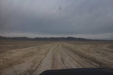
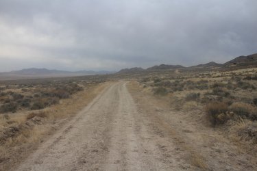
The Grassy Mountains dead ahead
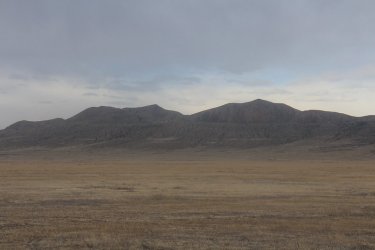
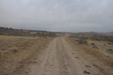
Southern end of the Grassy Mountains
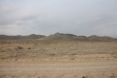
Grassy Benchmark is the high point at the center of the image - viewed from where we parked the Jeep
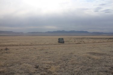
Solitude! The Jeep with the Lakeside Mountains to the east
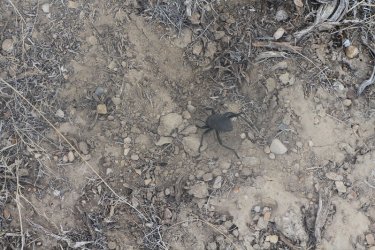
Desert Stink Beetle - @Rockskipper, I'm not sure if this means it likes me, or it doesn't? Anyway, I recited some Scatman
poetry to it, and it calmed right down.
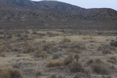
Baaaasque Country!
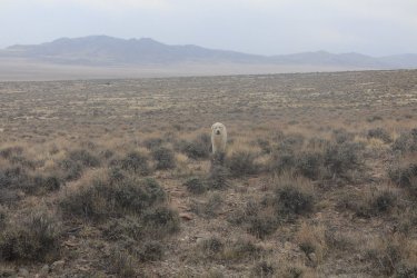
This dog (sheepdog?) was guarding the herd of sheep and letting us know not to come any closer.
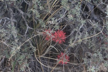
Paintbrush amidst the sage
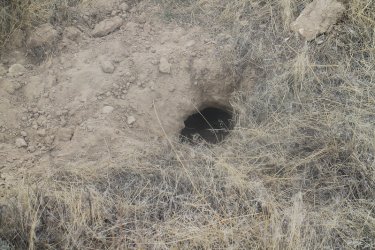
Badger hole. Scatman vs. badger, that might sell some tickets.
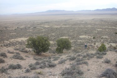
Beginning some uphill hiking at this point
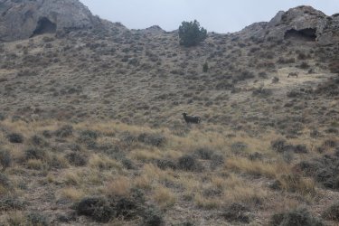
A kindred spirit since I am the black sheep of my family too.
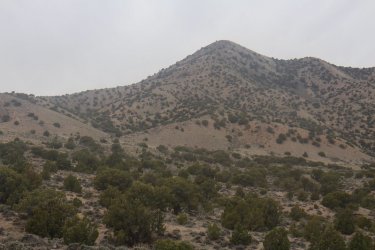
Grassy Benchmark. We headed up the ridge directly in front of us
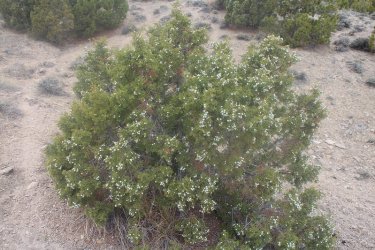
Junipers are getting their juniper berries
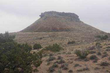
A little butte we went by
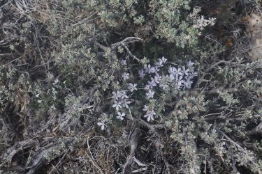
Spiny Phlox on the ridge
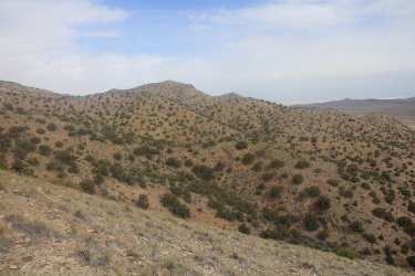
View to the north - unnamed peak 6157
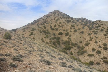
Making some progress
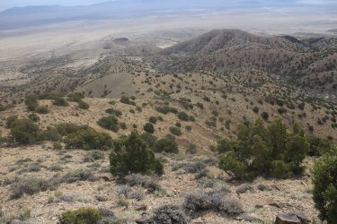
Looking back to the east and down the ridge
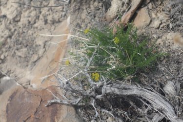
Spring Parsley, just below the summit - We didn't see very much of this compared to ours hikes on Stansbury Island and in the
Lakeside Mountains over the previous couple of weeks.
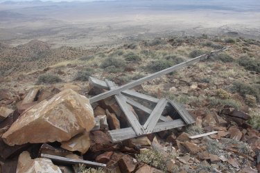
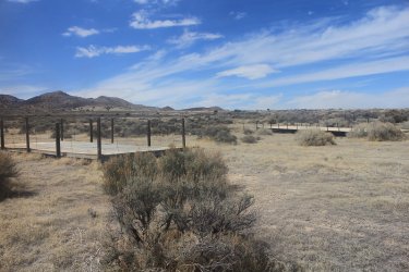
Some collapsed old structure at the top
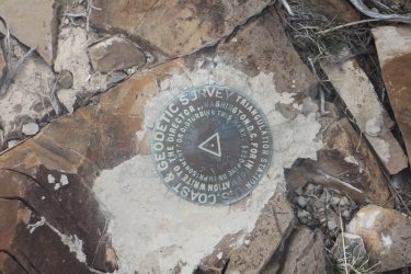
The Grassy Benchmark
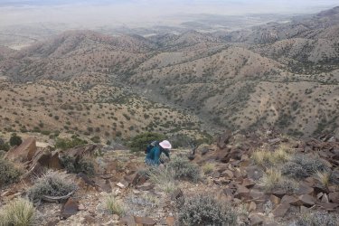
Sheila, approaching the summit
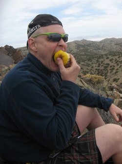
Burger Boy needs some calories!
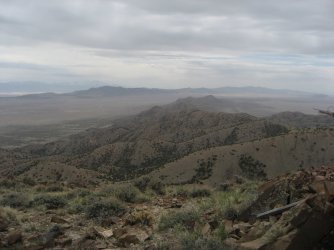
View to the south down the spine of the Grassy Mountains, with the Cedar Mountains in the distance
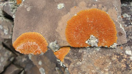
There was a lot of beautiful lichens up top
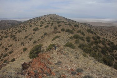
Heading north, over to unnamed peak 6582, the second highest in the range
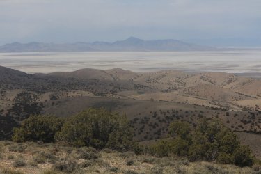
View to the northwest and Desert Peak in the Newfoundland Mountains
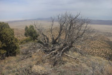
A dead juniper on the ridge
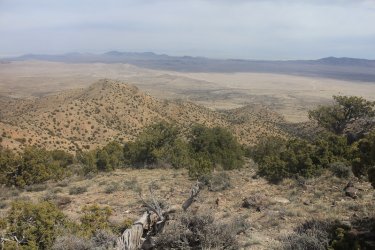
View of the north end of Puddle Valley - starting to get some sun in the afternoon
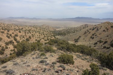
Working our way down into the canyon
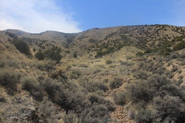
Looking back up the canyon, with Grassy Benchmark at the upper left of the image
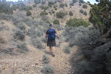
Making our way along the dry streambed towards Puddle Valley
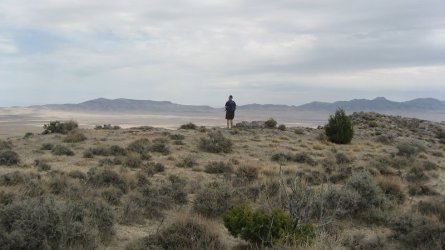
Looking out over Puddle valley
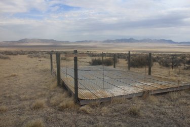
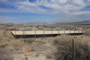
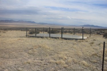
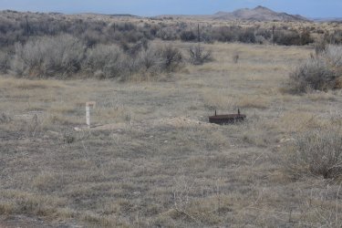
Central Puddle Valley Guzzler
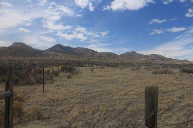
View back on our route from the guzzler
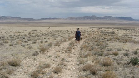
Finishing the loop
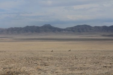
Couple of Puddle Valley Antelope. Peak 6551 of the Lakeside Mountains as a backdrop.
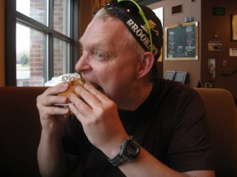
Look at him go! Burger Boy at his finest! The Scatsters went to the Bonneville Brewery in Tooele for an after hike meal. I had the mac-n-cheese burger
and some onions rings along with a Sir Malcolm's Stout, which was quite tasty.
The End.

The Grassy Mountains dead ahead

Southern end of the Grassy Mountains

Grassy Benchmark is the high point at the center of the image - viewed from where we parked the Jeep

Solitude! The Jeep with the Lakeside Mountains to the east

Desert Stink Beetle - @Rockskipper, I'm not sure if this means it likes me, or it doesn't? Anyway, I recited some Scatman
poetry to it, and it calmed right down.

Baaaasque Country!

This dog (sheepdog?) was guarding the herd of sheep and letting us know not to come any closer.

Paintbrush amidst the sage

Badger hole. Scatman vs. badger, that might sell some tickets.

Beginning some uphill hiking at this point

A kindred spirit since I am the black sheep of my family too.

Grassy Benchmark. We headed up the ridge directly in front of us

Junipers are getting their juniper berries

A little butte we went by

Spiny Phlox on the ridge

View to the north - unnamed peak 6157

Making some progress

Looking back to the east and down the ridge

Spring Parsley, just below the summit - We didn't see very much of this compared to ours hikes on Stansbury Island and in the
Lakeside Mountains over the previous couple of weeks.

Some collapsed old structure at the top

The Grassy Benchmark

Sheila, approaching the summit

Burger Boy needs some calories!

View to the south down the spine of the Grassy Mountains, with the Cedar Mountains in the distance

There was a lot of beautiful lichens up top

Heading north, over to unnamed peak 6582, the second highest in the range

View to the northwest and Desert Peak in the Newfoundland Mountains

A dead juniper on the ridge

View of the north end of Puddle Valley - starting to get some sun in the afternoon

Working our way down into the canyon

Looking back up the canyon, with Grassy Benchmark at the upper left of the image

Making our way along the dry streambed towards Puddle Valley

Looking out over Puddle valley

Central Puddle Valley Guzzler

View back on our route from the guzzler

Finishing the loop

Couple of Puddle Valley Antelope. Peak 6551 of the Lakeside Mountains as a backdrop.

Look at him go! Burger Boy at his finest!
and some onions rings along with a Sir Malcolm's Stout, which was quite tasty.
The End.
Last edited:


