- Joined
- Dec 23, 2013
- Messages
- 4,114
I had read that they recently had completed the Bonneville Shoreline Trail from the Pipeline Overlook back to the West Slope Trailhead for Grandeur Peak. Since I had the 19th off from work, I decided that I would check it out for myself.
I got an early 6:30 am start and headed up the west ridge to the summit of Grandeur. Once on top, I took some time to take some pictures and eat a snack. I then proceeded down the Church Fork Trail until I reached the intersection with the Pipeline Trail where I stopped and had lunch. After getting a bite to eat, I headed west along the Pipeline Trail all the way to the Pipeline Overlook. At the overlook, I took another break and enjoyed views of the Salt Lake Valley. I then verified that the new shoreline trail does indeed exist, and I took it back north to the Subaru waiting for me at the trailhead. Total loop distance is approximately 12 miles, with and additional mile added from the old trail due to all the switchbacks on the new section of the Shoreline Trail.
This report will have a lot of pictures of wildflowers, some good, some bad. It's definitely the right time to be on Grandeur if you like wildflowers, particularly in the Church Fork Drainage, but even the West Slope and the Pipeline Trail had impressive numbers of wildflowers still at their peak.
I loaded up my pack to 24 pounds to get some weight on my back hoping to get some training for my backpacking trips later this summer.
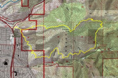
Overview map - this shows the old trail that heads northwest back to the trailhead and not the new Bonneville Shoreline Trail. I'll have to work on getting that on the map.

The Sube at 6:30 am.
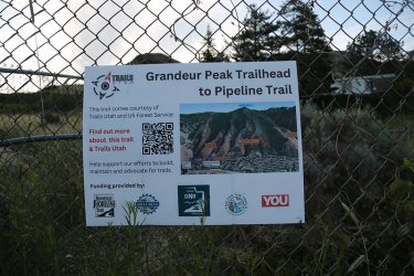
This is encouraging. I guess it must be there.
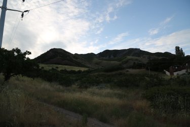
View of Grandeur from the west at the West Slope Trailhead
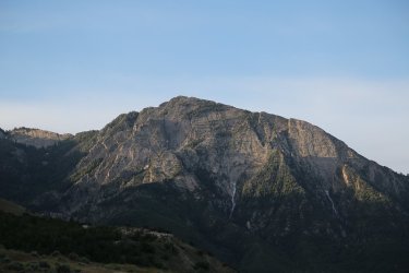
Sunrise on Mount Olympus to the south. I might be attempting Olympus with my son next Friday.
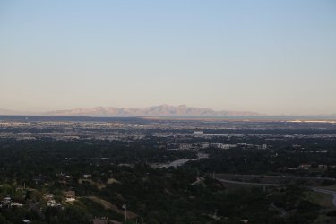
Sunrise on Stansbury Island to the west
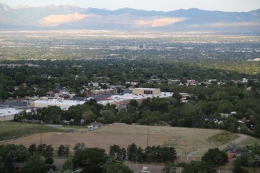
REI down below on 3300 South. It will come into play later in my report
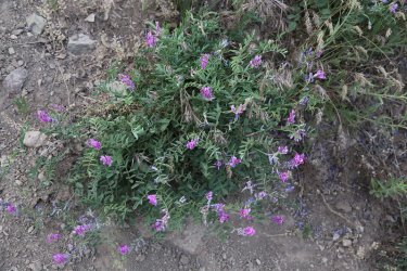
Vetch
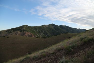
Parleys Ridge to the north
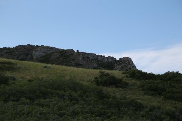
A piece of the Dragon's Tail to the south, which is another route (the best in my book) up Grandeur
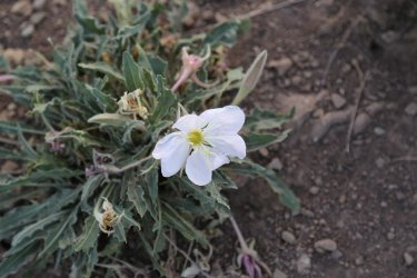
Evening primrose
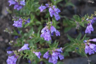
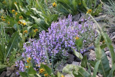
Penstemons - The mule ears down low were pretty beaten up. They improved the higher I got on the western side of Grandeur
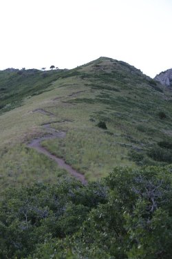
A steep ascent on the west side - roughly 3300 feet in two miles - even the switchbacks
don't offer a lot of relief for my old knees.
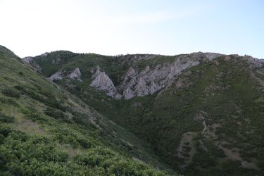
The eastern end of the Dragon's Tail
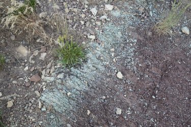
A nice thin layer of green shale paralleled the trail for a short distance
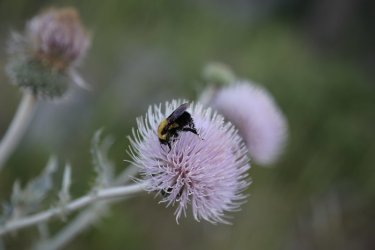
A bumblebee enjoying a flowering thistle
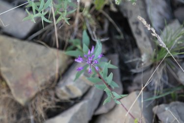
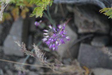
Hookers onions were plentiful throughout the hike
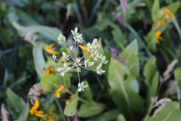
Biscuitroot
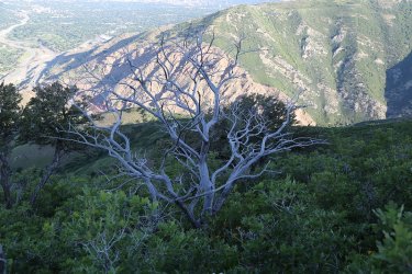
A dead mountain mahogany
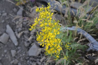
Hawksbeard
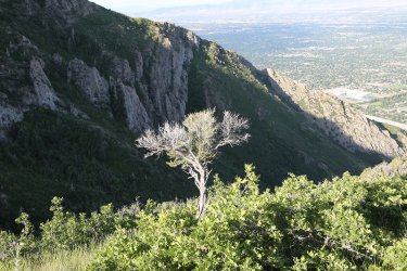
The sun has finally caught me and this lone mountain Mahogany with the Dragon's Tail in the background
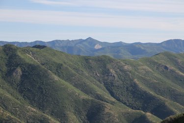
Grandview Peak to the north in the far distance. Lookout Peak is at the far upper left of the image too.
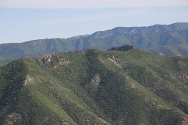
Perkins Peak on Parleys Ridge
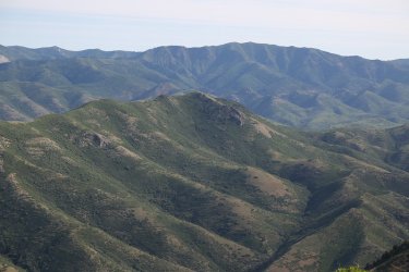
Dale Peak on Parleys Ridge
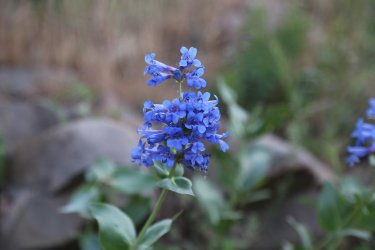
Wasatch Beardtongue
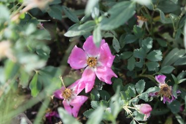
Wild rose
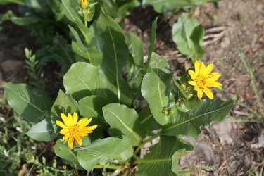
Mule ears
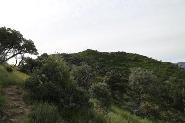
Grandeur summit ahead
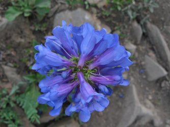
More Wasatch beardtongue
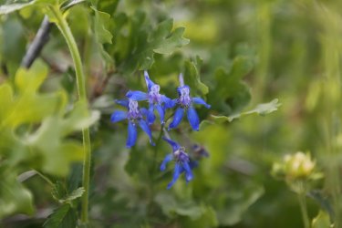
Larkspur
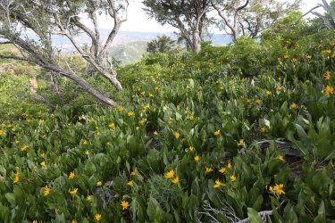
Slope full of mule ears
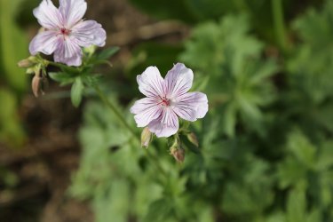
Sticky geranium
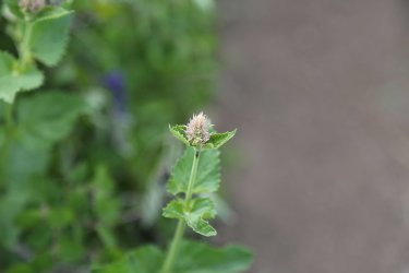
Horsemint
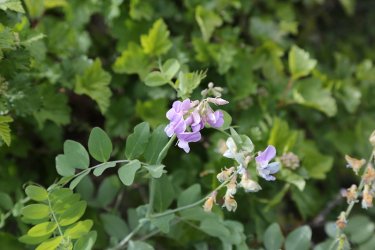
American Vetch
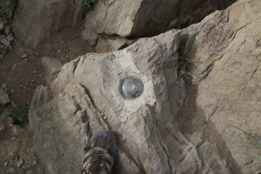
Mad it to the top
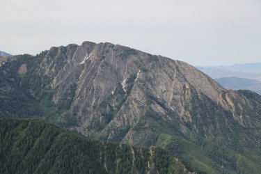
View of Olympus from the Grandeur summit
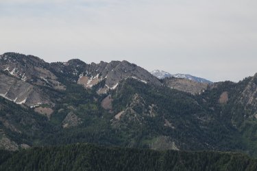
Triangle Peak across Millcreek Canyon - Lone Peak in the far distance
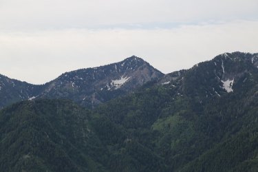
Mount Raymond
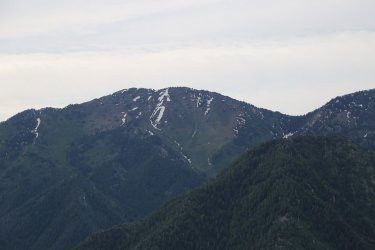
Gobblers Knob
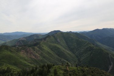
Church Fork Peak, with Mount Aire just beyond to the east along the Millcreek Ridge

Scat summit shot with my sandbell to help weight down my pack
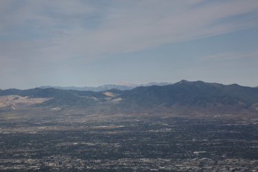
Deseret Peak way off to the west over the Oquirrh Mountains
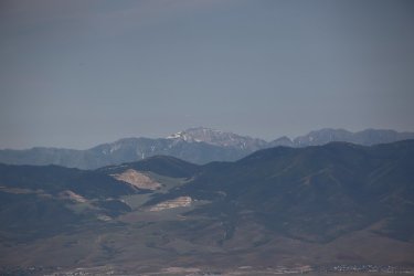
Another shot of Deseret Peak taken with my 75-300 zoom lens and a 1.4X teleconverter. I had to manually focus this one.
More shots with the zoom and teleconverter
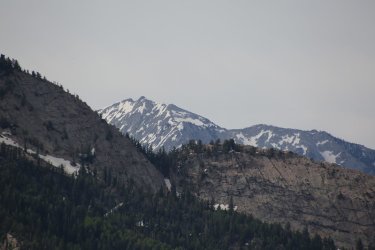
Lone Peak. In the foreground is the knifes edge ridge between Mount Olympus and Triangle Peak
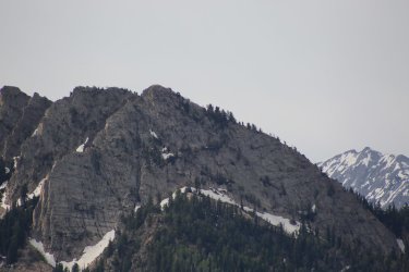
Triangle Peak
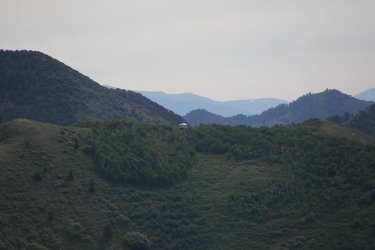
The yurt on Church Fork Peak
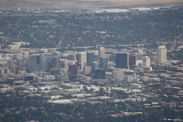
Downtown Salt Lake City
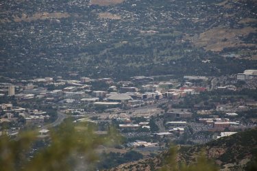
This one is for @Janice - University of Utah, taken with just the 75-300 mm zoom lens
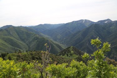
View up Millcreek Canyon
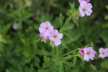
Sticky geraniums - Moving down into the Church Fork Drainage now. The wildflowers were tremendous in the drainage.
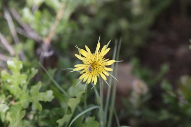
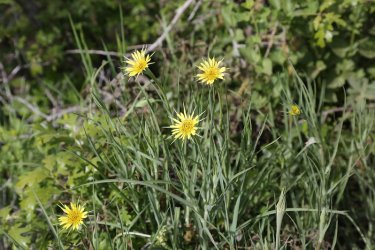
Yellow salsify
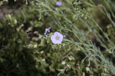
Lewis Flax
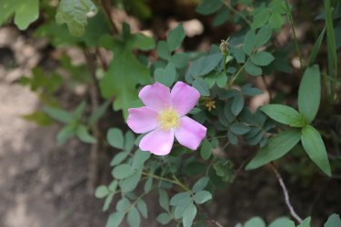
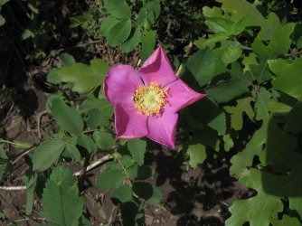
More roses
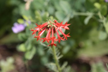
Skyrocket
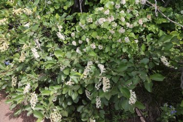
Choke cherry and California ninebark - I remembered ninebark this time @Ugly.
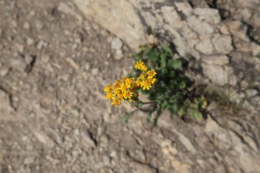
Groundsel
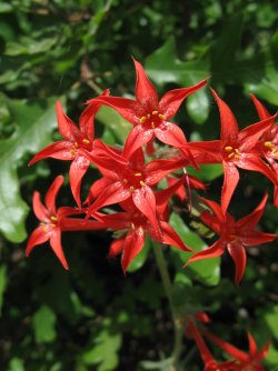
More skyrocket
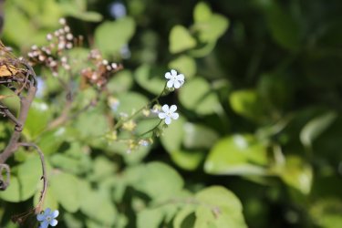
Forget-me-nots
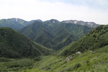
View down the Church Fork Drainage
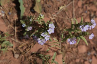
Phacelia
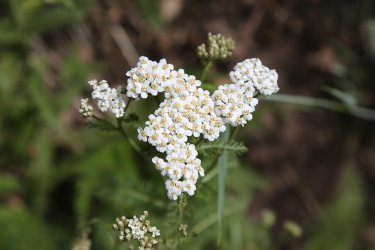
Common yarrow
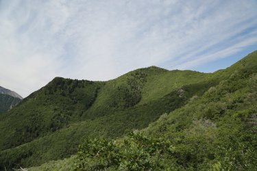
View of Grandeur peak from the Church Fork Trail
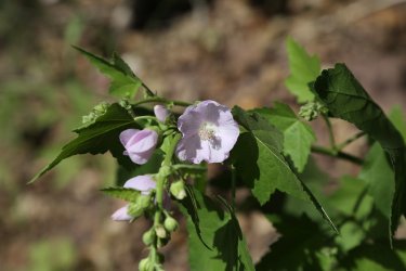
Globemallow
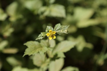
Cinquefoil
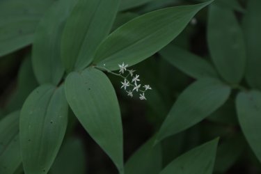
Solomon's seal
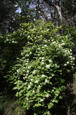
Ninebark
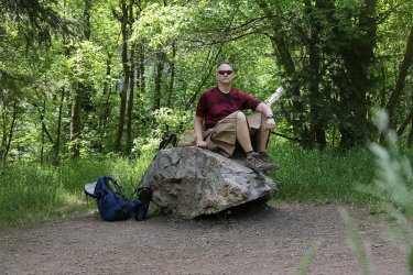
Lunch time at the junction of the Church Fork Trail and the Pipeline Trail
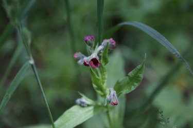
Hound's tongue


Workhorses for this hike
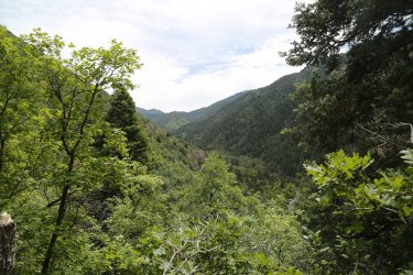
View back up Millcreek Canyon from the Pipeline Tail
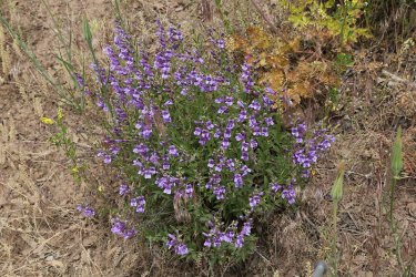
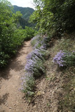
Penstemons on the Pipeline Trail
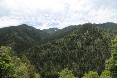
View across Millcreek Canyon
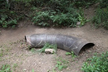
I guess this is why they call it the Pipeline Trail.
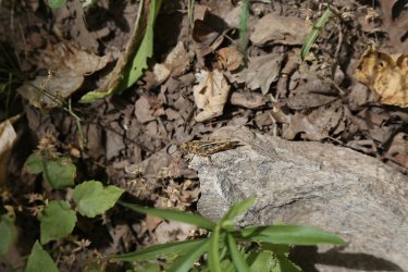
Grasshopper
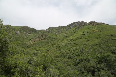
Looking up at the summit of Grandeur from Scout Hollow
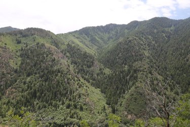
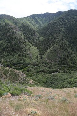
Views across the canyon
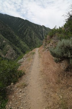
The Pipeline Trail becomes more exposed the further west you go on it
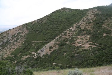
The switchbacks up Rattlesnake Gulch
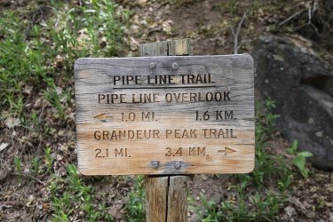
Trail intersection sign
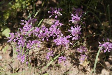
More onions
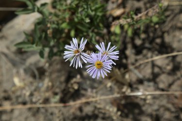
Fleabane
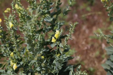
Toadflax
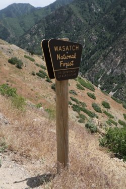
Forest Service Boundary
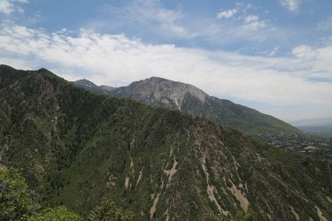
My old friend Olympus reappears
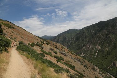
Last view up Millcreek
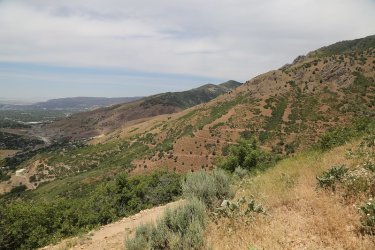
View of the switchbacks of the new section of the Bonneville Shoreline Trail as seen from the Pipeline Overlook. The old trail went
by the two water tanks at the lower left of the image
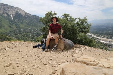
My last break at the overlook
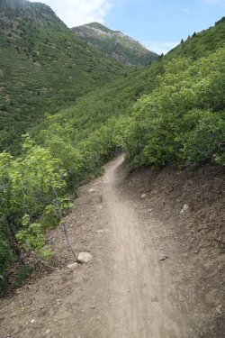
The new Shoreline Trail, with Grandeur Peak above
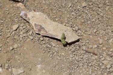
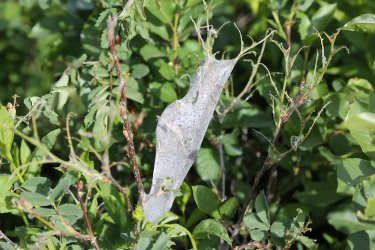
Ran into this green caterpillar on the trail
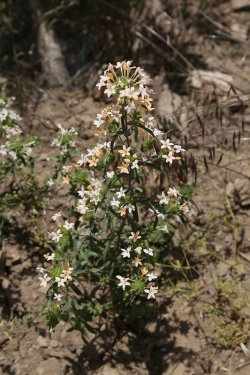
Grand collomia
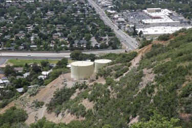
The old trail down below
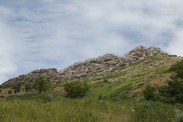
Coming back around to the Dragon's Tail
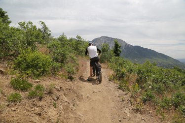
Aargh! E-bike! I almost went full grizzly again @Rockskipper! Hate 'em!
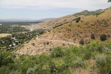
Shoreline Trail heading towards the West Slope Trailhead
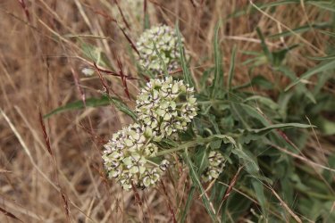
Spider Milkweed
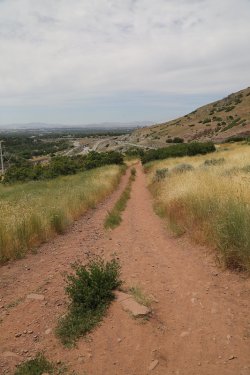
Dropping down to the trailhead
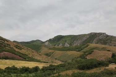
Looking back up at Grandeur in the afternoon this time

Back at the Sube

Stopped by REI on the way home to recycle some bicycle innertubes and to pick up @TractorDoc a fuel canister for his backpacking
stove. Hopefully he will whip me up some buckwheat pancakes in the backcountry while using it.
The End.
I got an early 6:30 am start and headed up the west ridge to the summit of Grandeur. Once on top, I took some time to take some pictures and eat a snack. I then proceeded down the Church Fork Trail until I reached the intersection with the Pipeline Trail where I stopped and had lunch. After getting a bite to eat, I headed west along the Pipeline Trail all the way to the Pipeline Overlook. At the overlook, I took another break and enjoyed views of the Salt Lake Valley. I then verified that the new shoreline trail does indeed exist, and I took it back north to the Subaru waiting for me at the trailhead. Total loop distance is approximately 12 miles, with and additional mile added from the old trail due to all the switchbacks on the new section of the Shoreline Trail.
This report will have a lot of pictures of wildflowers, some good, some bad. It's definitely the right time to be on Grandeur if you like wildflowers, particularly in the Church Fork Drainage, but even the West Slope and the Pipeline Trail had impressive numbers of wildflowers still at their peak.
I loaded up my pack to 24 pounds to get some weight on my back hoping to get some training for my backpacking trips later this summer.

Overview map - this shows the old trail that heads northwest back to the trailhead and not the new Bonneville Shoreline Trail. I'll have to work on getting that on the map.

The Sube at 6:30 am.

This is encouraging. I guess it must be there.

View of Grandeur from the west at the West Slope Trailhead

Sunrise on Mount Olympus to the south. I might be attempting Olympus with my son next Friday.

Sunrise on Stansbury Island to the west

REI down below on 3300 South. It will come into play later in my report

Vetch

Parleys Ridge to the north

A piece of the Dragon's Tail to the south, which is another route (the best in my book) up Grandeur

Evening primrose


Penstemons - The mule ears down low were pretty beaten up. They improved the higher I got on the western side of Grandeur

A steep ascent on the west side - roughly 3300 feet in two miles - even the switchbacks
don't offer a lot of relief for my old knees.

The eastern end of the Dragon's Tail

A nice thin layer of green shale paralleled the trail for a short distance

A bumblebee enjoying a flowering thistle


Hookers onions were plentiful throughout the hike

Biscuitroot

A dead mountain mahogany

Hawksbeard

The sun has finally caught me and this lone mountain Mahogany with the Dragon's Tail in the background

Grandview Peak to the north in the far distance. Lookout Peak is at the far upper left of the image too.

Perkins Peak on Parleys Ridge

Dale Peak on Parleys Ridge

Wasatch Beardtongue

Wild rose

Mule ears

Grandeur summit ahead

More Wasatch beardtongue

Larkspur

Slope full of mule ears

Sticky geranium

Horsemint

American Vetch

Mad it to the top

View of Olympus from the Grandeur summit

Triangle Peak across Millcreek Canyon - Lone Peak in the far distance

Mount Raymond

Gobblers Knob

Church Fork Peak, with Mount Aire just beyond to the east along the Millcreek Ridge

Scat summit shot with my sandbell to help weight down my pack

Deseret Peak way off to the west over the Oquirrh Mountains

Another shot of Deseret Peak taken with my 75-300 zoom lens and a 1.4X teleconverter. I had to manually focus this one.
More shots with the zoom and teleconverter

Lone Peak. In the foreground is the knifes edge ridge between Mount Olympus and Triangle Peak

Triangle Peak

The yurt on Church Fork Peak

Downtown Salt Lake City

This one is for @Janice - University of Utah, taken with just the 75-300 mm zoom lens

View up Millcreek Canyon

Sticky geraniums - Moving down into the Church Fork Drainage now. The wildflowers were tremendous in the drainage.


Yellow salsify

Lewis Flax


More roses

Skyrocket

Choke cherry and California ninebark - I remembered ninebark this time @Ugly.

Groundsel

More skyrocket

Forget-me-nots

View down the Church Fork Drainage

Phacelia

Common yarrow

View of Grandeur peak from the Church Fork Trail

Globemallow

Cinquefoil

Solomon's seal

Ninebark

Lunch time at the junction of the Church Fork Trail and the Pipeline Trail

Hound's tongue


Workhorses for this hike

View back up Millcreek Canyon from the Pipeline Tail


Penstemons on the Pipeline Trail

View across Millcreek Canyon

I guess this is why they call it the Pipeline Trail.

Grasshopper

Looking up at the summit of Grandeur from Scout Hollow


Views across the canyon

The Pipeline Trail becomes more exposed the further west you go on it

The switchbacks up Rattlesnake Gulch

Trail intersection sign

More onions

Fleabane

Toadflax

Forest Service Boundary

My old friend Olympus reappears

Last view up Millcreek

View of the switchbacks of the new section of the Bonneville Shoreline Trail as seen from the Pipeline Overlook. The old trail went
by the two water tanks at the lower left of the image

My last break at the overlook

The new Shoreline Trail, with Grandeur Peak above

Ran into this green caterpillar on the trail

Grand collomia

The old trail down below

Coming back around to the Dragon's Tail

Aargh! E-bike! I almost went full grizzly again @Rockskipper! Hate 'em!

Shoreline Trail heading towards the West Slope Trailhead

Spider Milkweed

Dropping down to the trailhead

Looking back up at Grandeur in the afternoon this time

Back at the Sube

Stopped by REI on the way home to recycle some bicycle innertubes and to pick up @TractorDoc a fuel canister for his backpacking
stove. Hopefully he will whip me up some buckwheat pancakes in the backcountry while using it.
The End.
Last edited:

