- Joined
- Dec 23, 2013
- Messages
- 4,311
I gave @Joey a call this morning, since I forgot about him on my Mount Van Cott hike yesterday, to see if he wanted to give Grandeur Peak a try today. He said, "sure", so I picked him up and we headed to the trailhead.
We began the hike at the Church Fork Trailhead up Millcreek Canyon. This route is the most popular one up Grandeur due to its more gradual approach. The route is normally 3.1 miles to the top from the trailhead but the campground where the trailhead is located is still closed. So from the road up Millcreek it's probably close to 3.5 miles to the top. The day had started off sunny but by the time we reached the trailhead it had clouded up and turned a bit chilly.
We began hiking and made good time up the trail, except for my picture taking. Joey was kind enough to wait while I took shots along the trail, which was muddy and icy in places, and after an hour and fifty three minutes we made it to the top. Just before reaching the top and while on top we had a nice black cloud roll over us and produce a squall that spit snow, and really turned up the wind! All around us the sun was shining but we had to endure lunch in the cold and shade.
After lunch, we made our way down on a slippery trail but otherwise the descent was uneventful.
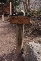
Grandeur Peak Trailhead
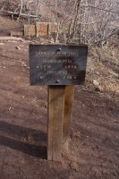
Mileage to the top of Grandeur
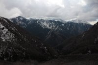 Wildcat Ridge to the south
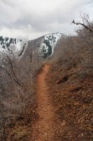
Grandeur Peak above the trail
 Joey on the trail
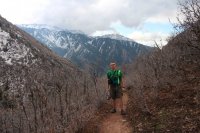 Scatman on the trail
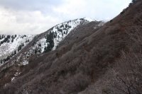 The summit of Grandeur Peak (8299 ft)
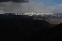 The dark, black cloud moving in on us with Grandview Peak in the distance.
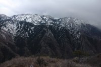 Mount Olympus and Wildcat Ridge as seen from the summit of Grandeur Peak
 Tweedle Dee and Tweedle Dumb on top of Grandeur
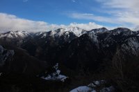 Gobblers Knob and Mount Raymond
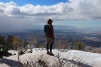 Joey, contemplating life before heading down.
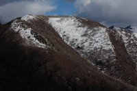 Church Fork Peak seen on the way down.
We began the hike at the Church Fork Trailhead up Millcreek Canyon. This route is the most popular one up Grandeur due to its more gradual approach. The route is normally 3.1 miles to the top from the trailhead but the campground where the trailhead is located is still closed. So from the road up Millcreek it's probably close to 3.5 miles to the top. The day had started off sunny but by the time we reached the trailhead it had clouded up and turned a bit chilly.
We began hiking and made good time up the trail, except for my picture taking. Joey was kind enough to wait while I took shots along the trail, which was muddy and icy in places, and after an hour and fifty three minutes we made it to the top. Just before reaching the top and while on top we had a nice black cloud roll over us and produce a squall that spit snow, and really turned up the wind! All around us the sun was shining but we had to endure lunch in the cold and shade.
After lunch, we made our way down on a slippery trail but otherwise the descent was uneventful.

Grandeur Peak Trailhead

Mileage to the top of Grandeur
 Wildcat Ridge to the south
Grandeur Peak above the trail
 Joey on the trail
 Scatman on the trail
 The summit of Grandeur Peak (8299 ft)
 The dark, black cloud moving in on us with Grandview Peak in the distance.
 Mount Olympus and Wildcat Ridge as seen from the summit of Grandeur Peak
 Tweedle Dee and Tweedle Dumb on top of Grandeur
 Gobblers Knob and Mount Raymond
 Joey, contemplating life before heading down.
 Church Fork Peak seen on the way down.