Ben
Member
- Joined
- Sep 12, 2014
- Messages
- 1,873
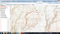
We managed to get out this week end, finally, and we hiked about five miles around Gooding City of Rocks. I've been wanting to get back there for a while. I did an over night backpack there with my Dad and some of my brothers about fifteen years ago or so. It has hoodoos. This image shows the area we covered. Not as much as i'd've liked, but that's nearly standard.
We drove to the end of the maintained road. There is a sign alerting you when you reach this point. We probably could have made it a ways farther, but we didn't need to. A high clearance vehicle is most likely necessary to do the entire road. From where we parked we walked back a little ways to drop into the canyon of Coyote Creek.
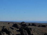
Looking from the parking area, all the way across the Snake River Plain to what i believe are the Albion Mountains.
There were these little flowers around.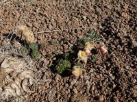
Above the head of Coyote Canyon.
Dropping in.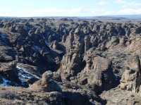
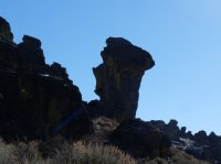
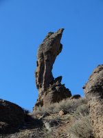
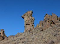
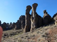
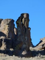
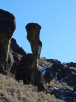
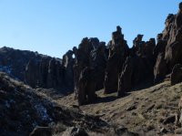
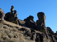
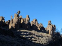
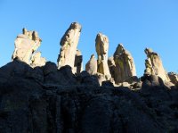
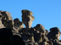
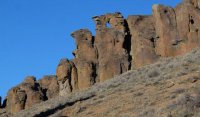
Hoodoos.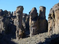
After just a little ways, we found our first arch. This was the largest one that we actually approached, and probably the second largest we saw.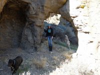
When we walked through it we saw there was a second arch right next to it that we hadn't noticed from the other side.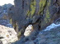
Down canyon.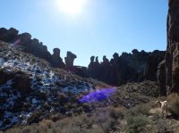
Looking up.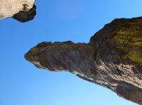
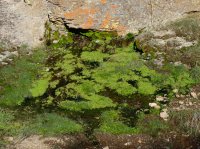
Brittinei found this spring. I would have walked past it looking for pictures of the hoodoos.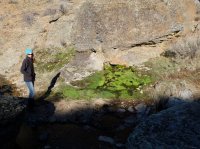
Across from the spring was this seep.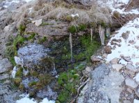
There was a sheet of ice that conformed to the surface.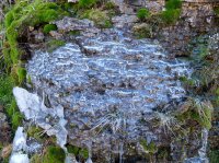
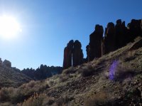
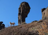
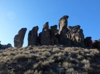
A high arch.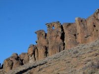
That same arch is on the left in this picture.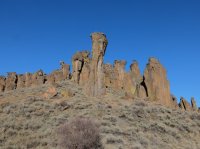
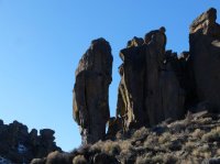
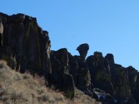
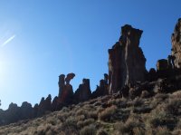
A couple tiny windows.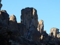
The creek in the bottom. Here the bottom widened out, later it would constrict, it alternated a little bit.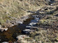
This was probably the largest arch that we saw, looking like a cave above us. We did not go up to it.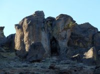
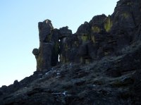
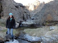
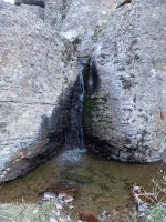
A small water fall entering from the side.
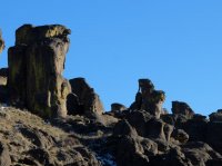
It got late enough, we had to leave the canyon bottom to start making our way back to the car. We went cross country from the canyon over to the lower reaches of the road that we had originally been driving on. There's no real trail in the canyon either, just game.
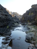
Along the way these three arches were all with in about 20 yards of each other.
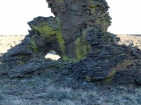
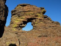
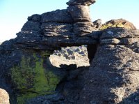
More flowers.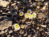
Back on the road, about a mile and a half from the car.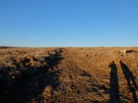
Along the road.
Looking to the Albion Mountains again in the low light.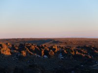
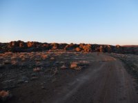
Featured image for home page:

We drove to the end of the maintained road. There is a sign alerting you when you reach this point. We probably could have made it a ways farther, but we didn't need to. A high clearance vehicle is most likely necessary to do the entire road. From where we parked we walked back a little ways to drop into the canyon of Coyote Creek.
Looking from the parking area, all the way across the Snake River Plain to what i believe are the Albion Mountains.

There were these little flowers around.

Above the head of Coyote Canyon.

Dropping in.

Hoodoos.

After just a little ways, we found our first arch. This was the largest one that we actually approached, and probably the second largest we saw.

When we walked through it we saw there was a second arch right next to it that we hadn't noticed from the other side.

Down canyon.

Looking up.


Brittinei found this spring. I would have walked past it looking for pictures of the hoodoos.


Across from the spring was this seep.

There was a sheet of ice that conformed to the surface.


A high arch.

That same arch is on the left in this picture.


A couple tiny windows.

The creek in the bottom. Here the bottom widened out, later it would constrict, it alternated a little bit.

This was probably the largest arch that we saw, looking like a cave above us. We did not go up to it.


A small water fall entering from the side.


It got late enough, we had to leave the canyon bottom to start making our way back to the car. We went cross country from the canyon over to the lower reaches of the road that we had originally been driving on. There's no real trail in the canyon either, just game.

Along the way these three arches were all with in about 20 yards of each other.


More flowers.

Back on the road, about a mile and a half from the car.

Along the road.

Looking to the Albion Mountains again in the low light.


Featured image for home page:

Last edited:
