- Joined
- Dec 23, 2013
- Messages
- 4,305
Gobble, gobble, gobble! That can only mean one of two things: One is that there are turkeys lurking about, the other is that I have decided to hike up Gobblers Knob.
I started my hike around 6:15 in the morning, and chose the Bowman Fork route in Millcreek Canyon to reach Gobblers. Taking the Bowman route, makes it about 6.2 miles to the summit, so roundtrip, just under twelve and a half miles. I always mentally break this hike into segments. First, is Bowman Fork which has its own microclimate, kind of humid, cool with thick undergrowth. It kind of reminds me of hiking in the Smoky Mountains a bit. The second segment begins as you start climbing out of the fork itself, and this part of the trail runs through a conifer forest that is very shady and pleasant. Third, one hits what I refer to as the "dry segment." The trail is more exposed once you've crossed White Fir Pass and make your way along Yellow Jacket Gulch. As you make your way out of Yellow Jacket there is an unnamed highpoint (elev. 8272) that makes for a good place to take a break. At this point, you get a good view of the north side of Mount Raymond. I ate half a Cliff Bar and put some sunscreen on while enjoying the view. Fourth, as you begin hiking again above Pole Canyon, the scenery changes to aspens until you reach Baker Spring. At this point you climb up a small ridge before hitting the fifth segment which traverses the lower slope of Gobblers Knob all the way to Baker Pass. There are expansive views along this stretch. The sixth and last segment is just the climb up the ridge of Gobblers. Once on top, you'll find that the views were worth the effort to get there.
Now once again, the wildflowers were spectacular right from the get go, and lasted all the way to the summit. So in this report you are going to see a lot of pictures of wildflowers. I'm sorry, I just can't help myself. I ended up taking over 800 pictures on this hike. I hope you enjoy at least some of them.
I did get drizzled on while making my way up Bowman Fork, and on my return, when I entered Bowman aging it began the thunder and lightning. I almost made it back to the main road up Millcreek Canyon before it started to rain. Once I arrived at my car, it really started coming down, and when I got inside my car is when the hail started. I ended up pulling off the road for about five minutes on my way down the canyon as my wipers couldn't keep up with the deluge.
Anyway, enough of me yacking, here are the shots from my hike.
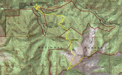
Hike overview map
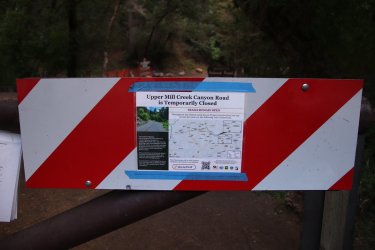
They are working on the road in upper Millcreek, widening the road in spots and upgrading some of the trailheads.
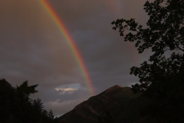
Right off the bat I knew the weather might be iffy, but this rainbow by Grandeur Peak was worth the drizzles up Bowman
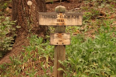
Take a right for Bowman Fork
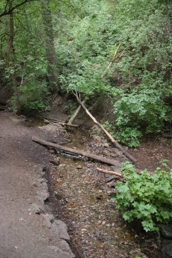
Bowman Fork
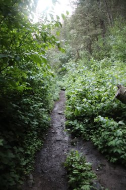
Typical of the trail down in the Fork
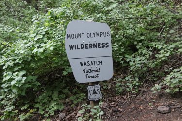
Crossing over into the Mount Olympus Wilderness
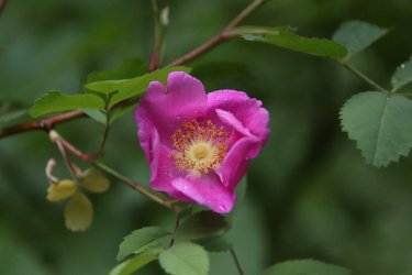
Wood rose
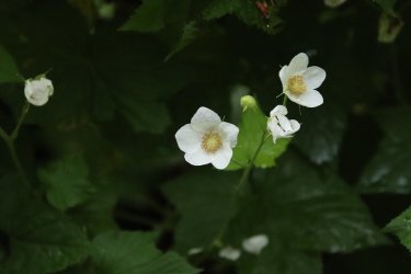
Thimbleberry
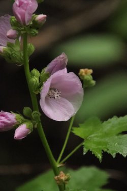
Streambank globemallow
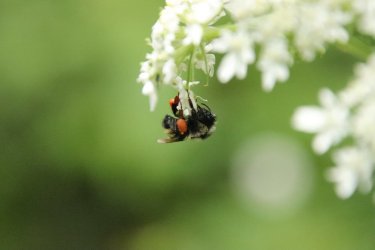
A bumblebee taking shelter under some cow parsnip during a drizzle. This reminded me of a Bob Dylan song called "Shelter From
The Storm," which was then stick in my head for the rest of the way up.
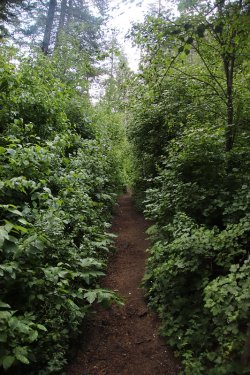
More Bowman Fork Trail
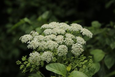
Cow parsnip
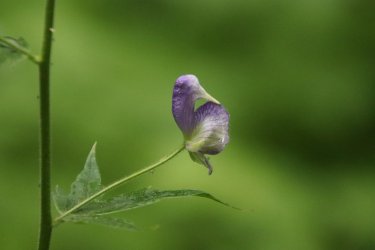
A monkshood bloom that is not quite there yet. This was the only monkshood that I saw on the entire hike
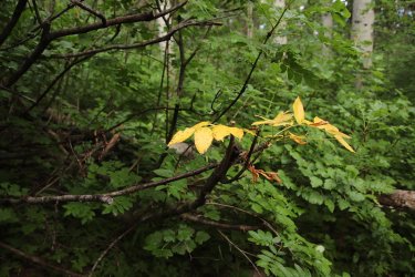
Fall colors already?
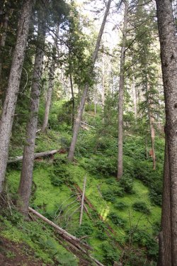
Now in the conifer section of my hike
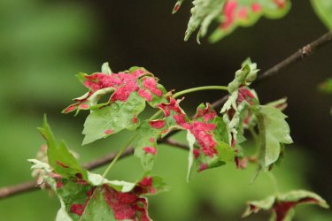
A rust or fungus on these maple leaves?
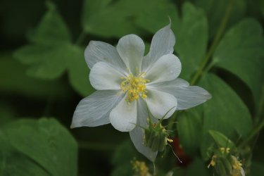
Columbine are plentiful along this stretch
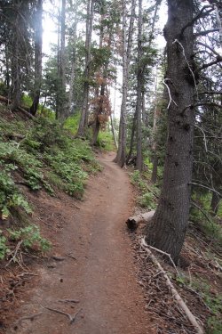
So pleasant through here
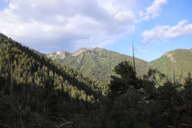
Once you hit White Fir Pass the views become bigger
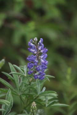
Lupine
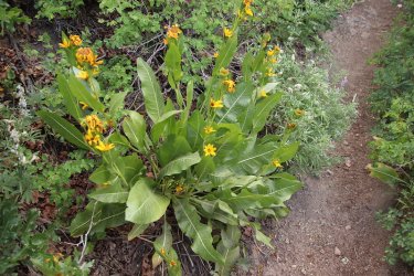
This was the best looking mule-ears that I saw on this hike. They are definitely past their prime now.
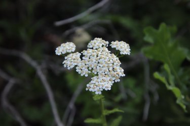
Common yarrow
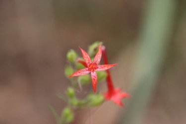
Skyrocket
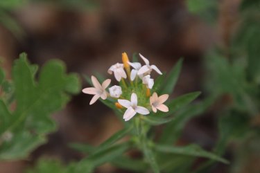
Grand Colomia
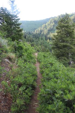
A view of what I refer to as the "dry section"
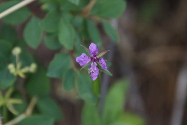
Diamond clarkia
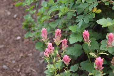
Rosy paintbrush
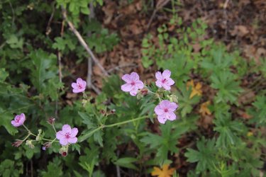
Sticky geraniums
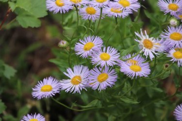
Fleabane
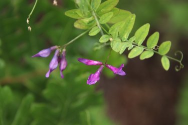
American vetch
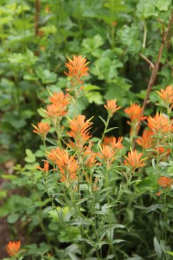
Wyoming paintbrush
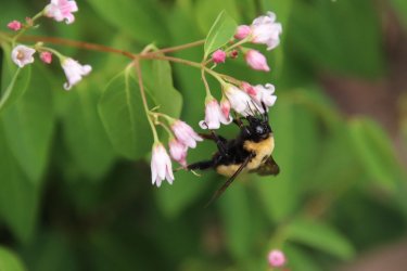
A bumblebee on some spreading dogbane
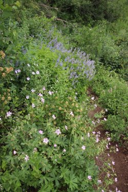
Richard's geraniums, ninebark and lupine, along with some horsemint
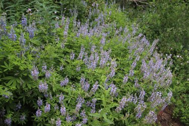
Lupine
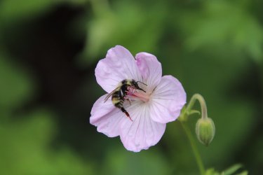
Bumblebee navigating a sticky geranium
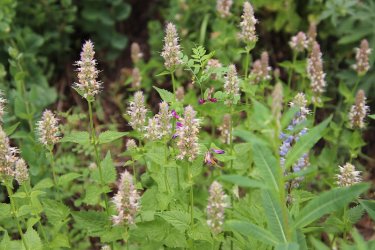
Horsemint and some American vetch
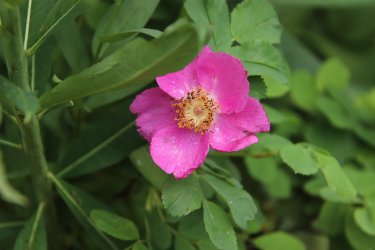
Another wood's rose
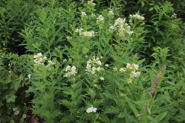
Jacobs ladder
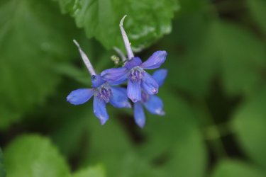
Larkspur. I only saw two of these on the hike.
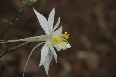
Side shot of some columbine
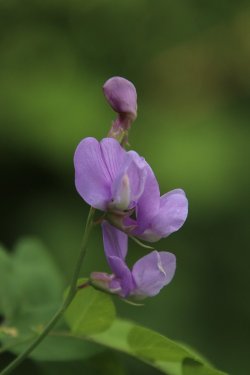
Few-flowered pea
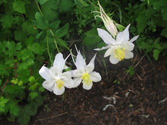
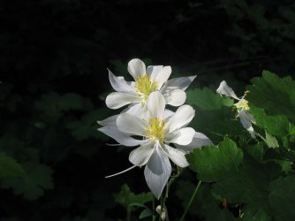
Columbine
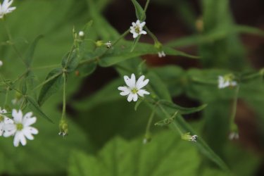
Sticky starwort
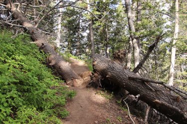
Trail crew please.
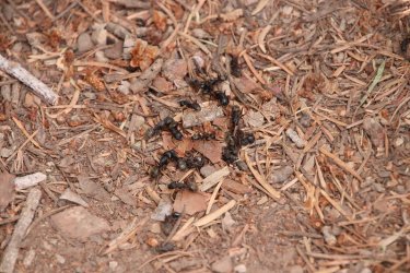
A gathering of large black ants on the trail
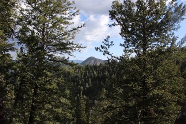
Mount Aire (where I was last weekend) across the canyon
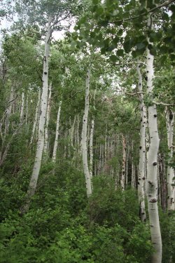
The aspen section
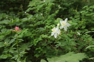
Rosy paintbrush and columbine
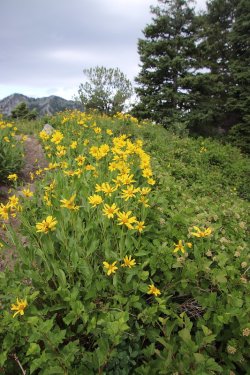
Rocky Mountain dwarf sunflowers
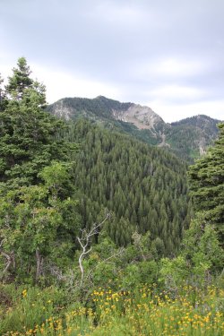
Mount Raymond and some dwarf sunflowers
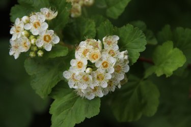
Mountain ninebark
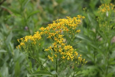
Ragwort
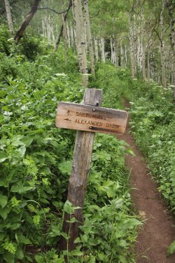
I'm heading to Baker Pass
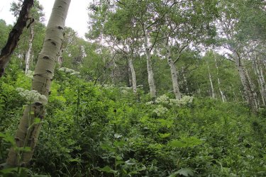
Through these aspen stands, the cow parsnip was numerous. I took a lot of shots to try and capture the feel of it, but this one
turned out to be the best of the bunch, and it still doesn't quite do the trick.
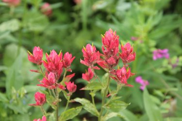
Rosy paintbrush
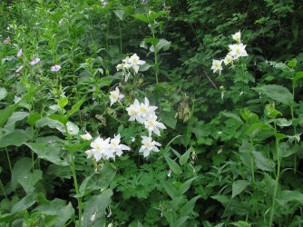
Columbines
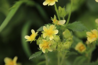
Sticky cinquefoil
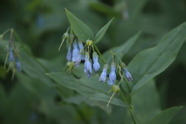
Bluebells
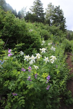
Few-flowered peas, columbine, lupine and some paintbrush
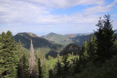
View across Porter Fork toward Grandeur Peak, with Thayne Peak in the foreground
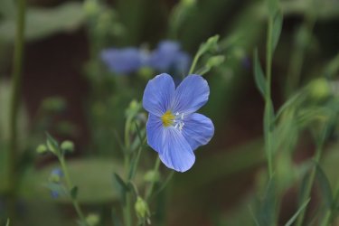
Lewis flax
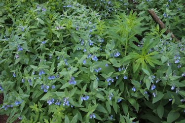
Tons of bluebells
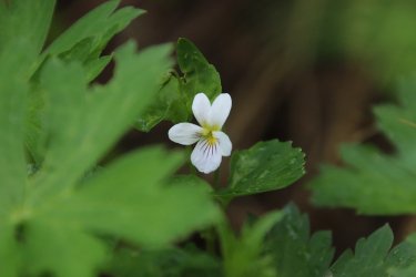
Canada violet
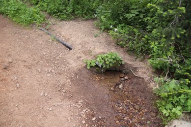
Baker Spring. I stopped and refilled my water bottle here on the way back down
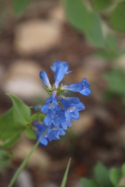
Wasatch beardtongue
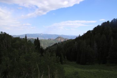
Another look north towards Mount Aire
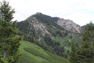
Mount Raymond as I get closer to Baker Pass
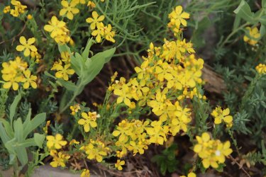
King's flax
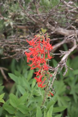
Skyrockets
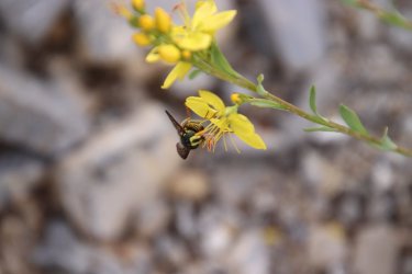
Yellow jacket on some king's flax
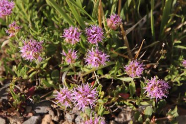
Mountain coyote mint
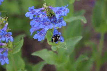
Bumblebee and an ant enjoying some beardtongue
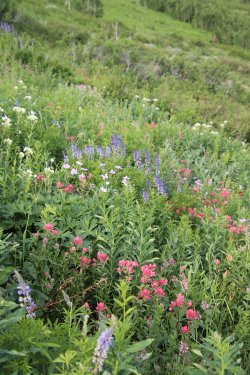
Paintbrush, geraniums and lupine
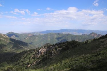
The Millcreek Rudge from L-R - Grandeur Peak, Church Fork Peak, Birch Hollow, and Mount Aire
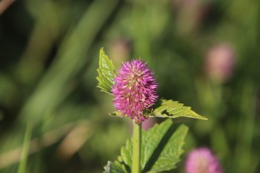
Horsemint
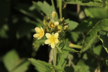
Sticky cinquefoil
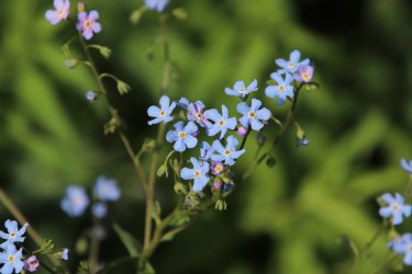
Blue stickseed
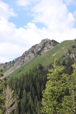
Mount Raymond
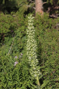
Monument plant
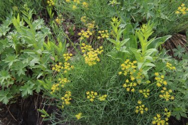
Desert parsley
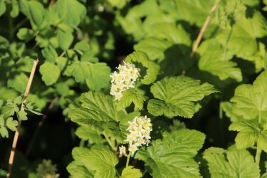
Currant
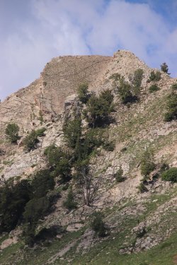
Summit of Raymond
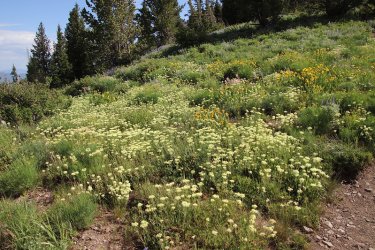
Wild buckwheat
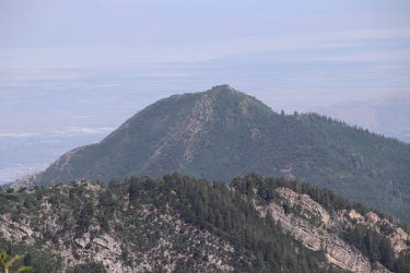
Zoomed in on the summit of Grandeur Peak
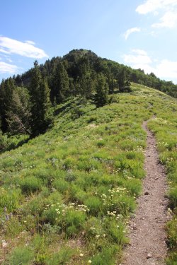
Looking up at the false summit of Gobblers
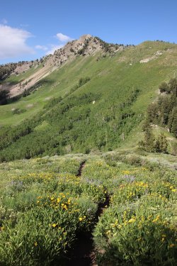
Mount Raymond to the west as I begin my climb of Gobbles Knob
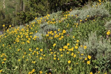
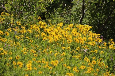
Dwarf sunflowers
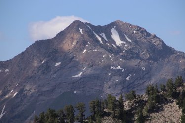
Zoomed in on Broad Fork Twin Peaks
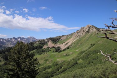
Mount Raymond to Broads Fork Twins
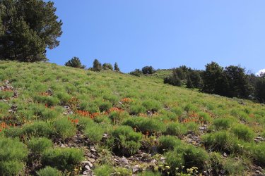
Still making my way up the ridge, with plenty of paintbrush to keep me company
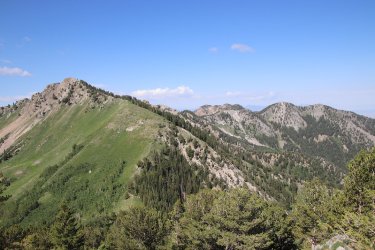
Majority of Wildcat Ridge, unfortunately Mount Olympus is out of view
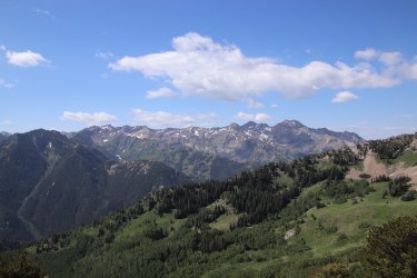
The Cottonwood Ridge
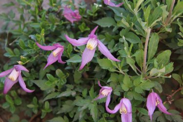
Clematis
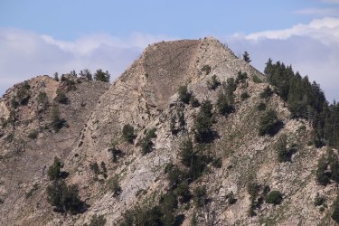
Summit of Raymond
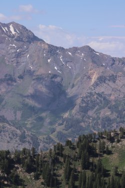
Zoomed in on the Robinson's Couloir for the Robinson's Variation of summiting Broads
Fork Twin Peaks
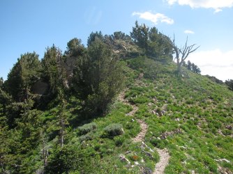
False summit ahead
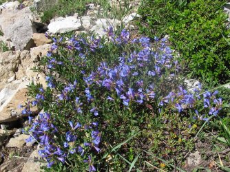
Wasatch beardtongue
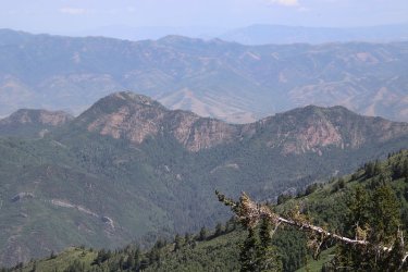
Zoomed in on Mount Aire and unnamed peak 8490
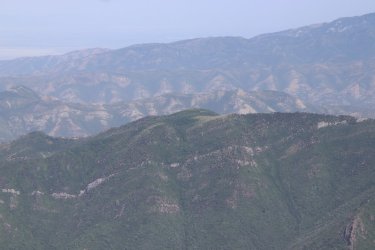
Zoomed in on the summit of Church Fork Peak. If you squint, you might be able to see the yurt on top.
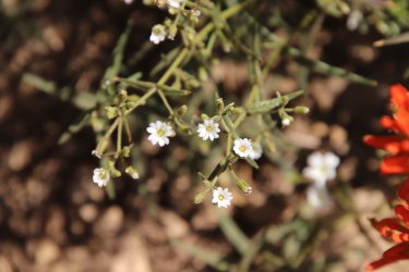
Tuber starwart
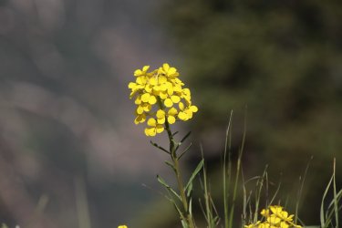
Western wallflower
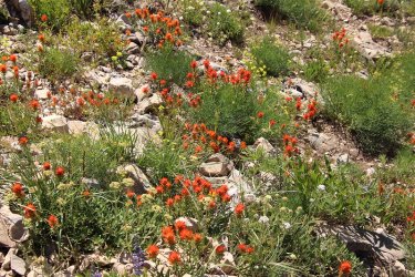
Paintbrush galore
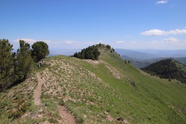
True summit ahead
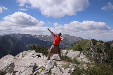
Bikini pose on the summit
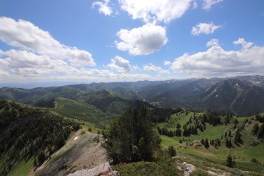
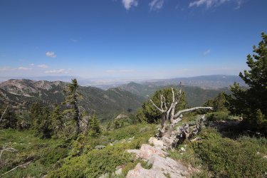
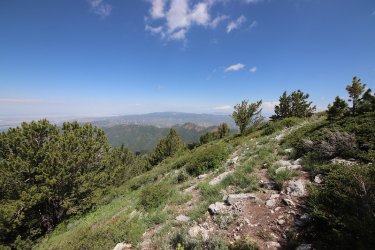
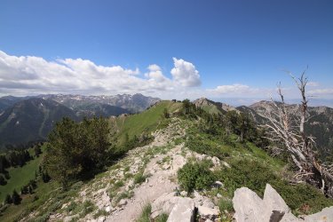
Some wide angle views now from the summit.
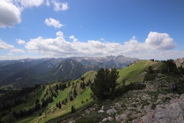
And now back to our regularly scheduled programming.
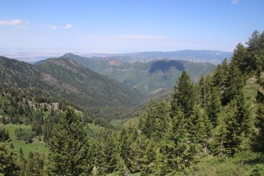
View down into Porter Fork
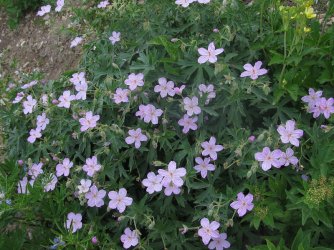
Geraniums on my way back down
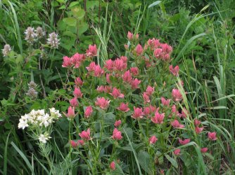
Group of rosy paintbrush
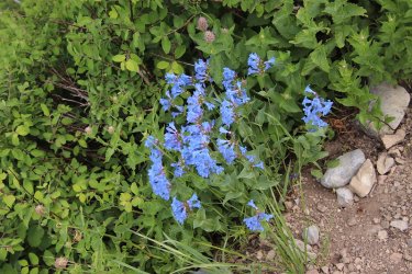
And beardtongue
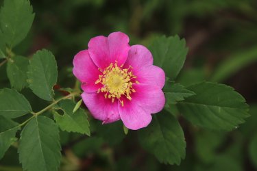
My favorite wood's rose shot of the hike
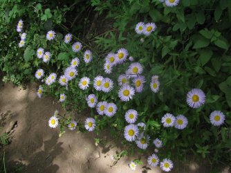
Spreading fleabane
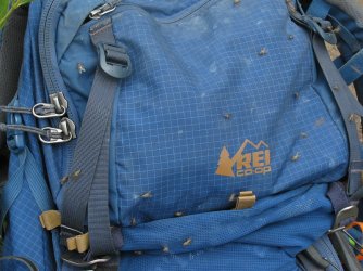
These were biting flies, and they drove me nuts on the way down
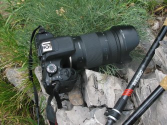
Canon Rebel T7i for this hike
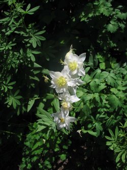
More columbine
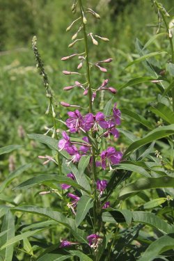
Fireweed
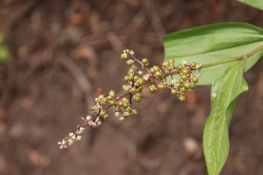
Solomon's plume
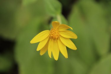
Heart-leafed Arnica
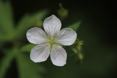
Richard's geranium back in Bowman Fork
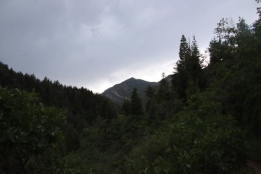
Thunder clouds are building up
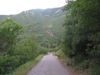
I got just around the bend of this road when it started to rain
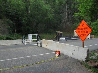
No access to the upper canyon
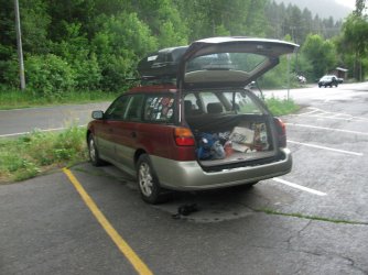
I had to hide the t7i under the car while I put my gear away.
The End.
I started my hike around 6:15 in the morning, and chose the Bowman Fork route in Millcreek Canyon to reach Gobblers. Taking the Bowman route, makes it about 6.2 miles to the summit, so roundtrip, just under twelve and a half miles. I always mentally break this hike into segments. First, is Bowman Fork which has its own microclimate, kind of humid, cool with thick undergrowth. It kind of reminds me of hiking in the Smoky Mountains a bit. The second segment begins as you start climbing out of the fork itself, and this part of the trail runs through a conifer forest that is very shady and pleasant. Third, one hits what I refer to as the "dry segment." The trail is more exposed once you've crossed White Fir Pass and make your way along Yellow Jacket Gulch. As you make your way out of Yellow Jacket there is an unnamed highpoint (elev. 8272) that makes for a good place to take a break. At this point, you get a good view of the north side of Mount Raymond. I ate half a Cliff Bar and put some sunscreen on while enjoying the view. Fourth, as you begin hiking again above Pole Canyon, the scenery changes to aspens until you reach Baker Spring. At this point you climb up a small ridge before hitting the fifth segment which traverses the lower slope of Gobblers Knob all the way to Baker Pass. There are expansive views along this stretch. The sixth and last segment is just the climb up the ridge of Gobblers. Once on top, you'll find that the views were worth the effort to get there.
Now once again, the wildflowers were spectacular right from the get go, and lasted all the way to the summit. So in this report you are going to see a lot of pictures of wildflowers. I'm sorry, I just can't help myself.
I did get drizzled on while making my way up Bowman Fork, and on my return, when I entered Bowman aging it began the thunder and lightning. I almost made it back to the main road up Millcreek Canyon before it started to rain. Once I arrived at my car, it really started coming down, and when I got inside my car is when the hail started. I ended up pulling off the road for about five minutes on my way down the canyon as my wipers couldn't keep up with the deluge.
Anyway, enough of me yacking, here are the shots from my hike.

Hike overview map

They are working on the road in upper Millcreek, widening the road in spots and upgrading some of the trailheads.

Right off the bat I knew the weather might be iffy, but this rainbow by Grandeur Peak was worth the drizzles up Bowman

Take a right for Bowman Fork

Bowman Fork

Typical of the trail down in the Fork

Crossing over into the Mount Olympus Wilderness

Wood rose

Thimbleberry

Streambank globemallow

A bumblebee taking shelter under some cow parsnip during a drizzle. This reminded me of a Bob Dylan song called "Shelter From
The Storm," which was then stick in my head for the rest of the way up.

More Bowman Fork Trail

Cow parsnip

A monkshood bloom that is not quite there yet. This was the only monkshood that I saw on the entire hike

Fall colors already?

Now in the conifer section of my hike

A rust or fungus on these maple leaves?

Columbine are plentiful along this stretch

So pleasant through here

Once you hit White Fir Pass the views become bigger

Lupine

This was the best looking mule-ears that I saw on this hike. They are definitely past their prime now.

Common yarrow

Skyrocket

Grand Colomia

A view of what I refer to as the "dry section"

Diamond clarkia

Rosy paintbrush

Sticky geraniums

Fleabane

American vetch

Wyoming paintbrush

A bumblebee on some spreading dogbane

Richard's geraniums, ninebark and lupine, along with some horsemint

Lupine

Bumblebee navigating a sticky geranium

Horsemint and some American vetch

Another wood's rose

Jacobs ladder

Larkspur. I only saw two of these on the hike.

Side shot of some columbine

Few-flowered pea


Columbine

Sticky starwort

Trail crew please.

A gathering of large black ants on the trail

Mount Aire (where I was last weekend) across the canyon

The aspen section

Rosy paintbrush and columbine

Rocky Mountain dwarf sunflowers

Mount Raymond and some dwarf sunflowers

Mountain ninebark

Ragwort

I'm heading to Baker Pass

Through these aspen stands, the cow parsnip was numerous. I took a lot of shots to try and capture the feel of it, but this one
turned out to be the best of the bunch, and it still doesn't quite do the trick.

Rosy paintbrush

Columbines

Sticky cinquefoil

Bluebells

Few-flowered peas, columbine, lupine and some paintbrush

View across Porter Fork toward Grandeur Peak, with Thayne Peak in the foreground

Lewis flax

Tons of bluebells

Canada violet

Baker Spring. I stopped and refilled my water bottle here on the way back down

Wasatch beardtongue

Another look north towards Mount Aire

Mount Raymond as I get closer to Baker Pass

King's flax

Skyrockets

Yellow jacket on some king's flax

Mountain coyote mint

Bumblebee and an ant enjoying some beardtongue

Paintbrush, geraniums and lupine

The Millcreek Rudge from L-R - Grandeur Peak, Church Fork Peak, Birch Hollow, and Mount Aire

Horsemint

Sticky cinquefoil

Blue stickseed

Mount Raymond

Monument plant

Desert parsley

Currant

Summit of Raymond

Wild buckwheat

Zoomed in on the summit of Grandeur Peak

Looking up at the false summit of Gobblers

Mount Raymond to the west as I begin my climb of Gobbles Knob


Dwarf sunflowers

Zoomed in on Broad Fork Twin Peaks

Mount Raymond to Broads Fork Twins

Still making my way up the ridge, with plenty of paintbrush to keep me company

Majority of Wildcat Ridge, unfortunately Mount Olympus is out of view

The Cottonwood Ridge

Clematis

Summit of Raymond

Zoomed in on the Robinson's Couloir for the Robinson's Variation of summiting Broads
Fork Twin Peaks

False summit ahead

Wasatch beardtongue

Zoomed in on Mount Aire and unnamed peak 8490

Zoomed in on the summit of Church Fork Peak. If you squint, you might be able to see the yurt on top.

Tuber starwart

Western wallflower

Paintbrush galore

True summit ahead

Bikini pose on the summit
Some wide angle views now from the summit.


And now back to our regularly scheduled programming.

View down into Porter Fork

Geraniums on my way back down

Group of rosy paintbrush

And beardtongue

My favorite wood's rose shot of the hike

Spreading fleabane

These were biting flies, and they drove me nuts on the way down

Canon Rebel T7i for this hike

More columbine

Fireweed

Solomon's plume

Heart-leafed Arnica

Richard's geranium back in Bowman Fork

Thunder clouds are building up

I got just around the bend of this road when it started to rain

No access to the upper canyon

I had to hide the t7i under the car while I put my gear away.
The End.
