JimmyW
Member
- Joined
- Aug 17, 2015
- Messages
- 29
The Elkhorn Mountains Southeast of Helena have long been my stomping grounds. They offer a wealth of outdoor opportunities that include hiking, camping, fishing, hunting, and photography . The highest point is Crow Peak at 9,414', above the town of Elkhorn, an old mining camp rich in history. There are several high country lakes, which are small jewels and also provide some fishing opportunities. A few are in the Tizer Basin, known best for the Tizer Lakes. Glenwood Lake and Hidden lake are about a mile each from the Tizers. The drive to the Tizers is up a fairly rough, rocky, Jeep road for about 8 miles. Today, I made an approach from the other side, to the Glenwood Lake trail. The trailhead starts at about 8,500', climbs to 8,900', and descends to the lake at 8,200. I hiked out only about 1.5 miles, just to get the views from the ridge. It's a worse Jeep road to the trailhead, tasking about an hour to go 6 miles, and only 4 are "bad" road. I've been to Glenwood and Hidden Lakes from the other side. About a mile past the trailhead is the old Elkhorn Skyline Mine, from which you can climb up the scree to Crow Peak.
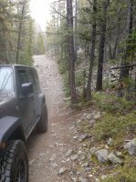
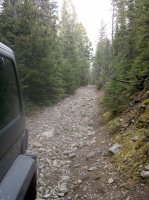
The road up to the Glenwood Lake trail (from the way back). It's a little worse than it looks.
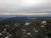
This is along the ridge line climbing up the top to descend the other side to the lake. It's looking south, and I think that the Tobacco Roots are on the right. It was a little hazy. I was walking on snow most of the way.
This view is north, and the peak just right of center (with a little snow on it) is Elkhorn Peak, at about 9,385'. It can be accessed by a tougher Jeep trail from the town of Elkhorn. Once at the top, it's a moderate bushwhack to Crow Peak. Navigation can be a little tricky.
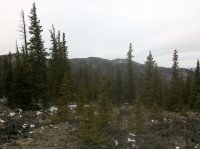
This shot looks north toward Helena.
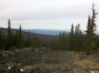
Looking down at the town of Elkhorn. There's still a bit of gold mining underway and planned. The town is 12 miles up a decent gravel road from the highway between Boulder and Cardwell.
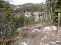
This is looking up toward Elkhorn. Elkhorn Peak is on the left, and my first car is on the corner.
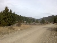
The road up to the Glenwood Lake trail (from the way back). It's a little worse than it looks.


This is along the ridge line climbing up the top to descend the other side to the lake. It's looking south, and I think that the Tobacco Roots are on the right. It was a little hazy. I was walking on snow most of the way.

This view is north, and the peak just right of center (with a little snow on it) is Elkhorn Peak, at about 9,385'. It can be accessed by a tougher Jeep trail from the town of Elkhorn. Once at the top, it's a moderate bushwhack to Crow Peak. Navigation can be a little tricky.

This shot looks north toward Helena.

Looking down at the town of Elkhorn. There's still a bit of gold mining underway and planned. The town is 12 miles up a decent gravel road from the highway between Boulder and Cardwell.

This is looking up toward Elkhorn. Elkhorn Peak is on the left, and my first car is on the corner.

