chandlerwest
Member
- Joined
- Feb 7, 2015
- Messages
- 550
I have to admit. I am obsessed and focused on hiking as many miles of trails in Glacier National Park as a day hiker can. With advancing age and limited opportunity I am feeling the pressure. Years ago I obtained from (Hike 734, @Jake Bramante) an Excel spreadsheet of all sections of the 734 miles of trail. I have spent hours manipulating it every which way. Then I discovered CalTopo where I can convert this information into multi colored glory.
To legitimize this obsession I have given it the title - THE PROJECT - A life force of its own.
As of 11/08/24 I am at 467.81 miles. Hell, I am even nerdy enough that I can assert that in my lifetime I have hiked 2,072 total miles (give or take) in Glacier NP. Yes, I probably need a life! Living 1,000 miles away is beginning to feel illogical, but I am too lazy to pack up after 20 years, sell my house, and move to a cold climate that I am sure I would regret for months of the year.
Before it became THE PROJECT I was aware of what I was passively doing in Glacier but in 2024 it became.....focused. Let's start with June. I was all by myself for June. School, work, and ailments kept my regular partners busy. So what would an obsessed person do who had no one else's concerns to worry about, do? Hike an ungodly 79.6 miles. Snagging 28.72 new miles of trails. At this point in The Project there is extra effort needed to reach new miles. To grab a couple 2 miles of new miles you may have to hike 16 miles. You need to hike trails that are no longer on public maps but still included in the 734. The glorious "Ghost Trails".
When I dropped the Excel Spreadsheets into CalTopo I learned that the access trails from East Glacier (Glacier Park Lodge) are included in the 734 miles. I assume this is because The lodge was the starting point of tourist visits back in the days of the railroad. For June I bought a Blackfeet Recreation Permit which is required when hiking across Reservation lands. Three hikes required approaches from the Reservation.
Enough introduction......let get going.
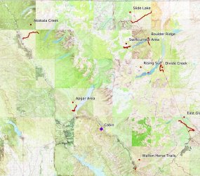
First an overview of my week in June
Day 1 was East Glacier to Scenic Point. I would be better to do this as a through hike but being alone I couldn't spot a car so I did it as an out and back.
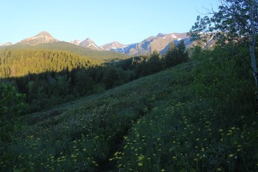
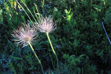
View to the south in the direction of the Bob Marshall Wilderness
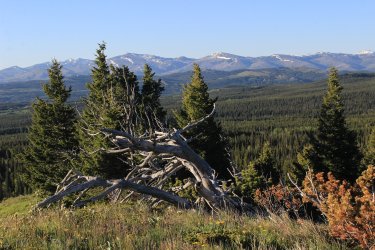
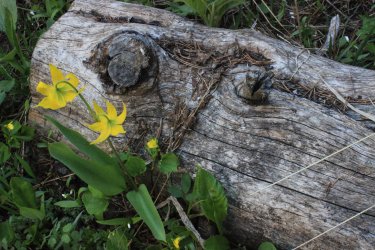
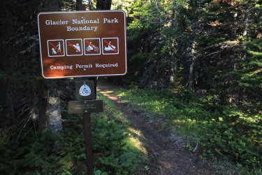
After 3.5 miles I entered Glacier National Park
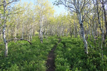
I am a sucker for stands of aspen.
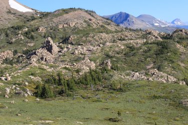
An exclamation has originated in 2024 "THIS IS WHY YOU HIKE EVERY MILE !!!!! " In my experience finding a rock landscape like this is atypical of Glacier. It is only seen if you Hike Every Mile
I was hoping not to run into snow that would stop me. I had micro spikes just in case. Being early June you can't be certain. But these eastern slopes are Ridiculously windswept so hopefully the path will be clear.
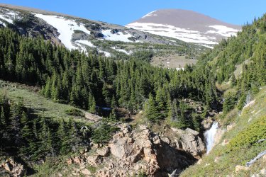
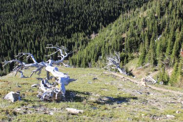
Looking across Lower Two Medicine Lake. A reservoir part in and out of the Park. For water uses on the Reservation.
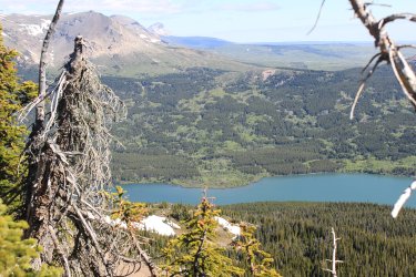
Don't you just love mountains "rising" out of the horizon?
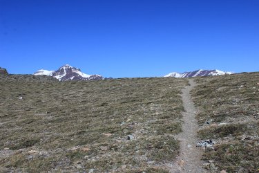
From Scenic Point. I have made it here many times from the west but never from the east
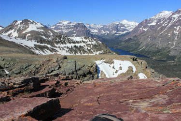
Upper Two Medicine Lake
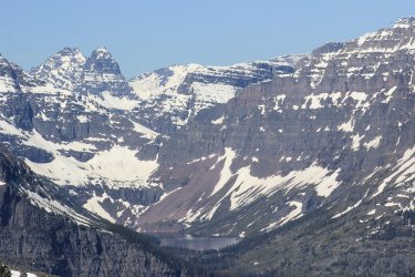
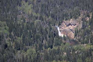
Running Eagle Falls (aka Trick Falls)
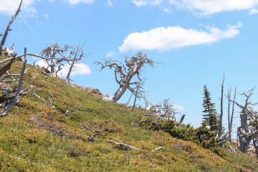
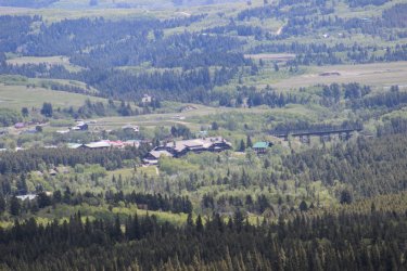
Glacier Park Lodge
Day 2 - Autumn Creek is a trail that parallels HWY 2. To snag the entire 18 mile route required four separate day hikes and complicated logistics. This 2 mile section from the Lodge to the Park boundary was the final piece of the puzzle. If any one is interest this segment and yesterdays hike to Scenic Point are part of the Continental Divide Trail.
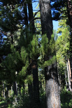
The trails across the Reservation are a mix of true trail, and various degrees of two track.
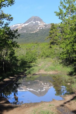
I take my reflection whenever I can
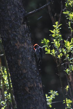
Woodpecker
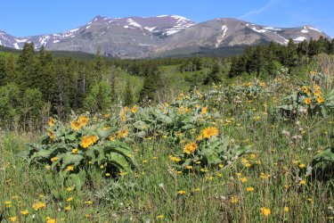
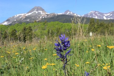
I had 1.5 miles of "horse trail" to capture near the Walton Ranger Station. I have started from that trailhead 4 times but never bothered with these segments of trail. But when you are filling in a map of 734 trails, you have these little pieces to get.
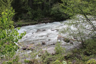
I was open to fording Ole Creek but I would say the flow was a bit intimidating. I made the executive decision that I can "claim" a horse ford trail if I do both approaches. That is more effort than simply fording across the stream....don't you think? You know? In and out, then in and out from the other side. Maybe some August I will run back here and ford the damn thing if I start to lose any sleep over it.
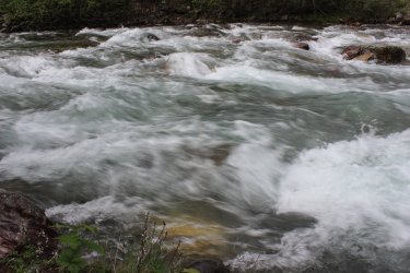
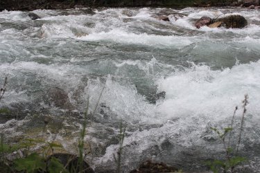
One my best lunch spot, ever
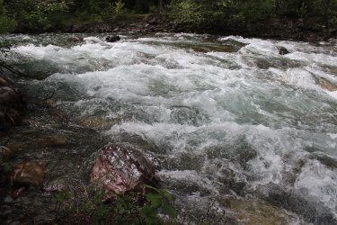
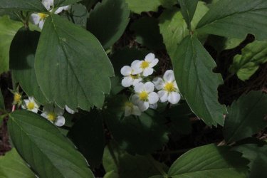
Day 3 - The North Fork is such a special region of the park as it is a major river valley and long approaches towards the mountains, with incredible lakes. Decades ago I looked at the trails in the North Fork and they look like a waste of time. 13-16 miles. Essentially walks in the woods. But that was way before THE PROJECT. Now......I LOVE those hikes. They make me feel special because.......they get very little use. The casual hiker should never go near them.
The Akokala Creek Trail starts off of the Inside the North Fork Road. It travels extensively through a 2003 fire zone. Plus there were two possibly significant fords in June. I was prepared, but a mile into the hike I realized that I left my tennis shoes in my car. That wasn't going to make those fords any easier. Ugh. Also I had applied some IcyHot on some aches and pains so, here I was in bear country smelling like a candy store. All I could do was fret and laugh. I needed to hike until I came to a trail junction that I was at in 2022.
Looking across the North Fork
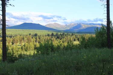
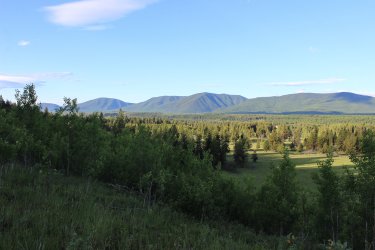
I was pleased to find a beautiful old growth forest in the initial mile. This is a view looking out to the fire zone that I was about to enter.
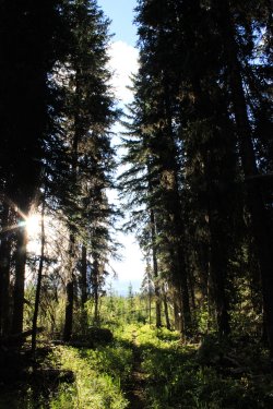
As far as I knew the entire trail would be like this. To most peoples eyes maybe it was, but to me I had a wonderful mix of environments throughout the day.
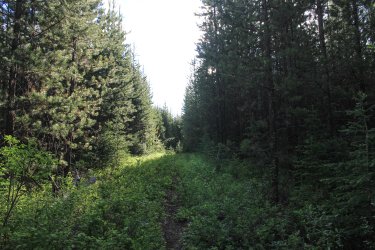
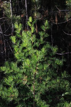
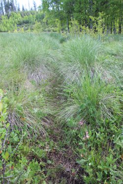
Hiking through these meadows on a lightly used trail was problematic. These meadows swallow up a ghost trail. At one point I had to drag out my map (yes I use paper maps) and ascertained. "I think I need to gain elevation.." Eventually I found the trail.
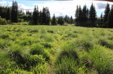
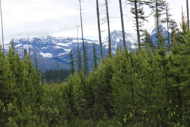
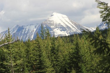
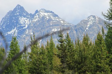
Mountains eventually come into view. See what I mean? I am hiking from the river bottoms and approaching the mountains. So frickin' cool.
The first ford was pleasant enough to do in bare feet.
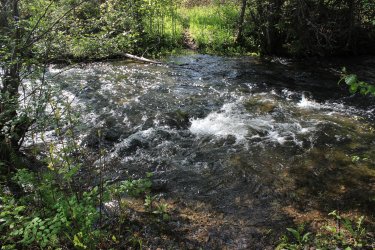
The 2nd ford made me gawp. It looked really deep and fast.
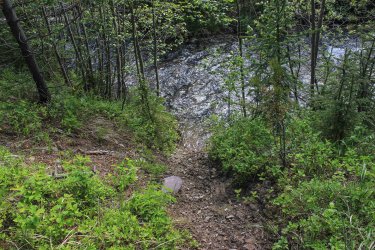
I pondered and looked downstream and declared. "Can I get to that?" I found a bridge. Got to use what you are given.
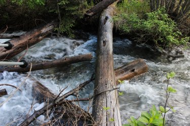
I ate my lunch staring at this incredible life
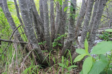
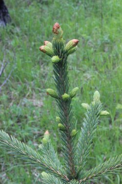
On the return trip the view toward the mountains opened up with better lighting
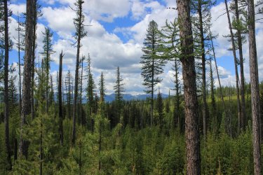
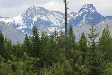
On the drive back to the cabin I had this view of Lake McDonald
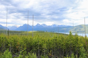
Day 4 - Slide Lake. There is a backcountry campsite at Slide Lake and I have always laughed at those poor souls. To access it you have to drop over a 1,000 feet in a mile. Camp along a lake (that I found out you cannot fish at). Only to have to reclimb that same 1,000 feet the next morning. Such an out of the way campsite. Not on the way to anything! But this is THE PROJECT. I approached it from the Blackfeet Reservation. Across 5.5 miles of reservation land. What made it worse was that those miles are Not a part of the 734 so those are just miles on my legs.......HA. I believe this is the area were the tribe released Bison in 2023.
I wonder how many times I have taken this photo as I drive by Two Medicine on my way to a hike. On day 1 I was on the ridge to the left.
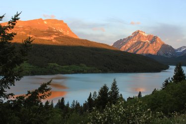
I had troubles being comfortable as to where I was suppose to park my car at the trailhead. So by the time I started walking I was emotionally scattered. At one point during the day I went "did I lock my car?" I cannot confirm or deny it I did or didn't. Adding to this, in the morning most of what I was seeing were unopened.....ugly....dandelions. I was unsettled, I tell you!
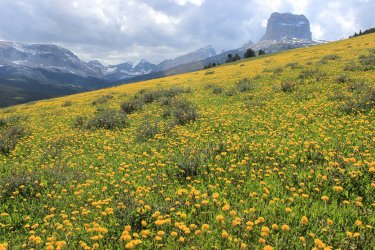
This day took me along and by Chief Mountain. You can see the frickin dandelions
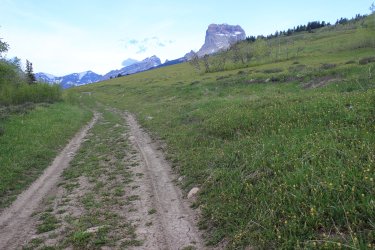
View to the south
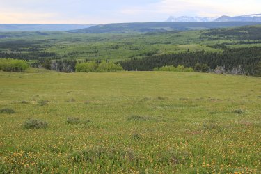
I am hiking up into to Otasco Creek drainage. Formerly known as the North Fork of Kennedy Creek, a hundred years ago.
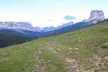
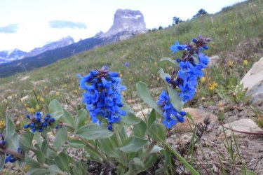
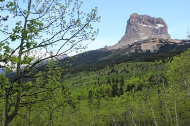
Working around Chief Mountain
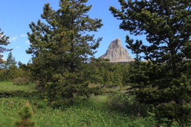
So happy to get to the Park Boundary. Just before, some animal sprinted across my view faster than lightning. Big elk or grizzly. I don't know!
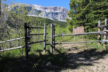
WIND - Good God Almighty
There are two lakes back here. I call them both Slide Lake
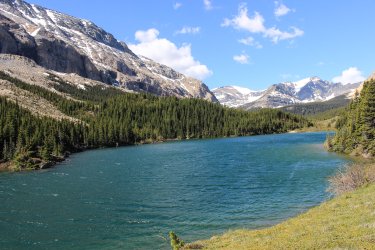
I didn't want to be driven away by the wind so I dove under a pine.
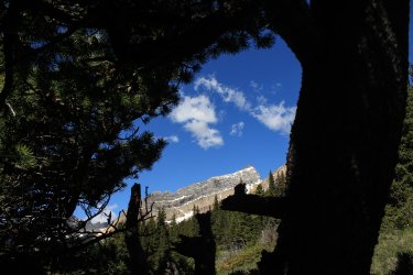
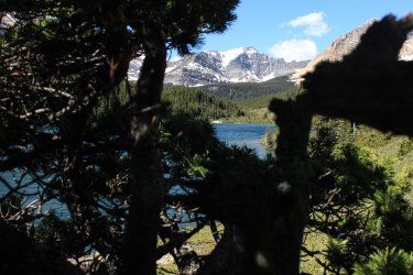
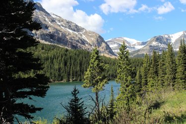
Learning about the formation of Slide Lake helped me commit to this adventure. In 1914 there was a massive rock slide off Yellow Mountain. Thus creating these lakes. This shot tries to capture this. I wanted to get closer but.......the Wind!
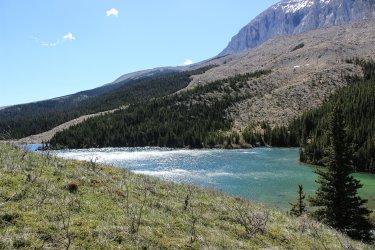
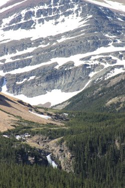
This is the true Slide Lake
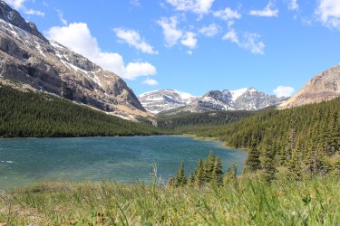
I hadn't fixed a turn around spot. Being June I knew that climbing up towards Gable Pass was out of the question. So was I going to get to the junction where the 1 mile trail started straight up to the pass and turnaround? I decided to start uphill and go as far as possible. The the sake of The Project!
Eventually I started running into snow. I would assess the surrounding area and consider where it appeared the trail went. Only once did I start across a drift unsure of where I was going to exit.
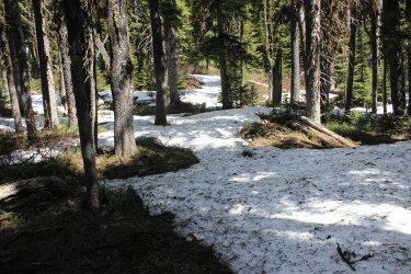
I met up with this bruin. I can confidently say that this fellow and I were the first creatures to come this way in 2024
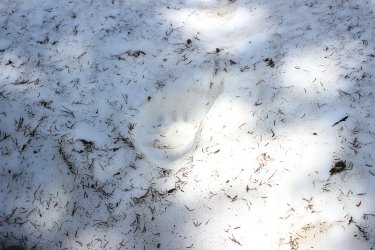
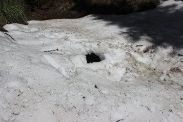
I cut a corner too sharp and fell into a hole. I somehow got out of this fairly quickly. I just reacted, not much thinking. There was water running running under me and a huge rock up to my chest.
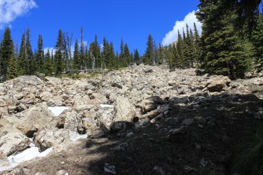
I knew from Hike 734 that there was a Pika boulder field somewhere. If only I could make it to that. When I reached it the trail was swallow up in snow and crossed this boulder field. No way was I going to blindly go across in these conditions. The next hole could be a broken leg. I found that the area to the right of the boulders was clear of snow so I drove uphill. Thinking I might still get across the boulders somehow.
That never happened but I reached.......Nirvana. I got up high enough that I could see up into the upper basin. I was so, so, beyond happy. If I had been able to continue on the trail I NEVER would have seen this because the trail dove into a pocket of forest and would have had NO view out most of the way to the pass. And the pass is at an angle that the upper basin is blocked out. I was lucky beyond measure.
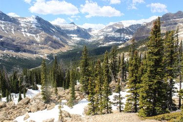
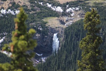
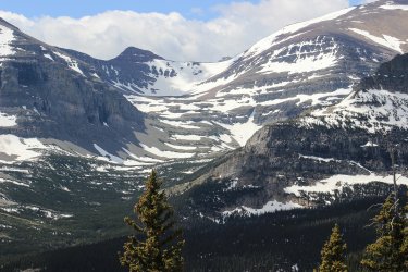
I thought I might back door my way to Gable Pass but, no. It seemed right there but there were More rocks and the day was already long.
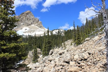
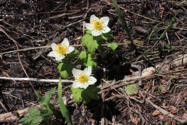
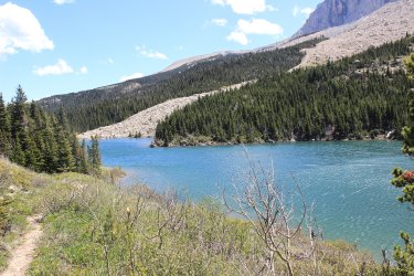
In the afternoon light Otasco Creek had incredible coloration
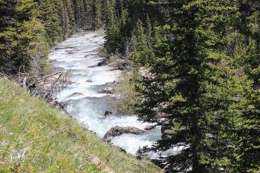
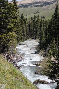
This hike went through some incredible country.
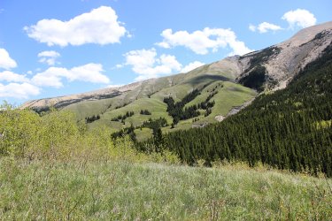
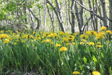
Remember the ugly dandelions? They opened up! One of my rants during the day was "what defenses does Glacier National Park have against these Reservation dandelions?!!!!
Jeff said that the wind is predominately from the west so that sort of helps.
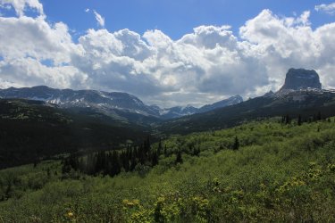
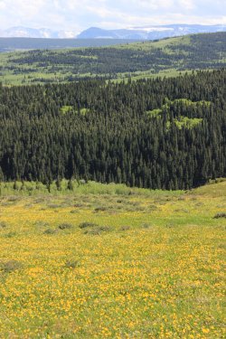
This was a 16.8 mile day which captured 2.4 miles of new trail. That is what The Project is all about.
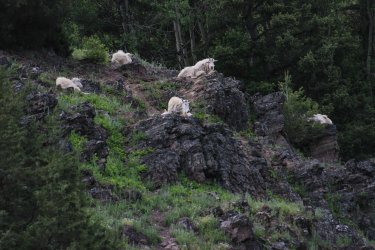
Driving pass Goat Lick along HWY 2 I saw this clan of Mountain Goats. There was another of equal size lower.
Day 5 - The day was spent in the 2006 fire zone. We have watched this forest recover. It is like checking in on relatives every year.
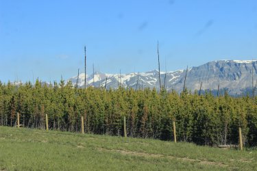
The Divide Creek Trail is not a trail the general public knows about. It was once the Blackfoot Highway. The road that took people from East Glacier to Many Glacier, a hundred years ago. The best confidence I had for this route was that on Google Earth you could "see" it. As a former road bed it kind of stands out. Being a fire zone I half expected it to be blow down after blow down. I wondered how easy it would be to find where it turned off of the main Red Eagle Trail. Turned out it was easy. Of course I lost it within 100 feet but the day still happened.
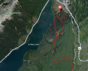
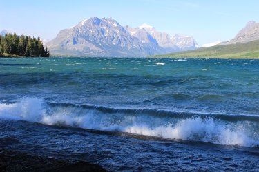
The wind was kicking up waves on St. Mary Lake. I blame that on me hiking over a mile on a trail that I found was "closed" for bear activity. I just didn't see the sign until I reached the end of that closure. Oops
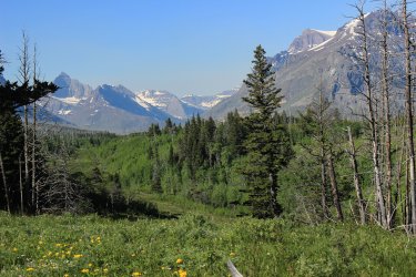
After struggling I reminded myself. "This is an old road bed." Those words gave context to my surrounding and.....there was the route.
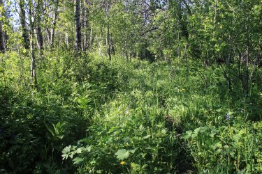
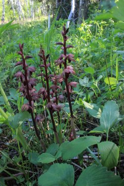
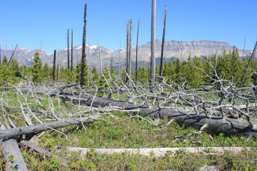
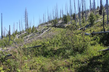
Yes there were a few blow downs to contend with but there were signs that a trail crew had been through sometime in the past decade and had a field day with their chainsaws. Thank you!
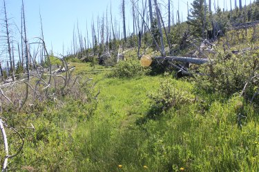
See......historical road cut
To the north. Lower St. Mary Lake
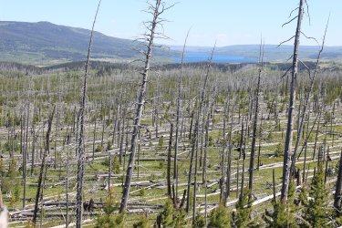
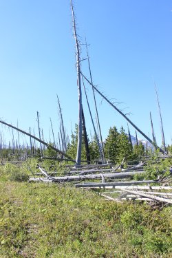
Divide Creek Drainage. Divide Creek is an eastern border of the park.
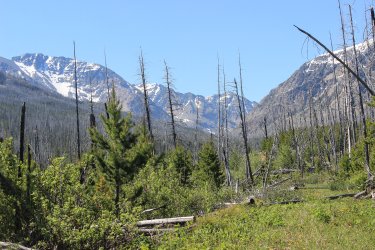
The "trail" drops down to the creek but the lower quarter mile(?) had washed away. You can see the Reservation road climbing up on the east side.
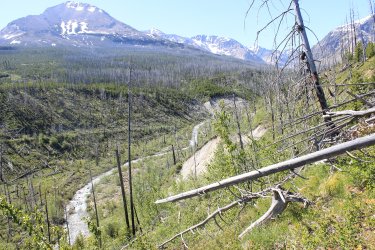
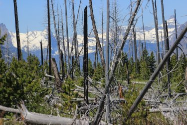
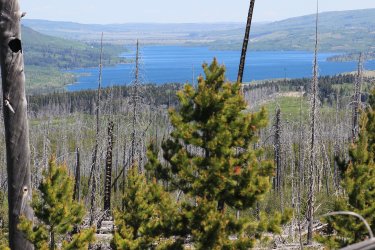
What a wonderful hike. "This is why you hike every mile."
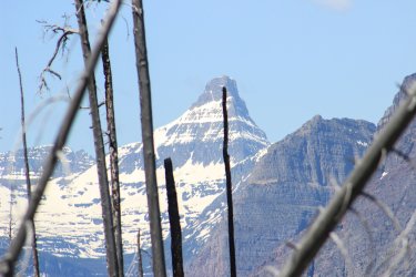
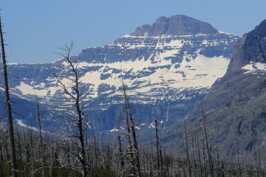
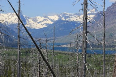
St Mary Lake
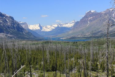
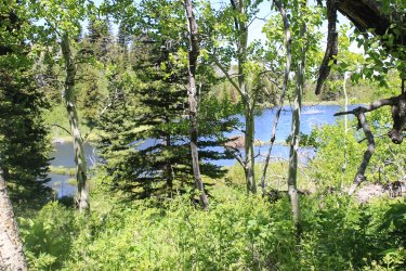
Beaver Pond
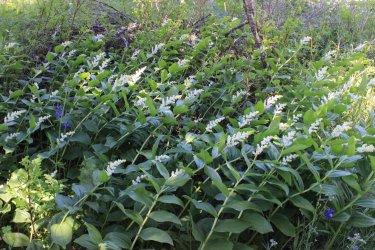
If you look at the previous map you can see a spur taking off to the right close to the trailhead. This is a half mile trail to the St. Mary Horse Pasture Corral. I had this trail in my Do Not Do list as the only beta I had was a Hike734 video of Jake whacking his way through head high brush. Knowing that I was in the area I kept an eye out for this "trail".
Can you see it? I had not look into this route because I had instantly wrote it off. But having found this "ghost of a trail junction" it grabbed me as possible. I got past that tall tree and lost any sign of anything so I gave up. Determined to dig deeper and try again. FYI - I was successful in Sept. 2024
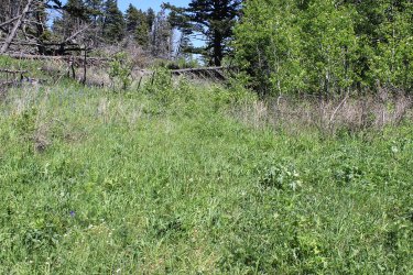
There was .4 miles of trail at the Rising Sun Picnic Area that I have never bothered to hike. So for The Project we snagged it!
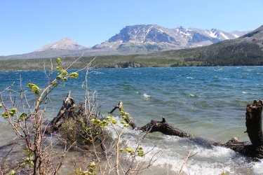
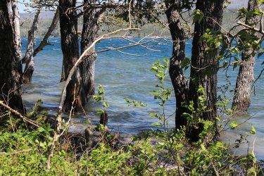
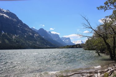
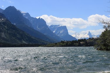
The Divide Creek Trail had gone up that ridge
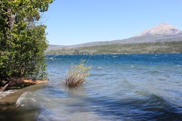
This has become one of Jeff and my favorite shots. In 2018 we had attempted to climb Otokomi Mtn. In 2015 there was a major fire but the aspen forest at the base of the mountain was standing and gorgeous. Winds came and blew ALL of those down. We call it the "Great Comb Over"
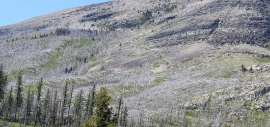
Jackson Glacier Overlook and Mt. Jackson
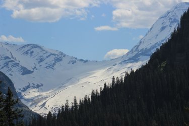
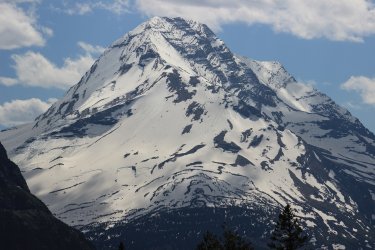
Virginia Falls
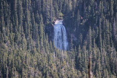
Day 6 - Off to capture miscellaneous miles in the Many Glacier area.
There is that blooming Two Medicine shot that I must have 50 of. The lighting ALWAYS seems different.
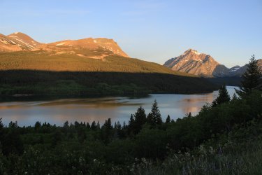
Lake Sherbourne. Reservoir that feeds the Milk River Project that waters southern Canada and eastern Montana. To bad it flooded out four.....yes four lakes.
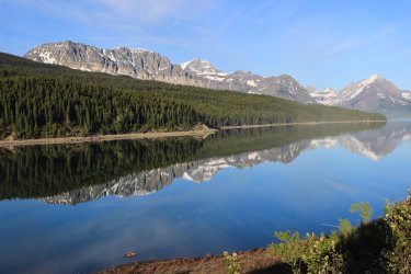
The one mile Boulder Ridge Trail. It is there but......it doesn't exist. I believe a trail once attempted to follow the entire eastern boundary of the Park. Trying to police the boundary against Reservation horses and cattle. The red is Hike 734's route. I attempted the left section of the loop but gave up.
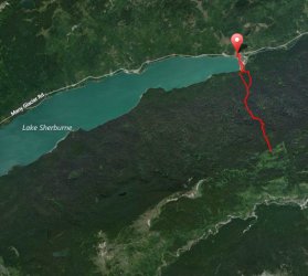
You approach by crossing in front of the dam. I felt like I was a prisoner who is caught by the spotlight. People driving by are seeing this figure going somewhere he shouldn't be. The Project!
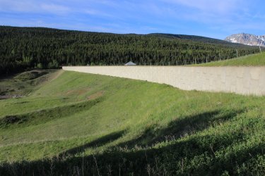
Hike 734 said to Not go the route to the right (after the dam) but go to the left. And yes there was a trail to the left. Which after a short ways turned due east and got increasingly fainter. Going east made no sense. "The trail goes straight up the ridge." I went back to the right option. I was on a "trail" but....
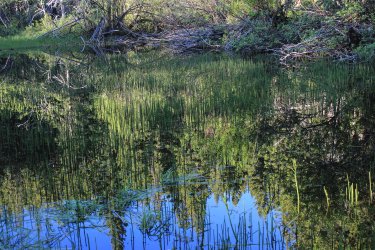
I spent an hour trying to make that option work. I got to spot where any spoke on the wheel looked just as good/bad as the others so I tried to find my way out.
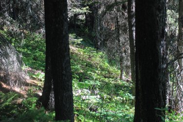
I headed back to the left Option A. I found something that lead uphill. After a short while I went. "This feels more like a drainage/narrow creek not a trail/route. So I gave up on that. I stepped over this location for the fourth time. I stared at it and stared at it. Then I started talking to it. "You look like you are trying to tell me something!" Not sure how long this conversation lasted.
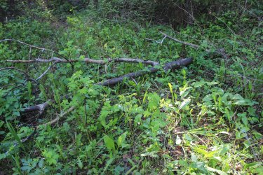
I scan the ground and see this
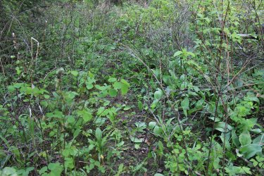
Head down. I follow. After a while I look up and exclaim. "This is a fuckin' corridor!!!!!!" I'm on the trail
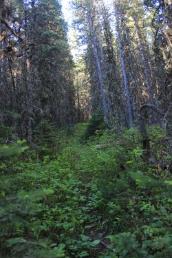
Entering the Park
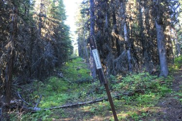
True to minute beta had the trail went straight up. Those old trailblazer didn't deal with no sticking switchbacks.
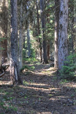
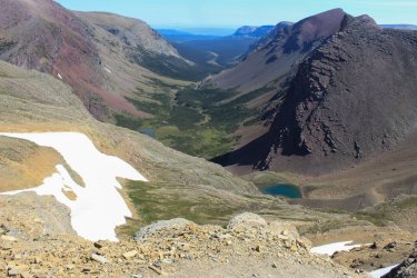
I knew that the trail just......ended. I hoped, beyond hope that it ended somewhere with a view up Boulder Creek Drainage. I have looked down into this drainage a few times from Siyeh Pass and always had a romantic feeling about it, as there is NO trail in it. Let's see if I can easily find a photo from Siyeh Pass. The Boulder Ridge Trail is around to the left....out of sight.
At the top(?) of the ridge I broke out of the mature forest into a mixed meadow aspen landscape. Any view was over and through. And yes the trail vanished. If only I had red ribbons to tie. I plunged on looking for a view. God help me find my way back. Holy shit....I am just Now seeing that that is Napi Point on the left. Napi Pt. is one of the cornerstones of the 1895 purchase of the eastern half of the Park from the Blackfeet Tribe. Cool!
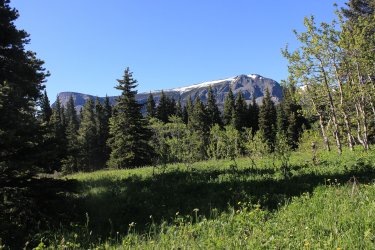
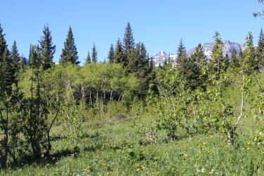
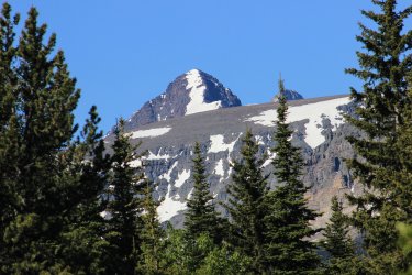
These shots are taken with my arms outstretched above my head through trees. I was determined to SEE something.
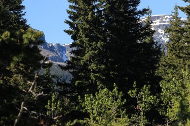
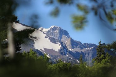
I made me way back to the mature forest. Not knowing where the trail was. Left.....Right. I walked to the east/right until it didn't feel correct. I made my way diagonally back to the west. When I met the trail I happily could have kneeled down and kissed it.
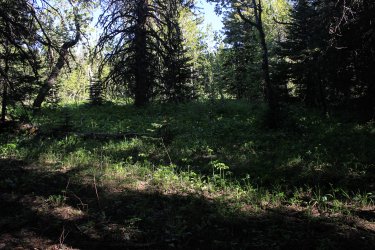
Many Glacier is a high traffic area. I have been there more times than I can count. But there are pieces of trails that I have not hiked so I grabbed them today.
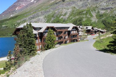
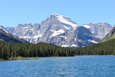
Mt. Gould - The trail along Swiftcurrent Lake provided fun opportunities through the trees.
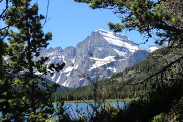
Swiftcurrent Pass and Mountain
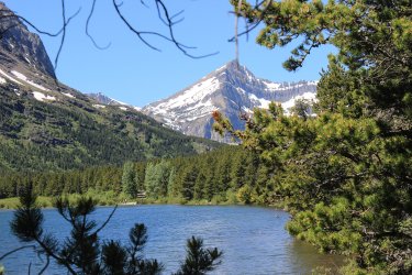
Grinnell Point
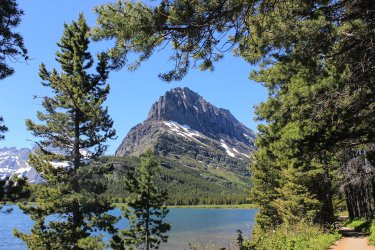
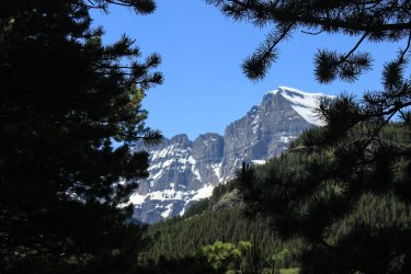
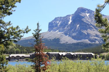
Many Glacier Hotel and Mt. Wynn
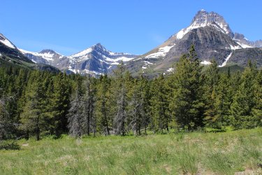
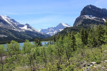
Mt. Wilbur on the right.
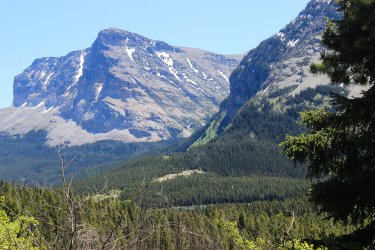
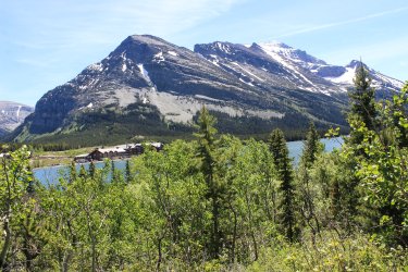
I had never taken the time to experience Swiftcurrent gorge.
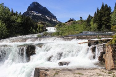
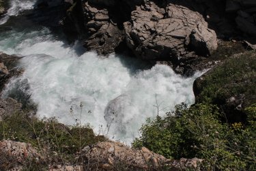
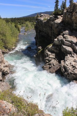
Along the Many Glacier Horse Stables Trail
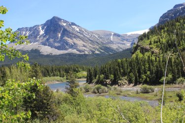
I will take what ever help presents itself
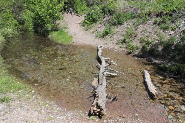
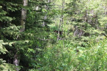
My first time ever un-holstering my bear spray. This mom and two cubs where quite chill.
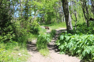
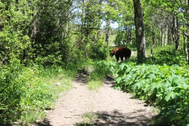
When I got the nerve to move pass I was spooked by how much closer she looked as I scuttled by. I said "I think I will walk the road back to the hotel."
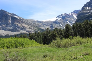
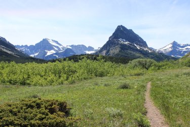
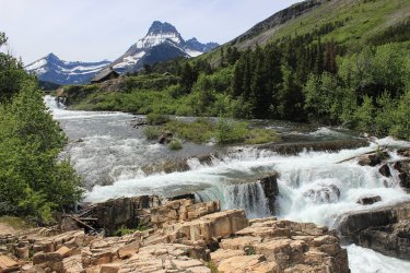
The other side of the gorge
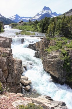
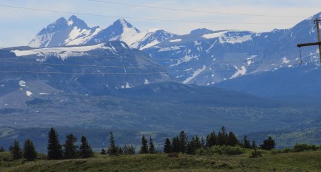
On my way back to the cabin I drove through the Reservation toward Browning. The mountains powerfully sprout out of the plains.
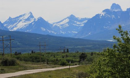
Chief Mountain on the right
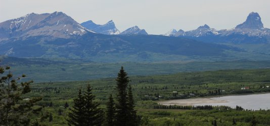
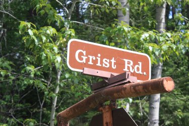
Day 7 - Before driving to Jeff's place in Missoula I snagged a few trails in the Apgar area. Grist Road is essentially a subdivision within the Park. The lower end of Lake McDonald was substantially private owned when the Park was formed in 1910. There are still active in-holdings. I had never ventured that way because it felt private. One house was for sale for $15 million. I wonder if it has sold yet.
The path probably dates back to 1900's
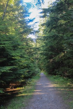
I hike up towards the Fish Creek Campground
There are five drives that go down to the lake. (I have a map.)
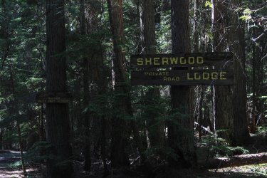
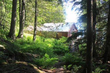
One of these did not have a gate or signs, so I followed it. I have since found out that the house was purchased by the Parks Service and they were looking for someone to sign a lease and fix the place up.
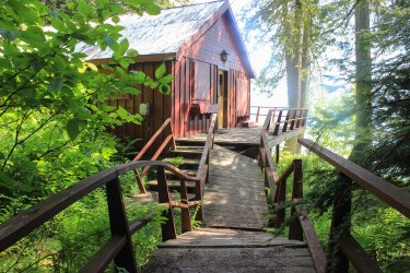
View from the deck
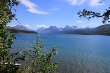
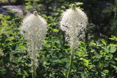
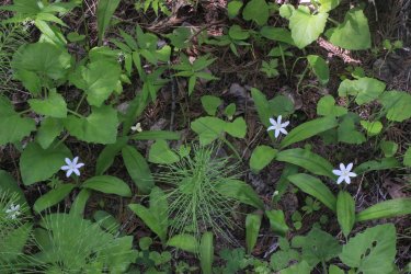
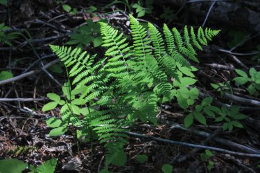
From there I hiked the Apgar Hills Horse Trail. So nice to see Beargrass
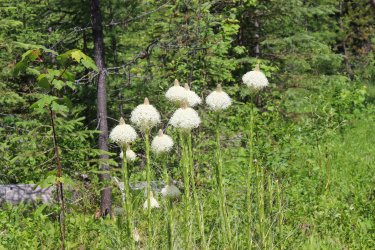
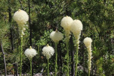
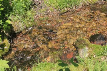
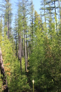
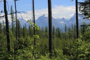
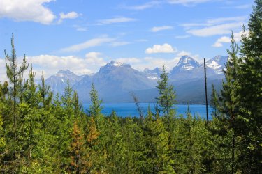
Just notice the variety of trees in this shot
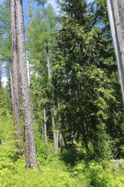
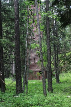
There is a .25 mile bike trail that goes from the West Glacier Entrance sign over to the Parks Headquarters. This is the Hose Tower completed in 1933 and is used to dry and hang fire hoses.
Thanks for making it to the end. I still have to quadruple check that this week added up to 80 miles. It was the strongest and best week that I could have dreamt up.
To legitimize this obsession I have given it the title - THE PROJECT - A life force of its own.
As of 11/08/24 I am at 467.81 miles. Hell, I am even nerdy enough that I can assert that in my lifetime I have hiked 2,072 total miles (give or take) in Glacier NP. Yes, I probably need a life! Living 1,000 miles away is beginning to feel illogical, but I am too lazy to pack up after 20 years, sell my house, and move to a cold climate that I am sure I would regret for months of the year.
Before it became THE PROJECT I was aware of what I was passively doing in Glacier but in 2024 it became.....focused. Let's start with June. I was all by myself for June. School, work, and ailments kept my regular partners busy. So what would an obsessed person do who had no one else's concerns to worry about, do? Hike an ungodly 79.6 miles. Snagging 28.72 new miles of trails. At this point in The Project there is extra effort needed to reach new miles. To grab a couple 2 miles of new miles you may have to hike 16 miles. You need to hike trails that are no longer on public maps but still included in the 734. The glorious "Ghost Trails".
When I dropped the Excel Spreadsheets into CalTopo I learned that the access trails from East Glacier (Glacier Park Lodge) are included in the 734 miles. I assume this is because The lodge was the starting point of tourist visits back in the days of the railroad. For June I bought a Blackfeet Recreation Permit which is required when hiking across Reservation lands. Three hikes required approaches from the Reservation.
Enough introduction......let get going.
First an overview of my week in June

Day 1 was East Glacier to Scenic Point. I would be better to do this as a through hike but being alone I couldn't spot a car so I did it as an out and back.

View to the south in the direction of the Bob Marshall Wilderness


After 3.5 miles I entered Glacier National Park

I am a sucker for stands of aspen.

An exclamation has originated in 2024 "THIS IS WHY YOU HIKE EVERY MILE !!!!! " In my experience finding a rock landscape like this is atypical of Glacier. It is only seen if you Hike Every Mile

I was hoping not to run into snow that would stop me. I had micro spikes just in case. Being early June you can't be certain. But these eastern slopes are Ridiculously windswept so hopefully the path will be clear.


Looking across Lower Two Medicine Lake. A reservoir part in and out of the Park. For water uses on the Reservation.

Don't you just love mountains "rising" out of the horizon?

From Scenic Point. I have made it here many times from the west but never from the east

Upper Two Medicine Lake

Running Eagle Falls (aka Trick Falls)


Glacier Park Lodge


Day 2 - Autumn Creek is a trail that parallels HWY 2. To snag the entire 18 mile route required four separate day hikes and complicated logistics. This 2 mile section from the Lodge to the Park boundary was the final piece of the puzzle. If any one is interest this segment and yesterdays hike to Scenic Point are part of the Continental Divide Trail.
The trails across the Reservation are a mix of true trail, and various degrees of two track.

I take my reflection whenever I can


Woodpecker


I had 1.5 miles of "horse trail" to capture near the Walton Ranger Station. I have started from that trailhead 4 times but never bothered with these segments of trail. But when you are filling in a map of 734 trails, you have these little pieces to get.

I was open to fording Ole Creek but I would say the flow was a bit intimidating. I made the executive decision that I can "claim" a horse ford trail if I do both approaches. That is more effort than simply fording across the stream....don't you think? You know? In and out, then in and out from the other side. Maybe some August I will run back here and ford the damn thing if I start to lose any sleep over it.


One my best lunch spot, ever


Day 3 - The North Fork is such a special region of the park as it is a major river valley and long approaches towards the mountains, with incredible lakes. Decades ago I looked at the trails in the North Fork and they look like a waste of time. 13-16 miles. Essentially walks in the woods. But that was way before THE PROJECT. Now......I LOVE those hikes. They make me feel special because.......they get very little use. The casual hiker should never go near them.
The Akokala Creek Trail starts off of the Inside the North Fork Road. It travels extensively through a 2003 fire zone. Plus there were two possibly significant fords in June. I was prepared, but a mile into the hike I realized that I left my tennis shoes in my car. That wasn't going to make those fords any easier. Ugh. Also I had applied some IcyHot on some aches and pains so, here I was in bear country smelling like a candy store. All I could do was fret and laugh. I needed to hike until I came to a trail junction that I was at in 2022.
Looking across the North Fork


I was pleased to find a beautiful old growth forest in the initial mile. This is a view looking out to the fire zone that I was about to enter.

As far as I knew the entire trail would be like this. To most peoples eyes maybe it was, but to me I had a wonderful mix of environments throughout the day.


Hiking through these meadows on a lightly used trail was problematic. These meadows swallow up a ghost trail. At one point I had to drag out my map (yes I use paper maps) and ascertained. "I think I need to gain elevation.." Eventually I found the trail.


Mountains eventually come into view. See what I mean? I am hiking from the river bottoms and approaching the mountains. So frickin' cool.

The first ford was pleasant enough to do in bare feet.

The 2nd ford made me gawp. It looked really deep and fast.

I pondered and looked downstream and declared. "Can I get to that?" I found a bridge. Got to use what you are given.

I ate my lunch staring at this incredible life


On the return trip the view toward the mountains opened up with better lighting


On the drive back to the cabin I had this view of Lake McDonald

Day 4 - Slide Lake. There is a backcountry campsite at Slide Lake and I have always laughed at those poor souls. To access it you have to drop over a 1,000 feet in a mile. Camp along a lake (that I found out you cannot fish at). Only to have to reclimb that same 1,000 feet the next morning. Such an out of the way campsite. Not on the way to anything! But this is THE PROJECT. I approached it from the Blackfeet Reservation. Across 5.5 miles of reservation land. What made it worse was that those miles are Not a part of the 734 so those are just miles on my legs.......HA. I believe this is the area were the tribe released Bison in 2023.
I wonder how many times I have taken this photo as I drive by Two Medicine on my way to a hike. On day 1 I was on the ridge to the left.

I had troubles being comfortable as to where I was suppose to park my car at the trailhead. So by the time I started walking I was emotionally scattered. At one point during the day I went "did I lock my car?" I cannot confirm or deny it I did or didn't. Adding to this, in the morning most of what I was seeing were unopened.....ugly....dandelions. I was unsettled, I tell you!
This day took me along and by Chief Mountain. You can see the frickin dandelions

View to the south

I am hiking up into to Otasco Creek drainage. Formerly known as the North Fork of Kennedy Creek, a hundred years ago.


Working around Chief Mountain

So happy to get to the Park Boundary. Just before, some animal sprinted across my view faster than lightning. Big elk or grizzly. I don't know!

WIND - Good God Almighty
There are two lakes back here. I call them both Slide Lake

I didn't want to be driven away by the wind so I dove under a pine.


Learning about the formation of Slide Lake helped me commit to this adventure. In 1914 there was a massive rock slide off Yellow Mountain. Thus creating these lakes. This shot tries to capture this. I wanted to get closer but.......the Wind!


This is the true Slide Lake

I hadn't fixed a turn around spot. Being June I knew that climbing up towards Gable Pass was out of the question. So was I going to get to the junction where the 1 mile trail started straight up to the pass and turnaround? I decided to start uphill and go as far as possible. The the sake of The Project!
Eventually I started running into snow. I would assess the surrounding area and consider where it appeared the trail went. Only once did I start across a drift unsure of where I was going to exit.

I met up with this bruin. I can confidently say that this fellow and I were the first creatures to come this way in 2024

I cut a corner too sharp and fell into a hole. I somehow got out of this fairly quickly. I just reacted, not much thinking. There was water running running under me and a huge rock up to my chest.

I knew from Hike 734 that there was a Pika boulder field somewhere. If only I could make it to that. When I reached it the trail was swallow up in snow and crossed this boulder field. No way was I going to blindly go across in these conditions. The next hole could be a broken leg. I found that the area to the right of the boulders was clear of snow so I drove uphill. Thinking I might still get across the boulders somehow.

That never happened but I reached.......Nirvana. I got up high enough that I could see up into the upper basin. I was so, so, beyond happy. If I had been able to continue on the trail I NEVER would have seen this because the trail dove into a pocket of forest and would have had NO view out most of the way to the pass. And the pass is at an angle that the upper basin is blocked out. I was lucky beyond measure.


I thought I might back door my way to Gable Pass but, no. It seemed right there but there were More rocks and the day was already long.


In the afternoon light Otasco Creek had incredible coloration


This hike went through some incredible country.

Remember the ugly dandelions? They opened up! One of my rants during the day was "what defenses does Glacier National Park have against these Reservation dandelions?!!!!
Jeff said that the wind is predominately from the west so that sort of helps.


This was a 16.8 mile day which captured 2.4 miles of new trail. That is what The Project is all about.

Driving pass Goat Lick along HWY 2 I saw this clan of Mountain Goats. There was another of equal size lower.

Day 5 - The day was spent in the 2006 fire zone. We have watched this forest recover. It is like checking in on relatives every year.

The Divide Creek Trail is not a trail the general public knows about. It was once the Blackfoot Highway. The road that took people from East Glacier to Many Glacier, a hundred years ago. The best confidence I had for this route was that on Google Earth you could "see" it. As a former road bed it kind of stands out. Being a fire zone I half expected it to be blow down after blow down. I wondered how easy it would be to find where it turned off of the main Red Eagle Trail. Turned out it was easy. Of course I lost it within 100 feet but the day still happened.

The wind was kicking up waves on St. Mary Lake. I blame that on me hiking over a mile on a trail that I found was "closed" for bear activity. I just didn't see the sign until I reached the end of that closure. Oops


After struggling I reminded myself. "This is an old road bed." Those words gave context to my surrounding and.....there was the route.


Yes there were a few blow downs to contend with but there were signs that a trail crew had been through sometime in the past decade and had a field day with their chainsaws. Thank you!

See......historical road cut

To the north. Lower St. Mary Lake


Divide Creek Drainage. Divide Creek is an eastern border of the park.

The "trail" drops down to the creek but the lower quarter mile(?) had washed away. You can see the Reservation road climbing up on the east side.


What a wonderful hike. "This is why you hike every mile."


St Mary Lake

Beaver Pond


If you look at the previous map you can see a spur taking off to the right close to the trailhead. This is a half mile trail to the St. Mary Horse Pasture Corral. I had this trail in my Do Not Do list as the only beta I had was a Hike734 video of Jake whacking his way through head high brush. Knowing that I was in the area I kept an eye out for this "trail".
Can you see it? I had not look into this route because I had instantly wrote it off. But having found this "ghost of a trail junction" it grabbed me as possible. I got past that tall tree and lost any sign of anything so I gave up. Determined to dig deeper and try again. FYI - I was successful in Sept. 2024

There was .4 miles of trail at the Rising Sun Picnic Area that I have never bothered to hike. So for The Project we snagged it!


The Divide Creek Trail had gone up that ridge

This has become one of Jeff and my favorite shots. In 2018 we had attempted to climb Otokomi Mtn. In 2015 there was a major fire but the aspen forest at the base of the mountain was standing and gorgeous. Winds came and blew ALL of those down. We call it the "Great Comb Over"

Jackson Glacier Overlook and Mt. Jackson


Virginia Falls

Day 6 - Off to capture miscellaneous miles in the Many Glacier area.
There is that blooming Two Medicine shot that I must have 50 of. The lighting ALWAYS seems different.

Lake Sherbourne. Reservoir that feeds the Milk River Project that waters southern Canada and eastern Montana. To bad it flooded out four.....yes four lakes.

The one mile Boulder Ridge Trail. It is there but......it doesn't exist. I believe a trail once attempted to follow the entire eastern boundary of the Park. Trying to police the boundary against Reservation horses and cattle. The red is Hike 734's route. I attempted the left section of the loop but gave up.

You approach by crossing in front of the dam. I felt like I was a prisoner who is caught by the spotlight. People driving by are seeing this figure going somewhere he shouldn't be. The Project!

Hike 734 said to Not go the route to the right (after the dam) but go to the left. And yes there was a trail to the left. Which after a short ways turned due east and got increasingly fainter. Going east made no sense. "The trail goes straight up the ridge." I went back to the right option. I was on a "trail" but....

I spent an hour trying to make that option work. I got to spot where any spoke on the wheel looked just as good/bad as the others so I tried to find my way out.

I headed back to the left Option A. I found something that lead uphill. After a short while I went. "This feels more like a drainage/narrow creek not a trail/route. So I gave up on that. I stepped over this location for the fourth time. I stared at it and stared at it. Then I started talking to it. "You look like you are trying to tell me something!" Not sure how long this conversation lasted.

I scan the ground and see this

Head down. I follow. After a while I look up and exclaim. "This is a fuckin' corridor!!!!!!" I'm on the trail

Entering the Park

True to minute beta had the trail went straight up. Those old trailblazer didn't deal with no sticking switchbacks.

I knew that the trail just......ended. I hoped, beyond hope that it ended somewhere with a view up Boulder Creek Drainage. I have looked down into this drainage a few times from Siyeh Pass and always had a romantic feeling about it, as there is NO trail in it. Let's see if I can easily find a photo from Siyeh Pass. The Boulder Ridge Trail is around to the left....out of sight.

At the top(?) of the ridge I broke out of the mature forest into a mixed meadow aspen landscape. Any view was over and through. And yes the trail vanished. If only I had red ribbons to tie. I plunged on looking for a view. God help me find my way back. Holy shit....I am just Now seeing that that is Napi Point on the left. Napi Pt. is one of the cornerstones of the 1895 purchase of the eastern half of the Park from the Blackfeet Tribe. Cool!


These shots are taken with my arms outstretched above my head through trees. I was determined to SEE something.


I made me way back to the mature forest. Not knowing where the trail was. Left.....Right. I walked to the east/right until it didn't feel correct. I made my way diagonally back to the west. When I met the trail I happily could have kneeled down and kissed it.

Many Glacier is a high traffic area. I have been there more times than I can count. But there are pieces of trails that I have not hiked so I grabbed them today.


Mt. Gould - The trail along Swiftcurrent Lake provided fun opportunities through the trees.

Swiftcurrent Pass and Mountain

Grinnell Point


Many Glacier Hotel and Mt. Wynn

Mt. Wilbur on the right.


I had never taken the time to experience Swiftcurrent gorge.


Along the Many Glacier Horse Stables Trail

I will take what ever help presents itself

My first time ever un-holstering my bear spray. This mom and two cubs where quite chill.


When I got the nerve to move pass I was spooked by how much closer she looked as I scuttled by. I said "I think I will walk the road back to the hotel."


The other side of the gorge


On my way back to the cabin I drove through the Reservation toward Browning. The mountains powerfully sprout out of the plains.


Chief Mountain on the right

Day 7 - Before driving to Jeff's place in Missoula I snagged a few trails in the Apgar area. Grist Road is essentially a subdivision within the Park. The lower end of Lake McDonald was substantially private owned when the Park was formed in 1910. There are still active in-holdings. I had never ventured that way because it felt private. One house was for sale for $15 million. I wonder if it has sold yet.

The path probably dates back to 1900's

I hike up towards the Fish Creek Campground


There are five drives that go down to the lake. (I have a map.)

One of these did not have a gate or signs, so I followed it. I have since found out that the house was purchased by the Parks Service and they were looking for someone to sign a lease and fix the place up.

View from the deck


From there I hiked the Apgar Hills Horse Trail. So nice to see Beargrass


Just notice the variety of trees in this shot


There is a .25 mile bike trail that goes from the West Glacier Entrance sign over to the Parks Headquarters. This is the Hose Tower completed in 1933 and is used to dry and hang fire hoses.

Thanks for making it to the end. I still have to quadruple check that this week added up to 80 miles. It was the strongest and best week that I could have dreamt up.
Last edited:
