chandlerwest
Member
- Joined
- Feb 7, 2015
- Messages
- 550
With Jeff and Kurt the whole gang was with me in August. There was a low snowpack this winter so I was hopeful that I could get across the Middle Fork of the Flathead River. Ever the nerd I was keeping track of the daily snow melt and runoff into the river. The river level was a bit higher than previous two times we forded it but I was hopeful.
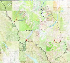
Note the blue line on the map. This was a 20 mile through hike from Swiftcurrent to the Canadian border. I can't express how excited I was to tackle this. But alas....for the entire week bears had the lower end closed. The scuttlebutt was that it was a prime huckleberry crop and there were too many bears enjoying the feast. Every day we would check the website hoping the trail would open. We wanted to do the hike this year because, due to infrastructure construction, access to the trails would be a couple miles longer in 2025. Oh well, hopefully we will feel up for it in 2026
I have hiked the 18 mile Dawson-Pitamakan Loop twice. Kurt has never done what I feel is the best day hike in Glacier. He had to work when we did it in 1985. I have owed him this hike, so it was time to pay off that debt.
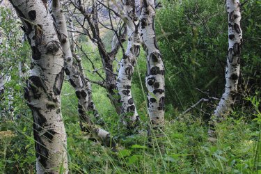
Hiking up the Dry Fork drainage. A funny thing happened this morning. For the first time in years Kurt was leading the way so I was able to quantify just how much trail space/time it took me to stop and take a photo while he continued. With all the pictures I take that adds up to easily an hour a day and a couple miles.
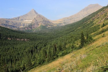
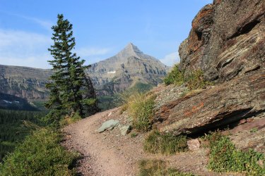
We were a third of the way in. The easiest 3nd at that. Kurt looked at me and questioned if he should continue. I said "lets get to the lake and talk about it."
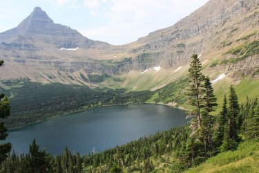
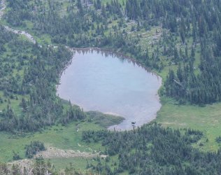
Oldman Lake
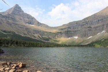
I tried to be as honest as I could be about what lied ahead. All the elevation. All the miles. All the wind. How nasty it was once we started dropping downhill. All the beauty.
He stuck with it !! Later in the day we will be on that ridge yonder.
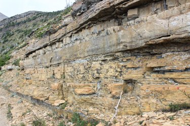
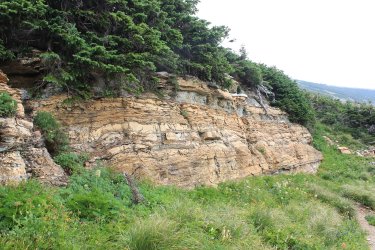
Plenty of rock layers
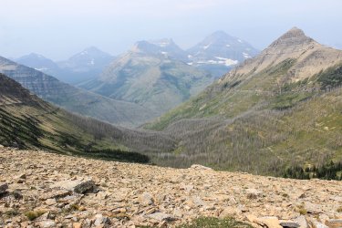
At Pitamakan Pass looking down into the Cut Bank area. I still have that section of trail to do. It is at the top of our 2025 plans.
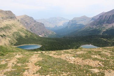
Kurt saw a trail sign for Cut Bank Pass .5 miles. I mentioned to him that I had never been over to the pass as it didn't provide a view any different than what laid ahead for us. There was a mile of trail at Oldman Lake that I was unable to hike because the park service had "revegetated" it. So I was a bit bummed by that. Kurt talked me into going over to Cut Bank Pass. I didn't care to add to already grueling Loop hike but I let him talk me into it. "Only if you don't follow me!" So, I snagged that .5 mile plus confirmed that any additional trail beyond the pass was not necessary for me to attempt as it was all downhill (with the require uphill back to the pass) and there was no new views to get.
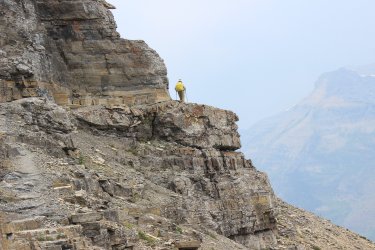
Epic Kurt
Oldman Lake
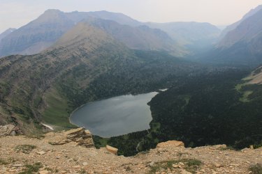
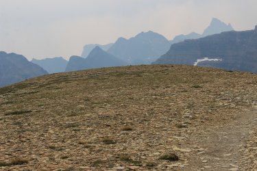
Moose, thousand feet below
Since we couldn't do our 20 mile through hike I felt like we started winging our week. Jeff had arrived and I pushed for fording the river but neither of them seemed to want to try that. Kurt asked what I had to do in Many Glacier. I have a couple middle distance hikes to do so we headed that way.
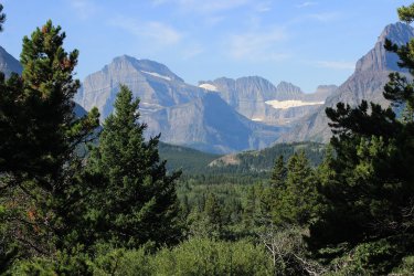
In 2016 Jeff and I had gotten up into there. Snow Moon Basin. Made it to the high ridge, left of center. There is a trip report on BCP
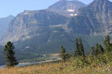
This was 3+ mile hike up Swiftcurrent Ridge. Connecting with a hike I had done in 1987
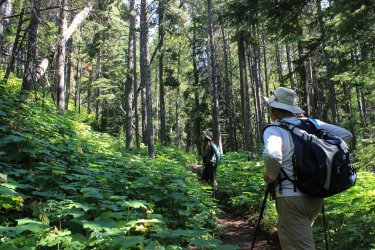
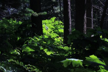
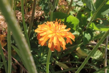
Looking across to Boulder Ridge where I had been in June. Napi Point on the left. One of border markers of the 1895 land purchase of the east side of Glacier from the Blackfeet.
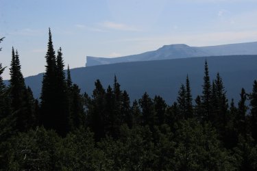
Mt. Siyeh 10,014 and Snow Moon Basin
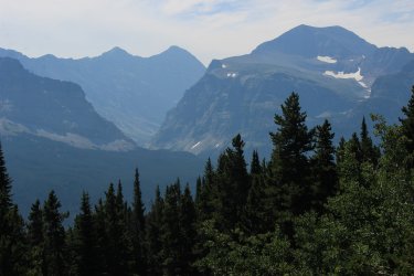
Kurt had never been to Appekuny Falls. We made sure he was aware that though it is only a mile, it is Steep!
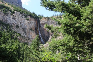
Oh, the air quality in August. It is becoming the norm.
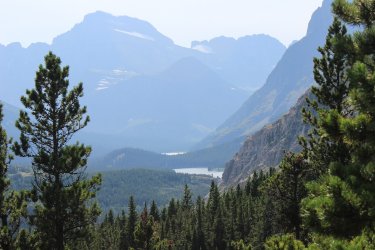
The next day felt like another filler day.........instead of fording the damn river. There was a .3 mile trail near the McDonald Lodge called the Sperry Loading Ramp Trail. Even though I spent the entire summer at the lodge in 1985 I couldn't remember knowing that this trail existed. So I was determined to find it and capture it. Turns out it is where people can offload their horses and meet up with the main trail system. Short but sweet section of trail.
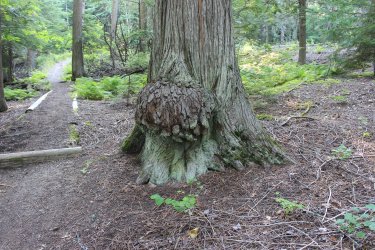
Jeff and I, on independent trips, had scrambled up into Lunch Creek Basin. We felt it was a place we needed to get Kurt to.
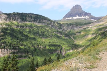
Our start up Lunch Creek. As we drove by the small/full parking lot all 3 of us miraculously saw the bottom half of a marmot who was investigating the inside of a cars back bumper. Kurt exclaimed "so help me if the only time I see a marmot in five years is that marmot!!!!!!" Jeff and I smiled at each other as we felt we had this covered on this hike.
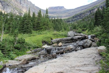
We get above this waterfall by going to the right.
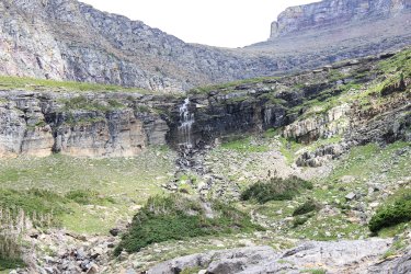
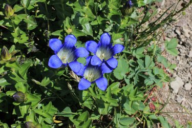
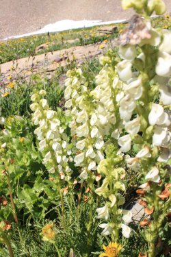
Kurt's "The Hills are Alive with the Sound of Music" moment
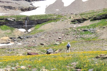
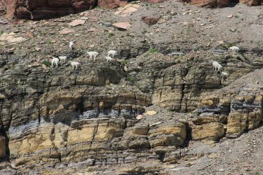
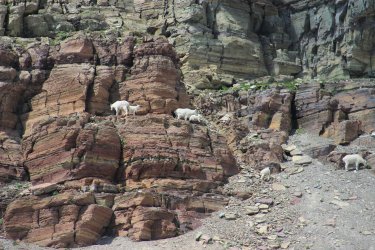
Kurt is a big game hunter and Jeff and I felt with absolute certainty we would see some up here.
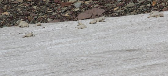
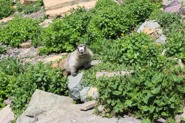
There were plenty of marmots. This guy respectfully, persistently checked us out. His behavior felt like he was telling us "you're sitting on My rock!"
We are less than a mile from the Busy road and we may as well have been dozens of miles in the backcountry. I assume that few people attempt to get above the initial waterfall.
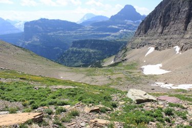
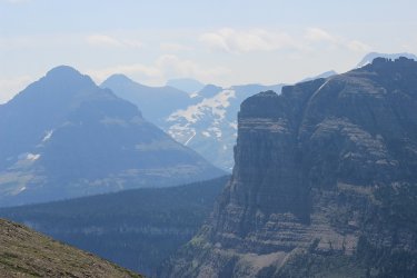
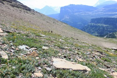
Lower Lunch Creek has been discovered by the masses. Waterfalls and wildflowers galore.
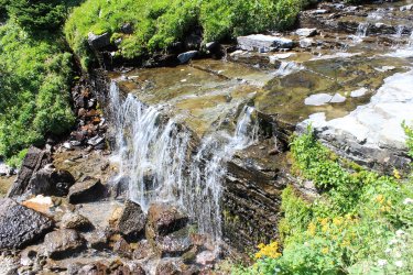
In the morning as we drove around The Loop on the Going To The Sun Road an idea hit me. I mentioned to Kurt that I had something for him to think on for a few hours. "When we come back to The Loop can I jump out of the truck and hike 3 miles down to Packer's Roost where you can pick me up?" Having never been to Packer's Roost he was anxious but Jeff and I assured him that he could do it. There was a .9 section of trail that I have struggled with fitting in with any other hike. I OWE Kurt a lot for his logistical help with The Project.
Jeff and I jumped out at the Loop and off we went. The .9 section of trail is predominately a packers trail getting supplies up to Granite Park Chalet. There is little reason for a hiker to take it. Because of this Jeff and I Gorged ourselves on huckleberries and thimbleberries.
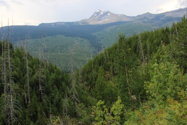
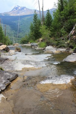
When we reached this stream crossing in unison we exclaimed "THIS IS WHY YOU HIKE ALL THE TRAILS" We were gobsmacked. Completely unexpected. Gorge-like with pools and waterfalls.
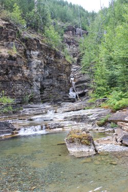
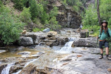
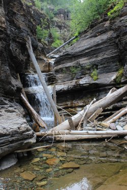
I pray that someday I will come back here and spend some time sitting in these pools with this incredible view of Heaven's Peak.
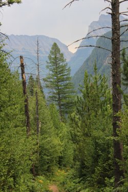
Having no takers for fording the river I was getting a bit lost, chagrinned, frustrated, dag-nab-itted. I told them "I'm going to Apgar Flats" and left them to their owe devises. Kurt went fishing and Jeff sat along the river for a couple hours.
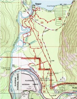
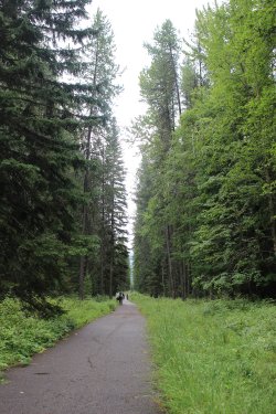
Apgar and Apgar Flats holds 7.6 miles of bike and horse trails. We looked in on a horse trail one June and it was pretty swampy, so I figured that these would be safest to do in August. Well.......we had had some rain so I have to say I had swampy conditions this day. But I was committed to doing every mile. I walked 11.2 miles to capture the 7.6. I had this map with me. To keep track of where I had hiked I number each section of trail as I changed sections. I got up to 33 for the entire route. I enjoyed the day as the forest seemed to constantly change. I was glad to be alone as I would have stressed about boring Kurt.
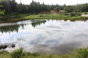
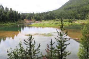
Though only a half mile from the road I had never been to the Oxbow. Again......a worthy area to visit in Glacier that would have only been seen because of The Project.
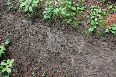
I only saw one group of horses, but plenty of evidence
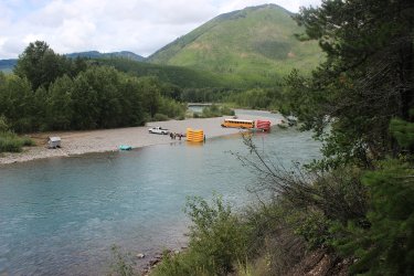
Rafters in the Middle Fork of the Flathead
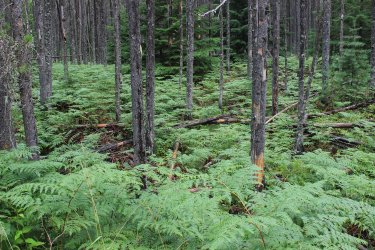
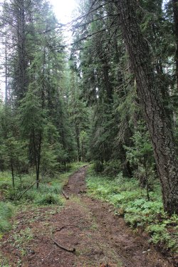
I kept from getting sloshy and muddy for the most part. By walking the edges or off trail in the woods.
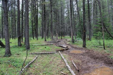
McDonald Creek
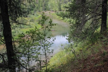
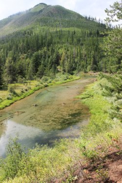
The next couple shots were taken from a meadow that I am sure was an old homestead site. Near the Oxbow area
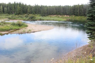
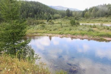
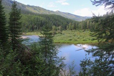
The Oxbow later in the day.
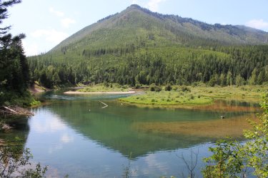
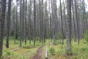
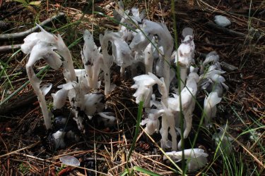
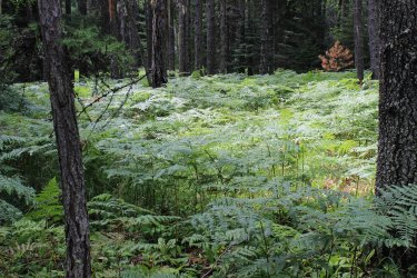
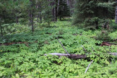
The next two shot highlight the ever changing floor. They might have been taken a couple minutes apart.
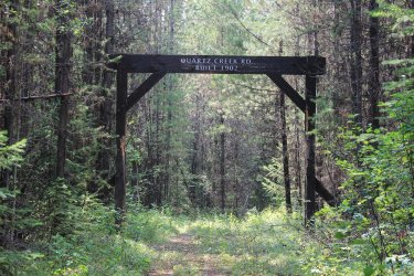
Day 6 - Jeff and I went into the North Fork to hike the Quartz Creek Trail. Being a long walk in the woods Kurt went fishing. There is no better companion than my son Jeff for a long walk in the woods! Do to the northeasterly flow of the trail there was no sense of hiking to the mountains as there was on the June Akokala Creek Trail.
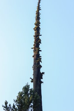
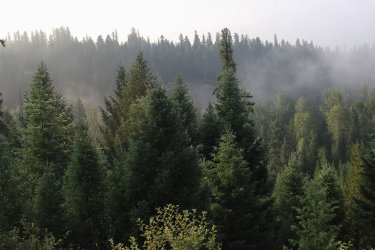
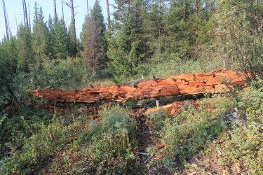
I believe I had another first. I am quite focal in regards to letting bears know that I am on a trail. I had my first bang-bang encounter. I hollered.....we both saw a bear stand up behind a bush 50 feet(?) in front of us, just off trail and scamper off into the forest. Being concerned that we couldn't hear continued crashing in the forest we weren't sure if it went 10 feet or a quarter mile. Eventually we continued on. We enjoyed the next 10 minutes as we saw what we considered signs of that bears morning. An area of grass matted down where it had rolled. This tree that it had shattered looking for ants.
The trail crosses a large in-holding of private land.
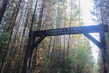
They probably had a cow or two back in the day.
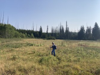
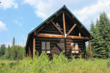
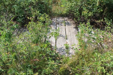
This trail gave Jeff a good perspective of The Project. This trail surely gets little use. We were drenched from walking through the tall brush.
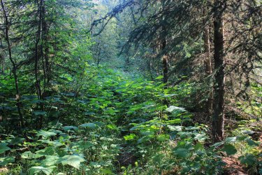
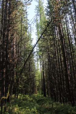
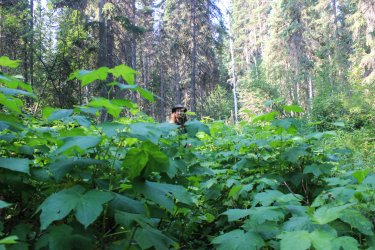
We eventually reached the ford of Quartz Creek
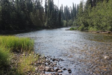
Along the mile of trail from the creek to where the trail junctions with the Quartz Lake Loop we discovered a huckleberry that.......tasted like a peach. Swear to God.
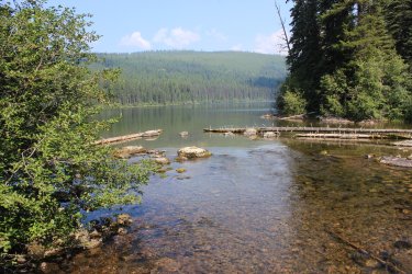
Outlet of Lower Quartz Lake. Our turnaround point.
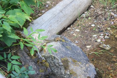
Yes, it is only a chipmunk but it the cutest, smallest, most perfect chipmunk.
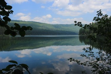
To get a more expansive view we hike a short way up trail
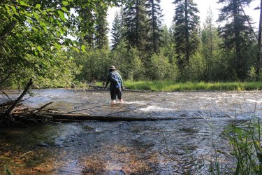
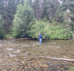
Me fording Quartz Creek
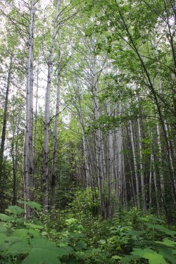
On our last day I took Jeff over to The Oxbow
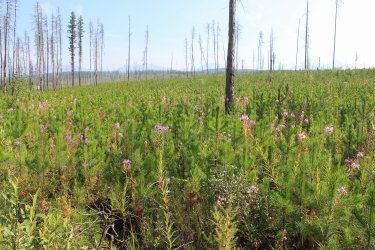
Billions of small pines and fireweed
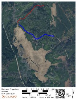
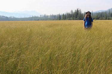
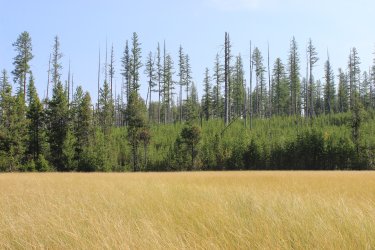
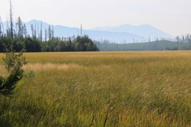
There is a .5 mile McGee Meadow trail. Any reference we have seen for this refers to its role in cross country skiing. So it is not trail that they steer the public to. Jeff and I had seen an Orange blaze for the route a few years back. This was the 2nd time were the CalTopo maps have been proven wrong when researching The Project. The blue is per the map. The red is reality. When we started down the trail (an old road) we both "felt" that things were off.
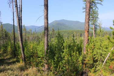
Being confused by the route being so different from our beta......"are we.......there?"
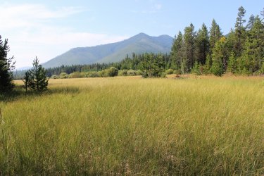
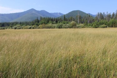
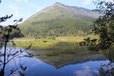
This is Glacier National Park. THIS IS WHY YOU HIKE EVERY TRAIL
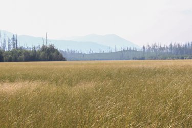
There was a couple foot wide stream bisecting the meadow that was easy to jump over.
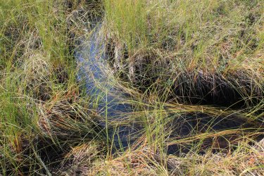
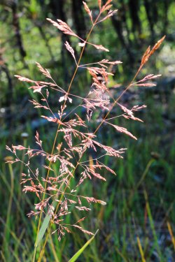
I have seen were they call McGee Meadow a "fen"
Thanks for coming along with me.
Note the blue line on the map. This was a 20 mile through hike from Swiftcurrent to the Canadian border. I can't express how excited I was to tackle this. But alas....for the entire week bears had the lower end closed. The scuttlebutt was that it was a prime huckleberry crop and there were too many bears enjoying the feast. Every day we would check the website hoping the trail would open. We wanted to do the hike this year because, due to infrastructure construction, access to the trails would be a couple miles longer in 2025. Oh well, hopefully we will feel up for it in 2026

I have hiked the 18 mile Dawson-Pitamakan Loop twice. Kurt has never done what I feel is the best day hike in Glacier. He had to work when we did it in 1985. I have owed him this hike, so it was time to pay off that debt.


Hiking up the Dry Fork drainage. A funny thing happened this morning. For the first time in years Kurt was leading the way so I was able to quantify just how much trail space/time it took me to stop and take a photo while he continued. With all the pictures I take that adds up to easily an hour a day and a couple miles.


We were a third of the way in. The easiest 3nd at that. Kurt looked at me and questioned if he should continue. I said "lets get to the lake and talk about it."
Oldman Lake

I tried to be as honest as I could be about what lied ahead. All the elevation. All the miles. All the wind. How nasty it was once we started dropping downhill. All the beauty.
He stuck with it !! Later in the day we will be on that ridge yonder.

Plenty of rock layers

At Pitamakan Pass looking down into the Cut Bank area. I still have that section of trail to do. It is at the top of our 2025 plans.

Kurt saw a trail sign for Cut Bank Pass .5 miles. I mentioned to him that I had never been over to the pass as it didn't provide a view any different than what laid ahead for us. There was a mile of trail at Oldman Lake that I was unable to hike because the park service had "revegetated" it. So I was a bit bummed by that. Kurt talked me into going over to Cut Bank Pass. I didn't care to add to already grueling Loop hike but I let him talk me into it. "Only if you don't follow me!" So, I snagged that .5 mile plus confirmed that any additional trail beyond the pass was not necessary for me to attempt as it was all downhill (with the require uphill back to the pass) and there was no new views to get.


Epic Kurt

Oldman Lake


Moose, thousand feet below


Since we couldn't do our 20 mile through hike I felt like we started winging our week. Jeff had arrived and I pushed for fording the river but neither of them seemed to want to try that. Kurt asked what I had to do in Many Glacier. I have a couple middle distance hikes to do so we headed that way.

In 2016 Jeff and I had gotten up into there. Snow Moon Basin. Made it to the high ridge, left of center. There is a trip report on BCP

This was 3+ mile hike up Swiftcurrent Ridge. Connecting with a hike I had done in 1987


Looking across to Boulder Ridge where I had been in June. Napi Point on the left. One of border markers of the 1895 land purchase of the east side of Glacier from the Blackfeet.

Mt. Siyeh 10,014 and Snow Moon Basin

Kurt had never been to Appekuny Falls. We made sure he was aware that though it is only a mile, it is Steep!

Oh, the air quality in August. It is becoming the norm.

The next day felt like another filler day.........instead of fording the damn river. There was a .3 mile trail near the McDonald Lodge called the Sperry Loading Ramp Trail. Even though I spent the entire summer at the lodge in 1985 I couldn't remember knowing that this trail existed. So I was determined to find it and capture it. Turns out it is where people can offload their horses and meet up with the main trail system. Short but sweet section of trail.

Jeff and I, on independent trips, had scrambled up into Lunch Creek Basin. We felt it was a place we needed to get Kurt to.

Our start up Lunch Creek. As we drove by the small/full parking lot all 3 of us miraculously saw the bottom half of a marmot who was investigating the inside of a cars back bumper. Kurt exclaimed "so help me if the only time I see a marmot in five years is that marmot!!!!!!" Jeff and I smiled at each other as we felt we had this covered on this hike.

We get above this waterfall by going to the right.


Kurt's "The Hills are Alive with the Sound of Music" moment

Kurt is a big game hunter and Jeff and I felt with absolute certainty we would see some up here.

There were plenty of marmots. This guy respectfully, persistently checked us out. His behavior felt like he was telling us "you're sitting on My rock!"


We are less than a mile from the Busy road and we may as well have been dozens of miles in the backcountry. I assume that few people attempt to get above the initial waterfall.


Lower Lunch Creek has been discovered by the masses. Waterfalls and wildflowers galore.

In the morning as we drove around The Loop on the Going To The Sun Road an idea hit me. I mentioned to Kurt that I had something for him to think on for a few hours. "When we come back to The Loop can I jump out of the truck and hike 3 miles down to Packer's Roost where you can pick me up?" Having never been to Packer's Roost he was anxious but Jeff and I assured him that he could do it. There was a .9 section of trail that I have struggled with fitting in with any other hike. I OWE Kurt a lot for his logistical help with The Project.
Jeff and I jumped out at the Loop and off we went. The .9 section of trail is predominately a packers trail getting supplies up to Granite Park Chalet. There is little reason for a hiker to take it. Because of this Jeff and I Gorged ourselves on huckleberries and thimbleberries.

When we reached this stream crossing in unison we exclaimed "THIS IS WHY YOU HIKE ALL THE TRAILS" We were gobsmacked. Completely unexpected. Gorge-like with pools and waterfalls.


I pray that someday I will come back here and spend some time sitting in these pools with this incredible view of Heaven's Peak.


Having no takers for fording the river I was getting a bit lost, chagrinned, frustrated, dag-nab-itted. I told them "I'm going to Apgar Flats" and left them to their owe devises. Kurt went fishing and Jeff sat along the river for a couple hours.
Apgar and Apgar Flats holds 7.6 miles of bike and horse trails. We looked in on a horse trail one June and it was pretty swampy, so I figured that these would be safest to do in August. Well.......we had had some rain so I have to say I had swampy conditions this day. But I was committed to doing every mile. I walked 11.2 miles to capture the 7.6. I had this map with me. To keep track of where I had hiked I number each section of trail as I changed sections. I got up to 33 for the entire route. I enjoyed the day as the forest seemed to constantly change. I was glad to be alone as I would have stressed about boring Kurt.


Though only a half mile from the road I had never been to the Oxbow. Again......a worthy area to visit in Glacier that would have only been seen because of The Project.


I only saw one group of horses, but plenty of evidence


Rafters in the Middle Fork of the Flathead

I kept from getting sloshy and muddy for the most part. By walking the edges or off trail in the woods.

McDonald Creek


The next couple shots were taken from a meadow that I am sure was an old homestead site. Near the Oxbow area


The Oxbow later in the day.


The next two shot highlight the ever changing floor. They might have been taken a couple minutes apart.


Day 6 - Jeff and I went into the North Fork to hike the Quartz Creek Trail. Being a long walk in the woods Kurt went fishing. There is no better companion than my son Jeff for a long walk in the woods! Do to the northeasterly flow of the trail there was no sense of hiking to the mountains as there was on the June Akokala Creek Trail.


I believe I had another first. I am quite focal in regards to letting bears know that I am on a trail. I had my first bang-bang encounter. I hollered.....we both saw a bear stand up behind a bush 50 feet(?) in front of us, just off trail and scamper off into the forest. Being concerned that we couldn't hear continued crashing in the forest we weren't sure if it went 10 feet or a quarter mile. Eventually we continued on. We enjoyed the next 10 minutes as we saw what we considered signs of that bears morning. An area of grass matted down where it had rolled. This tree that it had shattered looking for ants.

The trail crosses a large in-holding of private land.

They probably had a cow or two back in the day.


This trail gave Jeff a good perspective of The Project. This trail surely gets little use. We were drenched from walking through the tall brush.


We eventually reached the ford of Quartz Creek


Along the mile of trail from the creek to where the trail junctions with the Quartz Lake Loop we discovered a huckleberry that.......tasted like a peach. Swear to God.
Outlet of Lower Quartz Lake. Our turnaround point.


Yes, it is only a chipmunk but it the cutest, smallest, most perfect chipmunk.

To get a more expansive view we hike a short way up trail

Me fording Quartz Creek


On our last day I took Jeff over to The Oxbow

Billions of small pines and fireweed

There is a .5 mile McGee Meadow trail. Any reference we have seen for this refers to its role in cross country skiing. So it is not trail that they steer the public to. Jeff and I had seen an Orange blaze for the route a few years back. This was the 2nd time were the CalTopo maps have been proven wrong when researching The Project. The blue is per the map. The red is reality. When we started down the trail (an old road) we both "felt" that things were off.


Being confused by the route being so different from our beta......"are we.......there?"


This is Glacier National Park. THIS IS WHY YOU HIKE EVERY TRAIL

There was a couple foot wide stream bisecting the meadow that was easy to jump over.

I have seen were they call McGee Meadow a "fen"


Thanks for coming along with me.
Last edited:

