chandlerwest
Member
- Joined
- Feb 7, 2015
- Messages
- 550
I have tried to think of some witty reason as to why this trip report is a year late. I got nothing. At this second, the best I have is I was a bit down after the August week. We were able to ford the Middle Fork of the Flathead but I didn't force that agenda. I turned 65 so maybe that messed with my behavior. Trying to edit my photos into something reasonable this morning........maybe.........I simply have no editorial limits and these trip reports come across as monster size. I had planned on doing a 2023-2024 report but you people have places to be, so lets split it up.
@Jeffrey Chandler was able to join me in June. We hiked 63.5 miles. I think June is becoming my favorite week because do to high country trails are not open, we don't have to contend with smoke filled skies. Jeff studies has been in eco-landscaping so he is all about the trees and floral. This week focused on fire zones.
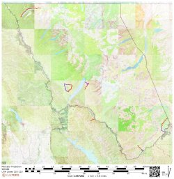
Day 1 found us hiking into the 2017-Sprague Fire Zone. It was a day full of both of us noticing how the forest was be revitalized. It was like I was in a classroom with observations bouncing back and forth between us.
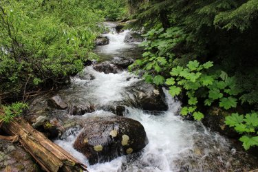
The search for the source of Jackson Creek! Jackson Creek is a beautiful creek that has intrigued us for years. You look at a map and it appears to spring out of the ground. It doesn't obviously flow from snowfield.
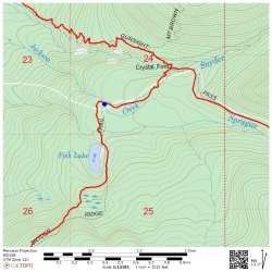
We are more adventurous these days so Jeff cut off into the wilderness! I managed to keep up.
We reached a point and puzzled the situation out. Sprague Creek comes down from the snowfields and enters this relatively flat, round basin. Watercourses scatter hither and yond. One of these had enough steam to become Jackson Creek. So very grateful to have Jeff because when I proposed how to get back to the trail Jeff looked at me as if I was insane. I got a bit turned around and he was right!
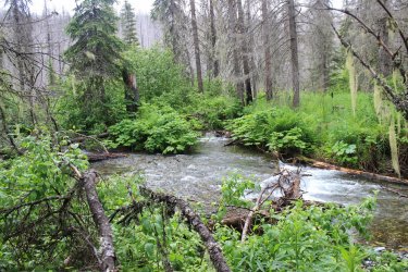
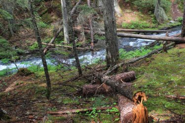
Crossing Jackson Creek on the trail. On my top ten list of incredible locations in the park. There is just Something about it!
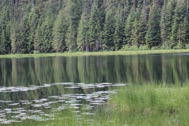
Fish Lake. The first hike that I did with a large group of fellow employees back in 1985
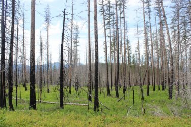
The bright green regrowth
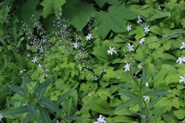
When the Sprague Fire was burning I feared for this forest just east of Lake McDonald Lodge but the fire managed to stay out of it. Someday this virgin forest will burn but hopefully I will be dead.
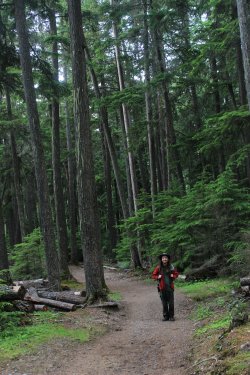
Day 2 takes us to the North Fork. In recent years I have grown to LOVE the North Fork. There is history there because it was homesteaded a hundred years ago. Plus there was a proposed dam that would have inundated it and that had to be fought off. Fires has burnt through the areas for decades so the forest it a mix of everything. All routes are going towards the mountains not "in" the mountains. It is simply a different, unique side of Glacier National Park. Let me see if I can find my map of the proposed reservoir.
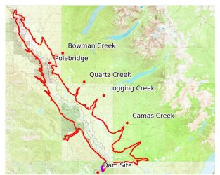
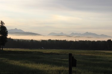
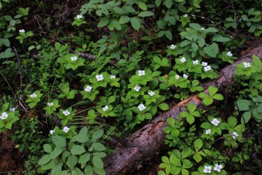
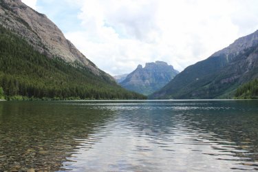
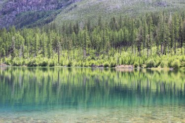
Our hike to Upper Kintla Lake is the farthest I have pushed into Glacier NP from a trailhead, at 9.5 miles. Long glorious day. All of it New trail miles for me.
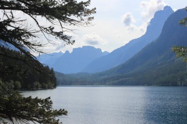
Kintla Lake
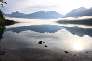
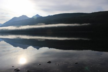
Please note the calm water reflection in the middle of the lake
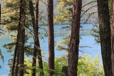
Pollen on the surface
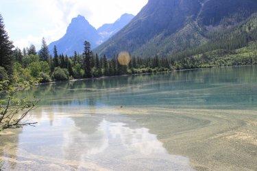
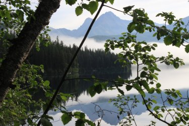
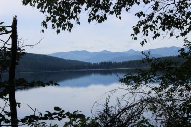
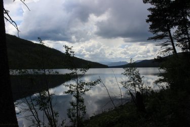
Down lake from the campground
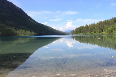
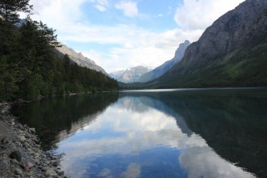
Upper Kintla Lake - I had only dreamt of getting here. And here I am!
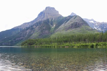
Kinnerly Peak, 9,944 ft. -- Look at that wall!
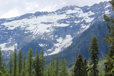
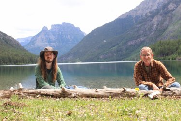
On the way out we were hypervigilant for a "trail" that took off to the right. We knew that it is old unused trail but it is on the list of 734 miles of trail so we were hopeful to find it. I found a metal circle nailed to a tree that read "Kintla Fire Trail 40 steps <". This is what we found. If you look, hard, you can see an orange blaze in addition to the ever so faint trail. This trail is 7 miles long so we left the area believing that trying to follow this for 7 miles was a non starter. To date it has been, BUT I want to do this "Starvation Ridge Trail" so bad. In my head it is a trail that Rangers hiked a hundred years ago. The Kishenehn Ranger station is at the other end. (See later in this report.)
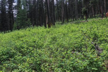
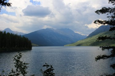
Day three was frustratingly funny. Neither of us had any great plans for the day since Upper Kintla was quite the haul. But I woke up wanting to do something. I waited and waited for Jeff to rouse. I finally hollered into his room. "I'm taking off for a hike!" "Where you going?" I told him. "Have a good day!" was his reply. So off I went to capture my final segment of the Autumn Creek Trail. (Not quite....I had a Reservation section to capture in 2024). Autumn Creek Trail took me three tries to complete. It has logistical issues.
I have walked through this section of trail a dozen times and this grove of trees is one of those top ten spots in the Park.
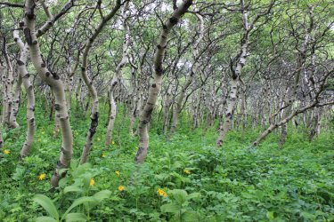
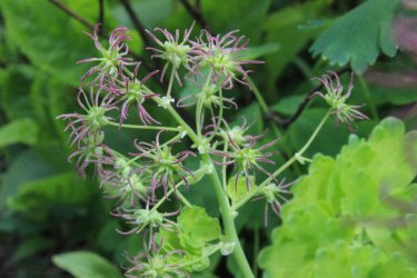
Even though this section of trail is part of the official Continental Divide Trail it is pretty overgrown. But it is a good trail under there.
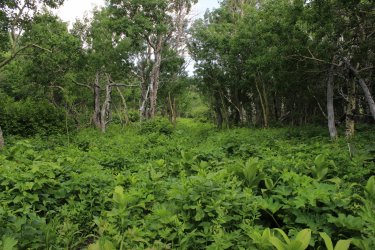
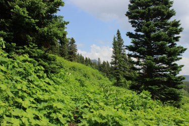
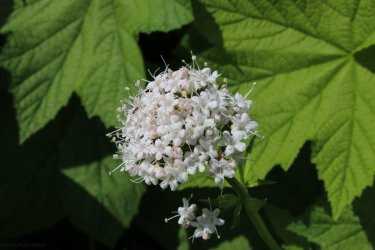
In 1897 the eastern side of Glacier NP was purchased from the Blackfeet Tribe for $1.5 million. I will not delve into right, wrong, fair, unjust. I have read a papers on the topic and it is quite interesting. Any who.......at least one person was able to express opinions on the matter.
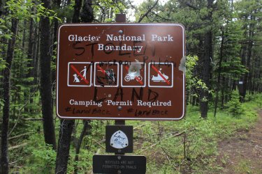
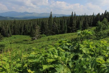
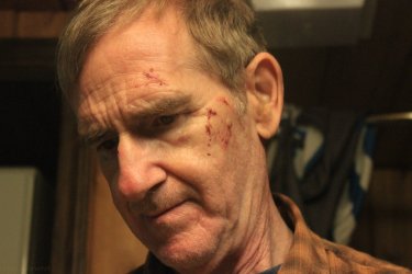
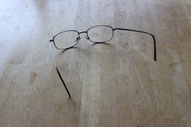
On the way out I stumbled and went down hard. Face planted. I felt okay but wherever I touched my face I got blood. I dabbed the best I could and finished the hike. I met another hiker and he goes "did you run into a swarm of mosquitoes?" As I must have looked a fright. Along the way we talked and he said. "I would love to see your son's reaction when you walk in." I got to the car and looked in the rearview mirror and "holy shit!" I had blood smeared everywhere. I was able to bend the glasses into a functional pair. I still wear them.
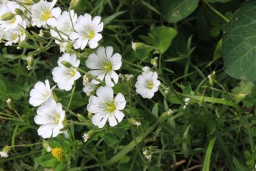
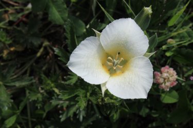
Even though I was "injured" I had to capture wildflowers on the way to the trailhead.
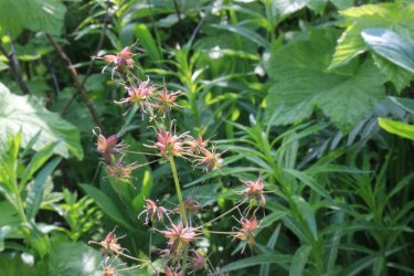
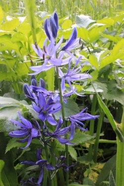
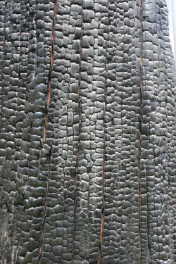
Day four took us into the 2018 Howe Ridge fire zone. This ridge has had all manner of fires over the century also.
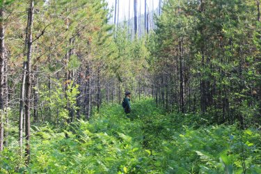
Hoping to capture the height of this stag.
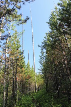
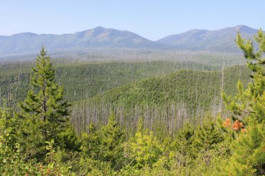
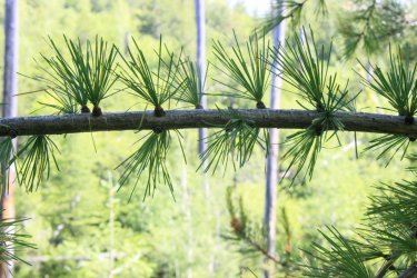
If you see a live, green tree in a disaster of a fire zone odds are it will be a Larch.
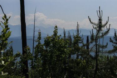
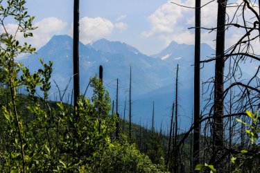
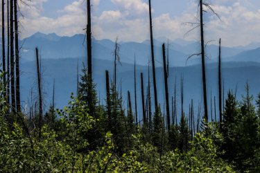
For June our air quality sucked. BUT on this morning we both were in awe as we could still see the definition in the mountains. Wave after wave of mountains. Wonderful!
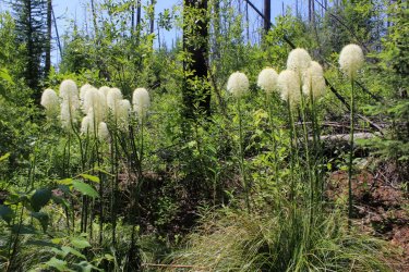
Beargrass
There is a valley that cross cuts Howe Ridge that caught us by surprise. Beautiful
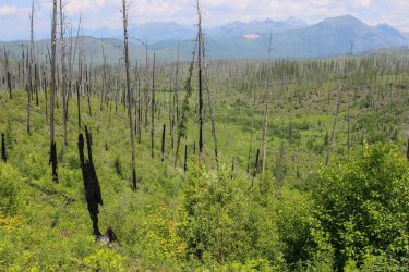
Approaching Howe Lakes
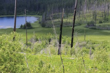
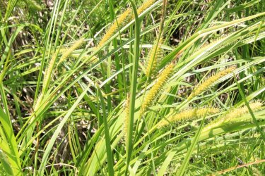
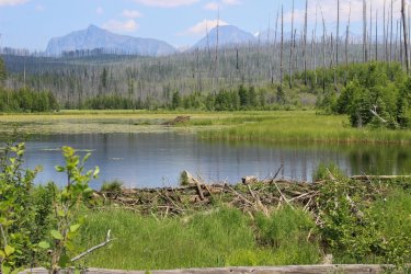
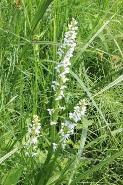
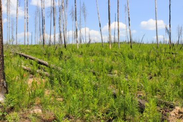
Acres of baby trees!
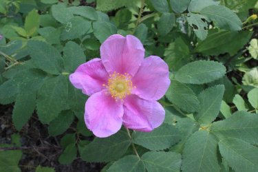
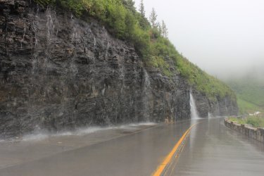
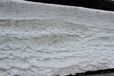
The Going To The Sun Road opened late in the week. This Rarely happens.
With me trying to hike as many of the 734 miles of trail as I can you find hikes like this 3 trail into Ole Creek.
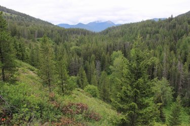
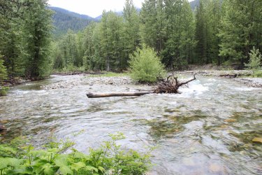
Jeff in his natural state of trying to identify.
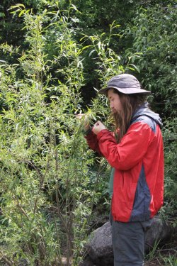
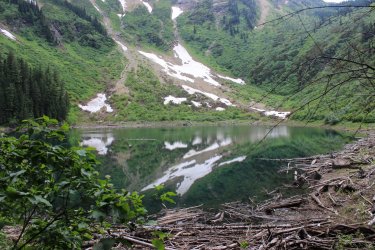
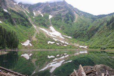
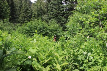
There is this couple mile hike just down from our cabin. It is outside of the park so National Forest and Bearpaw Wilderness lands. Skiumah Lake. It was a "moist" day so we got drenched on this overgrown trail.
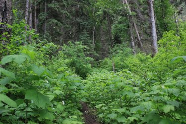
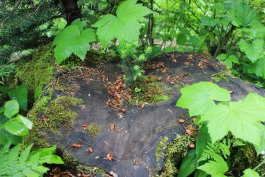
Note the weee tree growing out of the large stump.
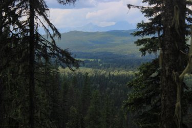
Loneman Mountain where we will start our August 2023 week.
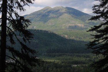
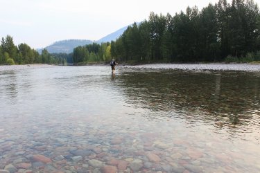
August 2023 --- Smoke ---- This has certainly become the norm. Ugh. The Middle Fork of the Flathead River was fordable!!!!!! Loneman Lookout was at the top of our list so we tackled it on Day 1. I had "experience" as I was able to ford the river in 2021, but the initial ford caught us all (Jeff, Kurt and I) by surprise. The flow channel had changed in two years. The initial bit was very swift. I told Jeff "you need to find us a better route on the way back."
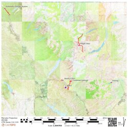
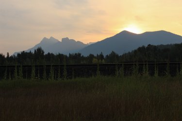
This second half of the ford was very tame.
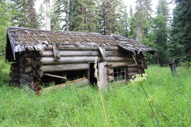
Old Nyack Ranger Station building.
Looking across the Middle Fork to the west. Our cabin is at the foot of the drainage to the right and Skiumah Lake is up the drainage to the left. I think.
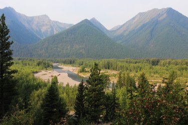
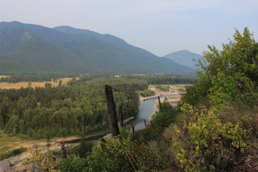
This was a decent trail BUT we fought encroachment the entire way. Slap, slap, push, lift....ugh. These trails east of the river do not get much activity as they are so hard to access.
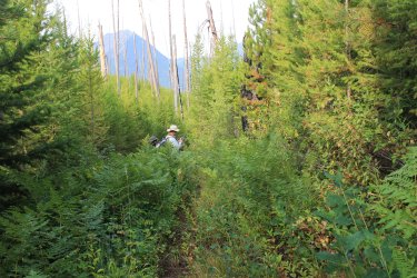
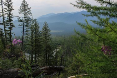
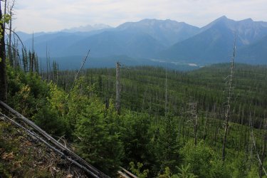
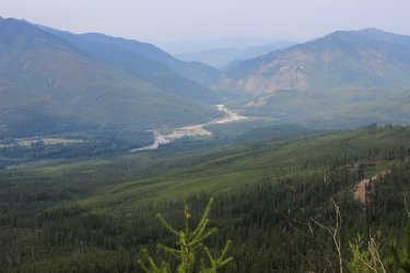
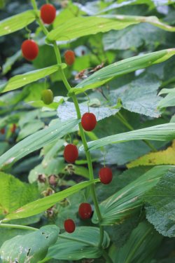
This is a 2003 Fire Zone
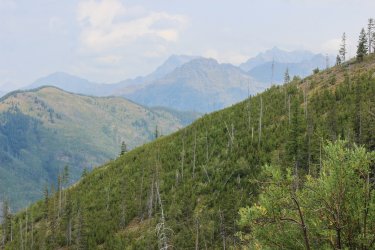
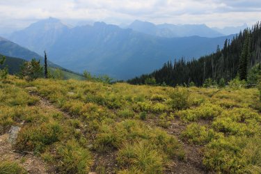
Looking south towards Mt. St. Nicholas
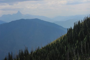
Harrison Lake. I got to its shore in 2021
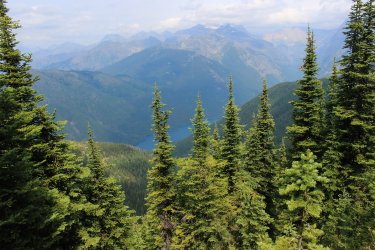
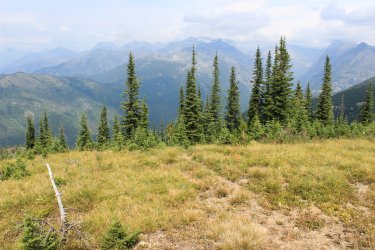
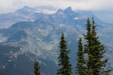
There is a glacier beyond
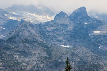
Mt. Stimson 10,142 ft. If you listen to Jeff this is visible from damn near everywhere in the Park
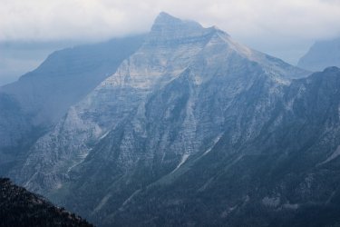
Kurt with the Nyack drainage below. As of todays date this is the only drainage in this area of the park that I need to get to.
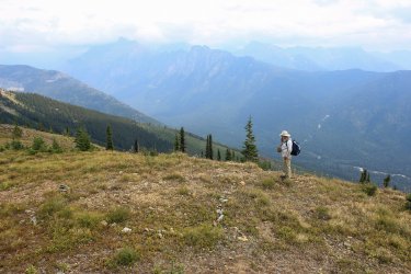
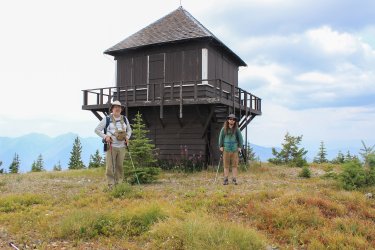
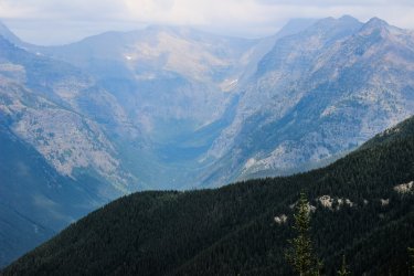
Smoke sucks but.............it sure can make things pop.
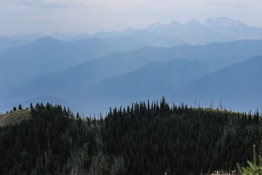
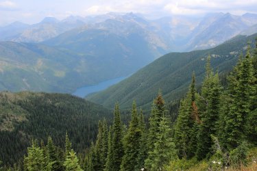
Headwall of the Harrison drainage.
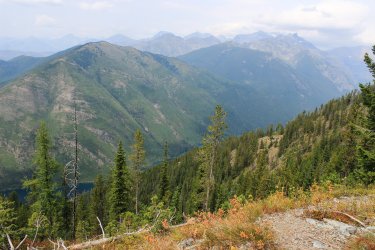
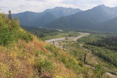
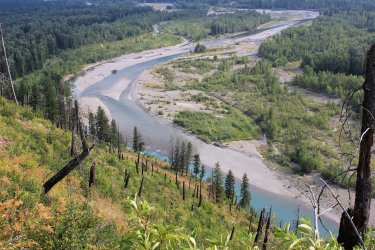
Jeff found us a much nicer crossing spot.
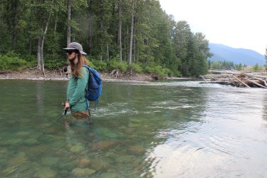
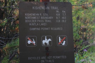
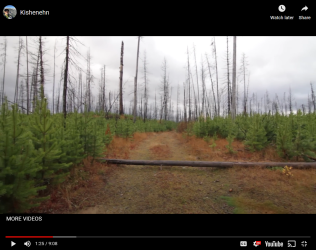
KISHENEHN -- (kishneen) The far upper northwest corner of Glacier National Park. Miles of trail to nothing in particular. Hiking up there if definitely off the beaten path. It was a wonderful day. The route follows a centuries old roadbed that once led to the Canadian Border. As ab an added plus it follows close to the North Fork of the Flathead River a fair amount.
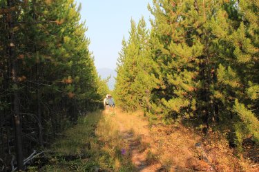
The same area from 2011
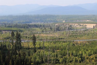
Looking across the North Fork
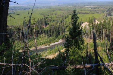
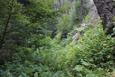
A bit overgrown in spots
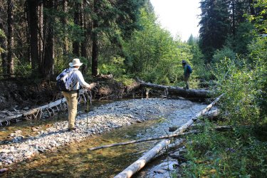
First of two stream crossings. Starvation Creek
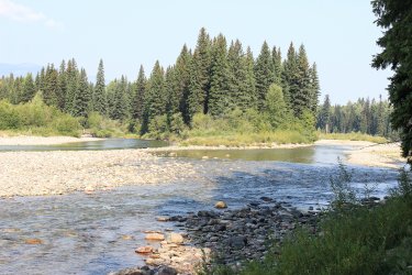
Kishenehn Creek ford. Was a major route used by Native Americans over a century ago. Go across the mountains in Canada. The route not the creek.
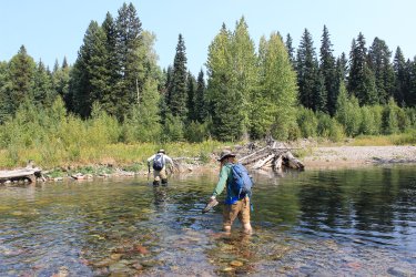
The beta we had was limited at best. There was a cairn that seems useless to us at the time....and later. There was to be an orange blaze showing the trail beyond the creek. Separated looking for the route. Eventually Jeff snagged it. I swear.......that blaze is visible if only from a six square foot area. I think a few bushes need to be whacked down.
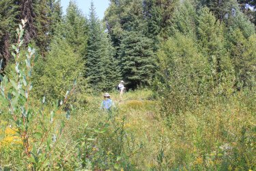
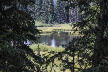
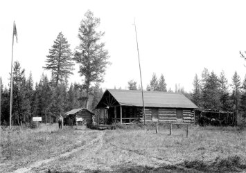
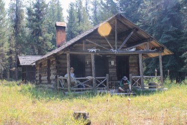
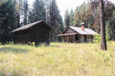
The Kishenehn Ranger Station. This goes back 90 years easily.
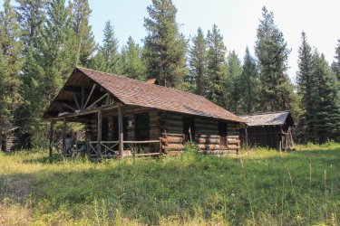
Lunch spot along the North Fork!
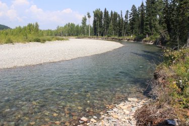
Taking a picture from mid-ford has become a Thing that I do.
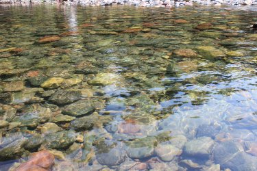
Gonna lose those trees sooner than later.
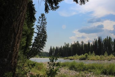
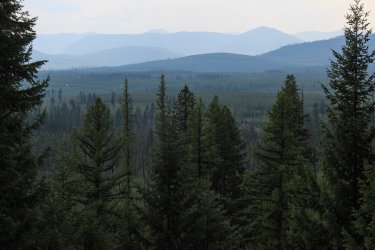
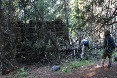
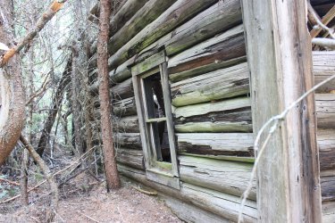
We were all "feeling it" so on Day 3 we crossed the river so I could show Jeff and Kurt the Doody Homestead.
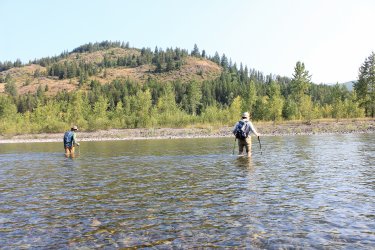
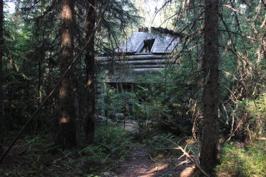
That downed tree has happened since 2021. It came extremely close to flattening the entire structure.
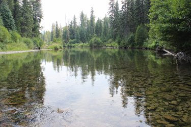
That afternoon I came as close to a hissy fit as I ever have. No one seemed to have the drive to do anything of substance so I started putting on my shoes. "I'm going to cross the river and try to find the Nyack Horse Pack Trail and I don't care if anybody comes with me!!!!" Jeff came with while Kurt drove over to Two Medicine to check out the fishing. I had tried to find this Pack Trail in 2021 but instead forded the river is a horribly precarious location. With Jeff on hand the trail was easy to find. So I can mark that .8 miles off.
Nyack Creek
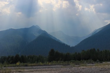
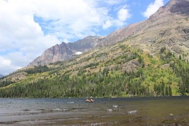
Day 5(?) We needed to spot a car for a through hike on the last day. In the morning Jeff climbed a mountain while I hung out with Kurt while he fished at Two Medicine Lake.
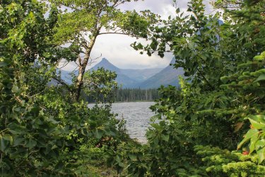
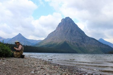
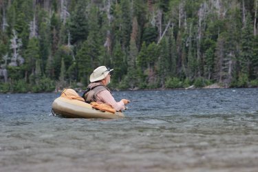
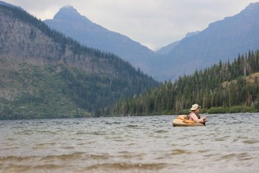
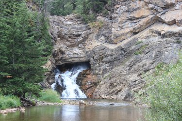
Running Eagle Falls
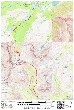
Day 6 we had our first through hike......I think. I had previously hiked the beginning and ends of this route but not the middle third. Up and over Piegan Pass we go. 14 miles.
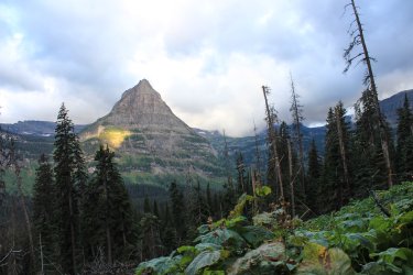
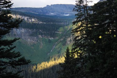
Piegan glacier
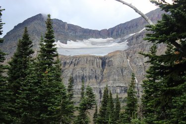
Looking across towards Blackfoot and Jackson Glaciers
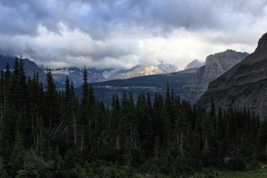
Cousin its
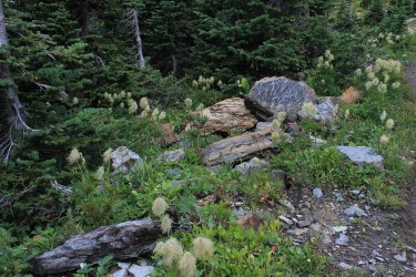
FYI - it was very cold and Windy! Piegan Pass. Cataract Mtn is the point on the right. Jeff scrambled up that.
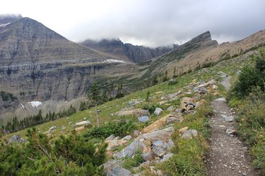
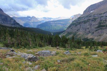
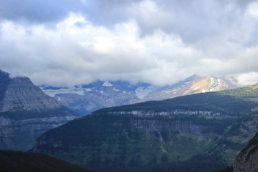
Blackfoot Glacier
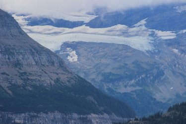
Jackson Glacier
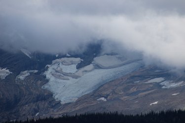
Piegan Glacier
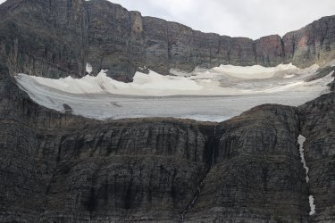
Blue Gentian - a couple days from popping
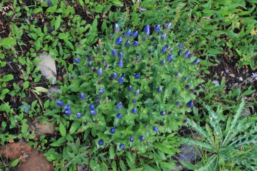
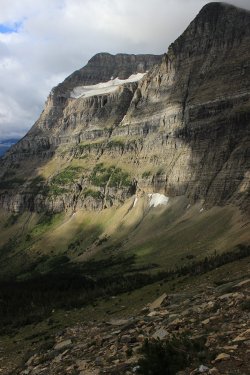
Check out That Mood !!
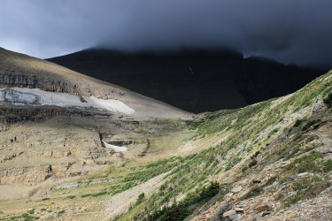
Looking back the route we had came. Mt. Siyeh 10,014 ft on the left. Jeff has climbed that!
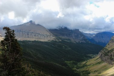
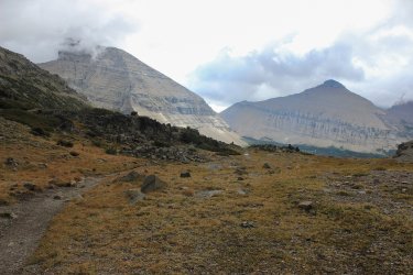
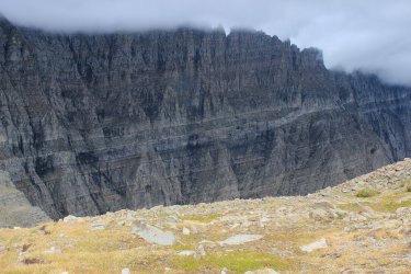
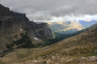
Looking north from Piegan Pass
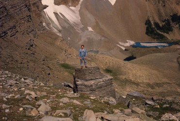
Trying not to get blown off
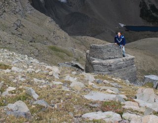
The same rock......shot by the same person (Kurt) from 1985. I was much steadier.
Jeff on Cataract Mtn.
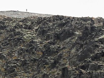
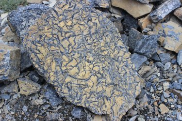
The geology is ever fascinating.
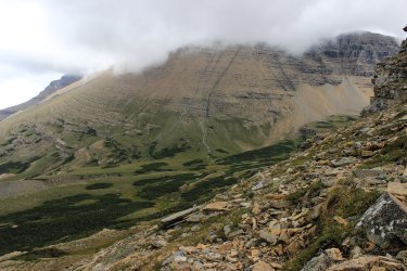
That is Piegan Saddle (above Lunch Creek on the other side). Piegan Pass is off to the left.
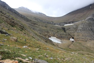
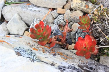
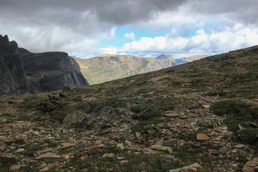
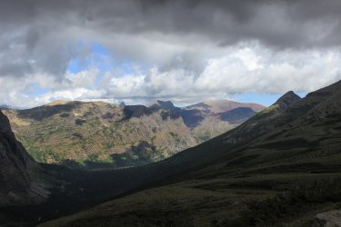
Column
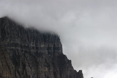
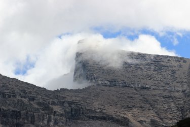
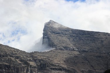
I saw Siyeh shrouded in clouds. Jeff had to catch up to us so drug my feet hoping for the clouds to lift.
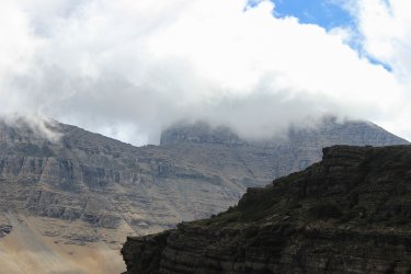
The top of the 3000-4000 foot north face coming into view!!
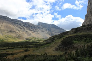
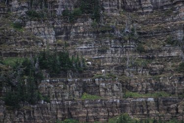
Mountain Goats
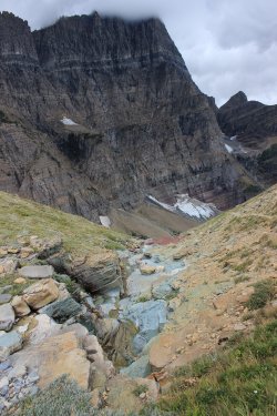
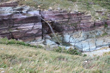
Look at that projection!!! That falls is flying.
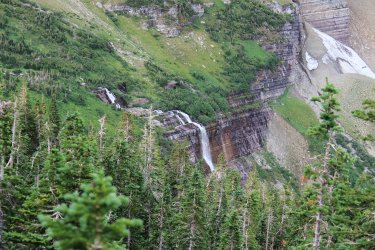
Morning Eagle Falls - Surely one of the best waterfalls in the Park. The green....the cliffs!
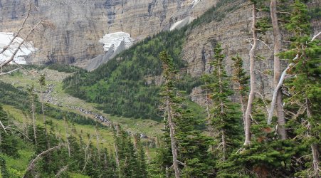
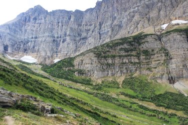
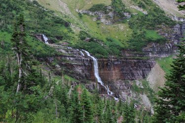
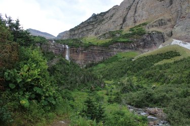
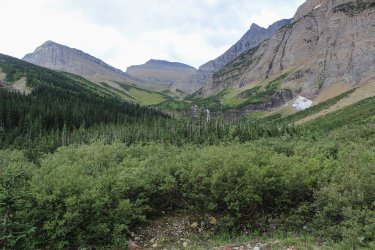
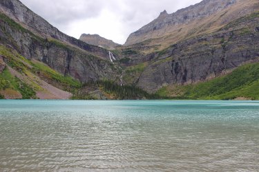
Grinnell Lake. The glacier sits up in the bowl above.
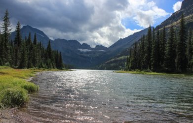
Looking across Josephine Lake towards the basin.
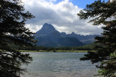
Mt. Wilbur and Swiftcurrent Lake
Thanks for coming to Glacier National Park in 2023. About 110 miles hiked. 37 new trail miles. This is tame compared to 2024. That trip report will come this winter.......or next week......we will see.
@Jeffrey Chandler was able to join me in June. We hiked 63.5 miles. I think June is becoming my favorite week because do to high country trails are not open, we don't have to contend with smoke filled skies. Jeff studies has been in eco-landscaping so he is all about the trees and floral. This week focused on fire zones.

Day 1 found us hiking into the 2017-Sprague Fire Zone. It was a day full of both of us noticing how the forest was be revitalized. It was like I was in a classroom with observations bouncing back and forth between us.

The search for the source of Jackson Creek! Jackson Creek is a beautiful creek that has intrigued us for years. You look at a map and it appears to spring out of the ground. It doesn't obviously flow from snowfield.

We are more adventurous these days so Jeff cut off into the wilderness! I managed to keep up.

We reached a point and puzzled the situation out. Sprague Creek comes down from the snowfields and enters this relatively flat, round basin. Watercourses scatter hither and yond. One of these had enough steam to become Jackson Creek. So very grateful to have Jeff because when I proposed how to get back to the trail Jeff looked at me as if I was insane. I got a bit turned around and he was right!

Crossing Jackson Creek on the trail. On my top ten list of incredible locations in the park. There is just Something about it!

Fish Lake. The first hike that I did with a large group of fellow employees back in 1985

The bright green regrowth


When the Sprague Fire was burning I feared for this forest just east of Lake McDonald Lodge but the fire managed to stay out of it. Someday this virgin forest will burn but hopefully I will be dead.

Day 2 takes us to the North Fork. In recent years I have grown to LOVE the North Fork. There is history there because it was homesteaded a hundred years ago. Plus there was a proposed dam that would have inundated it and that had to be fought off. Fires has burnt through the areas for decades so the forest it a mix of everything. All routes are going towards the mountains not "in" the mountains. It is simply a different, unique side of Glacier National Park. Let me see if I can find my map of the proposed reservoir.


Our hike to Upper Kintla Lake is the farthest I have pushed into Glacier NP from a trailhead, at 9.5 miles. Long glorious day. All of it New trail miles for me.
Kintla Lake


Please note the calm water reflection in the middle of the lake


Pollen on the surface

Down lake from the campground

Upper Kintla Lake - I had only dreamt of getting here. And here I am!

Kinnerly Peak, 9,944 ft. -- Look at that wall!


On the way out we were hypervigilant for a "trail" that took off to the right. We knew that it is old unused trail but it is on the list of 734 miles of trail so we were hopeful to find it. I found a metal circle nailed to a tree that read "Kintla Fire Trail 40 steps <". This is what we found. If you look, hard, you can see an orange blaze in addition to the ever so faint trail. This trail is 7 miles long so we left the area believing that trying to follow this for 7 miles was a non starter. To date it has been, BUT I want to do this "Starvation Ridge Trail" so bad. In my head it is a trail that Rangers hiked a hundred years ago. The Kishenehn Ranger station is at the other end. (See later in this report.)


Day three was frustratingly funny. Neither of us had any great plans for the day since Upper Kintla was quite the haul. But I woke up wanting to do something. I waited and waited for Jeff to rouse. I finally hollered into his room. "I'm taking off for a hike!" "Where you going?" I told him. "Have a good day!" was his reply. So off I went to capture my final segment of the Autumn Creek Trail. (Not quite....I had a Reservation section to capture in 2024). Autumn Creek Trail took me three tries to complete. It has logistical issues.
I have walked through this section of trail a dozen times and this grove of trees is one of those top ten spots in the Park.


Even though this section of trail is part of the official Continental Divide Trail it is pretty overgrown. But it is a good trail under there.


In 1897 the eastern side of Glacier NP was purchased from the Blackfeet Tribe for $1.5 million. I will not delve into right, wrong, fair, unjust. I have read a papers on the topic and it is quite interesting. Any who.......at least one person was able to express opinions on the matter.


On the way out I stumbled and went down hard. Face planted. I felt okay but wherever I touched my face I got blood. I dabbed the best I could and finished the hike. I met another hiker and he goes "did you run into a swarm of mosquitoes?" As I must have looked a fright. Along the way we talked and he said. "I would love to see your son's reaction when you walk in." I got to the car and looked in the rearview mirror and "holy shit!" I had blood smeared everywhere. I was able to bend the glasses into a functional pair. I still wear them.


Even though I was "injured" I had to capture wildflowers on the way to the trailhead.


Day four took us into the 2018 Howe Ridge fire zone. This ridge has had all manner of fires over the century also.

Hoping to capture the height of this stag.


If you see a live, green tree in a disaster of a fire zone odds are it will be a Larch.

For June our air quality sucked. BUT on this morning we both were in awe as we could still see the definition in the mountains. Wave after wave of mountains. Wonderful!


Beargrass

There is a valley that cross cuts Howe Ridge that caught us by surprise. Beautiful

Approaching Howe Lakes


Acres of baby trees!


The Going To The Sun Road opened late in the week. This Rarely happens.


With me trying to hike as many of the 734 miles of trail as I can you find hikes like this 3 trail into Ole Creek.


Jeff in his natural state of trying to identify.

There is this couple mile hike just down from our cabin. It is outside of the park so National Forest and Bearpaw Wilderness lands. Skiumah Lake. It was a "moist" day so we got drenched on this overgrown trail.


Note the weee tree growing out of the large stump.


Loneman Mountain where we will start our August 2023 week.

August 2023 --- Smoke ---- This has certainly become the norm. Ugh. The Middle Fork of the Flathead River was fordable!!!!!! Loneman Lookout was at the top of our list so we tackled it on Day 1. I had "experience" as I was able to ford the river in 2021, but the initial ford caught us all (Jeff, Kurt and I) by surprise. The flow channel had changed in two years. The initial bit was very swift. I told Jeff "you need to find us a better route on the way back."


This second half of the ford was very tame.

Old Nyack Ranger Station building.

Looking across the Middle Fork to the west. Our cabin is at the foot of the drainage to the right and Skiumah Lake is up the drainage to the left. I think.


This was a decent trail BUT we fought encroachment the entire way. Slap, slap, push, lift....ugh. These trails east of the river do not get much activity as they are so hard to access.


This is a 2003 Fire Zone


Looking south towards Mt. St. Nicholas

Harrison Lake. I got to its shore in 2021


There is a glacier beyond

Mt. Stimson 10,142 ft. If you listen to Jeff this is visible from damn near everywhere in the Park

Kurt with the Nyack drainage below. As of todays date this is the only drainage in this area of the park that I need to get to.


Smoke sucks but.............it sure can make things pop.


Headwall of the Harrison drainage.


Jeff found us a much nicer crossing spot.

KISHENEHN -- (kishneen) The far upper northwest corner of Glacier National Park. Miles of trail to nothing in particular. Hiking up there if definitely off the beaten path. It was a wonderful day. The route follows a centuries old roadbed that once led to the Canadian Border. As ab an added plus it follows close to the North Fork of the Flathead River a fair amount.


The same area from 2011

Looking across the North Fork


A bit overgrown in spots

First of two stream crossings. Starvation Creek


Kishenehn Creek ford. Was a major route used by Native Americans over a century ago. Go across the mountains in Canada. The route not the creek.

The beta we had was limited at best. There was a cairn that seems useless to us at the time....and later. There was to be an orange blaze showing the trail beyond the creek. Separated looking for the route. Eventually Jeff snagged it. I swear.......that blaze is visible if only from a six square foot area. I think a few bushes need to be whacked down.


The Kishenehn Ranger Station. This goes back 90 years easily.

Lunch spot along the North Fork!

Taking a picture from mid-ford has become a Thing that I do.

Gonna lose those trees sooner than later.


We were all "feeling it" so on Day 3 we crossed the river so I could show Jeff and Kurt the Doody Homestead.


That downed tree has happened since 2021. It came extremely close to flattening the entire structure.


That afternoon I came as close to a hissy fit as I ever have. No one seemed to have the drive to do anything of substance so I started putting on my shoes. "I'm going to cross the river and try to find the Nyack Horse Pack Trail and I don't care if anybody comes with me!!!!" Jeff came with while Kurt drove over to Two Medicine to check out the fishing. I had tried to find this Pack Trail in 2021 but instead forded the river is a horribly precarious location. With Jeff on hand the trail was easy to find. So I can mark that .8 miles off.
Nyack Creek


Day 5(?) We needed to spot a car for a through hike on the last day. In the morning Jeff climbed a mountain while I hung out with Kurt while he fished at Two Medicine Lake.


Running Eagle Falls

Day 6 we had our first through hike......I think. I had previously hiked the beginning and ends of this route but not the middle third. Up and over Piegan Pass we go. 14 miles.


Piegan glacier

Looking across towards Blackfoot and Jackson Glaciers

Cousin its

FYI - it was very cold and Windy! Piegan Pass. Cataract Mtn is the point on the right. Jeff scrambled up that.


Blackfoot Glacier

Jackson Glacier

Piegan Glacier

Blue Gentian - a couple days from popping


Check out That Mood !!

Looking back the route we had came. Mt. Siyeh 10,014 ft on the left. Jeff has climbed that!


Looking north from Piegan Pass

Trying not to get blown off

The same rock......shot by the same person (Kurt) from 1985. I was much steadier.

Jeff on Cataract Mtn.

The geology is ever fascinating.


That is Piegan Saddle (above Lunch Creek on the other side). Piegan Pass is off to the left.


Column

I saw Siyeh shrouded in clouds. Jeff had to catch up to us so drug my feet hoping for the clouds to lift.

The top of the 3000-4000 foot north face coming into view!!


Mountain Goats


Look at that projection!!! That falls is flying.

Morning Eagle Falls - Surely one of the best waterfalls in the Park. The green....the cliffs!


Grinnell Lake. The glacier sits up in the bowl above.

Looking across Josephine Lake towards the basin.

Mt. Wilbur and Swiftcurrent Lake

Thanks for coming to Glacier National Park in 2023. About 110 miles hiked. 37 new trail miles. This is tame compared to 2024. That trip report will come this winter.......or next week......we will see.
Last edited:

