Kullaberg63
Member
- Joined
- Mar 6, 2014
- Messages
- 667
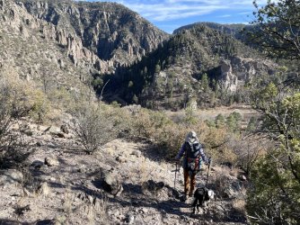
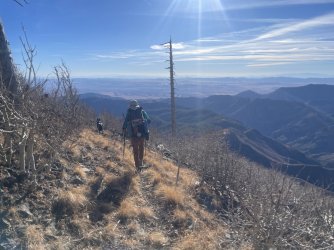
The 105 mile loop circled the Middle and West Fork and had elevations from 5700' to 10700'.
Hard to keep the base weight manageable when the temps range from low twenties to teens during the 13 hour long night.
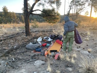
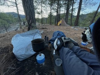
We ate a lot of calories and brewed hot drinks with a tiny wood stove all evening. To get going quickly in morning we also used the ubiquitous Windmaster Isobutane stove for breakie. Although I had to set an alarm an hour early to bring the canister inside the quilt so it worked well enough for the Via shot
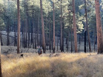
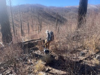
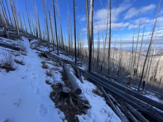
We packed for ten days but a fierce wind event on the Mogollon Crest forced us to speed things up and come out a day early. The huge burn scar from the 2022 fire left teetering dead trunks of massive conifers and slender aspen ready to topple. One night at West Fork saddle right around 10k' elevation had screaming wind, eerily resembling the siren song luring ancient sailors to their death.
22°F quilts, down jackets and a draft and wind proof shelter kept things somewhat comfy, although after a while the cold nights kinda got to us. On the other hand it was sometimes actually comfy from about 11am to 3 pm.
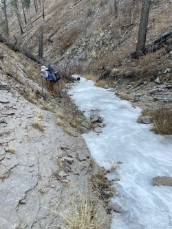
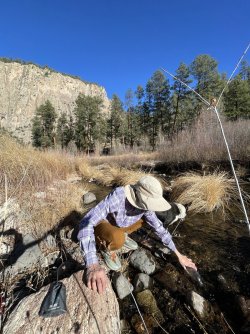
Water in the Gila is an issue, outside of the river canyons. We had all dry camps and hauled 3-4 liters each frequently. Especially since camping in the valleys and hollows where there might be a frozen puddle or two had such a severe cold sink effect that it was almost unreal.
We saw no one else for all nine days, plus not another car on the 50 mile dirt road drive to the trailhead. Also never experienced so few overhead flights, and total absence of distant lights. I guess 560.000 acres will help with that
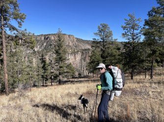
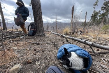
The 11 year old dog did great but also had a down coat and a cozy bivy with foam pad and a down filled canopy. He carried all his own food but nothing else
Leaving the Holiday craze behind with no cell service was pretty dope


Last edited:
