Ben
Member
- Joined
- Sep 12, 2014
- Messages
- 1,873
In July i spent six days doing a packraft trip in Gates of the Arctic National Park. I parked my bike on a pullout from the Dalton Highway, crossed the Dietrich River, spent two days hiking over a pass to the North Fork Koyukuk River, two and a half days floating the river, and then an extremely long day and a half hiking back over the mountains to the 'community' of Coldfoot, back on the highway, where i was able to get a ride back to my bike.
Click here to view on CalTopo
On the Dietrich River bar. The highway is just back in those trees there. I didn't see a name for this mountain on the topo.
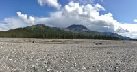
Looking South, down the Dietrich River.

Looking across the Dietrich, at Kuyuktuvuk Creek, where i'd be hiking in.
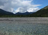
Looking back out of Kuyuktuvuk Creek.
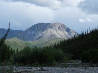
Kuyuktuvuk Creek. I mostly walked on gravel bars here. Attempting to walk through the forest never ended well.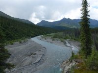
Still Kuyuktuvuk Creek. Farther up i would leave it for an unnamed drainage heading toward Alinement Creek on the other side of a pass. I stopped and ate as i neared that drainage, and when i began hiking again i saw the tail end of a white wolf running away from me.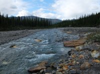
The unnamed drainage i mentioned previously.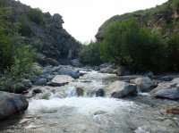
On occasion, i would meet an obstacle in the creek bed that would require going up and around. Walking on the brushy tundra was far less pleasant, and less effective. The ground was not very firm. Some times, to climb above the creek i'd have to pull my self up by the bushes.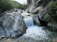
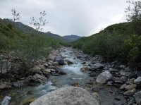
Some random narrows. I bypassed to the left here.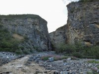
These tracks were common. I did also see other boot prints. This route was traveled enough to show that.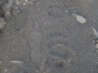
The sun 'going down' the first night. Above the Arctic Circle here.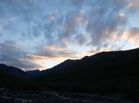
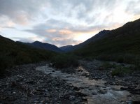
The next morning, not far from the pass.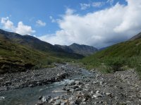
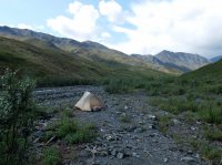
The pass bends around to the left of center. I left the creek bottom to cut a curve. Great walking at this elevation.
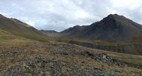
Nearing the pass.
I believe an immature bald eagle i caught flying through the valley.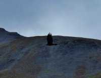
The pass it's self.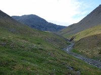
Looking back the way i'd come.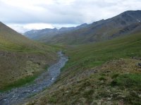
A small pond in the pass.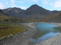
The way ahead, down Alinement Creek. Two Prong Mountain in the distance.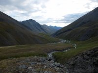
Cascades at the head of the drainage. This place was nice.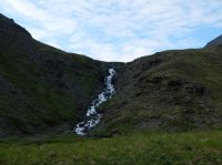
Not far below the pass.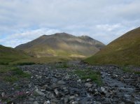
Bypassing some cliffs along Alinement Creek. Looking down at it. It's the middle of July. About 3000' elevation. You can see sheets of ice that remain from when the creek was frozen over.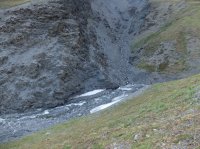
Alinement Creek.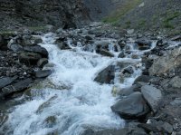
Alinement Creek. Things have started to flatten out here. It was rather steep in some places before. It was getting late.
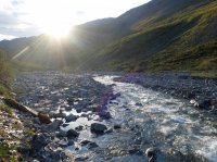
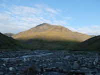
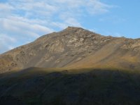
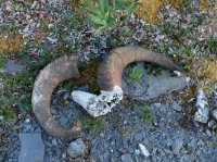
Still on Alinement Creek.
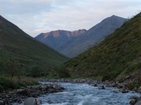
Two Prong Mountain. The North Fork Koyukuk is at it's base. I had to ascend quite a bit to bypass the cliffs you see on the left of this picture.
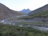
Some falls seen across the valley.
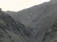
Looking down on Alinement Creek from above the cliffs.
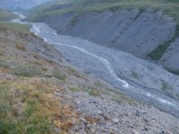
Two Prong Mountain. Nearing the confluence with the river.
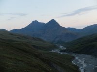
Closer.

Looking South. Mount Doonerak peaking over a shoulder on the right.
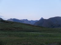
Two Prong Mountain. The river is just in a depression in front of me.
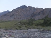
Looking South down the river. Wien Mountain. And my pack. This photo is zoomed in.
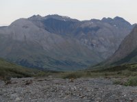
Close up of Two Prong.
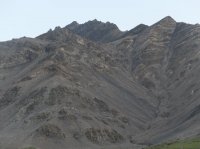
Wien Mountain, down the North Fork Koyukuk.
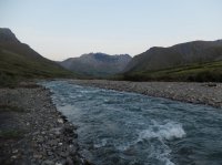
I camped here the second night.
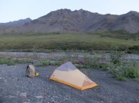
The next morning was considerably hazier, must have blown in from wild fires else where.

Looking North. The river comes from the valley left of center.
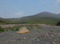
I'd read reports of people rafting this river, so i knew it was doable. But i wasn't sure just how difficult it would be. I'd read it rated a class III, but i am a beginner, and wasn't sure what to expect from that. It was a lot of fun. There were a lot of rocks in the upper stretches. Continuous class III. It demanded one's entire focus. Scary and exhilarating. My hands got tired from gripping the paddle so tightly. I was able to pull out a ways below Amawk Creek to dump water from the open raft. This picture is looking back East the way i'd come.
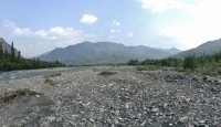
And this is looking West, Doonerak in view. Continuous class III boulder fields would be the norm all the way to Bombardment Creek. Beyond there things would open up and flatten out a little. The river would widen more and more.


On the river.
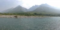

The water quite blue in some places.
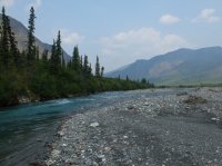
Doonerak again.
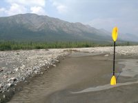
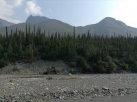
I kept going.
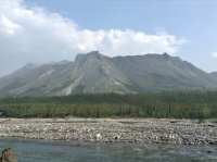
I believe this is about my first view of the namesake 'Gates of the Arctic', Frigid Crags on the right, and Boreal Mountain on the left. They were given their 'Gates ' moniker by Bob Marshall when he spent some time in the area. The name becomes move obvious later from the South side.
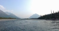
Frigid Crags.
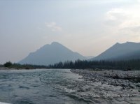
Back below tree line. The river is already much larger here. The most common difficulty at this point became choosing the best braid of the river to go down. There were still occasional small rapids, occasional boulders, and places where braids became too shallow. Some placer there were sweepers across smaller braids, and other places there were trees beached in the stream.
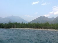
Boreal Mountain.
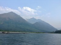
Frigid Crags again.
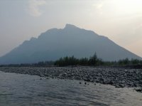
And again.


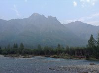
South of the Gates now, looking back to the North at them.

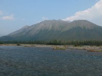
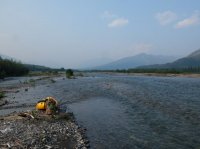
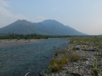
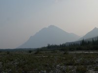
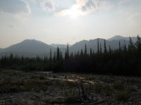
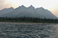
Beyond the boot prints this was the only sign of people i saw for six days. Well, and the planes flying to and from Deadhorse. I saw no people.
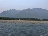
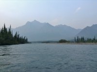

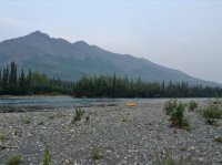
Camp the third night, after a good day on the river.
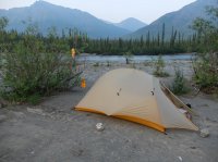

Day four, back on the river.

Red from a tributary.
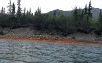
I stopped here to wait out a short but intense rain storm.
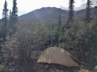
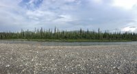
The valley began to really broaden.
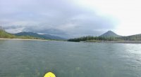
Looking North. Right center you can see the Gates of the Arctic, the large, distinct opening on the horizon.

Again. Wide River. It's slower here.
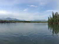
Red Star Mountain, just left of center.
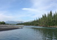
The river consuming a bank.
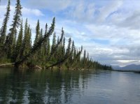
An other view looking back at the Gates of the Arctic.
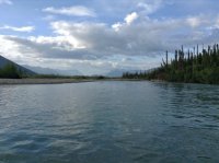
A storm coming in.
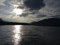
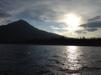
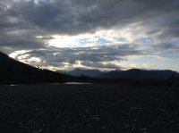

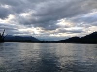
Late evening. I paddled till one or two am this second day on the river.
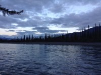
Day five. Back on it. Almost to my exit at Rock Creek.
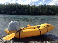
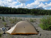
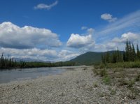
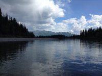
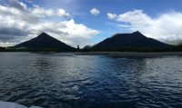
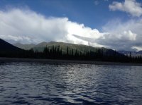
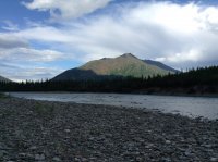
Some times it rained on me.
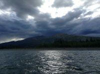
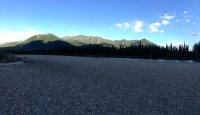
Rock Creek. I had only seen it on topo. Most people, and by that i mean any one i've ever read of doing this, stays on the river all the way down to Bettles and fly out from there. Do that. My route back to the highway was not worth the trouble, an incredible hassle, and i in no way recommend it to any one. I took it to avoid the beyond me costs of air taxi. There was often no space to walk alongside the creek. I began spending some time walking through the water in the creek bed. This was not what i had planned on.
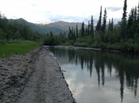
Continuing up Rock Creek. The vegetation is often too thick for walking outside of the creek.
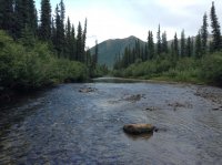
More of the same.
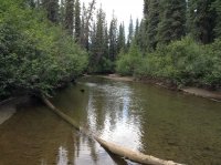
Eventually it began to rain in the late after noon. I tented up to stay dry, and ended up staying the night where i was. It kept raining the next day. It let up the next after noon. I cooked and ate and packed up. I had enough food left to cook one more meal and i was still quite a ways from the road. I started walking at may be four pm, walked through the night, and arrived where i was going at noon the next day.
I did not take pictures through the remainder of Rock Creek. I was more focused on getting to where i was going. The grade of Rock Creek eventually increased, and i was unable to walk in the bed for the swift cascading water and slippery rocks. Wading through the thick vegetation was a great pain, and it was all done on relatively steep slopes. Eventually, with some difficulty i made my way above the thicker vegetation. This way was longer, but more doable. It rained on me again, i got slightly wet. I made my last meal and continued on. Finally i came to the head of Rock Creek. It was 'night' at this point. I ascended a ridge above the drainage, and then followed ridges to the Middle Fork Koyukuk.

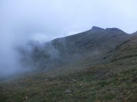
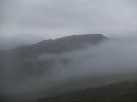
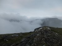
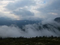
The low cloud ceiling.
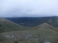
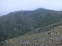
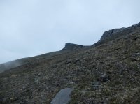
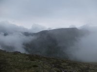
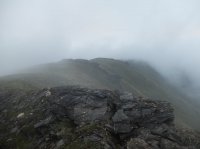
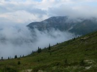
Mist was coming up in waves.
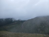
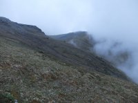
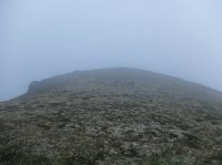
Once i made it to the top in the fog i navigated by my maps and keeping down on each side of me.
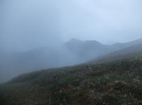
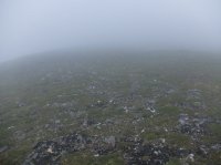
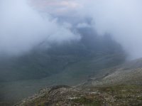
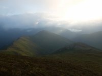
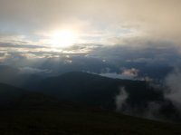
Finally i saw the sun again, confirmation i was going the right direction.
I came across this oddity.
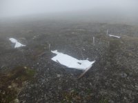
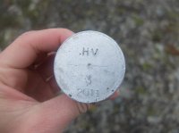
The ribbon of the Middle Fork Koyukuk came into view. The highway is just on the other side of it. I followed the ridge closer, and then made my way to it as quickly as i could.
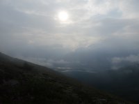
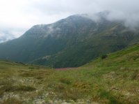
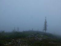
A little more fog.
And the river. Just a little bushwhacking.
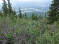
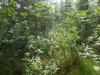
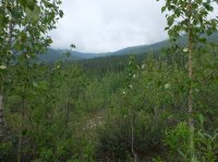
When i came to the river i was still about a mile or two up stream from Coldfoot. I inflated the raft again and floated the rest of the way down. Coldfoot is little more than a visitor center and a gas station. I waited at the turn off for a while there, and eventually got a ride back up to my bike from the state trooper/game warden stationed there. Super nice guy.
Here's a video of a moose swimming across the river in front of me taken with an ipod, from my raft, very late at night. This guy almost spooked me a little. When i first came up on it, it was about as dark as it gets there that time of year, and i'd been on the river a long time alone that day. The moose was standing directly ahead of me, right in the middle of the river in some shallows, looking straight at me. It ran away from me along the bank a ways, until the bank ran out, and then it took off across the river and ran into the trees.
Click here to view on CalTopo
On the Dietrich River bar. The highway is just back in those trees there. I didn't see a name for this mountain on the topo.

Looking South, down the Dietrich River.

Looking across the Dietrich, at Kuyuktuvuk Creek, where i'd be hiking in.

Looking back out of Kuyuktuvuk Creek.

Kuyuktuvuk Creek. I mostly walked on gravel bars here. Attempting to walk through the forest never ended well.

Still Kuyuktuvuk Creek. Farther up i would leave it for an unnamed drainage heading toward Alinement Creek on the other side of a pass. I stopped and ate as i neared that drainage, and when i began hiking again i saw the tail end of a white wolf running away from me.

The unnamed drainage i mentioned previously.

On occasion, i would meet an obstacle in the creek bed that would require going up and around. Walking on the brushy tundra was far less pleasant, and less effective. The ground was not very firm. Some times, to climb above the creek i'd have to pull my self up by the bushes.


Some random narrows. I bypassed to the left here.

These tracks were common. I did also see other boot prints. This route was traveled enough to show that.

The sun 'going down' the first night. Above the Arctic Circle here.


The next morning, not far from the pass.


The pass bends around to the left of center. I left the creek bottom to cut a curve. Great walking at this elevation.

Nearing the pass.

I believe an immature bald eagle i caught flying through the valley.

The pass it's self.

Looking back the way i'd come.

A small pond in the pass.

The way ahead, down Alinement Creek. Two Prong Mountain in the distance.

Cascades at the head of the drainage. This place was nice.

Not far below the pass.

Bypassing some cliffs along Alinement Creek. Looking down at it. It's the middle of July. About 3000' elevation. You can see sheets of ice that remain from when the creek was frozen over.

Alinement Creek.

Alinement Creek. Things have started to flatten out here. It was rather steep in some places before. It was getting late.


Still on Alinement Creek.

Two Prong Mountain. The North Fork Koyukuk is at it's base. I had to ascend quite a bit to bypass the cliffs you see on the left of this picture.

Some falls seen across the valley.

Looking down on Alinement Creek from above the cliffs.

Two Prong Mountain. Nearing the confluence with the river.

Closer.

Looking South. Mount Doonerak peaking over a shoulder on the right.

Two Prong Mountain. The river is just in a depression in front of me.

Looking South down the river. Wien Mountain. And my pack. This photo is zoomed in.

Close up of Two Prong.

Wien Mountain, down the North Fork Koyukuk.

I camped here the second night.

The next morning was considerably hazier, must have blown in from wild fires else where.

Looking North. The river comes from the valley left of center.

I'd read reports of people rafting this river, so i knew it was doable. But i wasn't sure just how difficult it would be. I'd read it rated a class III, but i am a beginner, and wasn't sure what to expect from that. It was a lot of fun. There were a lot of rocks in the upper stretches. Continuous class III. It demanded one's entire focus. Scary and exhilarating. My hands got tired from gripping the paddle so tightly. I was able to pull out a ways below Amawk Creek to dump water from the open raft. This picture is looking back East the way i'd come.

And this is looking West, Doonerak in view. Continuous class III boulder fields would be the norm all the way to Bombardment Creek. Beyond there things would open up and flatten out a little. The river would widen more and more.


On the river.


The water quite blue in some places.

Doonerak again.


I kept going.

I believe this is about my first view of the namesake 'Gates of the Arctic', Frigid Crags on the right, and Boreal Mountain on the left. They were given their 'Gates ' moniker by Bob Marshall when he spent some time in the area. The name becomes move obvious later from the South side.

Frigid Crags.

Back below tree line. The river is already much larger here. The most common difficulty at this point became choosing the best braid of the river to go down. There were still occasional small rapids, occasional boulders, and places where braids became too shallow. Some placer there were sweepers across smaller braids, and other places there were trees beached in the stream.

Boreal Mountain.

Frigid Crags again.

And again.


South of the Gates now, looking back to the North at them.


Beyond the boot prints this was the only sign of people i saw for six days. Well, and the planes flying to and from Deadhorse. I saw no people.


Camp the third night, after a good day on the river.


Day four, back on the river.

Red from a tributary.

I stopped here to wait out a short but intense rain storm.


The valley began to really broaden.

Looking North. Right center you can see the Gates of the Arctic, the large, distinct opening on the horizon.

Again. Wide River. It's slower here.

Red Star Mountain, just left of center.

The river consuming a bank.

An other view looking back at the Gates of the Arctic.

A storm coming in.


Late evening. I paddled till one or two am this second day on the river.

Day five. Back on it. Almost to my exit at Rock Creek.


Some times it rained on me.


Rock Creek. I had only seen it on topo. Most people, and by that i mean any one i've ever read of doing this, stays on the river all the way down to Bettles and fly out from there. Do that. My route back to the highway was not worth the trouble, an incredible hassle, and i in no way recommend it to any one. I took it to avoid the beyond me costs of air taxi. There was often no space to walk alongside the creek. I began spending some time walking through the water in the creek bed. This was not what i had planned on.

Continuing up Rock Creek. The vegetation is often too thick for walking outside of the creek.

More of the same.

Eventually it began to rain in the late after noon. I tented up to stay dry, and ended up staying the night where i was. It kept raining the next day. It let up the next after noon. I cooked and ate and packed up. I had enough food left to cook one more meal and i was still quite a ways from the road. I started walking at may be four pm, walked through the night, and arrived where i was going at noon the next day.
I did not take pictures through the remainder of Rock Creek. I was more focused on getting to where i was going. The grade of Rock Creek eventually increased, and i was unable to walk in the bed for the swift cascading water and slippery rocks. Wading through the thick vegetation was a great pain, and it was all done on relatively steep slopes. Eventually, with some difficulty i made my way above the thicker vegetation. This way was longer, but more doable. It rained on me again, i got slightly wet. I made my last meal and continued on. Finally i came to the head of Rock Creek. It was 'night' at this point. I ascended a ridge above the drainage, and then followed ridges to the Middle Fork Koyukuk.

The low cloud ceiling.


Mist was coming up in waves.

Once i made it to the top in the fog i navigated by my maps and keeping down on each side of me.


Finally i saw the sun again, confirmation i was going the right direction.


I came across this oddity.


The ribbon of the Middle Fork Koyukuk came into view. The highway is just on the other side of it. I followed the ridge closer, and then made my way to it as quickly as i could.


A little more fog.

And the river. Just a little bushwhacking.


When i came to the river i was still about a mile or two up stream from Coldfoot. I inflated the raft again and floated the rest of the way down. Coldfoot is little more than a visitor center and a gas station. I waited at the turn off for a while there, and eventually got a ride back up to my bike from the state trooper/game warden stationed there. Super nice guy.
Here's a video of a moose swimming across the river in front of me taken with an ipod, from my raft, very late at night. This guy almost spooked me a little. When i first came up on it, it was about as dark as it gets there that time of year, and i'd been on the river a long time alone that day. The moose was standing directly ahead of me, right in the middle of the river in some shallows, looking straight at me. It ran away from me along the bank a ways, until the bank ran out, and then it took off across the river and ran into the trees.
Last edited:
