- Joined
- Dec 23, 2013
- Messages
- 4,166
I drove up from Salt Lake on August 8th to meet @Bob and @TractorDoc at the Specimen Creek Trailhead in Yellowstone National Park. We had planned a five day trip that incorporated the southern half of the Gallatin Crest Trail in the Gallatin National Forest, and then crossing over into Yellowstone along the Skyrim Trail before heading out along Specimen Creek.
I arrived at trails end around 4:00 pm with @TractorDoc already there waiting for me. Bob was soon to follow, and we all hopped in Bob's truck to head to the Upper Portal Trailhead to start our trip.
The Upper Portal Trail head is located east of Big Sky Montana, and Bob had to negotiate a rough Forest Service Road to get us there. A big thanks to Bob's wife for tagging along and driving the truck back down the road and on home.
Here is our story - some of it made up and some of it is true. I leave it up to you to determine which is which:
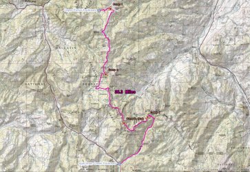
Overview Map
Day 1 - To Windy Pass
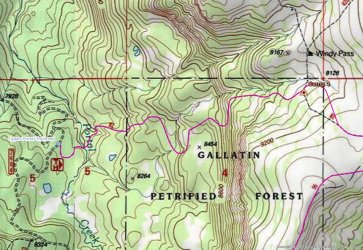
Day 1 Map
We arrived at Upper Portal just before 6:00 pm and soon set off for Windy Pass which would be our first night's campsite. I think it was a little over two miles to the meadows along Windy Pass, mostly climbing to get there. Turns our that it was good practice for what lay ahead for the rest of our trip.
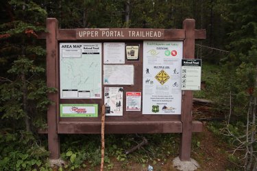
Upper Portal Tailhead information sign
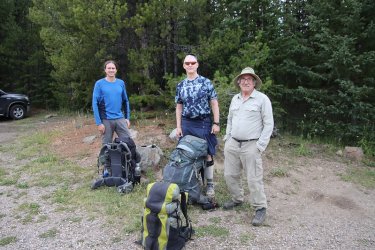
Ready as we will ever be.
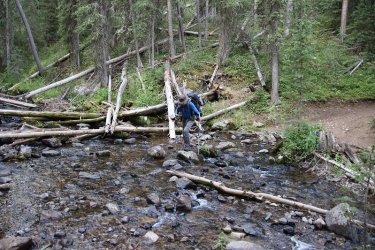
Crossing Portal Creek right off the bat
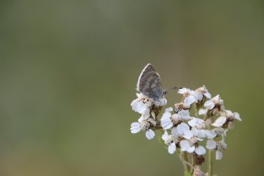
A yarrow pollinator
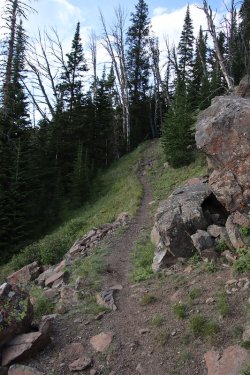
Typical of the trail up to Windy Pass
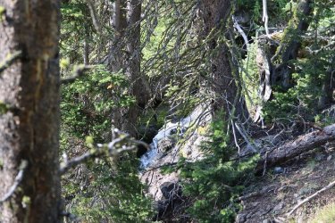
Small falls on a tributary of Portal Creek
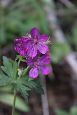
Sticky geraniums along the trail
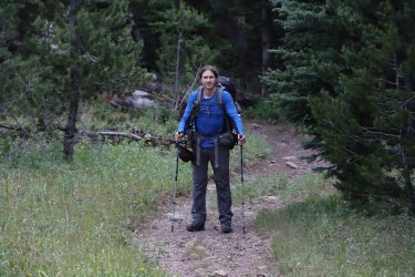
Tractordoc breaks out into the meadows along Windy Pass
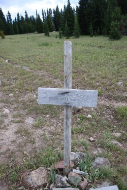
Trail junction sign
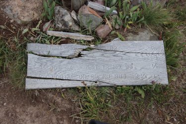
Other part of the sign on the ground
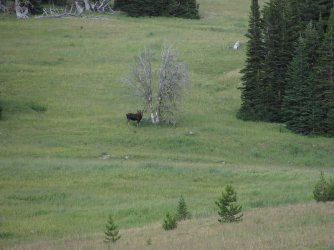
A moose is loose
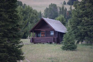
Windy Pass patrol cabin
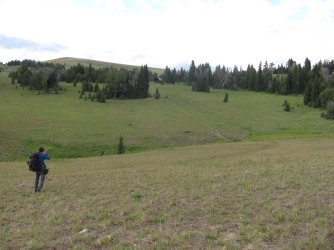
Dave getting a picture of the patrol cabin
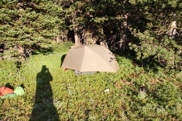
My home for the evening
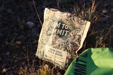
A little green chile mac & cheese for dinner
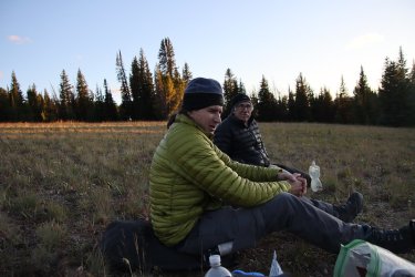
My dinner companions
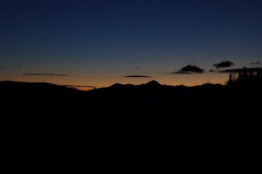
Sunset from Windy Pass
Day 2 - Windy Pass to Ramshorn Lake
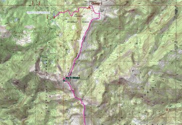
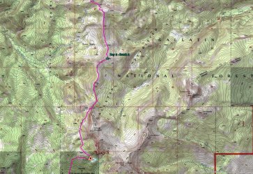
Day 2 Maps
Day two began three straight days with a lot of up and down to it. It had frosted overnight so it was a little chilly until the sun found us. After eating some breakfast it was time to head to Ramshorn Lake. Throughout the day, we could see Ramshorn Peak and knew that the lake was below the peak, so we knew what we were driving to. I might mention that the weather for this trip was perfect, maybe a little warm on our last day, but otherwise overcast for the most part which was great for hiking. We had no rain, and visibility was excellent with no smoke to be had.
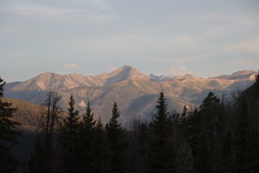
Early morning view from camp
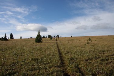
A little uphill to the official pass
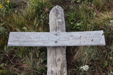
Sign down at the pass. Looks like they call it the Divide instead of the Crest Trail
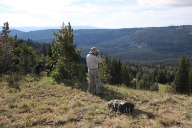
Bob, taking some pictures looking across the Big Creek drainage
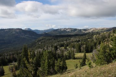
View to the upper end of the Big Creek drainage and they way we are heading
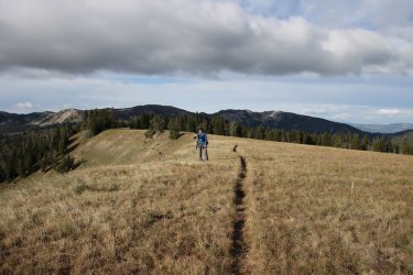
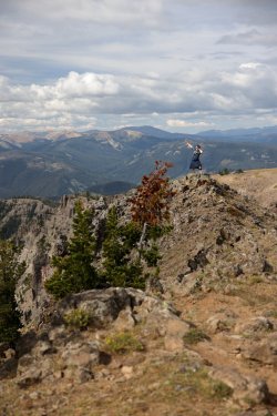
Dave on the crest/divide. Is he taking a picture of me?
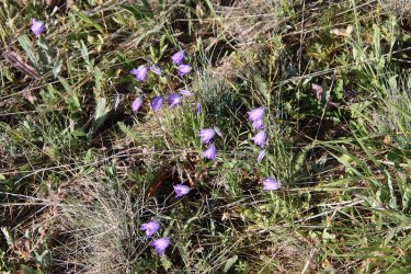
Harebells were plentiful on this trip
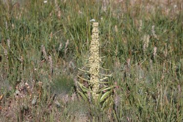
Monument plant
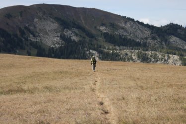
Bob, contemplating our fist big hill of the day ahead
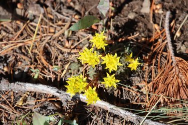
Some stonecrop
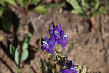
And larkspur
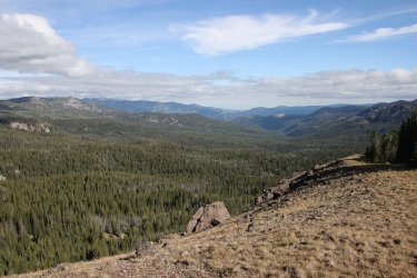
A look of the ridge the other way, down into the Portal Creek drainage. The rough Forest Service Road that we took to get to the
trailhead is down there somewhere.
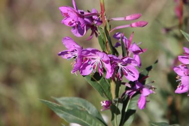
Fireweed
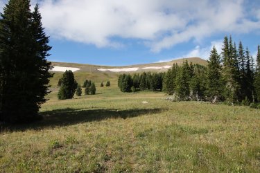
Some lingering snow ahead. We'll be climbing the hill to the right of the snowfields
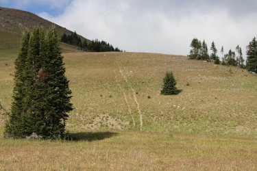
One of many of @Bob 's horse trails on this trip - no switchbacks, just straight up the hill
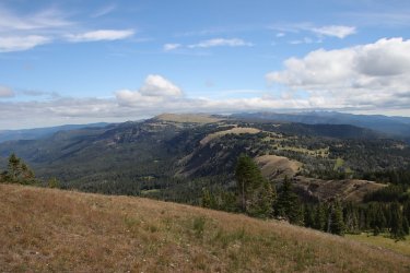
The view from the top of the hill we just climbed, looking back at where we have come from. If you squint really hard, you might
just be able to see the patrol cabin at Windy Pass.
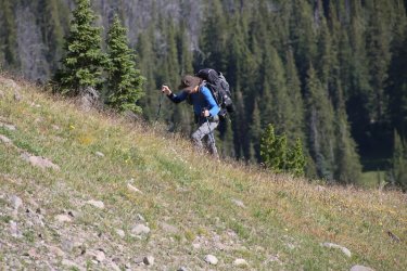
@TractorDoc digging in making his way up the hill. At this point he doesn't know it, but I put a good sized piece of petrified wood
in his pack to slow him down.
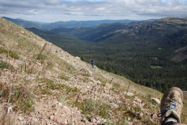
Almost to the top of the ridge, with a Scatfoot for scale.
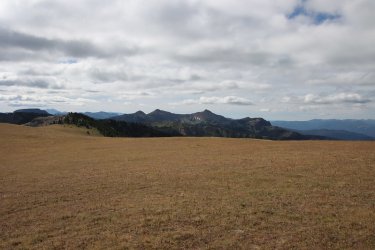
Ramshorn Peak and Twin Peaks ahead
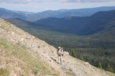
Bob on the hill
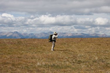
Bob on top, with peaks in the Lee Metcalf Wilderness in the distance
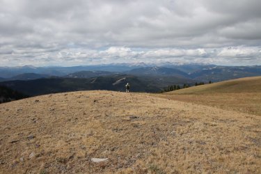
More Bob
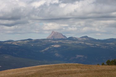
Sphinx Mountain to the west
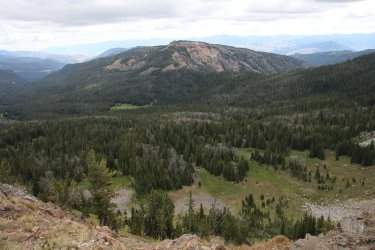
View down into the Rock Creek drainage
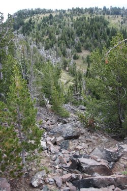
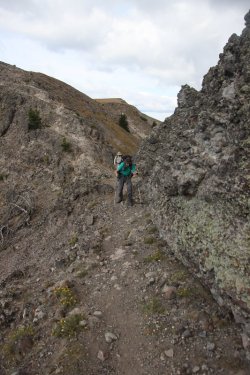
This is where we lost the trail and had to scramble a bit
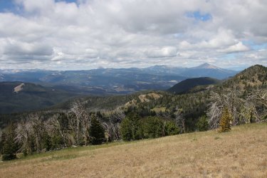
Back on track at this point with a view to the west of Sphinx Mountain and Lone Peak
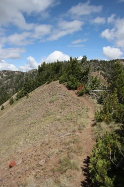
The Crest/Divide Trail
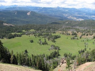
Onion Basin below
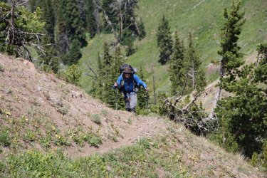
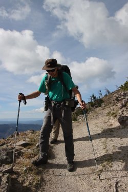
Digging in on yet another hill. How's that petrified wood treating you?
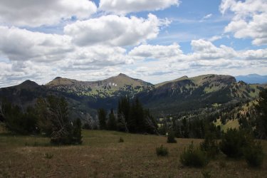
Ramshorn is getting closer. At least I hope it is.
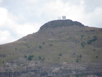
Mountain goats on one of the Twin Peaks
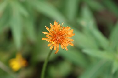
A mountain dandelion
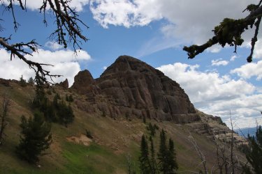
Getting ready to drop down to Ramshorn Lake with Fortress Mountain above. I think I named this pass Kracatoa Pass after my
newly purchased underwear.
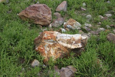
Looks like @TractorDoc finally took that piece of petrified wood out of his pack!
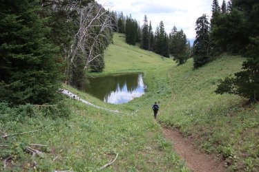
Passing a pond on our way to Ramshorn
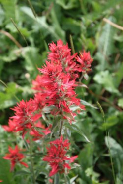
Paintbrush
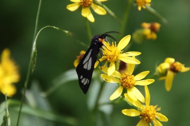
A police car moth on some ragweed
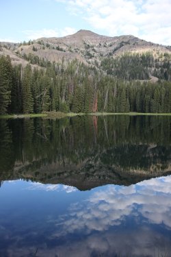
Ramshorn Peak and lake
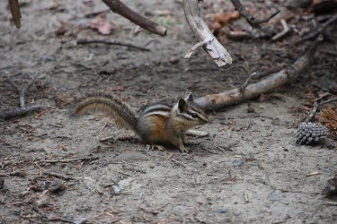
A chipmunk at camp
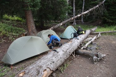
Our campsite for the evening at the lake

Dinner for night number two.
I might mention, that there was a pit toilet at the lake that I assume was to be shared by all the campsites at the lake. I went to use it and found it in a dilapidated state. I had to use my trowel to remove the dirt that kept the door from opening. There was no roof covering the toilet anymore, and the toilet seat had a nice layer of thin moss to cushion ones derriere. Once I stepped inside, it felt like the floor was going to collapse. I kept ahold of the door frame while using the facilities just in case I need to launch myself incase the floor gave way. And somehow, I never took a picture of it! I take pictures of everything, but somehow let this slip. I'm losing my edge @Rockskipper . Maybe @TractorDoc got a picture of the historic structure. If so, add it to the report.
Day 3 - Ramshorn Lake to a dry campsite near unnamed peak 9688 at the head of Tom Miner Creek
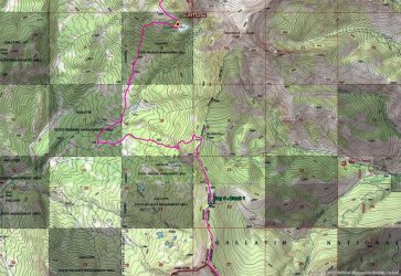
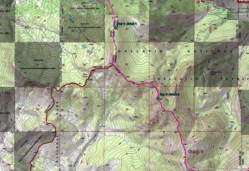
Day 3 Maps
More up and down today, so we got an early start. At first we would drop down from Ramshorn Lake before working our way back up to the ridge at Buffalo Horn Pass. From there we would head south to the next pass where Bob had previously stashed three gallons of water for us to pick up to counter a dry stretch of the ridge ahead. After pickup the water, we headed towards our next campsite which would be a dry one, near the headwaters of Tom Miner Creek.
I'm pretty sure that @Rockskipper said she'd have a busker perform for us at the halfway point, but if she did he/she must have gotten lost because we never saw one. And to think I had plenty of single dollar bills to put in their hat for entertaining us.
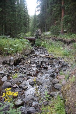
After dropping down from Ramshorn, we had to cross Buffalo Horn Creek
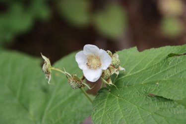
Thimbleberry
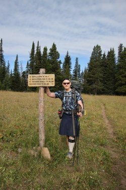
Arriving at Buffalo Horn Pass
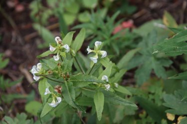
Sickletop lousewort
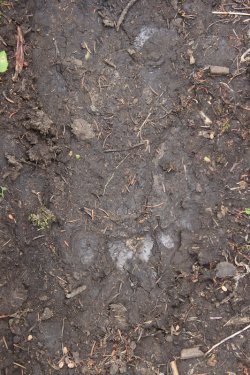
Grizzly track on the trail
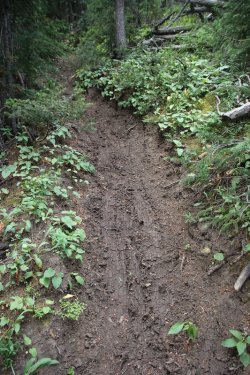
A steep part of the trail and you can see by the skid marks that the grizzly wasn't able
to get any taction on the previously wet trail. How would you have liked to be hiking
up the trial at this point as it was sliding down towards you?
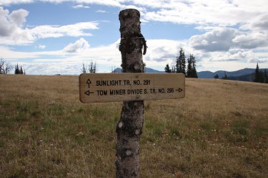
Trail junction
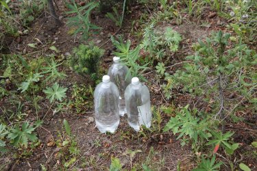
3 two liter bottles to take for the next two days
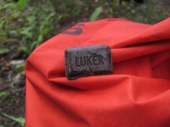
75% cacao
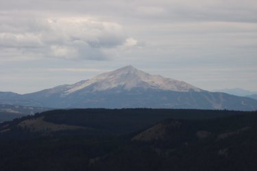
Lone Peak
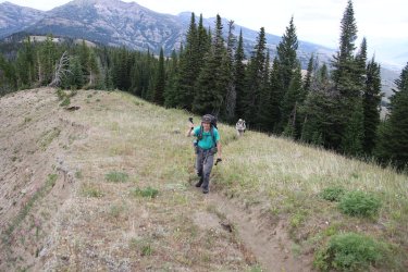
Up another hill. Hey, is he taking a picture of me?
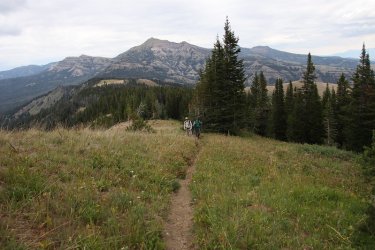
(L-R) Fortress Mountain and Ramshorn Peak in the background now
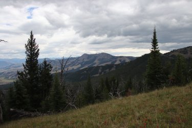
Sheep Mountain in the distance
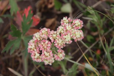
Sulphur buckwheat
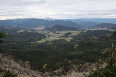
A look down into Yellowstone National Park - the northwest corner of the park
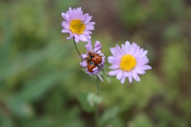
Two ladybugs enjoying some fleabane
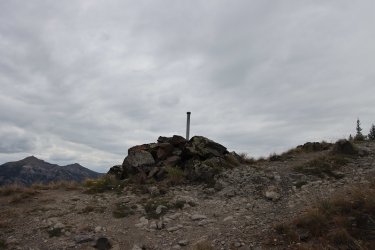
Boundary post
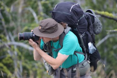
Action shot
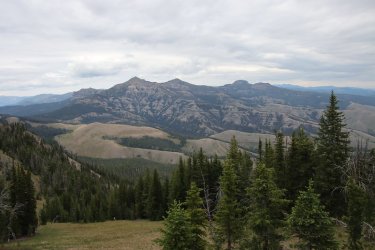
Fortress Mountain, Ramshorn Peak, Twin Peaks and Steamboat Mountain to the north
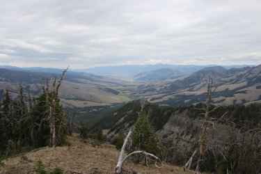
A look down into Tom Miner Basin with Paradise Valley beyond
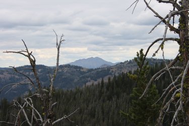
Electric Peak in the distance
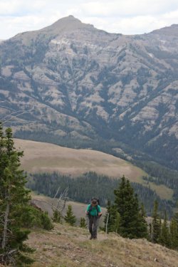
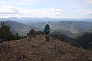
Dave and Ramshorn on yet another hill climb
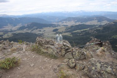
Break time on unnamed peak 9536
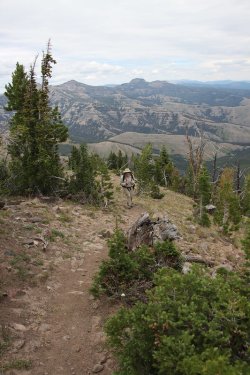
Bob reaching the top
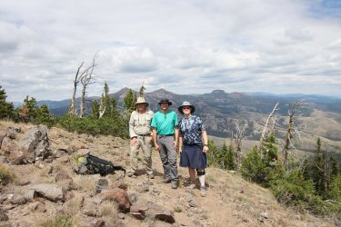
A trail runner took this infamous shot for us. No running in grizzly country!
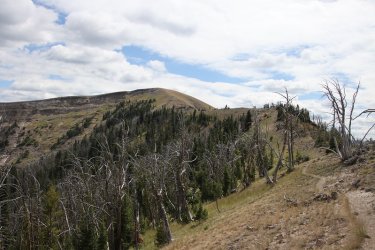
Up on top of the big hill ahead is where we will camp for the night
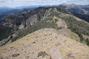
Making our way to the top. Can you see Bob and Dave?
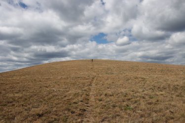
Dave, heading down to camp
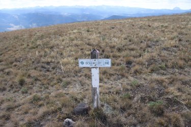
We staked our claim on the Forest Service side, I think?
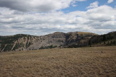
The north side of Bighorn Peak, which awaits us for tomorrow.
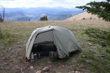
Once again, my home for the night
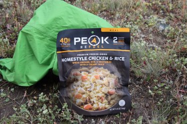
And my dinner. This meal is one of my favorites, but this time it had no taste to it, very bland. I was very disappointed.
Day 4 - Unnamed Peak 9688 to park boundary above Shelf Lake
Day four would be our shortest of the trip, but would include the steepest climb, up Bighorn Peak. And since we didn't have reservations for a campsite in the Park, our campsite would be up above Shelf Lake on the Forest Service side of the boundary with Shelf Lake being our water supply.
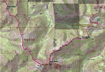
Day 4 Map
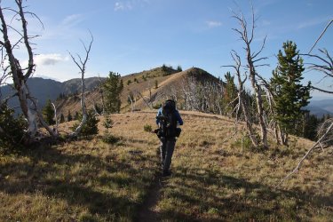
A couple hills before tackling Bighorn. Bob got an early start this morning. Can you see him on top of the first hill ahead?
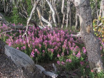
A patch of fireweed
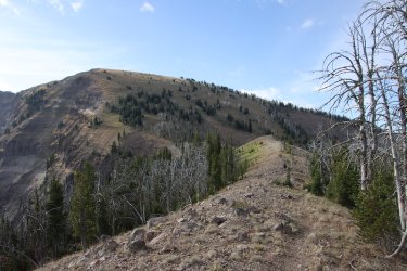
Bighorn ahead
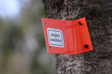
Is this to butter me up before the big climb?
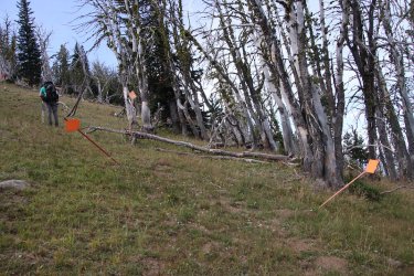
A few markers near the bottom of the climb, but the trail disappeared with no more markers so it was essentially straight up.
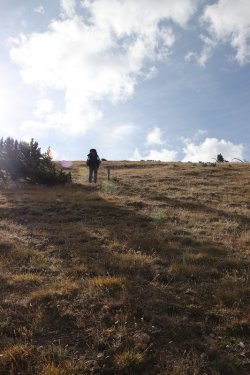
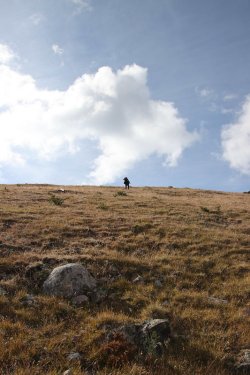
Dave out in front.
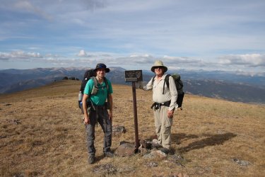
Summit of Bighorn
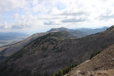
The rest of the way to Sheep Mountain, viewed from the summit of Bighorn
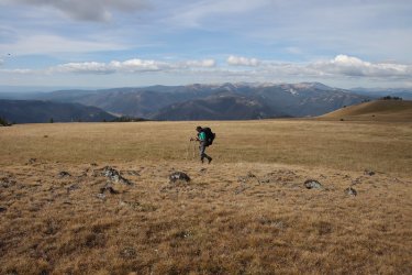
Dave, making his way to the cliffy area
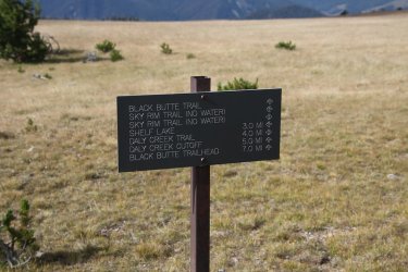
Mileage sign
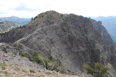
The wickiup portion of our day
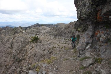
Some exposure to deal with on this section
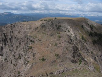
Looking back at Bighorn
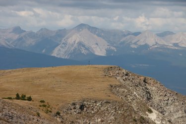
Summit sign that we were at earlier
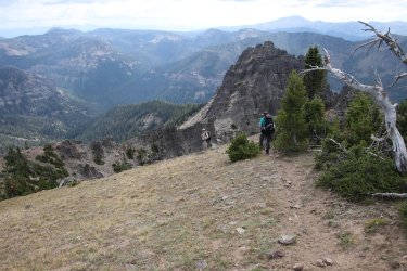
Dropping down off the cliffy part
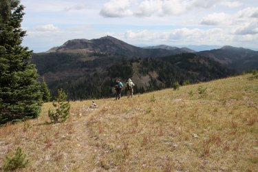
Sheep Mountain ahead
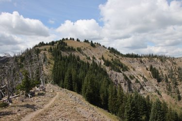
Some hills left to get there though
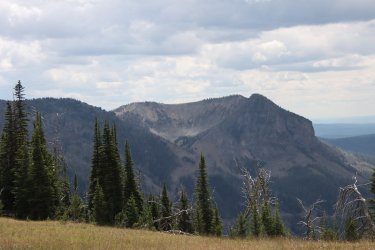
The north side of Meldrum Mountain in Yellowstone
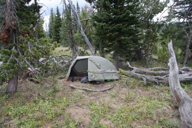
My tent is pitched
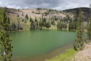
We headed down to Shelf Lake to replenish our water supply
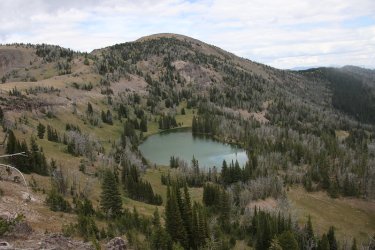
View of Shelf Lake from above
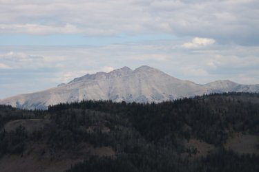
Electric Peak
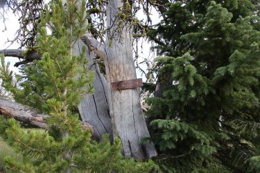
Old boundary marker. I thought these were cool
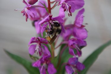
Bumblebee enjoying some fireweed at camp
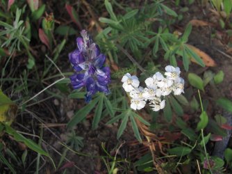
Lupine and yarrow - live together in perfect harmony.
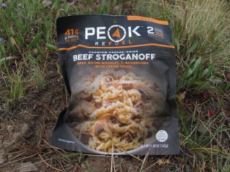
Dinner for night 4
Day 5 - Park Boundary above Shelf Lake to the Specimen Creek Trailhead
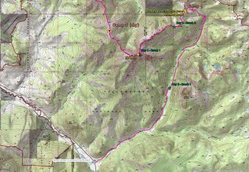
Day 5 Map
Day five should have been the easiest of the trip which was essentially all downhill. The problem with that though was that my right knee (supposed to be my good knee) wasn't going along with the descents, so it was a rough go for me dropping down the North Fork from Shelf Lake. Of course, fresh huckleberries and currants helped take my mind off my knee on the way down.
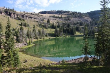
A return to Shelf Lake on our way down
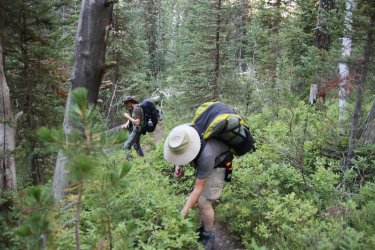
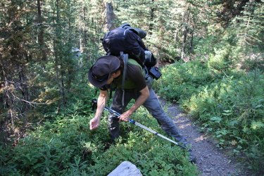
Huckleberry time
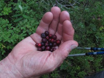
Delicious!
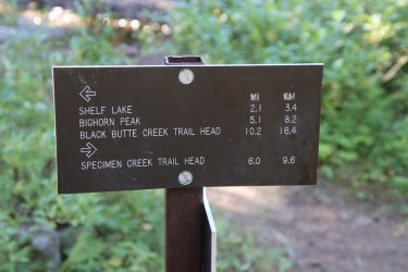
Junction with the trail up to Crescent Lake
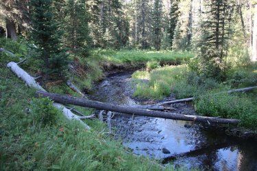
North Fork
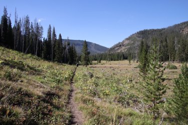
Opening up to some meadows
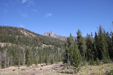
Lookin back up to where we were the day before on the Skyrim
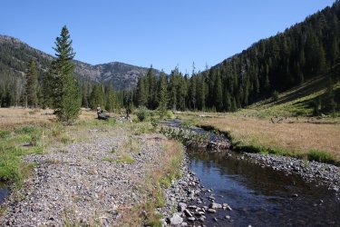
Crossing the North Fork. We took our last break of the trip near here
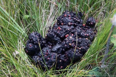
Bear scat
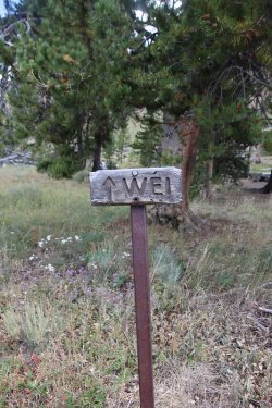
Passing by campsite WE1 on Specimen Creek where I stayed last fall for three nights
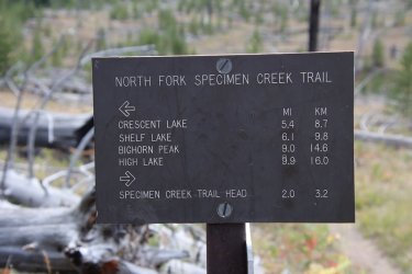
Mileage sign at trail junction for Sportsman Lake
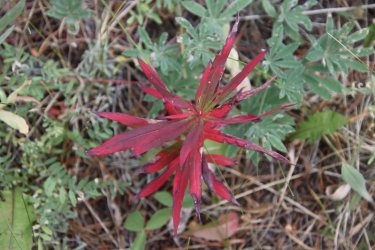
Fall colors sneaking in
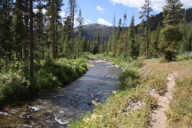
Specimen Creek
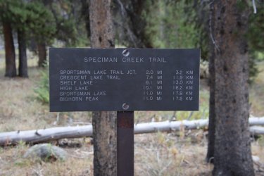
Mileage sign near trailhead
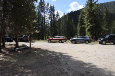
Back at the Sube!
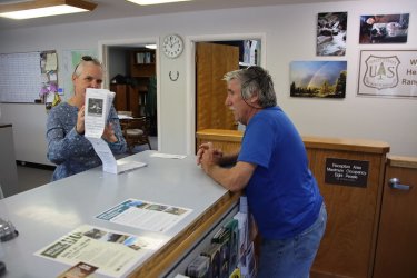
Bob, letting the head ranger at the Hebgen Lake Ranger Station no what is what. We stopped in to buy a Forest Service Map, but
were unable to purchase one. No map for Scatman!
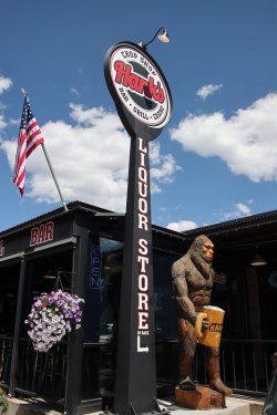
It was then on to West Yellowstone to celebrate completing the trip.
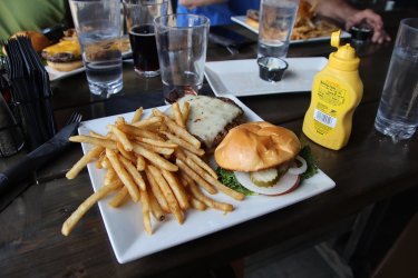
With a bison burger and fries at Hank's

Now that's a big mouth.
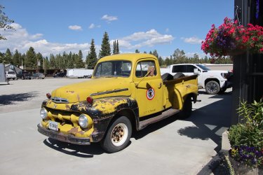
Cool truck outside of Hank's
Well, another great trip in the books. We couldn't have asked for better conditions on this one. Larger wildlife was scarce though, only seeing the moose on day one. Thanks to Bob and Dave for letting me tag along on this one.
The End.
I arrived at trails end around 4:00 pm with @TractorDoc already there waiting for me. Bob was soon to follow, and we all hopped in Bob's truck to head to the Upper Portal Trailhead to start our trip.
The Upper Portal Trail head is located east of Big Sky Montana, and Bob had to negotiate a rough Forest Service Road to get us there. A big thanks to Bob's wife for tagging along and driving the truck back down the road and on home.
Here is our story - some of it made up and some of it is true.

Overview Map
Day 1 - To Windy Pass

Day 1 Map
We arrived at Upper Portal just before 6:00 pm and soon set off for Windy Pass which would be our first night's campsite. I think it was a little over two miles to the meadows along Windy Pass, mostly climbing to get there. Turns our that it was good practice for what lay ahead for the rest of our trip.

Upper Portal Tailhead information sign

Ready as we will ever be.

Crossing Portal Creek right off the bat

A yarrow pollinator

Typical of the trail up to Windy Pass

Small falls on a tributary of Portal Creek

Sticky geraniums along the trail

Tractordoc breaks out into the meadows along Windy Pass

Trail junction sign

Other part of the sign on the ground

A moose is loose

Windy Pass patrol cabin

Dave getting a picture of the patrol cabin

My home for the evening

A little green chile mac & cheese for dinner

My dinner companions

Sunset from Windy Pass
Day 2 - Windy Pass to Ramshorn Lake


Day 2 Maps
Day two began three straight days with a lot of up and down to it. It had frosted overnight so it was a little chilly until the sun found us. After eating some breakfast it was time to head to Ramshorn Lake. Throughout the day, we could see Ramshorn Peak and knew that the lake was below the peak, so we knew what we were driving to. I might mention that the weather for this trip was perfect, maybe a little warm on our last day, but otherwise overcast for the most part which was great for hiking. We had no rain, and visibility was excellent with no smoke to be had.

Early morning view from camp

A little uphill to the official pass

Sign down at the pass. Looks like they call it the Divide instead of the Crest Trail

Bob, taking some pictures looking across the Big Creek drainage

View to the upper end of the Big Creek drainage and they way we are heading

Dave on the crest/divide. Is he taking a picture of me?

Harebells were plentiful on this trip

Monument plant

Bob, contemplating our fist big hill of the day ahead

Some stonecrop

And larkspur

A look of the ridge the other way, down into the Portal Creek drainage. The rough Forest Service Road that we took to get to the
trailhead is down there somewhere.

Fireweed

Some lingering snow ahead. We'll be climbing the hill to the right of the snowfields

One of many of @Bob 's horse trails on this trip - no switchbacks, just straight up the hill

The view from the top of the hill we just climbed, looking back at where we have come from. If you squint really hard, you might
just be able to see the patrol cabin at Windy Pass.

@TractorDoc digging in making his way up the hill. At this point he doesn't know it, but I put a good sized piece of petrified wood
in his pack to slow him down.

Almost to the top of the ridge, with a Scatfoot for scale.

Ramshorn Peak and Twin Peaks ahead

Bob on the hill

Bob on top, with peaks in the Lee Metcalf Wilderness in the distance

More Bob

Sphinx Mountain to the west

View down into the Rock Creek drainage

This is where we lost the trail and had to scramble a bit

Back on track at this point with a view to the west of Sphinx Mountain and Lone Peak

The Crest/Divide Trail

Onion Basin below

Digging in on yet another hill. How's that petrified wood treating you?

Ramshorn is getting closer. At least I hope it is.

Mountain goats on one of the Twin Peaks

A mountain dandelion

Getting ready to drop down to Ramshorn Lake with Fortress Mountain above. I think I named this pass Kracatoa Pass after my
newly purchased underwear.

Looks like @TractorDoc finally took that piece of petrified wood out of his pack!

Passing a pond on our way to Ramshorn

Paintbrush

A police car moth on some ragweed

Ramshorn Peak and lake

A chipmunk at camp

Our campsite for the evening at the lake

Dinner for night number two.
I might mention, that there was a pit toilet at the lake that I assume was to be shared by all the campsites at the lake. I went to use it and found it in a dilapidated state. I had to use my trowel to remove the dirt that kept the door from opening. There was no roof covering the toilet anymore, and the toilet seat had a nice layer of thin moss to cushion ones derriere. Once I stepped inside, it felt like the floor was going to collapse. I kept ahold of the door frame while using the facilities just in case I need to launch myself incase the floor gave way. And somehow, I never took a picture of it! I take pictures of everything, but somehow let this slip. I'm losing my edge @Rockskipper . Maybe @TractorDoc got a picture of the historic structure. If so, add it to the report.
Day 3 - Ramshorn Lake to a dry campsite near unnamed peak 9688 at the head of Tom Miner Creek


Day 3 Maps
More up and down today, so we got an early start. At first we would drop down from Ramshorn Lake before working our way back up to the ridge at Buffalo Horn Pass. From there we would head south to the next pass where Bob had previously stashed three gallons of water for us to pick up to counter a dry stretch of the ridge ahead. After pickup the water, we headed towards our next campsite which would be a dry one, near the headwaters of Tom Miner Creek.
I'm pretty sure that @Rockskipper said she'd have a busker perform for us at the halfway point, but if she did he/she must have gotten lost because we never saw one. And to think I had plenty of single dollar bills to put in their hat for entertaining us.

After dropping down from Ramshorn, we had to cross Buffalo Horn Creek

Thimbleberry

Arriving at Buffalo Horn Pass

Sickletop lousewort

Grizzly track on the trail

A steep part of the trail and you can see by the skid marks that the grizzly wasn't able
to get any taction on the previously wet trail. How would you have liked to be hiking
up the trial at this point as it was sliding down towards you?

Trail junction

3 two liter bottles to take for the next two days

75% cacao

Lone Peak

Up another hill. Hey, is he taking a picture of me?

(L-R) Fortress Mountain and Ramshorn Peak in the background now

Sheep Mountain in the distance

Sulphur buckwheat

A look down into Yellowstone National Park - the northwest corner of the park

Two ladybugs enjoying some fleabane

Boundary post

Action shot

Fortress Mountain, Ramshorn Peak, Twin Peaks and Steamboat Mountain to the north

A look down into Tom Miner Basin with Paradise Valley beyond

Electric Peak in the distance

Dave and Ramshorn on yet another hill climb

Break time on unnamed peak 9536

Bob reaching the top

A trail runner took this infamous shot for us. No running in grizzly country!

Up on top of the big hill ahead is where we will camp for the night

Making our way to the top. Can you see Bob and Dave?

Dave, heading down to camp

We staked our claim on the Forest Service side, I think?

The north side of Bighorn Peak, which awaits us for tomorrow.

Once again, my home for the night

And my dinner. This meal is one of my favorites, but this time it had no taste to it, very bland. I was very disappointed.
Day 4 - Unnamed Peak 9688 to park boundary above Shelf Lake
Day four would be our shortest of the trip, but would include the steepest climb, up Bighorn Peak. And since we didn't have reservations for a campsite in the Park, our campsite would be up above Shelf Lake on the Forest Service side of the boundary with Shelf Lake being our water supply.

Day 4 Map

A couple hills before tackling Bighorn. Bob got an early start this morning. Can you see him on top of the first hill ahead?

A patch of fireweed

Bighorn ahead

Is this to butter me up before the big climb?

A few markers near the bottom of the climb, but the trail disappeared with no more markers so it was essentially straight up.


Dave out in front.

Summit of Bighorn

The rest of the way to Sheep Mountain, viewed from the summit of Bighorn

Dave, making his way to the cliffy area

Mileage sign

The wickiup portion of our day

Some exposure to deal with on this section

Looking back at Bighorn

Summit sign that we were at earlier

Dropping down off the cliffy part

Sheep Mountain ahead

Some hills left to get there though

The north side of Meldrum Mountain in Yellowstone

My tent is pitched

We headed down to Shelf Lake to replenish our water supply

View of Shelf Lake from above

Electric Peak

Old boundary marker. I thought these were cool

Bumblebee enjoying some fireweed at camp

Lupine and yarrow - live together in perfect harmony.

Dinner for night 4
Day 5 - Park Boundary above Shelf Lake to the Specimen Creek Trailhead

Day 5 Map
Day five should have been the easiest of the trip which was essentially all downhill. The problem with that though was that my right knee (supposed to be my good knee) wasn't going along with the descents, so it was a rough go for me dropping down the North Fork from Shelf Lake. Of course, fresh huckleberries and currants helped take my mind off my knee on the way down.

A return to Shelf Lake on our way down


Huckleberry time

Delicious!

Junction with the trail up to Crescent Lake

North Fork

Opening up to some meadows

Lookin back up to where we were the day before on the Skyrim

Crossing the North Fork. We took our last break of the trip near here

Bear scat

Passing by campsite WE1 on Specimen Creek where I stayed last fall for three nights

Mileage sign at trail junction for Sportsman Lake

Fall colors sneaking in

Specimen Creek

Mileage sign near trailhead

Back at the Sube!

Bob, letting the head ranger at the Hebgen Lake Ranger Station no what is what. We stopped in to buy a Forest Service Map, but
were unable to purchase one. No map for Scatman!

It was then on to West Yellowstone to celebrate completing the trip.

With a bison burger and fries at Hank's

Now that's a big mouth.

Cool truck outside of Hank's
Well, another great trip in the books. We couldn't have asked for better conditions on this one. Larger wildlife was scarce though, only seeing the moose on day one. Thanks to Bob and Dave for letting me tag along on this one.
The End.

