Gaia GPS no longer supporting National Geographic Maps

TrailScot

Member
.
Joined
Dec 2, 2019
Messages
180
It appears that Gaia GPS no longer offer National Geographic Trails Illustrated maps as an optional mapping layer, which is really disappointing. Alongside the now very buggy route creation feature, the application is no longer what it was, unfortunately.
 
Hmmmm ..... but i dont use either. I have used Caltopo for many years
 
Last edited:
I haven't used the national geographic maps much but I've been considering getting rid of Gaia for a little while now. I've also noticed the route creation being buggy for awhile now. As well as very incorrect elevation gain/loss data when building routes. I've even noticed it giving wildly different numbers when creating the exact same route on the app vs the web version.
 
I'll be getting rid of it when my current subscription is up.

I don't use the Nat Geo maps all that much; they can be helpful for double checking campsite locations or camp boundaries on NPS permitted trips. Every year though, the services get worse & the price is double what it was when I started.

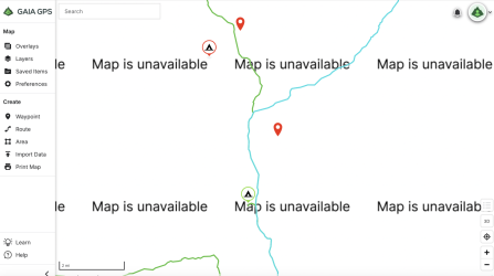
$60/year for this:
Screenshot 2025-06-04 at 4.00.49 PM.png
 
I'll be getting rid of it when my current subscription is up.

I don't use the Nat Geo maps all that much; they can be helpful for double checking campsite locations or camp boundaries on NPS permitted trips. Every year though, the services get worse & the price is double what it was when I started.

$60/year for this:

This is from the Gaia website, justifying the removal:

"Outdoor adventurers today need more than just maps—they need smart, flexible, and informative tools that adapt to the way they travel through the world"

I don't really know what that means, but I'd be quite happy with the maps, thanks !

I'm guessing, in actuality, that there is some licensing payment involved to National Geographic, that Gaia GPS no longer want to pay.
 
Last edited:
Nat Geo maps are great at home when you want the big picture overview of an area. Basically useless for navigation unless you are on well defined trails and then you probably don't need a map :)
 
I unsubscribed from Gaia a couple years ago (after the Outside buyout) and have zero regrets.
I did the same. Been using the CalTopomobile app in the backcountry and it works just fine for me. I do occasionally miss the Nat Geo map layer, but I have a pretty solid collection of physical Nat Geo maps and can reference them if needed. The CalTopo browser version also has always been better for me for planning, before or after the Outside buyout of Gaia.
 
Nat Geo maps are great at home when you want the big picture overview of an area. Basically useless for navigation unless you are on well defined trails and then you probably don't need a map :)

I take your point, but the paper Trails Illustrated maps are an essential for me, for my backpacking trips.

It seems that it is still possible to access the digital versions of these maps via the Avenza Maps app, but at $15 a sheet, it would cost a lot of money to replicate the previous Gaia GPS map library. Perhaps the Premium subscription was a bargain, after all :) . No more, obviously :(
 
Last edited:
Looks like two different layers. Caltopo you get the same look via just topo or adding shading. But in caltopo there is no difference with place names or features
 

Don't like ads? Become a BCP Supporting Member and kiss them all goodbye. Click here for more info.

Back
Top