- Joined
- Dec 23, 2013
- Messages
- 4,285
My fall foothill hiking continued yesterday with a 16 mile loop, that once again started and ended at my home.
After a hearty breakfast of steel cut oats, I set off at 6:30 in the morning towards Tomahawk Drive where there is access to a spur trail that leads north to the Shoreline Trail. From the shoreline trail, I proceeded to gain the ridge between the Avenues Twin Peaks and the Black Mountain Ridge. Once I reached the top of the Black Mountain Ridge, I worked my way across the ridge, then dropped down into upper City Creek Canyon, where I broke for lunch. After lunch, I made my way down City Creek and back home.
I'm not sure if Black Mountain is technically considered the foothills, but I had to cross them to get there so I am including it.
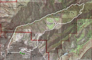
Hike overview map
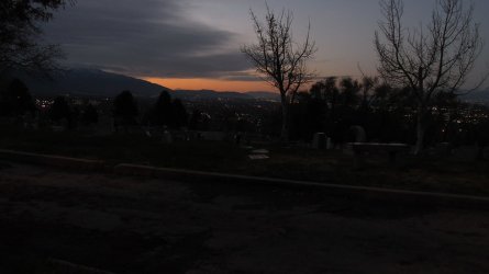
Dawn in the Salt Lake Valley
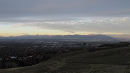
Sunrise on the Oquirrh Mountains
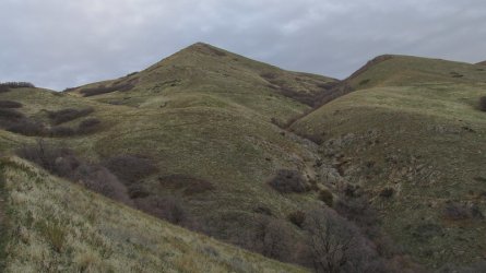
Southern peak of the Avenues Twin Peaks. A purist would have hiked up and over the top of this peak and the northern peak. I didn't.
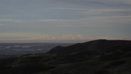
Sunrise on Stansbury Island
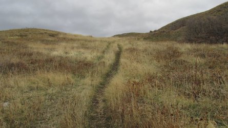
An old Jeep road gains the ridge just north of the northern peak of the Avenues Twin Peaks, which is seen rising in the upper right
of the image.
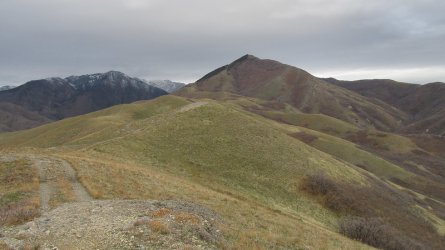
On the ridge that runs from the Avenues Twin Peaks to Black Mountain
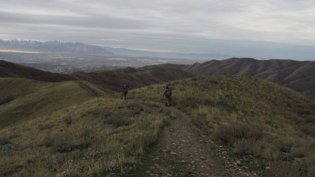
I passed two more bow hunters like I did on Van Cott last Saturday. These two weren't as chatty as the two on Van Cott were.
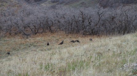
Wild Turkeys
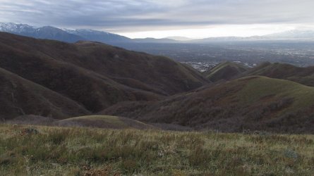
A look down Dry Canyon from the north this time
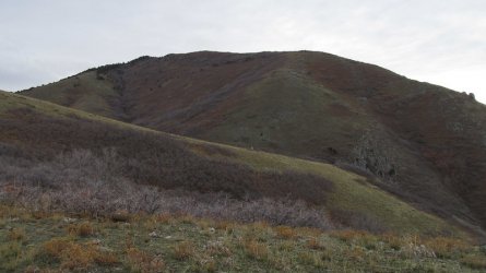
Getting close to where the serious climbing starts
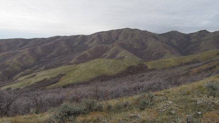
The Dude Benchmark located on the northern ridge of City Creek Canyon
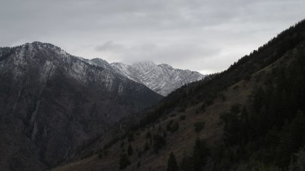
Summit of Grandview at the head of City Creek Canyon is in a cloud
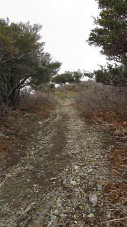
A steep section of the trail
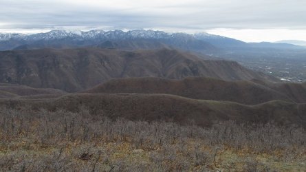
A view to the south that shows the Van Cott Ridge with Mount Wire beyond, that my hike incorporated last week
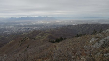
Looking back on ground that I'd covered this morning
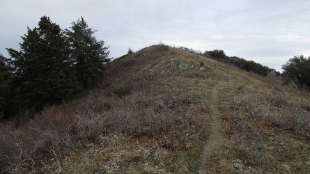
Almost to the top of the ridge
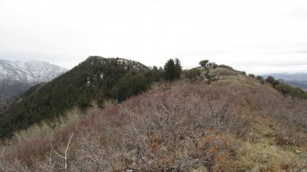
Making my way across the ridge
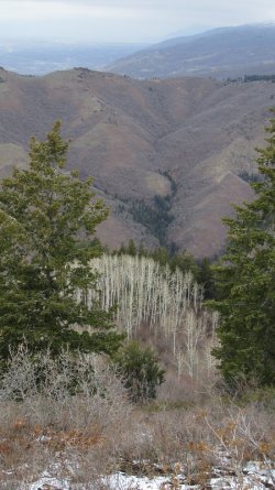
A stand of aspen just off the ridge. Rudy's Flat on top of the opposite ridge
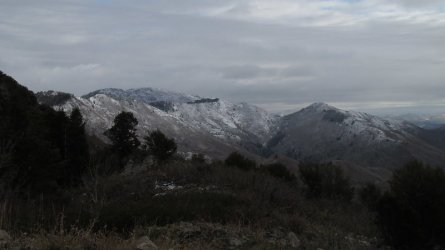
Lookout Peak to the east
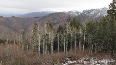
More aspen
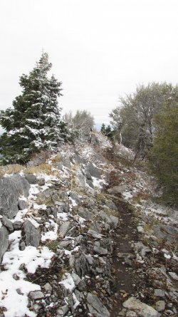
Some snow along the top of the ridge at approximately 8000 feet
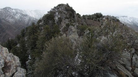
Heading towards the high point of the ridge that includes some scrambling
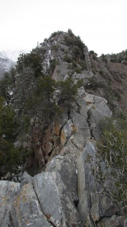
Scrambling required.
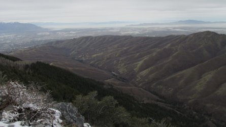
View down City Creek Canyon
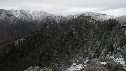
The route ahead
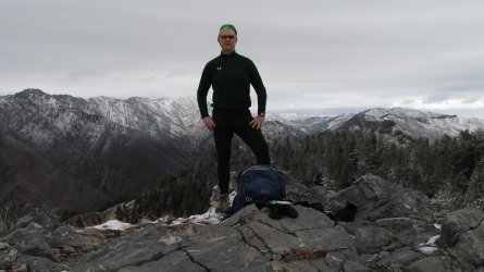
A break on the high point of the ridge
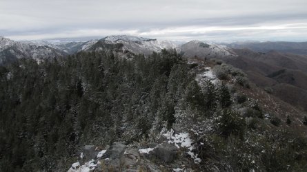
Lookout Peak in the distance
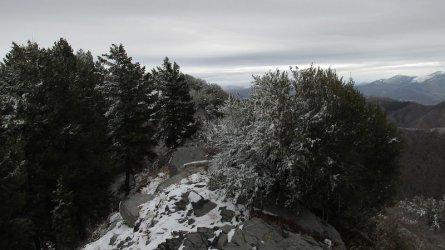
Working my way along the ridge
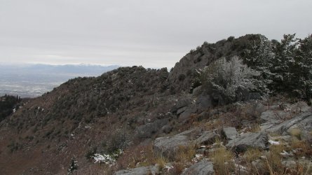
A good look back at the scramble portion of the ridge
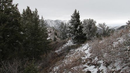
Getting close to dropping down to a saddle where I will pick up the trail that drops into City Creek Canyon
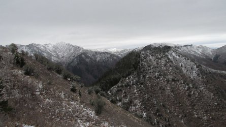
The saddle is down below
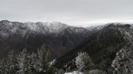
A look down into upper City Creek
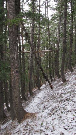
Picked up the trail that will take me to the bottom of the canyon
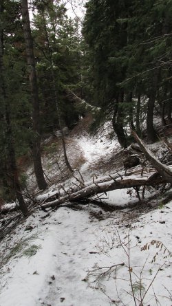
Trail Crew! There was quite a bit of downfall along this trial. My guess is
that it doesn't get used that much.
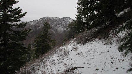
Burrow Peak ahead as I work my way down into the Canyon
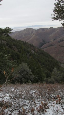
Different perspective of the Dude Benchmark across the canyon
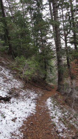
Low enough now that the trail is clear of snow
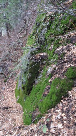
A very large rock that was almost completely covered with moss.
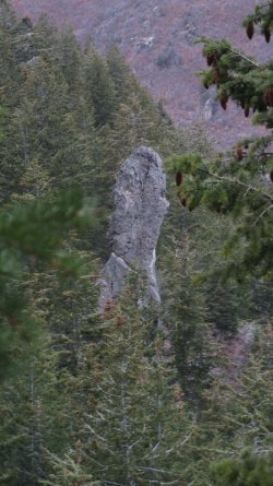
A large rock pinnacle to the west of the trail
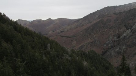
A look down City Creek Canyon
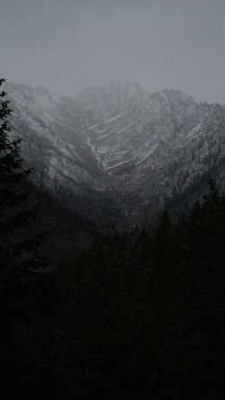
Storming of Grandview
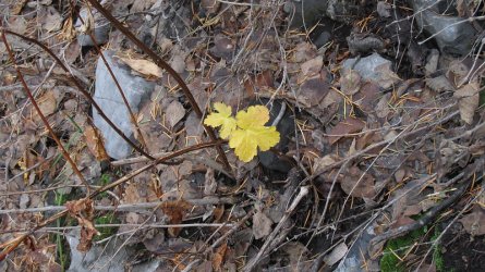
An occasional reminder of fall
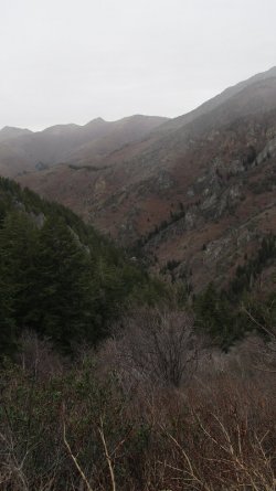
Looking down into the canyon
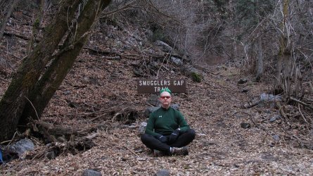
Smugglers Gap Trail. This was my first time on this trail, and other than the downfall that I encountered, the trail was in good shape
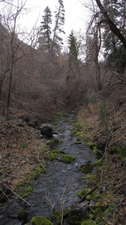
City Creek
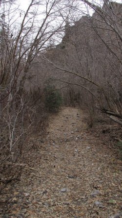
The way home
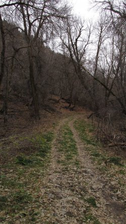
The trail at this point is a service road
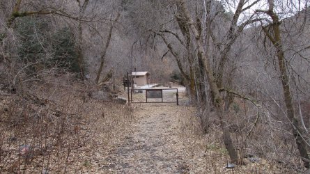
Approaching where the pavement begins. I would have to walk the road for a little over two miles before picking up the trail that
runs down City Creek.
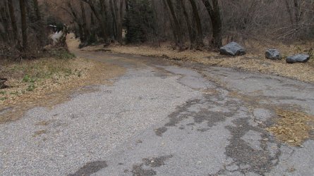
This is where the incident took place @Rockskipper. I'm surprised someone didn't make a chalk outline of my body.
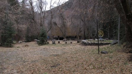
Upper Rotary Park - my lunch destination
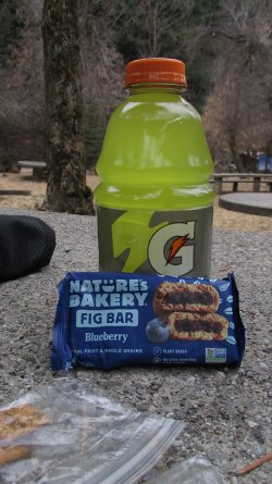
Some snacks before continuing on down canyon
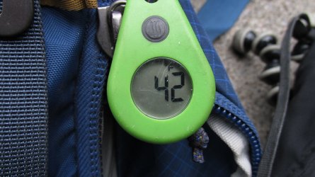
42 degrees at Upper Rotary
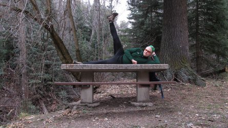
Nice form! Some hip exercises so that I can continue on
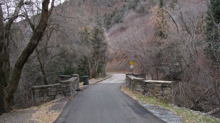
Some road walking for the next 45 minutes or so
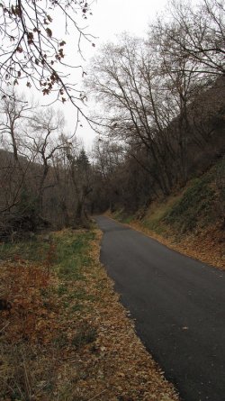
Smell of leaves in the air and some sprinkles from above
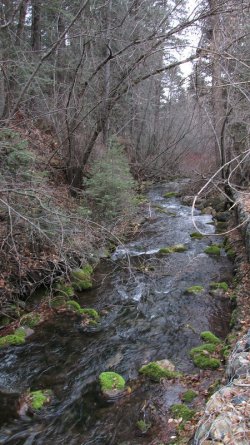
City Creek
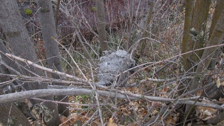
Hornets nest
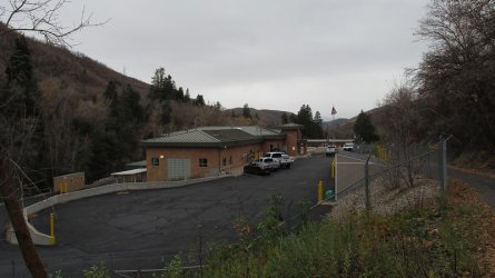
The water treatment plant
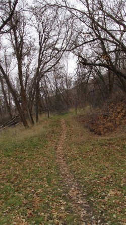
Back on the trail
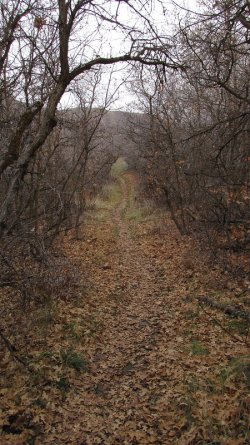
Trail running through scrub oak
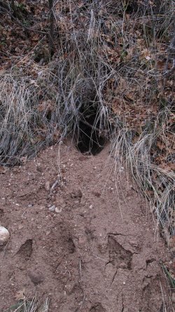
A badger hole
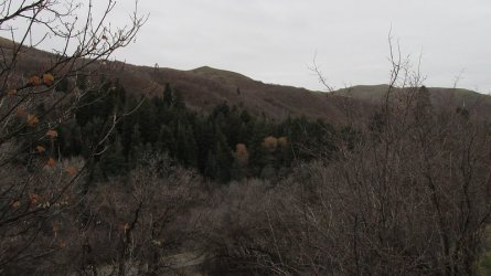
View across the canyon at the southern ridge
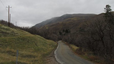
A look back up the canyon. Looks like rain.
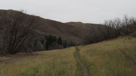
More than halfway down the canyon at this point
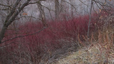
Some osier dogwood next to the trail
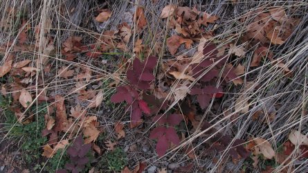
Oregon Grape
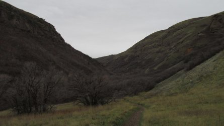
Nearing the end of the canyon
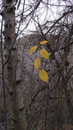
Fall colors
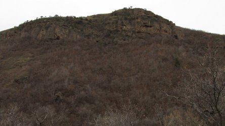
View above the trail
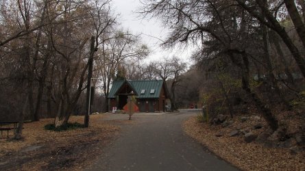
Guard shack at the end of City Creek Canyon
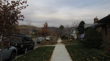
Back on 9th Ave
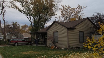
Home sweet home
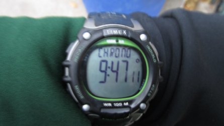
Total time to complete hike.
This was a good hike for wildlife. I saw the following throughout the day:
7 deer
2 rabbits
2 grouse - scared me dropping down into City Creek
18 Wild Turkeys
1 Falcon
The End
After a hearty breakfast of steel cut oats, I set off at 6:30 in the morning towards Tomahawk Drive where there is access to a spur trail that leads north to the Shoreline Trail. From the shoreline trail, I proceeded to gain the ridge between the Avenues Twin Peaks and the Black Mountain Ridge. Once I reached the top of the Black Mountain Ridge, I worked my way across the ridge, then dropped down into upper City Creek Canyon, where I broke for lunch. After lunch, I made my way down City Creek and back home.
I'm not sure if Black Mountain is technically considered the foothills, but I had to cross them to get there so I am including it.

Hike overview map

Dawn in the Salt Lake Valley

Sunrise on the Oquirrh Mountains

Southern peak of the Avenues Twin Peaks. A purist would have hiked up and over the top of this peak and the northern peak. I didn't.

Sunrise on Stansbury Island

An old Jeep road gains the ridge just north of the northern peak of the Avenues Twin Peaks, which is seen rising in the upper right
of the image.

On the ridge that runs from the Avenues Twin Peaks to Black Mountain

I passed two more bow hunters like I did on Van Cott last Saturday. These two weren't as chatty as the two on Van Cott were.

Wild Turkeys

A look down Dry Canyon from the north this time

Getting close to where the serious climbing starts

The Dude Benchmark located on the northern ridge of City Creek Canyon

Summit of Grandview at the head of City Creek Canyon is in a cloud

A steep section of the trail

A view to the south that shows the Van Cott Ridge with Mount Wire beyond, that my hike incorporated last week

Looking back on ground that I'd covered this morning

Almost to the top of the ridge

Making my way across the ridge

A stand of aspen just off the ridge. Rudy's Flat on top of the opposite ridge

Lookout Peak to the east

More aspen

Some snow along the top of the ridge at approximately 8000 feet

Heading towards the high point of the ridge that includes some scrambling

Scrambling required.

View down City Creek Canyon

The route ahead

A break on the high point of the ridge

Lookout Peak in the distance

Working my way along the ridge

A good look back at the scramble portion of the ridge

Getting close to dropping down to a saddle where I will pick up the trail that drops into City Creek Canyon

The saddle is down below

A look down into upper City Creek

Picked up the trail that will take me to the bottom of the canyon

Trail Crew! There was quite a bit of downfall along this trial. My guess is
that it doesn't get used that much.

Burrow Peak ahead as I work my way down into the Canyon

Different perspective of the Dude Benchmark across the canyon

Low enough now that the trail is clear of snow

A very large rock that was almost completely covered with moss.

A large rock pinnacle to the west of the trail

A look down City Creek Canyon

Storming of Grandview

An occasional reminder of fall

Looking down into the canyon

Smugglers Gap Trail. This was my first time on this trail, and other than the downfall that I encountered, the trail was in good shape

City Creek

The way home

The trail at this point is a service road

Approaching where the pavement begins. I would have to walk the road for a little over two miles before picking up the trail that
runs down City Creek.

This is where the incident took place @Rockskipper. I'm surprised someone didn't make a chalk outline of my body.

Upper Rotary Park - my lunch destination

Some snacks before continuing on down canyon

42 degrees at Upper Rotary

Nice form! Some hip exercises so that I can continue on

Some road walking for the next 45 minutes or so

Smell of leaves in the air and some sprinkles from above

City Creek

Hornets nest

The water treatment plant

Back on the trail

Trail running through scrub oak

A badger hole

View across the canyon at the southern ridge

A look back up the canyon. Looks like rain.

More than halfway down the canyon at this point

Some osier dogwood next to the trail

Oregon Grape

Nearing the end of the canyon

Fall colors

View above the trail

Guard shack at the end of City Creek Canyon

Back on 9th Ave

Home sweet home

Total time to complete hike.
This was a good hike for wildlife. I saw the following throughout the day:
7 deer
2 rabbits
2 grouse - scared me dropping down into City Creek
18 Wild Turkeys
1 Falcon
The End
Last edited:
