Navigation
Install the app
How to install the app on iOS
Follow along with the video below to see how to install our site as a web app on your home screen.
Note: This feature may not be available in some browsers.
More options
Style variation
You are using an out of date browser. It may not display this or other websites correctly.
You should upgrade or use an alternative browser.
You should upgrade or use an alternative browser.
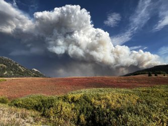
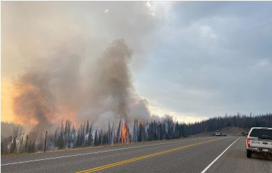
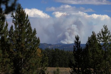
Fish Lake Fire.... east of Jackson
- Thread starter Bob
- Start date
fossana
Member
- Joined
- Jan 11, 2018
- Messages
- 1,060
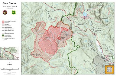
Thanks for the heads-up. Looks like I might be postponing my northern Winds trip this year, unfortunately. Status updates for others:
fossana
Member
- Joined
- Jan 11, 2018
- Messages
- 1,060
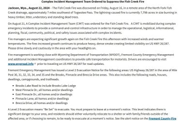
Additional trail/road closures were posted:
OldBill
Member
- Joined
- Aug 18, 2015
- Messages
- 590
Looks like I won't be heading to Dubois to fish the Wind R. this year. Smoke here in Pinedale isn't bad but getting worse. Just got back from 5 days in southern Winds. All clear until yesterday. Also got lucky with smoke and weather the prior week for another 5 day loop. But air quality and weather are changing so figuring out what to do for remaining 2 weeks.
- Joined
- May 16, 2016
- Messages
- 1,551
Looks like this has stabilized/not likely to spread. 25,000 acres, could have been a lot worse
- Joined
- Aug 21, 2018
- Messages
- 747
Bob
Trailmaster
- Joined
- Mar 3, 2013
- Messages
- 4,937
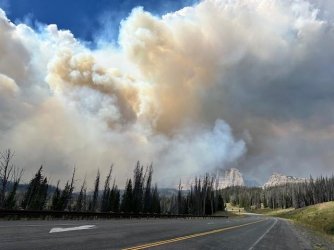
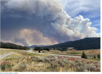
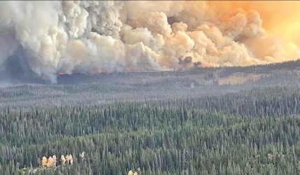
Lots of wind on it. Pack Trail fire made a 5 mile run Sunday.
Fremont County - Wyoming - Emergency Management Agency has issued IMMEDIATE evacuation for the following due to the Pack Trail and Fish Creek Fires.
Brooks Lake Road, East & West Pinnacle Drive, Breccia Drive, US HWY 26: Togwotee Pass from Mile Post 30-44, Long Creek Subdivision, Lava Mountain Subdivisions, Triangle C Ranch, old KOA, urban subdivision, including Timberline Ranch and Rawhide Ranches.
Highway is closed.

Last edited:
Bob
Trailmaster
- Joined
- Mar 3, 2013
- Messages
- 4,937
Yeah... They are just letting it burn in a confine it strategy... Which I don't agree with. A lot of the area will never come back for many many yearsLooks like this merged with another fire (Pack Trail) and is still going strong at 60,000 acres. Union Pass is closed now
- Joined
- May 16, 2016
- Messages
- 1,551
I don't know what the right answer is, lots of fuel in the area, if it doesn't burn this year, it might next year.Yeah... They are just letting it burn in a confine it strategy... Which I don't agree with. A lot of the area will never come back for many many years
Hoping for an early snow to knock it out before it does even more damage
Don't like ads? Become a BCP Supporting Member and kiss them all goodbye. Click here for more info.

