TheDunedain
Not all those who wander are lost
- Joined
- Feb 11, 2012
- Messages
- 37
This past October myself and a few friends had the pleasure of backpacking the Fish and Owl Canyons loop. The plan was to leave Salt Lake on Wednesday afternoon the 12th (which was the day of the full moon) and head down the San Rafael Swell and camp at the mouth of Straight Wash and check out a few slot canyons that a friend had showed me on Google Earth, and then get up early the next day and head down to the Kane Gulch Ranger Station to pick up our permits and backpack the 16 mile loop in 4 days, as to see all the sights and do some side hikes. As fate would have it we didn't end up leaving Salt Lake until about 7 PM which is no surprise knowing my friends senses of time, but all was well.
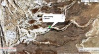
We ended up getting to the mouth of Straight Wash at about 11 PM but being that it was a full moon we decided we were still going to check out the aforementioned slot canyons anyway. I LOVE southern Utah under the full moon. It casts such an awesome silvery blue light on the sandstone which makes everything look like a different planet. Anyway, after setting up camp we got back in the car and drove a short ways to where we only assumed was the best place to park to hike to the canyon. Here are the coordinate of the two canyons we hiked:
38°46'26.79"N 110°29'13.43"W. The southern one is much less brushy than the northern and actually has a slot at the top of it, so the southern one is the one we wanted.
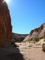
After hiking into the wrong canyon (which was the north one) we headed over the sandstone into the correct canyon which I have to say was pretty impressive in the moonlight. The lower section that we were in is not much of a slot but still epic nonetheless with a few hundred foot sandstone walls on either side. The lower section ends in a huge alcove with the upper slot running through it, a lone tree and a pool that reflected the moonlight oh so beautifully. I would have taken some pictures but we didn't have a camera that was adequate for night photos. We ended getting back to the camp at 1 AM.
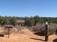
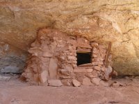
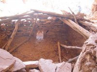
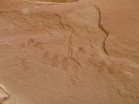
The next day we got up early and sped down through Hite and Hog Springs to the Kane Gulch Ranger Station to pick up our permits and watch a video about backpacking etiquette and other real basic stuff like that. We set out from the trail head around 11 AM and began our way down into Owl Canyon. The trail immediately drops steeply down into the canyon (which was interesting with a heavy pack on) and soon after the first big drop is the first Anasazi ruin which is off to the right of the trail. It's no Moonhouse but it is still pretty impressive with a few rooms, granaries and some pictographs.
After checking out the ruin we headed down the canyon with our goal being to camp at Neville's Arch. There are a few deep pools on the way down Owl which looked to be pretty good swimming holes but we just rested shortly at one and kept heading down. The trail keeps dropping steeply until about a mile and a half before Neville's arch where it flattens out and becomes much easier to hike. We ended up camping less than a half a mile away and literally just around the bend from Neville's arch mainly because we wanted to set up camp and have dinner while there was still light and also because weren't sure how far exactly we were from the arch, but it turned out to be a better camp spot anyway. There aren't really any good places to camp at Nevilles are and there was no water from there to the confluence so I believe our spot was better.
The day after we headed down the the confluence of Fish and Owl to make our next camp and do some exploring. We passed Neville's arch which I have to say is a pretty epic arch with some huge sandstone pillars to accompany it on its right. We hiked to the confluence and set up camp under some cottonwoods, had lunch, filtered some water (which was very silty, definitely requires straining before pumping), and set out ruin hunting in lower Fish Canyon. It was only a half an hour after we started hiking that we saw our first ruin. It was pretty small but was perfectly camouflaged with the side of the cliff so I'm a little surprised we found it being that it also was not on the map (Lower Fish has tons of these ruins that aren't on the map so if you hike it keep your eyes open). After we checked out this ruin we were all feeling pretty lazy (and I was wearing Tevas which turned out to be a bad idea with all the prickly plants that Lower Fish has to offer) so we decided to do some slickrock hiking around the area and head back to camp and look for ruins the next day.
It was our second to last day and time for some ruin searching. We passed the ruin that we saw the day prior and past the confluence of Lower Fish and McLoyd's canyon (which is home to the famous Moonhouse ruin) and headed into the incredibly horrible trail (or lack thereof) that is Lower Fish Canyon. This "trail" is especially horrible because one minute you will be walking on a nice trail and the next you are bushwhacking through the thickest brush imaginable which tore my shins to shreds because I was wearing shorts, we managed though. The trail passes another ruin that is far off on the north side nestled into a high cliff. Again you really have to keep your eyes open or you won't see them.
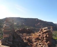
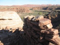
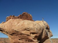
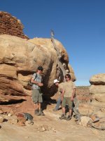
Finally, after a long battle with plants we made it to the ruin I had been hoping to see in Lower Fish : The Watchtower. The Watchtower sits high on the south side of Lower Fish on top of a huge egg-shaped rock which makes it impossible to get into unless you have a log to shimmy up. Luckily we found one and enjoyed the fantastic views of Comb Ridge and the finest sandstone Cedar Mesa has to offer. After enjoying the views for far longer than we should have, being that we had to hike all the way back up Lower Fish and a ways into Upper Fish to make camp we set out back to our gear. We made it back to our gear at sunset and began hiking up lower fish in the dusk. In case you haven't notice myself and my friends like to race the sun... We made camp a half hour after dark probably only a mile to a mile and a half up Fish.
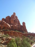
It was our final day and time to head up the 7 miles we had left which isn't much but there is a huge elevation gain getting out of Fish. The hike out of upper Fish is pretty uneventful ruin-wise but the scenery is absolutely amazing. There are so many sandstone pillars and formations that one could look for hours and see something new every minute. About 2-3 miles past the confluence the river was flowing pretty good which was surprising considering how late in the season it was but it made the hike a lot nicer.
Most of the hike up Fish is pretty tame and flat but the last mile or two is pretty brutal. The trail rises almost 1000 ft up the side of the canyon walls and the switchbacks never end, but once we were on the rim of the canyon the view are to die for. At the top of the canyon rim you can see a good ways into the upper reaches of Fish and far down it, as well as the Bears Ears and all the way to what I believe was Ute Mountain in Colorado but don't quote me on that because it could have been another peak. From the rim the trail meanders atop the mesa for a mile or so and then heads back to the trailhead.
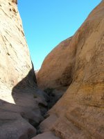
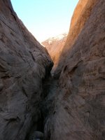
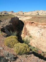
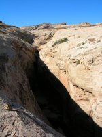
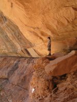
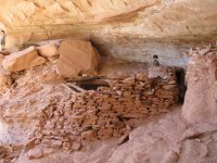
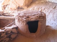
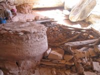
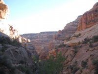
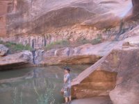
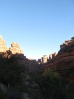
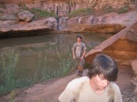
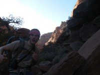
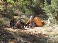
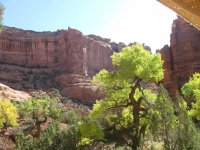
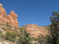
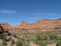
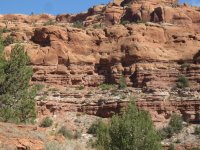
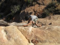
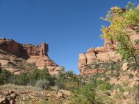
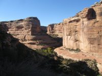
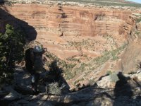
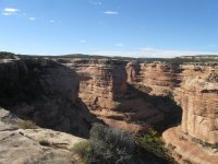
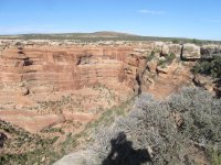
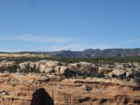
This was probably one of the best backpacking trips I have ever been on and hope to go back again sometime. Other than a few day hikers at the ruins we only saw two people backpacking besides ourselves the whole time and it was pretty brief which was pretty awesome to have the whole canyon system to ourselves. Cedar Mesa delivers, heres the pics:
]
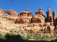
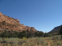
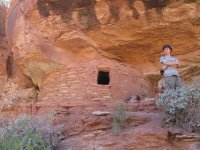
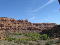
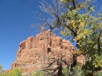
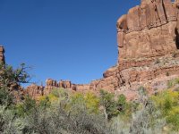
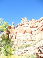
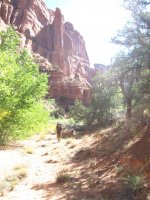
 All photos shot by Markus Boyer
We ended up getting to the mouth of Straight Wash at about 11 PM but being that it was a full moon we decided we were still going to check out the aforementioned slot canyons anyway. I LOVE southern Utah under the full moon. It casts such an awesome silvery blue light on the sandstone which makes everything look like a different planet. Anyway, after setting up camp we got back in the car and drove a short ways to where we only assumed was the best place to park to hike to the canyon. Here are the coordinate of the two canyons we hiked:
38°46'26.79"N 110°29'13.43"W. The southern one is much less brushy than the northern and actually has a slot at the top of it, so the southern one is the one we wanted.
After hiking into the wrong canyon (which was the north one) we headed over the sandstone into the correct canyon which I have to say was pretty impressive in the moonlight. The lower section that we were in is not much of a slot but still epic nonetheless with a few hundred foot sandstone walls on either side. The lower section ends in a huge alcove with the upper slot running through it, a lone tree and a pool that reflected the moonlight oh so beautifully. I would have taken some pictures but we didn't have a camera that was adequate for night photos. We ended getting back to the camp at 1 AM.
The next day we got up early and sped down through Hite and Hog Springs to the Kane Gulch Ranger Station to pick up our permits and watch a video about backpacking etiquette and other real basic stuff like that. We set out from the trail head around 11 AM and began our way down into Owl Canyon. The trail immediately drops steeply down into the canyon (which was interesting with a heavy pack on) and soon after the first big drop is the first Anasazi ruin which is off to the right of the trail. It's no Moonhouse but it is still pretty impressive with a few rooms, granaries and some pictographs.
After checking out the ruin we headed down the canyon with our goal being to camp at Neville's Arch. There are a few deep pools on the way down Owl which looked to be pretty good swimming holes but we just rested shortly at one and kept heading down. The trail keeps dropping steeply until about a mile and a half before Neville's arch where it flattens out and becomes much easier to hike. We ended up camping less than a half a mile away and literally just around the bend from Neville's arch mainly because we wanted to set up camp and have dinner while there was still light and also because weren't sure how far exactly we were from the arch, but it turned out to be a better camp spot anyway. There aren't really any good places to camp at Nevilles are and there was no water from there to the confluence so I believe our spot was better.
The day after we headed down the the confluence of Fish and Owl to make our next camp and do some exploring. We passed Neville's arch which I have to say is a pretty epic arch with some huge sandstone pillars to accompany it on its right. We hiked to the confluence and set up camp under some cottonwoods, had lunch, filtered some water (which was very silty, definitely requires straining before pumping), and set out ruin hunting in lower Fish Canyon. It was only a half an hour after we started hiking that we saw our first ruin. It was pretty small but was perfectly camouflaged with the side of the cliff so I'm a little surprised we found it being that it also was not on the map (Lower Fish has tons of these ruins that aren't on the map so if you hike it keep your eyes open). After we checked out this ruin we were all feeling pretty lazy (and I was wearing Tevas which turned out to be a bad idea with all the prickly plants that Lower Fish has to offer) so we decided to do some slickrock hiking around the area and head back to camp and look for ruins the next day.
It was our second to last day and time for some ruin searching. We passed the ruin that we saw the day prior and past the confluence of Lower Fish and McLoyd's canyon (which is home to the famous Moonhouse ruin) and headed into the incredibly horrible trail (or lack thereof) that is Lower Fish Canyon. This "trail" is especially horrible because one minute you will be walking on a nice trail and the next you are bushwhacking through the thickest brush imaginable which tore my shins to shreds because I was wearing shorts, we managed though. The trail passes another ruin that is far off on the north side nestled into a high cliff. Again you really have to keep your eyes open or you won't see them.
Finally, after a long battle with plants we made it to the ruin I had been hoping to see in Lower Fish : The Watchtower. The Watchtower sits high on the south side of Lower Fish on top of a huge egg-shaped rock which makes it impossible to get into unless you have a log to shimmy up. Luckily we found one and enjoyed the fantastic views of Comb Ridge and the finest sandstone Cedar Mesa has to offer. After enjoying the views for far longer than we should have, being that we had to hike all the way back up Lower Fish and a ways into Upper Fish to make camp we set out back to our gear. We made it back to our gear at sunset and began hiking up lower fish in the dusk. In case you haven't notice myself and my friends like to race the sun... We made camp a half hour after dark probably only a mile to a mile and a half up Fish.
It was our final day and time to head up the 7 miles we had left which isn't much but there is a huge elevation gain getting out of Fish. The hike out of upper Fish is pretty uneventful ruin-wise but the scenery is absolutely amazing. There are so many sandstone pillars and formations that one could look for hours and see something new every minute. About 2-3 miles past the confluence the river was flowing pretty good which was surprising considering how late in the season it was but it made the hike a lot nicer.
Most of the hike up Fish is pretty tame and flat but the last mile or two is pretty brutal. The trail rises almost 1000 ft up the side of the canyon walls and the switchbacks never end, but once we were on the rim of the canyon the view are to die for. At the top of the canyon rim you can see a good ways into the upper reaches of Fish and far down it, as well as the Bears Ears and all the way to what I believe was Ute Mountain in Colorado but don't quote me on that because it could have been another peak. From the rim the trail meanders atop the mesa for a mile or so and then heads back to the trailhead.
This was probably one of the best backpacking trips I have ever been on and hope to go back again sometime. Other than a few day hikers at the ruins we only saw two people backpacking besides ourselves the whole time and it was pretty brief which was pretty awesome to have the whole canyon system to ourselves. Cedar Mesa delivers, heres the pics:
]


 All photos shot by Markus Boyer
