Fire Season

balzaccom

Member
Joined
Sep 30, 2014
Messages
839
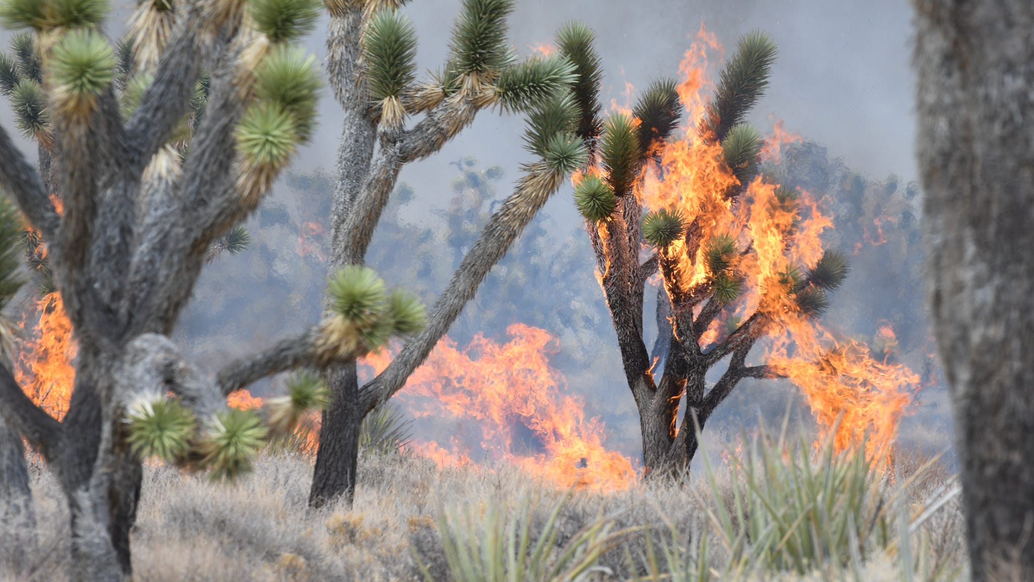
Fire season is in full swing...and note that all USFS have prohibited campfires outside of campground fire rings. That means no campfires in the backcountry at all.

And in case you don't understand why, here is an emergency notice we just received from the Napa County Sheriff's office:

NAPA CO SHERIFF: Mandatory Evacuation: Sage Canyon Rd from Chiles Pope Valley Rd to Lower Chiles Rd due to Hennessey Fire nixle.us/C57PQ

Yep. We have another fire in Napa County. It's a few miles from our house, and burning the other direction, so no immediate danger for us. But for those who live there, it's one more nightmare.
 
Crazy how dry and hot it is across almost the entire western half of the country. Up here in Bozeman, we get little sprinkles here and there in the afternoon a few times a week, but it's nowhere near enough to have much of an impact. Can't wait until everywhere cools down and gets some decent precipitation.
 
We've already had 3 wildfires within 5 miles of our neighborhood this season. It's only a matter of time before the next one. Given the drought situation in southern UT I don't know why they allow campfires on public lands at all (or sell fireworks for that matter).
 
I'm sandwiched between the Grizzly Creek Fire (26k+) and the Pine Gulch Fire (now at 90k acres). The smoke from both hits and stalls on itself, making my place look all fogged in, except it's smoke. It's been close to 300 ppm, which is hazardous. I can stay inside, but I really feel for all the critters who have nowhere to go.
 
The view from my classroom at the college this evening. The fire is 20-30 miles away. Big fire.

VcNwiZJuhcsStbdbsgh-QCSF9kyJLYhctLDACN0S8cVuDYMvxCmoVsaCe-dea3VKbrpmfijxLCOeV9gdq5kNfGEfY4NAOZb5Tx3WIDxTwr1PW9HlgDECK53uqmmXtNoPoEhJYblDvZzbqqiHt7ujAGdUg_nAvACCTLcCq3oChWENLfnjoneod9ivFlfOY1AxUPGW4L5TAkPtptdq8oqNXpp-BEWG569ole02UrgsHydlCW2pYFAZlVqlf9Y4JDPin4vKhN9HzRBARyOzmGTsw0gSM1bgM9Y467i_O4Yf7iV7cmxkRqtCj7TeD8E3FZYFUm5rNuJZfR1lvMowpxR4W8lastM6z7MiYO4QtodKW7JnXqKtM8eun_7vspNzwLTmwiF3lboQ473Vu7YJ_UeNc12qqlkubAU7t_Gd057jvX8ilPa2OiFxtORTWl7QUhtribmaQMC5C9iCJijawe8GwleFCPSHJK5_Od2nHQ6ufYZlSsQbvQjCkZ8gSR81aG3uEKVPyNkNTZh-61IvqHhri3hby_8kxEElWhyT31MBdjBTjlZ64hVFR8m895WWKt7ogq1H7hwtrOcbNBdvKfyi3ezO19uwbxzS9gmbOinbixwf073BuHtV7ltssYLvtrhqJckv9LJGASphovd7AT7XcUR01letd9483_tJSZBk8GOysJiHUOWQLYj6K0_V4g=w1118-h838-no
 
I'm sandwiched between the Grizzly Creek Fire (26k+) and the Pine Gulch Fire (now at 90k acres). The smoke from both hits and stalls on itself, making my place look all fogged in, except it's smoke. It's been close to 300 ppm, which is hazardous. I can stay inside, but I really feel for all the critters who have nowhere to go.

I thought our air yesterday was bad, but 300 is off the chart.
 
I thought our air yesterday was bad, but 300 is off the chart.
We're consistently getting the worst in the whole area because of our topography (New Castle), though you guys have had it pretty bad some days. Right now we're only at 142. :cool:
 
  • Like
Reactions: Ben
That was a great idea! I currently have 120 rabbits, 42 squirrels, 16 ravens, 6 deer, 2 coyotes, and a grizz in my house. It kind of represents the predator/prey order of the natural world, except I'm wondering where I fit in...
Excellent work!! haha
 
They announced massive evacuations in Napa County tonight--all of the rural area east of Napa Valley itself is now evacuated. Quite sad. The wineries in the valley are still open...from the Silverado Trail to Lake Berryessa, it's just heartbreaking.
 
View attachment 91286

California sending all of their smoke direct to Boise and the Sawtooths. can't see across the valley here, i might end up delaying some backpacking plans.
Wow. That satellite image is wild. Makes it look like the entirety of central CA is burning.

We're getting it bad up here too. PM 2.5 is at 152 ppm. Nasty out.

Screenshot_20200822-151913.png

Here's a stormy sunset shot over the top of our fence from a few weeks ago.
IMG_20200724_210158.jpg

And here's the view right now.
IMG_20200822_152337.jpg
 
From today's satellite image, looks like the smoke has really spread out today too.

Screenshot_20200822-154005~2.png
 
Wow. That satellite image is wild. Makes it look like the entirety of central CA is burning.

We're getting it bad up here too. PM 2.5 is at 152 ppm. Nasty out.

View attachment 91297

Here's a stormy sunset shot over the top of our fence from a few weeks ago.
View attachment 91300

And here's the view right now.
View attachment 91301
That is how it looks in Cache Valley, Northern UT right now too..just to lazy to post a pic to show it..
 

Don't like ads? Become a BCP Supporting Member and kiss them all goodbye. Click here for more info.

Back
Top