hatchcanyon
Member
- Joined
- May 29, 2013
- Messages
- 136
Eva Conover Road travels from I 70 not far away from Ghost Rock down into South Fork Coald Wash. Its a pretty rough road once built to explore this part of the Swell because some peaple - especially Eva Conover from Ferron wanted a State Park established.
Traveling I 70 westbound you find 2.2 miles west of the Ghost Rock Rest Area an entrance to an UDOT yard. (12S 0512989 4301598) This is the shortest way to go to Eva Conover Road.
The other way is by leaving I 70 at Exit 116 (Moore Cutoff) go to the south side of the Interstate and down to Justensen Flats. There is a BLM board an the next trail to the left (north) is right. It is goint through a culvert to the north side of the I 70 and quite a bit rocky down into Eagle Canyon. On the north side of the canyon another trail is going up. We have seen this one as a very rutted one difficult to drive with a Jeep Grand Cherokee.
Anyway you have to reach 12S 0513045 4301775. This place is on Secret Mesa. Eva Conover Road starts there. You can't go wrong, there are no other trails until you reach South Fork Coal Canyon.
Some pictures from the road? - trail? - spur?:
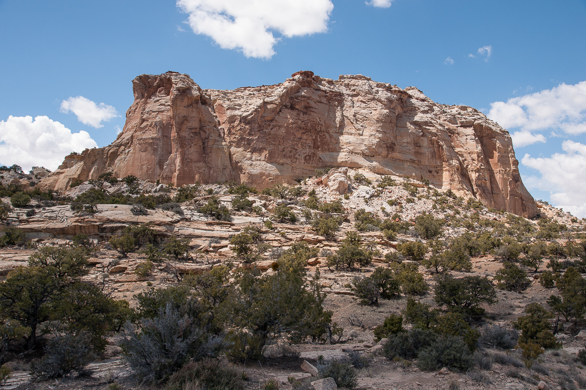
on Secret Mesa

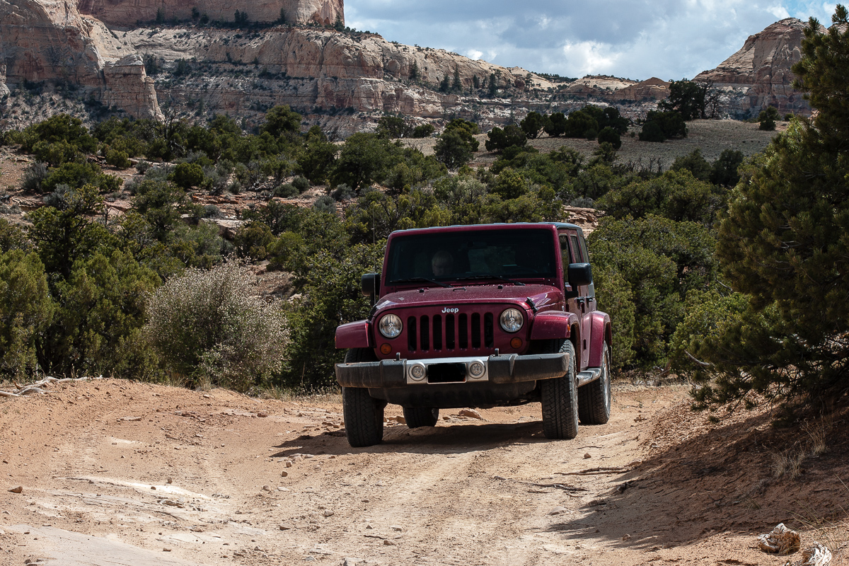
Eva Conover Road
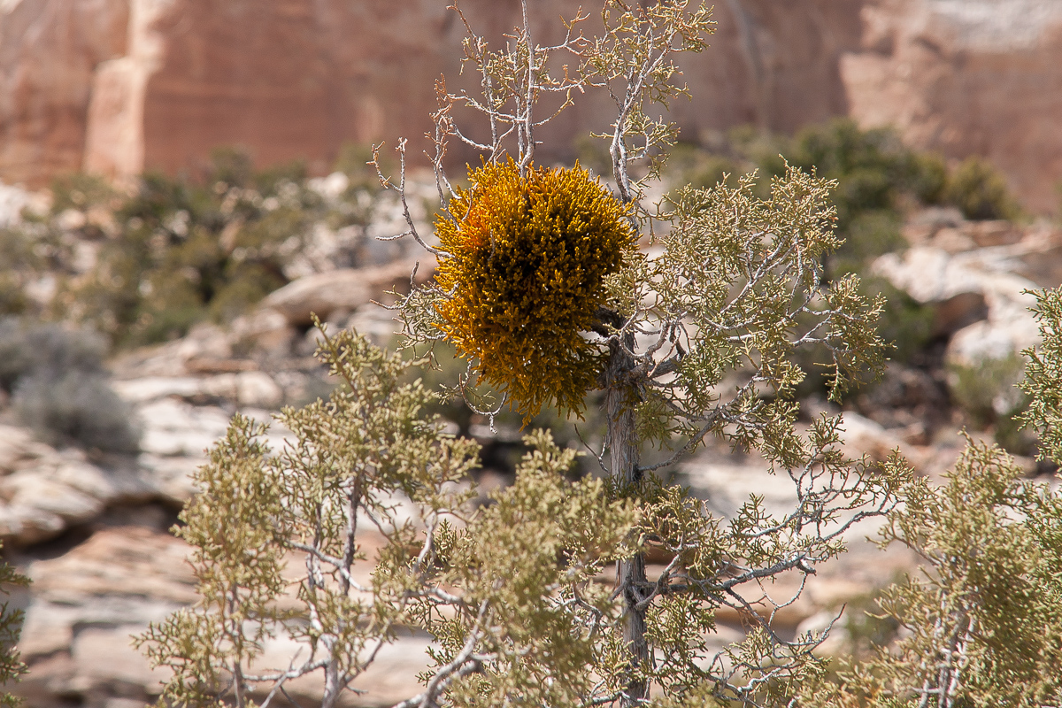
Colorful mistletoe
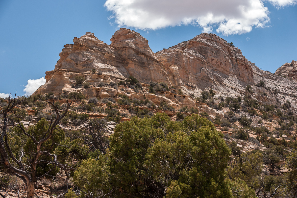
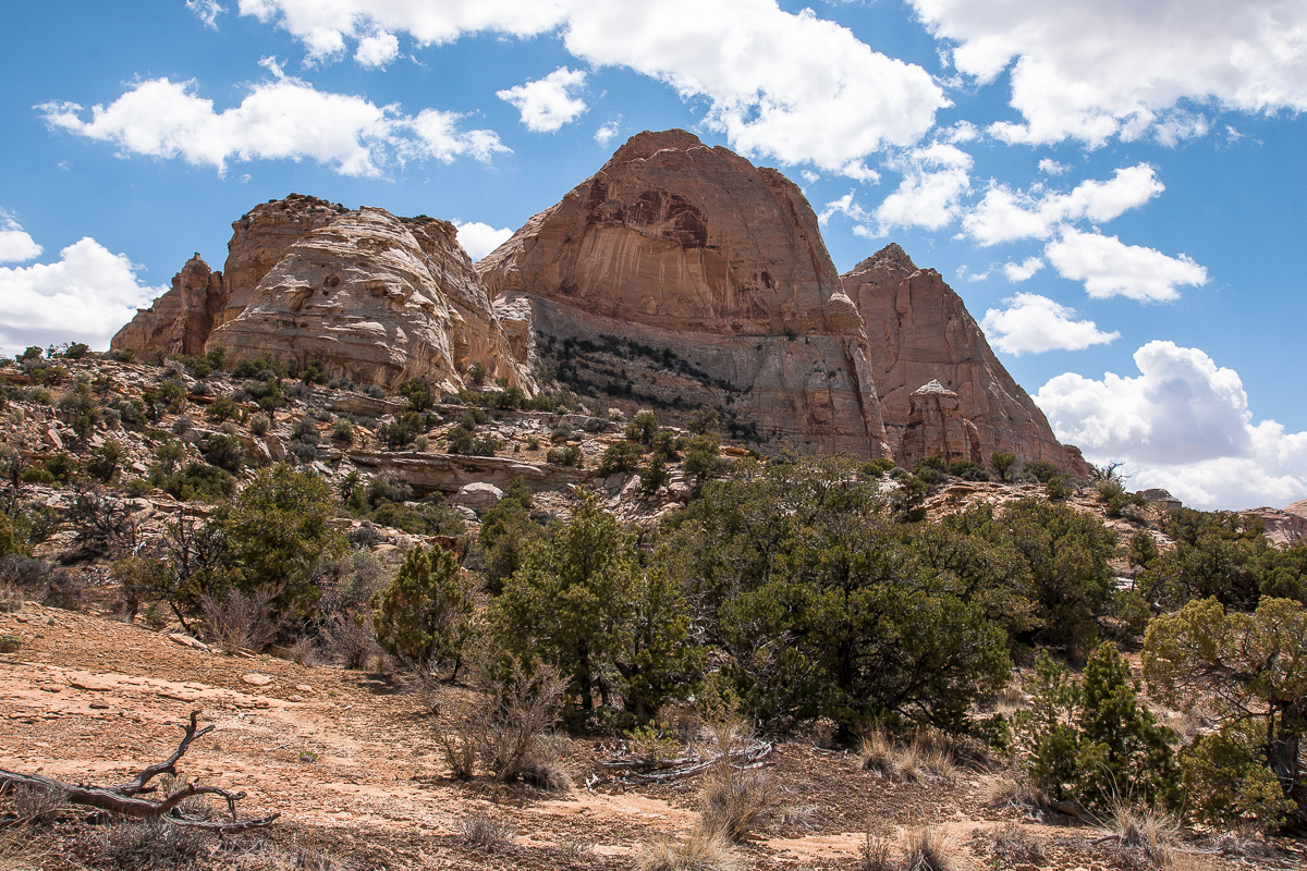
Sids Mountain Wilderness Study Area
The road again
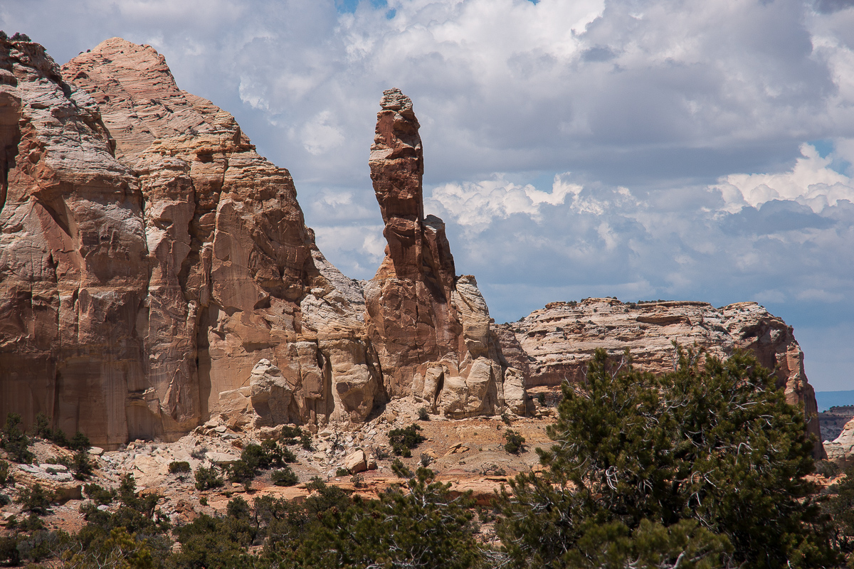
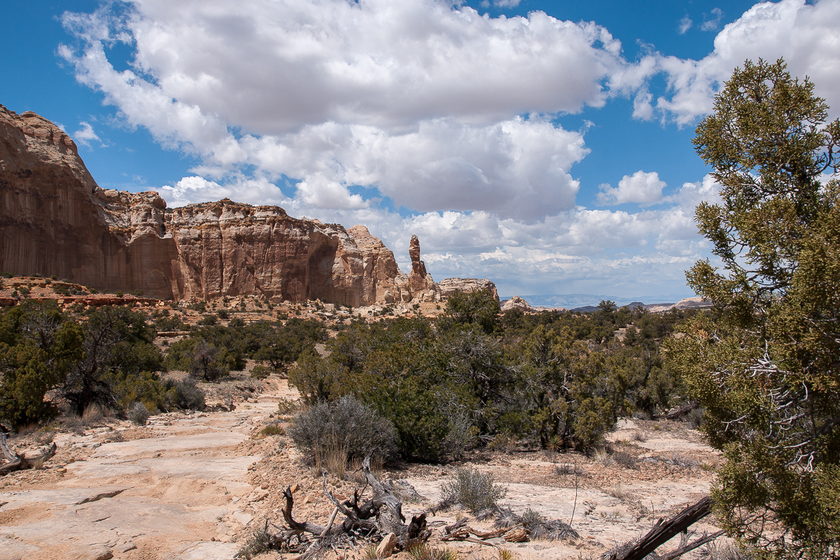
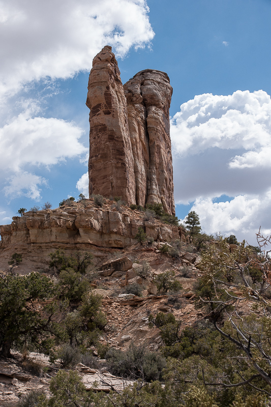
Pointer Finger Rock
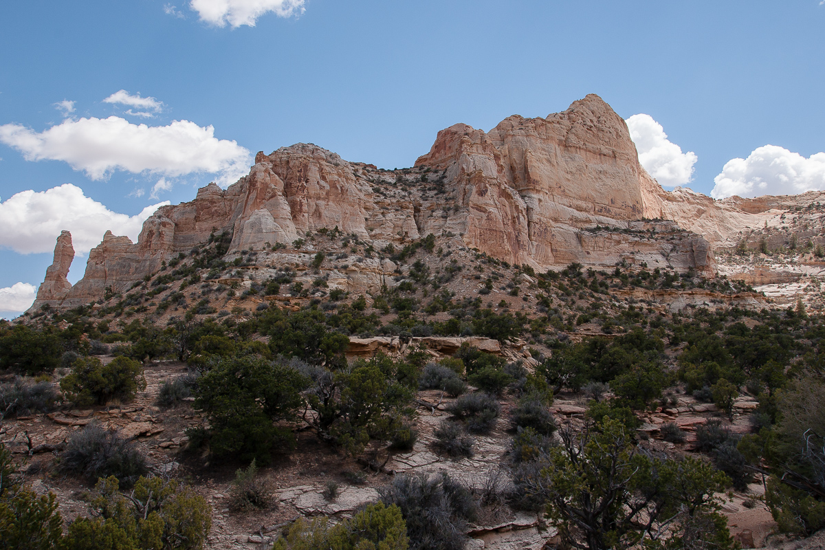
Cliffs
The road is winding around some tributaries of South Fork Coal Canyon. Stretches are rocky and I guess a standard SUV might come in trouble there.
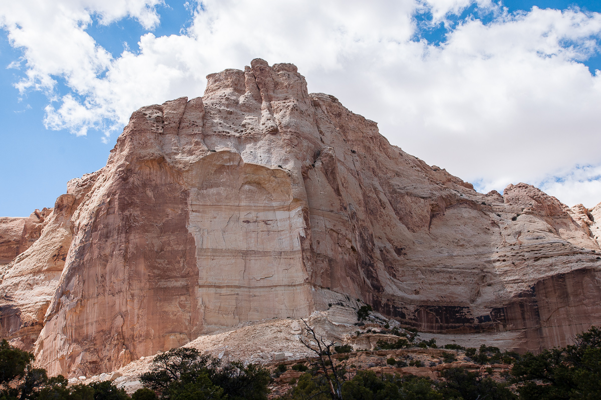
The Blocks
more walls
My favorite panorama
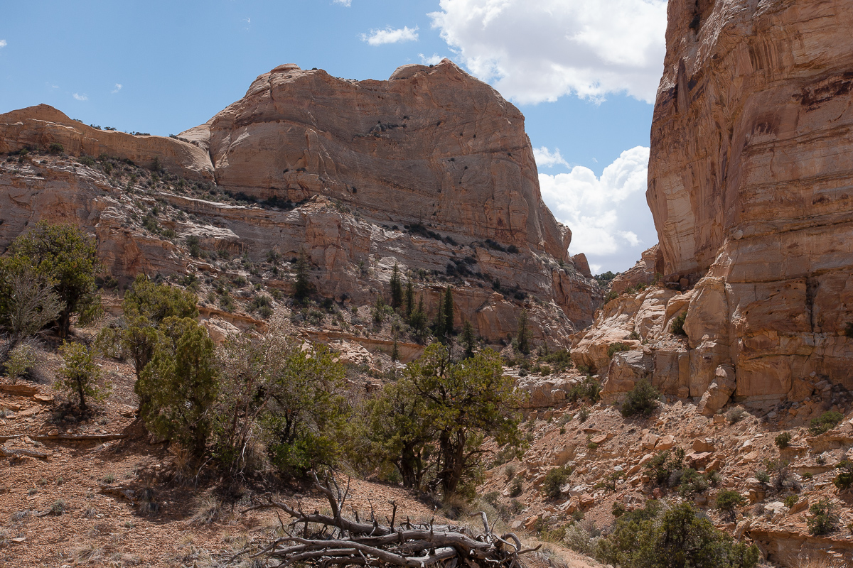
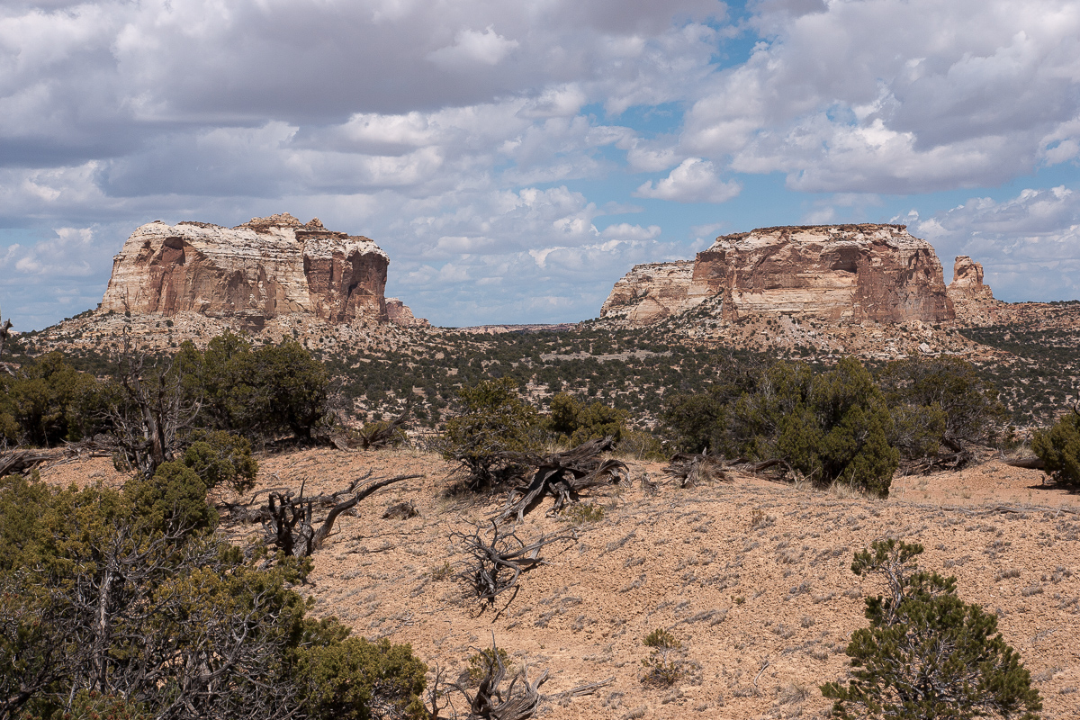
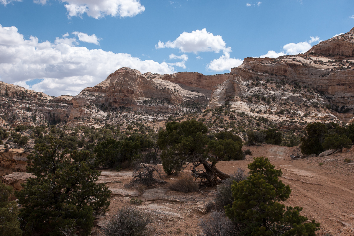
Canyons
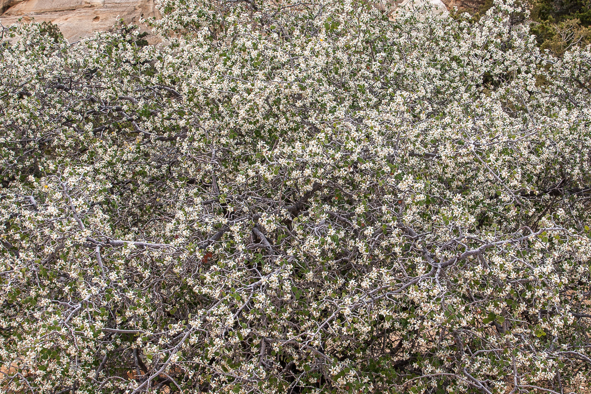
Blooming brush

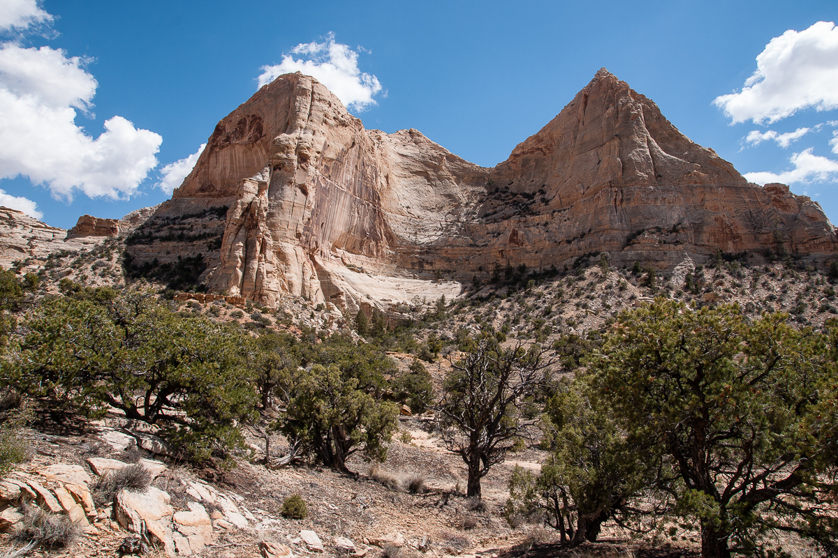
Another highlight view
Road and cliffs
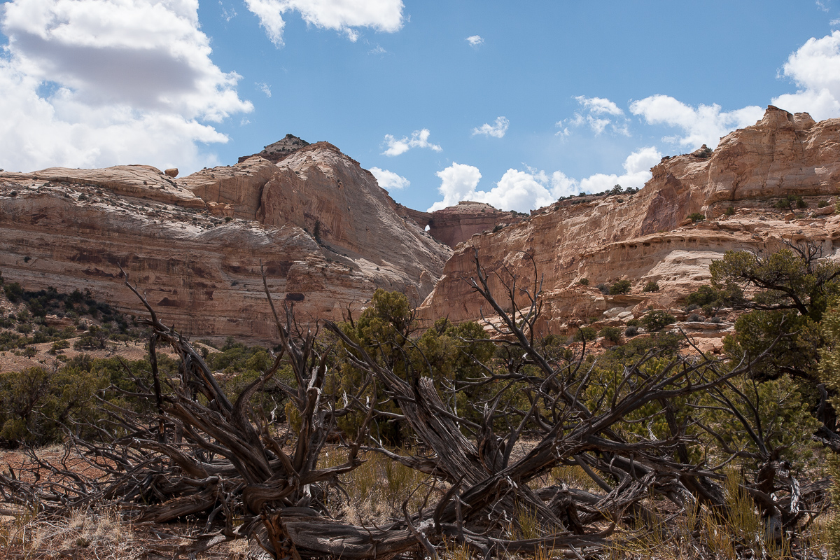
Wood Hollow Arch
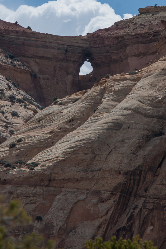
Wood Hollow Arch
We named the car "Lola"
These pillars are not far away from the bottom of South Fork Coal Wash
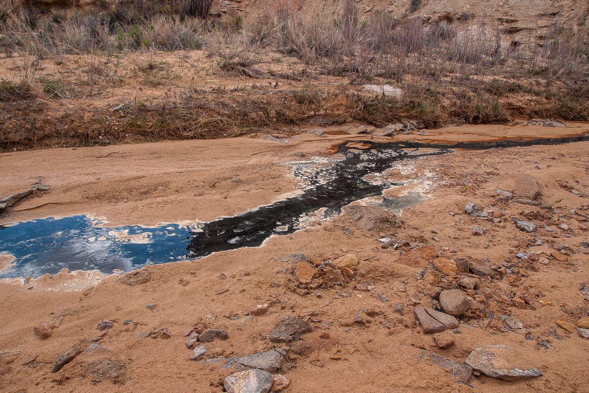
An oil seep
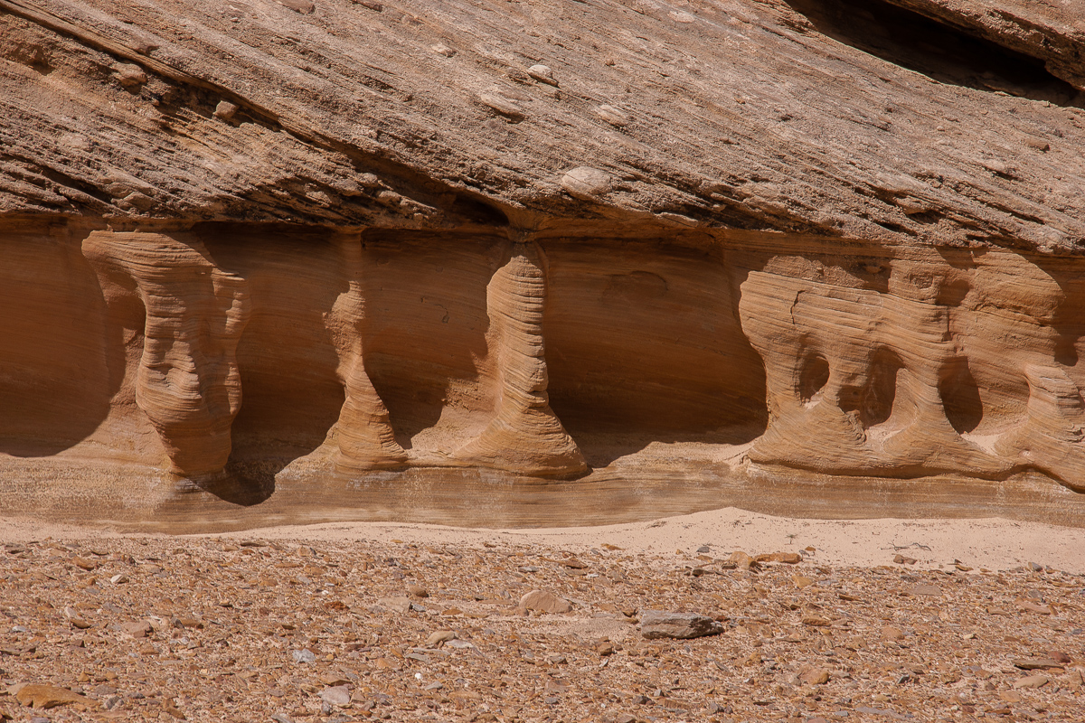
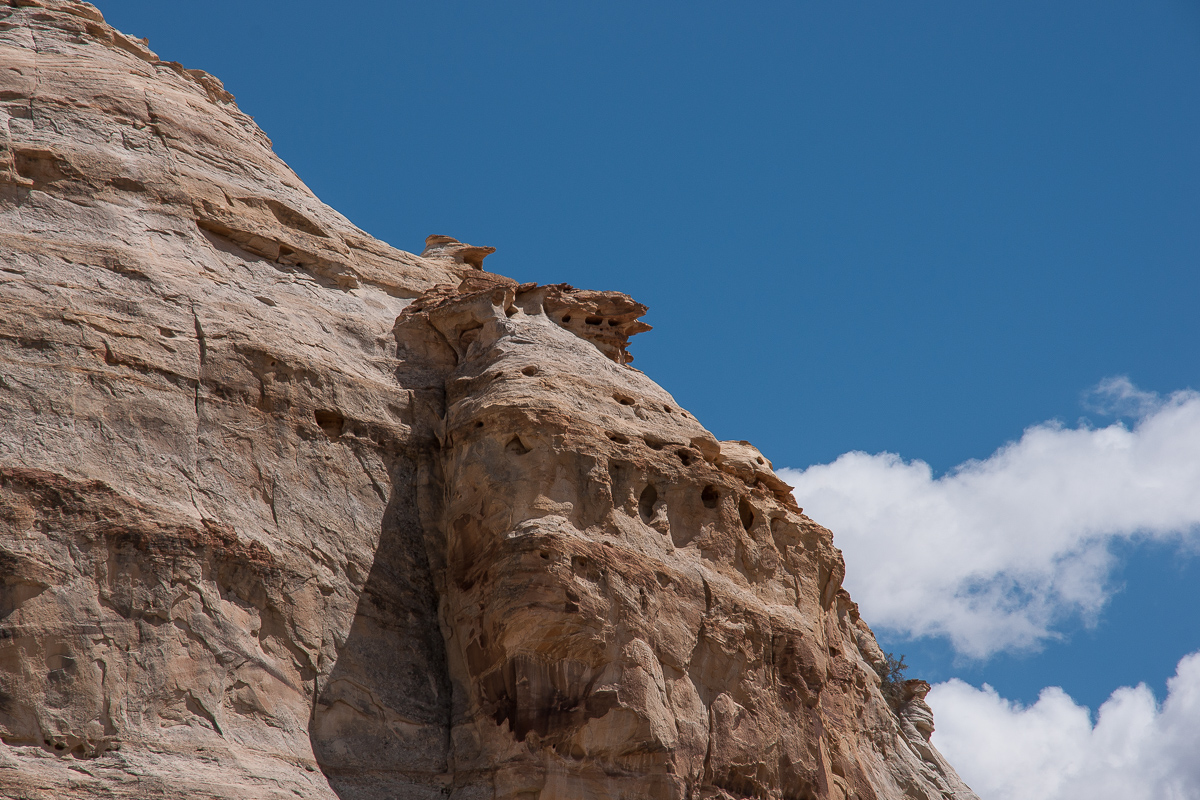
Details
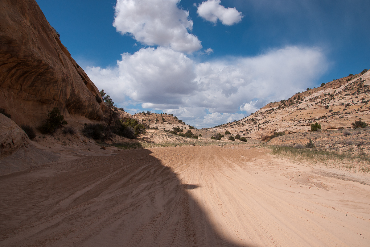
Easy driving in the wash
The trail ends at 12S 0509545 4314826 where North Fork Coal Wash goes to the southeast.
Traveling I 70 westbound you find 2.2 miles west of the Ghost Rock Rest Area an entrance to an UDOT yard. (12S 0512989 4301598) This is the shortest way to go to Eva Conover Road.
The other way is by leaving I 70 at Exit 116 (Moore Cutoff) go to the south side of the Interstate and down to Justensen Flats. There is a BLM board an the next trail to the left (north) is right. It is goint through a culvert to the north side of the I 70 and quite a bit rocky down into Eagle Canyon. On the north side of the canyon another trail is going up. We have seen this one as a very rutted one difficult to drive with a Jeep Grand Cherokee.
Anyway you have to reach 12S 0513045 4301775. This place is on Secret Mesa. Eva Conover Road starts there. You can't go wrong, there are no other trails until you reach South Fork Coal Canyon.
Some pictures from the road? - trail? - spur?:
on Secret Mesa
Eva Conover Road
Colorful mistletoe
Sids Mountain Wilderness Study Area
The road again
Pointer Finger Rock
Cliffs
The road is winding around some tributaries of South Fork Coal Canyon. Stretches are rocky and I guess a standard SUV might come in trouble there.
The Blocks
more walls
My favorite panorama
Canyons
Blooming brush
Another highlight view
Road and cliffs
Wood Hollow Arch
Wood Hollow Arch
We named the car "Lola"
These pillars are not far away from the bottom of South Fork Coal Wash
An oil seep
Details
Easy driving in the wash
The trail ends at 12S 0509545 4314826 where North Fork Coal Wash goes to the southeast.
Last edited: