Tyler
^^^^^^^^^^^^^^^^^^^^^^^^^^^^^^^^^^^^
- Joined
- Jan 18, 2012
- Messages
- 464
May 2007
My wife Alene fell in love with this area 6 years ago when she spent 2 months down here on an Archaeology dig while she attended BYU. She had been wanting to return badly and being that I'm still a desert novice, we felt it was a good time to break me in by starting off with one of the very narrow slot canyons in Utah.
Day 1
We drove down caravan style bringing along one of my nephews (Wes), my son Caiden, Alene and I in our truck. Jeff & Mandi, Krystal & Nate followed behind in their car. This was my first view of an area of Utah that I found extreme beauty (Boulder mountain area). That drive from Loa through Teasdale, on up through Boulder, then winding along that amazing ridge that takes you down into Escalante was one of the most beautiful drives I've ever seen.
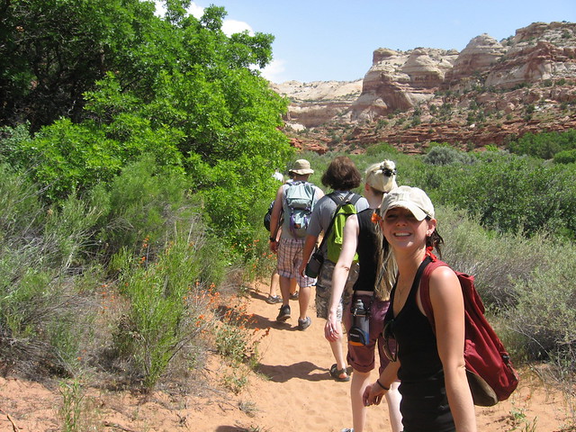
We immediately headed down the hole in the rock road as we entered Escalante and made the 30 mile drive down to the Dry Fork parking area to hike the Peekaboo and Spooky gulch loop
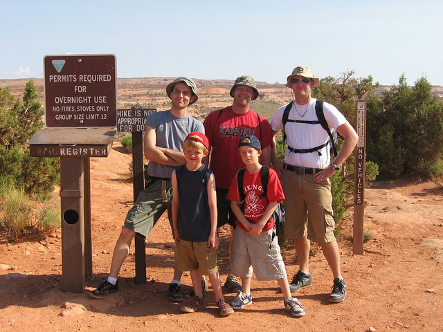
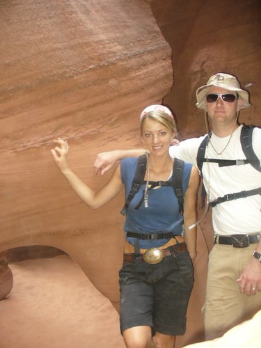
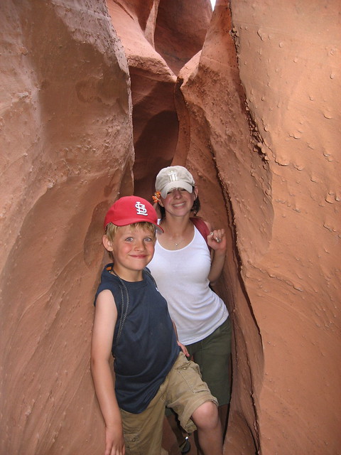
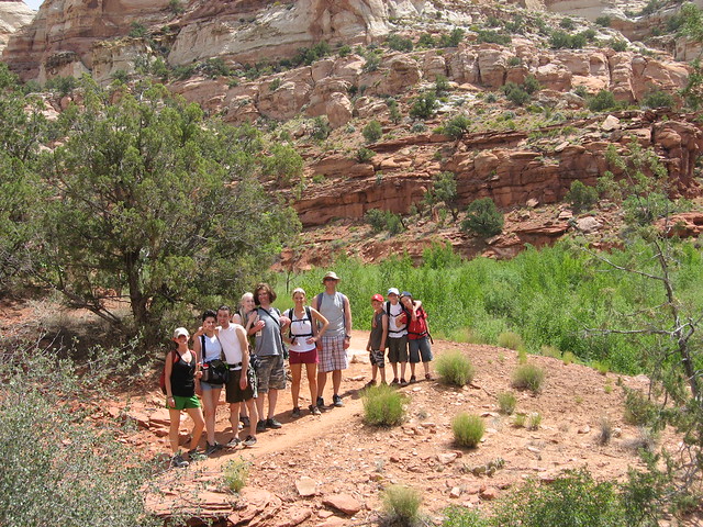
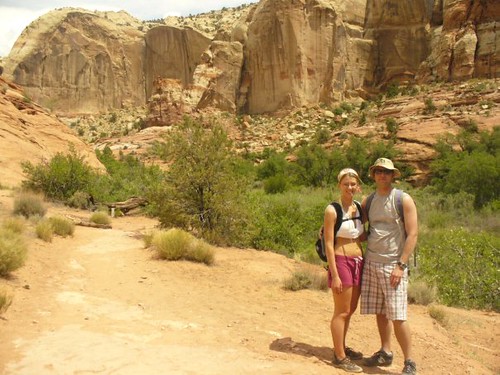
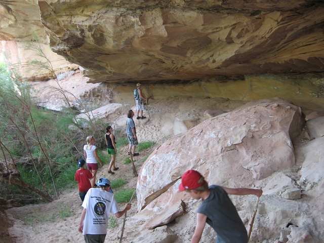
boys and girls at the trail head
Winding down into Dry Fork
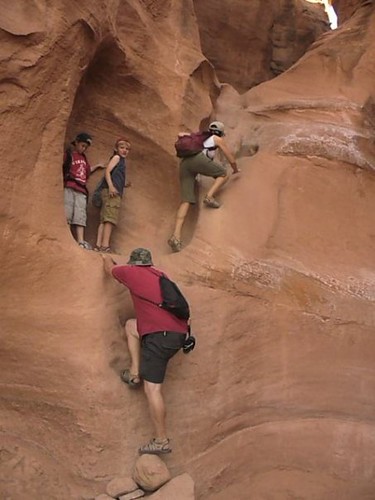
After walking down a sandy wash a bit, Peekaboo gulch appears on the left. This was an awesome entrance because it required a bit of climbing, but also had a couple of cool little arches once you were up inside
Climbing up
The couple of arches. There was a group in front of us who we eventually passed
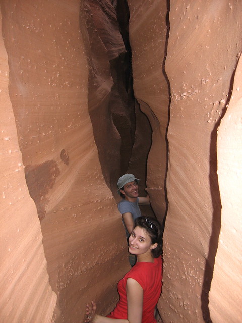
This was a very narrow canyon and we were in for even more narrows at Spooky
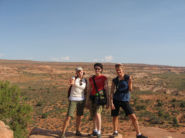
Krystal and Nate
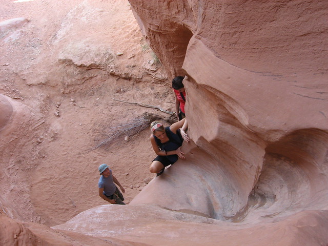
I scrambled my way up above the group and took a picture of them below
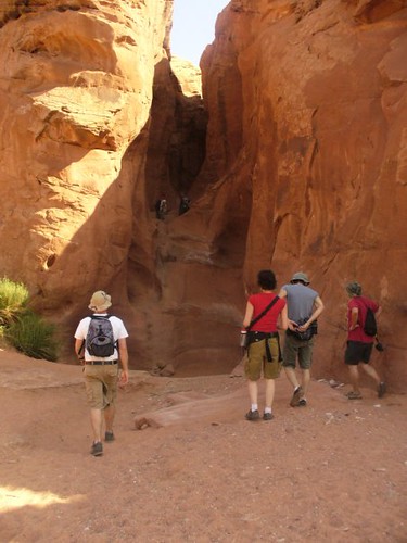
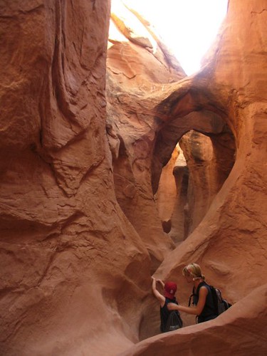
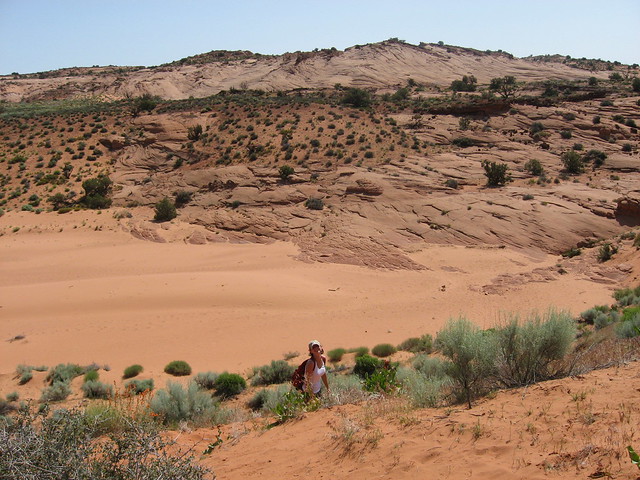
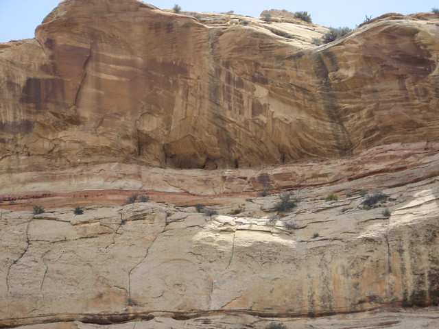
Once out of the narrows of Peekaboo, it opens up really wide. You can continue down the wide wash to another set of narrows, but we chose to head SE up over a ridge to our right and follow the cairned trail to Spooky gulch. As we came over the top, there was this HUGE sandy wash. I could only imagine the amount of water that flashes through here during a storm, then empties into Spooky (spooky entrance is on the right)
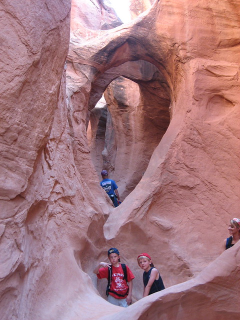
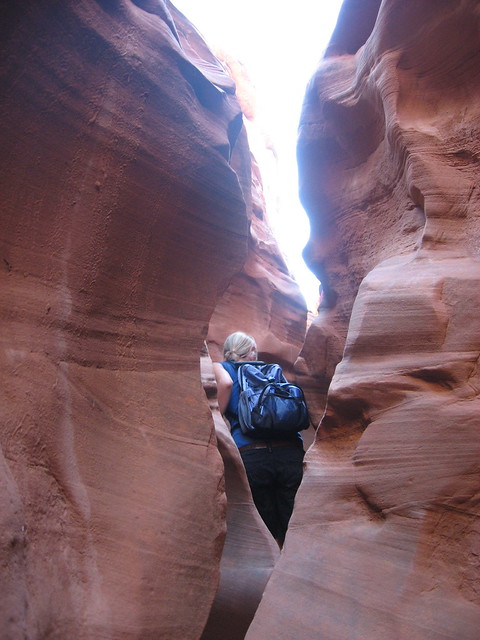
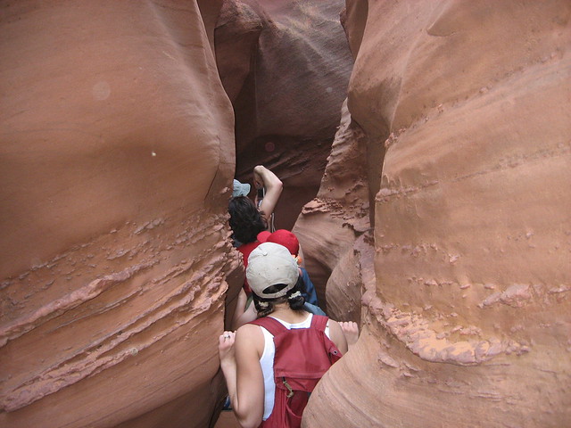
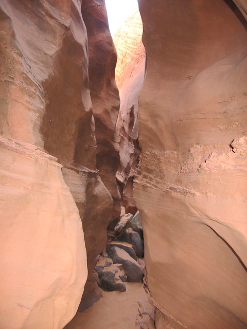
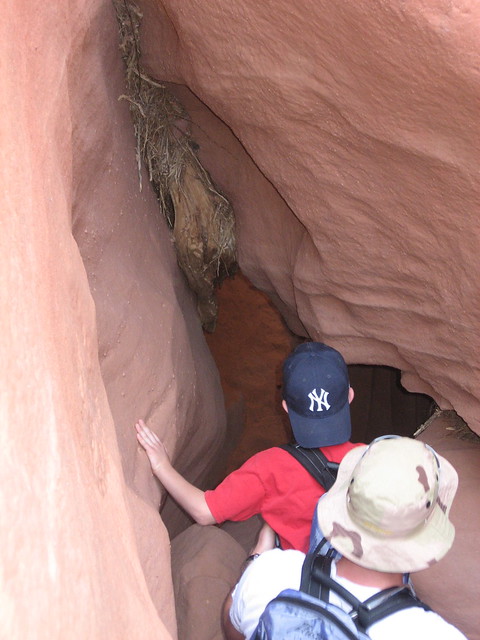
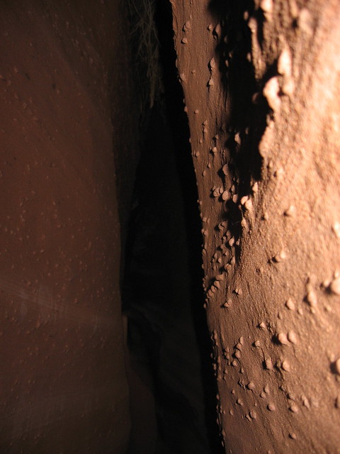
In Spooky. This slot was narrow the whole way
A little bridge you have to go under
More narrows
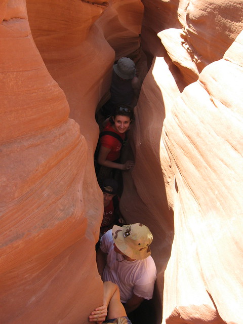
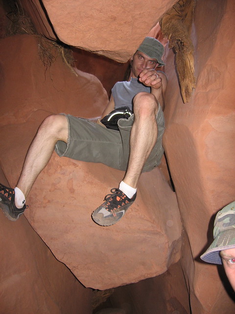
We came to this choke stone area that had a good 6' drop you had to kind of shimmy through, then do an assist to get down to the bottom
Jeff doing his zombie scramble
More narrows
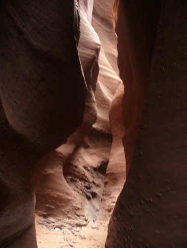
It got really dark at times
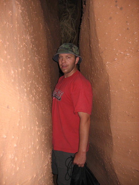
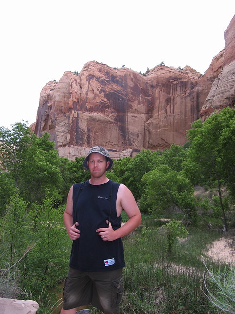
Me coming out of the narrowest section; got a little claustrophobic here
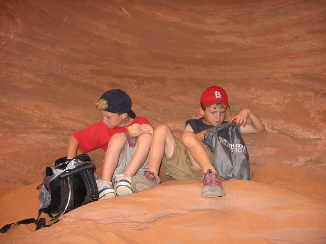
We stopped toward the end of Spooky where it opened up a bit to have lunch
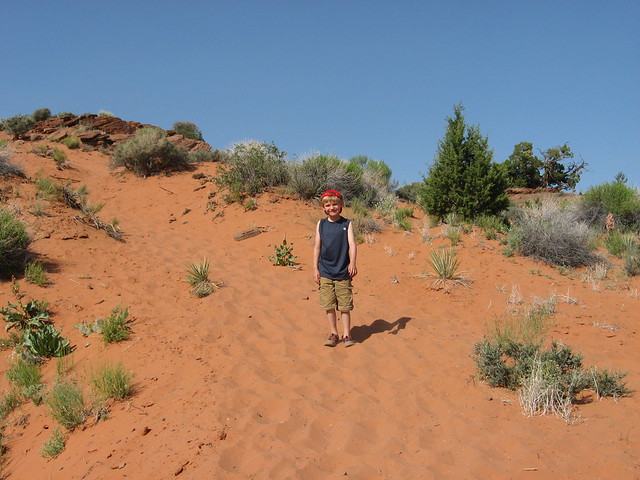
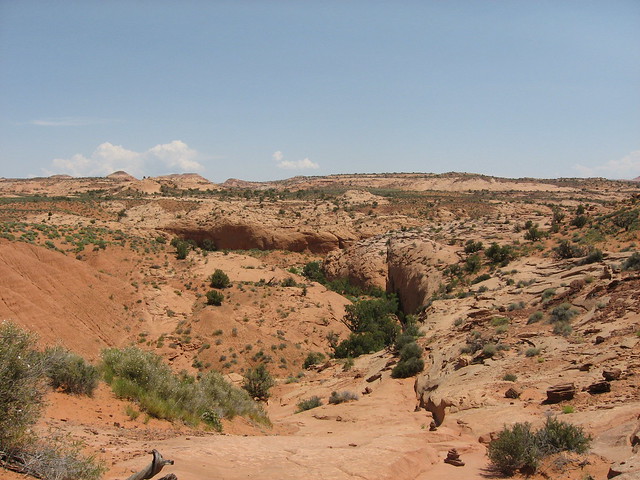
After our exit we did some sand slogging back up dry fork on up to our cars
Looking back at dry fork
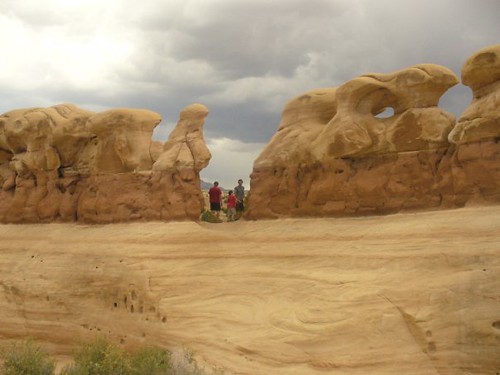
From there we drove back up hole in the rock and decided to stop and check out the Devils Garden area
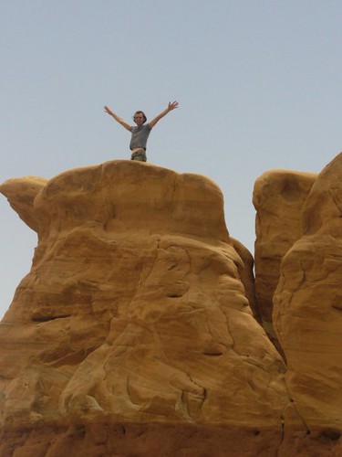
Jeff up on top
It started to get a little rainy (check out the sky) so we hung around a bit longer, then headed to our campsites at Escalante State Park
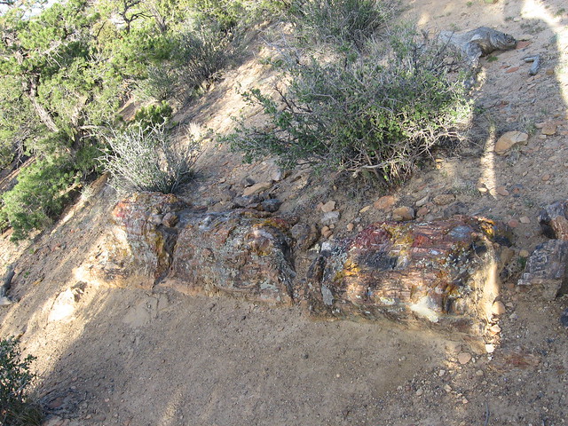
It rained a tiny bit after getting set up, but quickly dried up (in typical Utah desert fashion). After it dried up we decided to do a little hike up around the 1 mile petrified forrest loop. Some people don't care for this, but I thought it was cool to see all the petrified wood up there. The trail isn't the most beautiful, but it was nice to get up there and do a little stroll around in the evening
The boys with the reservoir behind them
We caught a lizard on our way down and the boys had fun handling it
We had an awesome campsite at the back of the loop. Later that night we would be serenaded by Coyotes up on that ridge above us. Scared the shit out of us as it was so loud and close (and 2am)
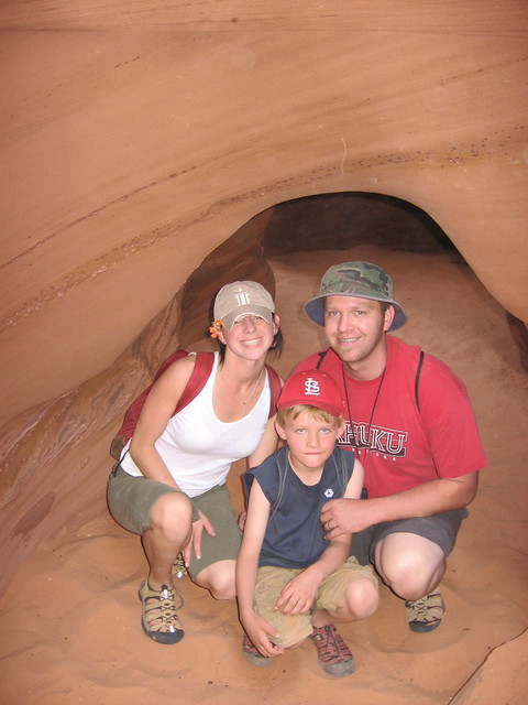
Later that evening my brother Russ and his wife Randa showed up along with our other nephew Riley. Riley got a little car sick on the way down (you can see him in the above picture next to his tent riding out the upset stomach; poor guy)
Day 2
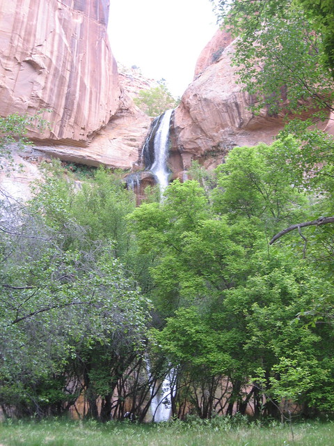
On day 2 our plan was to hike up Calf Creek falls, then head over to do a little hiking up the Escalante River a bit to see if we can find some ruins. Calf Creek is a beautiful 5.5 mile round trip hike. Along the way you'll see several ruins high up on the canyon walls. The end is a beautiful tall waterfall with a nice deep pool that I'd imagine is nice to swim in the late summer.
On the trail
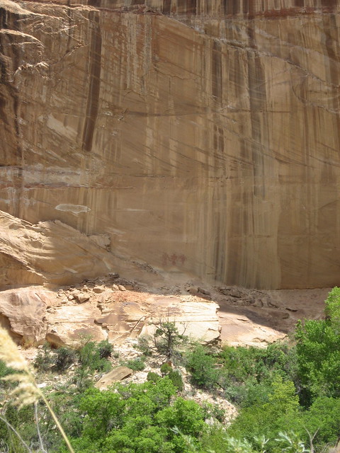
Looking up at some granaries & pictographs
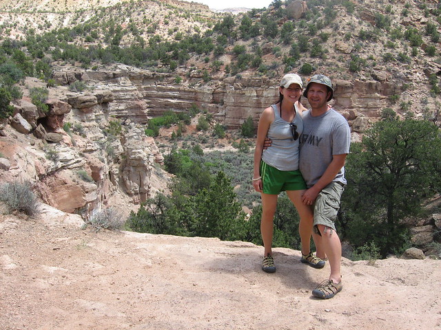
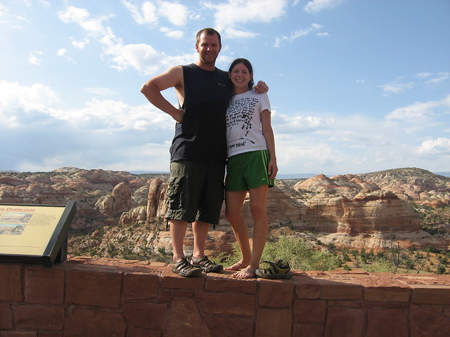
Alene and I on the trail

Russ & Randa

Nate & Krystal
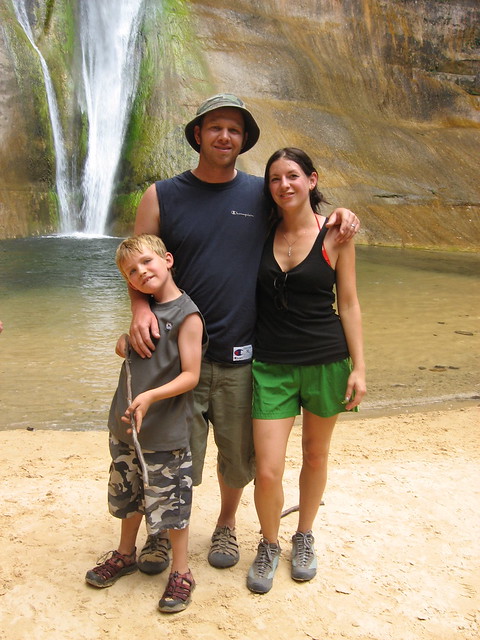
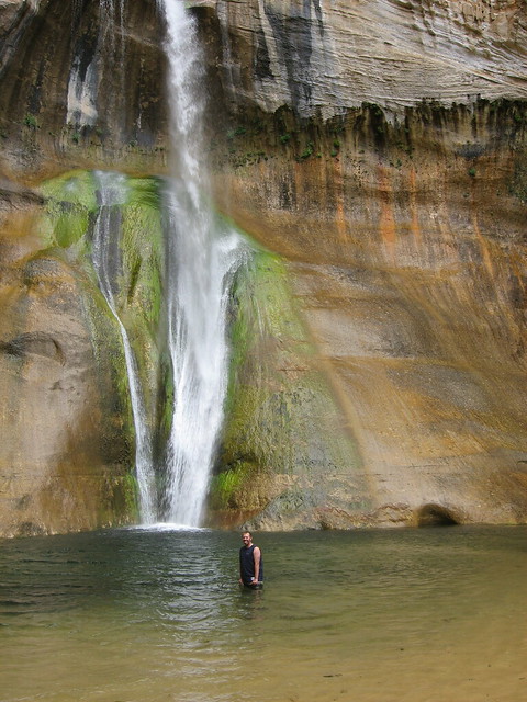
We finally arrived at the falls and could not believe how beautiful it was. The water was COLD, but I opted (on a dare) to take a dip
Looking back at the falls as we were leaving
Selfie on the way out
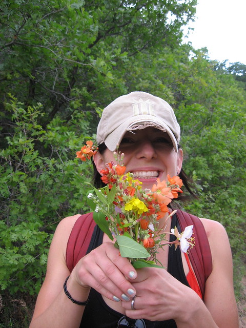
Alene and her wild flowers
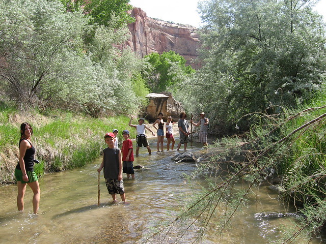
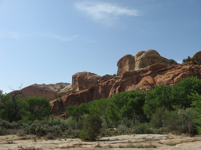
After Calf Creek we drove down the Hwy a bit to the Escalante River area. We didn't have a serious plan, but we thought we could find some ruins by river walking up a ways. The river was not running high/fast at all, so it was a pretty easy walk, but after a mile or so we kind of gave up and got tired of the trudge and headed on back. It was still beautiful to see how large an amazing this area is. There are many foot paths on the side of the river as well as camp sites. It would be fun to head up here and camp someday
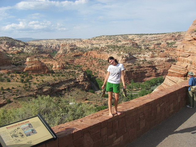
At the river overlook
Later that day we went and visited the campsite that Alene stayed at when she spent 2 months down there on her Archaeology dig. It looked so barren and started to be over-grown, but it was awesome for me to think that Alene spent 2 months in that area. It resided on some land just west of the reservoir at the state park. There was still a fire ring and a few picnic tables sitting there from when they stayed (it was on someone's private property), but it was all obviously overgrown.
Day 3
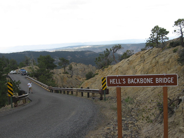
This was our last day so we packed up our cars and opted to do take our drive home through On our way home we took a scenic route up to Posey Lake, then over the Hells Backbone bridge onto Boulder, UT.
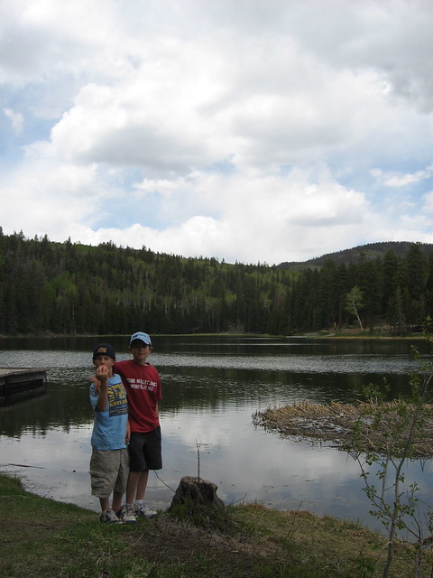
Wes and Riley (brothers) at Posey Lake
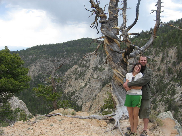
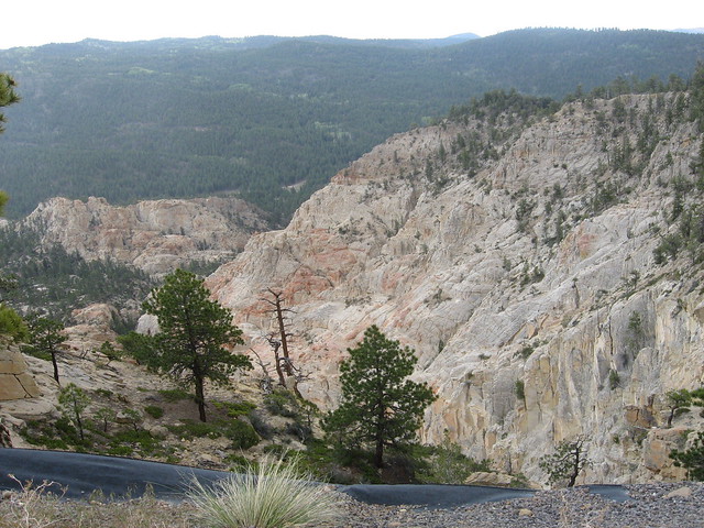
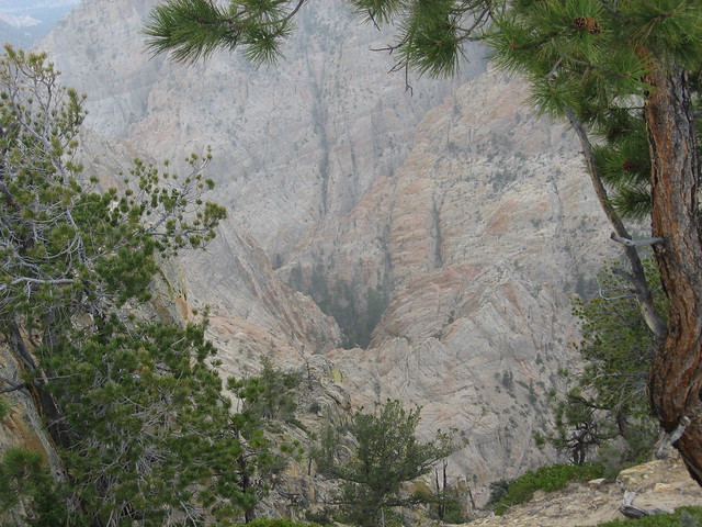
At Hells Backbone. This place had amazing views.
Loved this tree that had been beaten up by the high winds that come through here
From there we headed on down the road, into Boulder, then back home to SLC. I loved this trip and didn't want it to end, wishing I had more time to explore the area. Can't wait to go back.
My wife Alene fell in love with this area 6 years ago when she spent 2 months down here on an Archaeology dig while she attended BYU. She had been wanting to return badly and being that I'm still a desert novice, we felt it was a good time to break me in by starting off with one of the very narrow slot canyons in Utah.
Day 1
We drove down caravan style bringing along one of my nephews (Wes), my son Caiden, Alene and I in our truck. Jeff & Mandi, Krystal & Nate followed behind in their car. This was my first view of an area of Utah that I found extreme beauty (Boulder mountain area). That drive from Loa through Teasdale, on up through Boulder, then winding along that amazing ridge that takes you down into Escalante was one of the most beautiful drives I've ever seen.
We immediately headed down the hole in the rock road as we entered Escalante and made the 30 mile drive down to the Dry Fork parking area to hike the Peekaboo and Spooky gulch loop
boys and girls at the trail head
Winding down into Dry Fork
After walking down a sandy wash a bit, Peekaboo gulch appears on the left. This was an awesome entrance because it required a bit of climbing, but also had a couple of cool little arches once you were up inside
Climbing up
The couple of arches. There was a group in front of us who we eventually passed
This was a very narrow canyon and we were in for even more narrows at Spooky
Krystal and Nate
I scrambled my way up above the group and took a picture of them below
Once out of the narrows of Peekaboo, it opens up really wide. You can continue down the wide wash to another set of narrows, but we chose to head SE up over a ridge to our right and follow the cairned trail to Spooky gulch. As we came over the top, there was this HUGE sandy wash. I could only imagine the amount of water that flashes through here during a storm, then empties into Spooky (spooky entrance is on the right)
In Spooky. This slot was narrow the whole way
A little bridge you have to go under
More narrows
We came to this choke stone area that had a good 6' drop you had to kind of shimmy through, then do an assist to get down to the bottom
Jeff doing his zombie scramble
More narrows
It got really dark at times
Me coming out of the narrowest section; got a little claustrophobic here
We stopped toward the end of Spooky where it opened up a bit to have lunch
After our exit we did some sand slogging back up dry fork on up to our cars
Looking back at dry fork
From there we drove back up hole in the rock and decided to stop and check out the Devils Garden area
Jeff up on top
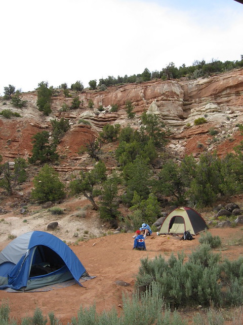
It started to get a little rainy (check out the sky) so we hung around a bit longer, then headed to our campsites at Escalante State Park
It rained a tiny bit after getting set up, but quickly dried up (in typical Utah desert fashion). After it dried up we decided to do a little hike up around the 1 mile petrified forrest loop. Some people don't care for this, but I thought it was cool to see all the petrified wood up there. The trail isn't the most beautiful, but it was nice to get up there and do a little stroll around in the evening
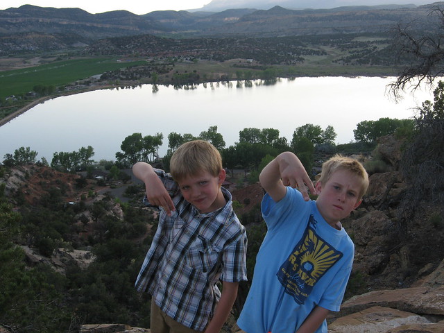
The boys with the reservoir behind them
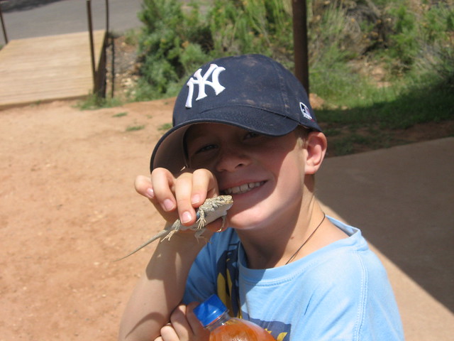
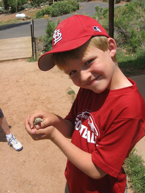
We caught a lizard on our way down and the boys had fun handling it
We had an awesome campsite at the back of the loop. Later that night we would be serenaded by Coyotes up on that ridge above us. Scared the shit out of us as it was so loud and close (and 2am)
Later that evening my brother Russ and his wife Randa showed up along with our other nephew Riley. Riley got a little car sick on the way down (you can see him in the above picture next to his tent riding out the upset stomach; poor guy)
Day 2
On day 2 our plan was to hike up Calf Creek falls, then head over to do a little hiking up the Escalante River a bit to see if we can find some ruins. Calf Creek is a beautiful 5.5 mile round trip hike. Along the way you'll see several ruins high up on the canyon walls. The end is a beautiful tall waterfall with a nice deep pool that I'd imagine is nice to swim in the late summer.
On the trail
Looking up at some granaries & pictographs
Alene and I on the trail
Russ & Randa
Nate & Krystal
We finally arrived at the falls and could not believe how beautiful it was. The water was COLD, but I opted (on a dare) to take a dip
Looking back at the falls as we were leaving
Selfie on the way out
Alene and her wild flowers
After Calf Creek we drove down the Hwy a bit to the Escalante River area. We didn't have a serious plan, but we thought we could find some ruins by river walking up a ways. The river was not running high/fast at all, so it was a pretty easy walk, but after a mile or so we kind of gave up and got tired of the trudge and headed on back. It was still beautiful to see how large an amazing this area is. There are many foot paths on the side of the river as well as camp sites. It would be fun to head up here and camp someday
At the river overlook
Later that day we went and visited the campsite that Alene stayed at when she spent 2 months down there on her Archaeology dig. It looked so barren and started to be over-grown, but it was awesome for me to think that Alene spent 2 months in that area. It resided on some land just west of the reservoir at the state park. There was still a fire ring and a few picnic tables sitting there from when they stayed (it was on someone's private property), but it was all obviously overgrown.
Day 3
This was our last day so we packed up our cars and opted to do take our drive home through On our way home we took a scenic route up to Posey Lake, then over the Hells Backbone bridge onto Boulder, UT.
Wes and Riley (brothers) at Posey Lake
At Hells Backbone. This place had amazing views.
Loved this tree that had been beaten up by the high winds that come through here
From there we headed on down the road, into Boulder, then back home to SLC. I loved this trip and didn't want it to end, wishing I had more time to explore the area. Can't wait to go back.
