- Joined
- Aug 9, 2007
- Messages
- 12,955
I had to take most of April off from camping to deal with health issues, then toward the end of the month I learned I'd probably be getting a revision surgery done on my knee around mid-May. That left a small window to get out and do some much needed boat camping to keep me sane through all of this.
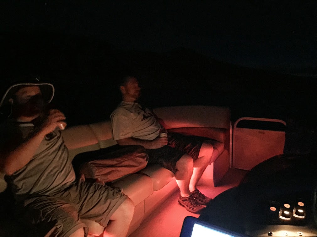
We loaded up the boat and headed south from Salt Lake on Thursday. Nate met me at my place and we picked up @slc_dan and @wes242 along the way. Usually when we get down there after dark we'll stop and car camp some place, but we were psyched to get out on the water, so we did something new. Night launching! I'd never even really boated in the dark, and Lake Powell is full of obstacles, but with a new spotlight in hand and some pretty good sonar charts, we set sail under a nearly full moon. We didn't have far to go, thankfully. I scouted out some beaches on Google Earth further up in Bullfrog Bay. The trickiest part was working our way around all the dozens of buoys placed randomly around the buoy fields and slips. The guys settled in with some beers while I navigated.
Not a great shot, but it's the only one I got that night. It was a pretty cool experience to cruise around the bay at night under a big, bright moon.
The next morning we packed up camp and headed down lake. We stopped to see the pothole arch near Lake Canyon. It was just the right height to motivate Nate and Dan to go jump off of it.

And on we went, stopping next to do a little fishing near Annie's Canyon. Wes pulled out a nice Walleye and some Smallmouth were caught amongst the group.

Mya, meet Walleye.

Next we took a drive up Iceberg Canyon and found a beach to stop and have lunch.


Heading further south, we took a quick turn into Bowns Canyon. The campsite I stayed at last May was under water still, but not by much. I could see my tent spot maybe 2 feet under as we pulled up closer to the waterfall.

Eventually we made it to our destination, the Escalante Arm. You can't go through there without stopping to see the Cathedral In The Desert. We killed the motor and let the sound of Dan's guitar echo through the space. The only other sound was the waterfall trickling.


We continued up the Escalante all the way to the end. I was surprised to see the depth quickly go down to about 4-5 feet with several hundred yards of lake still to go. The result of silt dropping from the muddy water, I suspect. There aren't a lot of sandy campsites in the Escalante, but we just happened to find a good one right there at the end. This shot was taken the next morning, looking up canyon. There is a nice stabilized ruin called Three Roof Ruin right up in that alcove. It is nearly impossible to reach in low water levels but Dan was able to climb up to it. I'm not sure why the park service put those ugly orange buoys in place here. It's the only place on the lake I've seen anything like that.

I didn't take many photos at that campsite. In fact, I didn't take that many on this trip at all. I just didn't have the motivation I guess. The next morning I trimmed the motor up to see how close to the flowing Escalante we could get.

Riffles from the Escalante River where it meets Lake Powell.


At one point I actually pulled the boat right into the flowing Escalante. My depth meter read 1.5 feet. It was kind of neat. The river ended right here on this day: 37.361978, -110.943846.

And then on to more uplifting pursuits. It was getting hot. The forecast called for nearly 90˚.

Nate getting his shred on.


After wearing out the guys on the wakeboard, we went to Willow Gulch to explore and fish. The water was glassy with an eerie green tint.


We didn't make it far up Willow before hitting the end of the road. Next up, we explored Bishop Creek. There was a ton of driftwood so we didn't make it too far, but we did find a great little alcove that made a great spot to stop and have lunch.


Nate and Dan on driftwood patrol on the way out of Bishop.

Back out on the Escalante. It was just an incredibly nice day out.

Desert varnish reclaiming the bathtub ring.

Next up: Davis Gulch.

Some moki steps in Davis Gulch.

The end of the water was still a bend or two away from La Gorce Arch. I wanted to try and walk up to it but there were three boats tied up at the end and we didn't feel like bothering them.

So instead we found a small beach in Davis and got out for a swim.

Back out in the main channel, we went to check out the Black Trail fin. I've been wanting to see if this goes for a while now. It's in guidebooks but not much else is said. The view of it on Google Earth looks so incredibly unlikely.

Dan volunteered to walk it.


Yep, it goes. Excited to use this sometime for a longer hike. Dan said that the really narrow section had some carved steps and that it had a lot of exposure but solid footing.

Going through the narrow part. It would be about 110-120 foot fall from right there.

We spent the afternoon fishing the Escalante. Fishing wasn't super hot but we did okay for smallmouth bass and Nate got a Walleye. Once we made it to the main channel, we went south looking for another campsite. We stopped in Ribbon Canyon and found this old sunken boat, now high and dry.

We found a campsite with plenty of beach that night, but it had a bit of lake stink going on. We spent the evening catching more fish, lounging around and cooking dinner. It got windy but calmed down here and there. There was one point after dark that it got totally calm for about a half hour. Perfect mirror image reflections in the water with a nearly full moon lighting it up. I should have gotten my camera out, but I didn't.

The next day was forecasted to be quite nice, but we woke up to stormy skies. I put the throttle down and raced back to Bullfrog. We avoided heavy rain and just got a few sprinkles along the way.

The Wingate-Chinle break near the south end of the Waterpocket Fold.

All around, a very, very nice trip. Can't wait to get back.
We loaded up the boat and headed south from Salt Lake on Thursday. Nate met me at my place and we picked up @slc_dan and @wes242 along the way. Usually when we get down there after dark we'll stop and car camp some place, but we were psyched to get out on the water, so we did something new. Night launching! I'd never even really boated in the dark, and Lake Powell is full of obstacles, but with a new spotlight in hand and some pretty good sonar charts, we set sail under a nearly full moon. We didn't have far to go, thankfully. I scouted out some beaches on Google Earth further up in Bullfrog Bay. The trickiest part was working our way around all the dozens of buoys placed randomly around the buoy fields and slips. The guys settled in with some beers while I navigated.
Not a great shot, but it's the only one I got that night. It was a pretty cool experience to cruise around the bay at night under a big, bright moon.
The next morning we packed up camp and headed down lake. We stopped to see the pothole arch near Lake Canyon. It was just the right height to motivate Nate and Dan to go jump off of it.
And on we went, stopping next to do a little fishing near Annie's Canyon. Wes pulled out a nice Walleye and some Smallmouth were caught amongst the group.
Mya, meet Walleye.
Next we took a drive up Iceberg Canyon and found a beach to stop and have lunch.
Heading further south, we took a quick turn into Bowns Canyon. The campsite I stayed at last May was under water still, but not by much. I could see my tent spot maybe 2 feet under as we pulled up closer to the waterfall.
Eventually we made it to our destination, the Escalante Arm. You can't go through there without stopping to see the Cathedral In The Desert. We killed the motor and let the sound of Dan's guitar echo through the space. The only other sound was the waterfall trickling.
We continued up the Escalante all the way to the end. I was surprised to see the depth quickly go down to about 4-5 feet with several hundred yards of lake still to go. The result of silt dropping from the muddy water, I suspect. There aren't a lot of sandy campsites in the Escalante, but we just happened to find a good one right there at the end. This shot was taken the next morning, looking up canyon. There is a nice stabilized ruin called Three Roof Ruin right up in that alcove. It is nearly impossible to reach in low water levels but Dan was able to climb up to it. I'm not sure why the park service put those ugly orange buoys in place here. It's the only place on the lake I've seen anything like that.
I didn't take many photos at that campsite. In fact, I didn't take that many on this trip at all. I just didn't have the motivation I guess. The next morning I trimmed the motor up to see how close to the flowing Escalante we could get.
Riffles from the Escalante River where it meets Lake Powell.
At one point I actually pulled the boat right into the flowing Escalante. My depth meter read 1.5 feet. It was kind of neat. The river ended right here on this day: 37.361978, -110.943846.
And then on to more uplifting pursuits. It was getting hot. The forecast called for nearly 90˚.
Nate getting his shred on.
After wearing out the guys on the wakeboard, we went to Willow Gulch to explore and fish. The water was glassy with an eerie green tint.
We didn't make it far up Willow before hitting the end of the road. Next up, we explored Bishop Creek. There was a ton of driftwood so we didn't make it too far, but we did find a great little alcove that made a great spot to stop and have lunch.
Nate and Dan on driftwood patrol on the way out of Bishop.
Back out on the Escalante. It was just an incredibly nice day out.
Desert varnish reclaiming the bathtub ring.
Next up: Davis Gulch.
Some moki steps in Davis Gulch.
The end of the water was still a bend or two away from La Gorce Arch. I wanted to try and walk up to it but there were three boats tied up at the end and we didn't feel like bothering them.
So instead we found a small beach in Davis and got out for a swim.
Back out in the main channel, we went to check out the Black Trail fin. I've been wanting to see if this goes for a while now. It's in guidebooks but not much else is said. The view of it on Google Earth looks so incredibly unlikely.
Dan volunteered to walk it.
Yep, it goes. Excited to use this sometime for a longer hike. Dan said that the really narrow section had some carved steps and that it had a lot of exposure but solid footing.
Going through the narrow part. It would be about 110-120 foot fall from right there.
We spent the afternoon fishing the Escalante. Fishing wasn't super hot but we did okay for smallmouth bass and Nate got a Walleye. Once we made it to the main channel, we went south looking for another campsite. We stopped in Ribbon Canyon and found this old sunken boat, now high and dry.
We found a campsite with plenty of beach that night, but it had a bit of lake stink going on. We spent the evening catching more fish, lounging around and cooking dinner. It got windy but calmed down here and there. There was one point after dark that it got totally calm for about a half hour. Perfect mirror image reflections in the water with a nearly full moon lighting it up. I should have gotten my camera out, but I didn't.
The next day was forecasted to be quite nice, but we woke up to stormy skies. I put the throttle down and raced back to Bullfrog. We avoided heavy rain and just got a few sprinkles along the way.
The Wingate-Chinle break near the south end of the Waterpocket Fold.
All around, a very, very nice trip. Can't wait to get back.
")
