- Joined
- Dec 23, 2013
- Messages
- 4,116
On Sunday, I headed out with the intent of hiking from Ensign Peak, along the north ridge of City Creek Canyon, to Grandview Peak at the head of City Creek. This route is about 23.3 miles round trip as I would return back the same way that I hiked in. I've been contemplating this hike for a few years, but snow a couple of years ago, and a very wet spring last year, kept me home. I really wasn't interested in doing the hike after it becomes too hot, knowing that the heat would wear me out.
So I began the hike at 4:55 am at the Ensign Peak Trailhead and made my way east along the ridge. Along the way, I stopped for a quick break at Dude Benchmark, passed through Rudy's Flat, and eventually made my way up to the ridge between Burro and Grandview Peaks. This is where my outing would have to end though as a nasty storm drove me off the ridge before reaching Grandview. I hadn't prepared for bad weather, so to be safe, I turned around and headed back down. I ended up hiking 20 miles, but just fell short of my goal.
Other than a couple of tents that I saw set up in the trees at Rudy's Flat (never saw the inhabitants), I didn't see anybody else along the way, until on my return, as I got fairly close to Ensign Peak again.
The wildflowers were plentiful all along the way, up until I hit consistent snow heading up into the mountains after Rudy's Flat. I also saw eight deer, a couple of chukars, and six hawks throughout the day.
I guess I'll have to muster up the energy to give it another go next spring.
Here are some images of my hike along the ridge.
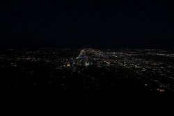
Downtown Salt Lake City, just after 5:00 am
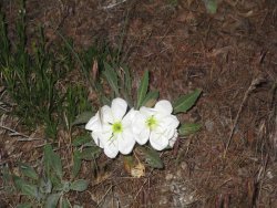
Evening Primrose in the dark
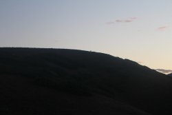
Can you make out a couple of deer silhouettes along the ridge?
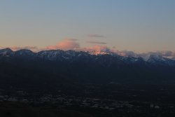
Sunrise on the Wasatch
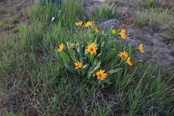
Mules Ear were plentiful along the ridge
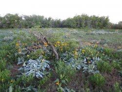
A mix of Mules Ear and Arrowleaf Balsamroot
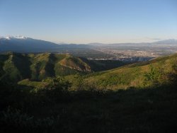
The sun beginning to hit the mouth of City Creek Canyon
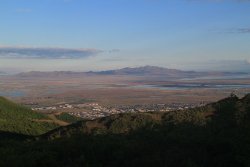
Looking west towards Antelope Island
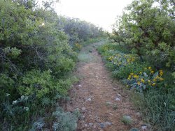
Typical of the trail (old Jeep road) up to Dude Benchmark
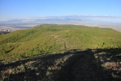
About 2.5 hours in at this point, looking back the way I had hiked in
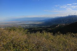
Looking north into Davis County
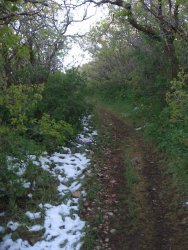
First snow of the hike
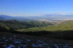
Looking down City Creek Canyon and towards the Salt Lake Valley
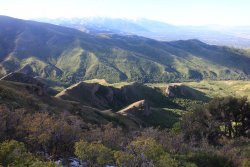
Some interesting formations in City Creek
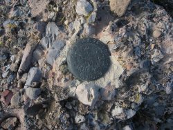
The Dude Benchmark
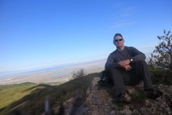
The Dude abides! On Dude Benchmark
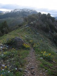
The way forward. The old Jeep road ends at Dude Benchmark and a single track proceeds east.
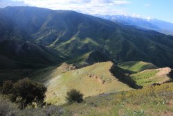
Looking down into City Creek, with a touch of snow on the slope
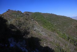
Very hilly along the foothill ridge before reaching the mountains proper
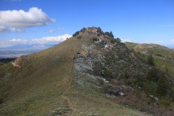
Another hill
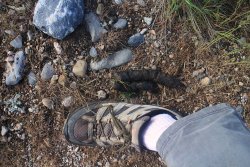
Coyote or cougar? My shoe is a size 11. @Outdoor_Fool
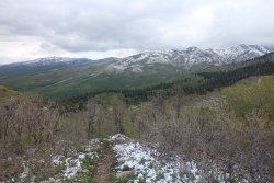
Trails turns north at this point
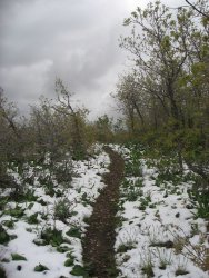
Starting to see more snow before Rudy's Flat
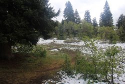
Rudy's Flat
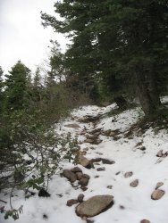
Snowy trail as I start to head up into the mountains east of Rudy's Flat
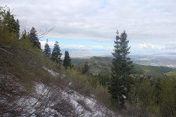
Looking back west, along the ridge
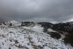
Clouds look threatening?
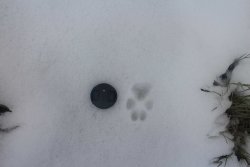
Coyote track
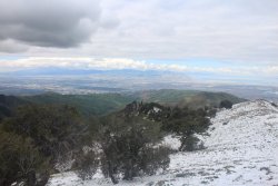
Looking down City Creek Canyon
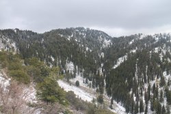
Still some elevation to tackle
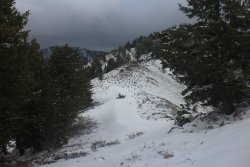
Still some snow drifts on the north side of the ridge
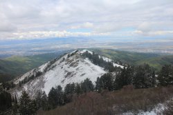
Looking back along the ridge once again
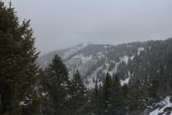
Almost to the Grandview ridge, starting to snow at this point though I continued on up to the ridge.
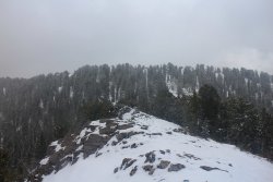
Making my way to the top of the ridge
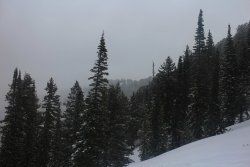
Looking towards Grandview, but it can no longer be seen due to cloud cover. Once on the ridge, the cloud had engulfed me too
and the snow and wind had picked up, so I decided to call it a day as I was beginning to get cold. I reversed course and made my
way down to find a spot to eat some lunch. Scatman was getting hungry!
Earthquake! I didn't make it to my spot before the self timer went off.
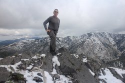
Much better! Where I stopped for lunch. The tongue is out because I didn't reach the peak.
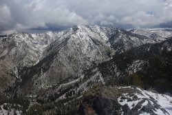
My lunchtime view of the Sessions Mountains
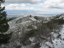
Heading back down
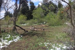
Back at Rudy's Flat - the snow has melted some.
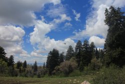
I thought this helicopter was there to rescue me.
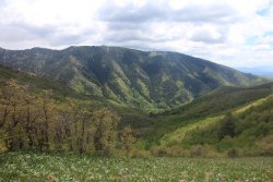
Black Mountain Ridge across City Creek Canyon
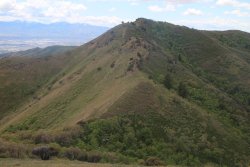
Hills! They wore me out on my return to the trailhead.
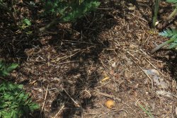
Back at Dude Benchmark for a quick break and an energy bar. Hey @Rockskipper? Remember the ant nest I sat in while getting
ready to ford Chipmunk Creek in Yellowstone? Well, I did it again. I sat my day pack right on top of this nest without realizing it.
The next thing I knew, ants were biting me up my pant legs and had covered my day pack. I guess I need a chapter in my guide book
about ants.
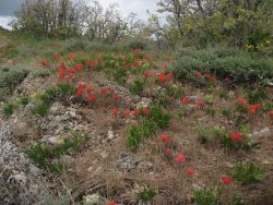
Paintbrush was plentiful along the trail
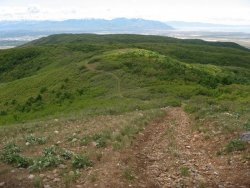
The Long and Winding Road that leads to your door. Will never disappear, I've seen that road before.
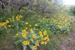
Arrowleaf Balsamroot in abundance
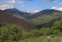
A look up City Creek Canyon, where I was about six hours before
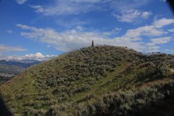
Back at Ensign Peak
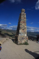
The monument on Ensign
Nice to know the Jeep is still at the trailhead upon my return.
The End
So I began the hike at 4:55 am at the Ensign Peak Trailhead and made my way east along the ridge. Along the way, I stopped for a quick break at Dude Benchmark, passed through Rudy's Flat, and eventually made my way up to the ridge between Burro and Grandview Peaks. This is where my outing would have to end though as a nasty storm drove me off the ridge before reaching Grandview. I hadn't prepared for bad weather, so to be safe, I turned around and headed back down. I ended up hiking 20 miles, but just fell short of my goal.
Other than a couple of tents that I saw set up in the trees at Rudy's Flat (never saw the inhabitants), I didn't see anybody else along the way, until on my return, as I got fairly close to Ensign Peak again.
The wildflowers were plentiful all along the way, up until I hit consistent snow heading up into the mountains after Rudy's Flat. I also saw eight deer, a couple of chukars, and six hawks throughout the day.
I guess I'll have to muster up the energy to give it another go next spring.
Here are some images of my hike along the ridge.

Downtown Salt Lake City, just after 5:00 am

Evening Primrose in the dark

Can you make out a couple of deer silhouettes along the ridge?

Sunrise on the Wasatch

Mules Ear were plentiful along the ridge

A mix of Mules Ear and Arrowleaf Balsamroot

The sun beginning to hit the mouth of City Creek Canyon

Looking west towards Antelope Island

Typical of the trail (old Jeep road) up to Dude Benchmark

About 2.5 hours in at this point, looking back the way I had hiked in

Looking north into Davis County

First snow of the hike

Looking down City Creek Canyon and towards the Salt Lake Valley

Some interesting formations in City Creek

The Dude Benchmark

The Dude abides! On Dude Benchmark

The way forward. The old Jeep road ends at Dude Benchmark and a single track proceeds east.

Looking down into City Creek, with a touch of snow on the slope

Very hilly along the foothill ridge before reaching the mountains proper

Another hill

Coyote or cougar? My shoe is a size 11. @Outdoor_Fool

Trails turns north at this point

Starting to see more snow before Rudy's Flat

Rudy's Flat

Snowy trail as I start to head up into the mountains east of Rudy's Flat

Looking back west, along the ridge

Clouds look threatening?

Coyote track

Looking down City Creek Canyon

Still some elevation to tackle

Still some snow drifts on the north side of the ridge

Looking back along the ridge once again

Almost to the Grandview ridge, starting to snow at this point though I continued on up to the ridge.

Making my way to the top of the ridge

Looking towards Grandview, but it can no longer be seen due to cloud cover. Once on the ridge, the cloud had engulfed me too
and the snow and wind had picked up, so I decided to call it a day as I was beginning to get cold. I reversed course and made my
way down to find a spot to eat some lunch. Scatman was getting hungry!

Earthquake!

Much better! Where I stopped for lunch. The tongue is out because I didn't reach the peak.

My lunchtime view of the Sessions Mountains

Heading back down

Back at Rudy's Flat - the snow has melted some.

I thought this helicopter was there to rescue me.

Black Mountain Ridge across City Creek Canyon

Hills! They wore me out on my return to the trailhead.

Back at Dude Benchmark for a quick break and an energy bar. Hey @Rockskipper? Remember the ant nest I sat in while getting
ready to ford Chipmunk Creek in Yellowstone? Well, I did it again.
The next thing I knew, ants were biting me up my pant legs and had covered my day pack. I guess I need a chapter in my guide book
about ants.

Paintbrush was plentiful along the trail

The Long and Winding Road that leads to your door. Will never disappear, I've seen that road before.

Arrowleaf Balsamroot in abundance

A look up City Creek Canyon, where I was about six hours before

Back at Ensign Peak

The monument on Ensign

Nice to know the Jeep is still at the trailhead upon my return.
The End
Last edited:
