- Joined
- Dec 23, 2013
- Messages
- 4,124
Have you ever heard the saying "the whole enchilada?" How about "the whole nine yards," or perhaps "the whole ball of wax?" Maybe even "the whole shebang?" Those terms mean that one competes the lengthy task at hand. Well, Scatman wasn't able to pull it off. In other words, his eyes were too big for his stomach. 
So on Saturday, I was up at 3:00 am, ate my breakfast, and headed out to park my Jeep at the Grandeur Peak West Slope Trailhead, located at the north end of Wasatch Boulevard. My good buddy Danny met me at my Jeep at 4:00 am, and then we proceeded to head up Millcreek Canyon to the Big Water Trailhead. While adjusting my hiking poles to the correct length, the batteries on my headlamp died. I brought an extra set of batteries, but I didn't want to take the time to change them right then, knowing that I had time to change them later in the day in case I needed them for hiking in the dark that evening.
My day pack included six 32 oz. Nalgene water bottes, two of which were frozen, and on 32 oz. bottle of Strawberry Watermelon Gatorade. I also packed a lunch and dinner which consisted of one peanut butter sandwich, some zesty jalapeno Triscuits, a snack bag full of jalapeno ranch pretzels, one medium gala apple, a slice of pepper jack cheese, and a few carrot sticks and broccoli crowns. I also had stashed in one of my kilt pockets, a package of trail mix, fig newtons, two Think Bars, and some energy chews. Rounding out my pack was a tripod, a long sleeved shirt, my sun hat, and a small dry bag that included little knick-knacks plus my wallet and keys.
I had assumed that the ridge traverse would take me somewhere between sixteen and nineteen hours to complete, or roughly sometime between 8:00 and 11:00 pm.
At exactly 4:31 am, Danny and I took off from the trailhead. Danny would hike with me for about 25 minutes before turning around and heading back to his vehicle. Since my headlamp was useless at this point, Danny used his light so that we could see where we were going. It was a rather dark morning. When Danny turned around, he insisted that I take his headlamp, but I refused. The first ten to fifteen minutes on hiking of in the dark were rather interesting, but then it began to lighten up a bit and I was good to go.
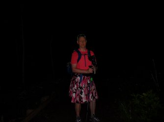
Just off the trailhead
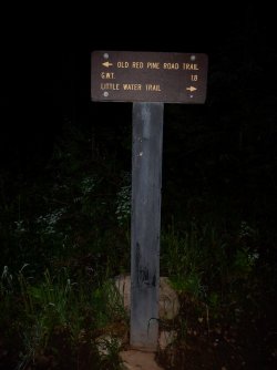
Trail junction sign - we went left. I think either way gets you to the same place though.
My first point of interest heading east was a junction with a social trail that would take me to the summit of Murdock Peak. Murdock Peak is on the eastern side of the Millcreek Ridge, and borders the old Park West ski resort (not sure what they call it now), located on the Park City side of things. I had to look carefully for this junction because the social trail is grown up a bit, and would be easy to miss, especially in poor light.
Once on the trail, I ran into some deer that seemed curious to see someone at this time of the morning. And as I made my way up the ridge to sun popped out over the distant Uinta Mountains to the east. Nest up was the summit of Murdock Peak, where I stopped and put some sunscreen on, took some pictures, and gazed out to the west to see what lay before me.
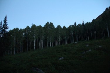
Nearing the social trail along a grove of aspen
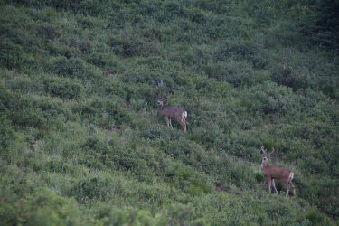
Two of the six deer I encountered while gaining the ridge
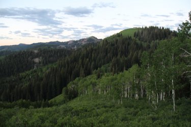
Before dawn light looking in the direction of Park City
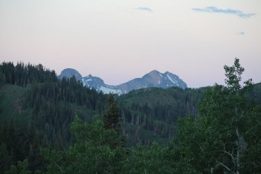
No sunlight yet on Broads Fork Twin Peaks, Sunrise Peak, or Dromedary Peak
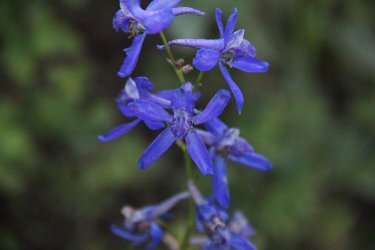
Larkspur - the wildflowers were plentiful along the ridge
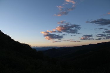
Just before sunrise, with the Uintas in the far distance
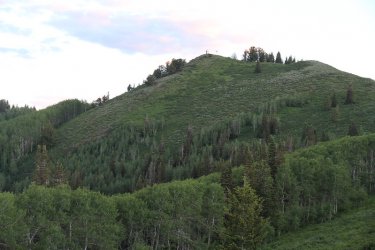
Looking up at Murdock Peak
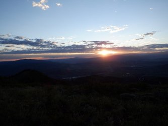
The morning sun
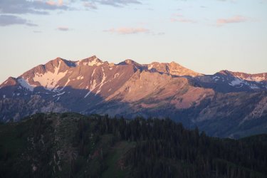
Sunlight hitting a section of the Cottonwood Ridgeline
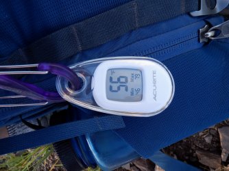
56 degrees at the Murdock Peak summit. It would begin to warm up rather quickly though.
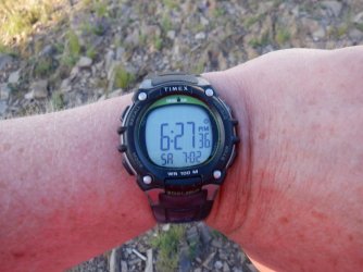
One hour and fifty six minutes to the top.
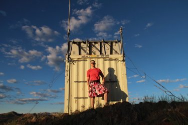
A quick selfie
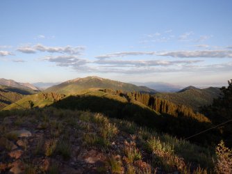
A view to the west, with Gobbles Knob and Mount Raymond just above the center of the image. Grandeur Peak is in the upper right
of the image, where I had hoped to have finished the traverse.
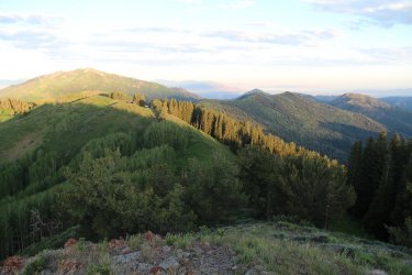
A little better shot of the Millcreek Ridgeline from the summit of Murdock Peak. On this shot, you can see all the major peaks of the
ridgeline, with Millvue, Mount Aire, Church Fork, and Grandeur at the very end, just peeking above the ridgeline.
At this point, it was just head west along the ridgeline, so lets go.
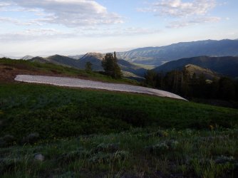
The only snow that I encountered on the ridge - just off Murdock Peak
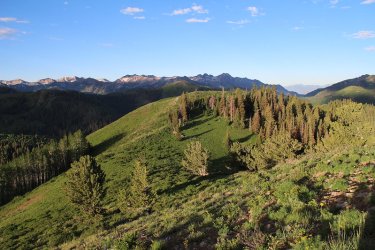
Lots of ridge pictures ahead, with the Cottonwood Ridge in the distance
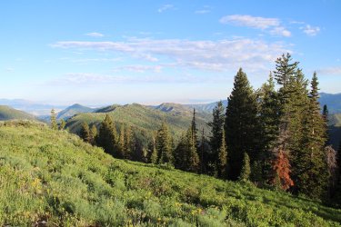
Looking west along the ridge
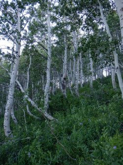
First major bushwhack I encountered.
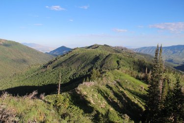
I hiked through a lot of knee deep shrubs while traversing the ridge - mostly snowbrush ceanothus, or otherwise known as greasewood
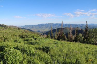
The north City Creek Ridge and Grandview Peak to the north
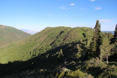
Heading towards unnamed peak 8939
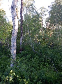
Major bushwhack number two.
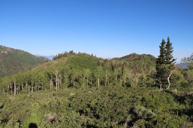
Shrub city, with and aspen grove ahead
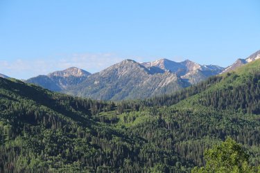
View to the south of the eastern portion of the Cottonwood Ridge
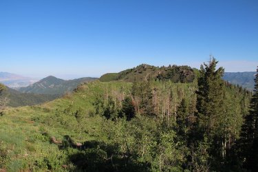
More western views - heading towards unnamed peak 9074
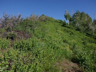
Lots of horsemint which smelled nice. Just and up and down kind of day.
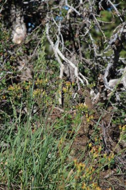
Can you see the grouse?
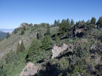
Unnamed peak 9074 just ahead
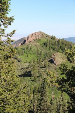
View from 9074 towards unnamed peak 9000 and some small change. It has a nice
prominent rock formation to it.
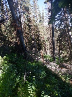
Major bushwhack number three. This one was particularly nasty.
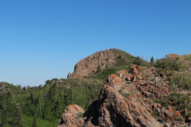
Still some minor hills to reach 9000 and small change.
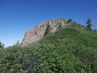
If only there weren't any shrubs, I could have probably been there by now.
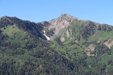
A peek to the south at the summit of Gobblers Knob and Alexander Basin
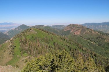
Another view to the west, from the summit of 9000 and small change. Millvue Peak is directly ahead, with a nice look at Mount Aire
too, and of course Grandeur next to the Salt Lake Valley
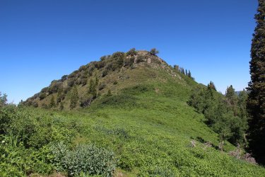
Looking up at Millvue. I had to do some slight scrambling off of 9000 and small change
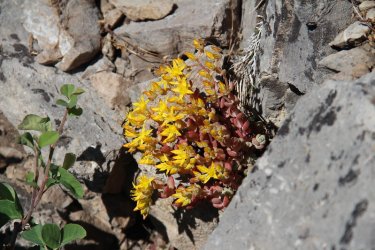
Stonecrop, just off the summit of Millvue Peak
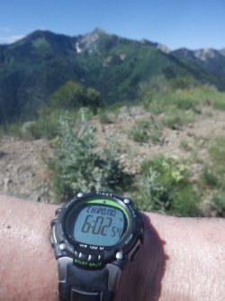
Time to reach the summit of Millvue Peak
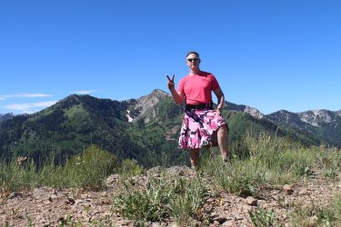
Summit shot on Millvue, with Alexander Basin beyond.
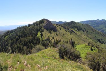
A look back at 9000 and small change from the summit of Millvue
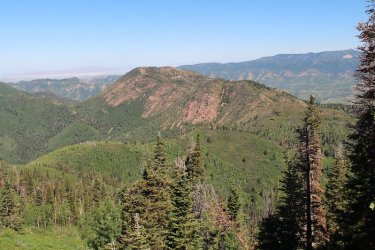
First good look of unnamed peak 8490 and Mount Aire beyond
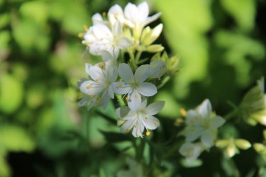
Western Labrador Tea?
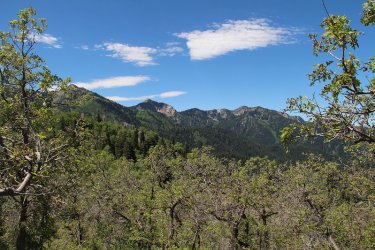
First good view of Mount Raymond on Wildcat Ridge to the south
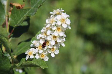
Choke Cherry and a Ornate Checkered Beetle
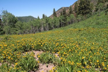
A meadow full of mule's ears.
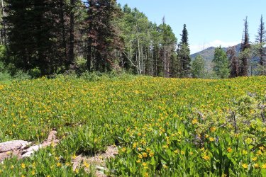
The rest of the meadow - looking northeast
At this point, I was at the halfway point of my journey at approximately 8.25 miles. It had taken me seven hours and two minutes to reach this point. I felt like I was making reasonably good time considering. I was looking forward to lunch on Mount Aire.
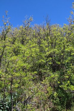
Major bushwhack number four. To gain the ridge and unnamed peak 8319 from the
saddle, I had to go through this. Scrub oak is never fun to make your way through, and
this stretch took a toll on me, plus the day was really heating up.
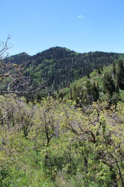
Looking back (R-L) at Millvue and 9000 with small change during the scrub oak bushwhack
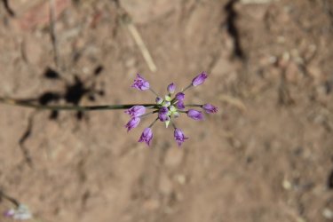
Hooker's onion on the scrub oak bushwhack
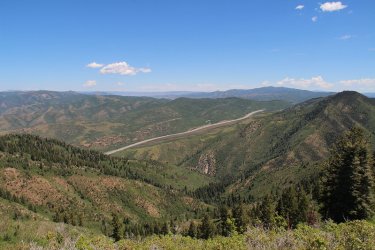
Once back on the ridge, one gets the first view of Parleys Canyon to the north.
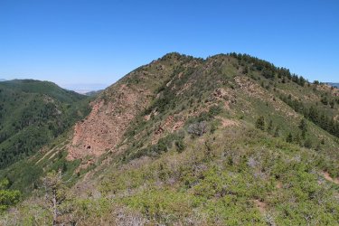
Unnamed Peak 8490 ahead - I'm slowing down at this point with a lot of short scrub oak and shrubs to contend with. The top of
Burch Hollow and Church Fork Peak is visible to the left of center.
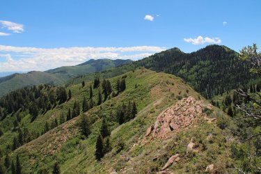
Looking back along the Millcreek Ridge to the east. Murdock Peak is the furthest peak just above the center of the image to the left.
Also Millvue and 9000 and small change Peaks
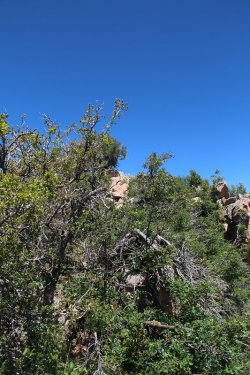
It was like this most of the way to Mount Aire. Aargh!
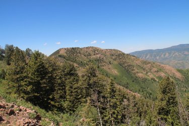
Mount Aire ahead
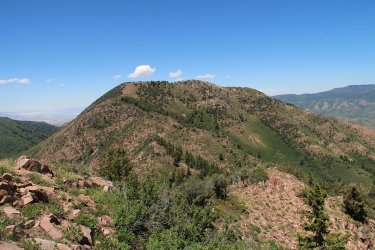
More Mount Aire. I am getting closer, but at this point I am starting to feel a touch nauseous. Also at this point I realized that I
had lost two of my water bottles in the bushwhack up the ridge. One was empty, and the second had maybe 4 oz. left in it.
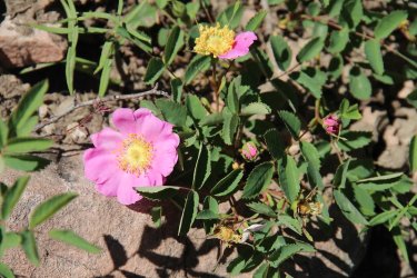
Wild rose
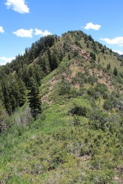
Looking back coming off of unnamed peak 8490. My pace has slowed to a crawl. That is
if it wasn't already.
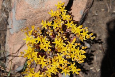
More stonecrop
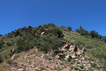
The next hill between 8490 and Mount Aire. I'm really beginning to feel bad at this point. I sat in the shade of the mountain
mahogany about half way up the image for about twenty minutes. I drank some ice water, and had a bite of one of my peanut
butter sandwich halves. I really didn't feel like eating.
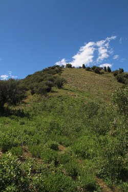
Looking up towards the summit of Mount Aire. This stretch took me forever. I had to
stop at each mountain mahogany and rest in the shade for about five minutes apiece.
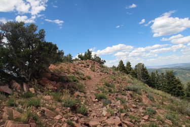
Reaching the summit of Mount Aire. I came back off the top and rested in the little shady spot you can see in the image. It had
taken me over three hours, hell almost four to go the last 1.4 miles. My thermometer read 91 degrees in that patch of shade.
So at this point I knew I couldn't make the rest of the ridge, and decide to get in touch with my wife and have her pick me up at the Elbow Fork Trailhead instead of continuing on. I then tucked my tail between my legs and headed down the Mount Aire Trail.
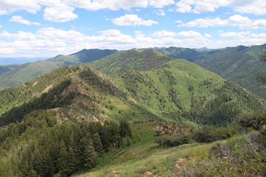
Another look back to the east along the ridgeline, with Murdock Peak way in the distance
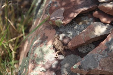
A horned lizard just off the summit of Mount Aire
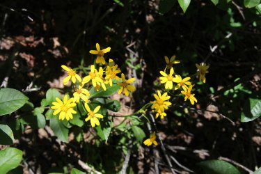
More wildflowers
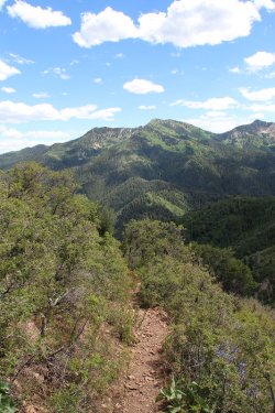
The Mount Aire Trail
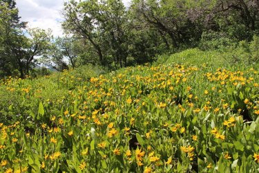
Mule's ears still popping just off the saddle
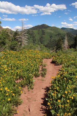
Millvue Peak above
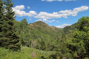
Unnamed Peaks (R-L) 8319 and 8490 that I crossed on the way to Aire.
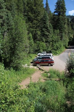
The Sube at Elbow Fork.
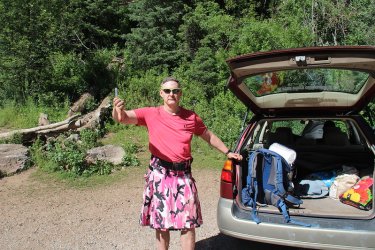
The big Thumbs Down!


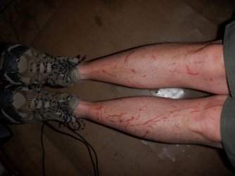
The damage
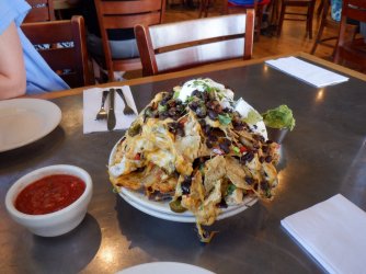
The next day, we were supposed to get celebratory nachos at the Porcupine Restaurant, but we got the defeated ones instead.
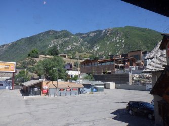
Looking out the window of the Porcupine at Ferguson Canyon and the base of Broad's Fork Twin Peaks wondering if
I could make it.
Well, I was really disappointed that I didn't finish this one. I think the heat just eventually got to me. I ended up doing eleven miles in a little over twelve hours of hiking. I guess this one is just not in my wheelhouse anymore. I ended up about a quarter mile from my water resupply stash, but I couldn't do another hill to reach it. So I'll have to head back in and pick it up, or maybe just finish off the west side of the ridge this coming weekend and get it then.
As far as solitude is concerned the only person I saw was at the summit of Mount Aire; we arrived at almost the same time, he on the trail and me following the ridgeline.
Lessons learned: At the saddle below Mount Aire, I was 4 miles from the summit of Grandeur and six miles from my Jeep. The last time I attempted this, I ended up 0.6 miles from the summit of Grandeur. I guess the almost 58 year old Scat, just didn't have what the almost 51 year old one did. Sigh!
The End.
So on Saturday, I was up at 3:00 am, ate my breakfast, and headed out to park my Jeep at the Grandeur Peak West Slope Trailhead, located at the north end of Wasatch Boulevard. My good buddy Danny met me at my Jeep at 4:00 am, and then we proceeded to head up Millcreek Canyon to the Big Water Trailhead. While adjusting my hiking poles to the correct length, the batteries on my headlamp died. I brought an extra set of batteries, but I didn't want to take the time to change them right then, knowing that I had time to change them later in the day in case I needed them for hiking in the dark that evening.
My day pack included six 32 oz. Nalgene water bottes, two of which were frozen, and on 32 oz. bottle of Strawberry Watermelon Gatorade. I also packed a lunch and dinner which consisted of one peanut butter sandwich, some zesty jalapeno Triscuits, a snack bag full of jalapeno ranch pretzels, one medium gala apple, a slice of pepper jack cheese, and a few carrot sticks and broccoli crowns. I also had stashed in one of my kilt pockets, a package of trail mix, fig newtons, two Think Bars, and some energy chews. Rounding out my pack was a tripod, a long sleeved shirt, my sun hat, and a small dry bag that included little knick-knacks plus my wallet and keys.
I had assumed that the ridge traverse would take me somewhere between sixteen and nineteen hours to complete, or roughly sometime between 8:00 and 11:00 pm.
At exactly 4:31 am, Danny and I took off from the trailhead. Danny would hike with me for about 25 minutes before turning around and heading back to his vehicle. Since my headlamp was useless at this point, Danny used his light so that we could see where we were going. It was a rather dark morning. When Danny turned around, he insisted that I take his headlamp, but I refused. The first ten to fifteen minutes on hiking of in the dark were rather interesting, but then it began to lighten up a bit and I was good to go.

Just off the trailhead

Trail junction sign - we went left. I think either way gets you to the same place though.
My first point of interest heading east was a junction with a social trail that would take me to the summit of Murdock Peak. Murdock Peak is on the eastern side of the Millcreek Ridge, and borders the old Park West ski resort (not sure what they call it now), located on the Park City side of things. I had to look carefully for this junction because the social trail is grown up a bit, and would be easy to miss, especially in poor light.
Once on the trail, I ran into some deer that seemed curious to see someone at this time of the morning. And as I made my way up the ridge to sun popped out over the distant Uinta Mountains to the east. Nest up was the summit of Murdock Peak, where I stopped and put some sunscreen on, took some pictures, and gazed out to the west to see what lay before me.

Nearing the social trail along a grove of aspen

Two of the six deer I encountered while gaining the ridge

Before dawn light looking in the direction of Park City

No sunlight yet on Broads Fork Twin Peaks, Sunrise Peak, or Dromedary Peak

Larkspur - the wildflowers were plentiful along the ridge

Just before sunrise, with the Uintas in the far distance

Looking up at Murdock Peak

The morning sun

Sunlight hitting a section of the Cottonwood Ridgeline

56 degrees at the Murdock Peak summit. It would begin to warm up rather quickly though.

One hour and fifty six minutes to the top.

A quick selfie

A view to the west, with Gobbles Knob and Mount Raymond just above the center of the image. Grandeur Peak is in the upper right
of the image, where I had hoped to have finished the traverse.

A little better shot of the Millcreek Ridgeline from the summit of Murdock Peak. On this shot, you can see all the major peaks of the
ridgeline, with Millvue, Mount Aire, Church Fork, and Grandeur at the very end, just peeking above the ridgeline.
At this point, it was just head west along the ridgeline, so lets go.

The only snow that I encountered on the ridge - just off Murdock Peak

Lots of ridge pictures ahead, with the Cottonwood Ridge in the distance

Looking west along the ridge

First major bushwhack I encountered.

I hiked through a lot of knee deep shrubs while traversing the ridge - mostly snowbrush ceanothus, or otherwise known as greasewood

The north City Creek Ridge and Grandview Peak to the north

Heading towards unnamed peak 8939

Major bushwhack number two.

Shrub city, with and aspen grove ahead

View to the south of the eastern portion of the Cottonwood Ridge

More western views - heading towards unnamed peak 9074

Lots of horsemint which smelled nice. Just and up and down kind of day.

Can you see the grouse?

Unnamed peak 9074 just ahead

View from 9074 towards unnamed peak 9000 and some small change.
prominent rock formation to it.

Major bushwhack number three. This one was particularly nasty.

Still some minor hills to reach 9000 and small change.

If only there weren't any shrubs, I could have probably been there by now.

A peek to the south at the summit of Gobblers Knob and Alexander Basin

Another view to the west, from the summit of 9000 and small change. Millvue Peak is directly ahead, with a nice look at Mount Aire
too, and of course Grandeur next to the Salt Lake Valley

Looking up at Millvue. I had to do some slight scrambling off of 9000 and small change

Stonecrop, just off the summit of Millvue Peak

Time to reach the summit of Millvue Peak

Summit shot on Millvue, with Alexander Basin beyond.

A look back at 9000 and small change from the summit of Millvue

First good look of unnamed peak 8490 and Mount Aire beyond

Western Labrador Tea?

First good view of Mount Raymond on Wildcat Ridge to the south

Choke Cherry and a Ornate Checkered Beetle

A meadow full of mule's ears.

The rest of the meadow - looking northeast
At this point, I was at the halfway point of my journey at approximately 8.25 miles. It had taken me seven hours and two minutes to reach this point. I felt like I was making reasonably good time considering. I was looking forward to lunch on Mount Aire.

Major bushwhack number four. To gain the ridge and unnamed peak 8319 from the
saddle, I had to go through this. Scrub oak is never fun to make your way through, and
this stretch took a toll on me, plus the day was really heating up.

Looking back (R-L) at Millvue and 9000 with small change during the scrub oak bushwhack

Hooker's onion on the scrub oak bushwhack

Once back on the ridge, one gets the first view of Parleys Canyon to the north.

Unnamed Peak 8490 ahead - I'm slowing down at this point with a lot of short scrub oak and shrubs to contend with. The top of
Burch Hollow and Church Fork Peak is visible to the left of center.

Looking back along the Millcreek Ridge to the east. Murdock Peak is the furthest peak just above the center of the image to the left.
Also Millvue and 9000 and small change Peaks

It was like this most of the way to Mount Aire. Aargh!

Mount Aire ahead

More Mount Aire. I am getting closer, but at this point I am starting to feel a touch nauseous. Also at this point I realized that I
had lost two of my water bottles in the bushwhack up the ridge. One was empty, and the second had maybe 4 oz. left in it.

Wild rose

Looking back coming off of unnamed peak 8490. My pace has slowed to a crawl. That is
if it wasn't already.

More stonecrop

The next hill between 8490 and Mount Aire. I'm really beginning to feel bad at this point. I sat in the shade of the mountain
mahogany about half way up the image for about twenty minutes. I drank some ice water, and had a bite of one of my peanut
butter sandwich halves. I really didn't feel like eating.

Looking up towards the summit of Mount Aire. This stretch took me forever. I had to
stop at each mountain mahogany and rest in the shade for about five minutes apiece.

Reaching the summit of Mount Aire. I came back off the top and rested in the little shady spot you can see in the image. It had
taken me over three hours, hell almost four to go the last 1.4 miles.
So at this point I knew I couldn't make the rest of the ridge, and decide to get in touch with my wife and have her pick me up at the Elbow Fork Trailhead instead of continuing on. I then tucked my tail between my legs and headed down the Mount Aire Trail.

Another look back to the east along the ridgeline, with Murdock Peak way in the distance

A horned lizard just off the summit of Mount Aire

More wildflowers

The Mount Aire Trail

Mule's ears still popping just off the saddle

Millvue Peak above

Unnamed Peaks (R-L) 8319 and 8490 that I crossed on the way to Aire.

The Sube at Elbow Fork.

The big Thumbs Down!

The damage

The next day, we were supposed to get celebratory nachos at the Porcupine Restaurant, but we got the defeated ones instead.

Looking out the window of the Porcupine at Ferguson Canyon and the base of Broad's Fork Twin Peaks wondering if
I could make it.
Well, I was really disappointed that I didn't finish this one.
As far as solitude is concerned the only person I saw was at the summit of Mount Aire; we arrived at almost the same time, he on the trail and me following the ridgeline.
Lessons learned: At the saddle below Mount Aire, I was 4 miles from the summit of Grandeur and six miles from my Jeep. The last time I attempted this, I ended up 0.6 miles from the summit of Grandeur. I guess the almost 58 year old Scat, just didn't have what the almost 51 year old one did. Sigh!
The End.
Last edited:
