Desertrat
Member
- Joined
- Mar 12, 2012
- Messages
- 72
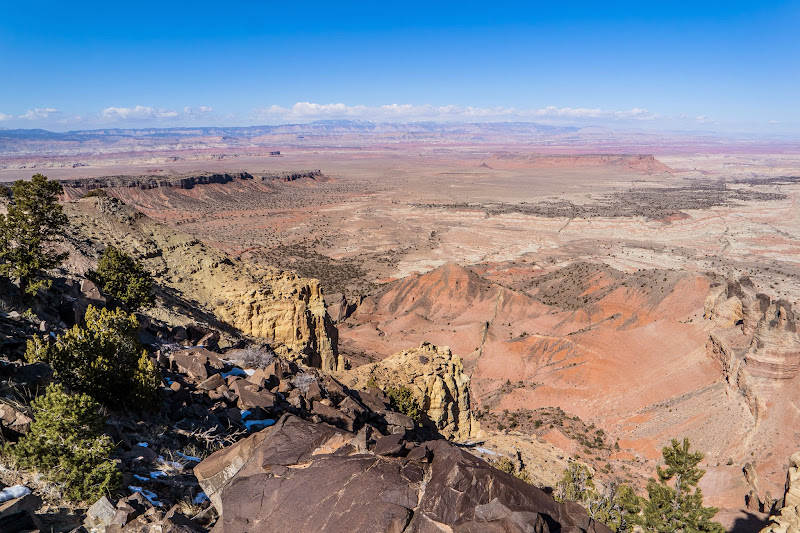
East Cedar Mountain has been on my list for a long time. I first read about it Michael Kelsey's book. So finally I decided to give it a shot on Sunday. I drove down to Emery and then took the Miller Canyon road down to I-70. From there it was all dirt roads to Cedar Mountain. The drive in was nice, no traffic and fairly smooth roads.
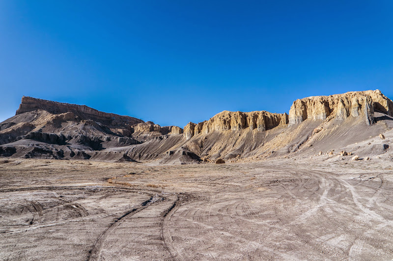
Mesa Butte
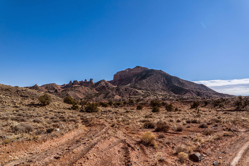
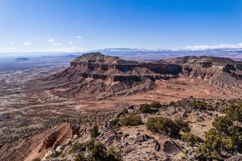
East Cedar Mountain
I got to my desired parking spot and the wind was blowing really hard. I sat there debating whether to go or just ride around. I finally talked myself into hiking it. The plan was to walk up the ridge line but staying on the South, just below the ridge cut the wind down quite a bit. The hike up was steep and lots of boulders. It took about an hour forty five to reach the top.
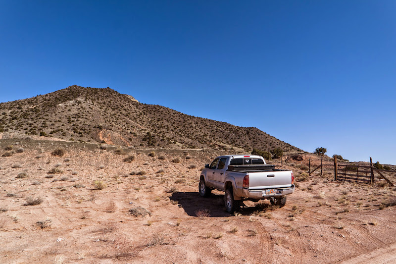
Trailhead
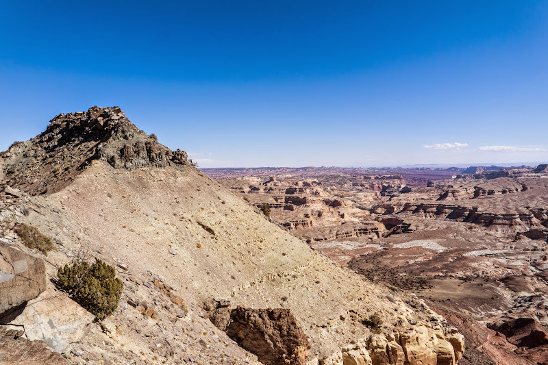
Looking North
East Cedar Mountain Peaks
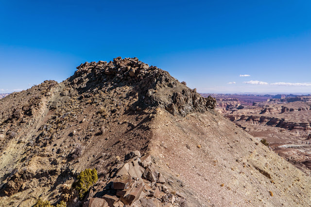
I wanted to go further but the peaks were steep and loose. Plus huge dropoffs all around so I didn't want to chance it and turned around. The hike down was quicker because I didn't have to take as many rest breaks.
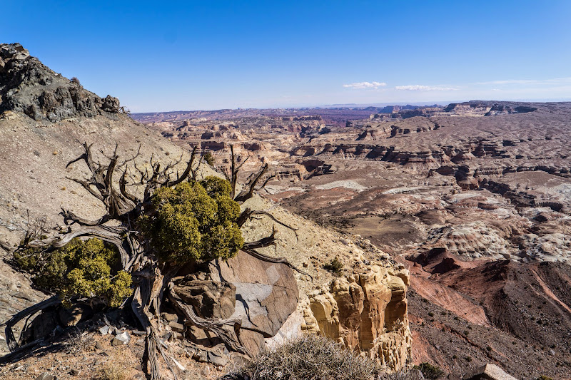
Chimney Canyon Down Below
Small Juniper
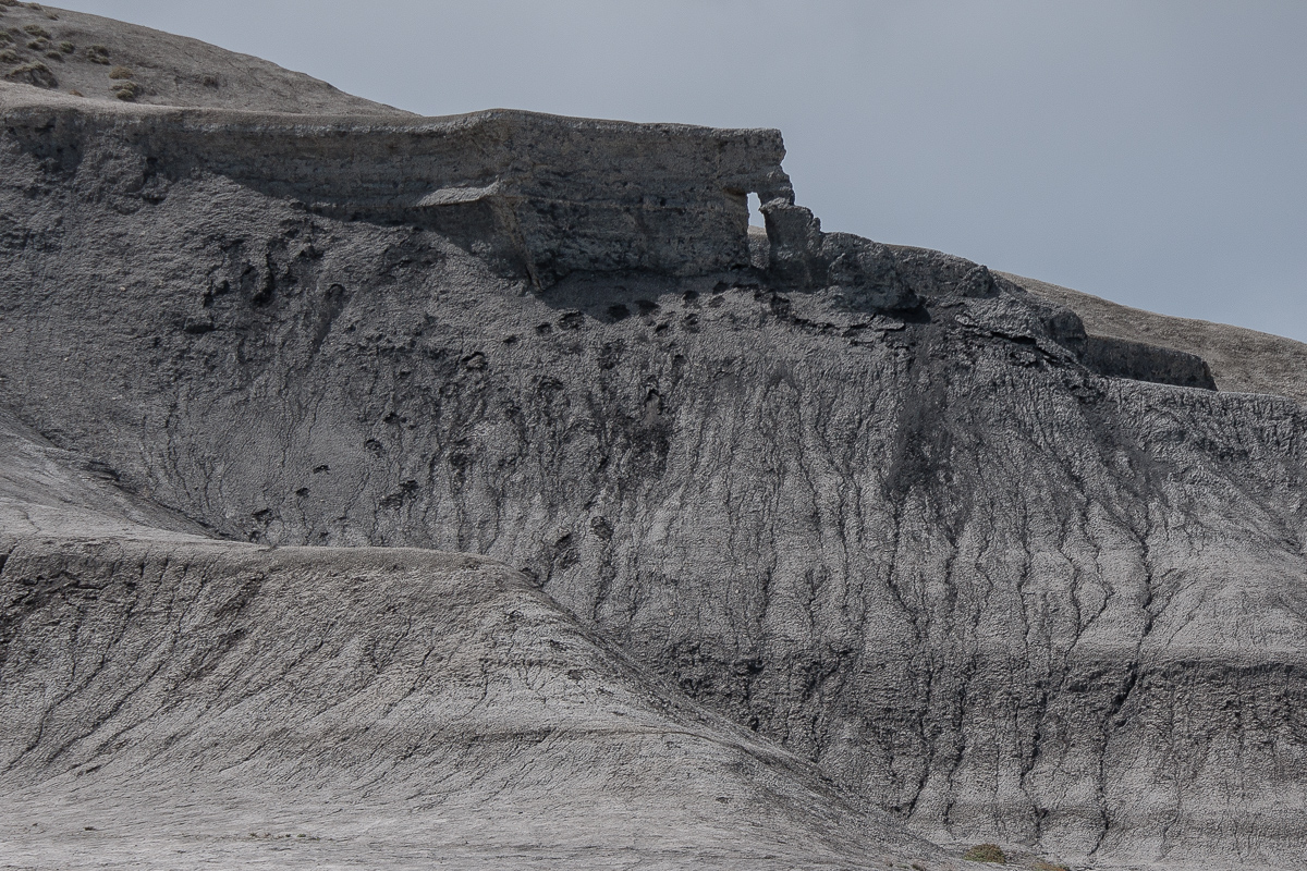
Cedar Mountain
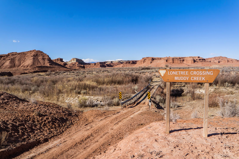
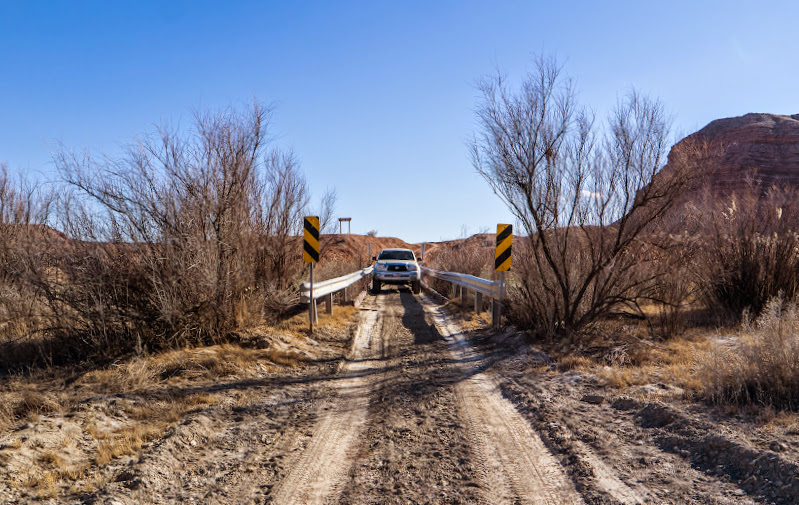
After getting back to the truck, I sat there and ate my lunch consisting of a salami sandwich and mountain dew. I took a different way home. I drove to the Lonetree Crossing and Salt Wash. I did take a wrong turn once but it didn't take long to figure out I was in the wrong spot. The bridge was a lot narrower than I thought it was going to be. After the crossing I drove down I-70 and through Buckhorn Draw to home.
Lonetree Crossing
Narrow Bridge
It was a good hike but the wind was a nightmare. If I got out on the North side ridge it felt like I was going to get blown off the mountain. Now I can scratch that off my to do list.
Photo Gallery: East Cedar Mountain
GPS Tracklog: Google Earth KMZ
Featured image for home page:

Mesa Butte
East Cedar Mountain
I got to my desired parking spot and the wind was blowing really hard. I sat there debating whether to go or just ride around. I finally talked myself into hiking it. The plan was to walk up the ridge line but staying on the South, just below the ridge cut the wind down quite a bit. The hike up was steep and lots of boulders. It took about an hour forty five to reach the top.
Trailhead
Looking North
East Cedar Mountain Peaks
I wanted to go further but the peaks were steep and loose. Plus huge dropoffs all around so I didn't want to chance it and turned around. The hike down was quicker because I didn't have to take as many rest breaks.
Chimney Canyon Down Below
Small Juniper
Cedar Mountain
After getting back to the truck, I sat there and ate my lunch consisting of a salami sandwich and mountain dew. I took a different way home. I drove to the Lonetree Crossing and Salt Wash. I did take a wrong turn once but it didn't take long to figure out I was in the wrong spot. The bridge was a lot narrower than I thought it was going to be. After the crossing I drove down I-70 and through Buckhorn Draw to home.
Lonetree Crossing
Narrow Bridge
It was a good hike but the wind was a nightmare. If I got out on the North side ridge it felt like I was going to get blown off the mountain. Now I can scratch that off my to do list.
Photo Gallery: East Cedar Mountain
GPS Tracklog: Google Earth KMZ
Featured image for home page: