- Joined
- Dec 23, 2013
- Messages
- 4,311
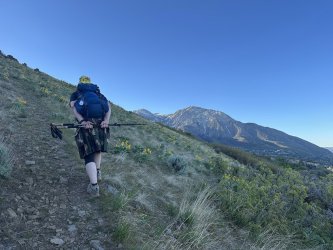
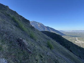
This will be my final weekend training hike for Maybird Gulch on the 9th, so I chose to do a loop hike that summits Grandeur Peak. Normally, when I do this loop hike, I take the West Slope trail the the top of Grandeur, but this time I wanted to head up the Dragon Tail route. The loop distance heading up the West Slope is approximately 12.4 miles, so I am assuming that the Dragon Tail is roughly the same since it just heads up the ridge to the south of the West Slope Trail. I also had a special guest star show up as @Ugly decided to join me on this one.
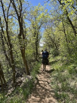
Now the trail up the Dragon's Tail is a steep one and I struggled mightily for the first 2 miles. Ugly was kind enough to keep at my pace though which probably made him late for his RSL gig later in the evening. Once on top, we ate our lunches before heading back down through Church Fork. It was supposed to get up to 82 in the valley on Saturday, and we could feel the heat the further we dropped down the Church Fork drainage. Once we reached the pipeline trail, we stopped for a quick rest and snack before heading west along the pipeline to reach an overlook of the Salt Lake Valley. From the Pipeline Trail junction until the end of our hike the trail was exposed with little shade, and the last half of our hike was a hot one. From there, it was the Bonneville Shoreline Trail that let us complete our loop and back to our vehicles that were parked on north end of Wasatch Drive. There were a lot of long switchbacks to deal with on the last stretch.
I shot with my Canon XSi which has a 12.2 MP sensor and was release back in 2008. I do think the images from the XS that I shot with the previous weekend had a better quality to them.
Here is our hike:
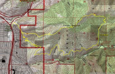
Overview map
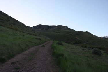
We shoved off around 7:00 am, and are hiking along a service road just above the trailhead at this point. Part of the Dragon's Tail
Can be seen above.
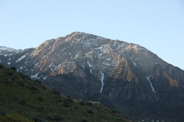
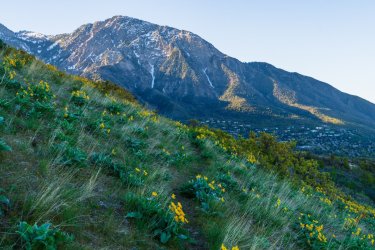
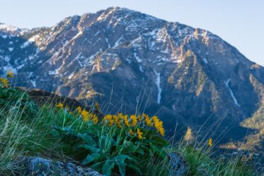
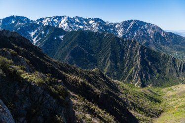
If you like Mount Olympus then this hike is for you as you get lots of good looks as you work your way up and around Grandeur
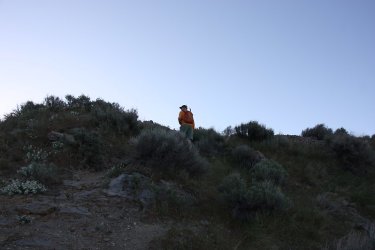
Cutting off onto the Dragon Tail route up Grandeur
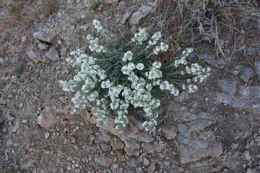
Low cryptantha
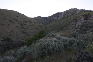
View up an unnamed gulch with the Dragon's Tail above
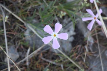
Phlox
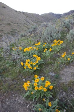
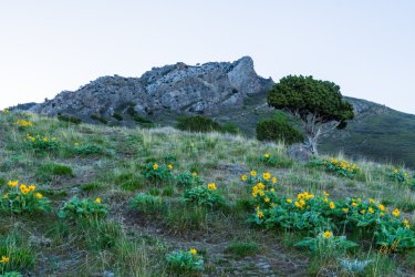
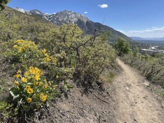
Arrowleaf balsamroot
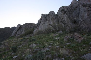
Reaching the lower end of the tail
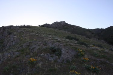
Steep climb from here up the the main part of the Dragon's Tail
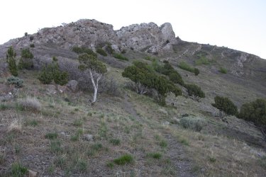
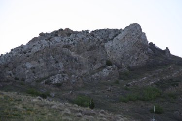
The Dragon's Tail
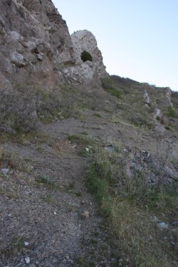
Calves are burning at this point
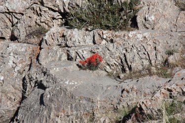
Paintbrush emerges from the rock crack
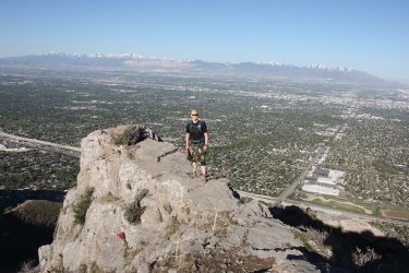
Nice little outcrop to get one's picture taken on with REI just off to my left down below
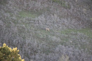
She stared at us the entire time we were within view of her.
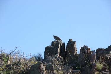
A chukar stayed still for a long time before flying off
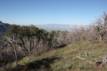
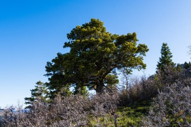
A nice little mahogany forest were we stopped for a break after two hours of hiking
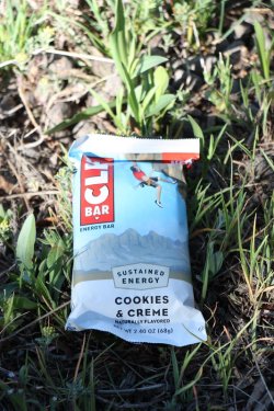
My snack to hopefully get me to the top of Grandeur
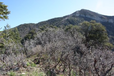
The summit of Grandeur finally comes into view for us
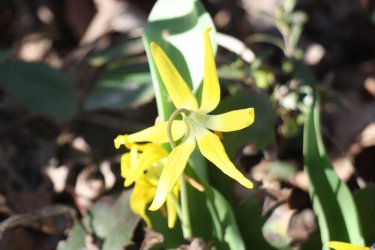
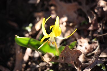
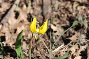
Glacier lilies were common on the small rocky ridge before the final climb to the summit
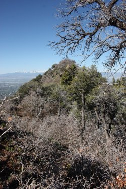
The ridge we had to cross to reach the final climb
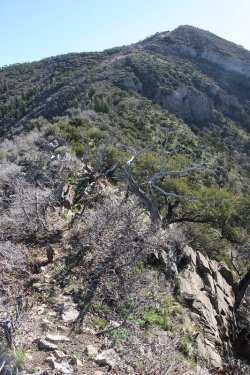
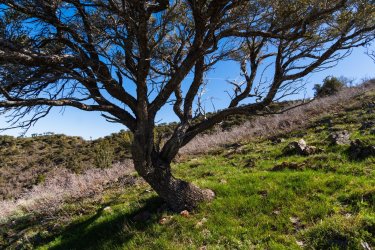
The scrub oak was still leafless
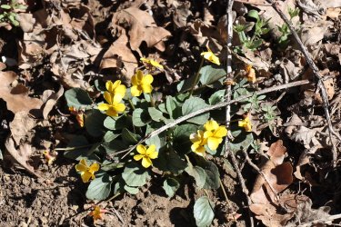
Goosefoot violets
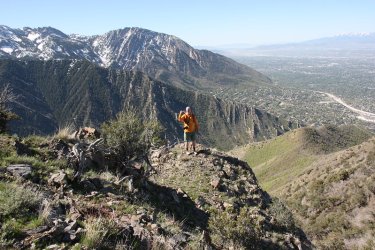
Ugly and Olympus
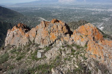
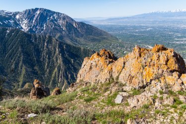
Some nice orange lichen
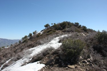
About to connect with the main, and popular trail out of Church Fork, with the Grandeur summit above.
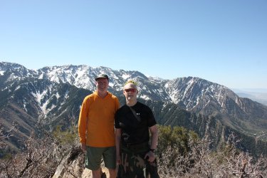
Summit shot
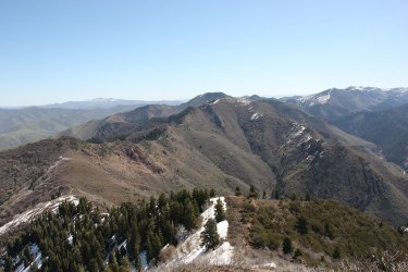
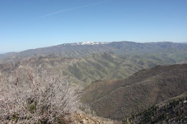
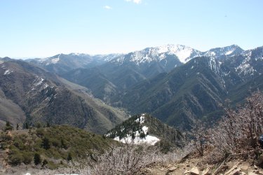
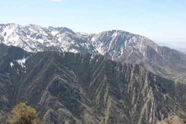
And views from the summit
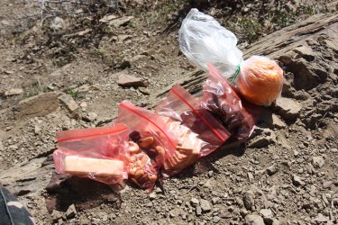
My lunch. I substituted and orange for an apple this week
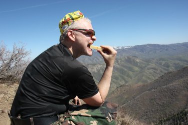
Mmm. . . . . habanero cheese
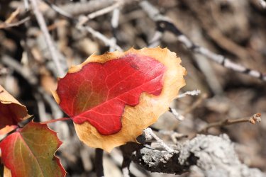
Just liked the colors here on this Oregon grape leaf
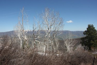
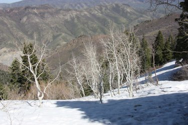
Some leafless aspen shots on our way down into Church Fork
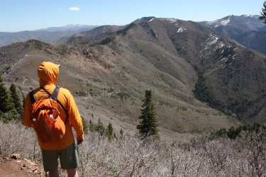
Ugly, enjoying the view down into Church Fork
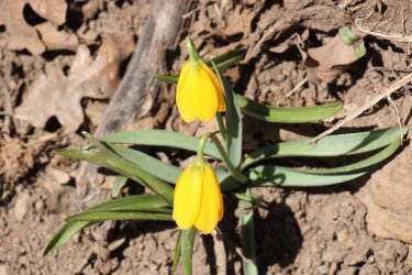
Yellow bells
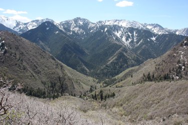
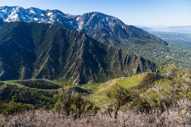
View down Church Fork
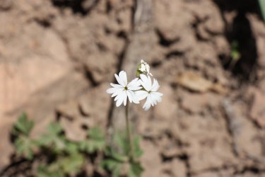
Woodland stars
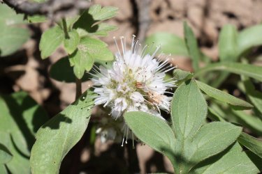
Ball-head waterleaf
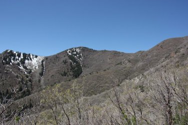
View of Grandeur from down in Church Fork
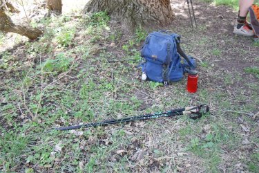
Break time at the junction with the Pipeline Trail. Hot hiking from this point on.
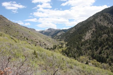
View back up Millcreek Canyon from the Pipeline Trail
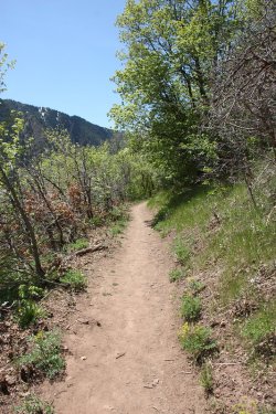
The Pipeline Trail
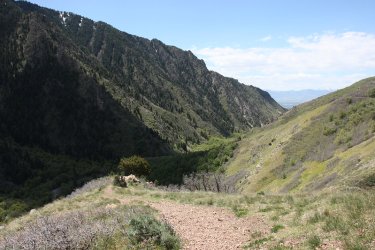
View down Millcreek Canyon towards the mouth of the canyon
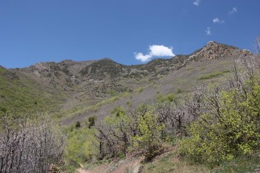
South side of Grandeur
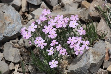
More phlox
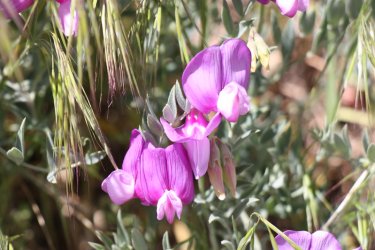
And some vetch
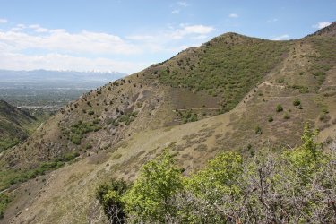
Approaching Rattlesnake Gulch
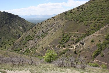
Is this Mount Whitney Portal? Lots of switchbacks coming up out of Rattlesnake Gulch
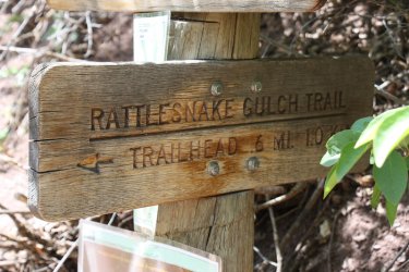
That way to the switchbacks
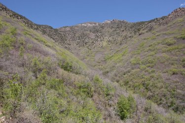
More south side of Grandeur at the head of Rattlesnake Gulch
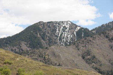
Thayne Peak
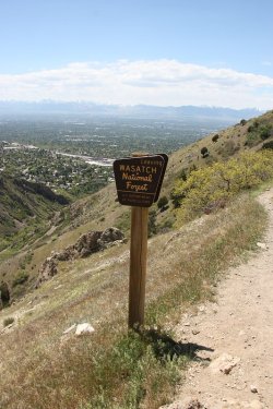
Leaving Forest Service land
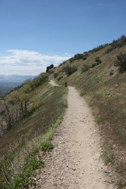
Still huffing it on the Pipeline
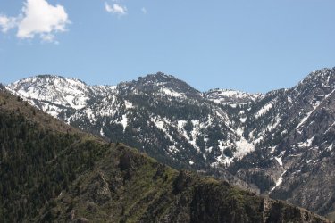
Triangle (or Hobbs) Peak across the canyon
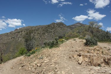
View back up at Grandeur from the overlook
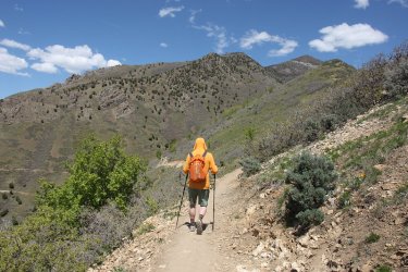
Ugly and Grandeur. Hitting the Shoreline Trail back to our vehicles
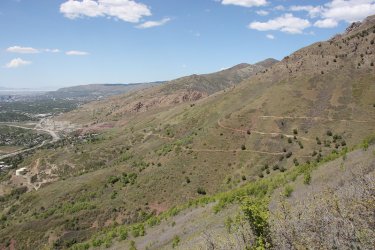
Long, numerous and hot switchbacks on this section of the Shoreline Trail
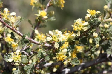
Bitterbrush in bloom along the Shoreline
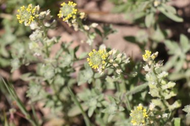
And dessert alyssum
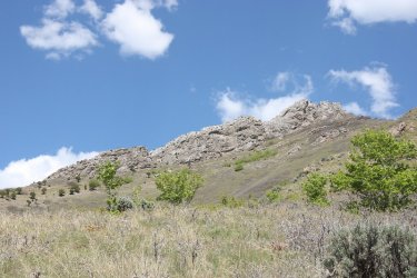
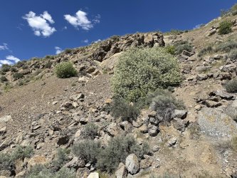
Looking up at the main section of the Dragon Tail, where we were at earlier in the day
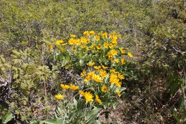
Balsamroot
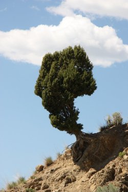
A lone cedar
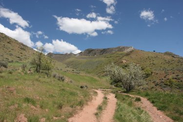
Back on the service road with Grandeur above
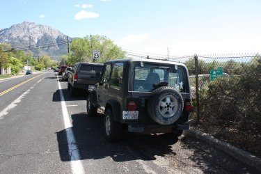
Back at the Jeep
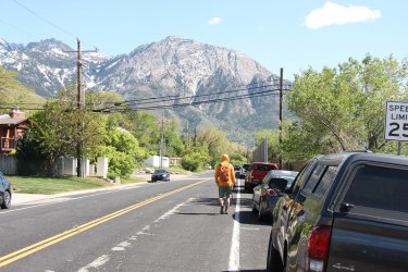
And Ugly heading towards his truck.
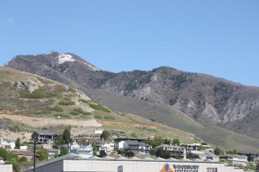
I stopped off at Walmart for some grapefruit juice and got this shot from the parking lot, of Grandeur with the ridge we hiked up

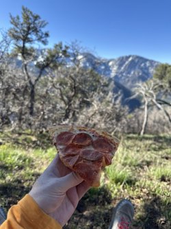
I burned some major calories on this hike, so a combo pizza was in order for dinner
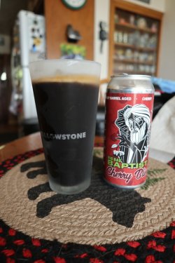
Along with a nice Cherry Bliss Big Bad Baptist from EPIC Brewery.
I imagined that @Ugly was having a nice big J Dawg smothered with sour kraut, onions, pickles with some jalapeños and yellow mustard at the RSL game. Man Ugly, you are making me hungry just typing this up.
Next week Maybird! God help me!
The End.
Now the trail up the Dragon's Tail is a steep one and I struggled mightily for the first 2 miles. Ugly was kind enough to keep at my pace though which probably made him late for his RSL gig later in the evening. Once on top, we ate our lunches before heading back down through Church Fork. It was supposed to get up to 82 in the valley on Saturday, and we could feel the heat the further we dropped down the Church Fork drainage. Once we reached the pipeline trail, we stopped for a quick rest and snack before heading west along the pipeline to reach an overlook of the Salt Lake Valley. From the Pipeline Trail junction until the end of our hike the trail was exposed with little shade, and the last half of our hike was a hot one.
 From there, it was the Bonneville Shoreline Trail that let us complete our loop and back to our vehicles that were parked on north end of Wasatch Drive. There were a lot of long switchbacks to deal with on the last stretch.
I shot with my Canon XSi which has a 12.2 MP sensor and was release back in 2008. I do think the images from the XS that I shot with the previous weekend had a better quality to them.
Here is our hike:

Overview map

We shoved off around 7:00 am, and are hiking along a service road just above the trailhead at this point. Part of the Dragon's Tail
Can be seen above.

If you like Mount Olympus then this hike is for you as you get lots of good looks as you work your way up and around Grandeur

Cutting off onto the Dragon Tail route up Grandeur

Low cryptantha

View up an unnamed gulch with the Dragon's Tail above

Phlox

Arrowleaf balsamroot

Reaching the lower end of the tail

Steep climb from here up the the main part of the Dragon's Tail


The Dragon's Tail

Calves are burning at this point

Paintbrush emerges from the rock crack

Nice little outcrop to get one's picture taken on with REI just off to my left down below

She stared at us the entire time we were within view of her.

A chukar stayed still for a long time before flying off

A nice little mahogany forest were we stopped for a break after two hours of hiking

My snack to hopefully get me to the top of Grandeur

The summit of Grandeur finally comes into view for us


Glacier lilies were common on the small rocky ridge before the final climb to the summit

The ridge we had to cross to reach the final climb

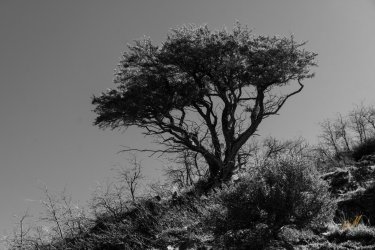
The scrub oak was still leafless

Goosefoot violets

Ugly and Olympus

Some nice orange lichen

About to connect with the main, and popular trail out of Church Fork, with the Grandeur summit above.

Summit shot


And views from the summit

My lunch. I substituted and orange for an apple this week

Mmm. . . . . habanero cheese

Just liked the colors here on this Oregon grape leaf


Some leafless aspen shots on our way down into Church Fork

Ugly, enjoying the view down into Church Fork

Yellow bells

View down Church Fork

Woodland stars

Ball-head waterleaf

View of Grandeur from down in Church Fork

Break time at the junction with the Pipeline Trail. Hot hiking from this point on.

View back up Millcreek Canyon from the Pipeline Trail

The Pipeline Trail

View down Millcreek Canyon towards the mouth of the canyon

South side of Grandeur

More phlox

And some vetch

Approaching Rattlesnake Gulch

Is this Mount Whitney Portal?

That way to the switchbacks

More south side of Grandeur at the head of Rattlesnake Gulch

Thayne Peak

Leaving Forest Service land

Still huffing it on the Pipeline

Triangle (or Hobbs) Peak across the canyon

View back up at Grandeur from the overlook

Ugly and Grandeur. Hitting the Shoreline Trail back to our vehicles

Long, numerous and hot switchbacks on this section of the Shoreline Trail

Bitterbrush in bloom along the Shoreline

And dessert alyssum

Looking up at the main section of the Dragon Tail, where we were at earlier in the day

Balsamroot

A lone cedar

Back on the service road with Grandeur above

Back at the Jeep

And Ugly heading towards his truck.

I stopped off at Walmart for some grapefruit juice and got this shot from the parking lot, of Grandeur with the ridge we hiked up

I burned some major calories on this hike, so a combo pizza was in order for dinner

Along with a nice Cherry Bliss Big Bad Baptist from EPIC Brewery.
I imagined that @Ugly was having a nice big J Dawg smothered with sour kraut, onions, pickles with some jalapeños and yellow mustard at the RSL game. Man Ugly, you are making me hungry just typing this up.
Next week Maybird! God help me!
The End.
Last edited:


