hatchcanyon
Member
- Joined
- May 29, 2013
- Messages
- 136
Yes, this is an old story with old analog pictures. Finding these slides and scanning them - the results are mediocre - it reminds my lady and me of one of our early trips to the area between the Colorado River and Interstate 70.
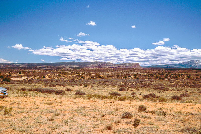
In 2002 our vehicle was a venerable 2001 Chevrolet Blazer. We started from UT 128 north of Dewey. A trail (12S 0648717, 4299398 NAD27) winds up into a plateaulike area, but this is not Dome Plateau. With exception of views to the LaSal Mountains and Top of the World Rim there isn't much of interest. More or less easy but rocky trails.
1 Mile North of Dewey and 400 feet higher

Lady and the Blazer on a rocky stretch
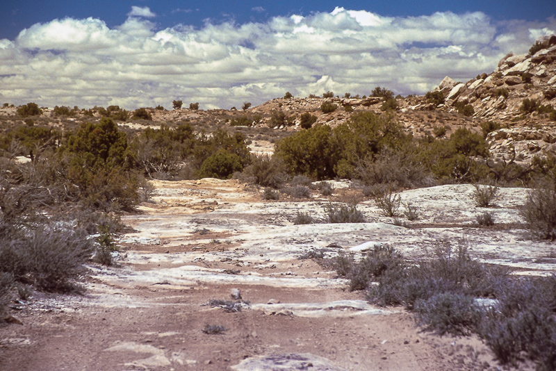
Not that much of interest
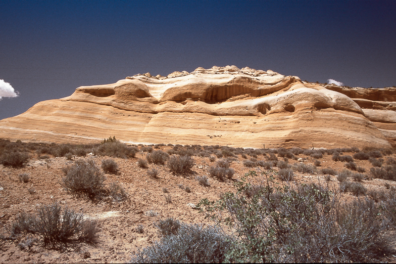
Entrada Sandstone
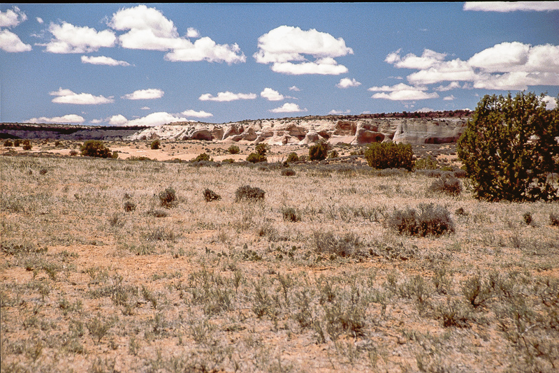
Must have been near Yellow Jacket Canyon
Top of the World in a distance
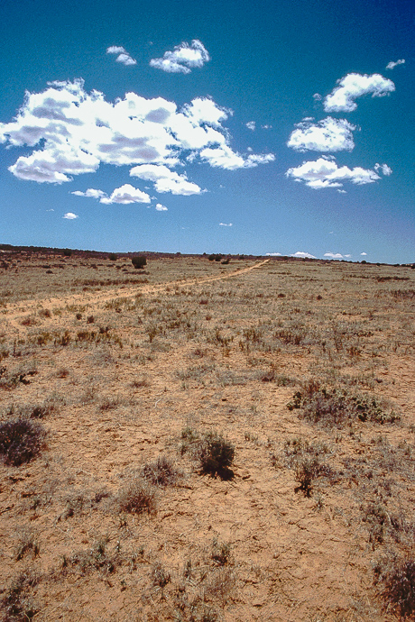
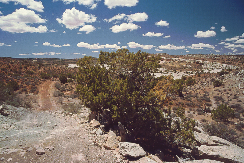
Another boring stretch of a trail
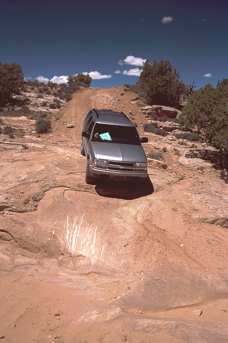
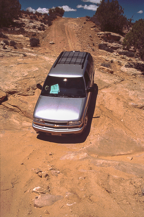
We decided to head in a more or less southern direction, but some of these trails turned suddenly. Knowing not that much about Dome Plateau it was a bit difficult and annoying at once. We got stuck on a rocky ledge, had to lift the car with a hydraulic jack to get over it. We saw that others had left scratch marks on other obstacles too.

Lady driving downwards
finding an appropriate track
Done!
Nowadays we know more about Dome Plateau and the long fence line running from South to North is pretty familiar to us. But it wasn't in 2002. We found a trail going through the fence and followed it in a southwesterly direction.
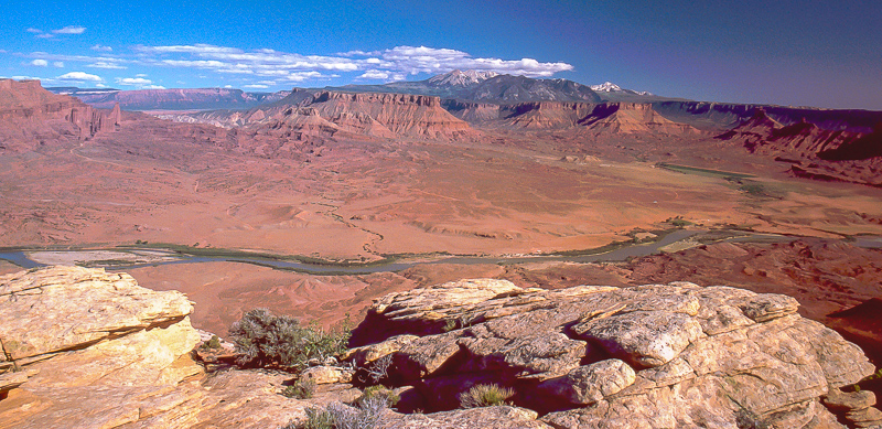
A little bit more than a Mile from the fence a faint trail was heading to the left (South). We hoped it might reach the top of the Cliffs of Professor Valley and indeed it did. Ending less than 100 feet from the edge, we only had to walk a very short distance to get an amazing view.
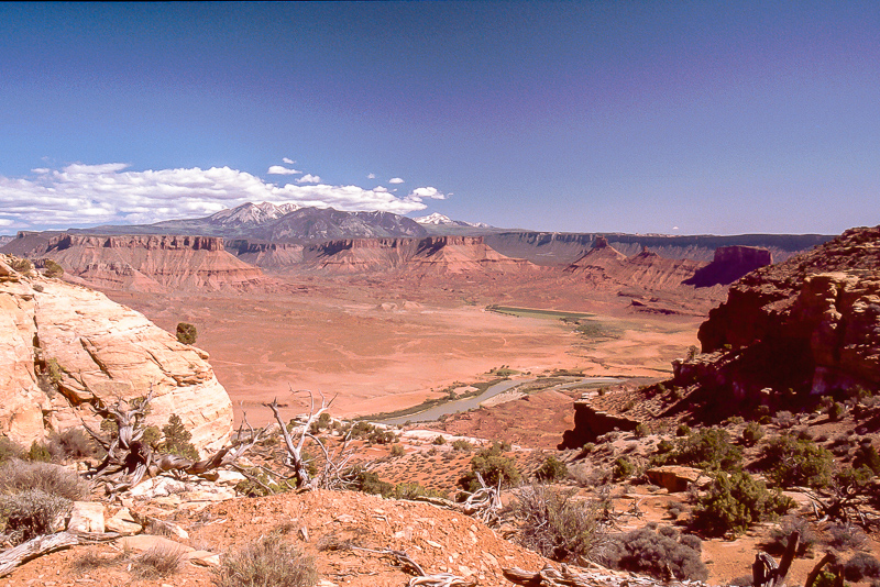
Western part of Richardson Amphitheatre with LaSal Mtns. Adobe and Fisher Mesa
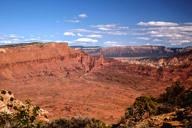
To the left: Fisher Towers, Onion Creek and Fisher Valley - not to forget Polar Mesa
What a panorama!
The view point we found is definitely not the same described in "Guide to Moab, UT Backroads & 4-Wheel Drive Trails" from Charles A. Wells. The other one is located immediate east of the fence. The trail leading to it is much more difficult to drive, especially back uphill again. And you definitely have to do!
In 2002 our vehicle was a venerable 2001 Chevrolet Blazer. We started from UT 128 north of Dewey. A trail (12S 0648717, 4299398 NAD27) winds up into a plateaulike area, but this is not Dome Plateau. With exception of views to the LaSal Mountains and Top of the World Rim there isn't much of interest. More or less easy but rocky trails.
1 Mile North of Dewey and 400 feet higher
Lady and the Blazer on a rocky stretch
Not that much of interest
Entrada Sandstone
Must have been near Yellow Jacket Canyon
Top of the World in a distance
Another boring stretch of a trail
We decided to head in a more or less southern direction, but some of these trails turned suddenly. Knowing not that much about Dome Plateau it was a bit difficult and annoying at once. We got stuck on a rocky ledge, had to lift the car with a hydraulic jack to get over it. We saw that others had left scratch marks on other obstacles too.
Lady driving downwards
finding an appropriate track
Done!
Nowadays we know more about Dome Plateau and the long fence line running from South to North is pretty familiar to us. But it wasn't in 2002. We found a trail going through the fence and followed it in a southwesterly direction.
A little bit more than a Mile from the fence a faint trail was heading to the left (South). We hoped it might reach the top of the Cliffs of Professor Valley and indeed it did. Ending less than 100 feet from the edge, we only had to walk a very short distance to get an amazing view.
Western part of Richardson Amphitheatre with LaSal Mtns. Adobe and Fisher Mesa
To the left: Fisher Towers, Onion Creek and Fisher Valley - not to forget Polar Mesa
What a panorama!
The view point we found is definitely not the same described in "Guide to Moab, UT Backroads & 4-Wheel Drive Trails" from Charles A. Wells. The other one is located immediate east of the fence. The trail leading to it is much more difficult to drive, especially back uphill again. And you definitely have to do!
")