Udink
Still right here.
- Joined
- Jan 17, 2012
- Messages
- 1,734
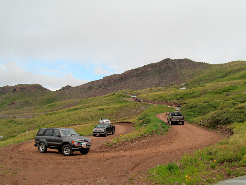
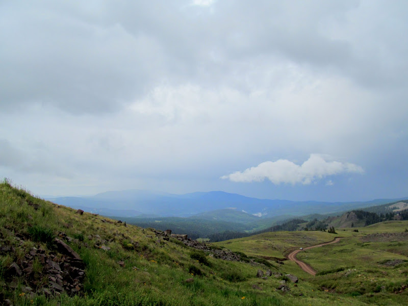
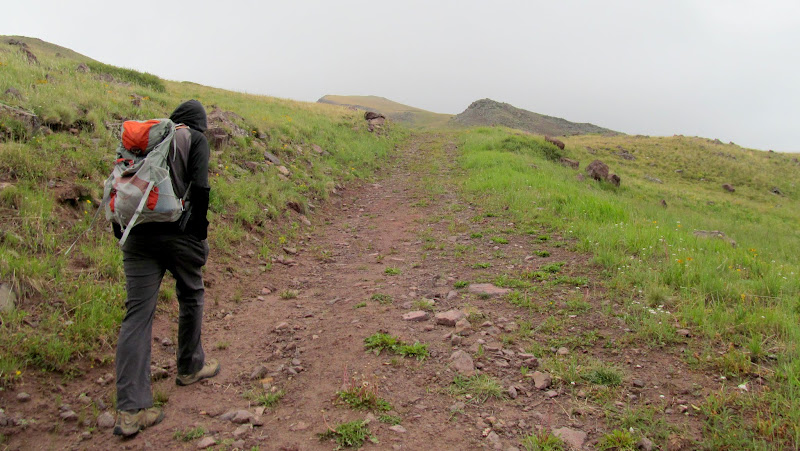
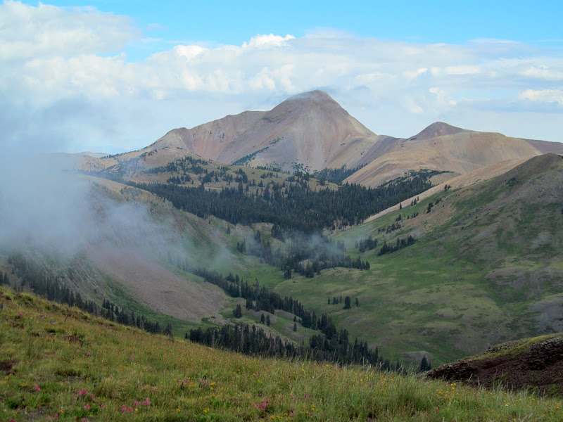
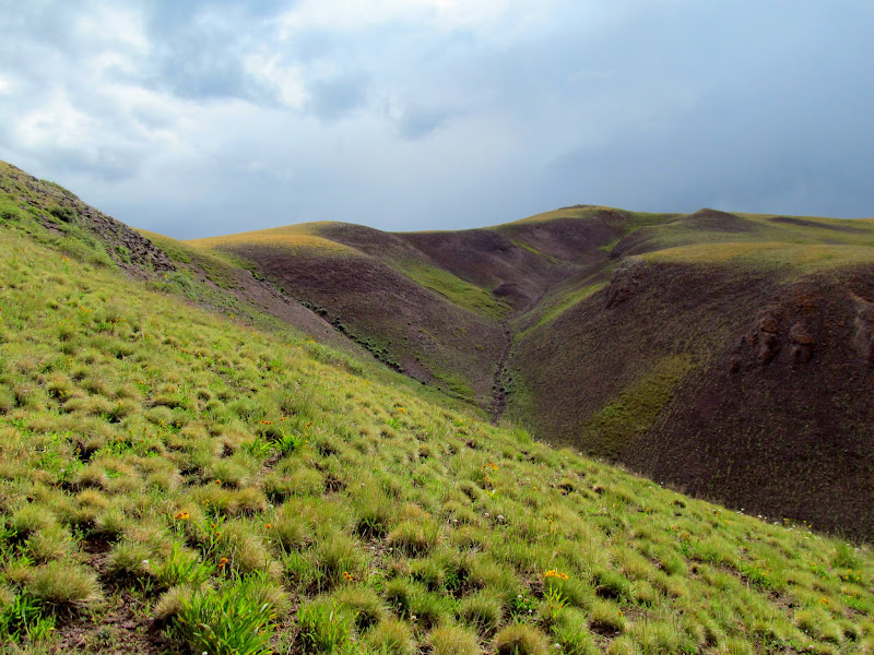
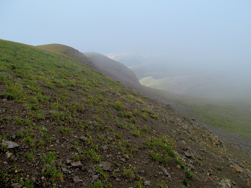
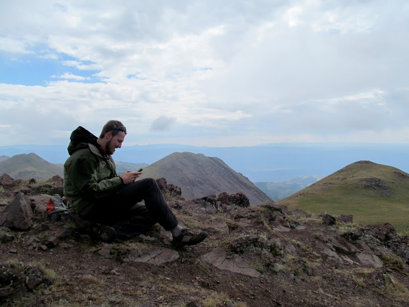
After solo hiking Fool Creek Peak the day before, this day I teamed up with Chris and we hiked Delano Peak (the highest point in both Beaver and Piute counties) and Mine Camp Peak (the highest point in Millard County). We spent much more time driving than hiking but it was satisfying to knock out a couple of Utah county high points that had been nagging at me. We departed basecamp at Yuba State Park after 6AM and arrived at the Delano Peak trailhead a few hours later. We'd unsuspectingly driven right into the thick of a trail race and had to dodge runners and vehicular traffic on the dirt road leading to the TH. The first little bit of the route followed an old road. At about the time the road ended and we entered a hiking trail, it began to rain. I was already wearing a rain jacket but the cold forced me to stop and put on another layer underneath. Brr! I wasn't fully prepared for this kind of weather in August. The rain dissipated after only 10 minutes but low clouds came and went throughout the hike, sometimes obscuring the views and even the trail a few hundred feet away.
Heavy traffic on the road due to a trail race in the Tushars
Southerly view across Sheep Herder Flat
Head down, into the wind, up the old road
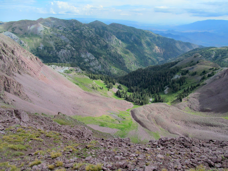
Bullion Canyon
Rain beginning to fall
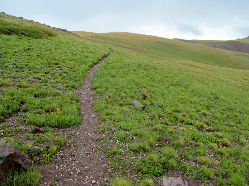
Trail through green rolling hills
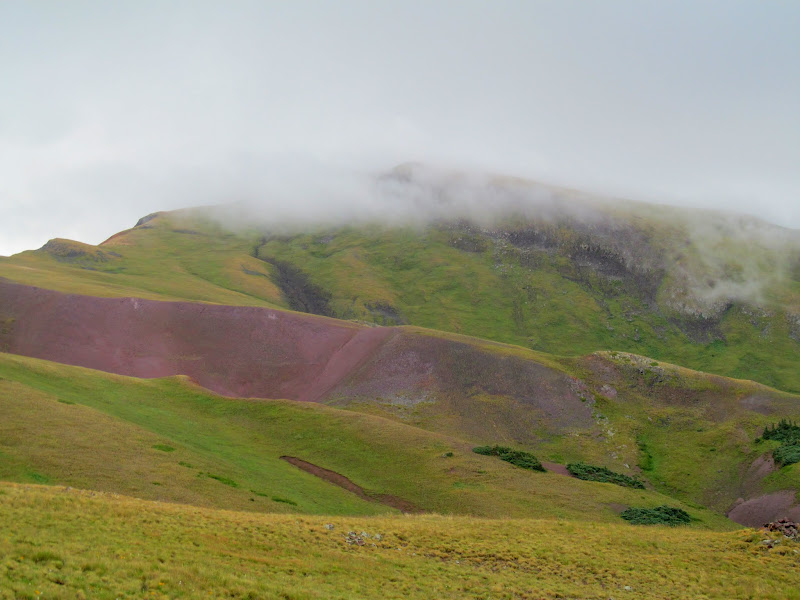
Delano Peak shrouded in clouds
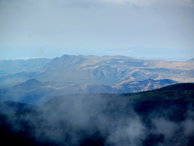
Distant mountains through the clouds
Mount Belknap
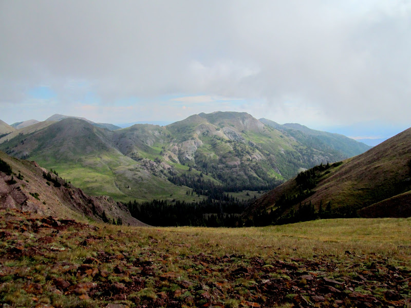
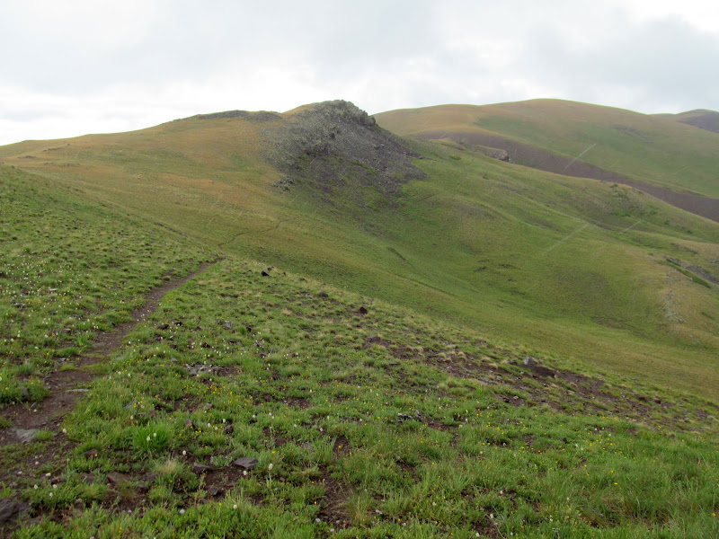
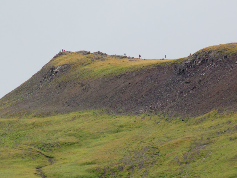
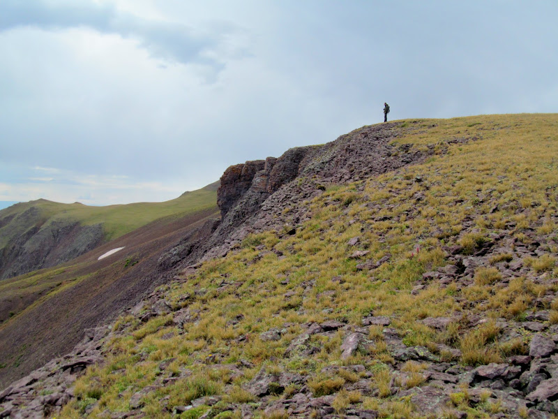
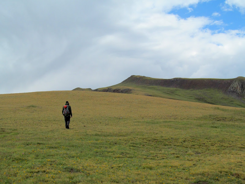
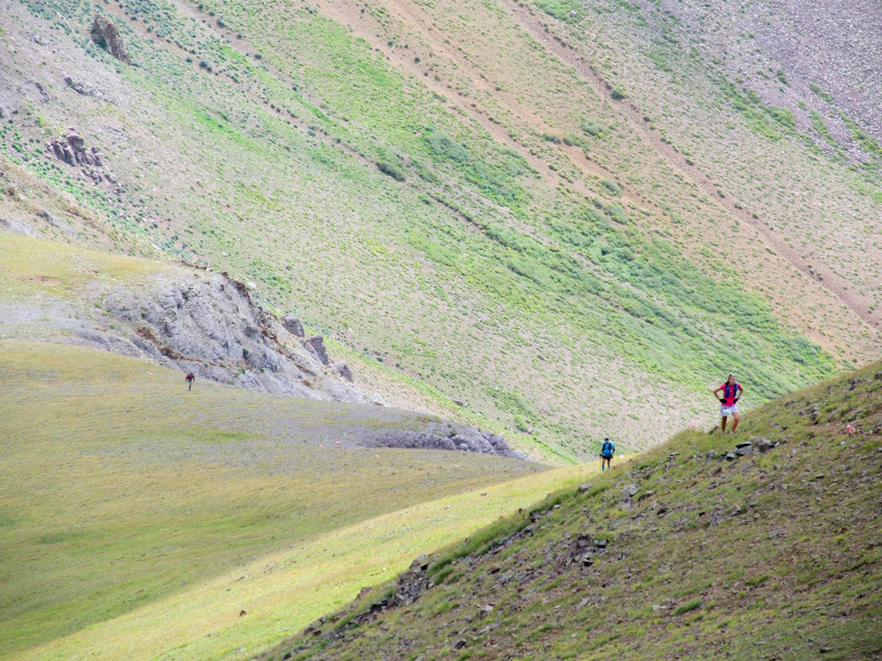
Once we got close enough to Delano Peak and the clouds cleared from the summit, we could see runners on the west ridge of the mountain and on the summit. We were on the northwest ridge and luckily the race route avoided that area. I was surprised that, at times, we'd be following a well-worn foot path when suddenly it would disappear. We'd wander on and upward and eventually find another trail. Early on the trails were just below the top of the ridge. Closer to the peak the trail topped out and offered more views to the north and east.
Clear view of Delano
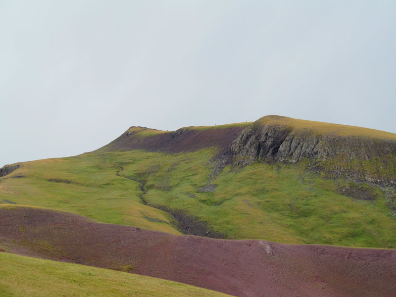
Runners on Delano Peak
The trail disappeared here
On the ridge above the Pocket
Delano ridgeline
Wide open walking toward the summit
Clouds grazing the mountaintop
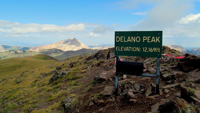
We gained the summit after about an hour and 40 minutes since beginning the hike, and stayed long enough for perhaps half a dozen runners to pass. The route back down different from our ascent as we acquired different trails in the network. Back at the trailhead our mileage totaled 4.26 miles in under three hours. It had been a lovely jaunt through green, rolling terrain, and with some impressive views when the weather allowed it.
On the summit of Delano Peak
Delano Peak
Runners climbing up from the South Fork of Pine Creek
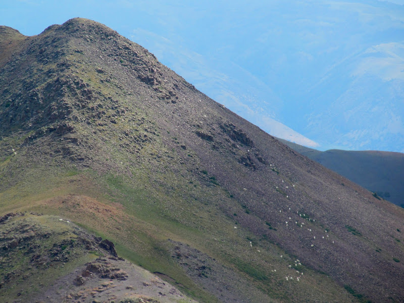
Mountain goats
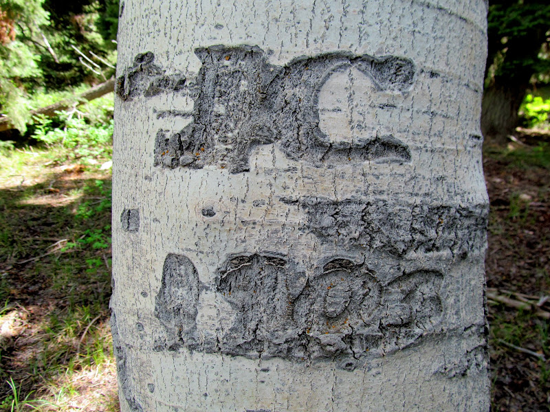
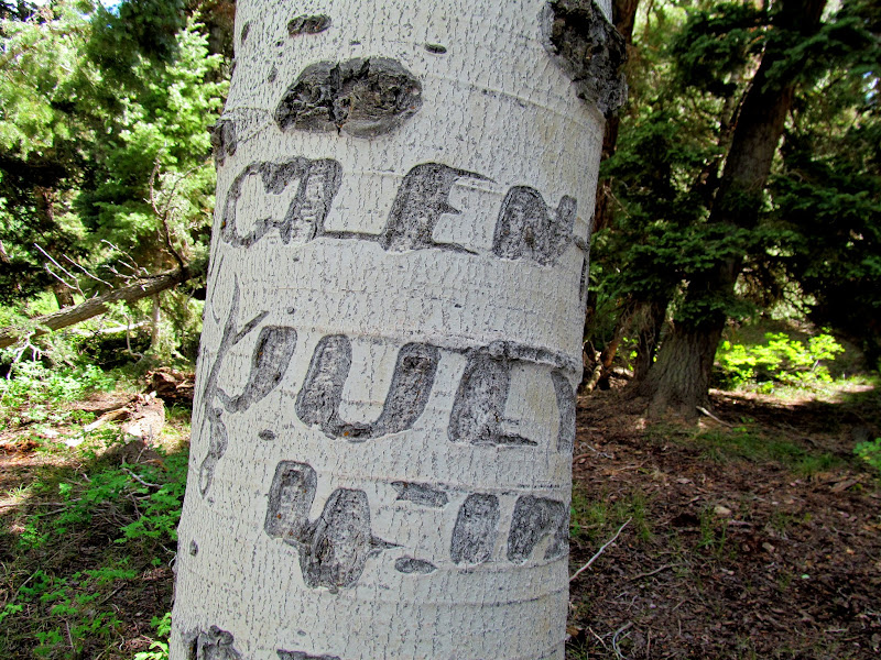
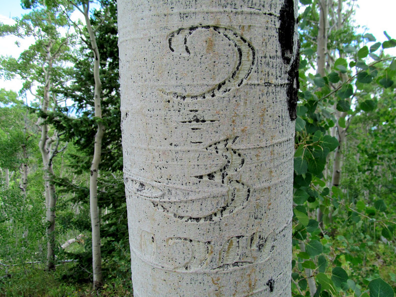
Back on the road in the Jeep, traffic had died down considerably. We hit I-15 for a short while and exited in Fillmore in search of Mine Camp Peak. Google Maps routed me up Sand Rock Ridge Road, which was a steep sumbitch. Though the road surface was in decent shape, I shifted into 4-low to decrease the strain on the transmission and engine. Once we entered the pine and aspen forest I couldn't help but scan the trees for carvings, not unlike when traveling in the desert where I'm drawn to patina-covered cliff faces. I spotted some old-looking carvings and, upon closer investigation, one of them was the oldest I've ever seen, left by Glen Day on the 4th of July, 1900.
J.C. 1903 aspen carving on Sand Rock Ridge
Aspen carving: Glen Day, July 4, 1900 (left side)
Aspen carving: Glen Day, July 4, 1900 (right side)
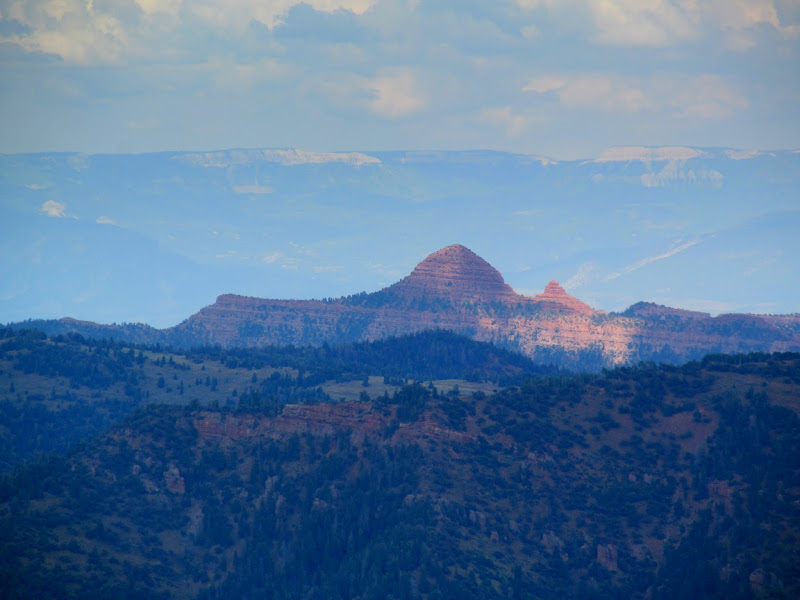
Beehive Peak (on my to-do list)
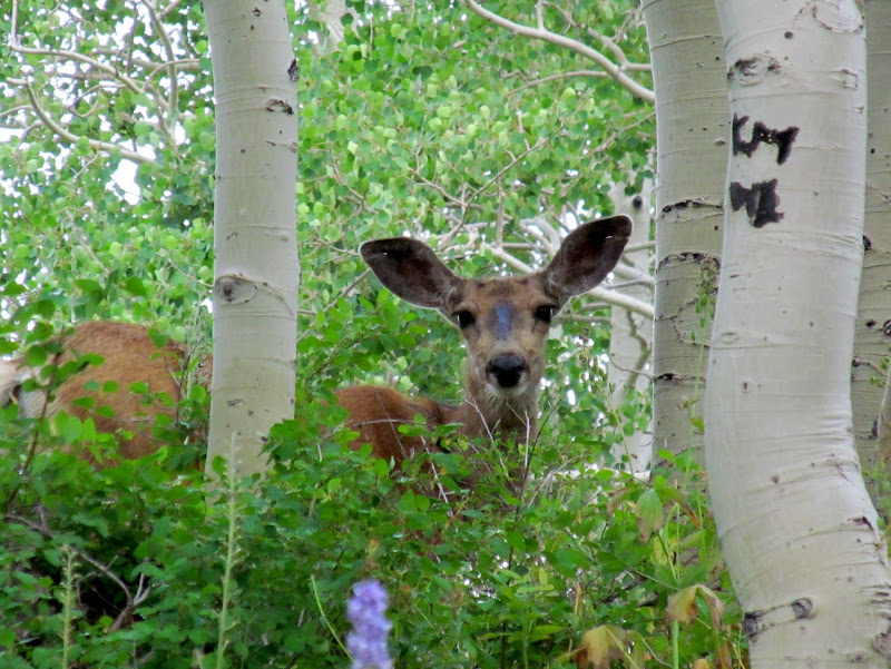
Deer
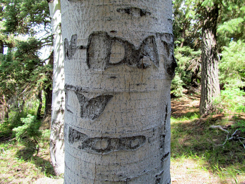
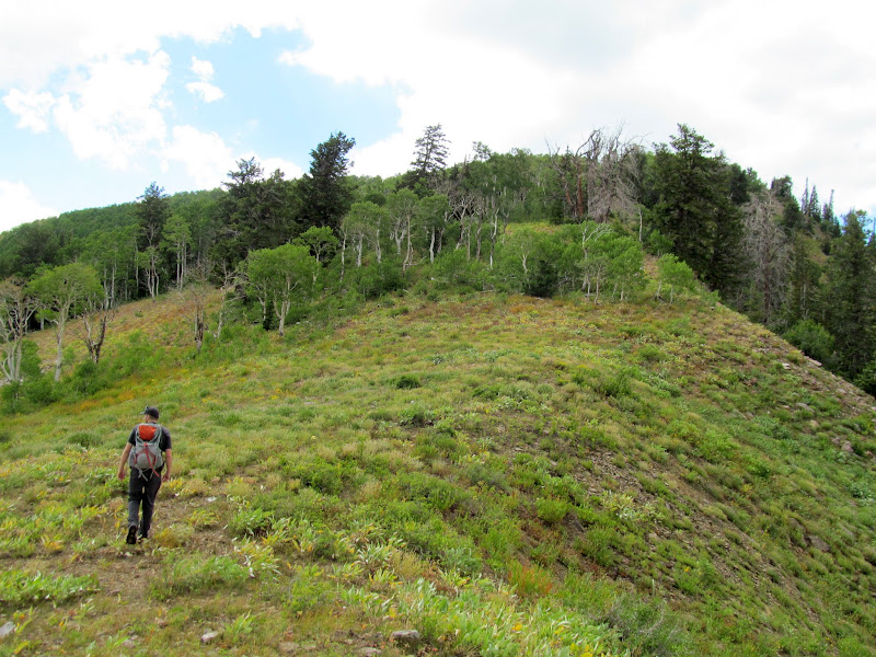
From the Mine Camp Peak trailhead we only had a half-mile hike to the summit, eating 150' of elevation going down to a saddle before gaining another 400' to the peak. The day had warmed up considerably since the cold rain earlier. The hiking from the past couple of days was beginning to wear on me as well, and I was sluggish for the short hike to the high point. There were many carvings in the aspen but most of them seemed to be from one guy: Clark Cole Crowe, from 1914. The views were not all that great from Mine Camp Peak, being a relatively low summit with trees surrounding it. 20 minutes after leaving the summit we were at the Jeep and heading back toward camp.
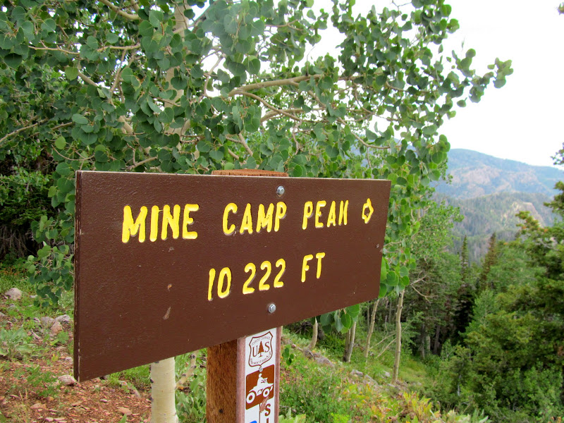
Mine Camp sign
Starting up Mine Camp Peak
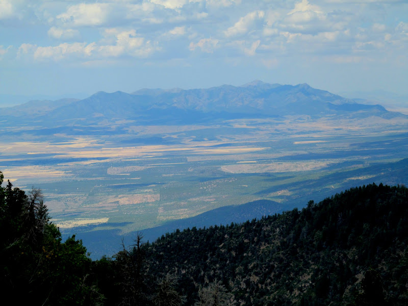
The Canyon Mountains, 35 miles distant, which I'd hiked the day before
9-3-1914
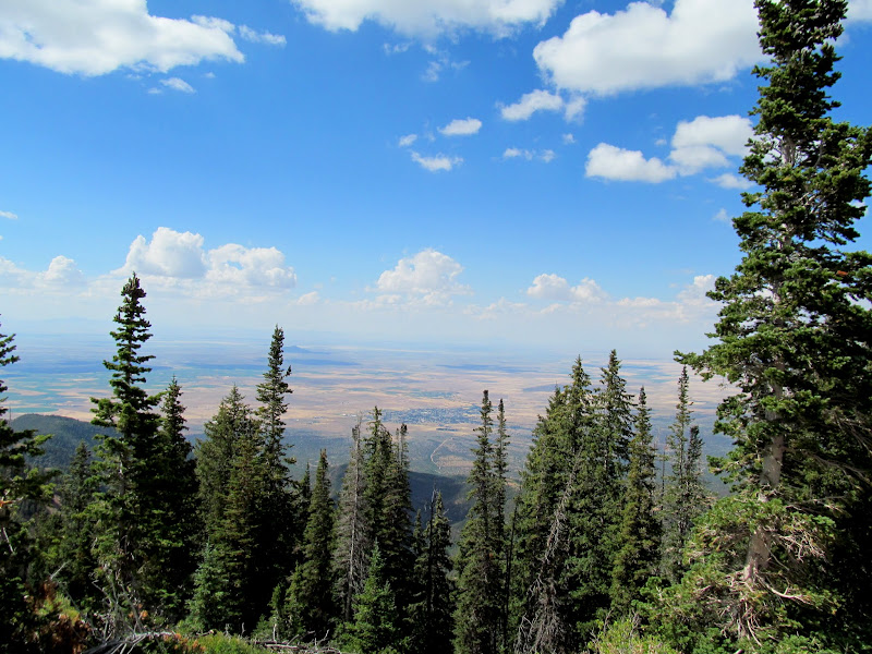
View northeast toward Fillmore from the summit of Mine Camp Peak
Fillmore, Utah
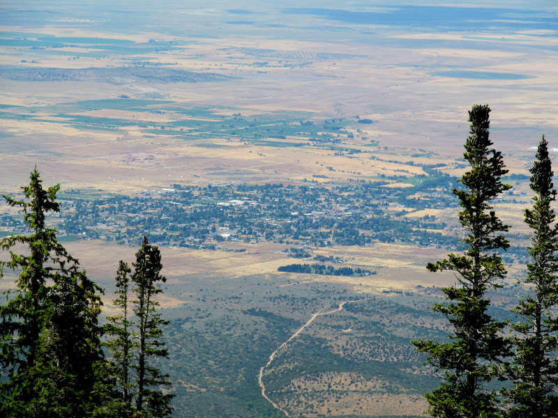
Photo Gallery: Delano and Mine Camp Peaks
GPS Track:
[ Google Earth KMZ ] [ Gmap4 Satellite ] [ Gmap4 Topo ]
Heavy traffic on the road due to a trail race in the Tushars
Southerly view across Sheep Herder Flat
Head down, into the wind, up the old road
Bullion Canyon
Rain beginning to fall
Trail through green rolling hills
Delano Peak shrouded in clouds
Distant mountains through the clouds
Mount Belknap
Once we got close enough to Delano Peak and the clouds cleared from the summit, we could see runners on the west ridge of the mountain and on the summit. We were on the northwest ridge and luckily the race route avoided that area. I was surprised that, at times, we'd be following a well-worn foot path when suddenly it would disappear. We'd wander on and upward and eventually find another trail. Early on the trails were just below the top of the ridge. Closer to the peak the trail topped out and offered more views to the north and east.
Clear view of Delano
Runners on Delano Peak
The trail disappeared here
On the ridge above the Pocket
Delano ridgeline
Wide open walking toward the summit
Clouds grazing the mountaintop
We gained the summit after about an hour and 40 minutes since beginning the hike, and stayed long enough for perhaps half a dozen runners to pass. The route back down different from our ascent as we acquired different trails in the network. Back at the trailhead our mileage totaled 4.26 miles in under three hours. It had been a lovely jaunt through green, rolling terrain, and with some impressive views when the weather allowed it.
On the summit of Delano Peak
Delano Peak
Runners climbing up from the South Fork of Pine Creek
Mountain goats
Back on the road in the Jeep, traffic had died down considerably. We hit I-15 for a short while and exited in Fillmore in search of Mine Camp Peak. Google Maps routed me up Sand Rock Ridge Road, which was a steep sumbitch. Though the road surface was in decent shape, I shifted into 4-low to decrease the strain on the transmission and engine. Once we entered the pine and aspen forest I couldn't help but scan the trees for carvings, not unlike when traveling in the desert where I'm drawn to patina-covered cliff faces. I spotted some old-looking carvings and, upon closer investigation, one of them was the oldest I've ever seen, left by Glen Day on the 4th of July, 1900.
J.C. 1903 aspen carving on Sand Rock Ridge
Aspen carving: Glen Day, July 4, 1900 (left side)
Aspen carving: Glen Day, July 4, 1900 (right side)
Beehive Peak (on my to-do list)
Deer
From the Mine Camp Peak trailhead we only had a half-mile hike to the summit, eating 150' of elevation going down to a saddle before gaining another 400' to the peak. The day had warmed up considerably since the cold rain earlier. The hiking from the past couple of days was beginning to wear on me as well, and I was sluggish for the short hike to the high point. There were many carvings in the aspen but most of them seemed to be from one guy: Clark Cole Crowe, from 1914. The views were not all that great from Mine Camp Peak, being a relatively low summit with trees surrounding it. 20 minutes after leaving the summit we were at the Jeep and heading back toward camp.
Mine Camp sign
Starting up Mine Camp Peak
The Canyon Mountains, 35 miles distant, which I'd hiked the day before
9-3-1914
View northeast toward Fillmore from the summit of Mine Camp Peak
Fillmore, Utah
Photo Gallery: Delano and Mine Camp Peaks
GPS Track:
[ Google Earth KMZ ] [ Gmap4 Satellite ] [ Gmap4 Topo ]
")