Tres Westbrook
Member
- Joined
- Feb 10, 2013
- Messages
- 122
My wife and I hiked Mount Perry in Death Valley National Park on December 28, 2015. The hike to Mount Perry is 8 miles round trip. It starts from the Dante's View parking lot and traverses several ridges and minor peaks before ascending up to the top of Mount Perry, which dominates the Black Mountains on the east side of the valley. It was a fun little hike.
The hike starts at Dante's View parking lot. The trailhead is around 5,600 feet above the valley floor, which is 283 ft. below sea level. We arrived early in the morning and the temperature at the parking area was 21 degrees.
This is the view looking directly across the valley at the Panamint Range and Telescope Peak, which is around 11,300 feet above the valley floor.
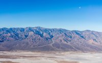
The first half mile of the hike follows an official trail to Dante's Peak.
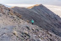
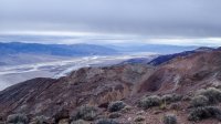
Looking back into the valley. The valley floor consists of hundreds of feet of alluvial deposits because there is no outlet for the sediment that drains out of the canyons and mountains surrounding the valley. Although it looks like the valley is covered in snow, it is actually salt.
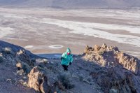
At the top of Dante's peak.
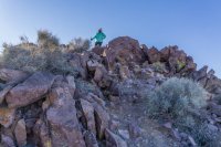
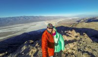
Selfie from Dante's Peak.
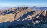
Mount Perry as seen from Dante's Peak, around 3.5 miles away.
Heading towards Mount Perry. After leaving Dante's Peak, there is no official trail. However, there is a well-defined use trail, and when you can't find it, you just follow the ridge line. You can see the top of Mount Perry most of the way.
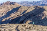
The views were stunning in all directions for the duration of the hike. This is looking northwest up Death Valley.

Looking towards Greenwater Valley to the east of Death Valley.
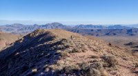
The hike is pretty much uphill.
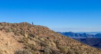
Then downhill. Then back up again. there's about a 3,500 total elevation gain and loss on the hike.
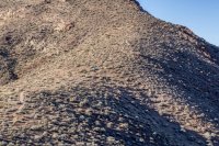
Looking down a canyon from one of the ridges. It's not too steep, but the drop down to the valley floor is about as deep as the Grand Canyon.
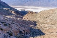
Just keepin' on keepin' on.
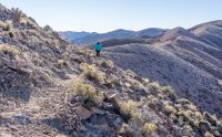
Along the trail.
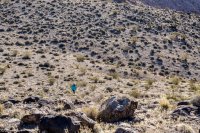
We lost the trail for a while in this little boulder field.
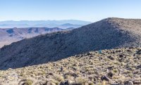
Pretty cool mountains east of Death Valley.
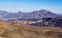
Along the trail.
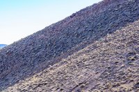
Greenwater Valley. It's about 3,000 feet higher than Death Valley, which is directly behind us on the other side of the ridge we're on.
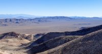
Getting closer.
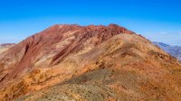
It also gets steeper.
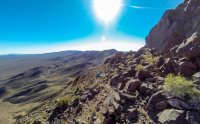
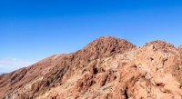
As you get closer to the top, you just follow the ridgeline.
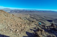
Looking back at Dante's Peak in the distance.
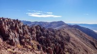
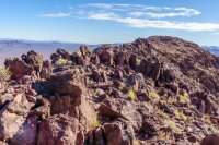
Almost there.
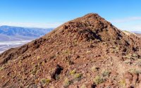
Registration book in an old canteen at the top of the mountain.
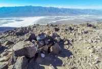
Looking back at Dante's Peak, 3.5 miles away.
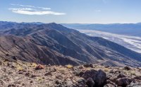
Another view from the top.
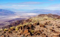
Heading back, I'm just a tiny dot on top of the ridge.
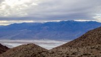
On our way back, a snowstorm came over the Panamint Range across the valley. The clouds just cover the top of Telescope Peak.
Clouds moved in quickly. It started snowing on us just before we got back to the car. When we were driving back down the valley, we saw that the top of Mount Perry was covered in clouds and snow.
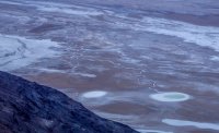
Death Valley had a 1,000 year flood event (3.5 - 5 inches of rain) in October. When we were there most of the roads had re-opened. From the trail we could see this little meandering rivulet draining into this small pond on the valley floor. We christened it "Sperm Lake."
Video from our day hike to Mount Perry:
The hike starts at Dante's View parking lot. The trailhead is around 5,600 feet above the valley floor, which is 283 ft. below sea level. We arrived early in the morning and the temperature at the parking area was 21 degrees.
This is the view looking directly across the valley at the Panamint Range and Telescope Peak, which is around 11,300 feet above the valley floor.

The first half mile of the hike follows an official trail to Dante's Peak.

Looking back into the valley. The valley floor consists of hundreds of feet of alluvial deposits because there is no outlet for the sediment that drains out of the canyons and mountains surrounding the valley. Although it looks like the valley is covered in snow, it is actually salt.

At the top of Dante's peak.

Selfie from Dante's Peak.

Mount Perry as seen from Dante's Peak, around 3.5 miles away.

Heading towards Mount Perry. After leaving Dante's Peak, there is no official trail. However, there is a well-defined use trail, and when you can't find it, you just follow the ridge line. You can see the top of Mount Perry most of the way.

The views were stunning in all directions for the duration of the hike. This is looking northwest up Death Valley.

Looking towards Greenwater Valley to the east of Death Valley.

The hike is pretty much uphill.

Then downhill. Then back up again. there's about a 3,500 total elevation gain and loss on the hike.

Looking down a canyon from one of the ridges. It's not too steep, but the drop down to the valley floor is about as deep as the Grand Canyon.

Just keepin' on keepin' on.

Along the trail.

We lost the trail for a while in this little boulder field.

Pretty cool mountains east of Death Valley.

Along the trail.

Greenwater Valley. It's about 3,000 feet higher than Death Valley, which is directly behind us on the other side of the ridge we're on.

Getting closer.

It also gets steeper.

As you get closer to the top, you just follow the ridgeline.

Looking back at Dante's Peak in the distance.


Almost there.

Registration book in an old canteen at the top of the mountain.

Looking back at Dante's Peak, 3.5 miles away.

Another view from the top.

Heading back, I'm just a tiny dot on top of the ridge.

On our way back, a snowstorm came over the Panamint Range across the valley. The clouds just cover the top of Telescope Peak.

Clouds moved in quickly. It started snowing on us just before we got back to the car. When we were driving back down the valley, we saw that the top of Mount Perry was covered in clouds and snow.

Death Valley had a 1,000 year flood event (3.5 - 5 inches of rain) in October. When we were there most of the roads had re-opened. From the trail we could see this little meandering rivulet draining into this small pond on the valley floor. We christened it "Sperm Lake."

Video from our day hike to Mount Perry:
