Udink
Still right here.
- Joined
- Jan 17, 2012
- Messages
- 1,734
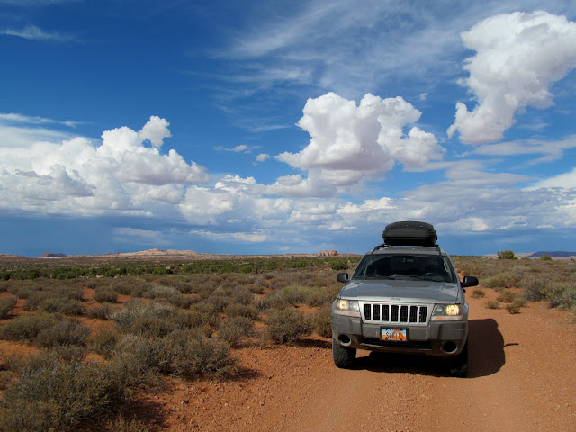
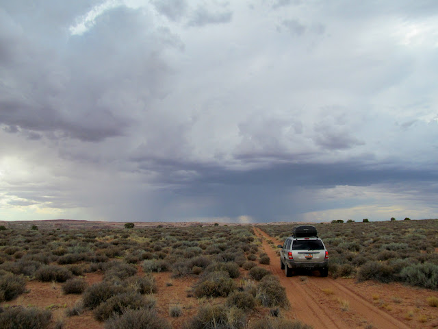
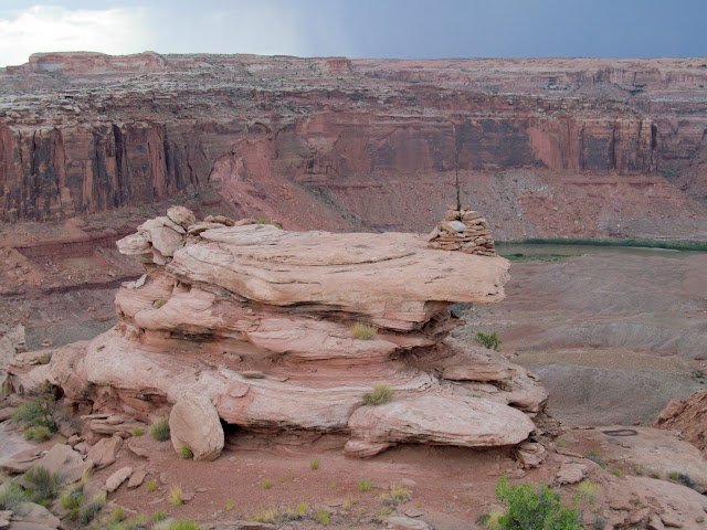
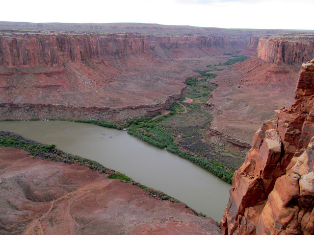
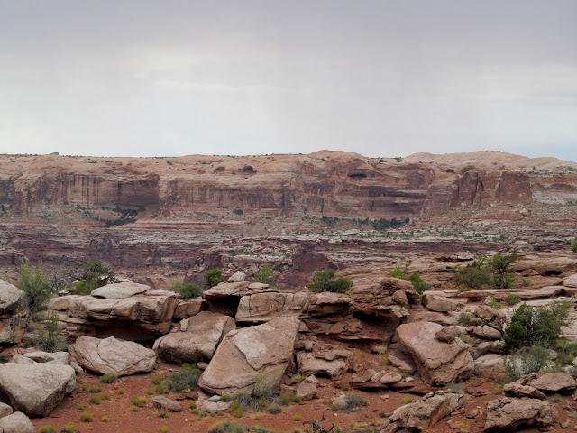
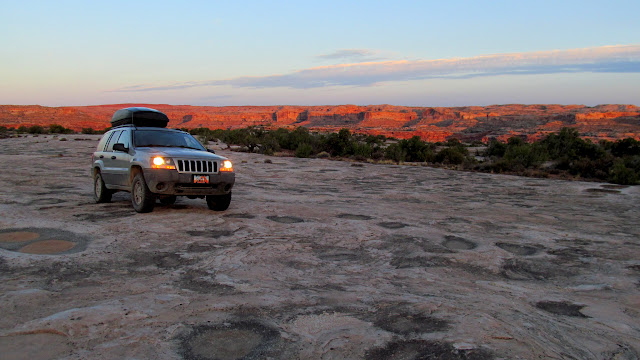
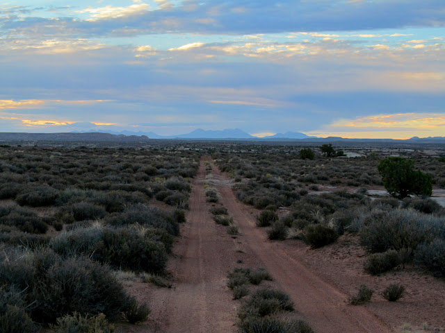
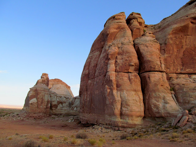
I've been recreating in the high country most weekends this summer, but a longing for the redrock canyon country has been growing. I had planned a short trip to the desert the previous weekend, but I've spent the last month and a half looking for just the right truck to purchase and the opportunity arose on Friday to do just that, sidelining my trip. This past weekend, I expanded my plan for a short desert trip into a longer journey involving some peak bagging in the La Sal Mountains. After work on Friday I packed up the Jeep and drove toward Moab, turning off north of town and aiming for Deadman Point. Blue skies with white, puffy clouds gave way to storm clouds, and the road became rougher as I neared its end. From the end of one branch of the road, I hiked a quarter of a mile to the rim of Labyrinth Canyon. Across the Green River I could see the mouth of Horseshoe Canyon. The wind howled along the rim of the canyon and I cut my hike short, returning to the Jeep and driving to the end of the road at the far west end of Deadman Point. Here I also hiked a short distance to the canyon rim and peered once again into the canyon of the Green River before returning to my vehicle. It rained lightly and I made some dinner and drank some beer, then settled into the Jeep for some reading before going to sleep early.
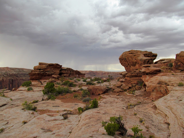
Summer storm clouds movin' in on Deadman Point
Driving into the storm
Large cairn on a rocky knoll above Labyrinth Canyon
Mouth of Horseshoe Canyon
Rock formation on the rim of Labyrinth Canyon
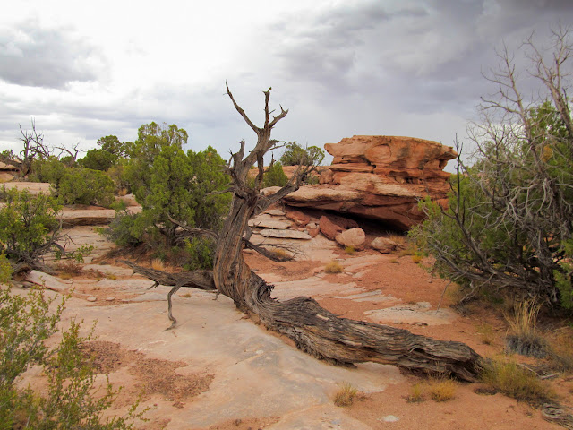
Gnarly, old, dead juniper
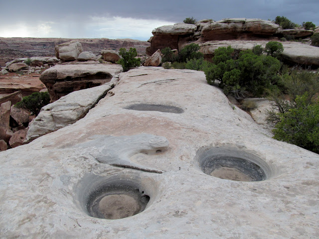
Potholes
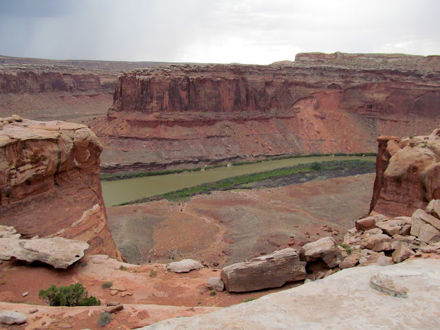
Green River
Colonnade Arch on the opposite rim of Labyrinth Canyon
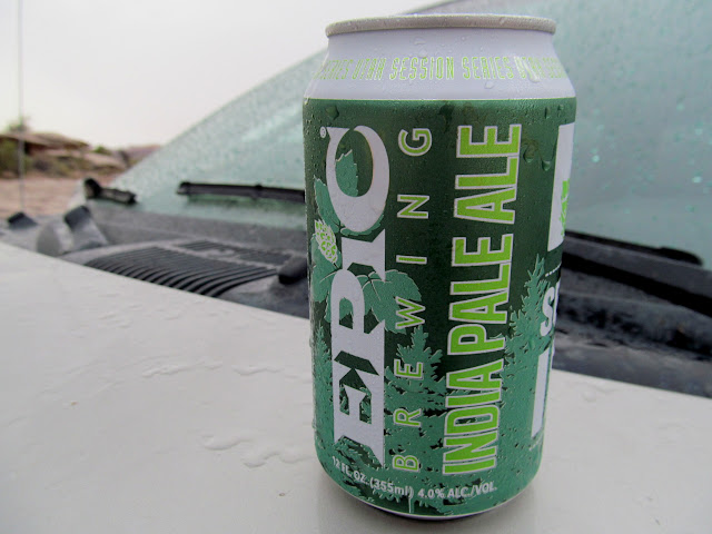
Epic IPA
Book Cliffs near Green River
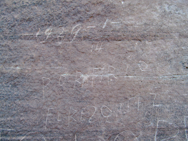
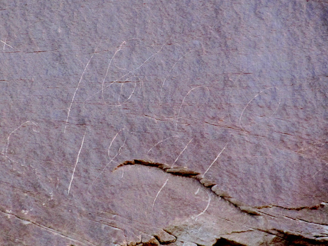
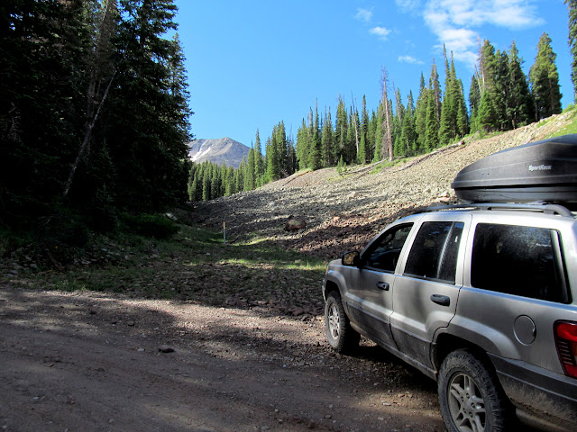
I was awake by 6AM on Saturday and within half an hour I'd already drank some coffee and was on the road. I wanted to get into the La Sals and hike Haystack Mountain before any afternoon storms came. However, I couldn't resist stopping at a prominent rock formation near the road that looked like it ought to have some rock art and/or inscriptions carved into it. I did find a couple of inscriptions, one perplexing but possibly from 1895. With stops, including fuel in Moab, it took 3.5 hours to reach the "trailhead" for Haystack Mountain north of Geyser Pass.
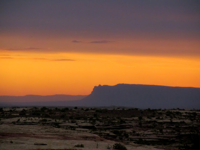
Sunrise on Saturday
Sun on the cliffs of Labyrinth Canyon
La Sals on the horizon
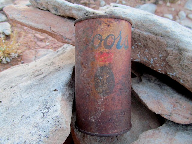
Old Coors beer can found in a cairn
Porfirio Feresquez 1/14/1939
1?66 1895
Lots of canvas but no works of art
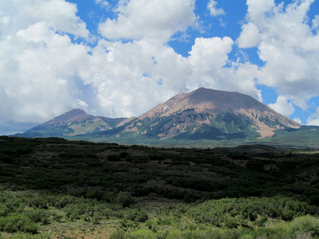
Mount Mellenthin
Climbing from Geyser Pass toward Haystack Mountain
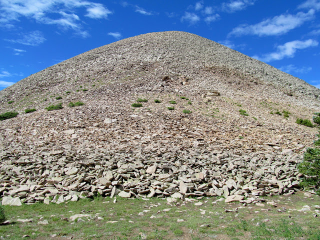
Haystack is probably one of the lesser-hiked named summits in the La Sals, but there's still a decent trail leading to the saddle between Haystack Mountain and Burro Ridge. From the saddle I hiked another four-tenths of a mile off-trail, mostly through talus, to the summit. Climbing the talus was tedious, but the rocks were larger and fairly well-consolidated, and with careful foot placement I was able to make it up and back down without any slips. The views from the top were typical of any of the La Sal peaks: stunning vistas of the desert and nearby peaks in all directions. The entire hike was a little over 2.5 miles with 850' elevation gain/loss, and only took about three hours.
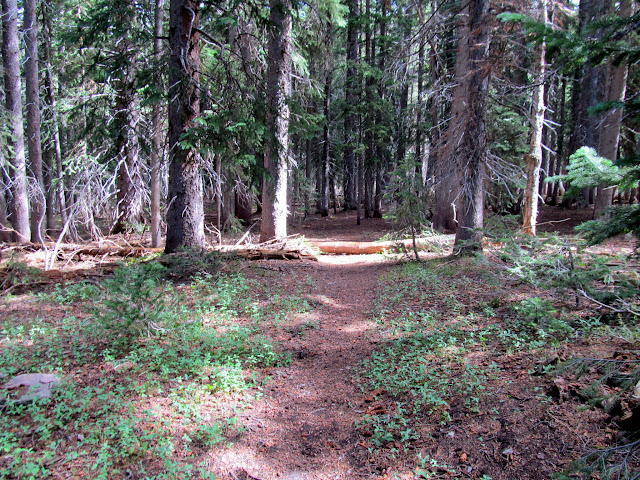
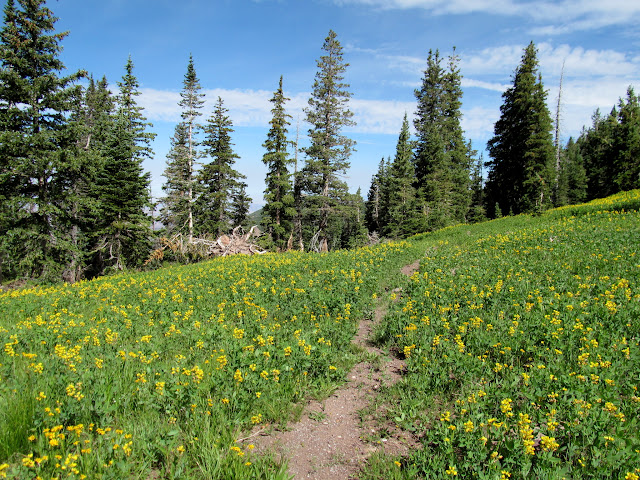
Trail through the trees
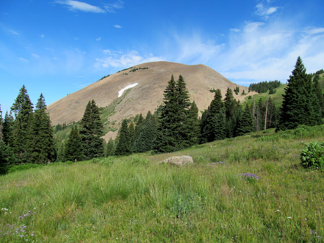
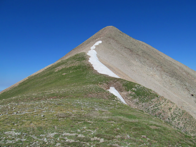
Haystack Mountain
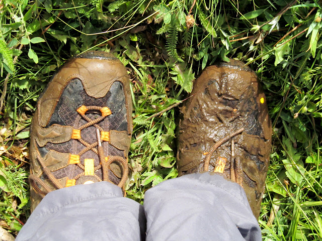
One muddy shoe after slipping into a bog
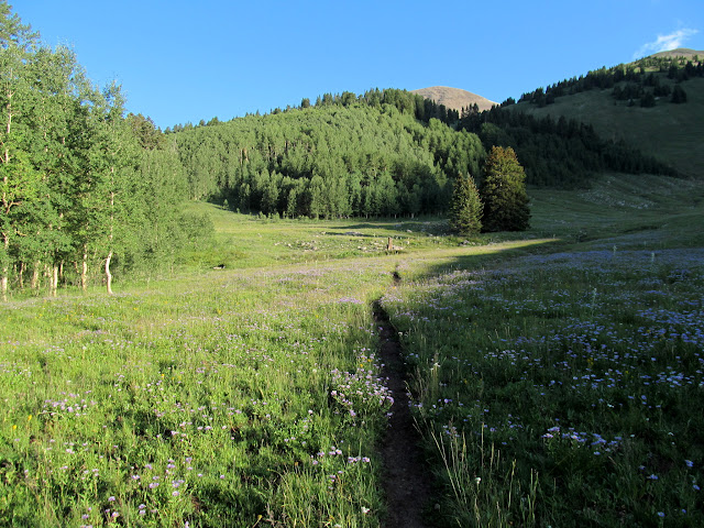
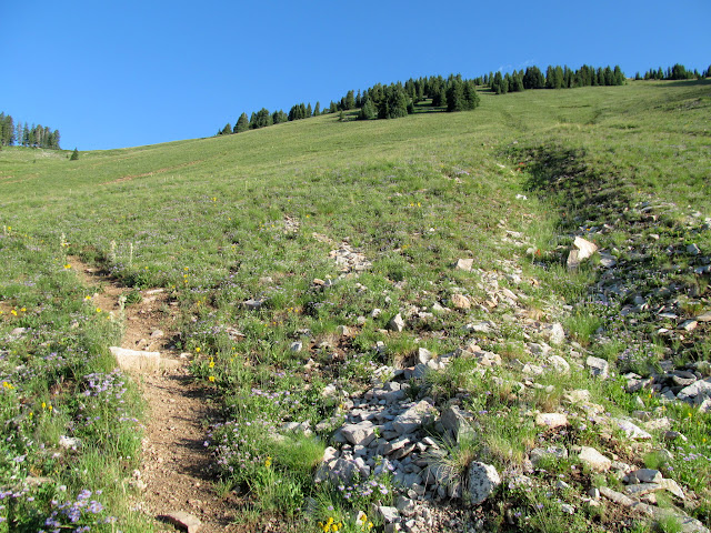
Faint but easy trail
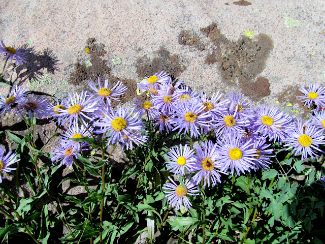
Daisies
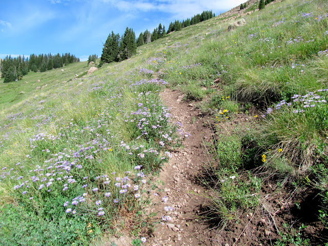
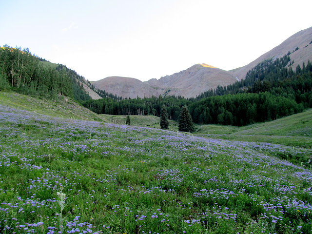
Wildflowers in the saddle between Haystack and Burro Ridge
Base of the talus leading up Haystack Mountain
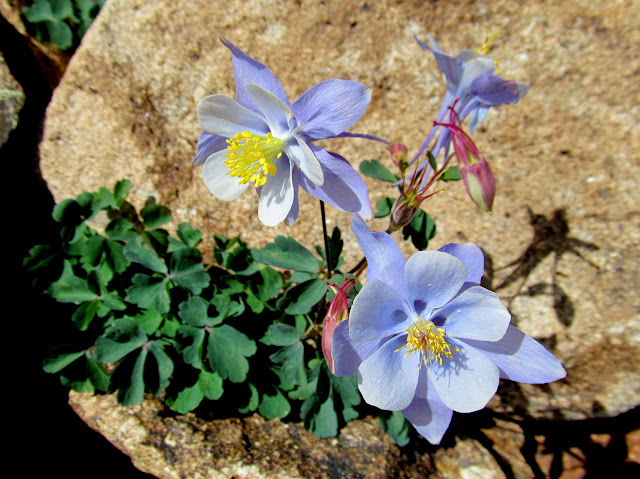
Colorado Columbine
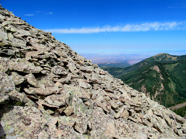
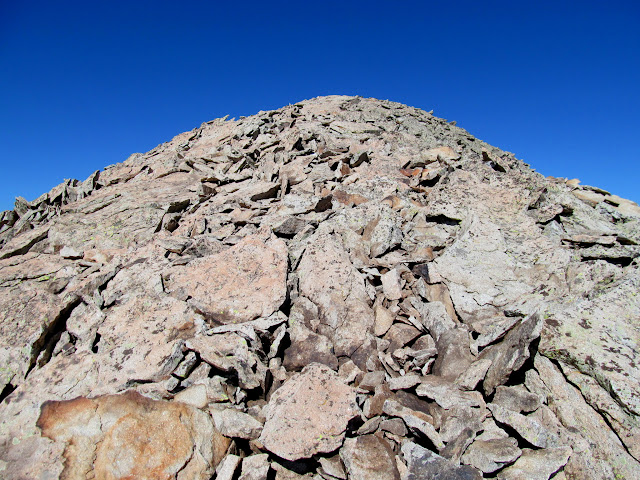
Talus and a slight view to the north
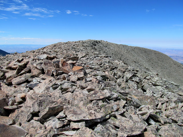
Summit ridge of Haystack Mountain
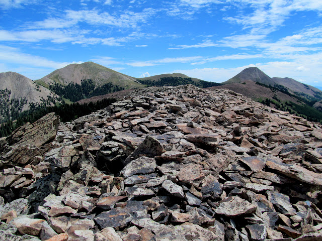
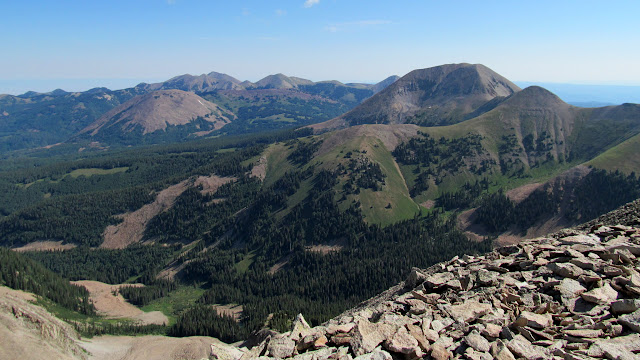
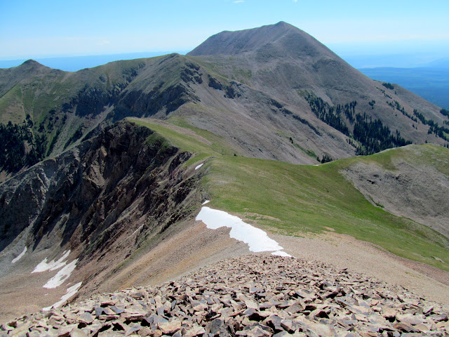
Mann's Peak and Mount Tomasaki from Haystack Mountain
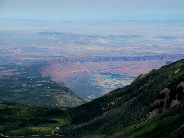
Castle Valley
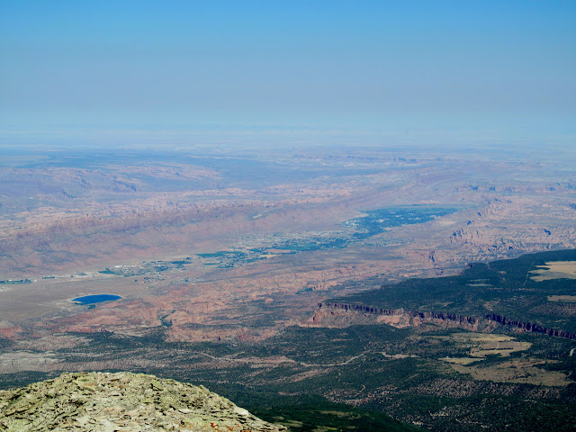
Henry Mountains 90 miles away
Trail back to the Jeep
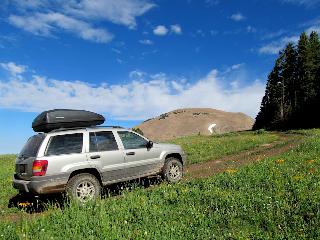
After returning to my vehicle I circled around Mount Mellenthin and Mount Peale, ending up at La Sal Pass for the rest of the evening. I camped at a spot near the trailhead for Mount Tukuhnikivatz, which I planned on hiking the next morning. My early start this day left me with several hours to kill before bedtime. The mosquitoes were very bothersome so I just holed up inside the Jeep, reading and listening to music. Shortly after 6AM I was awake, and so were the mosquitoes! I drove from my camp spot to a more open area and hurriedly made coffee, which I downed with some donuts while driving to where I wanted to start hiking. I parked at the end of a road northeast of the usual Tuk trailhead, which saves well over a mile of hiking and a little bit of elevation gain/loss over the normal route.
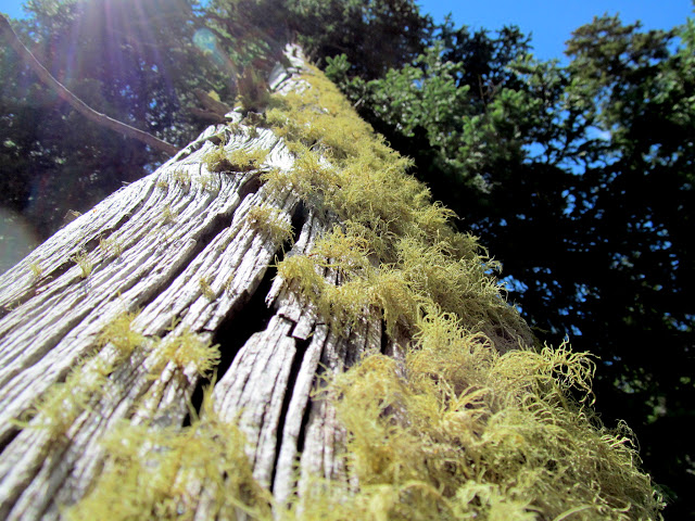
Old Man's Beard on a dead tree
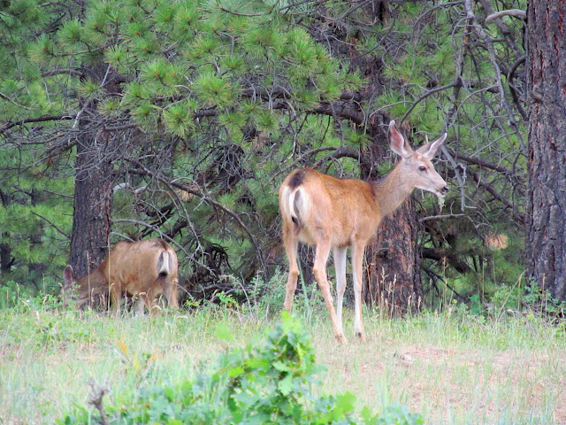
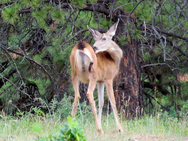
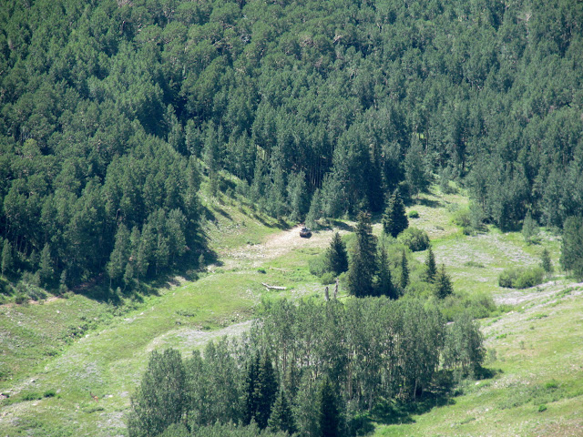
Deer near Chicken Creek
Scratchin' that itch
Tuk and Peale
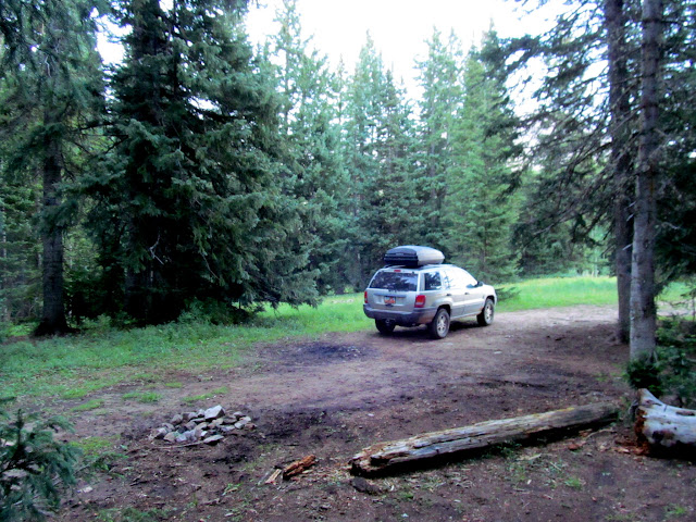
Camp spot at La Sal Pass
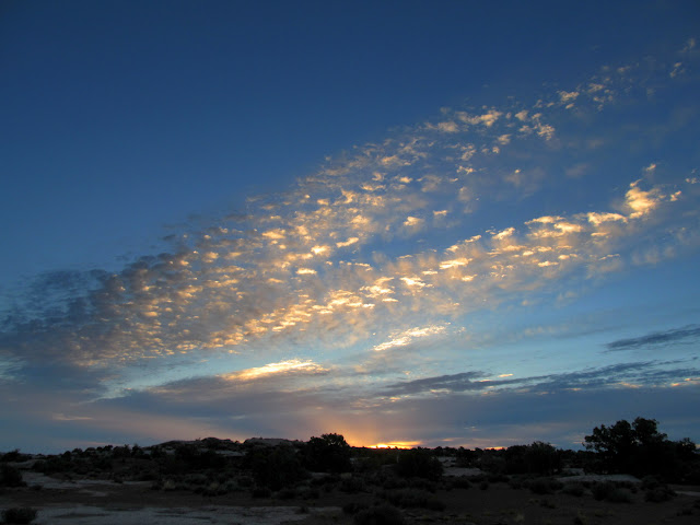
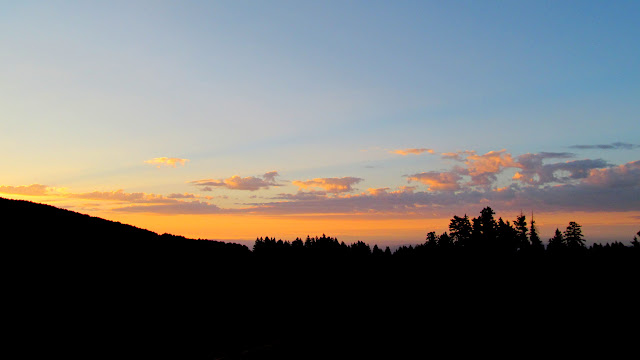
La Sal Pass sunrise
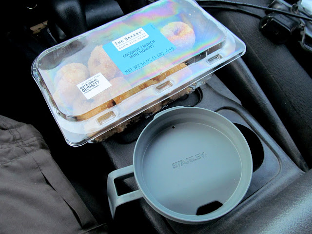
Coffee and donuts for the drive
At a little after 7:00 I was hiking, with a little bit of off-trail climbing before joining up with the Mount Tukuhnikivatz trail. The trail, constructed in 2015, has a fairly easy grade and switches back-and-forth up the mountain some 30-odd times. The trail ends where it reaches the ridge east of the summit, at which point it's a scramble up the talus the rest of the way. The talus on Tuk was looser than that on Haystack and made for slow-going. I had been the first person on the trail in the morning, but while climbing through the talus I was passed up by two hikers who made the summit just before me. I spent about 35 minutes on the summit enjoying the views and the 4G Verizon signal.") Hiking back down I passed four more hikers. A little before noon I was already back at the Jeep and enjoying my favorite post-hike snack, a Spicy Hot V8 and some kettle cooked salt and vinegar chips.
Hiking back down I passed four more hikers. A little before noon I was already back at the Jeep and enjoying my favorite post-hike snack, a Spicy Hot V8 and some kettle cooked salt and vinegar chips.
Starting point for the hike to Mount Tukuhnikivatz
On the trail with Tuk just barely visible
Lone Cone in the San Miguel Mountains of Colorado, 65 miles distant
The start of the switchbacks up the mountain
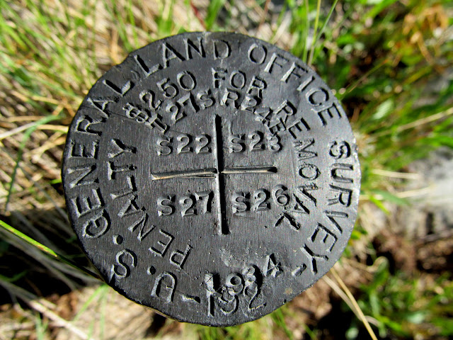
USGLO section corner marker, originally stamped for use in the 1920s but not used until 1934
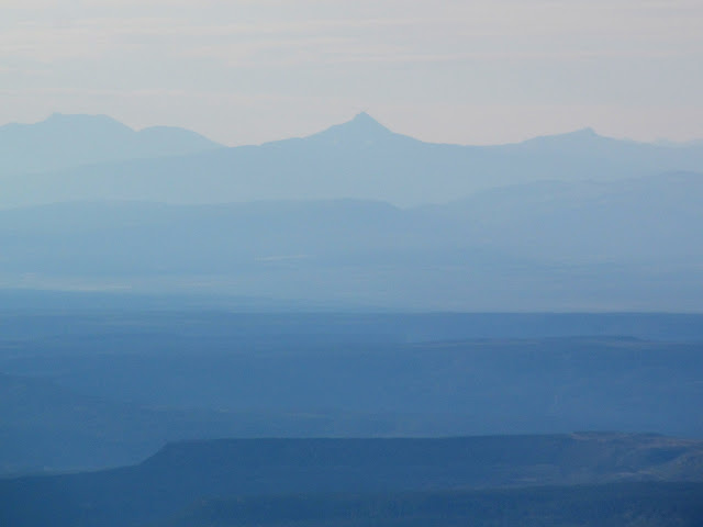
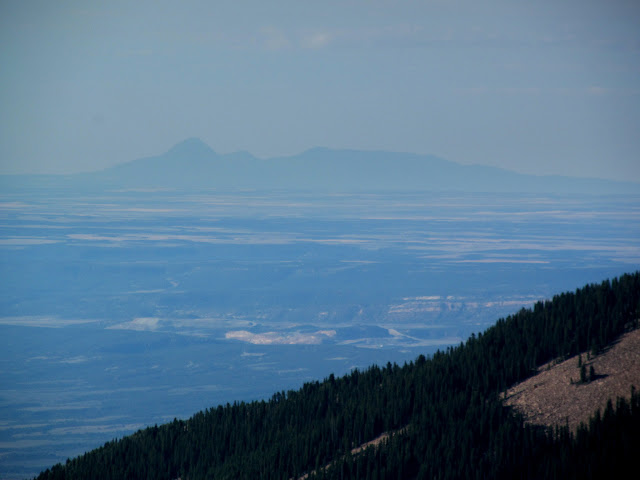
Sleeping Ute Mountain, 85 miles away in Colorado
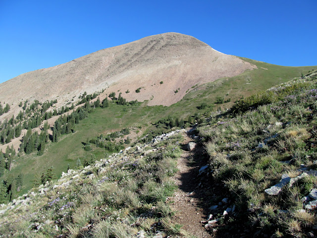
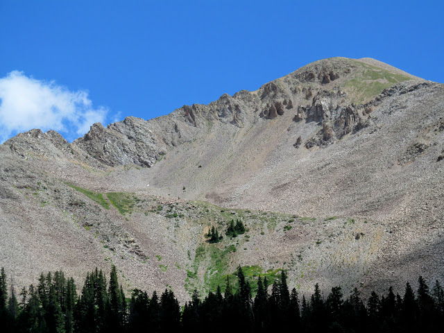
Mount Tukuhnikivatz looming over the trail
Final climb up Tuk
Nearing the top
Northern and middle La Sals
Moab Valley
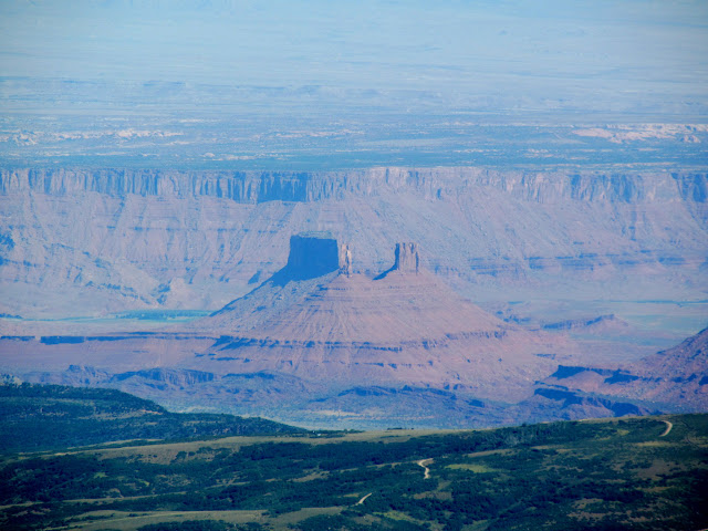
Castleton Tower
The ridge connecting Tuk and Peale
My vehicle parked 3/4-mile away and 1,500' below
Razor Fang ridge between Tuk and Peale
Beautiful final hike back to the Jeep
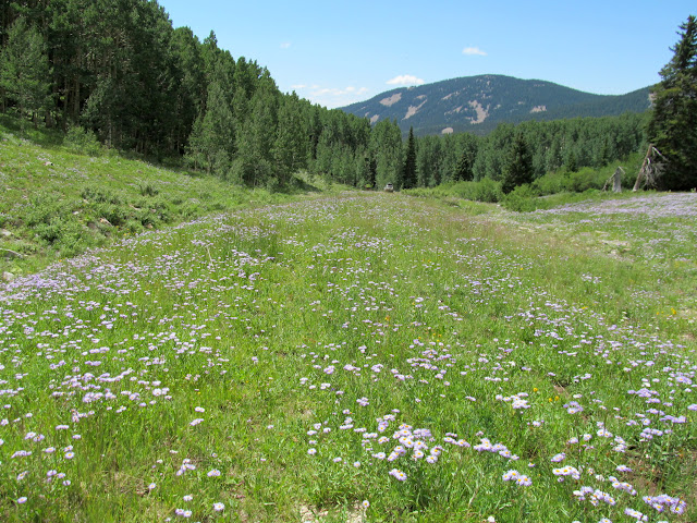
Photo Gallery: Deadman Point, Haystack Mountain, and Mount Tukuhnikivatz
GPS Track and Photo Waypoints:
[ Google Earth KMZ ] [ Gmap4 Satellite ] [ Gmap4 Topo ]
Summer storm clouds movin' in on Deadman Point
Driving into the storm
Large cairn on a rocky knoll above Labyrinth Canyon
Mouth of Horseshoe Canyon
Rock formation on the rim of Labyrinth Canyon
Gnarly, old, dead juniper
Potholes
Green River
Colonnade Arch on the opposite rim of Labyrinth Canyon
Epic IPA
Book Cliffs near Green River
I was awake by 6AM on Saturday and within half an hour I'd already drank some coffee and was on the road. I wanted to get into the La Sals and hike Haystack Mountain before any afternoon storms came. However, I couldn't resist stopping at a prominent rock formation near the road that looked like it ought to have some rock art and/or inscriptions carved into it. I did find a couple of inscriptions, one perplexing but possibly from 1895. With stops, including fuel in Moab, it took 3.5 hours to reach the "trailhead" for Haystack Mountain north of Geyser Pass.
Sunrise on Saturday
Sun on the cliffs of Labyrinth Canyon
La Sals on the horizon
Old Coors beer can found in a cairn
Porfirio Feresquez 1/14/1939
1?66 1895
Lots of canvas but no works of art
Mount Mellenthin
Climbing from Geyser Pass toward Haystack Mountain
Haystack is probably one of the lesser-hiked named summits in the La Sals, but there's still a decent trail leading to the saddle between Haystack Mountain and Burro Ridge. From the saddle I hiked another four-tenths of a mile off-trail, mostly through talus, to the summit. Climbing the talus was tedious, but the rocks were larger and fairly well-consolidated, and with careful foot placement I was able to make it up and back down without any slips. The views from the top were typical of any of the La Sal peaks: stunning vistas of the desert and nearby peaks in all directions. The entire hike was a little over 2.5 miles with 850' elevation gain/loss, and only took about three hours.
Trail through the trees
Haystack Mountain
One muddy shoe after slipping into a bog
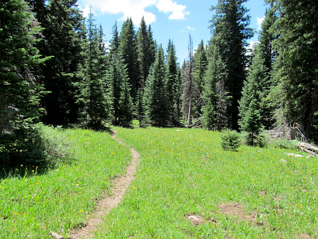
Faint but easy trail
Daisies
Wildflowers in the saddle between Haystack and Burro Ridge
Base of the talus leading up Haystack Mountain
Colorado Columbine
Talus and a slight view to the north
Summit ridge of Haystack Mountain
Mann's Peak and Mount Tomasaki from Haystack Mountain
Castle Valley
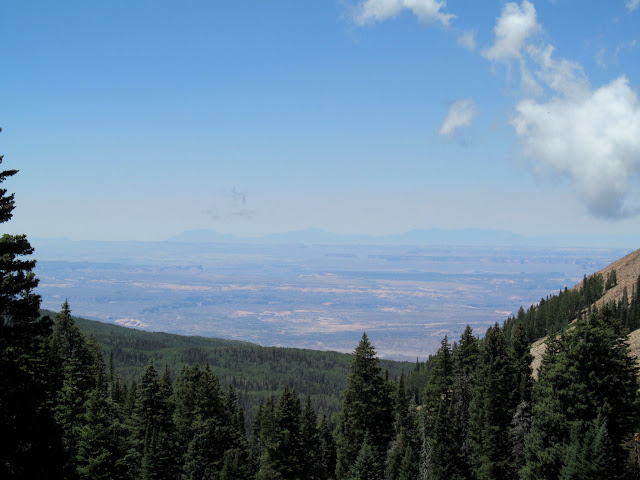
Henry Mountains 90 miles away
Trail back to the Jeep
After returning to my vehicle I circled around Mount Mellenthin and Mount Peale, ending up at La Sal Pass for the rest of the evening. I camped at a spot near the trailhead for Mount Tukuhnikivatz, which I planned on hiking the next morning. My early start this day left me with several hours to kill before bedtime. The mosquitoes were very bothersome so I just holed up inside the Jeep, reading and listening to music. Shortly after 6AM I was awake, and so were the mosquitoes! I drove from my camp spot to a more open area and hurriedly made coffee, which I downed with some donuts while driving to where I wanted to start hiking. I parked at the end of a road northeast of the usual Tuk trailhead, which saves well over a mile of hiking and a little bit of elevation gain/loss over the normal route.
Old Man's Beard on a dead tree
Deer near Chicken Creek
Scratchin' that itch
Tuk and Peale
Camp spot at La Sal Pass
La Sal Pass sunrise
Coffee and donuts for the drive
At a little after 7:00 I was hiking, with a little bit of off-trail climbing before joining up with the Mount Tukuhnikivatz trail. The trail, constructed in 2015, has a fairly easy grade and switches back-and-forth up the mountain some 30-odd times. The trail ends where it reaches the ridge east of the summit, at which point it's a scramble up the talus the rest of the way. The talus on Tuk was looser than that on Haystack and made for slow-going. I had been the first person on the trail in the morning, but while climbing through the talus I was passed up by two hikers who made the summit just before me. I spent about 35 minutes on the summit enjoying the views and the 4G Verizon signal.
Hiking back down I passed four more hikers. A little before noon I was already back at the Jeep and enjoying my favorite post-hike snack, a Spicy Hot V8 and some kettle cooked salt and vinegar chips.Starting point for the hike to Mount Tukuhnikivatz
On the trail with Tuk just barely visible
Lone Cone in the San Miguel Mountains of Colorado, 65 miles distant
The start of the switchbacks up the mountain
USGLO section corner marker, originally stamped for use in the 1920s but not used until 1934
Sleeping Ute Mountain, 85 miles away in Colorado
Mount Tukuhnikivatz looming over the trail
Final climb up Tuk
Nearing the top
Northern and middle La Sals
Moab Valley
Castleton Tower
The ridge connecting Tuk and Peale
My vehicle parked 3/4-mile away and 1,500' below
Razor Fang ridge between Tuk and Peale
Beautiful final hike back to the Jeep
Photo Gallery: Deadman Point, Haystack Mountain, and Mount Tukuhnikivatz
GPS Track and Photo Waypoints:
[ Google Earth KMZ ] [ Gmap4 Satellite ] [ Gmap4 Topo ]