Ben
Member
- Joined
- Sep 12, 2014
- Messages
- 1,873
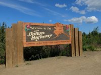
It's about 500 miles from Fairbanks to Deadhorse at the Prudhoe Bay oil fields. The Dalton Highway makes up the last 414 miles of that. Some sections are paved, but it is primarily a gravel road, often treated with calcium chloride to harden the road surface. Traffic on the highway is primarily semis hauling equipment, and every thing else, to the oil fields, followed by motorcycles, followed by passenger vehicles. Followed by bicycles. The route crosses taiga, then the Brooks Range, then finally arctic tundra. You can't actually drive to the Arctic Ocean. You have to pay $60 to ride a shuttle that runs twice a day. Any way. Here's a smattering of photos from my ride up and down that road.
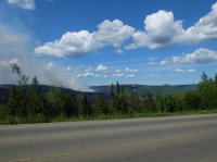
Some of the fires that Alaska had this summer.
Coldfoot and a shop at the Yukon River are just about the only two places along the highway to get gas between Fairbanks and Deadhorse. I had to take an extra gas can for the last 240 mile stretch .
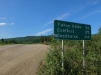
Dirt road for days.
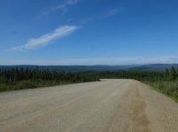
The pipeline. The road here is not actually the highway, just the access road. I walked over here for a closer look.
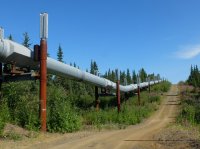
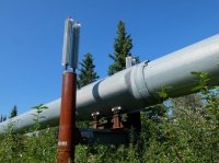
The Yukon River.
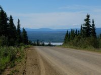
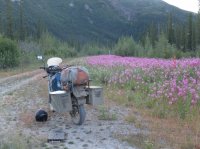
Fireweed grows in areas that have been cleared.
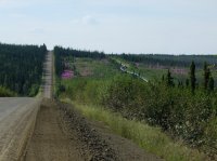
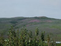
A little crazy to think that it just runs West like this for several hundred miles, no more roads.
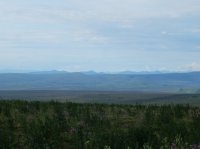
Coming into the Brooks Range.
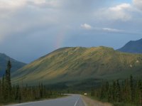
Mount Sukapak.
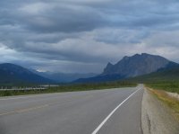
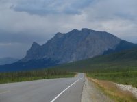
A little more rain. I believe it rained on me every day that i was in Alaska, except the day i visited Deadhorse, where it was nearly freezing.
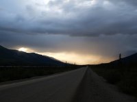
The Chandalar Shelf, going East into the Arctic National Wildlife Refuge. Just a few miles South of Atigun Pass on the crest of the Brooks Range. I'm past the northern tree line here.
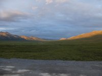
On the North side of Atigun Pass. In the pass there are light arrows that point the direction for small planes to fly when it is cloudy. The road is very rocky through the pass, a small adventure on the motorcycle.
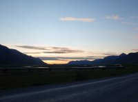
Getting late. After eleven pm now.
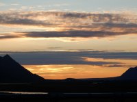
At the free campground at Galbraith Lake. This was one of my favorite places. Check how the license plate is totally covered by the mud from the road.
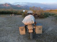
I like the mud pattern on my shins.
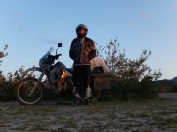
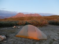
Views from camp.
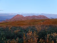
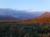
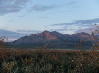
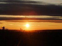
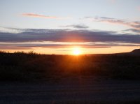
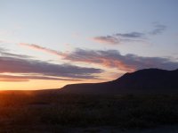
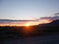
I'm North of the Arctic Circle. Theoretically the sun doesn't actually set here, it just goes behind the mountains. This picture is taken some where after one am.
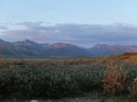
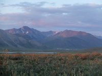
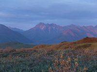
The next morning. It was appreciably colder on this side of the Brooks. I felt it change as i rode over the pass.
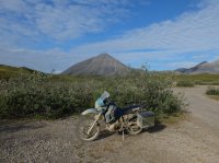
Leaving the Brooks.
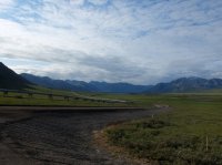
Out on the tundra. Looking back South. In the center you see the Brooks on the horizon.
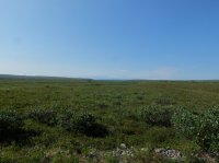
The tallest bushes only grow as high as me here. I got off the bike to warm my hands up. Even with the winter gloves, at 55 mph it was so cold i had to stop to warm up my hands. Twice. Again, this is not the highway, just a service road where i'm walking with my hands balled in my pockets.
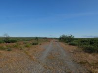
The Sagavanirktok, or Sag River. Again, the Brooks on the horizon, looking South.
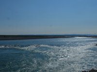
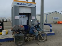
The gas station in Deadhorse. I made it.
Smack in the middle of July.
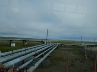
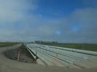
Looking at the pipes, riding the shuttle to the ocean.
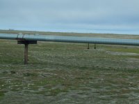
The balls hanging off the pipe absorb vibrations.
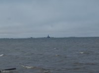
The ocean. Interesting to think that Russia's that direction. And an ice cap.

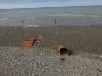
I'm still wearing just about every layer i've got. I was freezing.
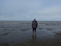
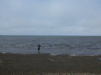
One of the other guys that rode the shuttle went for a dip. He'd just graduated college and driven here from Boston, having dunked his self in the Atlantic and Pacific on the way.
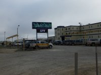
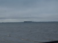
Some of the buildings. The bigger ones have hundreds of people working in them.
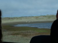
Arctic geese.
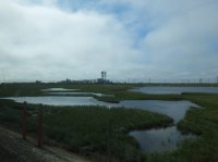
The post office. It adjoins the general store.
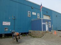
Riding back South i saw this guy.
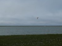
Some bluffs along the Sag River.
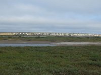
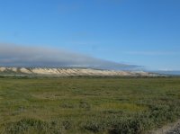
It's so freaking flat out here. For more than a hundred miles, all the way to the ocean.
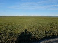
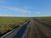
Nearing the Brooks again. The ride wasn't so cold on the way back. About half an hour from Deadhorse i started to warm up.
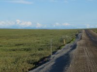
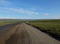
Sag River and the Brooks Range.
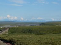
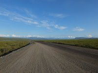
Coming back to the mountains.
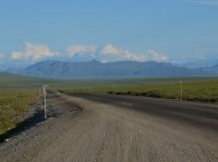
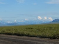
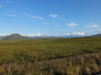
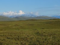

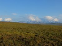
North side of the Brooks Range.
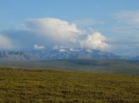
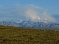
Lakes in the tundra.
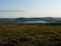
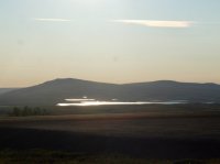
After crossing the pass again I stopped before getting to Coldfoot to do a packrafting trip here. Spent a week in Gates of the Arctic National Park. These pictures are from the spot where i left the highway.
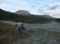
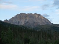
The Dietrich River bar. The gap is Kuyuktuvuk Creek, where i would hike in.

Just one of the many braids of the Dietrich River
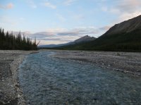
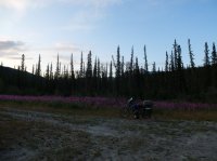
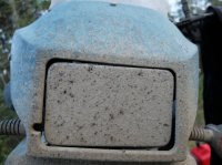
It's a good thing it was light enough out that i never needed this.
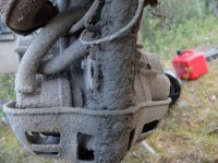
The bike's undercarriage.
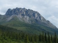
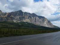
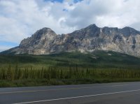
These are some picture of the Brooks that i took on the way back to where i had left my bike.
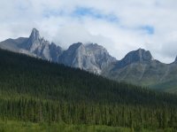
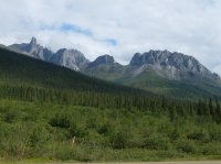
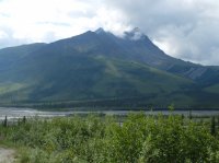
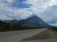

Stopped at the Arctic Circle on the way back down.
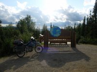
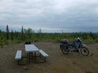
The night after getting back to my bike i stopped at the 'campground' about five miles North of the Yukon River. It's just a very large gravel circle. But it has tables and fire pits, and a bath room, trash, and potable water. From here i rode back to Fairbanks the next day.
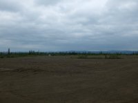
I loved it.
Some of the fires that Alaska had this summer.


Coldfoot and a shop at the Yukon River are just about the only two places along the highway to get gas between Fairbanks and Deadhorse. I had to take an extra gas can for the last 240 mile stretch .

Dirt road for days.

The pipeline. The road here is not actually the highway, just the access road. I walked over here for a closer look.


The Yukon River.

Fireweed grows in areas that have been cleared.


A little crazy to think that it just runs West like this for several hundred miles, no more roads.

Coming into the Brooks Range.

Mount Sukapak.


A little more rain. I believe it rained on me every day that i was in Alaska, except the day i visited Deadhorse, where it was nearly freezing.

The Chandalar Shelf, going East into the Arctic National Wildlife Refuge. Just a few miles South of Atigun Pass on the crest of the Brooks Range. I'm past the northern tree line here.

On the North side of Atigun Pass. In the pass there are light arrows that point the direction for small planes to fly when it is cloudy. The road is very rocky through the pass, a small adventure on the motorcycle.

Getting late. After eleven pm now.

At the free campground at Galbraith Lake. This was one of my favorite places. Check how the license plate is totally covered by the mud from the road.


I like the mud pattern on my shins.

Views from camp.


I'm North of the Arctic Circle. Theoretically the sun doesn't actually set here, it just goes behind the mountains. This picture is taken some where after one am.


The next morning. It was appreciably colder on this side of the Brooks. I felt it change as i rode over the pass.

Leaving the Brooks.

Out on the tundra. Looking back South. In the center you see the Brooks on the horizon.

The tallest bushes only grow as high as me here. I got off the bike to warm my hands up. Even with the winter gloves, at 55 mph it was so cold i had to stop to warm up my hands. Twice. Again, this is not the highway, just a service road where i'm walking with my hands balled in my pockets.

The Sagavanirktok, or Sag River. Again, the Brooks on the horizon, looking South.

The gas station in Deadhorse. I made it.

Smack in the middle of July.

Looking at the pipes, riding the shuttle to the ocean.

The balls hanging off the pipe absorb vibrations.

The ocean. Interesting to think that Russia's that direction. And an ice cap.


I'm still wearing just about every layer i've got. I was freezing.

One of the other guys that rode the shuttle went for a dip. He'd just graduated college and driven here from Boston, having dunked his self in the Atlantic and Pacific on the way.

Some of the buildings. The bigger ones have hundreds of people working in them.


Arctic geese.


The post office. It adjoins the general store.

Riding back South i saw this guy.

Some bluffs along the Sag River.


It's so freaking flat out here. For more than a hundred miles, all the way to the ocean.


Nearing the Brooks again. The ride wasn't so cold on the way back. About half an hour from Deadhorse i started to warm up.


Sag River and the Brooks Range.


Coming back to the mountains.


North side of the Brooks Range.


Lakes in the tundra.


After crossing the pass again I stopped before getting to Coldfoot to do a packrafting trip here. Spent a week in Gates of the Arctic National Park. These pictures are from the spot where i left the highway.


The Dietrich River bar. The gap is Kuyuktuvuk Creek, where i would hike in.

Just one of the many braids of the Dietrich River


It's a good thing it was light enough out that i never needed this.

The bike's undercarriage.

These are some picture of the Brooks that i took on the way back to where i had left my bike.


Stopped at the Arctic Circle on the way back down.

The night after getting back to my bike i stopped at the 'campground' about five miles North of the Yukon River. It's just a very large gravel circle. But it has tables and fire pits, and a bath room, trash, and potable water. From here i rode back to Fairbanks the next day.


I loved it.
Last edited:


