- Joined
- Jul 23, 2013
- Messages
- 1,665
It was a long time coming. My 6-year-old, Ellory, finally got her turn out with dad. This daddy-daughter trip would take us into the Uintas, where we would backpack what has been dubbed the "Seventeen Lakes Loop" and include a little day hike to the Notch. The main objective, though, was to try and land a first fish for Ellory.
Day 1
Tuesday - June 23, 2015
We arrived at the Crystal Lake Trailhead at about 5:30 pm. This trailhead may very well be the most popular and busiest trailhead in the Uintas. Being a Tuesday, there were still dozens of cars, including a scout troop of 20+ scouts and leaders gearing up for an overnighter themselves. One can only imagine how many more cars are typically there on a weekend. This area receives a lot of use from day-hikers and backpackers alike. All we could do was hope that the scouts would be stopping their journey at Wall Lake, far enough away from where we were hoping to capture a bit of peace and tranquility: Twin Lakes.
The "Seventeen Lakes Loop" begins and ends at Crystal Lake Trailhead. It is a 4.5 mile route that takes you right past 17 different lakes of various sizes, most visible from the trail with a few that you must go up to a quarter mile off trail to see. If you're willing to go even further off trail in a couple spots, you could tally up 20 lakes or more. Most people will take the easier and more gradual way up by taking the Notch Mountain Trail up and around Wall Lake before getting off near Twin Lakes and looping over to Clyde Lake and returning to the trailhead via Cliff Lake. We followed suit.
We were on our way up the trail by 6 pm.
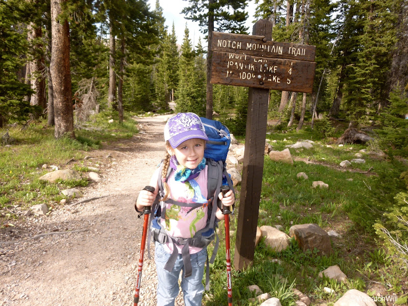
Lakes #1 and #2 are visible immediately upon beginning the hike. The trail goes right between two little lakes called Lily Lakes. I thought I took pics of both, but it looks like I only snapped a shot of the lake on the eastern side of the trail.
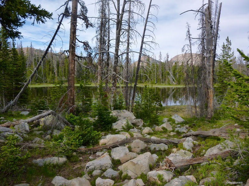
It wasn't long before Ellory was ready for a break. Luckily, Wall Lake is only about a mile up. When we saw the bridge and small waterfall dropping out of the small dam, we knew we were about there. It was pretty neat to think that this was essentially the headwaters for the Provo River, a river that runs all the way out to our city for which it is named, Provo, where it comes to an end at Utah Lake.
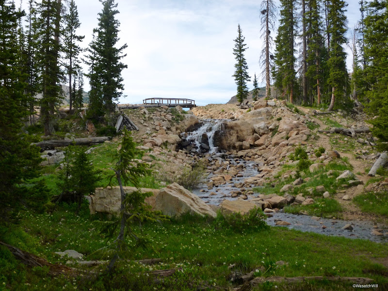
Wall Lake was lake #3 for us. I had applied some repellant on Ellory, but she was still getting bothered by mosquitos, so we took out her jacket and a bug net to give her some extra protection.
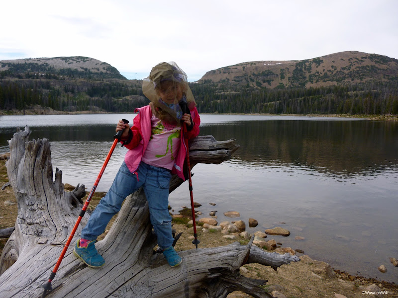
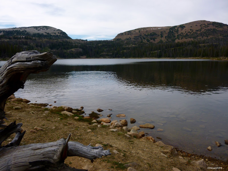
We he had arrived at Wall Lake, I breathed a sigh of relief to find that the big scout troop from back at the trailhead were setting up for the night up above the southern shore. As we rounded the eastern side of the lake there was yet another huge troop of 20 to 30 scouts all camped out and dining on dinner just above the eastern shore. I was happy we were seeking a spot not much farther but still further up, above, out of sight, and hopefully out of shouting range.
Only minutes after leaving the edges of Wall Lake, we got to what I believe counts as lake #4. I was only carrying a National Geographic Trail Illustrated map on me and it seemed to indicate this lake to be Hope Lake. However, USGS shows that Hope Lake is actually the next lake we would pass by. If that was the case, then this would be the one lake with no name.
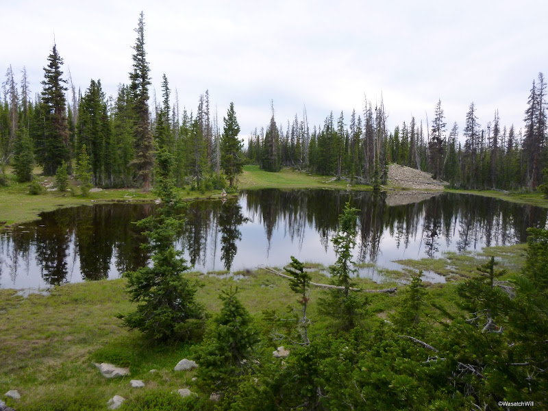
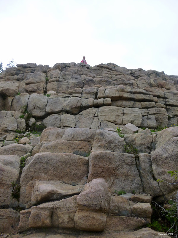
After rounding lake #4, the trail took us along side of a some stair stepper cliff and started to gain some elevation. Ellory saw the little cliff and sought to climb it rather than take the trail. I judged it to be safe enough and let her go. Up to the top she went.
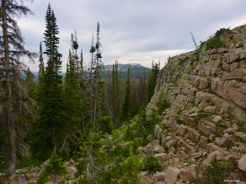
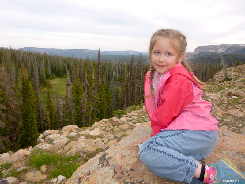
Just over the cliff sits lake #5, and what is likely to be Hope Lake if going by the USGS map. I didn't take any pictures because I thought it looked more like a shallow marshy pond than it did a lake and didn't think to count it at the time we were passing by. There was another group camped out right by it though. I was starting to get worried now because just about every campsite we had passed by to this point was occupied. Twin Lakes would be next and all we could do was hope that there would be an empty and secluded spot waiting for us there. It would be dark soon and Ellory was eager to try some fishing before it got too late.
At last, we stumbled upon the turn-off for Twin Lakes and made our way over. The area was very peaceful and there was no sign of anyone else around. Awesome! There were a handful of nice sites in the area, and we opted for one by the lower lake but only a stones throw away from the upper lake and got set up as quickly as we could.
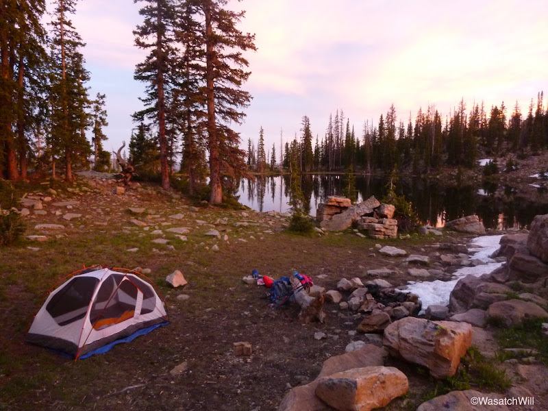
I did not know if there would be fish in these lakes, but as it turned out, the upper lake was alive and well with fish jumping all over the place. We used what little daylight we had left to throw out our lines in the upper lake and see if we could catch anything. We tried bottom floating Powerbait for Ellory and I threw out a fly. Nothing. But we were treated to a beautiful sunset.
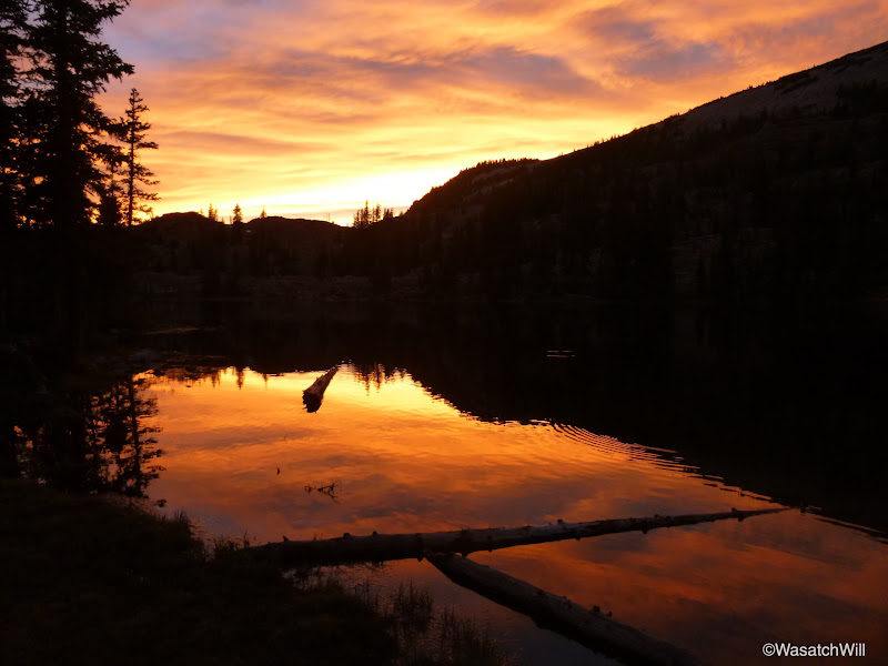
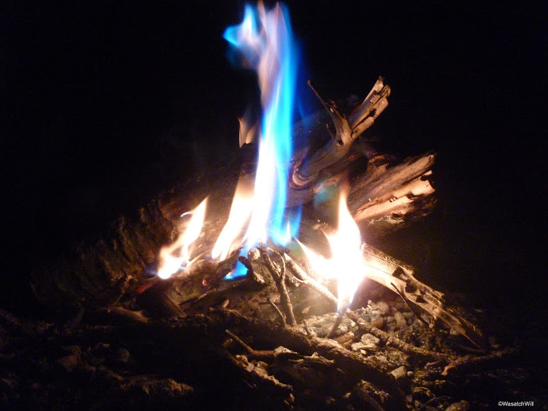
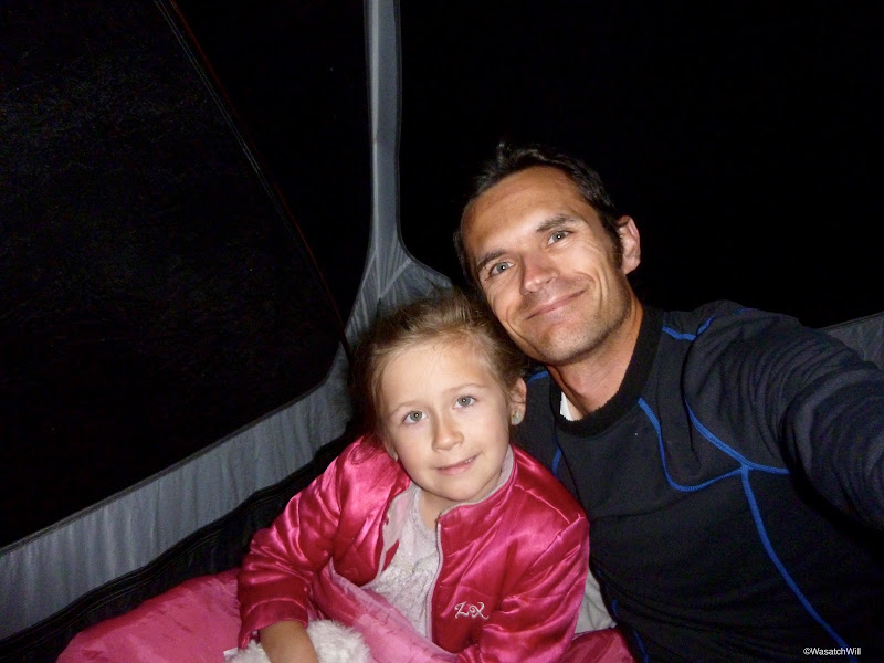
With the daylight now gone and the fish having settled down, it was time for a fire, late dinner, s'mores, a card game of war, and some sleep.
Day 2
Wednesday - June 24, 2015
Morning came, and as always, I was eager to get out and explore around the campsite and see what wildlife might be active in the area.
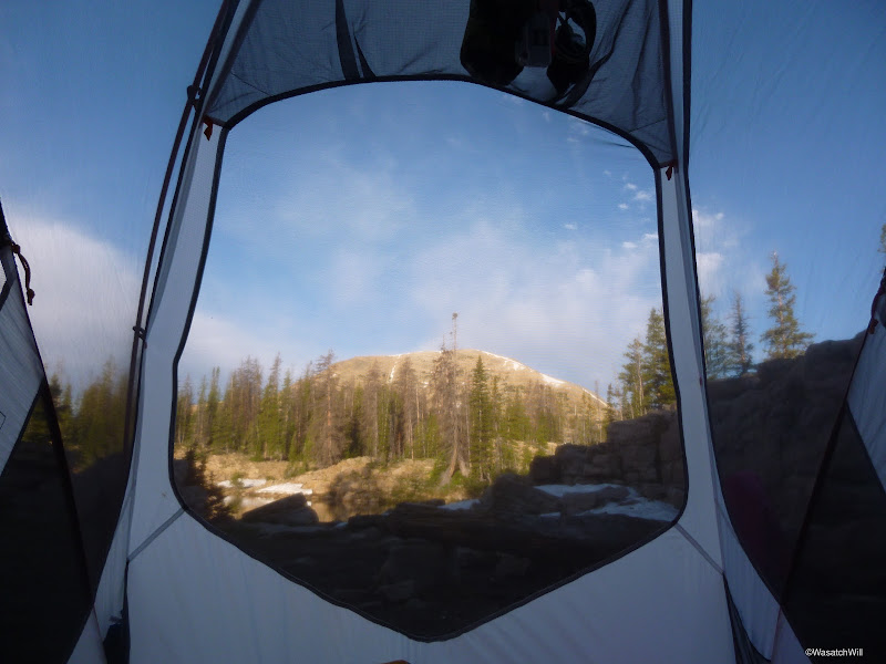
Or maybe not...
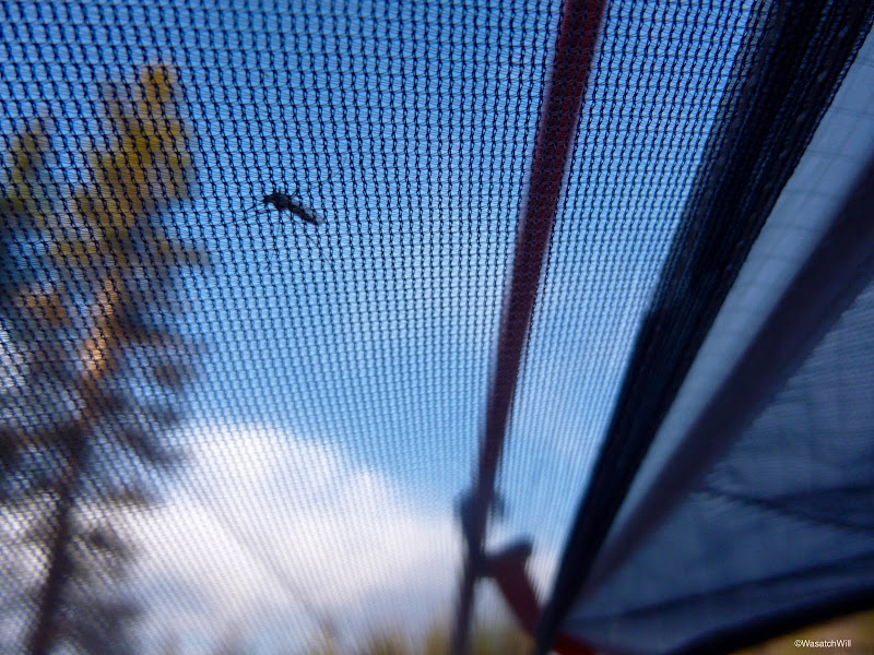
Ellory was still deep asleep. I quietly left the safe confines of the tent and had a peak out into the lake.
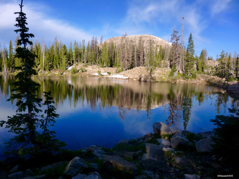
There was this guy out enjoying a morning swim.
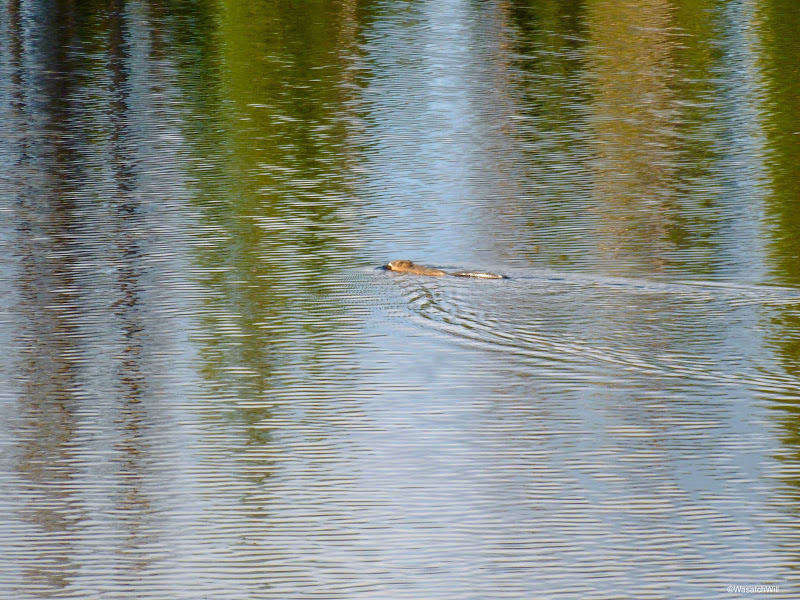
Yes, that's a beaver, but there was no sign of where his home might be. Once he got across the lake, he vanished.
I had been tempted to wake up Ellory so she could have a chance to see it too, but how could I?
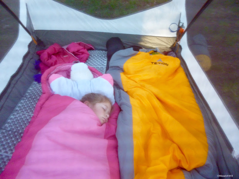
So I just let her sleep on. She'd just have to see it in pictures and video. While she continued to sleep, I grabbed my pole and sought out a good spot to try and fish the lower lake we were camped near. That way I'd be within sight of our tent the whole time. I took up a spot near the inlet. Fish were hanging out all around there.
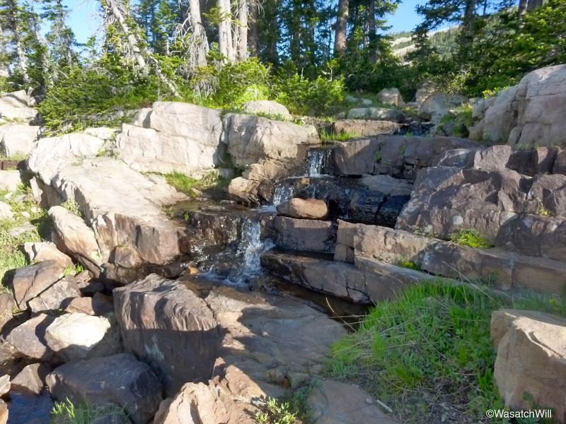
Unfortunately, I still couldn't get any good bites. I started out floating some flies across the surface, getting fish to track it all the way to shore every time but none would take it. I then tried a rooster tail and actually got a couple hits, but again, nothing would hold on. I then tried another fly, this time with a little salmon egg on it and just dangled it around the fish. I watched one hit it, but again, it instantly let go before I could react and I came up empty handed. Ellory awoke and came out to join me for a little while. We soon gave up.
After telling Ellory about the beaver, she wanted to explore around the other side of the lake to see if we could find it again. We did that but no beaver or lodging in sight.
We returned to camp, had a very late breakfast, cleaned up and packed our packs. We then left the packs to make a short little hike up to the Notch. The Notch is a pass that actually looks like a notch carved out of a mountain called Notch Mountain. It had been over 15 years since I last hiked the Notch, when I was with a friend back in high school. I remembered that there were some nice views.
Moments later, we were standing up on the Notch and looking down the other side at Lovenia Lake.
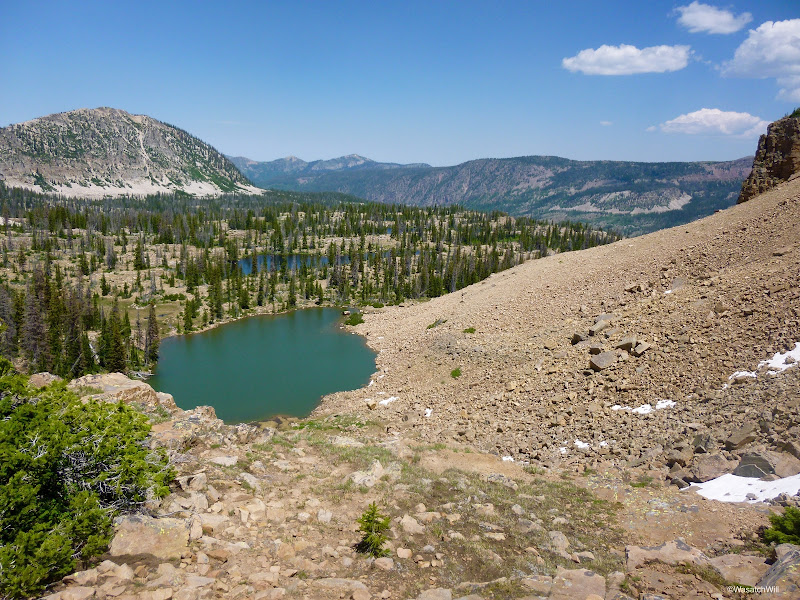
It was tempting to continue the hike down and over to Ibantik Lake but time was not on our side and we didn't want to have to hike back up and over to get back to our camp, so we just hung out for a little bit and enjoyed the views back south toward our camp and the network of lakes we'd be hiking back down and around that afternoon.
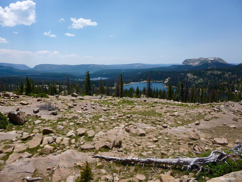
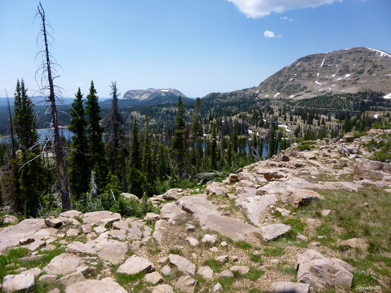

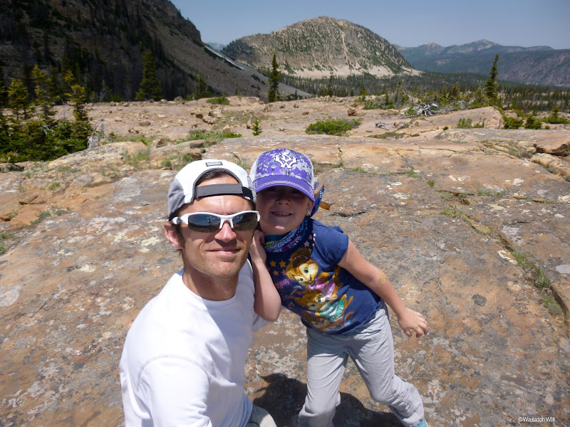
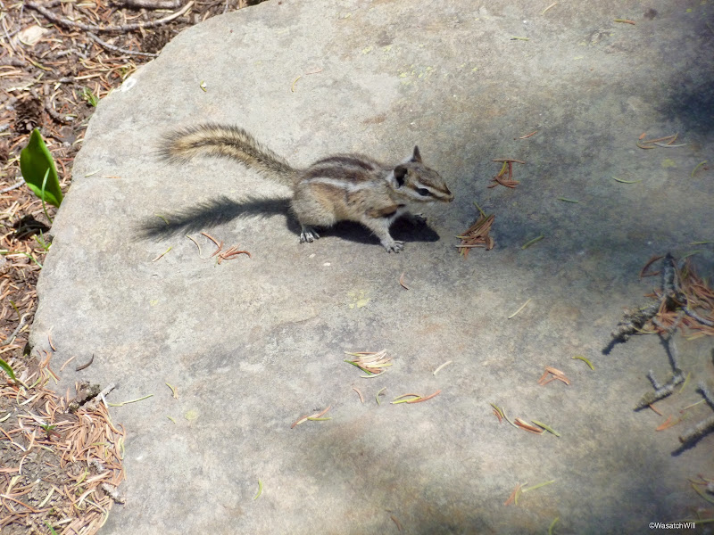
After a good break, it was time to return to camp. We had another rest with some snacks while playing keep away from the resident chipmunk.
It was now time to say good bye to Twin Lakes, lakes 6 and 7.
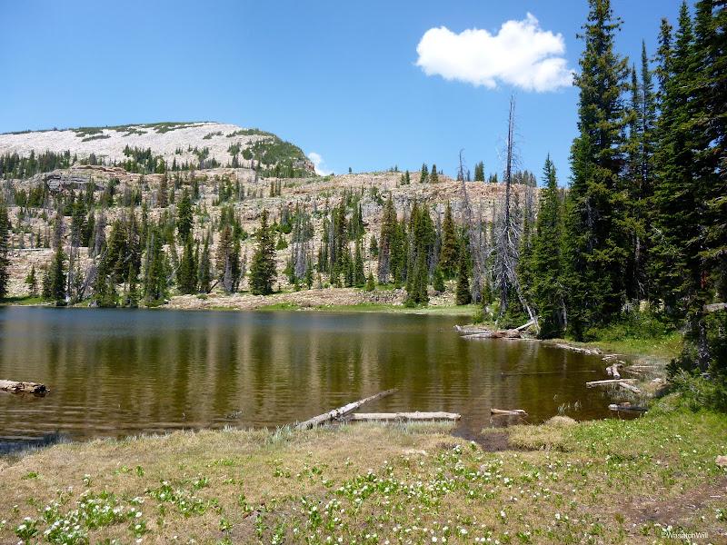
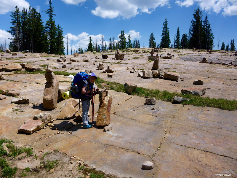
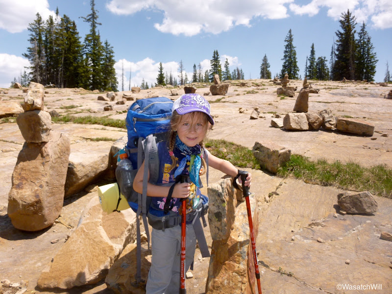
On our way out and over to Clyde Lake, we came across this place. We couldn't decide whether to call it "Hall of Cairns" or "Rock Tower Plaza".
A few hundred feet later, we were at the shores of Clyde Lake, lake #8. It was much bigger looking than I expected.
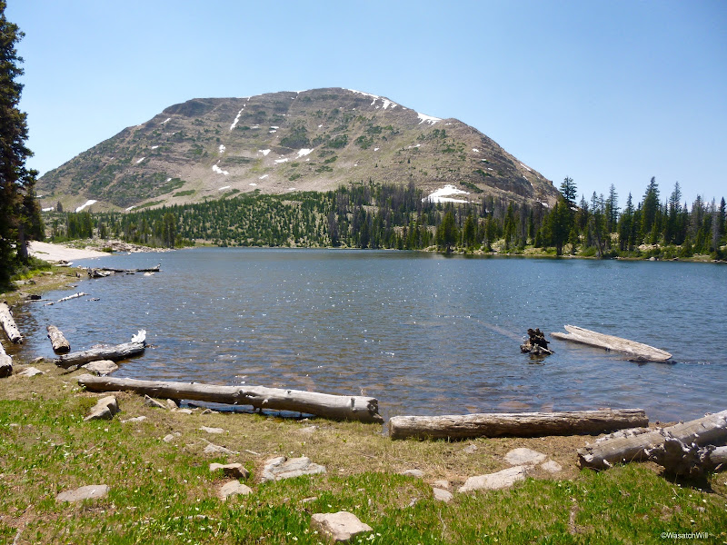
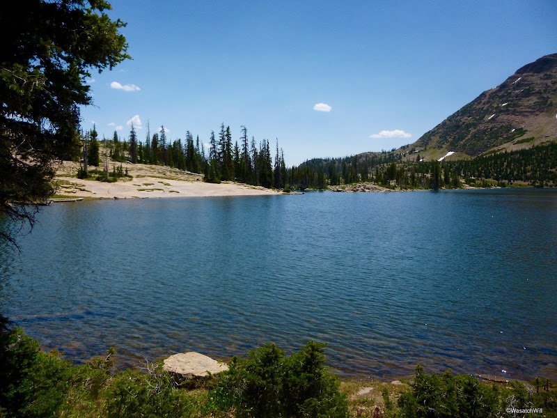
Once we got around to the western side of the lake and half-way down the shoreline, we took our packs off and made our way up into the Three Divide Lakes area.
We first went up and counted what I believe was Booker Lake as #9 for us. Edit: It's actually John Lake.
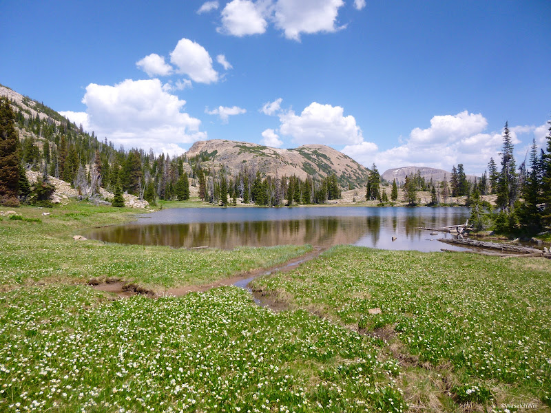
Then back to the first of the Three Divide Lakes for #10. Edit: This is Booker Lake.
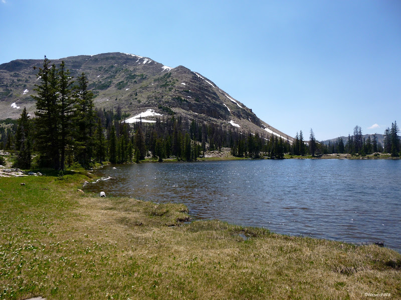
Then #11.
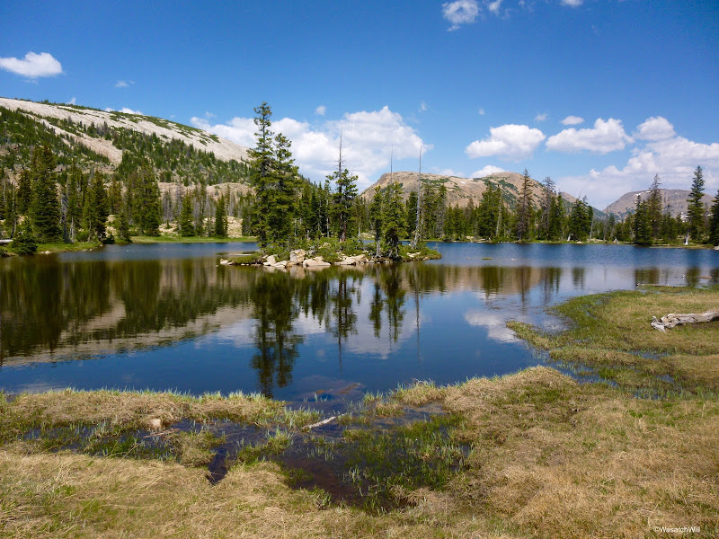
And #12.
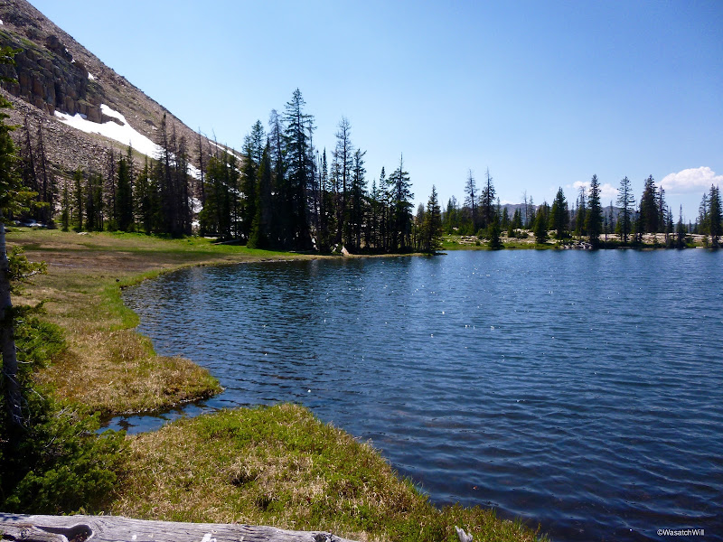
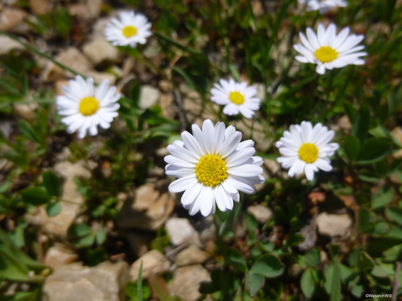
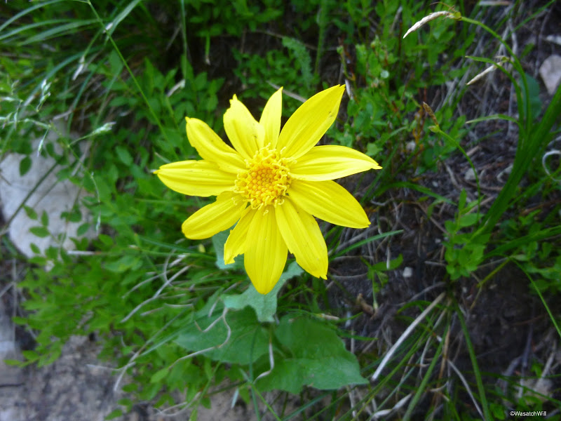
There was a nice a little meadow of miniature daisies that Ellory liked. It reminded her of her mom, who also likes daisies.
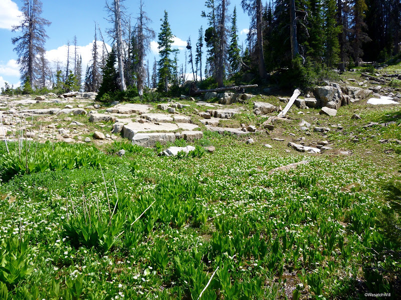
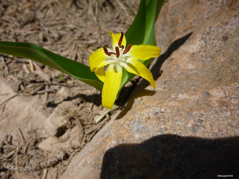
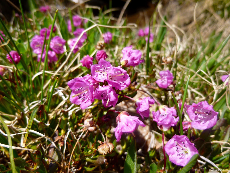
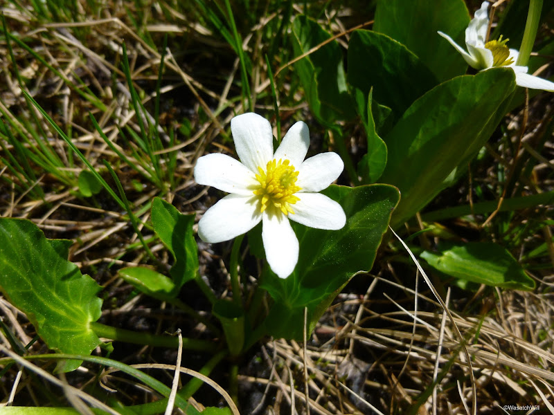
A variety of flowers were abundant all throughout the area and all along our route.
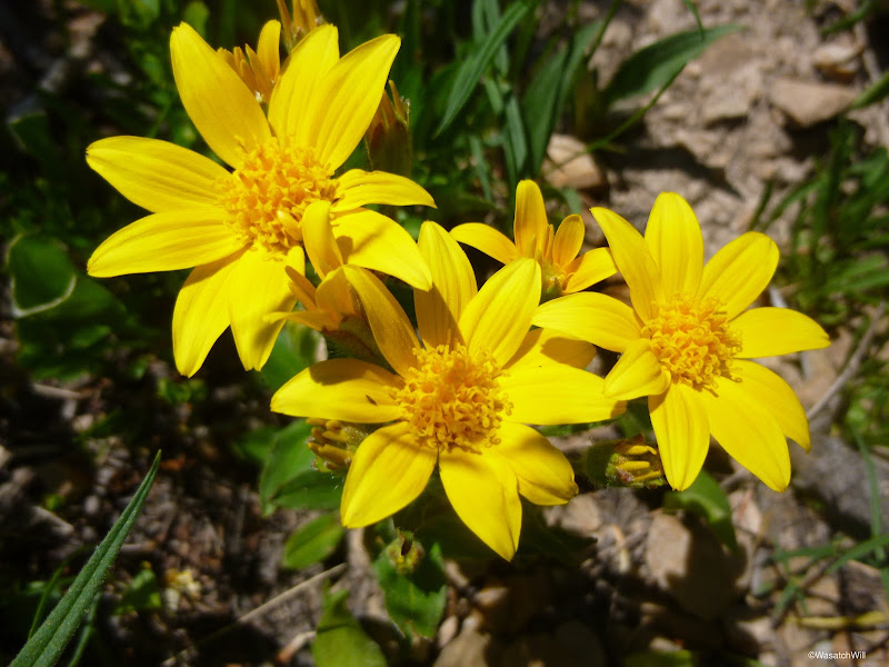
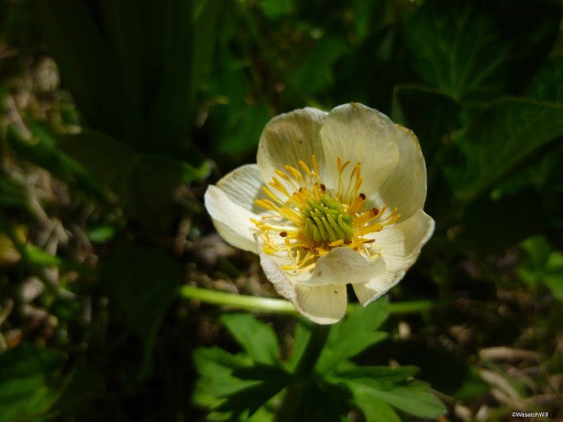
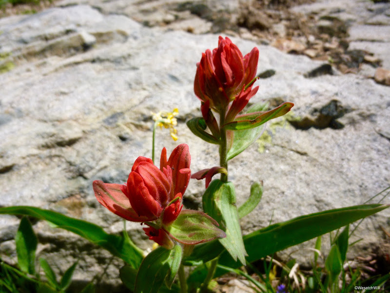
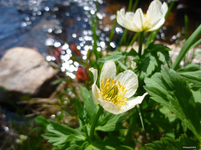
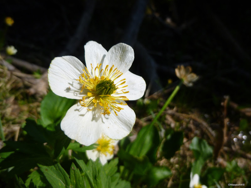
We returned to our packs and said farewell to Clyde Lake.
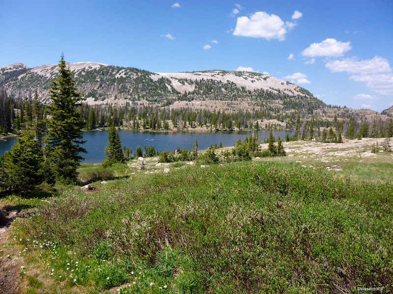
After about a half mile, we were descending a pretty steep stretch of trail with lots of loose rock to get down to Watson Lake, #13. There were then some boulders we had to step across. Ellory handled it all like a champ.
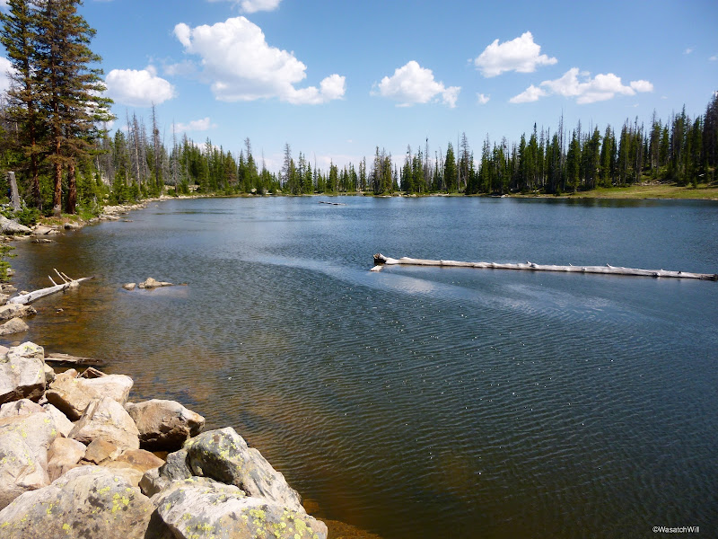
After Watson, we were on the lookout for what was supposed to be #14, Linear Lake. I went across a stream for a moment to scout out an area above a rise and saw another shallow marshy area but didn't think it could count for a lake, so back down to the trail I went. Ellory and I continued down till we reached another lake that we thought was Linear Lake and took a break. But as it turned out, when I got out the map again, the marshy area I had passed must have been Linear Lake because we were now sitting at Petite Lake, #15.
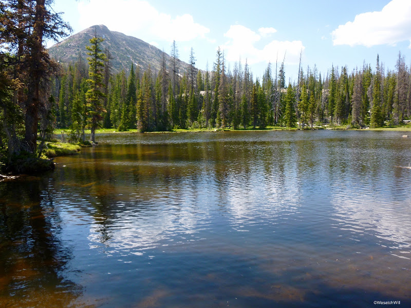
A stone's throw from Petite Lake and you're looking down upon Cliff Lake, #16. We had to hike down another bench to reach it.
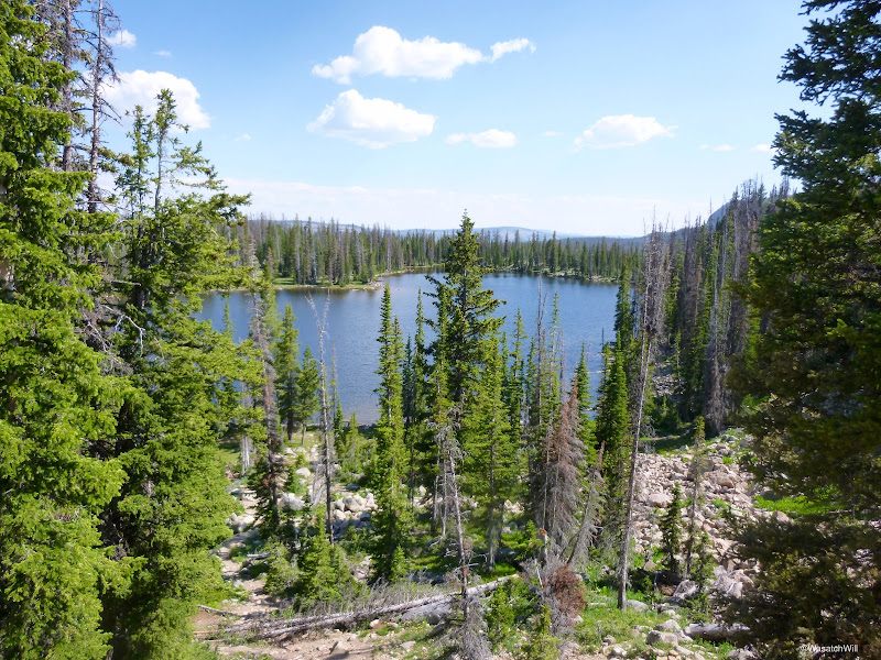
There is a prominent cliff rising above its western shoreline that obviously gives the lake its name.
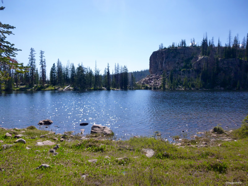
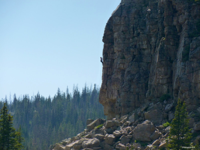
A climber was in process of conquering it.
We took one last look back across Cliff Lake and made our way down some more steep and loose trail to get back down to Lily Lakes. Ellory couldn't wait to be be finished and back at the car. She had been carrying her pack the whole way back from camp and was determined to finish it out, despite being exhausted with sore feet and ankles now. She had enough faith to believe me when I told her we were now only minutes away from arriving back at our car.
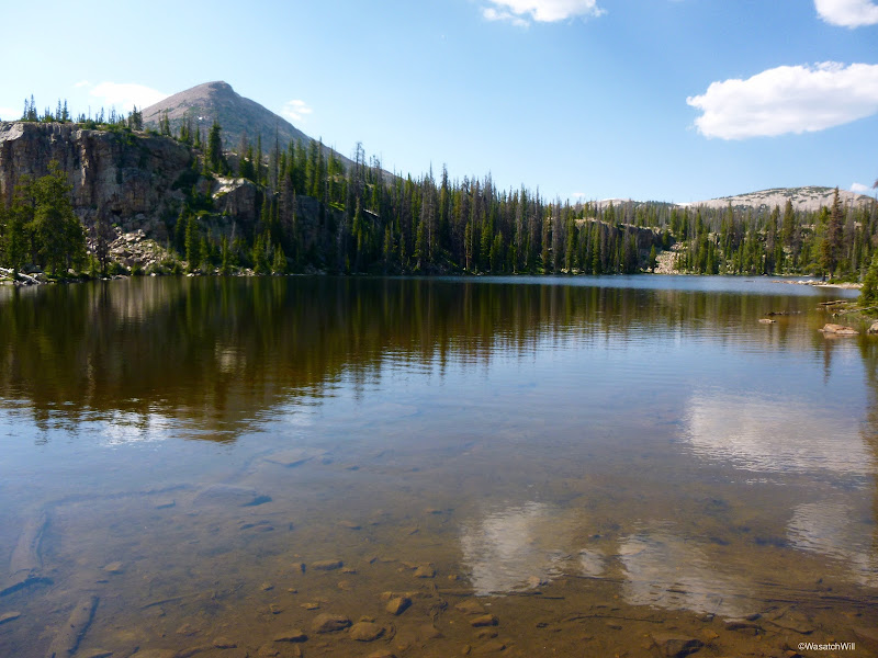
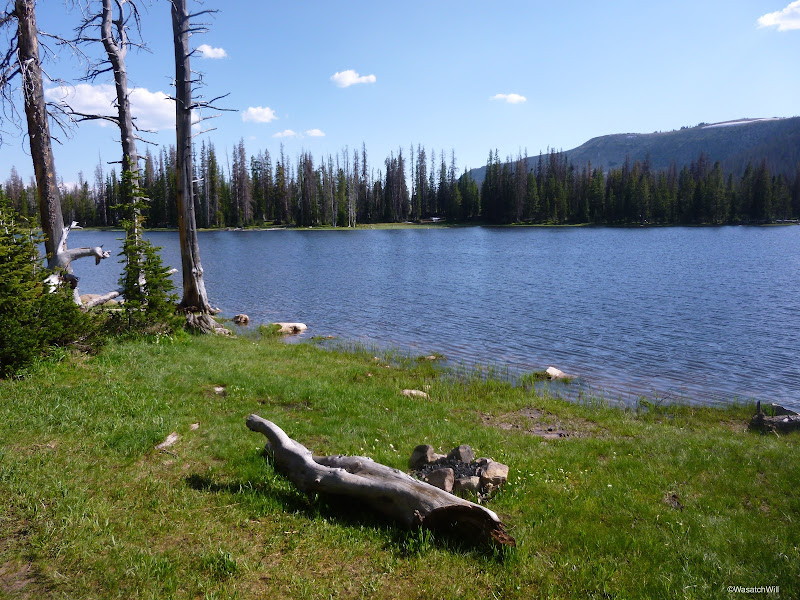
And soon enough, we were gazing out at lake #17, Crystal Lake.
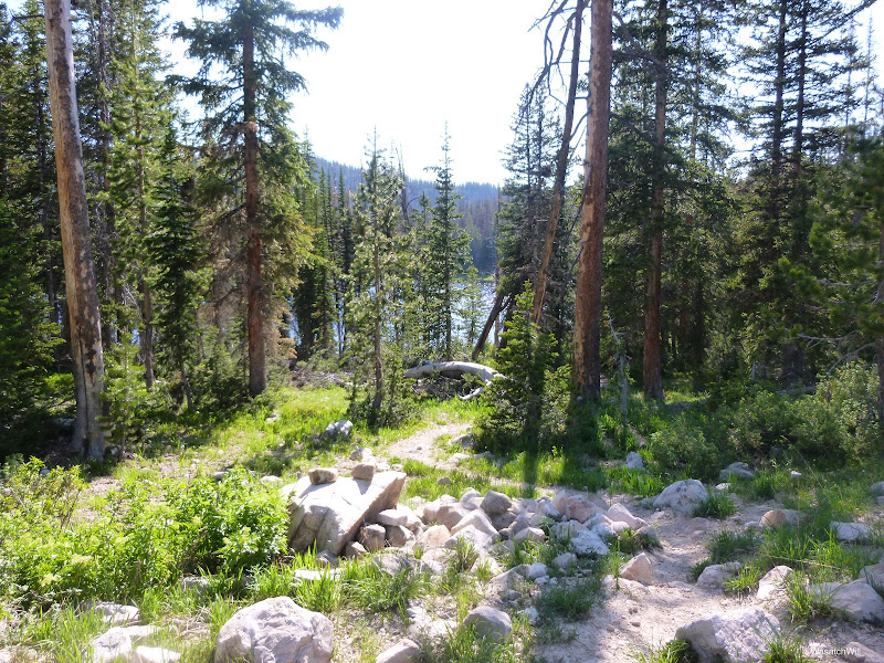
I dropped down the trees for a moment to capture a close up of Crystal, while Ellory got one last rest along side the trail.
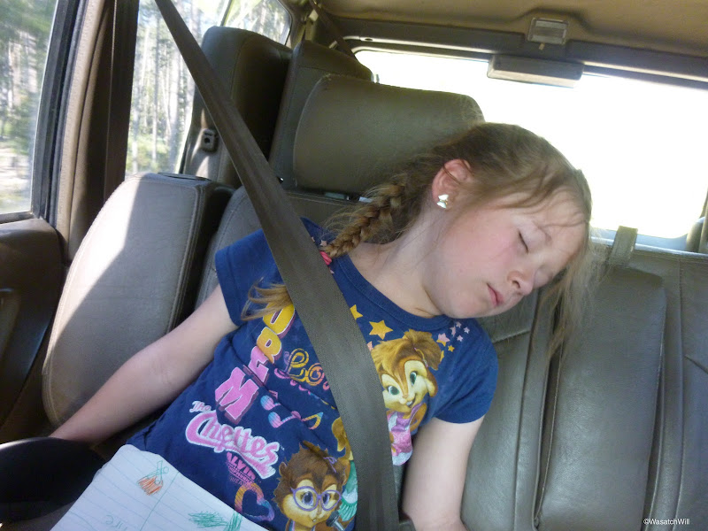
Finally, we were back at the car, where we eagerly took off our packs for the last time and drank down some ice cold apple juice. On the way down the highway, it didn't take long for her exhaustion to come to a full circle.
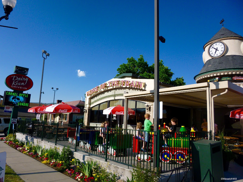
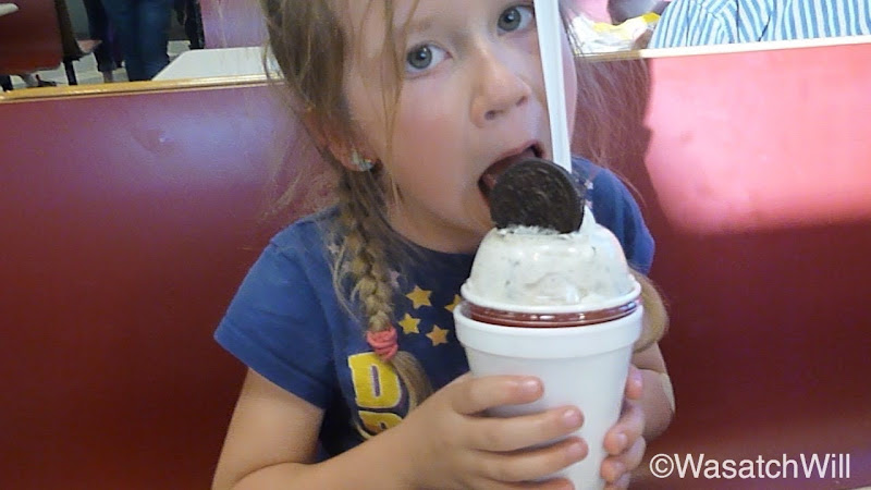
We concluded the trip with celebratory milkshakes and dinner at Heber City's popular Dairy Keen.
Route:
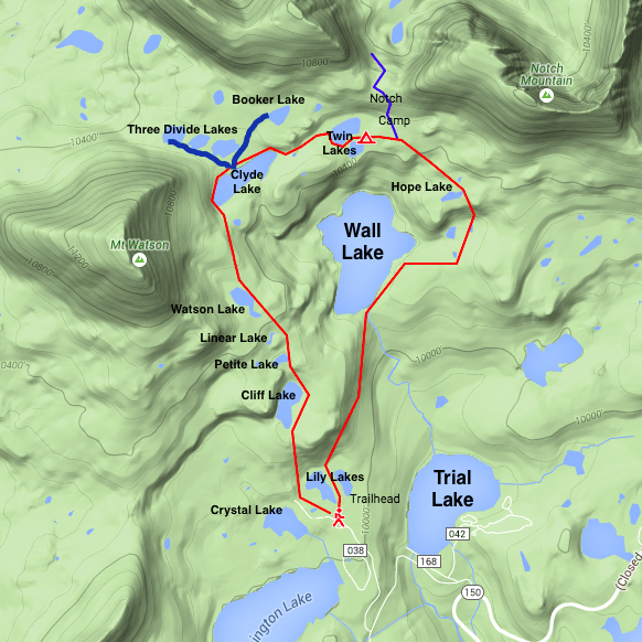
Trailhead: Crystal Lake
Trip Stats:
Distance Hiked: 5 miles
Elevation Low: 10,024 feet
Elevation High: 10,610 feet
Final Thought:
Despite being disappointed about not catching any fish, it was a fantastic hike with some beautiful scenery. We felt fortunate to have some solitude where we were camped, given all the scouts and others camped not far away. Nobody came down to our lake while we were there, but a couple groups of day hikers did go around the upper lake earlier in the morning. We also saw an older couple coming down off the Notch as we got to the top of it, and saw a few other groups of hikers and fishers around Clyde Lake. Between Watson Lake and Cliff Lake we encountered a couple parties of backpackers, on on their way up and the other on their way down. We were also very happy to have done the loop in the direction we did. It would have been quite another challenge for Ellory and I alike to have gone the opposite way.
The whole area definitely sees a lot of use between day hikers, backpackers (including scouts), fishermen, horse riders, and so on, especially around the lakes containing fish, which were at last half of the 17. Once again, I found myself surprised to see how many were out and about mid-week. I don't know that we would have had as much success finding the quiet and peaceful campsite we did away from others had it been on a weekend. Still, it's a great area to do some family backpacking with kids and campsites are plenty. Get away from the fishable lakes though, and I'm sure it wouldn't be as hard to find a secluded campsite. Finding parking at the trailhead on a weekend would be a different matter.
Lastly, I really enjoyed the area around Clyde Lake. The lake itself looked inviting for a swim or a float on a sleeping pad. It also appeared to be full of fish. Mt Watson looked like a good peak to bag. I would definitely like to return there for another night or two, hopefully sometime mid-week again, when crowds should be a little less.
Video:
Featured image for home page:
Day 1
Tuesday - June 23, 2015
We arrived at the Crystal Lake Trailhead at about 5:30 pm. This trailhead may very well be the most popular and busiest trailhead in the Uintas. Being a Tuesday, there were still dozens of cars, including a scout troop of 20+ scouts and leaders gearing up for an overnighter themselves. One can only imagine how many more cars are typically there on a weekend. This area receives a lot of use from day-hikers and backpackers alike. All we could do was hope that the scouts would be stopping their journey at Wall Lake, far enough away from where we were hoping to capture a bit of peace and tranquility: Twin Lakes.
The "Seventeen Lakes Loop" begins and ends at Crystal Lake Trailhead. It is a 4.5 mile route that takes you right past 17 different lakes of various sizes, most visible from the trail with a few that you must go up to a quarter mile off trail to see. If you're willing to go even further off trail in a couple spots, you could tally up 20 lakes or more. Most people will take the easier and more gradual way up by taking the Notch Mountain Trail up and around Wall Lake before getting off near Twin Lakes and looping over to Clyde Lake and returning to the trailhead via Cliff Lake. We followed suit.
We were on our way up the trail by 6 pm.

Lakes #1 and #2 are visible immediately upon beginning the hike. The trail goes right between two little lakes called Lily Lakes. I thought I took pics of both, but it looks like I only snapped a shot of the lake on the eastern side of the trail.

It wasn't long before Ellory was ready for a break. Luckily, Wall Lake is only about a mile up. When we saw the bridge and small waterfall dropping out of the small dam, we knew we were about there. It was pretty neat to think that this was essentially the headwaters for the Provo River, a river that runs all the way out to our city for which it is named, Provo, where it comes to an end at Utah Lake.

Wall Lake was lake #3 for us. I had applied some repellant on Ellory, but she was still getting bothered by mosquitos, so we took out her jacket and a bug net to give her some extra protection.


We he had arrived at Wall Lake, I breathed a sigh of relief to find that the big scout troop from back at the trailhead were setting up for the night up above the southern shore. As we rounded the eastern side of the lake there was yet another huge troop of 20 to 30 scouts all camped out and dining on dinner just above the eastern shore. I was happy we were seeking a spot not much farther but still further up, above, out of sight, and hopefully out of shouting range.
Only minutes after leaving the edges of Wall Lake, we got to what I believe counts as lake #4. I was only carrying a National Geographic Trail Illustrated map on me and it seemed to indicate this lake to be Hope Lake. However, USGS shows that Hope Lake is actually the next lake we would pass by. If that was the case, then this would be the one lake with no name.

After rounding lake #4, the trail took us along side of a some stair stepper cliff and started to gain some elevation. Ellory saw the little cliff and sought to climb it rather than take the trail. I judged it to be safe enough and let her go. Up to the top she went.


Just over the cliff sits lake #5, and what is likely to be Hope Lake if going by the USGS map. I didn't take any pictures because I thought it looked more like a shallow marshy pond than it did a lake and didn't think to count it at the time we were passing by. There was another group camped out right by it though. I was starting to get worried now because just about every campsite we had passed by to this point was occupied. Twin Lakes would be next and all we could do was hope that there would be an empty and secluded spot waiting for us there. It would be dark soon and Ellory was eager to try some fishing before it got too late.
At last, we stumbled upon the turn-off for Twin Lakes and made our way over. The area was very peaceful and there was no sign of anyone else around. Awesome! There were a handful of nice sites in the area, and we opted for one by the lower lake but only a stones throw away from the upper lake and got set up as quickly as we could.

I did not know if there would be fish in these lakes, but as it turned out, the upper lake was alive and well with fish jumping all over the place. We used what little daylight we had left to throw out our lines in the upper lake and see if we could catch anything. We tried bottom floating Powerbait for Ellory and I threw out a fly. Nothing. But we were treated to a beautiful sunset.

With the daylight now gone and the fish having settled down, it was time for a fire, late dinner, s'mores, a card game of war, and some sleep.


Day 2
Wednesday - June 24, 2015
Morning came, and as always, I was eager to get out and explore around the campsite and see what wildlife might be active in the area.

Or maybe not...

Ellory was still deep asleep. I quietly left the safe confines of the tent and had a peak out into the lake.

There was this guy out enjoying a morning swim.

Yes, that's a beaver, but there was no sign of where his home might be. Once he got across the lake, he vanished.
I had been tempted to wake up Ellory so she could have a chance to see it too, but how could I?

So I just let her sleep on. She'd just have to see it in pictures and video. While she continued to sleep, I grabbed my pole and sought out a good spot to try and fish the lower lake we were camped near. That way I'd be within sight of our tent the whole time. I took up a spot near the inlet. Fish were hanging out all around there.

Unfortunately, I still couldn't get any good bites. I started out floating some flies across the surface, getting fish to track it all the way to shore every time but none would take it. I then tried a rooster tail and actually got a couple hits, but again, nothing would hold on. I then tried another fly, this time with a little salmon egg on it and just dangled it around the fish. I watched one hit it, but again, it instantly let go before I could react and I came up empty handed. Ellory awoke and came out to join me for a little while. We soon gave up.
After telling Ellory about the beaver, she wanted to explore around the other side of the lake to see if we could find it again. We did that but no beaver or lodging in sight.
We returned to camp, had a very late breakfast, cleaned up and packed our packs. We then left the packs to make a short little hike up to the Notch. The Notch is a pass that actually looks like a notch carved out of a mountain called Notch Mountain. It had been over 15 years since I last hiked the Notch, when I was with a friend back in high school. I remembered that there were some nice views.
Moments later, we were standing up on the Notch and looking down the other side at Lovenia Lake.

It was tempting to continue the hike down and over to Ibantik Lake but time was not on our side and we didn't want to have to hike back up and over to get back to our camp, so we just hung out for a little bit and enjoyed the views back south toward our camp and the network of lakes we'd be hiking back down and around that afternoon.


After a good break, it was time to return to camp. We had another rest with some snacks while playing keep away from the resident chipmunk.

It was now time to say good bye to Twin Lakes, lakes 6 and 7.

On our way out and over to Clyde Lake, we came across this place. We couldn't decide whether to call it "Hall of Cairns" or "Rock Tower Plaza".


A few hundred feet later, we were at the shores of Clyde Lake, lake #8. It was much bigger looking than I expected.


Once we got around to the western side of the lake and half-way down the shoreline, we took our packs off and made our way up into the Three Divide Lakes area.
We first went up and counted what I believe was Booker Lake as #9 for us. Edit: It's actually John Lake.

Then back to the first of the Three Divide Lakes for #10. Edit: This is Booker Lake.

Then #11.

And #12.

There was a nice a little meadow of miniature daisies that Ellory liked. It reminded her of her mom, who also likes daisies.

A variety of flowers were abundant all throughout the area and all along our route.


We returned to our packs and said farewell to Clyde Lake.

After about a half mile, we were descending a pretty steep stretch of trail with lots of loose rock to get down to Watson Lake, #13. There were then some boulders we had to step across. Ellory handled it all like a champ.

After Watson, we were on the lookout for what was supposed to be #14, Linear Lake. I went across a stream for a moment to scout out an area above a rise and saw another shallow marshy area but didn't think it could count for a lake, so back down to the trail I went. Ellory and I continued down till we reached another lake that we thought was Linear Lake and took a break. But as it turned out, when I got out the map again, the marshy area I had passed must have been Linear Lake because we were now sitting at Petite Lake, #15.

A stone's throw from Petite Lake and you're looking down upon Cliff Lake, #16. We had to hike down another bench to reach it.

There is a prominent cliff rising above its western shoreline that obviously gives the lake its name.

A climber was in process of conquering it.

We took one last look back across Cliff Lake and made our way down some more steep and loose trail to get back down to Lily Lakes. Ellory couldn't wait to be be finished and back at the car. She had been carrying her pack the whole way back from camp and was determined to finish it out, despite being exhausted with sore feet and ankles now. She had enough faith to believe me when I told her we were now only minutes away from arriving back at our car.

And soon enough, we were gazing out at lake #17, Crystal Lake.

I dropped down the trees for a moment to capture a close up of Crystal, while Ellory got one last rest along side the trail.

Finally, we were back at the car, where we eagerly took off our packs for the last time and drank down some ice cold apple juice. On the way down the highway, it didn't take long for her exhaustion to come to a full circle.

We concluded the trip with celebratory milkshakes and dinner at Heber City's popular Dairy Keen.


Route:

Trailhead: Crystal Lake
Trip Stats:
Distance Hiked: 5 miles
Elevation Low: 10,024 feet
Elevation High: 10,610 feet
Final Thought:
Despite being disappointed about not catching any fish, it was a fantastic hike with some beautiful scenery. We felt fortunate to have some solitude where we were camped, given all the scouts and others camped not far away. Nobody came down to our lake while we were there, but a couple groups of day hikers did go around the upper lake earlier in the morning. We also saw an older couple coming down off the Notch as we got to the top of it, and saw a few other groups of hikers and fishers around Clyde Lake. Between Watson Lake and Cliff Lake we encountered a couple parties of backpackers, on on their way up and the other on their way down. We were also very happy to have done the loop in the direction we did. It would have been quite another challenge for Ellory and I alike to have gone the opposite way.
The whole area definitely sees a lot of use between day hikers, backpackers (including scouts), fishermen, horse riders, and so on, especially around the lakes containing fish, which were at last half of the 17. Once again, I found myself surprised to see how many were out and about mid-week. I don't know that we would have had as much success finding the quiet and peaceful campsite we did away from others had it been on a weekend. Still, it's a great area to do some family backpacking with kids and campsites are plenty. Get away from the fishable lakes though, and I'm sure it wouldn't be as hard to find a secluded campsite. Finding parking at the trailhead on a weekend would be a different matter.
Lastly, I really enjoyed the area around Clyde Lake. The lake itself looked inviting for a swim or a float on a sleeping pad. It also appeared to be full of fish. Mt Watson looked like a good peak to bag. I would definitely like to return there for another night or two, hopefully sometime mid-week again, when crowds should be a little less.
Video:
Featured image for home page:

Last edited:

