- Joined
- Aug 21, 2018
- Messages
- 674
A quick search of BCP finds very little mention of Cuyahoga Valley National Park; probably because it holds very little backcountry. 
I took my training hike to the road today for a change of scenery and to up my mileage. @scatman is planning to test my mental and physical abilities in a couple of months so I'm doing my best to be prepared. . . at least on the physical side.
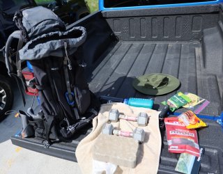
I already read Hugh's report on Lookout Mountain. He has me beat on mileage and elevation gain, but where I have him licked is in the category of amount of weight carried. I loaded my pack up with a couple of dumbbells, a paver brick, and an assortment of snacks/water for the day. I doubt he carried enough cameras and co-jack cheese to be close to the 45lbs. I weighed in at using the crude bathroom scale method of measurement.
CVNP follows the Cuyahoga River between Cleveland and Akron. It is a unique mix of nature, development, and history. I will not get into all that; I'll just post some pictures of what we saw today.
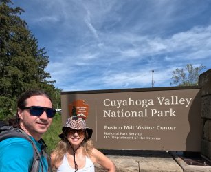
By "we" I mean Mrs. TractorDoc and myself. She joined me today because I promised her there would be ice cream available at some point mid-hike. Our pic at the big sign -- the only one you will get of either of us today.
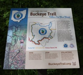
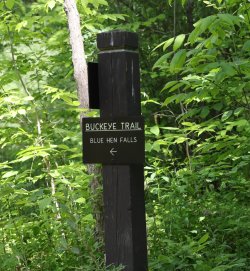
Our parking spot was at the village of Boston. For the first part of our hike we took a three mile out and back trip to Blue Hen Falls. The trail to Blue Hen Falls follows part of the Buckeye Trail.
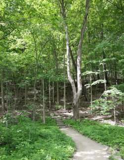
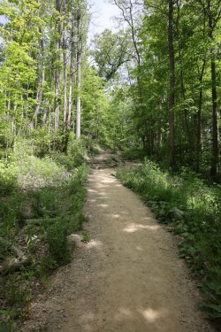
The trail ascends and descends some hilly terrain on the way to the falls.
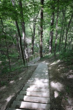
I thought the walk to the falls was going to be a warmup, but all the stairs and hills had my legs thinking otherwise.
Does the NPS use the same font on all its signs? Maybe I'm just imagining things.
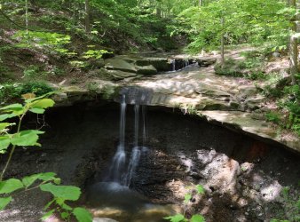
It has been dry the last week or two, so the water volume was down a bit. Still pretty though.
Why Blue Hen Falls? Google says supposedly a farmer saw the carcass of a blue chicken at the bottom of the falls back in the day. Paints a pleasant picture, doesn't it?
I did not see any chickens hanging out around the falls today, but there were a number of park visitors down there.
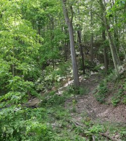
A picture of some of the stairs on the way back with people on them for scale. I know stairs will not be available in the wilderness; I just had to imagine that they were evenly spaced rocks.
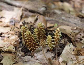
An interesting ground organism growing up from the forest floor. A fungus perhaps?
My intention was to continue on the Buckeye trail once we returned from the falls, but the park service had the trail closed for repairs/improvements/etc. By default we took the Canal Towpath Trail two and a half miles South to the village of Peninsula (where ice cream would be waiting).
The towpath trail follows the Ohio and Erie canal -- it is almost like a rails to trails situation except this time the path is where the mules used to walk while pulling the canal boats. I wonder if any of @Rockskipper 's mule's ancestors walked here in the 1800s?
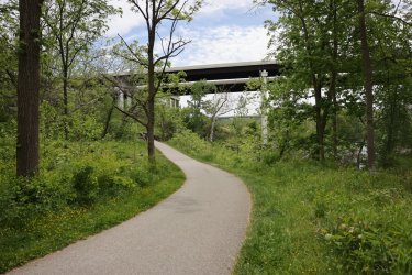
A picture of nature, development, and history as the towpath trail heads South.
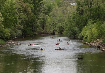
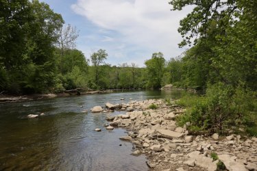
The trail follows the Cuyahoga River and provides nice views of the water.
Some kayakers were enjoying themselves today.
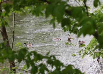
As were some geese.
Remnant of the canal on the left, towpath trail on the right.
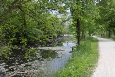
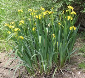
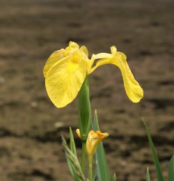
Dame's Rocket was blooming in a lot of places. There was also a lot of yellow iris flowers.
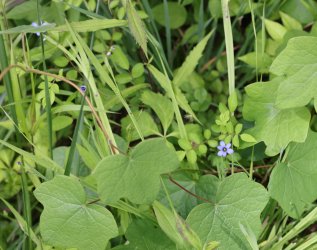
Small, blue flower. I'm not as good at naming them as others are on the forum.
Many places along the trail allow you to drop down to the river. Supposedly "Cuyahoga" means "crooked river."
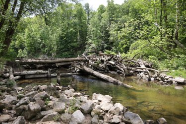
Small logjam. Some parts look to be purpose built.
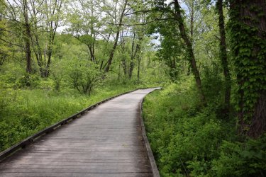
Boardwalks keep you out of the boggy areas.
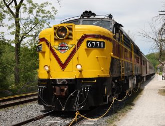
We arrived at Peninsula just in time to see the Cuyahoga Valley Scenic Railroad train depart the station. The railroad follows the river and towpath trail. If you schedule things right you can hike or bike a distance down the towpath trail then catch a train ride back to where you started. This was not an option for us today because erosion near the railroad tracks is preventing the train from travelling any further North than Peninsula.
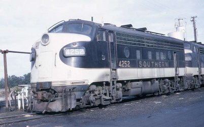
I do like trains -- especially vintage ones, so I had to watch this ALCO FPA-14 cab unit as it pulled away. Mrs. TractorDoc was off looking for ice cream.
She found it! I had the coffee chocolate chunk in case you were curious.
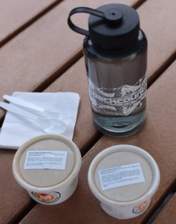
After a much enjoyed ice cream break we walked the towpath trail back to Boston.
More fungus was a hi-light on the return trip.
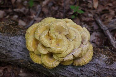
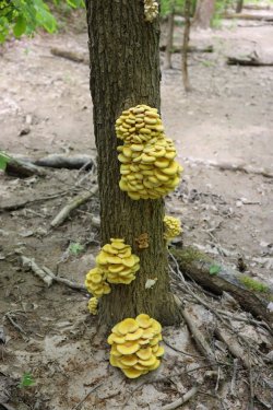
Reminds me of doughnuts for some reason. . . or bagels.
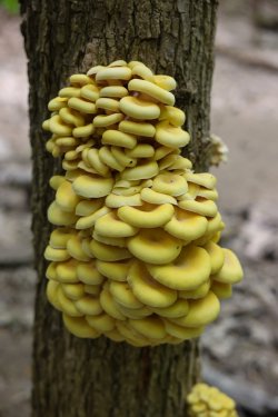
On the boardwalk again. This area was flooded in the canal days -- almost like a small lake.
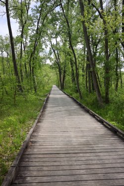
The stagnant canal treated us to a little wildlife on the way back.
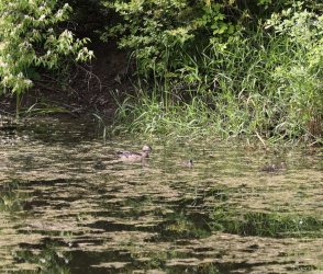
Ducks.
And turtles.
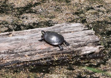
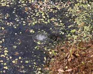
This one was just a baby. Note the duckweed around him/her.
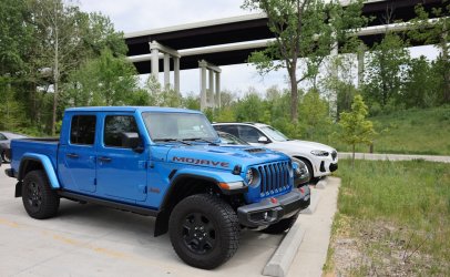
Back at the trailhead the Gladiator waits for us.
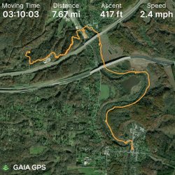
A snapshot from the GAIA GPS app. The 7.67 miles does not account for the times/distances missed when I forgot to resume recording after pausing.
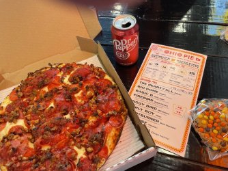
I thought the day deserved more than just ice cream, so on the way home we stopped at Ohio Pie for pizza. I believe I ordered something called the "Burly Boy."
Today was a step in the right direction when it comes to getting ready for a trip down the Thorofare; I'll probably plan on several more training hikes back to the park when I get bored of walking around the farm. Till then. . .
The End!
I took my training hike to the road today for a change of scenery and to up my mileage. @scatman is planning to test my mental and physical abilities in a couple of months so I'm doing my best to be prepared. . . at least on the physical side.
I already read Hugh's report on Lookout Mountain. He has me beat on mileage and elevation gain, but where I have him licked is in the category of amount of weight carried. I loaded my pack up with a couple of dumbbells, a paver brick, and an assortment of snacks/water for the day. I doubt he carried enough cameras and co-jack cheese to be close to the 45lbs. I weighed in at using the crude bathroom scale method of measurement.

CVNP follows the Cuyahoga River between Cleveland and Akron. It is a unique mix of nature, development, and history. I will not get into all that; I'll just post some pictures of what we saw today.
By "we" I mean Mrs. TractorDoc and myself. She joined me today because I promised her there would be ice cream available at some point mid-hike. Our pic at the big sign -- the only one you will get of either of us today.

Our parking spot was at the village of Boston. For the first part of our hike we took a three mile out and back trip to Blue Hen Falls. The trail to Blue Hen Falls follows part of the Buckeye Trail.

The trail ascends and descends some hilly terrain on the way to the falls.

I thought the walk to the falls was going to be a warmup, but all the stairs and hills had my legs thinking otherwise.


Does the NPS use the same font on all its signs? Maybe I'm just imagining things.

It has been dry the last week or two, so the water volume was down a bit. Still pretty though.
Why Blue Hen Falls? Google says supposedly a farmer saw the carcass of a blue chicken at the bottom of the falls back in the day. Paints a pleasant picture, doesn't it?
I did not see any chickens hanging out around the falls today, but there were a number of park visitors down there.

A picture of some of the stairs on the way back with people on them for scale. I know stairs will not be available in the wilderness; I just had to imagine that they were evenly spaced rocks.

An interesting ground organism growing up from the forest floor. A fungus perhaps?

My intention was to continue on the Buckeye trail once we returned from the falls, but the park service had the trail closed for repairs/improvements/etc. By default we took the Canal Towpath Trail two and a half miles South to the village of Peninsula (where ice cream would be waiting).
The towpath trail follows the Ohio and Erie canal -- it is almost like a rails to trails situation except this time the path is where the mules used to walk while pulling the canal boats. I wonder if any of @Rockskipper 's mule's ancestors walked here in the 1800s?
A picture of nature, development, and history as the towpath trail heads South.

The trail follows the Cuyahoga River and provides nice views of the water.
Some kayakers were enjoying themselves today.

As were some geese.

Remnant of the canal on the left, towpath trail on the right.

Dame's Rocket was blooming in a lot of places. There was also a lot of yellow iris flowers.


Small, blue flower. I'm not as good at naming them as others are on the forum.

Many places along the trail allow you to drop down to the river. Supposedly "Cuyahoga" means "crooked river."

Small logjam. Some parts look to be purpose built.

Boardwalks keep you out of the boggy areas.

We arrived at Peninsula just in time to see the Cuyahoga Valley Scenic Railroad train depart the station. The railroad follows the river and towpath trail. If you schedule things right you can hike or bike a distance down the towpath trail then catch a train ride back to where you started. This was not an option for us today because erosion near the railroad tracks is preventing the train from travelling any further North than Peninsula.
I do like trains -- especially vintage ones, so I had to watch this ALCO FPA-14 cab unit as it pulled away. Mrs. TractorDoc was off looking for ice cream.

She found it! I had the coffee chocolate chunk in case you were curious.

After a much enjoyed ice cream break we walked the towpath trail back to Boston.
More fungus was a hi-light on the return trip.


Reminds me of doughnuts for some reason. . . or bagels.

On the boardwalk again. This area was flooded in the canal days -- almost like a small lake.

The stagnant canal treated us to a little wildlife on the way back.
Ducks.

And turtles.

This one was just a baby. Note the duckweed around him/her.

Back at the trailhead the Gladiator waits for us.

A snapshot from the GAIA GPS app. The 7.67 miles does not account for the times/distances missed when I forgot to resume recording after pausing.

I thought the day deserved more than just ice cream, so on the way home we stopped at Ohio Pie for pizza. I believe I ordered something called the "Burly Boy."

Today was a step in the right direction when it comes to getting ready for a trip down the Thorofare; I'll probably plan on several more training hikes back to the park when I get bored of walking around the farm. Till then. . .
The End!

