RyanP
Member
- Joined
- Mar 1, 2015
- Messages
- 783
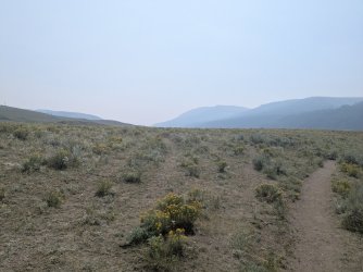
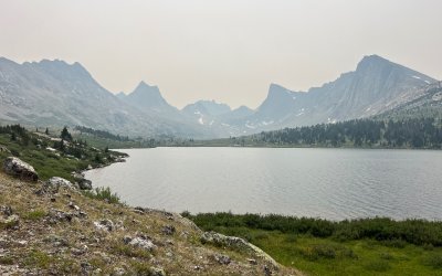
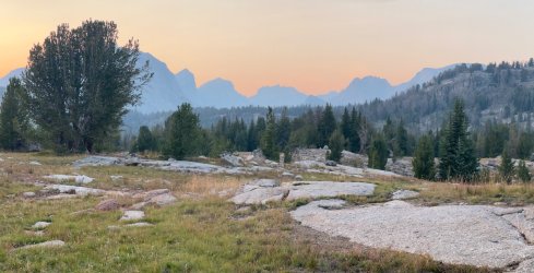
I've been planning to head to the Winds next week (starting this weekend) but am worried about the air quality. Does anyone have a feel for how smoky it is right now? I realize the conditions change daily depending on which direction the wind is blowing, but if it has been consistently smoky for the past week or two, then I'll bail to my Plan B in the San Juans (which hopefully will be more clear? If anyone has recent info for SW CO, I'm all ears as well). I'm fine if the long-distance views from the peaks/passes are hazy, but if I'm in a valley or at a lake, I want to see the mountains around it! (and I'd prefer to see some views from the passes as well)
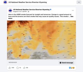
On a related note--what resources do you use to assess how smoky/hazy it will be in general? I mostly just view the smoke plumes on fire.airnow.gov, but I don't have a good feel for how useful that is in terms of predicting haze levels. If anyone else has any tips/tricks in that regard, please let me know! Do I need to join the appropriate facebook groups (uggh) or alltrails or such (ugggh again)? Do people find local/regional webcams? (sometimes those are poor enough quality that it's hard to tell) Surely I'm not the only one who is willing to change my destination to seek the better air quality...
On a related note--what resources do you use to assess how smoky/hazy it will be in general? I mostly just view the smoke plumes on fire.airnow.gov, but I don't have a good feel for how useful that is in terms of predicting haze levels. If anyone else has any tips/tricks in that regard, please let me know! Do I need to join the appropriate facebook groups (uggh) or alltrails or such (ugggh again)? Do people find local/regional webcams? (sometimes those are poor enough quality that it's hard to tell) Surely I'm not the only one who is willing to change my destination to seek the better air quality...