Ben
Member
- Joined
- Sep 12, 2014
- Messages
- 1,873
"Recreational use of the wilderness area has remained limited. Fewer than 100 people a year obtain overnight camping permits for the area."
I have a national parks pass that expires this month, so i thought that i should try to squeeze a little more use out of it. I started looking at Craters of the Moon, and when i found this information on the wilderness, i knew i wanted to backpack there. Fewer than 100 people, not just parties. That's practically no one.
The Wilderness Trail of Craters of the Moon travels four miles from the Tree Molds parking area at the end of the road to The Sentinel, one of the buttes/cones in the monument. Information on the Monument web site said that most backpackers camp at Echo Crater, three miles in. I had to work an event saturday until two, so i figured i'd pack the night before, leave as soon as i could, and we'd be able to start hiking around five. An easy three miles in to camp before dark, then finish the trail the next day with out packs, head out, and see some of the areas closer to the road before we left. Seemed like a great plan. Short week end trip with the girl friend.
You're supposed to pick up a permit from the visitor center, but they close at 430. I wasn't going to make that, so i called to ask what my options were. They filled out a permit for me. They also told me that the road with in the monument was closed a short ways beyond the camp ground. This changed our three miles in to seven miles in. Oh well, we were committed now.
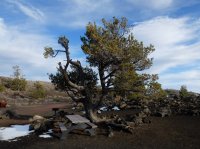
Trees like this at the camp ground. We showed up a little after five, and managed to be on the trail by 520.
Being on the road wasn't as bad as i'd imagined it could be. It has a whole different feel when you know that there is no chance of there being a car on it. There weren't any people around either. There were more cars than i expected at the parking area near the gate, but we passed two large groups after about ten minutes from leaving our car, and those were the only people we saw until we got back to it the next day. Which was fantastic.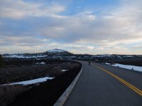
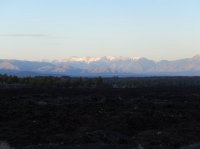
We had views of the Pioneer Mountains beyond the lava to the north, and the Lost River Range farther away to the northeast. This picture is looking out to the Lost River Range.
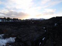
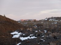
Losing the sun behind the foot hills. At this point we were finally on the actual trail. The four road miles went very quickly, but making it the last three before dark looked unlikely.
Crescent Butte with a glow on it.
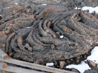
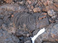
Some wrinkly lava flows.
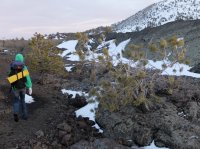
Brittinei and a couple pines.
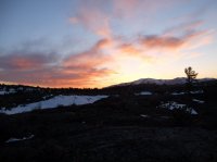
Sun set. We set up camp a little ways beyond here in between Big Cinder Butte and Half Cone on some nice cinders.
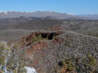
The next morning, and i mean late morning, Brittinei opted to sleep in, and i went to hike to the top of Big Cinder Butte, the tallest in the monument. It's 6500', a climb of about 700, and offers great views of the surrounding area. This is a crater on it's flank.
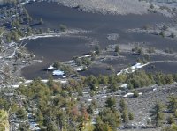
Looking down on the cinders where we'd camped. Brittinei is a tiny green dot next to a tent colored smudge sticking out from behind a pine. I can see her looking for me. She hears me yell to her, but can't find me.
At the top. These are the foot hills of the Pioneers.
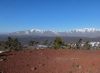
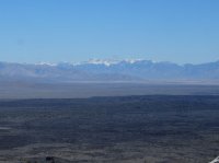
The Lost River Range a ways away.

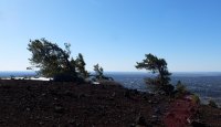
Wind shaped pines. It blows east. In an area known for how bad the wind can be, we were very fortunate on this trip. Most of the time it was dead calm for us. Occasionally on the top of some thing it would be windy.
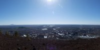
Looking south, the lava flows stretch dozens of miles this direction. You can see some of the buttes, with larger snow patches, extending along the great rift.
Crescent Butte to the east. Big Southern Butte on the left horizon, far in the distance.
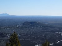
The Buttes to the south. Coyote Butte front and center, Echo Crater beyond it slightly right, The Watchman and The Sentinel next to each other beyond that, Fissure Butte top right beyond them. The horizon fades into no thing. Sheep Trail Butte barely peeks over the left edge of Fissure.
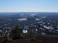
Looking at the craters to the north. These are all visited by the monument road, which you can see just left of center. Much less snow on the lava in this picture because every thing i can see faces south.
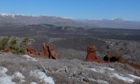
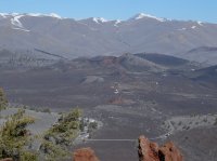
The view east. Cinders on the side of Half Cone.
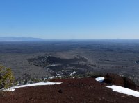
Back at the bottom i ate breakfast with Brittinei, and then we started out to see the rest of the trail.
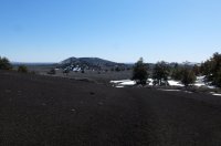

Lost River Range viewed between two of the buttes.
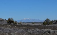
Some limber pines. In some places they grew relatively thick, in others quite sparse.
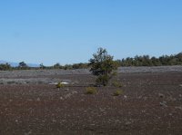
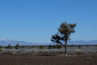
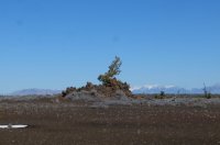
Trench Mortar Flat, Crescent Butte.

Looking back toward Big Cinder Butte, capped in dark dark red.
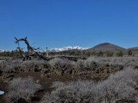
Suddenly the vegetation changed from brush to this grass. I'm inclined to believe due to fire based on the tree skeletons in the grassy area.
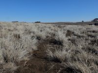
Here you can see the edge of a lava flow, where it's advance ended.

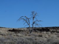
One of the dead trees in the area where there are no longer any trees. The grass i assume is the first to come back.
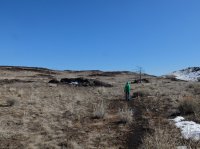
Brittinei in front of The Sentinel. We at some snacks, and then we'd come this far, so we went to the top of it.
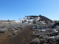
Looking back north on the way up. Big Cinder Butte on the left, must be Crescent on the right. I loved the way the cinders show up in patches amidst the vegetation. I imagine that it's due to wind blowing soil of appropriately faced topography. Also, you can see light colored grass area fringed by the sage colored areas dominated by brush.
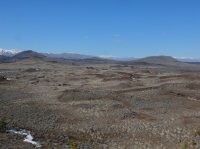
Zoomed in on Big Cinder Butte, with Echo Crater in front of it.
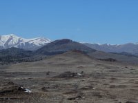
Here you can clearly see the line between the grass area and the brush area. And also the hills.
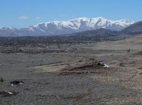
Again, the lines between vegetation covers. Looking north.
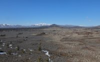
The Watchman, just to the side of The Sentinel.
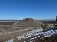
Brittinei waited here while i went out to the very end of The Sentinel. The Sentinel and The Watchman both are not that tall really, but every thing around is so flat that you can see for miles.
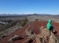
Big Southern Butte in the distance to the east. It is about 7500', and probably has quite a view. The smaller bump on the left is probably Middle Butte.
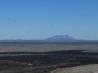
On top of The Sentinel.
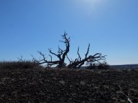
Looking south, Fissure Butte right in the center. Split Butte to the left of it barely rises above it's surroundings.

Looking back.

The Watchman again.
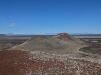
The black rock running across the view here extends from The Watchman and is part of the Little Prairie Aa Flow.
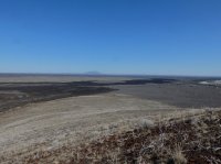
A good view of Echo Crater and Big Cinder Butte beyond it.
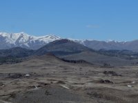
Brittinei the green dot back along the ridge of The Sentinel.
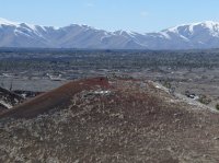
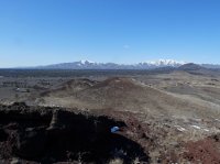
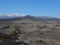
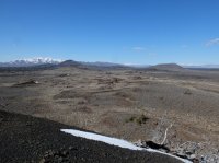
We made our way down and started walking back. We decided on the return we'd detour off trail to see Echo Crater.
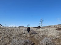
Echo Crater. People camp here, looks like the place to do it.


Back at our site. It was pleasant. We made an other chicken noodle soup before the hike back to the car.
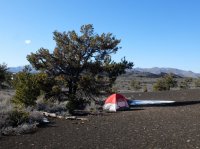
Part of the trail near the road is marked by these posts. On the way back they have the small arrows cut in to them. Coming out there was no marking on the other side, you just had to look for the next post.
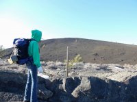
Big Cinder Butte from the north side, near the road.
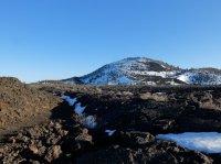
Pioneer Mountains across the lava.
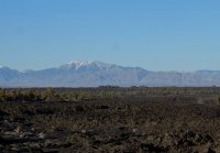
On the way back we cut one of the curves of the road on this trail.
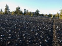
Our eight mile out and back turned out to be more like seventeen, which is more than usual for Brittinei. We were only out for about twenty five hours, and didn't see any other portions of the park due to the road closure. But i actually loved this place more than i expected to, even though it was different from what i expected. I expected more lava, more right next to me, but i suppose that's not where they put the trail. I keep thinking about going back to do some thing longer.
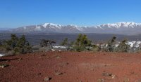
Featured image for home page:
I have a national parks pass that expires this month, so i thought that i should try to squeeze a little more use out of it. I started looking at Craters of the Moon, and when i found this information on the wilderness, i knew i wanted to backpack there. Fewer than 100 people, not just parties. That's practically no one.
The Wilderness Trail of Craters of the Moon travels four miles from the Tree Molds parking area at the end of the road to The Sentinel, one of the buttes/cones in the monument. Information on the Monument web site said that most backpackers camp at Echo Crater, three miles in. I had to work an event saturday until two, so i figured i'd pack the night before, leave as soon as i could, and we'd be able to start hiking around five. An easy three miles in to camp before dark, then finish the trail the next day with out packs, head out, and see some of the areas closer to the road before we left. Seemed like a great plan. Short week end trip with the girl friend.
You're supposed to pick up a permit from the visitor center, but they close at 430. I wasn't going to make that, so i called to ask what my options were. They filled out a permit for me. They also told me that the road with in the monument was closed a short ways beyond the camp ground. This changed our three miles in to seven miles in. Oh well, we were committed now.
Trees like this at the camp ground. We showed up a little after five, and managed to be on the trail by 520.

Being on the road wasn't as bad as i'd imagined it could be. It has a whole different feel when you know that there is no chance of there being a car on it. There weren't any people around either. There were more cars than i expected at the parking area near the gate, but we passed two large groups after about ten minutes from leaving our car, and those were the only people we saw until we got back to it the next day. Which was fantastic.

We had views of the Pioneer Mountains beyond the lava to the north, and the Lost River Range farther away to the northeast. This picture is looking out to the Lost River Range.

Losing the sun behind the foot hills. At this point we were finally on the actual trail. The four road miles went very quickly, but making it the last three before dark looked unlikely.

Crescent Butte with a glow on it.

Some wrinkly lava flows.


Brittinei and a couple pines.

Sun set. We set up camp a little ways beyond here in between Big Cinder Butte and Half Cone on some nice cinders.

The next morning, and i mean late morning, Brittinei opted to sleep in, and i went to hike to the top of Big Cinder Butte, the tallest in the monument. It's 6500', a climb of about 700, and offers great views of the surrounding area. This is a crater on it's flank.

Looking down on the cinders where we'd camped. Brittinei is a tiny green dot next to a tent colored smudge sticking out from behind a pine. I can see her looking for me. She hears me yell to her, but can't find me.

At the top. These are the foot hills of the Pioneers.

The Lost River Range a ways away.


Wind shaped pines. It blows east. In an area known for how bad the wind can be, we were very fortunate on this trip. Most of the time it was dead calm for us. Occasionally on the top of some thing it would be windy.

Looking south, the lava flows stretch dozens of miles this direction. You can see some of the buttes, with larger snow patches, extending along the great rift.

Crescent Butte to the east. Big Southern Butte on the left horizon, far in the distance.

The Buttes to the south. Coyote Butte front and center, Echo Crater beyond it slightly right, The Watchman and The Sentinel next to each other beyond that, Fissure Butte top right beyond them. The horizon fades into no thing. Sheep Trail Butte barely peeks over the left edge of Fissure.

Looking at the craters to the north. These are all visited by the monument road, which you can see just left of center. Much less snow on the lava in this picture because every thing i can see faces south.


The view east. Cinders on the side of Half Cone.

Back at the bottom i ate breakfast with Brittinei, and then we started out to see the rest of the trail.


Lost River Range viewed between two of the buttes.

Some limber pines. In some places they grew relatively thick, in others quite sparse.


Trench Mortar Flat, Crescent Butte.

Looking back toward Big Cinder Butte, capped in dark dark red.

Suddenly the vegetation changed from brush to this grass. I'm inclined to believe due to fire based on the tree skeletons in the grassy area.

Here you can see the edge of a lava flow, where it's advance ended.

One of the dead trees in the area where there are no longer any trees. The grass i assume is the first to come back.


Brittinei in front of The Sentinel. We at some snacks, and then we'd come this far, so we went to the top of it.

Looking back north on the way up. Big Cinder Butte on the left, must be Crescent on the right. I loved the way the cinders show up in patches amidst the vegetation. I imagine that it's due to wind blowing soil of appropriately faced topography. Also, you can see light colored grass area fringed by the sage colored areas dominated by brush.

Zoomed in on Big Cinder Butte, with Echo Crater in front of it.

Here you can clearly see the line between the grass area and the brush area. And also the hills.

Again, the lines between vegetation covers. Looking north.

The Watchman, just to the side of The Sentinel.

Brittinei waited here while i went out to the very end of The Sentinel. The Sentinel and The Watchman both are not that tall really, but every thing around is so flat that you can see for miles.

Big Southern Butte in the distance to the east. It is about 7500', and probably has quite a view. The smaller bump on the left is probably Middle Butte.

On top of The Sentinel.

Looking south, Fissure Butte right in the center. Split Butte to the left of it barely rises above it's surroundings.

Looking back.

The Watchman again.

The black rock running across the view here extends from The Watchman and is part of the Little Prairie Aa Flow.

A good view of Echo Crater and Big Cinder Butte beyond it.

Brittinei the green dot back along the ridge of The Sentinel.


We made our way down and started walking back. We decided on the return we'd detour off trail to see Echo Crater.

Echo Crater. People camp here, looks like the place to do it.


Back at our site. It was pleasant. We made an other chicken noodle soup before the hike back to the car.

Part of the trail near the road is marked by these posts. On the way back they have the small arrows cut in to them. Coming out there was no marking on the other side, you just had to look for the next post.

Big Cinder Butte from the north side, near the road.

Pioneer Mountains across the lava.

On the way back we cut one of the curves of the road on this trail.

Our eight mile out and back turned out to be more like seventeen, which is more than usual for Brittinei. We were only out for about twenty five hours, and didn't see any other portions of the park due to the road closure. But i actually loved this place more than i expected to, even though it was different from what i expected. I expected more lava, more right next to me, but i suppose that's not where they put the trail. I keep thinking about going back to do some thing longer.
Featured image for home page:

Last edited:
