futurafree
Member
- Joined
- Apr 1, 2021
- Messages
- 210
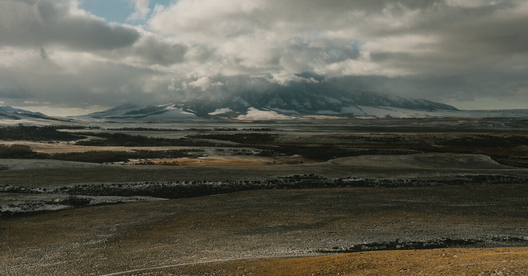
It’s Public Land. But the Public Can’t Reach It.
A navigation app that illuminates public land within privately held property has supercharged the question of who gets to go where.
Anyone have experience with these types of situations? And does anyone use the OnX app?
The article claims that US public lands landlocked by private ranches are equal to the area of several New England states combined. But I'm wondering if that just refers to these checkerboard patterns that mix public and private land. Does anyone know of large swaths of public lands that aren't checkerboards, but are completely cut off by private lands? That would be very interesting.