Kullaberg63
Member
- Joined
- Mar 6, 2014
- Messages
- 683
This was a few days ago, mid August 2017. The route on Caltopo is this, direction is counter clockwise:
Click here to view on CalTopo.
Highlights were climbing Feather, exploring West Pinnacle Creek and crossing Gemini Col.
We were a group of 5: my wife and son, one of his buddies, and our dog.
Snow levels right now are impressive in the Sierra. Many key passages involved crampons/micro spikes and axes. Mosquitoes could be managed at most camps - worst being the last directly in Pine Creek Pass.
We saw few mammals, but several red tails, possibly an osprey and definitely a bald eagle flying across Old Squaw lake. A golden eagle came close as we were sitting on Julius Caesar.
I will look thru our photos and find more, but these are some good ones to start out with, in no particular order:

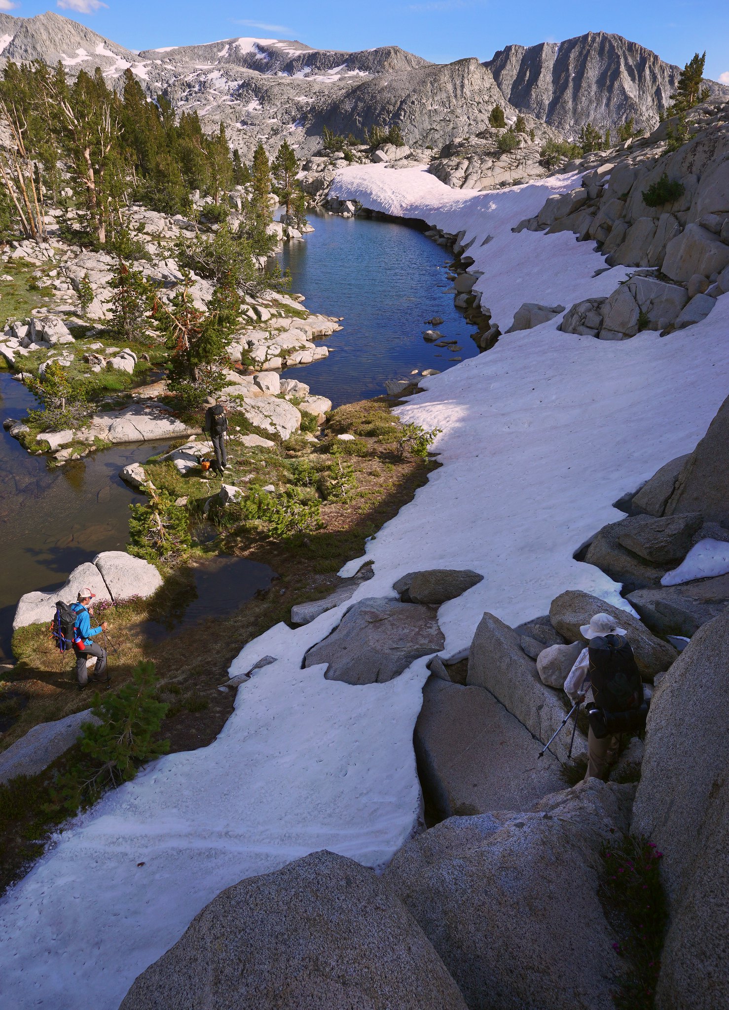
The creek below Seven Gables lakes took up a lot of space with all the run off. Here we are wading a big flooded area. Gemini is directly above the blue shirt guy, with the amazing Seven Gables complex on the right.
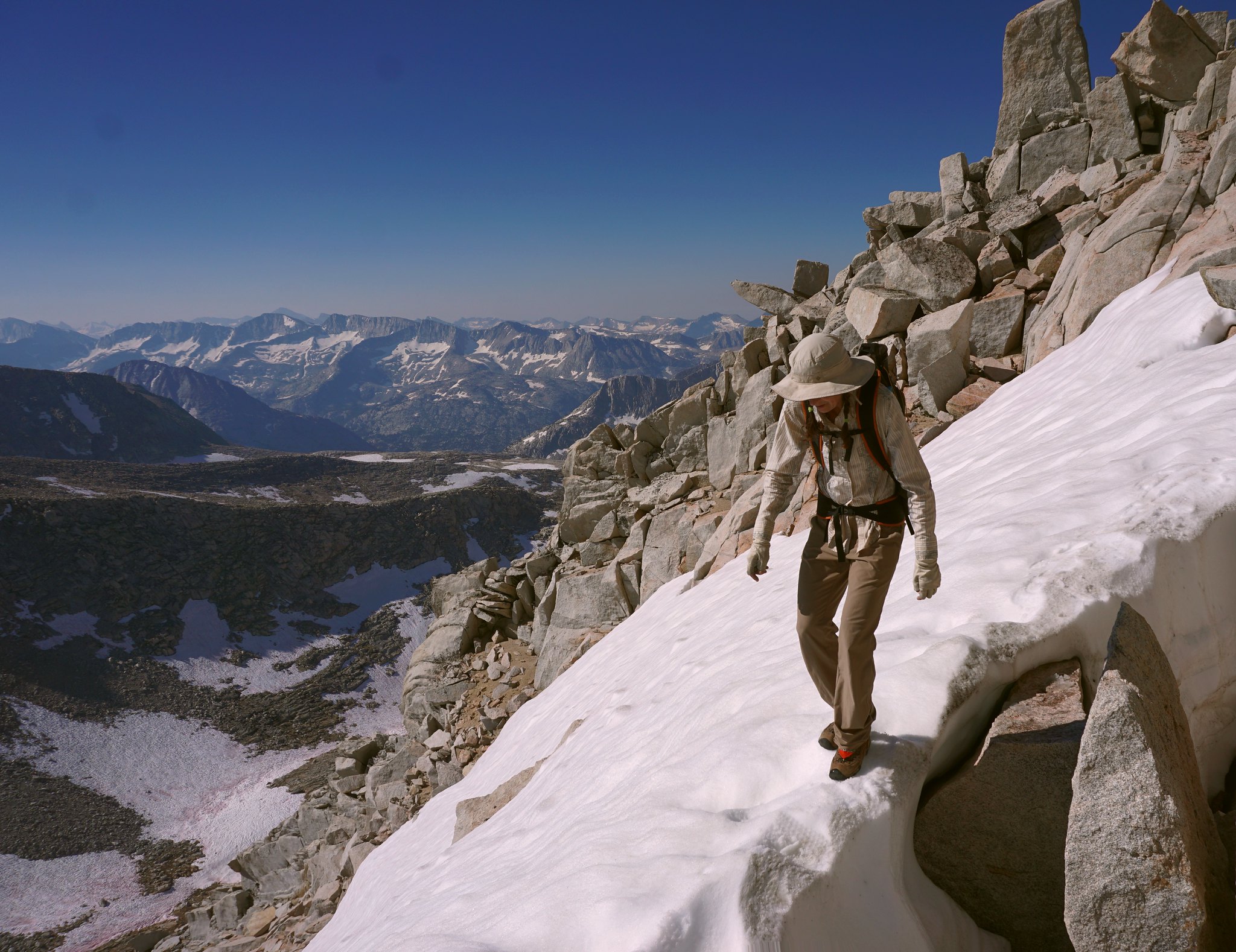
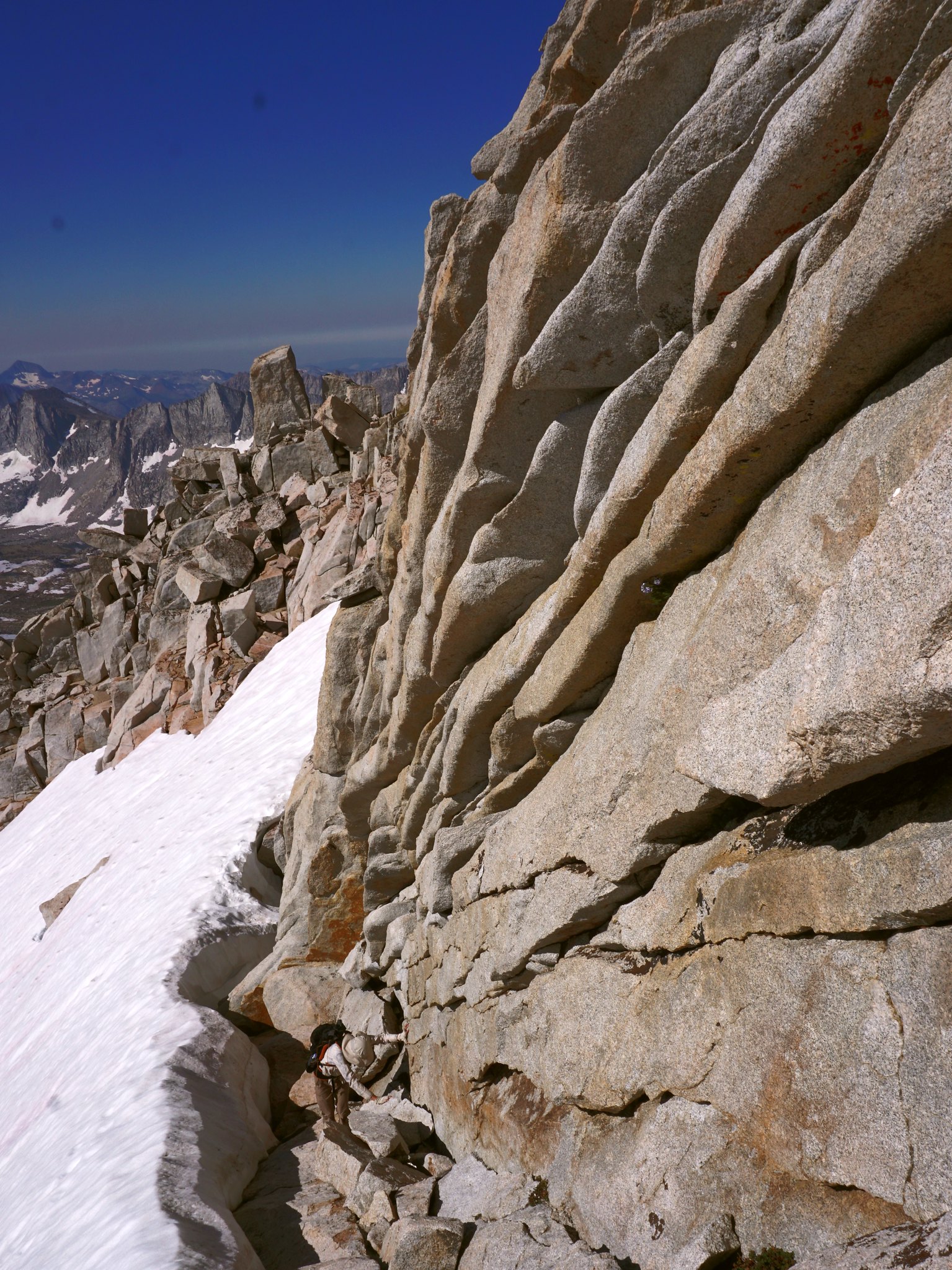
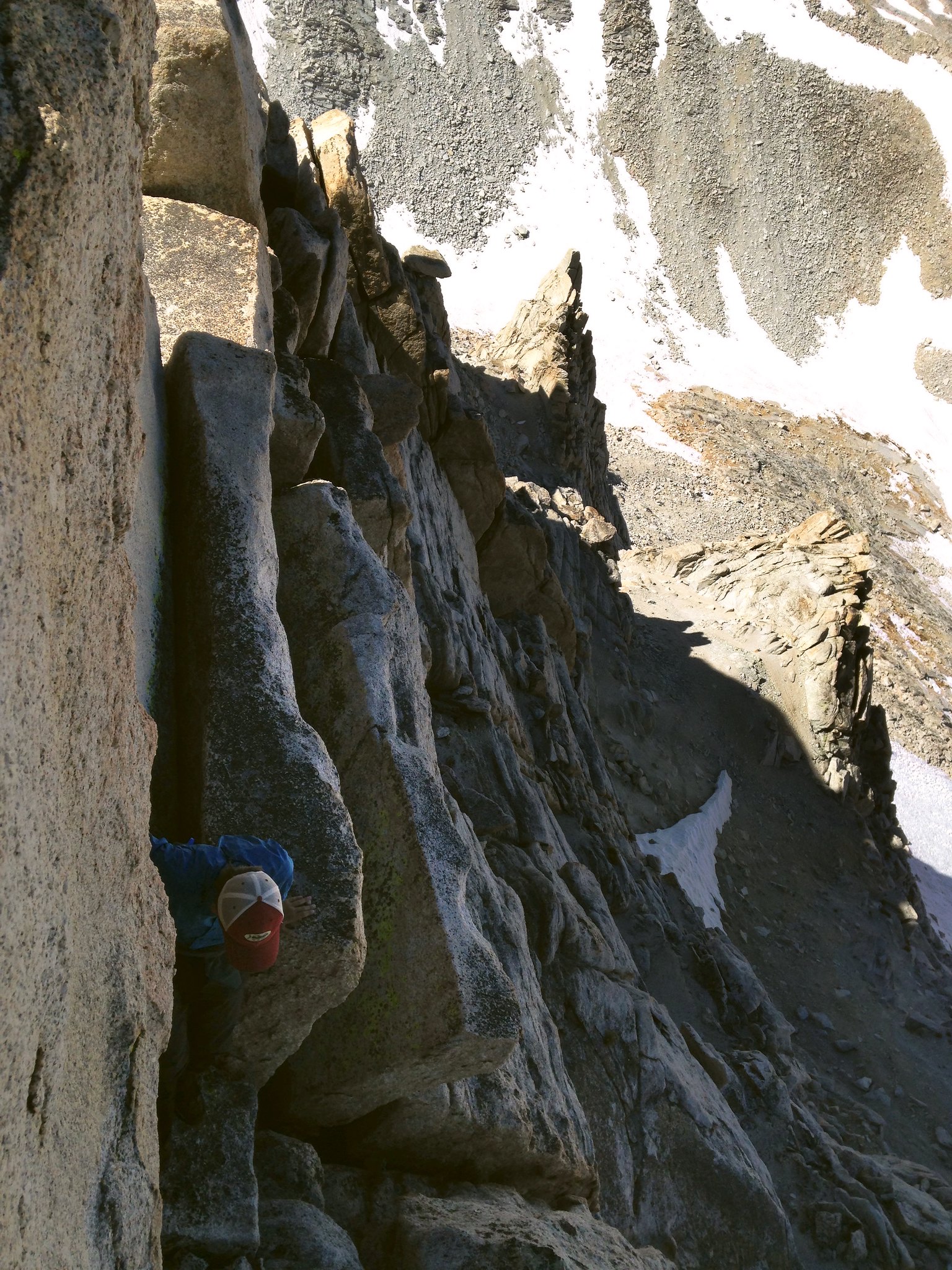
Near the top of Feather's south ridge, an exposed class 3 scramble on good rock. One or two passages required a steady hand and calm nerves. Mt. Tom, a familiar sight to anyone in Bishop, is the distant hulk on the center skyline.
Pemmican Lake in the remote Pinnacles area. The two strings of lakes surrounding the Pinnacles are quite difficult to access, had absolutely no sign of people and was long on the list of desolate basins I wanted to visit. They did not disappoint. Especially the west drainage is magic.
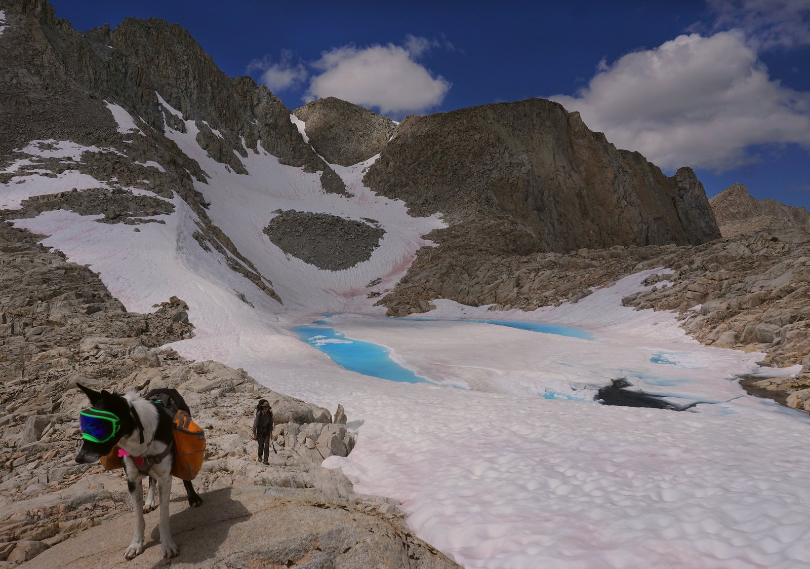
The lake below the south side of Gemini Col, at the top of East Pinnacle Creek.
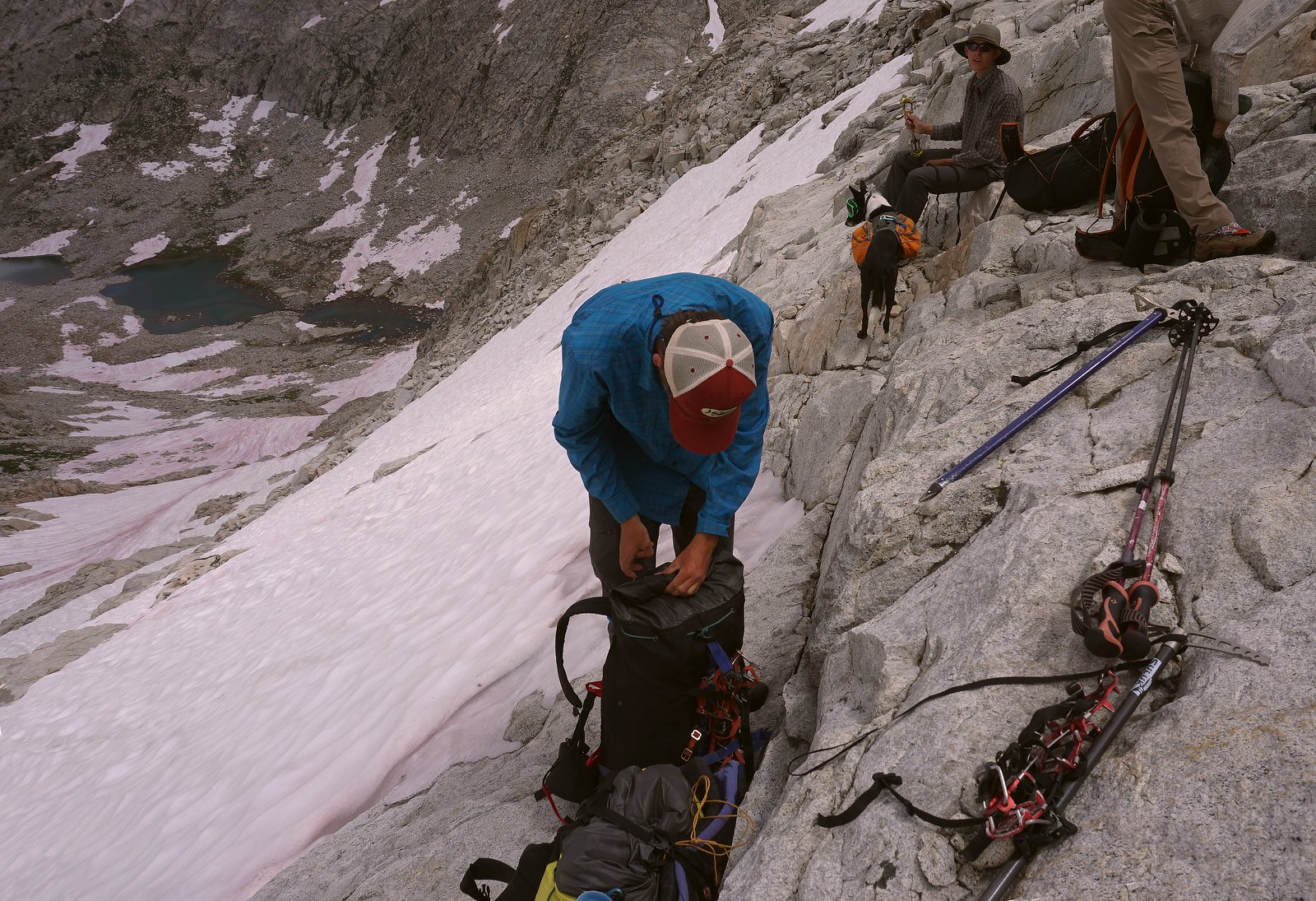
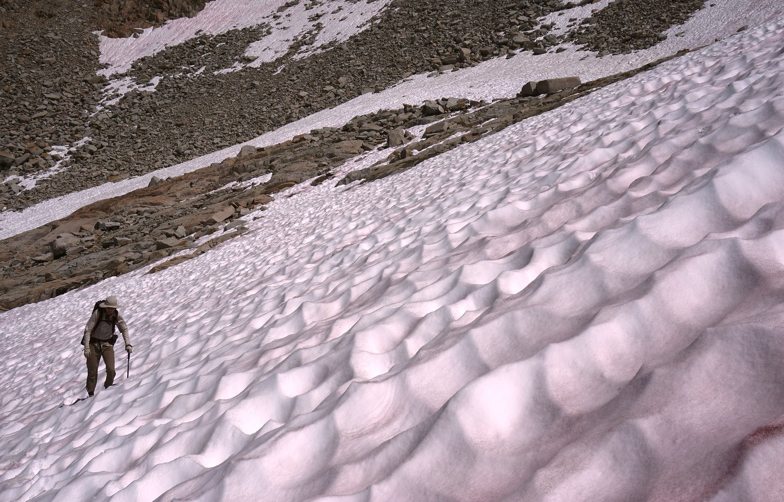
Preparing to descend mandatory steep snow down to Seven Gables lakes. A little scary.
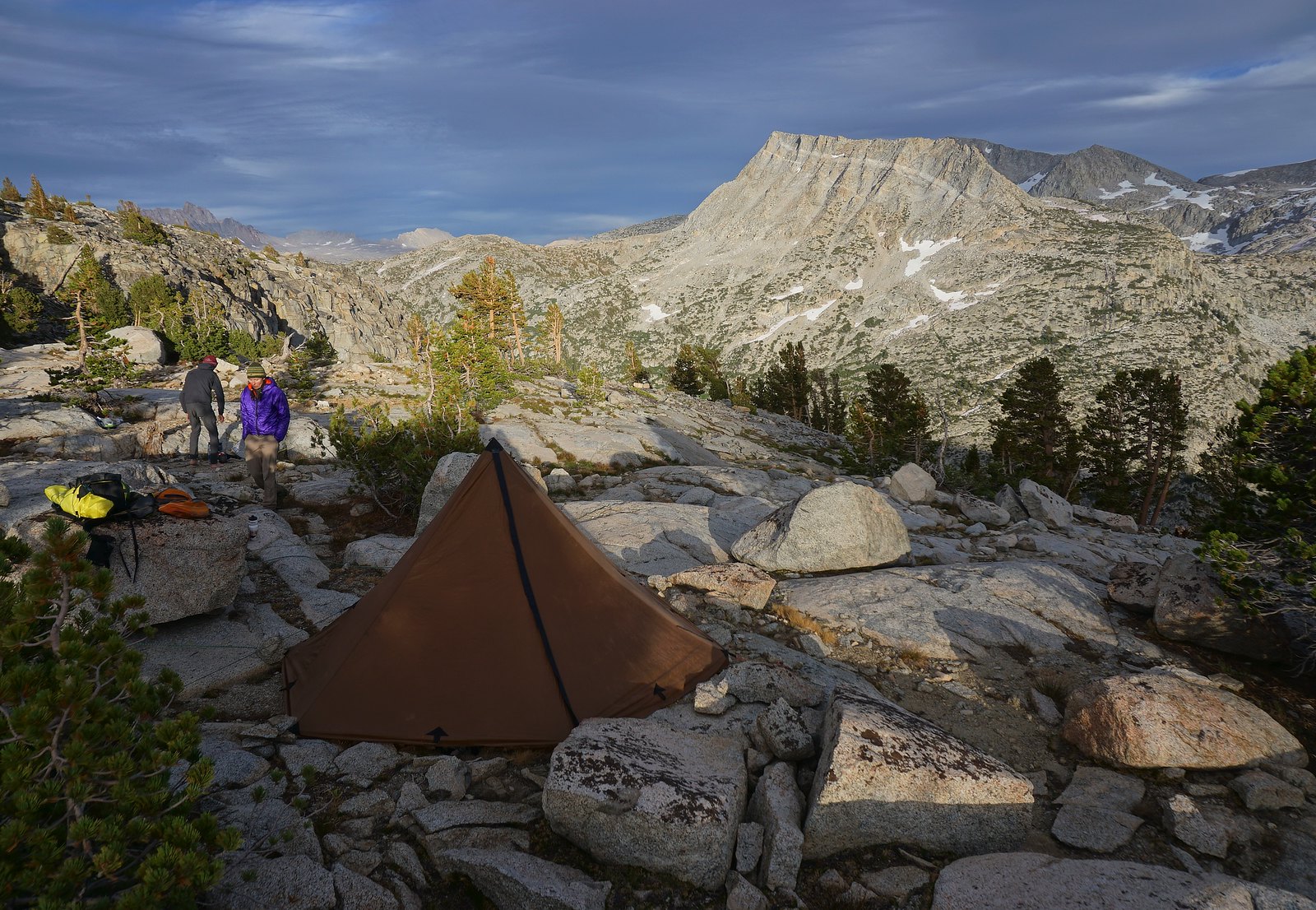
A glorious camp on the edge of Piute Canyon, on the traverse between East and West Pinnacle Creeks. Mt Humphreys, the lone sentinel and almost 14'er, is peeking up on the left skyline.
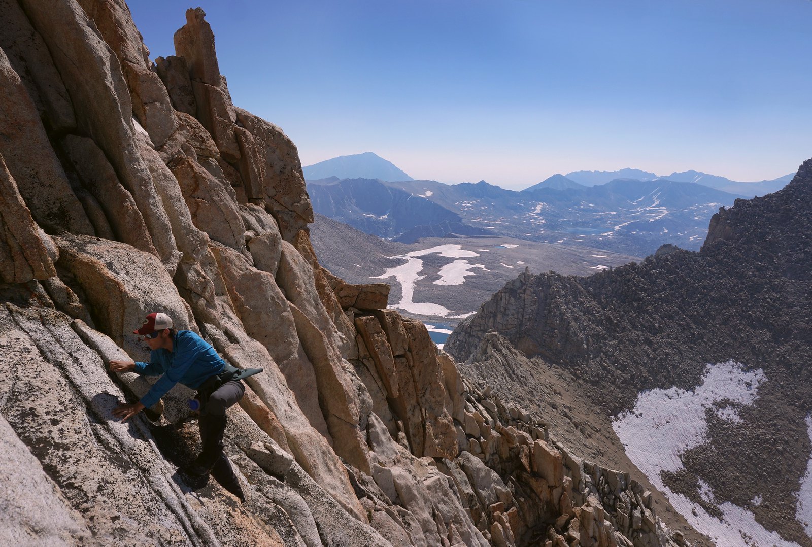
 Another pic from the route on Feather. This is a brief foray onto the always daunting north aspect.
Click here to view on CalTopo.
Highlights were climbing Feather, exploring West Pinnacle Creek and crossing Gemini Col.
We were a group of 5: my wife and son, one of his buddies, and our dog.
Snow levels right now are impressive in the Sierra. Many key passages involved crampons/micro spikes and axes. Mosquitoes could be managed at most camps - worst being the last directly in Pine Creek Pass.
We saw few mammals, but several red tails, possibly an osprey and definitely a bald eagle flying across Old Squaw lake. A golden eagle came close as we were sitting on Julius Caesar.
I will look thru our photos and find more, but these are some good ones to start out with, in no particular order:
The creek below Seven Gables lakes took up a lot of space with all the run off. Here we are wading a big flooded area. Gemini is directly above the blue shirt guy, with the amazing Seven Gables complex on the right.
Near the top of Feather's south ridge, an exposed class 3 scramble on good rock. One or two passages required a steady hand and calm nerves. Mt. Tom, a familiar sight to anyone in Bishop, is the distant hulk on the center skyline.
Pemmican Lake in the remote Pinnacles area. The two strings of lakes surrounding the Pinnacles are quite difficult to access, had absolutely no sign of people and was long on the list of desolate basins I wanted to visit. They did not disappoint. Especially the west drainage is magic.
The lake below the south side of Gemini Col, at the top of East Pinnacle Creek.
Preparing to descend mandatory steep snow down to Seven Gables lakes. A little scary.
A glorious camp on the edge of Piute Canyon, on the traverse between East and West Pinnacle Creeks. Mt Humphreys, the lone sentinel and almost 14'er, is peeking up on the left skyline.
Last edited: