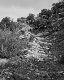
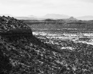
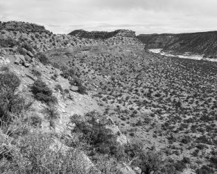
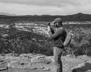
Cheesebox Canyon, Oct. 2022

Joined
Oct 6, 2021
Messages
14
Hi folks, this is a trip report from Cheesebox Canyon last fall, October 27–30, 2022. I’ll be posting each day separately in this thread.

Day 1

We parked not far of Highway 95, immediately across from the canyon mouth. From here, there is a social trail that ledge-hops down to the White Canyon wash, then crosses to pick up a ledge that one can follow into Cheesebox Canyon. (Access directly into Cheesebox from White Canyon is blocked by falls.) The plan was to follow this, then go a few miles up Cheesebox to a spectacular and unique campsite I’ve used before.

20221027-1359.jpg

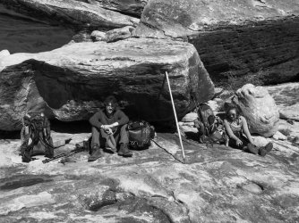
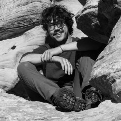
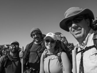
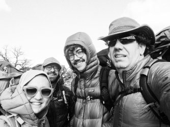
Trip participants, L–R: Madeleine Albright, Richard Milhous Nixon, Spiro Agnew, and myself. It was windy and cold as hell at the trailhead. Also, please note how eligible Mr. Agnew is.
20221027-1362.jpg

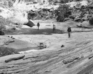
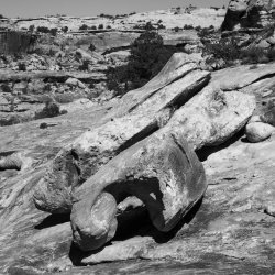
Wind-blown boulders on the ledge in White Canyon that we followed to Cheesebox.
20221027-1370.jpg

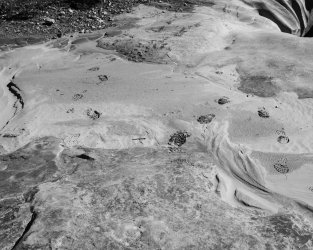
Our footprints above one of the falls that prevent access to the Cheesebox canyon floor from White Canyon.
20221027-1372.jpg

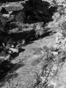
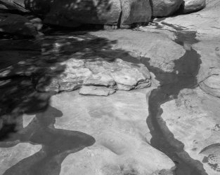
A trickle of water was flowing down the canyon throughout the part we visited.
20221027-1373.jpg

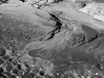
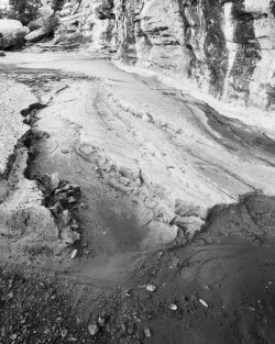
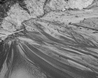
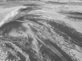
Sand patterns in lower Cheesebox.

20221027-1378.jpg

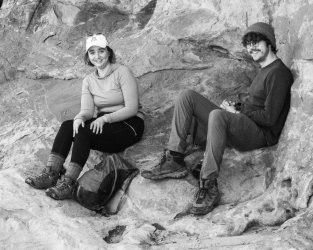
Mr. Agnew and Ms. Albright taking a break. Both of these individuals were firmly Gen Z, which made for a large quantity of amusement on my part.
20221027-1379.jpg

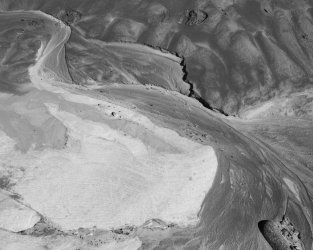
Mini-delta in the sand.

After reaching camp, I spotted a trickle of water on the canyon wall across from camp. I went to check it out, in hopes of obtaining some clear water, since the pools in Cheesebox were quite muddy.
20221027-1381.jpg

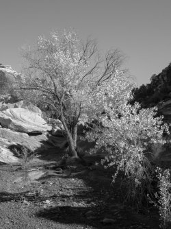
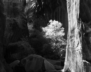
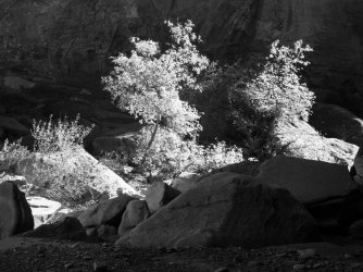
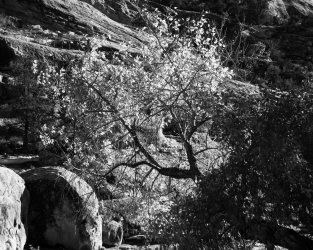
Cottonwood tree near camp.

20221027-1384.jpg

Looking up-canyon towards camp while ascending towards the possible spring.
20221027-1389.jpg

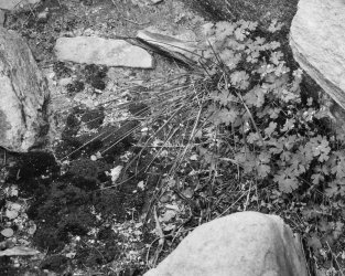
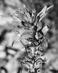
Indian paintbrush, I think.

20221027-1390.jpg

Greenery at a seep in the canyon wall.
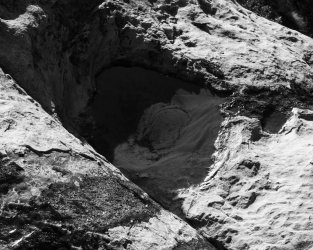
20221027-1393.jpg

There was, in fact, a modest spring happening. This pool was about half empty after I filled my water bags.
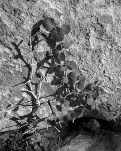
20221027-1394.jpg

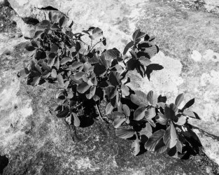
Brush growing out of moist cracks in the rock.
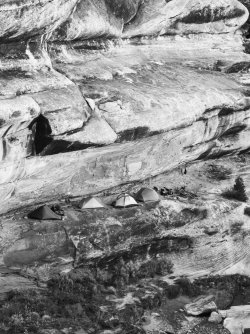
20221027-1397.jpg

Camp. It’s a pretty amazing place to stay, IMO. Access is from the right.
 
Last edited:
Joined
Oct 6, 2021
Messages
14

Day 2

The plan for today was to hike up Cheesebox and check out the narrows, which are pretty amazing IMO.

20221028-1404.jpg

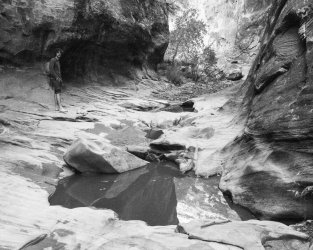
Cottonwood in the wash just above camp.

20221028-1406.jpg

Another mini-delta.

20221028-1408.jpg

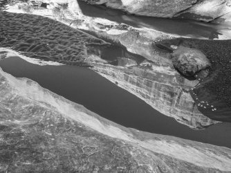
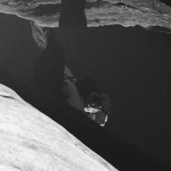
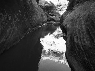
Top of the canyon reflected in the bottom of the canyon?

20221028-1409.jpg

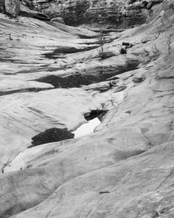
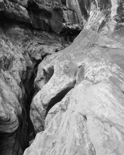
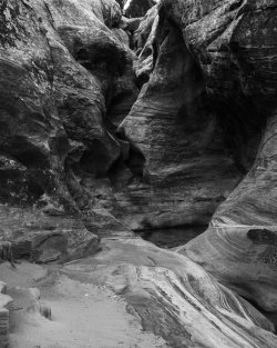
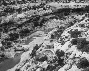
Cheesebox main drainage through the sandstone.

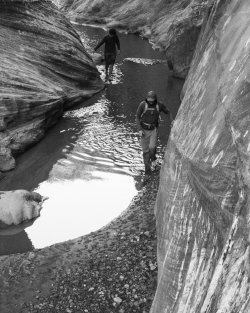
After a little while we came to some narrows that I walked through trivially the last time I’d been here, but this time they were completely flooded. There was a cairned bypass on river right.

20221028-1414.jpg

Crack greenery along the bypass.

20221028-1416.jpg

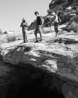
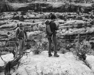
Mr. Nixon, Mr. Agnew, and Ms. Albright above a second set of narrows that we rim-walked past. Note how eligible Mr. Agnew is.

20221028-1418.jpg

These narrows were narrow enough to step across.

20221028-1419.jpg

Erosional features in the sand.

20221028-1423.jpg

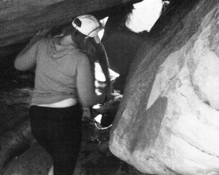
We crossed through and under a very cool zone of house-size boulders. One thing I observed about the zoomers is that any time you point a camera at one, they immediately strike a pose.

20221028-1427.jpg

Drip marks and flow patterns.

20221028-1428.jpg

Entrance to the first big narrows. There is just one or two climbing moves to get to the next ledge and continue, but we didn’t feel quite skilled enough to try it.

20221028-1430.jpg

Ms. Albright and Mr. Agnew hanging out in an alcove near the narrows. Note how thoughtfully eligible Mr. Agnew looks.

20221028-1431.jpg

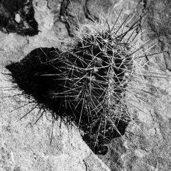
Cactus along the bypass.

These narrows have a rather airy bypass on river left. Returning to the canyon bottom requires some tricky route-finding and one short butt-slide that looked pretty difficult to reverse. As we did this, I reassured the group that “I’ve been here before, and I remember climbing back up this, so there’s nothing to worry about.”

Once we got to the bottom, FPOTUS (former President of the United States, who had been with me the last time) pointed out “you know, we didn’t actually reverse that — we swam through the water on the way back”.

20221028-1434.jpg

I thought this was going to be the “end of the line”. Last time, this was dry and we just walked through, but now it was flooded all the way across.

I took off my shoes, dropped my pack, and waded in, thinking that maybe I’d get a photo or two from in the water. But it was only thigh deep, and before I knew it, I was all the way across. Then I heard more splashing, and ...

20221028-1439.jpg

I guess we’re continuing after all.

20221028-1436.jpg

Side canyon immediately above the “blocking” pool.

20221028-1441.jpg

Mr. Agnew beginning the barefoot portion of our hike.

20221028-1443.jpg

Tunnel under some boulders.

20221028-1444.jpg

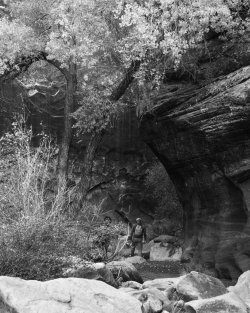
Cottonwood tree. This section of the canyon really is quite spectacular, though painful to walk barefoot.

20221028-1445.jpg

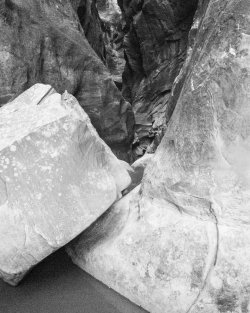
Actual end of the line. Last time we weren’t able to climb past this boulder, and this time it seemed the odds of success were way too low to try a swimming start in cold water.

20221028-1448.jpg

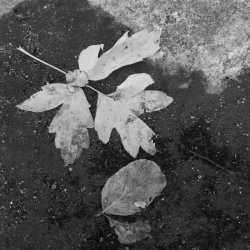
Leaves at the turn-around point.

20221028-1449.jpg

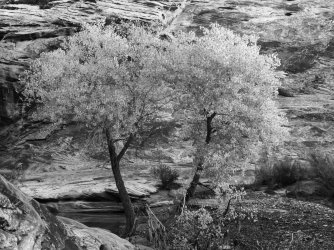
I like taking pictures of cottonwoods, OK?

20221028-1452.jpg

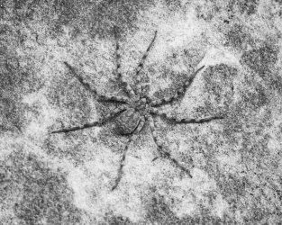
This is the flattest spider I’ve ever seen. Maybe 3" across.

20221028-1453.jpg

Mr. Agnew and Mr. Nixon returning down-canyon, hoping nothing has happened to our packs and shoes.

20221028-1455.jpg

Another two cottonwoods.

Fortunately, we were in fact able to reverse the butt-slide and get back off the canyon floor onto the bypass.

It was at this point I suggested we take a shortcut back to camp, by ascending to the rim and rim-walking back to camp. I knew that it was possible to down-climb from the rim right across from camp. “Smooth sailing”, as Mr. Nixon put it many times over the next few hours. If I recall correctly, it was about 4:00 pm.

20221028-1460.jpg

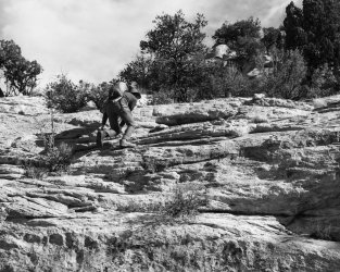
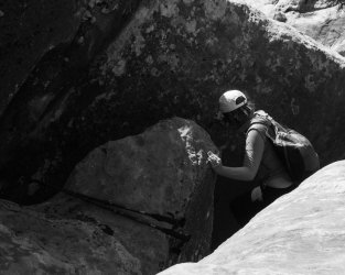
The ascent to the rim was considerably more difficult than I expected. It didn’t help that the rest of us were quite a bit taller than Mme. Secretary, so everything was that much harder for her. This was also the last photo of the day before I became preoccupied with other things.

We got sick of ascending and didn’t go all the way to the rim, which was another mistake on my part, as the ledge we were on kept shrinking into boulders or brushy forests, then finally cliffed out. It was very slow going and extremely tiring. At one point when the President and I had gotten a little ahead of the others, he turned to me and said, “I’ve done the math. There’s no way in hell we’re getting back before dark.” He was right.

Around sunset we arrived at the bay above camp and started to descend. None of it was familiar to either Mr. Nixon or myself; i.e., we knew it could be done and we were in the right general area, but we were running out of light fast. Twice we sent Mr. Nixon ahead at a run to scout a way down. The first time he returned with “Good news! I found a way to the pool you were at yesterday!” Turned out that it was not, in fact, the same pool, but rather a different one on a much higher ledge. Shortly after that we gave in and donned headlamps. Guess who left theirs in camp? Both Mr. Agnew (rank n00b) and Mr. Nixon (very experienced). Fortunately I had a spare in my survival kit.

We finally reached the canyon bottom about 7:45, 90 minutes after sunset (6:25 pm) and an hour after civil twilight ended (6:52 pm). Apparently Mme. Secretary kept herself sane by plotting the gruesome murders of the rest of us.

“I know a shortcut.”
 
Last edited:
Joined
Oct 6, 2021
Messages
14

Day 3

The goal for today was to ascend out of Cheesebox using roughly the descent route from yesterday, then hike up the bluff east of the canyon to see what we could see, and turn around when we got tired.

20221028-1463.jpg

FVPOTUS looking very eligible on our ascent out of the canyon.

The ascent was much easier when it was light, and we found a better way up.

20221029-1469.jpg

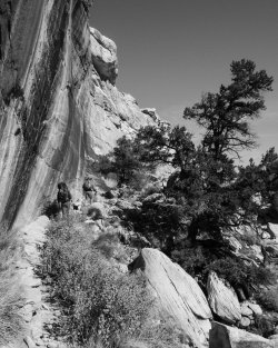
Mr. Agnew leading the scramble up one of the layers.

20221029-1472.jpg

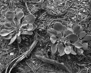
Some modest plants underneath a piñon.

20221029-1475.jpg

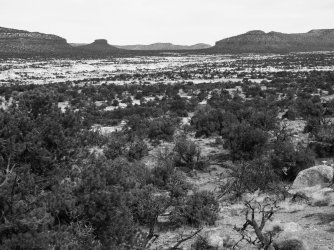
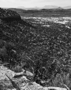
View of middle Cheesebox Canyon from the mining road we caught to ascend the bluff.

20221029-1479.jpg

Mme. Secretary walking up the mining road.

20221029-1482.jpg

Jacob’s Chair and the Henry Mountains beyond.

20221029-1483.jpg

Before long, the mining road reached a pass into the Hideout Canyon drainage (pictured).

20221029-1488.jpg

Mr. Nixon photographing the scenicness.

20221029-1492.jpg

Lower Cheesebox Canyon and the Henry Mountains.

20221029-1498.jpg

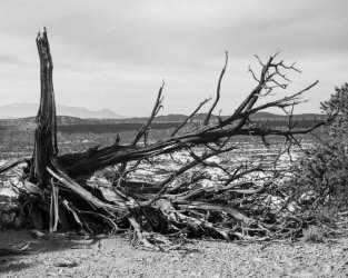
Deceased juniper on the pass.


20221029-1500.jpg

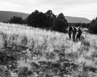
FPOTUS checking his TikTok in a meadow on the walk back to camp.

20221029-1508.jpg

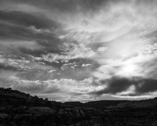
Cloudy sky as the sun got lower (but with plenty of buffer this time!!!).

20221029-1510.jpg

Cheesebox Canyon immediately upstream from camp.

20221029-1511.jpg

I’m not sure I wish to know what these two are thinking about.

We arrived back in camp with more than ample light remaining!
 
Joined
Oct 6, 2021
Messages
14

Day 4

This was the going-home day, and per usual I was pretty sad about leaving.

20221030-1515.jpg

Mr. Agnew, Mme. Secretary, and Mr. Nixon leaving camp.

20221030-1519.jpg

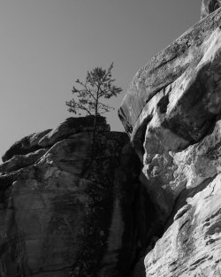
Tree clinging to the rocks in lower Cheesebox Canyon.

20221030-1521.jpg

Ascent out of White Canyon.

20221030-1523.jpg

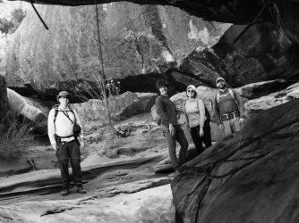
Victory! L–R: Richard Milhous Nixon, Spiro Agnew, Madeleine Albright, and myself.

I hope you all have enjoyed my trip report! I certainly enjoyed the trip. And, both Mr. Nixon and Ms. Albright asked to come along on another trip (this was their second and first backpacking trips, respectively), so I guess down-climbing into a canyon in the dark wasn’t too horrible.
 

Bob

Trailmaster
Joined
Mar 3, 2013
Messages
3,741
Zoomers get married? who'd a thought
 

regehr

Member
Joined
Mar 28, 2012
Messages
2,031
is that excursion up on Lone Butte? I actually have a pin in google earth saying it looks like a great day hike
 
Joined
Oct 6, 2021
Messages
14
I'm wondering why Dan Quayle didn't join you guys. :)
He’s coming on the next one, actually.
is that excursion up on Lone Butte? I actually have a pin in google earth saying it looks like a great day hike
According to google maps, we got to the saddle between Lone Butte East and Lone Butte West. I’d like to check out the mines on Lone Butte West next time, and maybe ascend directly up the butte rather than going around to the mining road. There’s still quite a lot to explore in the area and I’d like to go back soon.
 

GMone

New Member
Joined
Mar 27, 2023
Messages
1

Day 2

The plan for today was to hike up Cheesebox and check out the narrows, which are pretty amazing IMO.

View attachment 119603
Cottonwood in the wash just above camp.

View attachment 119604
Another mini-delta.

View attachment 119605
Top of the canyon reflected in the bottom of the canyon?

View attachment 119606
Cheesebox main drainage through the sandstone.

After a little while we came to some narrows that I walked through trivially the last time I’d been here, but this time they were completely flooded. There was a cairned bypass on river right.

View attachment 119607
Crack greenery along the bypass.

View attachment 119608
Mr. Nixon, Mr. Agnew, and Ms. Albright above a second set of narrows that we rim-walked past. Note how eligible Mr. Agnew is.

View attachment 119609
These narrows were narrow enough to step across.

View attachment 119610
Erosional features in the sand.

View attachment 119611
We crossed through and under a very cool zone of house-size boulders. One thing I observed about the zoomers is that any time you point a camera at one, they immediately strike a pose.

View attachment 119612
Drip marks and flow patterns.

View attachment 119613
Entrance to the first big narrows. There is just one or two climbing moves to get to the next ledge and continue, but we didn’t feel quite skilled enough to try it.

View attachment 119614
Ms. Albright and Mr. Agnew hanging out in an alcove near the narrows. Note how thoughtfully eligible Mr. Agnew looks.

View attachment 119620
Cactus along the bypass.

These narrows have a rather airy bypass on river left. Returning to the canyon bottom requires some tricky route-finding and one short butt-slide that looked pretty difficult to reverse. As we did this, I reassured the group that “I’ve been here before, and I remember climbing back up this, so there’s nothing to worry about.”

Once we got to the bottom, FPOTUS (former President of the United States, who had been with me the last time) pointed out “you know, we didn’t actually reverse that — we swam through the water on the way back”.

View attachment 119615
I thought this was going to be the “end of the line”. Last time, this was dry and we just walked through, but now it was flooded all the way across.

I took off my shoes, dropped my pack, and waded in, thinking that maybe I’d get a photo or two from in the water. But it was only thigh deep, and before I knew it, I was all the way across. Then I heard more splashing, and ...

View attachment 119616
I guess we’re continuing after all.

View attachment 119617
Side canyon immediately above the “blocking” pool.

View attachment 119618
Mr. Agnew beginning the barefoot portion of our hike.

View attachment 119619
Tunnel under some boulders.

View attachment 119621
Cottonwood tree. This section of the canyon really is quite spectacular, though painful to walk barefoot.

View attachment 119622
Actual end of the line. Last time we weren’t able to climb past this boulder, and this time it seemed the odds of success were way too low to try a swimming start in cold water.

View attachment 119623
Leaves at the turn-around point.

View attachment 119624
I like taking pictures of cottonwoods, OK?

View attachment 119625
This is the flattest spider I’ve ever seen. Maybe 3" across.

View attachment 119626
Mr. Agnew and Mr. Nixon returning down-canyon, hoping nothing has happened to our packs and shoes.

View attachment 119628
Another two cottonwoods.

Fortunately, we were in fact able to reverse the butt-slide and get back off the canyon floor onto the bypass.

It was at this point I suggested we take a shortcut back to camp, by ascending to the rim and rim-walking back to camp. I knew that it was possible to down-climb from the rim right across from camp. “Smooth sailing”, as Mr. Nixon put it many times over the next few hours. If I recall correctly, it was about 4:00 pm.

View attachment 119629
The ascent to the rim was considerably more difficult than I expected. It didn’t help that the rest of us were quite a bit taller than Mme. Secretary, so everything was that much harder for her. This was also the last photo of the day before I became preoccupied with other things.

We got sick of ascending and didn’t go all the way to the rim, which was another mistake on my part, as the ledge we were on kept shrinking into boulders or brushy forests, then finally cliffed out. It was very slow going and extremely tiring. At one point when the President and I had gotten a little ahead of the others, he turned to me and said, “I’ve done the math. There’s no way in hell we’re getting back before dark.” He was right.

Around sunset we arrived at the bay above camp and started to descend. None of it was familiar to either Mr. Nixon or myself; i.e., we knew it could be done and we were in the right general area, but we were running out of light fast. Twice we sent Mr. Nixon ahead at a run to scout a way down. The first time he returned with “Good news! I found a way to the pool you were at yesterday!” Turned out that it was not, in fact, the same pool, but rather a different one on a much higher ledge. Shortly after that we gave in and donned headlamps. Guess who left theirs in camp? Both Mr. Agnew (rank n00b) and Mr. Nixon (very experienced). Fortunately I had a spare in my survival kit.

We finally reached the canyon bottom about 7:45, 90 minutes after sunset (6:25 pm) and an hour after civil twilight ended (6:52 pm). Apparently Mme. Secretary kept herself sane by plotting the gruesome murders of the rest of us.

“I know a shortcut.”
I don't remember Mr. Agnew looking that good in the 60s. He's aged reallllllly well.
 
Similar threads
Thread starter Title Forum Replies Date
BJett Part 2 - Tour de Canyon Country. Swell Times Hiking & Camping 0
BJett Part 1 - Tour de Canyon Country. Cedar Mesa. Hiking & Camping 7
Gretchen Millward Trachyte Creek via Woodruff Canyon, April 2023 Backpacking 2
F Grand Canyon hermits rest to granite rapids to bright angel Trip Planning 10
gnwatts Stillwater Canyon On The Water 11
shredhiker Kings Canyon July 2022 Kearsarge, Rae, & Sixty Lakes Backpacking 8
J Info needed: Bown's Canyon, Long Canyon Trip Planning 7
Stickerbumper Fold Canyon Middle Exit Trip Planning 6
Janice Professor Creek / Mary Jane Canyon - mid April? Trip Planning 0
D Horseshoe Canyon or San Rafael Swell? Trip Planning 9
scatman North Ridge of City Creek Canyon - February 4, 2023 Hiking & Camping 17
scatman South Ridge of City Creek Canyon - January 28, 2023 Hiking & Camping 4
NorthwestWanderer 8 Day High Sierra trek : Humphreys Basin, Star Col, Granite Park, Lake Italy & Piute Canyon 6/25-7/2/22 Backpacking 7
T Amazing Discovery in Utah-Glen Canyon Trip Planning 64
Titans What’s your unfinished business? Hard canyon access, mtn peak, you name it! General Discussion 54
SteveR Big Spring-Elephant Canyon dayhike. With free bonus vacation pix! Hiking & Camping 13
Stephanie B Dirty Devil River Impassible at Poison Springs Canyon Off Road 0
LarryBoy Is there anything technical in White Canyon above the Black Hole? Trip Planning 16
dennisrodman A week in the Grand Canyon / Boucher / Hermit / Tonto Trail Trip Planning 4
XID_AZ Kanab Creek Wilderness - Sowats Canyon - Mountain Sheep Spring Trip Planning 6
travel2walk Yellowstone: Bechler Canyon, Aug 12-15 2022 Backpacking 21
balzaccom Mok Canyon Solitude for my birthday Backpacking 0
XID_AZ FiftyMile Canyon Sand slide Trip Planning 0
chandlerwest Hells Canyon - Jet Boat On The Water 0
futurafree Grand Canyon norovirus General Discussion 6
H location of thirteen faces-horse canyon Utah Hiking & Camping 4
Bob Teton Canyon Bear General Discussion 3
scatman Big Willow Canyon - June 11, 2022 Hiking & Camping 33
TrailScot Dripping Canyon to Grand Gulch, Cedar Mesa, Utah - March 2022 Hiking & Camping 7
Janice Cottonwood Fluff in Canyon Country General Discussion 4
H Horse Canyon needles district Utah Off Road 0
Nethos Into Dark Canyon Backpacking 12
D Fox Canyon Escalante? General Discussion 6
Bob Slickhorn Canyon System - 6 days Backpacking 22
Kerrie at Thru We Go Grand Canyon Backpack/Packraft Loop at New Hance Backpacking 11
SeanIsADesertRat Old guys backpacking in Dark Canyon Backpacking 17
H Access to Grand Gulch via Water Canyon Trip Planning 2
montanaclimber Bechler canyon as an out-and-back Trip Planning 9
M What's your rain forecast comfort zone for canyon hiking? Trip Planning 4
M Grand Canyon NP, Royal Arch Route Backpacking 0
VegasHikeLife Paria Canyon 2022 Trip Planning 1
T Snow Canyon Loop Hiking & Camping 1
westy Grand Canyon-Parashant NM, Parashant canyon Hiking & Camping 4
fossana Yellow Rock, Pollock Arch, Hackberry Canyon loop (GSENM) Hiking & Camping 8
marquis20 Day 1: Grand Teton Wilderness and Black Canyon of the Yellowstone - June 2021 Backpacking 0
westy Grand Canyon-Parashant Trip Planning 2
Rockskipper Application Period Open For 2023 Private River Trips Through Grand Canyon National Park General Discussion 0
T Harris Wash/Silver Falls/Choprock/Fence Canyon Loop MLK weekend 2022 Backpacking 8
F Hammond Canyon, UT trip planning Trip Planning 9
regehr Lower Horseshoe Canyon and Big Spring Trip Planning 7

Similar threads

Don't like ads? Become a BCP Supporting Member and kiss them all goodbye. Click here for more info.

Top