- Joined
- Dec 23, 2013
- Messages
- 4,306
I attempted this hike back in November of 2017 with my daughter, and with my late start that day, and shorter days that time of year, we didn't make it to the summit of Castle Rock. Castle Rock is located on Stansbury Island, which with the lower water level of the Great Salt Lake isn't really an island now.
The trailhead is located about fifty miles to the west of Salt Lake City and the entire hike is without a trail, but even without a trail, there is no chance of getting lost as you can pretty much see where you need to go from the get go. The entire route is exposed, with a few Juniper trees here and there. There is private land located on Stansbury that one is supposed to avoid, which makes for a rather long approach to the high point.
We began by making our way up to the old Lake Bonneville bench. Once on the bench, we hiked north along it. Occasionally we would have to cross steep gullies where running water had eroded the bench over time. We continued north until we reached the easiest grade of slope to hike up in order to gain the main ridge of the island. Once we were on the ridge, we continued to follow the ridgeline north and on to the summit of Castle Rock. There is a little bit of scrambling as you get very close to the summit.
Here are some shots of our hike.
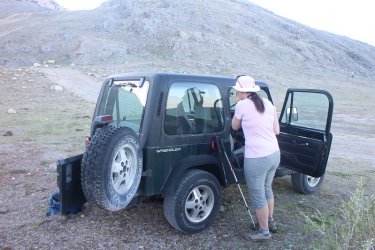
The Jeep doesn't get to go on many long drives anymore so it was quite excited.
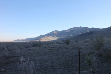
Early morning sun on Stansbury Island. Castle Rock is the small bump along the ridgeline to the right of center.
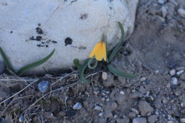
Yellows Bells were beginning to bloom at lower elevations
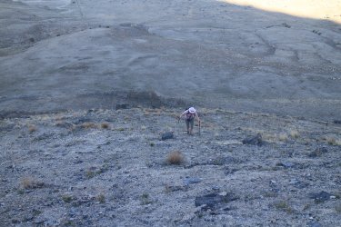
Making our way up to the Lake Bonneville shoreline (bench)
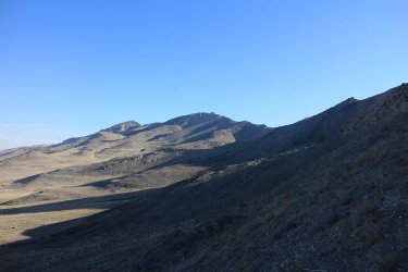
View to the north
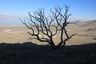
Dead Juniper at bench level
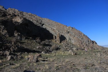
Very pleasant hiking along the bench

Looking west down first drainage that we had to cross
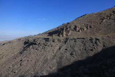
A good look at the old bench from across the second drainage we encountered.
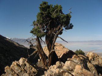
Juniper tree
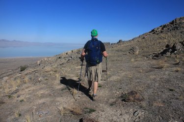
Strolling along the bench
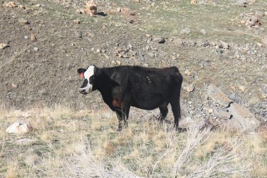
Finally some wildlife! I'm not sure what differentiates Stansbury Island Bison from Yellowstone Bison. Anybody out there know?
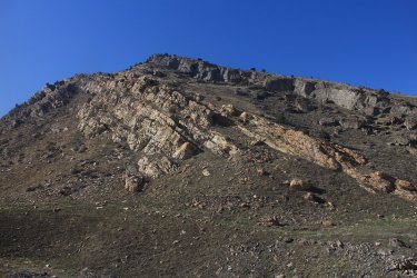
Layered rock along our route
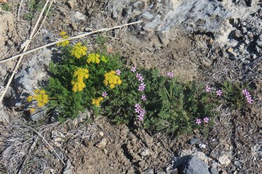
Some Spring Parsley and Common Storksbill. The Spring Parsley was the hit of the hike as it was plentiful and blooming everywhere along our route
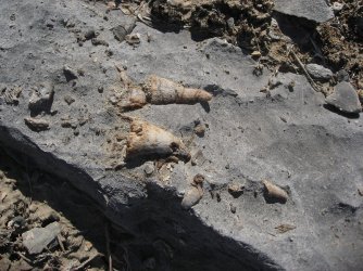
Some fossilized sea shells in the rock
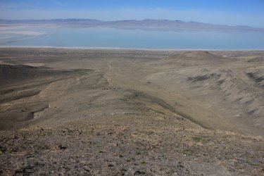
Making our way up to the main ridgeline.
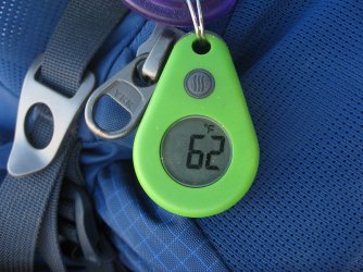
62 in the shade of a Juniper tree. It would end up reaching a high of 79 degrees, which is relatively hot for this time of year here.
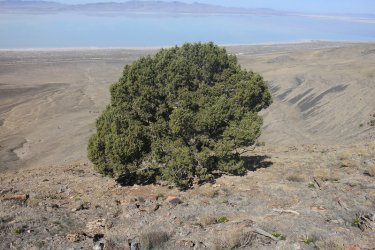
We took a break in the shade of this Juniper before completing our trek to the ridge
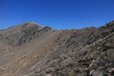
Getting close to the ridgeline
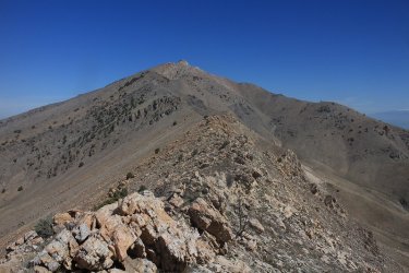
On the ridge.
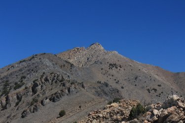
Castle Rock
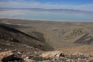
View to the west from the ridgeline. The Lakeshore Mountains in the distance
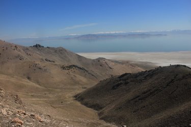
First view to the east with Antelope Island and Frary Peak visible and the Wasatch Front in the far distance.
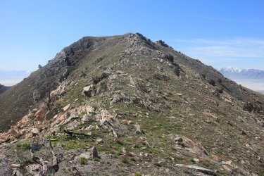
Some ups and downs along the ridge
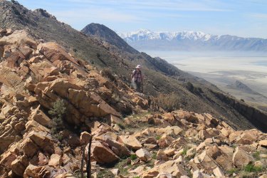
Sheila, making her way along the ridge with the snow covered Stansbury Range in the distance.

A very quick energy bar break before heading on to the summit
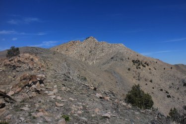
Seems within reach.
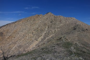
Castle Rock - only one more hill to climb
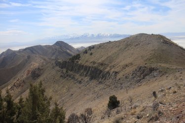
A look back along the ridge we had been traversing
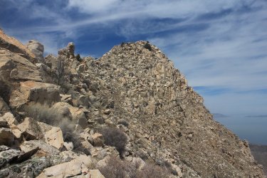
The summit! I can almost reach out and touch it.
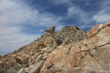
The scrambling portion
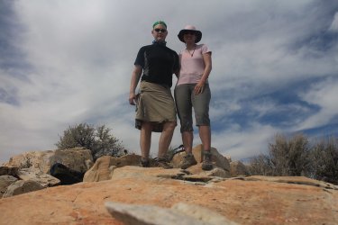
On top
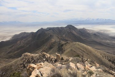
Views from the top - looking south along the spine of the island
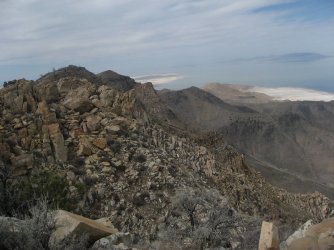
View from the top - looking north to the northern end of the island
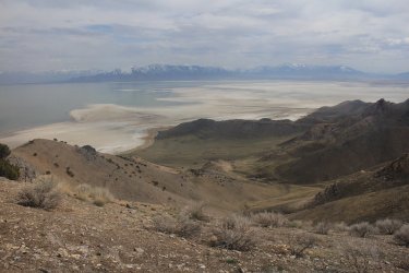
View from the top - looking southeast towards the Oquirrh Mountains
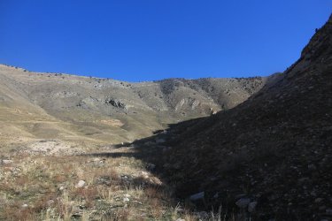
On our way down at this point - a view into one of the canyons.
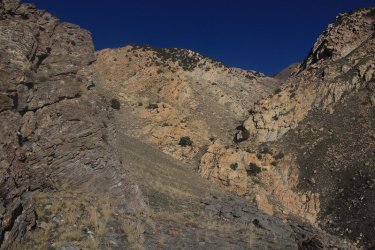
View up one of the drainages we had to cross
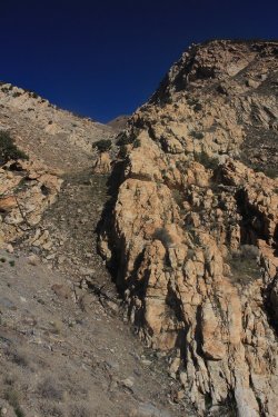
Another drainage that we are crossing again. On this one though, instead of hiking down to the
bottom of the drainage and then hike back up and out of it, we hiked up to the crack between the
rocks that you can see just above the center of the image. We then worked our way back down
to the bench and continued heading south
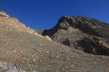
Approaching another drainage

A look back on Castle Rock in the late afternoon sunshine
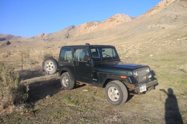
Take us home 94 Wrangler.
The End.
The trailhead is located about fifty miles to the west of Salt Lake City and the entire hike is without a trail, but even without a trail, there is no chance of getting lost as you can pretty much see where you need to go from the get go. The entire route is exposed, with a few Juniper trees here and there. There is private land located on Stansbury that one is supposed to avoid, which makes for a rather long approach to the high point.
We began by making our way up to the old Lake Bonneville bench. Once on the bench, we hiked north along it. Occasionally we would have to cross steep gullies where running water had eroded the bench over time. We continued north until we reached the easiest grade of slope to hike up in order to gain the main ridge of the island. Once we were on the ridge, we continued to follow the ridgeline north and on to the summit of Castle Rock. There is a little bit of scrambling as you get very close to the summit.
Here are some shots of our hike.

The Jeep doesn't get to go on many long drives anymore so it was quite excited.

Early morning sun on Stansbury Island. Castle Rock is the small bump along the ridgeline to the right of center.

Yellows Bells were beginning to bloom at lower elevations

Making our way up to the Lake Bonneville shoreline (bench)

View to the north

Dead Juniper at bench level

Very pleasant hiking along the bench

Looking west down first drainage that we had to cross

A good look at the old bench from across the second drainage we encountered.

Juniper tree

Strolling along the bench

Finally some wildlife!

Layered rock along our route

Some Spring Parsley and Common Storksbill. The Spring Parsley was the hit of the hike as it was plentiful and blooming everywhere along our route

Some fossilized sea shells in the rock

Making our way up to the main ridgeline.

62 in the shade of a Juniper tree. It would end up reaching a high of 79 degrees, which is relatively hot for this time of year here.

We took a break in the shade of this Juniper before completing our trek to the ridge

Getting close to the ridgeline

On the ridge.

Castle Rock

View to the west from the ridgeline. The Lakeshore Mountains in the distance

First view to the east with Antelope Island and Frary Peak visible and the Wasatch Front in the far distance.

Some ups and downs along the ridge

Sheila, making her way along the ridge with the snow covered Stansbury Range in the distance.

A very quick energy bar break before heading on to the summit

Seems within reach.

Castle Rock - only one more hill to climb

A look back along the ridge we had been traversing

The summit! I can almost reach out and touch it.

The scrambling portion

On top

Views from the top - looking south along the spine of the island

View from the top - looking north to the northern end of the island

View from the top - looking southeast towards the Oquirrh Mountains

On our way down at this point - a view into one of the canyons.

View up one of the drainages we had to cross

Another drainage that we are crossing again. On this one though, instead of hiking down to the
bottom of the drainage and then hike back up and out of it, we hiked up to the crack between the
rocks that you can see just above the center of the image. We then worked our way back down
to the bench and continued heading south

Approaching another drainage

A look back on Castle Rock in the late afternoon sunshine

Take us home 94 Wrangler.
The End.
