Navigation
Install the app
How to install the app on iOS
Follow along with the video below to see how to install our site as a web app on your home screen.
Note: This feature may not be available in some browsers.
More options
You are using an out of date browser. It may not display this or other websites correctly.
You should upgrade or use an alternative browser.
You should upgrade or use an alternative browser.
Can You Guess Where The Uintas Are?
- Thread starter Perry
- Start date
- Joined
- May 31, 2015
- Messages
- 3,305
Right under those big clouds? Looks like the standard afternoon storm brewing out there.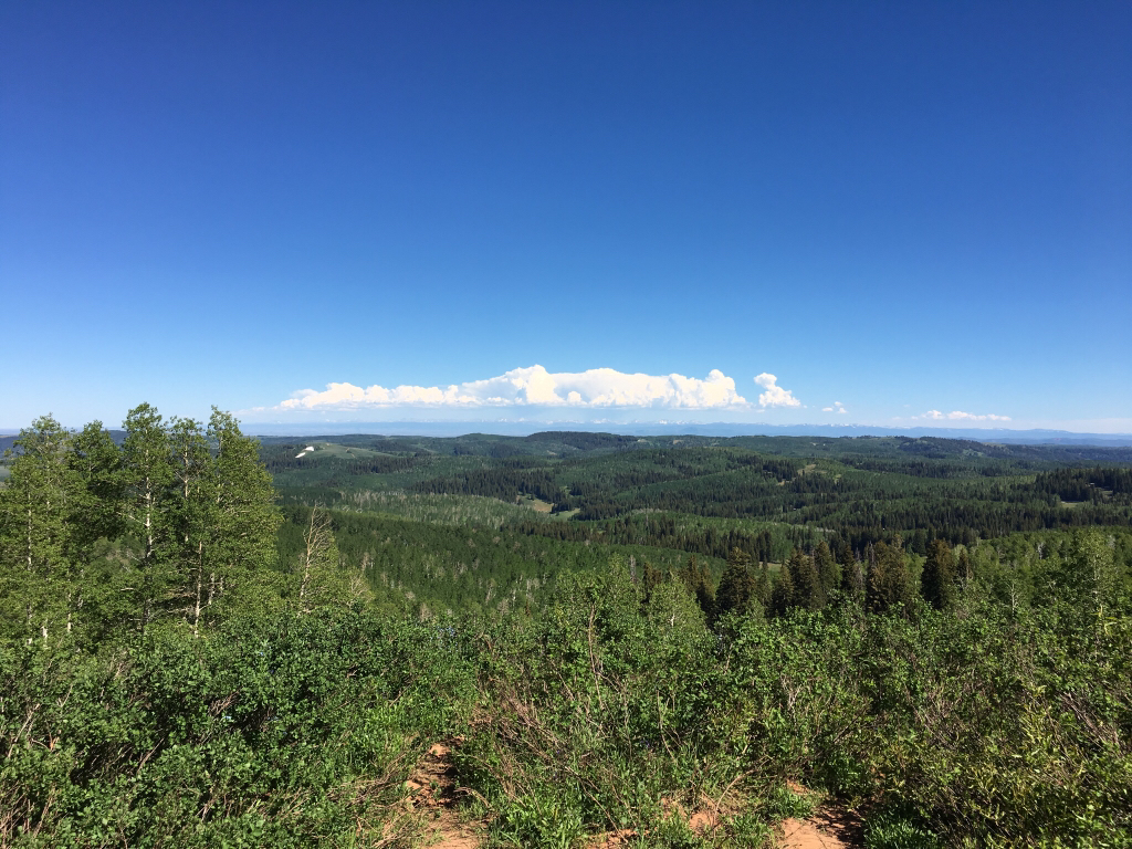
Sent from my iPhone using Tapatalk
- Joined
- Aug 8, 2016
- Messages
- 2,077
Right under those big clouds? Looks like the standard afternoon storm brewing out there.
Yeah... didn't expect them this soon I guess.
Sent from my iPhone using Tapatalk
- Joined
- Jan 4, 2015
- Messages
- 2,886
It's Fremont Peak! Jkjk
I'm always amazed by how much stormer the uintas are than anything else in Utah. Any weather nerds here who can explain it? I'm thinking it has to do with a combination of their height and girth, intensified by a long esst-west fetch
I'm always amazed by how much stormer the uintas are than anything else in Utah. Any weather nerds here who can explain it? I'm thinking it has to do with a combination of their height and girth, intensified by a long esst-west fetch
- Joined
- Mar 19, 2014
- Messages
- 560
It's Fremont Peak! Jkjk
I'm always amazed by how much stormer the uintas are than anything else in Utah. Any weather nerds here who can explain it? I'm thinking it has to do with a combination of their height and girth, intensified by a long esst-west fetch
Not sure they are stormier but they sure are stormy. It's the upthrust of moist air. I go to the SE quadrant of Utah just for the storms in summer. The LaSals, Abajos, and Henry's generate storms most every day during the monsoon. Sometimes the storms just stay over the peaks but they regularly move to the valleys below. Just spent 4 days in the LaSals and we had lightning and rain on and off day and night. Moab remained hot and sunny.
Don't like ads? Become a BCP Supporting Member and kiss them all goodbye. Click here for more info.