Udink
Still right here.
- Joined
- Jan 17, 2012
- Messages
- 1,748
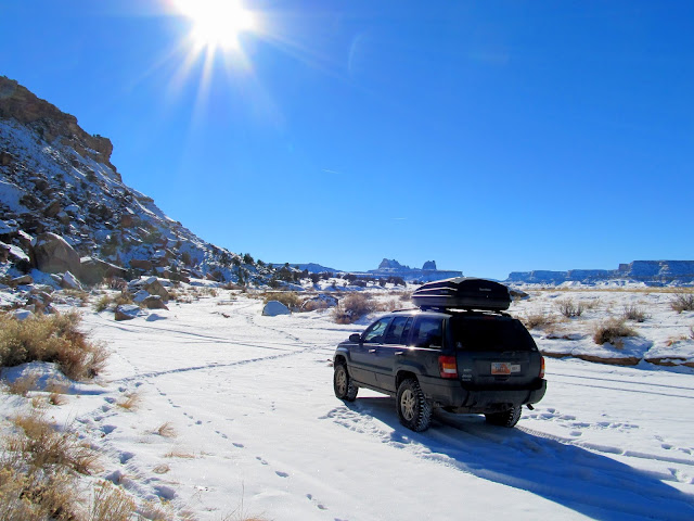
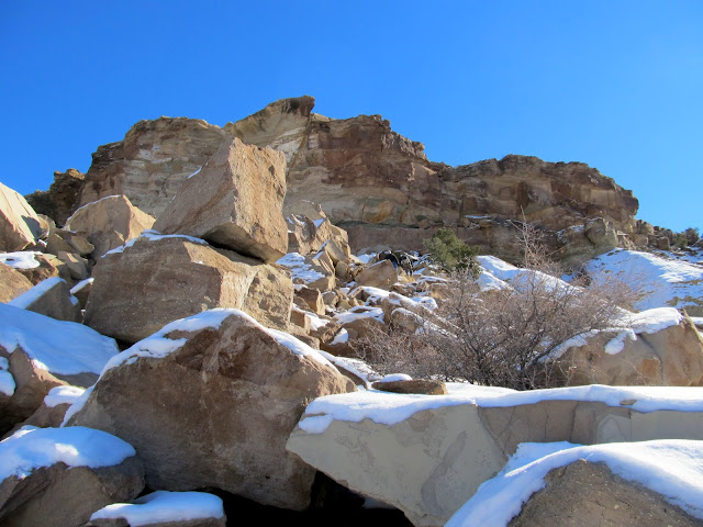
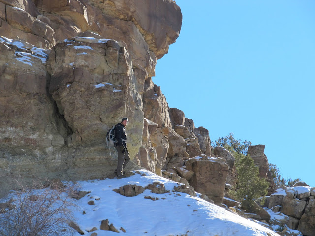
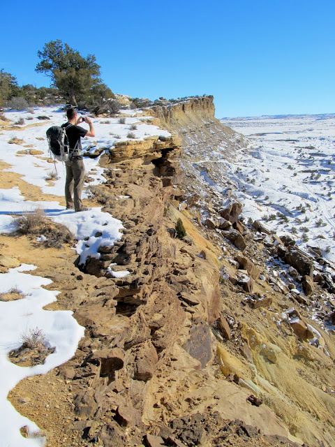
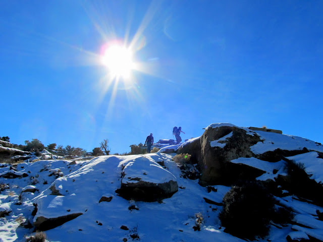
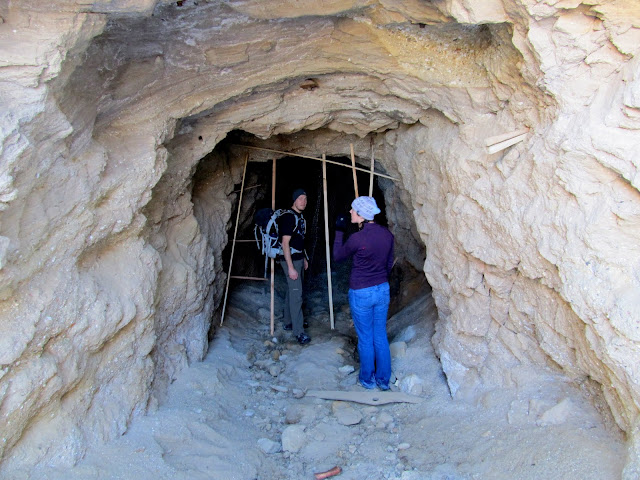
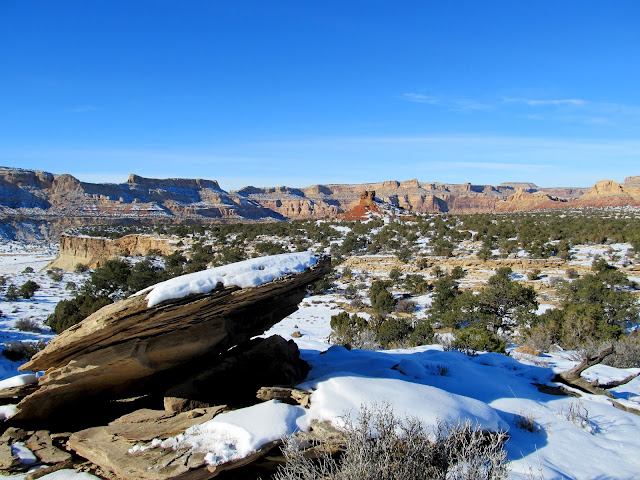
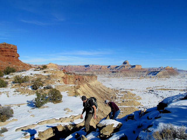
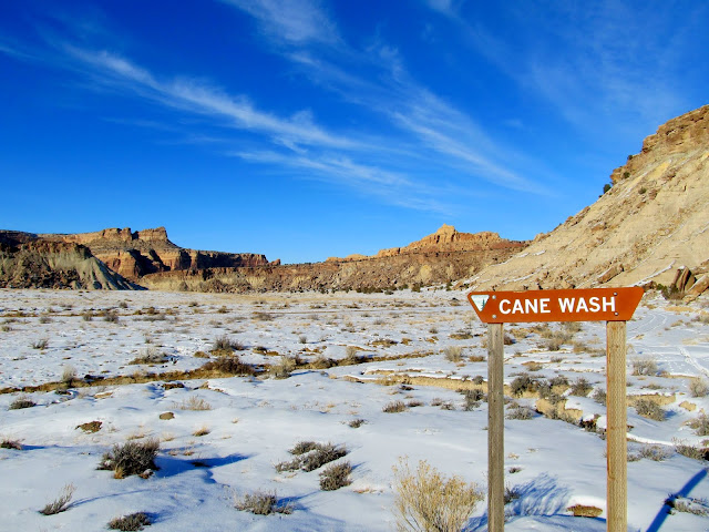
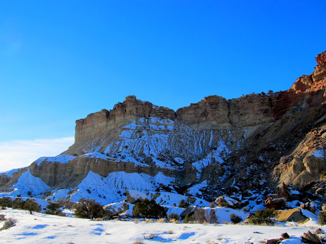
Chris and his girlfriend, Rachael, stayed at my place in Price this weekend and we were in need of a short hike to do on Saturday before Traci's family Christmas party. We looked at my long to-do list of waypoints in Google Earth and Chris picked out Calf Mesa, which is a few miles southwest of the San Rafael River bridge at Buckhorn Wash. There's an old, washed out mining road leading onto Calf Mesa, but hiking it would have taken more time than we had, so I mapped out a shorter route up a steep, bouldery gully that breaches the upper cliff band that surrounds the mesa. We parked where the road ends at Cane Wash and hiked over to then up through the gully. There was a shallow mine adit up one side of the gully so we changed our course to check it out. From there it was a sketchy traverse below the cliff band until we reached a break that allowed us to get on top of Calf Mesa.
Parked in Cane Wash
Bouldery drainage leading to the top of Calf Mesa
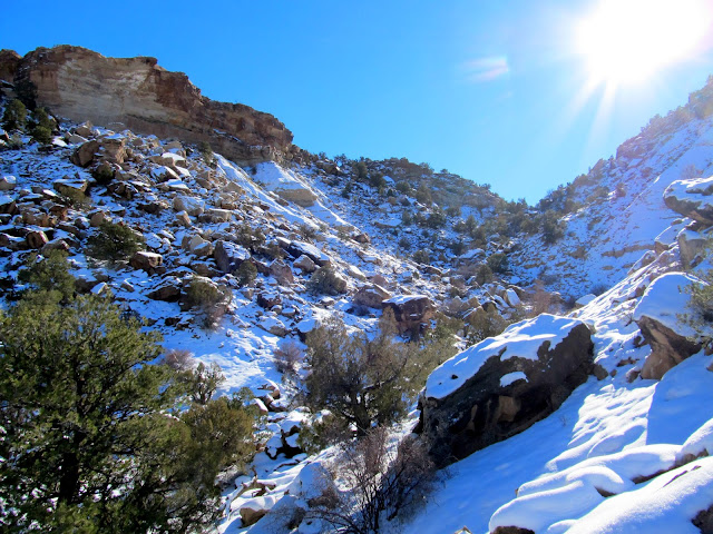
Bouldery slope
Old, washed out road onto Calf Mesa
Chris below the final cliff band
Inside a shallow adit
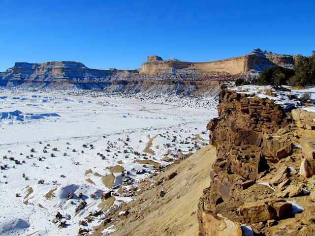
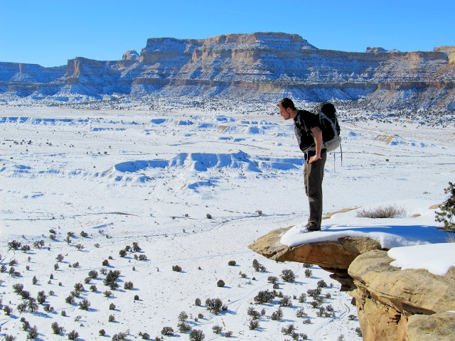
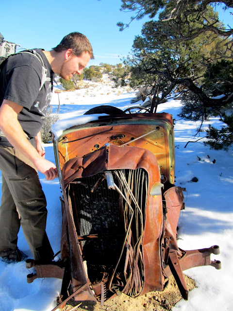
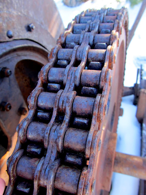
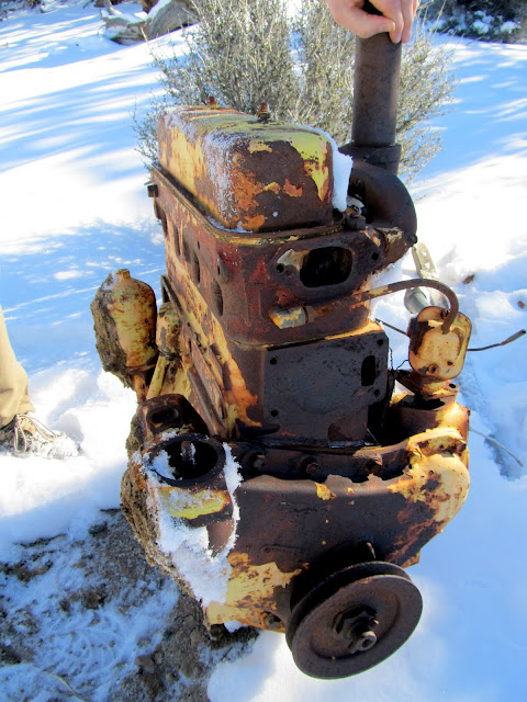
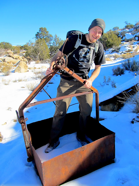
Once on top of Calf Mesa it was an easy walk to the south rim, which we followed southeast toward some mining relics that I'd spotted in Google Earth. Besides some drill holes and claim markers, the first relic we came across was an '35 or '36 Chevy that had been converted into a hoist. The driveshaft was attached to a series of large pulleys, both belt- and chain-driven, with a lever to control the hoist. It has probably been moved from where it was originally put to use because it wouldn't be of much use in its current location. On the ground near the hoist was a four-cylinder engine lying on the ground with a huge hole broken out of the crankcase. Beyond that was an ore bucket and a ramp or chute leading down from a mine shaft.
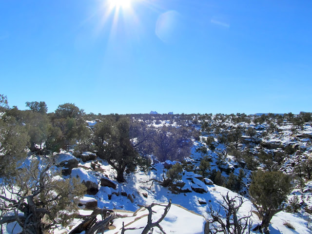
On top of Calf Mesa
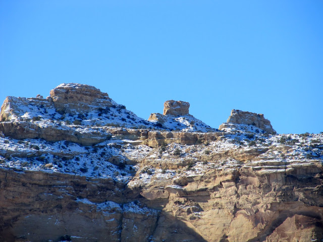
Three peaks on No Man's Mountain
Calf Mesa rim
Calf Mesa rim
Chris on the high-dive
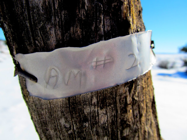
AM #2
A '35 or '36 Chevy converted into a hoist
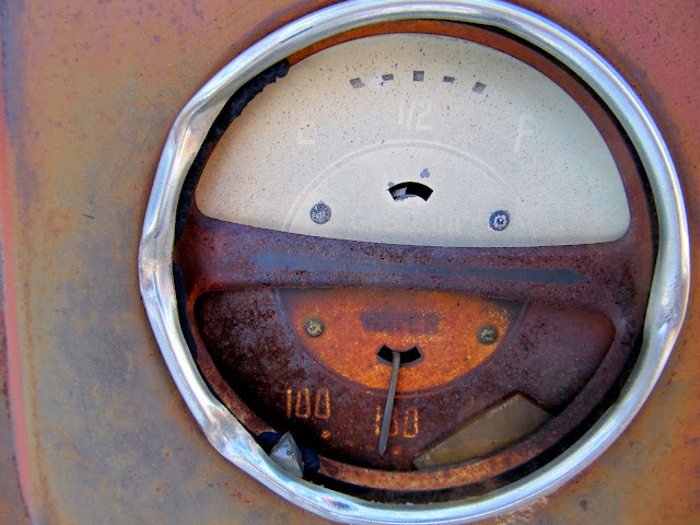
Water temp looks good
Chain drive on the hoist
Four cylinder engine
Ore bucket
Ramp or chute
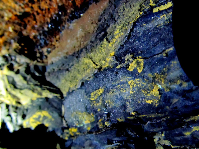
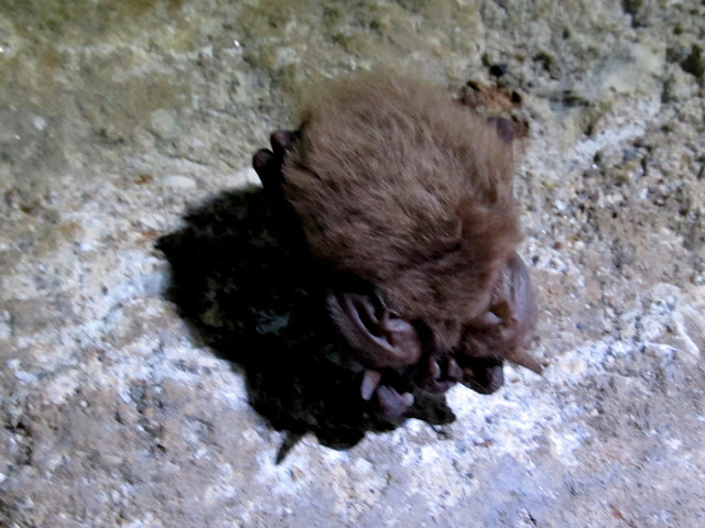
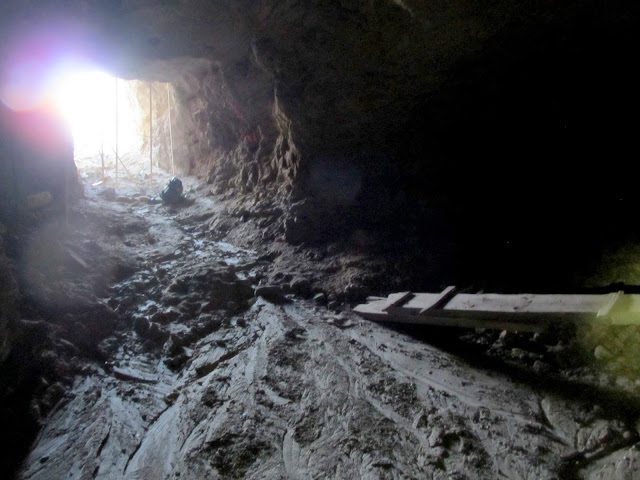
The mine shaft was angled down into the sandstone cap that covers the top of the mesa. It went underground deeply enough to make use of our headlamps, but it ended after perhaps a couple hundred feet. Unlike most uranium mines I've been inside that are shored up by timbers, this one had roof bolts holding up the ceiling. There were small pockets of coal, and streaks of yellow and deep blue from uranium and vanadium. After having been inside for a short while we noticed there were a couple of bats hanging from the ceiling.
Climbing up to a mine opening
Just inside the mine
Yellow ore on top of coal deposits
Bat on the ceiling
Inside the mine
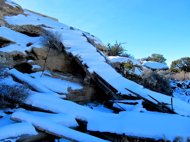
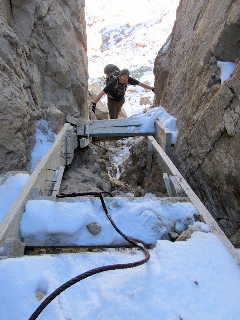
We explored outside a little more but didn't find anything of interest except for a steep old wooden staircase leading down through a fault in the cliff. We decided to try descending the steps instead of retracing our steps back across the top of the mesa. It felt really sketchy at first, then I removed my backpack and made it pretty easily down the steps and the ledges below. We went both directions below the cliff to check out several mine shafts that were recently sealed off.
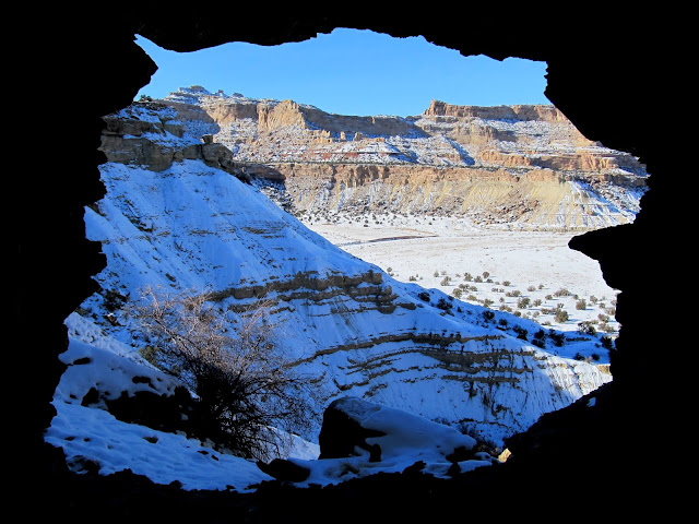
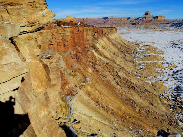
View northwest across Calf Mesa
Scrambling around the rim
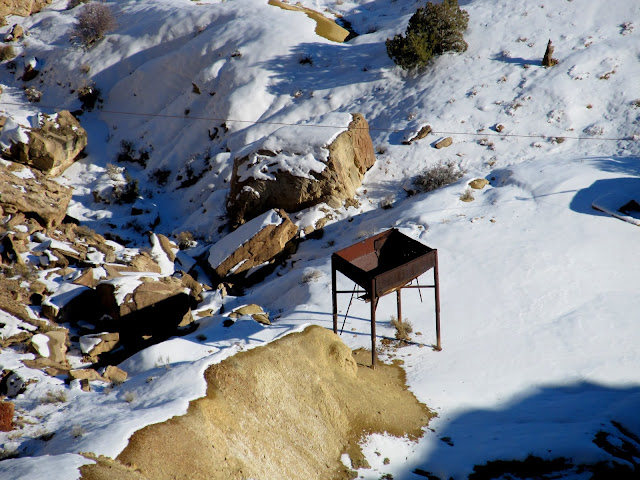
Tipple below the mesa
View along the mesa's edge toward Window Blind Peak
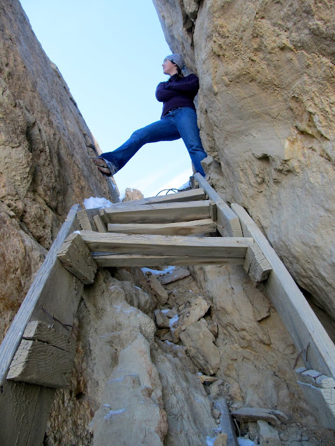
Sketchy stairs that we used to descend the mesa
Rachael above the stairs
Steep route below the stairs
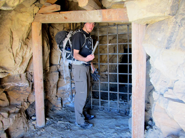
Sealed-off mine entrance
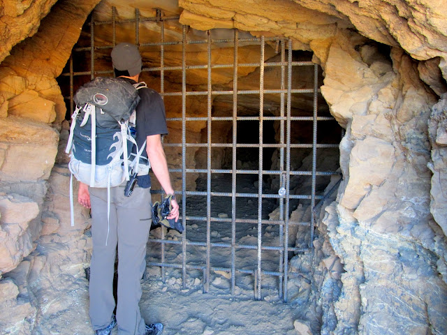
Another sealed-off mine
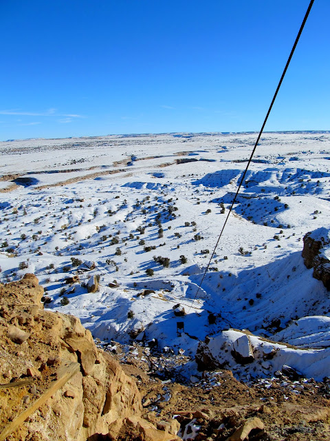
Cable anchored to a boulder below
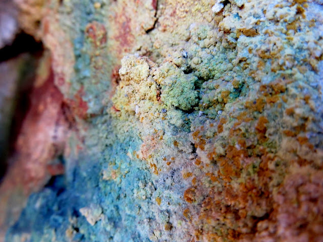
Colorful mineral growth
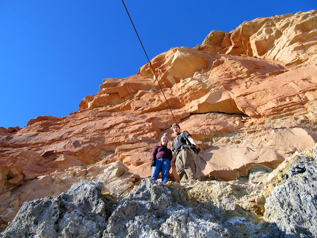
Rachael and Chris
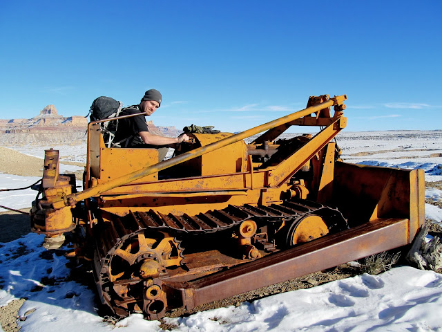
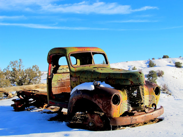
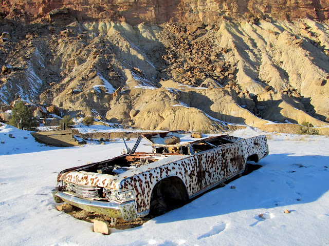
A mining track led from the mine shafts down to the road we'd driven in on, and we followed it back to the Jeep, passing an old Allis Chalmers bulldozer on the way. On the drive out we stopped to check out some abandoned vehicles below the mines: a late-1940s International truck and an 1965 Lincoln Continental. The International was probably used in the operation of the mines but the Lincoln almost certainly was abandoned after they closed down.
Walking down the mining track
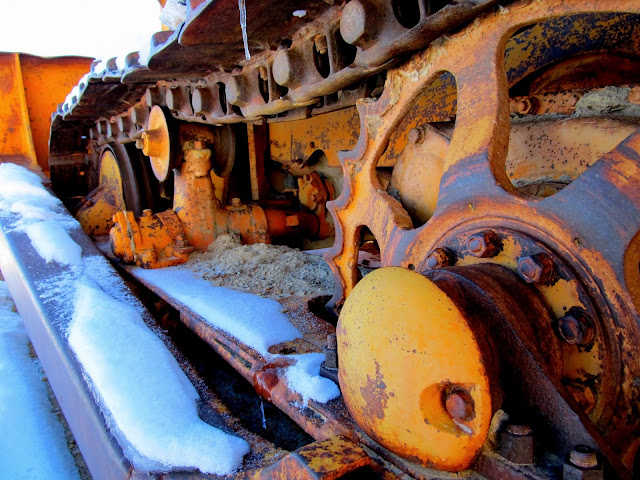
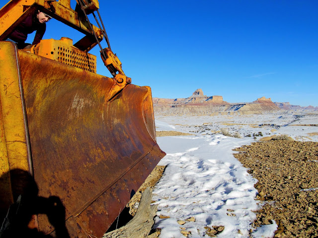
Allis Chalmers bulldozer
Dozer track
Dozer blade and Window Blind Peak
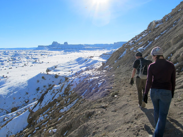
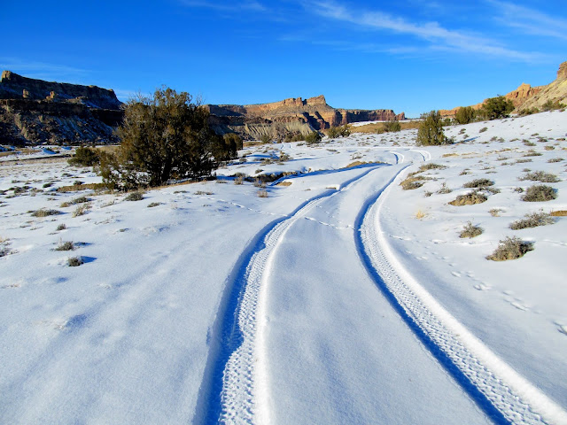
Following Jeep tracks in the snow
Cane Wash
Old truck below the mines
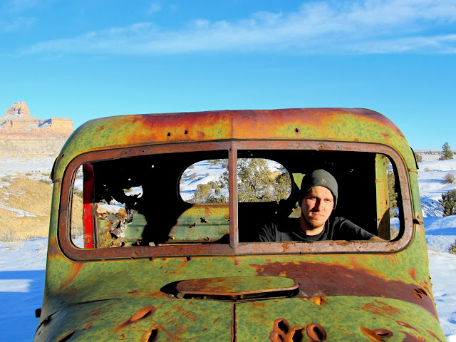
Chris goin' for a drive
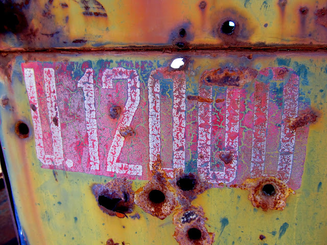
U.12,000
1965 Lincoln Continental
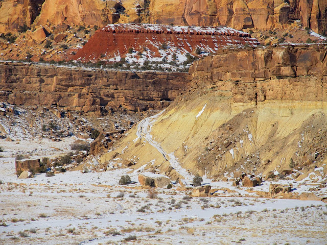
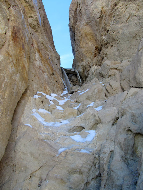
View up to the mines, with the stair-gap near the center
This would be better done as a spring hike when the ground is softer to provide better footing on the steep slopes and the snow is gone to allow more mining relics to be seen on the ground. I really wouldn't mind going back and exploring more of the mesa top next year, perhaps taking the stair route up and back down, leaving plenty of time to explore for other mine shafts along the many dozer roads on top.
Full photo gallery:
https://picasaweb.google.com/Dennis.Udink/CalfMesa
[parsehtml]<iframe width="640" height="480" frameborder="0" scrolling="no" marginheight="0" marginwidth="0" src="https://maps.google.com/maps?q=http:%2F%2Fudink.org%2Fgeo%2FCalfMesa.kmz&hl=en&sll=39.499761,-111.547028&sspn=5.255682,10.821533&t=h&ie=UTF8&ll=39.031386,-110.720901&spn=0.016002,0.027423&z=15&output=embed"></iframe><br /><small><a href="https://maps.google.com/maps?q=http:%2F%2Fudink.org%2Fgeo%2FCalfMesa.kmz&hl=en&sll=39.499761,-111.547028&sspn=5.255682,10.821533&t=h&ie=UTF8&ll=39.031386,-110.720901&spn=0.016002,0.027423&z=15&source=embed" style="color:#0000FF;text-align:left">View Larger Map</a></small>[/parsehtml]http://udink.org/geo/CalfMesa.kmz
Featured image for home page:

Parked in Cane Wash
Bouldery drainage leading to the top of Calf Mesa
Bouldery slope
Old, washed out road onto Calf Mesa
Chris below the final cliff band
Inside a shallow adit
Once on top of Calf Mesa it was an easy walk to the south rim, which we followed southeast toward some mining relics that I'd spotted in Google Earth. Besides some drill holes and claim markers, the first relic we came across was an '35 or '36 Chevy that had been converted into a hoist. The driveshaft was attached to a series of large pulleys, both belt- and chain-driven, with a lever to control the hoist. It has probably been moved from where it was originally put to use because it wouldn't be of much use in its current location. On the ground near the hoist was a four-cylinder engine lying on the ground with a huge hole broken out of the crankcase. Beyond that was an ore bucket and a ramp or chute leading down from a mine shaft.
On top of Calf Mesa
Three peaks on No Man's Mountain
Calf Mesa rim
Calf Mesa rim
Chris on the high-dive
AM #2
A '35 or '36 Chevy converted into a hoist
Water temp looks good
Chain drive on the hoist
Four cylinder engine
Ore bucket
Ramp or chute
The mine shaft was angled down into the sandstone cap that covers the top of the mesa. It went underground deeply enough to make use of our headlamps, but it ended after perhaps a couple hundred feet. Unlike most uranium mines I've been inside that are shored up by timbers, this one had roof bolts holding up the ceiling. There were small pockets of coal, and streaks of yellow and deep blue from uranium and vanadium. After having been inside for a short while we noticed there were a couple of bats hanging from the ceiling.
Climbing up to a mine opening
Just inside the mine
Yellow ore on top of coal deposits
Bat on the ceiling
Inside the mine
We explored outside a little more but didn't find anything of interest except for a steep old wooden staircase leading down through a fault in the cliff. We decided to try descending the steps instead of retracing our steps back across the top of the mesa. It felt really sketchy at first, then I removed my backpack and made it pretty easily down the steps and the ledges below. We went both directions below the cliff to check out several mine shafts that were recently sealed off.
View northwest across Calf Mesa
Scrambling around the rim
Tipple below the mesa
View along the mesa's edge toward Window Blind Peak
Sketchy stairs that we used to descend the mesa
Rachael above the stairs
Steep route below the stairs
Sealed-off mine entrance
Another sealed-off mine
Cable anchored to a boulder below
Colorful mineral growth
Rachael and Chris
A mining track led from the mine shafts down to the road we'd driven in on, and we followed it back to the Jeep, passing an old Allis Chalmers bulldozer on the way. On the drive out we stopped to check out some abandoned vehicles below the mines: a late-1940s International truck and an 1965 Lincoln Continental. The International was probably used in the operation of the mines but the Lincoln almost certainly was abandoned after they closed down.
Walking down the mining track
Allis Chalmers bulldozer
Dozer track
Dozer blade and Window Blind Peak
Following Jeep tracks in the snow
Cane Wash
Old truck below the mines
Chris goin' for a drive
U.12,000
1965 Lincoln Continental
View up to the mines, with the stair-gap near the center
This would be better done as a spring hike when the ground is softer to provide better footing on the steep slopes and the snow is gone to allow more mining relics to be seen on the ground. I really wouldn't mind going back and exploring more of the mesa top next year, perhaps taking the stair route up and back down, leaving plenty of time to explore for other mine shafts along the many dozer roads on top.
Full photo gallery:
https://picasaweb.google.com/Dennis.Udink/CalfMesa
[parsehtml]<iframe width="640" height="480" frameborder="0" scrolling="no" marginheight="0" marginwidth="0" src="https://maps.google.com/maps?q=http:%2F%2Fudink.org%2Fgeo%2FCalfMesa.kmz&hl=en&sll=39.499761,-111.547028&sspn=5.255682,10.821533&t=h&ie=UTF8&ll=39.031386,-110.720901&spn=0.016002,0.027423&z=15&output=embed"></iframe><br /><small><a href="https://maps.google.com/maps?q=http:%2F%2Fudink.org%2Fgeo%2FCalfMesa.kmz&hl=en&sll=39.499761,-111.547028&sspn=5.255682,10.821533&t=h&ie=UTF8&ll=39.031386,-110.720901&spn=0.016002,0.027423&z=15&source=embed" style="color:#0000FF;text-align:left">View Larger Map</a></small>[/parsehtml]http://udink.org/geo/CalfMesa.kmz
Featured image for home page:
")

