chandlerwest
Member
- Joined
- Feb 7, 2015
- Messages
- 550
I want to get my disclaimers out there. As I sit at this computer I am not sure how this trip report will play out. What is the story I want to tell???? This is a hike that is not here on BCP (that I can find), combine that with being an area of the park that is visited by a comparatively small number of people I want to at least share my photos with the group. It took me a year to, almost, complete the route as I was doing it in day hike segments.
There are 32 miles of trails "Under The Rim" in Bryce Canyon National Park. There are ten campsites along the way. Permits are required for overnights and obtained at the Visitors Center. The logistics of a through hike have eluded me, especially the past couple years. With the shuttle not running to Rainbow Point due to Covid and staffing. It seems like two vehicles would be a must. The newspaper is adamant that "no hitchhiking is allowed" so you would have to be less obvious to apply that option. There are four connector trails which allows for segmenting the longer trail.
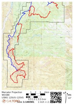
This maps shows the route and the segments that I hiked. During the course of the narrative I will discuss the three gaps.
In October 2020, as part of a day trip to Bryce I hiked the two miles down from Bryce Point to the "Hat Shop". If I had known I was going to grow the Under The Rim Trail into a project I would have focused more on getting past The Hat Shop so as to fill in the upper gap on the map.
From Bryce Point the trail meanders across the knoll/ridge.
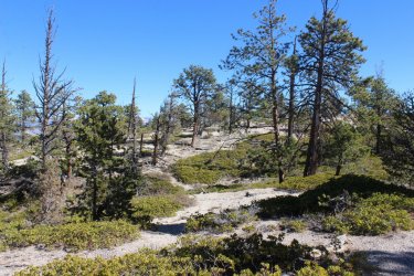
The view off to the northeast.
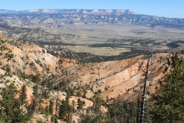
It was a persistent, but relatively pleasant, 1,500 foot drop down to the Hat Shop
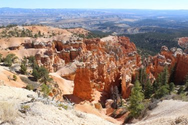
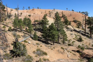
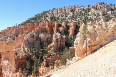
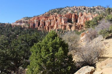
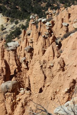
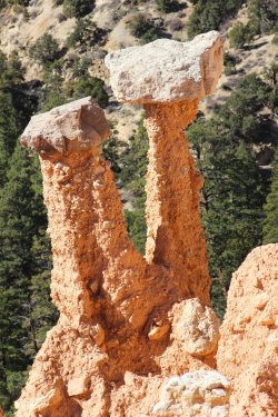
The Hat Shop
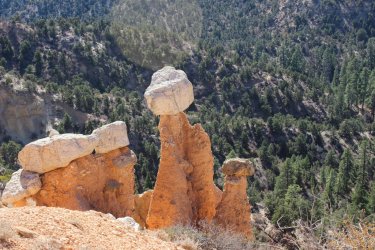
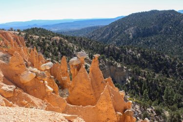
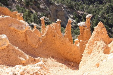
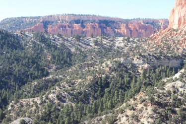
This is a view over to the Yellow Creek area I got to a year later. There is a 3 mile trailed gap between the Hat Shop and Yellow Creek. Yellow Creek runs through the valley on the other side of that high ridge. It would be a segment of trail that would be easy enough to pick up on another day hike from Bryce Point, but it would essentially be a walk through the forest and within the drainage. No different cliffs would be viewable. Maybe I'll bag that section some day.
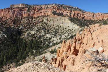
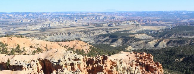
View across the grand expanse to the east. You can just see Navajo Mountain.
Jump ahead to Sept. 2021. I had just come off my Glacier NP high so I wasn't ready to lock myself up for the winter. I thought about the Under The Rim Trail in Bryce. I have shown a willingness to overnight in my car. I felt that by spending three night in the car I could day hike all the sections of the trail in one trip. So I packed up the pizza and went to Bryce with this aggressive 54 mile plan.
I got to Rainbow Point just before sunrise. This initial day I would hike from Rainbow Point north to the Agua Canyon Connector Trail which I had done back in 2009.
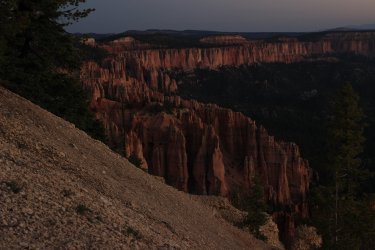
I got up at something like 3:30 A.M. so that I could make the drive and see the suns first kiss on the rampart that is southern Bryce Canyon.
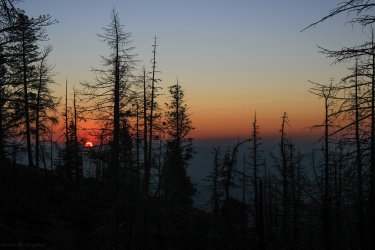
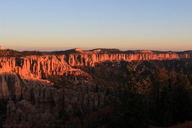
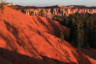
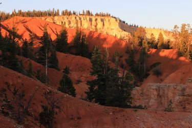
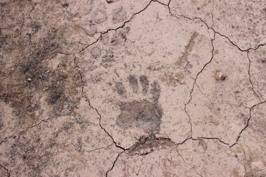
I am thinking that this a bear cub paw?
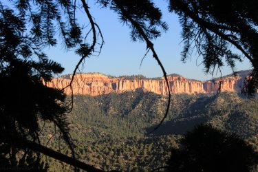
Every drainage that is cross is at some level of blown out.
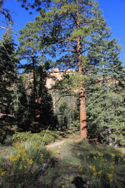
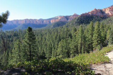
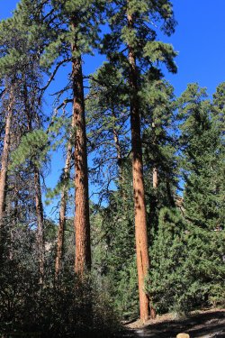
Towering Ponderosa Pines. Truly a nice area to mosey through.
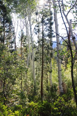
Beautiful stand of Aspens near Iron Spring. Both a campsite and natural spring.
Looking back towards Rainbow Point
A random complex of rock. I believe that my turn around point is the top of the next ridge. But don't quote me on that.
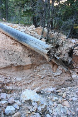
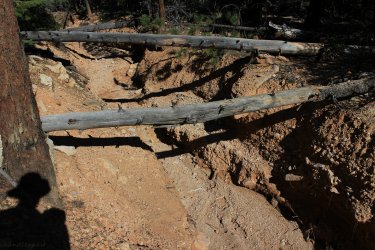
This was kind of tricky. The rock cairn inferred that you walk across this initial log. But that sure does look like a weak spot over an eight foot drop. I found a weak spot upstream then walked downstream to find another weak spot out of it.
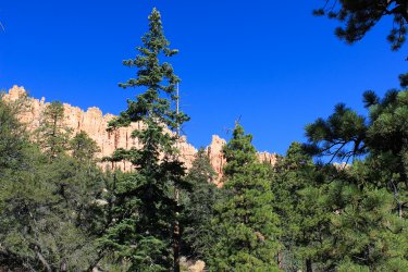
View to the north from the Aqua Canyon Connector junction.
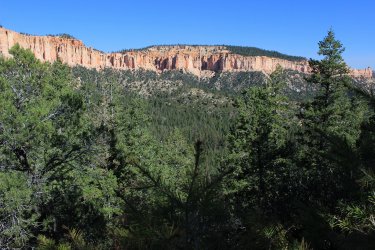
I zoomed in on Navajo Bridge that you drive by on the road.
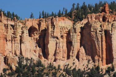
View to the south across the area that I had just covered.
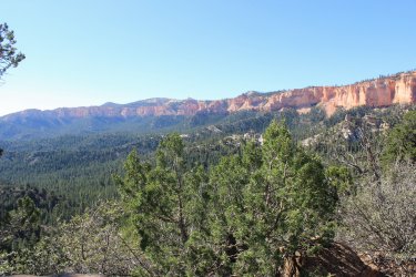
My plans called for me to hike back up to this point on day two from the north. I deemed that that would be a waste of energy to trudge up that hill to reach an point where I had already taken photos from. That segment is the lower broken section on the map. It is a 1.5 mile section that is in the forest with quite a bit of elevation. With this decision I felt somewhat lightened, as the miles I planned on hiking seemed rather burdensome.
I explored that random rock area.
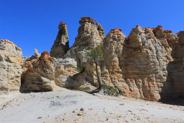
Slowly making my way back to Rainbow Point.
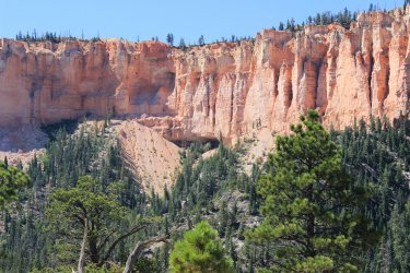
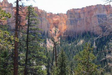
View north. I could try to connect all the pieces of this project but I have learned that it is easier to just say......I hiked all the way along these ramparts on various segments of my hikes.
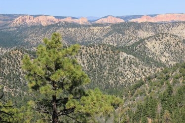
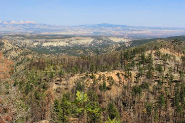
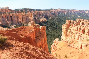
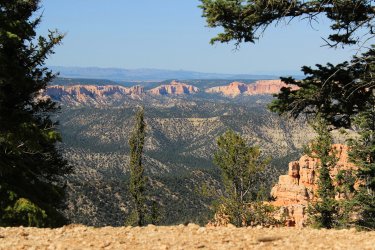
I was so wiped out from this day. It was 12 miles which wasn't particularly long compared to one of my planned days but the elevation gain and lost, and the heat almost stopped the project. Mentally or physically I wasn't in the right place for the commitment required. I almost got in the car and drove the 2.5 hours home, but I felt I should at least test out my new arrangement in my car. To see if it was more comfortable and provided some sleep. Plus......it has been ages since seeing the sunrise over Bryce Canyon.
So I drove into Dixie National Forest and found me a nice spot to spend the night. I had given up on spending three nights out......sadness.
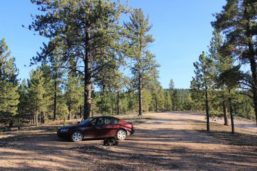
I spent the night excited for the sunrise but I didn't completely give up on a possible hike the next day. Spending a night in the car allows for two days of hiking with only one drive to the park. If I could manage a hike on day two it didn't Completely end this Under The Rim Project. I was more comfortable in the car but it still didn't lead to much sleep. Argh.
Sunrise Point with dozens of other folks
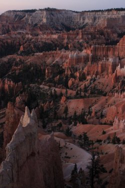
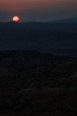
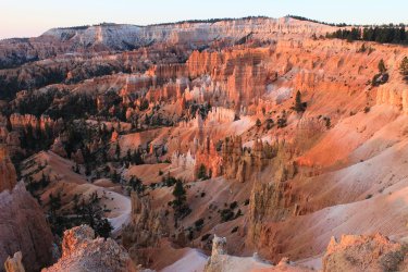
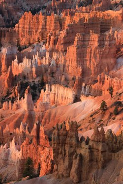
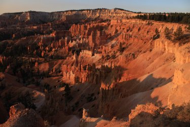
I set off on the Whiteman Connector Trail for a hike to the south toward the area I had been yesterday. This day would only be 8 miles as I had made the decision the prior day to not trudge up through the forest to the Aqua Canyon Connector Trail junction.
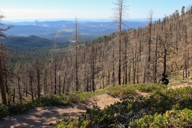
A forest fire has blown across this Whiteman Bench.
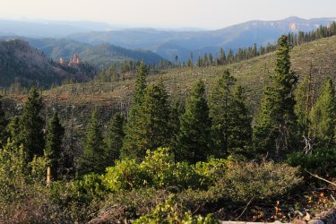
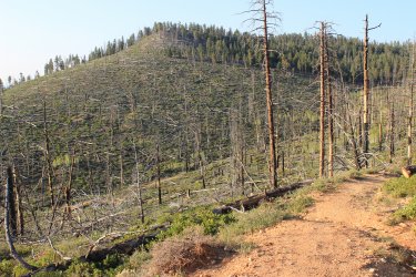
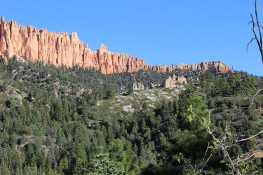
Heading south on the Under The Rim Trail I love the hard edge that cliff face.
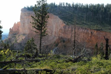
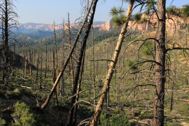
This section of trail cuts across the corner of National Forest land. It would be easy enough to bypass the National Park Service camp system by steering off into the National Forest which lies just east of the park and trail. I don't backpack so I am not speaking to the rightness or wrongness of doing this but on the surface it feels like an option. I assume some level of bushwhacking would be needed as there wasn't a trail junction leaving the park along the lower 2/3rd of the Under The Rim Trail.
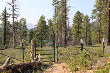
This is where this day got a bit crazy. My turn around goal was the Navajo Bridge Campsite. If I could get below the bridge I felt like that would be a worthy photo to get. Well.....I spotted this bridge and got all excited.
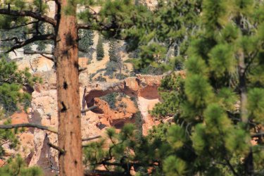
Even though I hadn't been hiking long enough I got it in my head that I was close to my turn around point. "There is the Natural Bridge!!" So I internally discussed turning around but......feeling as if the campsite was just around the bend or over the next hill,,,,,,I hiked on. In retrospect I have to laugh, as I think I ended up being a couple passes and an hour away from any campsite which was in such deep woods that any view of THE Natural Bridge.....did not exist.
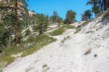
There was a pass that was a huge sand dune. Quite unexpected and odd. I tried to capture the sand "flows" across the trail.
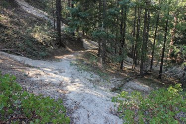
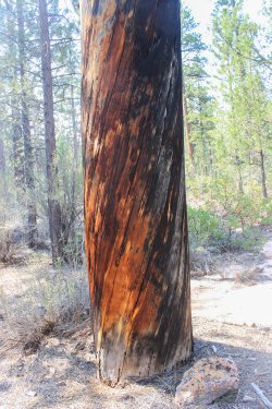
Love these huge trees, be they alive or be they dead.
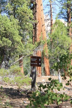
Proof I got to the campsite. Quite a large healthy stand of Pondos
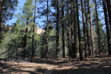
To psyched myself up for the return trip I just said "I have three up climbs. Oh my! One at a time." A better shot of the sand dune pass.
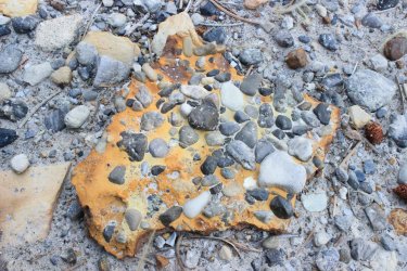
A conglomerate of smalls in the pink slurry of Bryce Canyon.
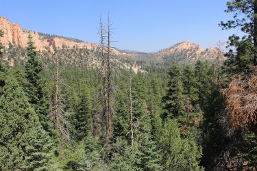
Today's hike came down that valley.
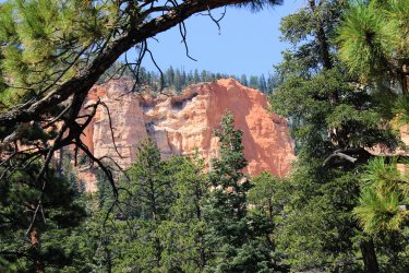
This shot encapsulates the Under The Rim Trail. Occasional views through the forest of the pink cliffs.
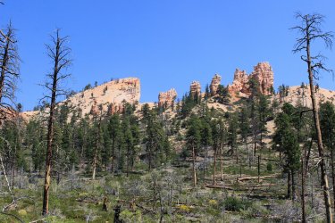
This is now the scene of my one regret. That I did not have the drive to complete this 1.5 mile section of trail down Swamp Canyon. That is 3 miles round trip. It is right at the junction with the Whiteman Connector Trail. I had the daylight before I set off to drive home. It looked unique because there are cliffs on both sides. I even sat on the rim gazing off to the north reaches of the Under The Rim Trail for quite a long time. BUT I could not get it out of my head that the trail seemed to DROP like a stone into the canyon which I would only have to come back up.....and I still had a mile climb up to the road in the godforsaken heat of the day with only rocks for shade. I told myself that I could be satisfied with these photos.
The lost section of trail from the south end
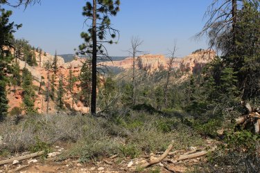
I made my way home, sort of, beaten. I had no expectations of when I would return to Bryce Canyon. Talking to boys about how the car camping went I brought up the sleeping bag that Scott had left for me. "Maybe I can utilize that somehow." He stated that he wondered why I didn't just cowboy camp instead of trying to somehow make the trunk of my car work. I started looking at my maps. One of the remaining hikes was an 18 mile day. I critically looked at the route to assess if I could somehow shorten it. That section between Yellow Creek and the Hat Shop suddenly became unnecessary as it accounted for 6 miles but really no exciting terrain or views. Thus, a week later I grabbed the sleeping bag and headed for Bryce Canyon again.
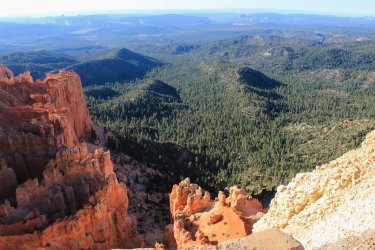
This view is down upon the Riggs Springs Trail from Yovimpa Pt. It is a 9 mile loop trail on the very southern end of the park.
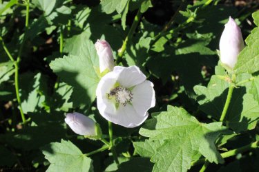
Had a few Hollyhocks blooming.
View across to the area that I will be hiking tomorrow.
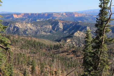
Mollies Nipple off to the south
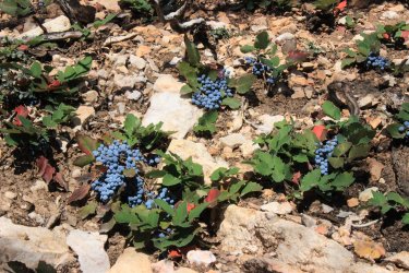
I came across this incredible plot of Oregon Grapes. I can attest that these things are not edible.
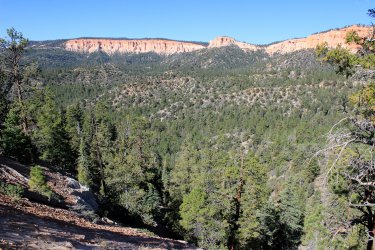
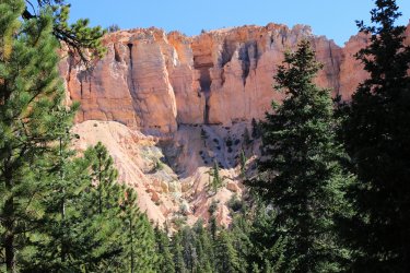
Finally worked my way around to the southern reaches of the rampart that is Bryce Canyon NP. I will now be hiking in and around this area. Exiting along yonder cliffs.
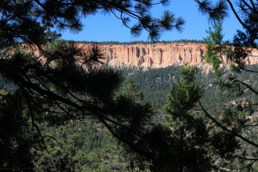
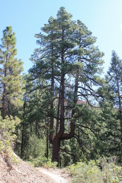
Three siblings who decided they wanted to be there own.....tree.
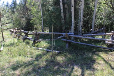
Riggs Spring. It feels like each generation adds a circle of fence. Was like a puzzle trying to get into the dribble of a spring.
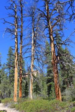
I should say that mentally I was much more on my game on this trip. I had my trekking poles and I was comfortably having my adventure. Had some spring in my step!
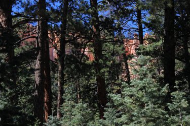
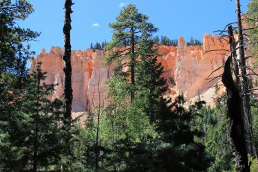
Oh, the soft colors.
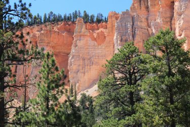
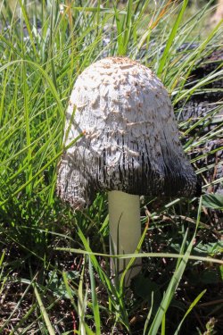
Nice mushroom thingy
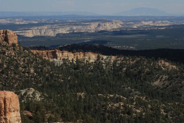
Mollies Nipple
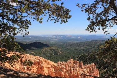
Upper Paria River with Navajo Mountain
I went back to the same camping location as the prior week. This time I cowboy camped under the stars. I probably was more comfortable but it still didn't lead to much sleep. I laid watching the moon, then the stars, with the Milky Way. Trying not to hear the mice running around the body of my car. Them there were the coyotes. Then a probably elk clomping around near by. Geesh......nature.
I set off on a frigid morning for a probably 15 mile day. Originally it was to be 18.5 miles but by cutting out beyond Yellow Creek it got down to 12.5 miles. Then I had a second chance at the Swamp Canyon segment that I did not do the previous week. I was certain that I would capture that section!
A family of turkey having an early morning meal
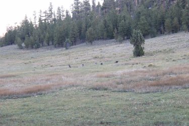
Love that early morning light
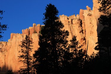
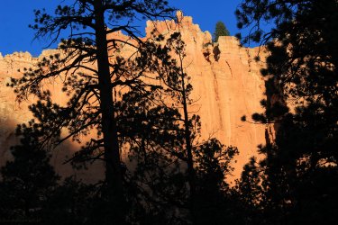
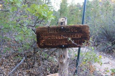
They had some nice signage for a National Park
The first ridge I had to go up and over was a bit of a mess. Wasn't sure if the trail followed the water runoff drainage or it the water hijacked the trail.
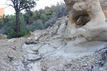
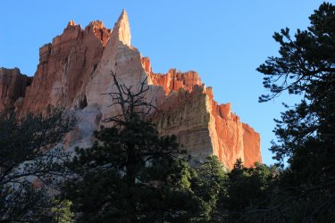
Another ridge line that had more than its share of sand. Looking south. The direction just traveled.
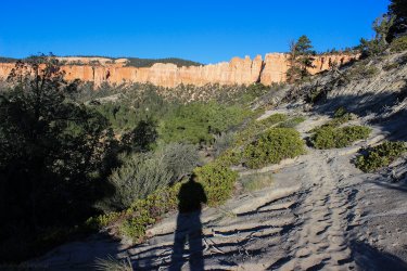
That is a zoomed in Rainbow Point.
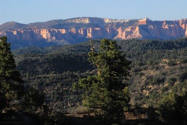
The Swamp Canyon area. I was certain that I would get in there at days in!!!
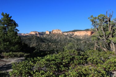
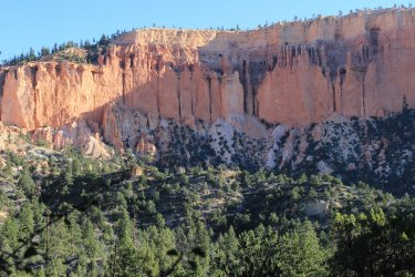
In this lighting I felt that looked like castles affixed to the cliffs. Ancient ruins.
This section of trail had a couple pretty intense ups.
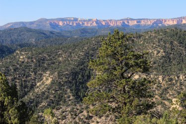
But quite expansive views. This is a series of shots panning from the southern edge along the entire cliff face of Bryce Canyon National Park. This trip report covers all of it.
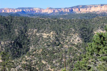
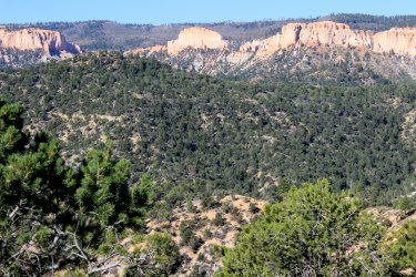
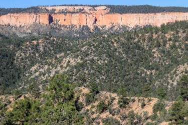
After I rounded the previous viewpoint I dropped around that corner and entered what felt like "new" territory. Excited to get to the next ridge line. I am not sure what I will see.
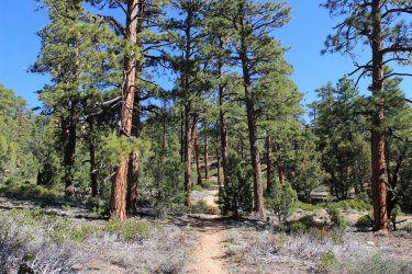
I was surprised by how expansive the view was when it was reached. I had it in my head that I HAD to drop down to the creek in order to experience that area. I instantly wondered "do I have to drop down to the creek only to turn around and climb back up?"
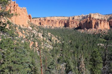
But down I went! Looking across the ridge, these are the cliffs that can be seen above the Hat Shop.
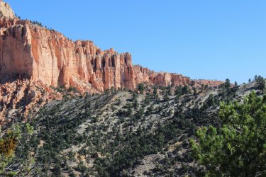
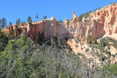
I thought I could hear water, but water IS NOT a part of the Bryce Canyon experience. I could also hear kids playing at the campsite. "Is there really water down here?"
Yellow Creek
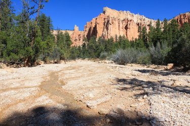
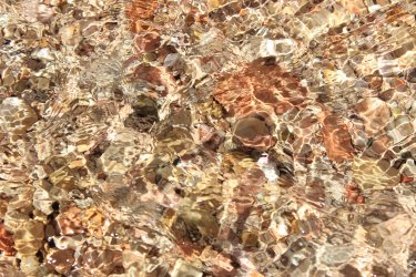
I was completely in awe. Water.......flowing......in Bryce Canyon. It was as if I had stumbled upon a Unicorn.
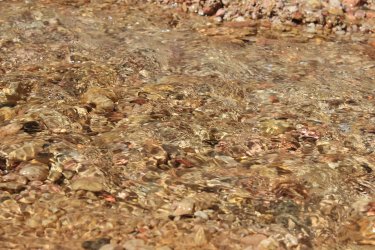
In hindsight I don't think I even touch it. It was liquid gold. It was sacred manna from the heavens. Fountain of youth stuff.
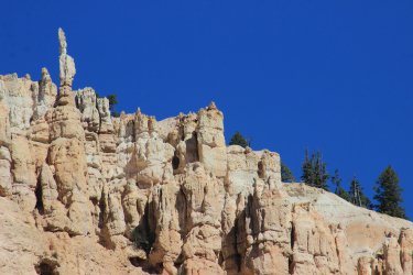
All the way dropping into Yellow Creek I kept looking at this cliff. Wondering if that was a stand alone column. I got an angle with some shadow and I am fairly sure it is a column.
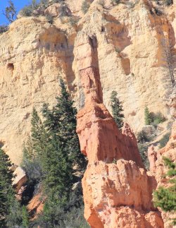
Pretty big column
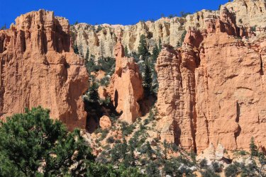
Making my way back!!! I tested out my umbrella to help with the sun. It also had the extra benefit of capturing what little breeze there was.
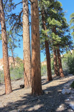
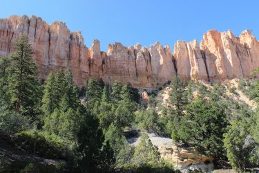
I eventually reached this sign. By this time I was once again......whipped....gassed. And I still had the climb up to my car. There seemed to be an initial climb up to enter that 1.5 mile (3 mile round trip) section of Swamp Canyon. I blew it off.........AGAIN.
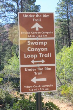
Sitting here at my computer I can't tell you why I didn't capture that section of trail. At the time I just wanted nothing to do with it.
The orange glow on the cliff to the right.
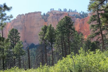
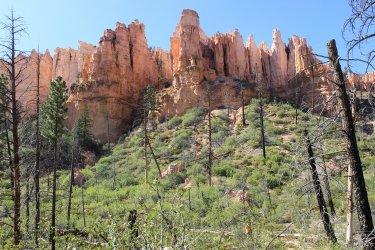
Just look at those soft colors. My Lord.
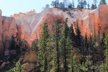
Got to love the tenacity of trees.
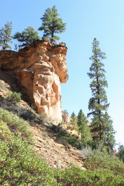
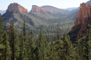
As I inched my way up to the road I looked across to this and dropped to the ground. This shot is across the brunt of that missing 1.5 miles of trail. It has to be the most photographed section of trail that I have NOT hiked.
I know that if I made another trip to Bryce Canyon I could hike two of the three blanks on the map. I freely admit that part of my motivation is being able to mark on a map that I had hiked a trail. I am an Accountant so that type of documentation does have meaning to me......personally. But the photos taken and memories also play in the motivation. I don't think there are many photos along these routes to justify the physical effort, time and another sleepless night on the ground. Which means.......I will probably do it some day. Thanks everyone for following along.
There are 32 miles of trails "Under The Rim" in Bryce Canyon National Park. There are ten campsites along the way. Permits are required for overnights and obtained at the Visitors Center. The logistics of a through hike have eluded me, especially the past couple years. With the shuttle not running to Rainbow Point due to Covid and staffing. It seems like two vehicles would be a must. The newspaper is adamant that "no hitchhiking is allowed" so you would have to be less obvious to apply that option. There are four connector trails which allows for segmenting the longer trail.
This maps shows the route and the segments that I hiked. During the course of the narrative I will discuss the three gaps.

In October 2020, as part of a day trip to Bryce I hiked the two miles down from Bryce Point to the "Hat Shop". If I had known I was going to grow the Under The Rim Trail into a project I would have focused more on getting past The Hat Shop so as to fill in the upper gap on the map.
From Bryce Point the trail meanders across the knoll/ridge.

The view off to the northeast.

It was a persistent, but relatively pleasant, 1,500 foot drop down to the Hat Shop


The Hat Shop


This is a view over to the Yellow Creek area I got to a year later. There is a 3 mile trailed gap between the Hat Shop and Yellow Creek. Yellow Creek runs through the valley on the other side of that high ridge. It would be a segment of trail that would be easy enough to pick up on another day hike from Bryce Point, but it would essentially be a walk through the forest and within the drainage. No different cliffs would be viewable. Maybe I'll bag that section some day.


View across the grand expanse to the east. You can just see Navajo Mountain.

Jump ahead to Sept. 2021. I had just come off my Glacier NP high so I wasn't ready to lock myself up for the winter. I thought about the Under The Rim Trail in Bryce. I have shown a willingness to overnight in my car. I felt that by spending three night in the car I could day hike all the sections of the trail in one trip. So I packed up the pizza and went to Bryce with this aggressive 54 mile plan.
I got to Rainbow Point just before sunrise. This initial day I would hike from Rainbow Point north to the Agua Canyon Connector Trail which I had done back in 2009.

I got up at something like 3:30 A.M. so that I could make the drive and see the suns first kiss on the rampart that is southern Bryce Canyon.


I am thinking that this a bear cub paw?


Every drainage that is cross is at some level of blown out.

Towering Ponderosa Pines. Truly a nice area to mosey through.

Beautiful stand of Aspens near Iron Spring. Both a campsite and natural spring.

Looking back towards Rainbow Point

A random complex of rock. I believe that my turn around point is the top of the next ridge. But don't quote me on that.

This was kind of tricky. The rock cairn inferred that you walk across this initial log. But that sure does look like a weak spot over an eight foot drop. I found a weak spot upstream then walked downstream to find another weak spot out of it.


View to the north from the Aqua Canyon Connector junction.

I zoomed in on Navajo Bridge that you drive by on the road.

View to the south across the area that I had just covered.

My plans called for me to hike back up to this point on day two from the north. I deemed that that would be a waste of energy to trudge up that hill to reach an point where I had already taken photos from. That segment is the lower broken section on the map. It is a 1.5 mile section that is in the forest with quite a bit of elevation. With this decision I felt somewhat lightened, as the miles I planned on hiking seemed rather burdensome.
I explored that random rock area.

Slowly making my way back to Rainbow Point.


View north. I could try to connect all the pieces of this project but I have learned that it is easier to just say......I hiked all the way along these ramparts on various segments of my hikes.


I was so wiped out from this day. It was 12 miles which wasn't particularly long compared to one of my planned days but the elevation gain and lost, and the heat almost stopped the project. Mentally or physically I wasn't in the right place for the commitment required. I almost got in the car and drove the 2.5 hours home, but I felt I should at least test out my new arrangement in my car. To see if it was more comfortable and provided some sleep. Plus......it has been ages since seeing the sunrise over Bryce Canyon.
So I drove into Dixie National Forest and found me a nice spot to spend the night. I had given up on spending three nights out......sadness.

I spent the night excited for the sunrise but I didn't completely give up on a possible hike the next day. Spending a night in the car allows for two days of hiking with only one drive to the park. If I could manage a hike on day two it didn't Completely end this Under The Rim Project. I was more comfortable in the car but it still didn't lead to much sleep. Argh.
Sunrise Point with dozens of other folks


I set off on the Whiteman Connector Trail for a hike to the south toward the area I had been yesterday. This day would only be 8 miles as I had made the decision the prior day to not trudge up through the forest to the Aqua Canyon Connector Trail junction.
A forest fire has blown across this Whiteman Bench.


Heading south on the Under The Rim Trail I love the hard edge that cliff face.


This section of trail cuts across the corner of National Forest land. It would be easy enough to bypass the National Park Service camp system by steering off into the National Forest which lies just east of the park and trail. I don't backpack so I am not speaking to the rightness or wrongness of doing this but on the surface it feels like an option. I assume some level of bushwhacking would be needed as there wasn't a trail junction leaving the park along the lower 2/3rd of the Under The Rim Trail.

This is where this day got a bit crazy. My turn around goal was the Navajo Bridge Campsite. If I could get below the bridge I felt like that would be a worthy photo to get. Well.....I spotted this bridge and got all excited.

Even though I hadn't been hiking long enough I got it in my head that I was close to my turn around point. "There is the Natural Bridge!!" So I internally discussed turning around but......feeling as if the campsite was just around the bend or over the next hill,,,,,,I hiked on. In retrospect I have to laugh, as I think I ended up being a couple passes and an hour away from any campsite which was in such deep woods that any view of THE Natural Bridge.....did not exist.
There was a pass that was a huge sand dune. Quite unexpected and odd. I tried to capture the sand "flows" across the trail.

Love these huge trees, be they alive or be they dead.

Proof I got to the campsite. Quite a large healthy stand of Pondos


To psyched myself up for the return trip I just said "I have three up climbs. Oh my! One at a time." A better shot of the sand dune pass.

A conglomerate of smalls in the pink slurry of Bryce Canyon.

Today's hike came down that valley.

This shot encapsulates the Under The Rim Trail. Occasional views through the forest of the pink cliffs.


This is now the scene of my one regret. That I did not have the drive to complete this 1.5 mile section of trail down Swamp Canyon. That is 3 miles round trip. It is right at the junction with the Whiteman Connector Trail. I had the daylight before I set off to drive home. It looked unique because there are cliffs on both sides. I even sat on the rim gazing off to the north reaches of the Under The Rim Trail for quite a long time. BUT I could not get it out of my head that the trail seemed to DROP like a stone into the canyon which I would only have to come back up.....and I still had a mile climb up to the road in the godforsaken heat of the day with only rocks for shade. I told myself that I could be satisfied with these photos.
The lost section of trail from the south end

I made my way home, sort of, beaten. I had no expectations of when I would return to Bryce Canyon. Talking to boys about how the car camping went I brought up the sleeping bag that Scott had left for me. "Maybe I can utilize that somehow." He stated that he wondered why I didn't just cowboy camp instead of trying to somehow make the trunk of my car work. I started looking at my maps. One of the remaining hikes was an 18 mile day. I critically looked at the route to assess if I could somehow shorten it. That section between Yellow Creek and the Hat Shop suddenly became unnecessary as it accounted for 6 miles but really no exciting terrain or views. Thus, a week later I grabbed the sleeping bag and headed for Bryce Canyon again.
This view is down upon the Riggs Springs Trail from Yovimpa Pt. It is a 9 mile loop trail on the very southern end of the park.

Had a few Hollyhocks blooming.

View across to the area that I will be hiking tomorrow.

Mollies Nipple off to the south

I came across this incredible plot of Oregon Grapes. I can attest that these things are not edible.

Finally worked my way around to the southern reaches of the rampart that is Bryce Canyon NP. I will now be hiking in and around this area. Exiting along yonder cliffs.


Three siblings who decided they wanted to be there own.....tree.


Riggs Spring. It feels like each generation adds a circle of fence. Was like a puzzle trying to get into the dribble of a spring.


I should say that mentally I was much more on my game on this trip. I had my trekking poles and I was comfortably having my adventure. Had some spring in my step!


Oh, the soft colors.

Nice mushroom thingy

Mollies Nipple

Upper Paria River with Navajo Mountain

I went back to the same camping location as the prior week. This time I cowboy camped under the stars. I probably was more comfortable but it still didn't lead to much sleep. I laid watching the moon, then the stars, with the Milky Way. Trying not to hear the mice running around the body of my car. Them there were the coyotes. Then a probably elk clomping around near by. Geesh......nature.
I set off on a frigid morning for a probably 15 mile day. Originally it was to be 18.5 miles but by cutting out beyond Yellow Creek it got down to 12.5 miles. Then I had a second chance at the Swamp Canyon segment that I did not do the previous week. I was certain that I would capture that section!
A family of turkey having an early morning meal

Love that early morning light


They had some nice signage for a National Park

The first ridge I had to go up and over was a bit of a mess. Wasn't sure if the trail followed the water runoff drainage or it the water hijacked the trail.


Another ridge line that had more than its share of sand. Looking south. The direction just traveled.

That is a zoomed in Rainbow Point.

The Swamp Canyon area. I was certain that I would get in there at days in!!!


In this lighting I felt that looked like castles affixed to the cliffs. Ancient ruins.

This section of trail had a couple pretty intense ups.

But quite expansive views. This is a series of shots panning from the southern edge along the entire cliff face of Bryce Canyon National Park. This trip report covers all of it.


After I rounded the previous viewpoint I dropped around that corner and entered what felt like "new" territory. Excited to get to the next ridge line. I am not sure what I will see.

I was surprised by how expansive the view was when it was reached. I had it in my head that I HAD to drop down to the creek in order to experience that area. I instantly wondered "do I have to drop down to the creek only to turn around and climb back up?"

But down I went! Looking across the ridge, these are the cliffs that can be seen above the Hat Shop.


I thought I could hear water, but water IS NOT a part of the Bryce Canyon experience. I could also hear kids playing at the campsite. "Is there really water down here?"
Yellow Creek

I was completely in awe. Water.......flowing......in Bryce Canyon. It was as if I had stumbled upon a Unicorn.

In hindsight I don't think I even touch it. It was liquid gold. It was sacred manna from the heavens. Fountain of youth stuff.


All the way dropping into Yellow Creek I kept looking at this cliff. Wondering if that was a stand alone column. I got an angle with some shadow and I am fairly sure it is a column.

Pretty big column

Making my way back!!! I tested out my umbrella to help with the sun. It also had the extra benefit of capturing what little breeze there was.


I eventually reached this sign. By this time I was once again......whipped....gassed. And I still had the climb up to my car. There seemed to be an initial climb up to enter that 1.5 mile (3 mile round trip) section of Swamp Canyon. I blew it off.........AGAIN.

Sitting here at my computer I can't tell you why I didn't capture that section of trail. At the time I just wanted nothing to do with it.
The orange glow on the cliff to the right.


Just look at those soft colors. My Lord.

Got to love the tenacity of trees.

As I inched my way up to the road I looked across to this and dropped to the ground. This shot is across the brunt of that missing 1.5 miles of trail. It has to be the most photographed section of trail that I have NOT hiked.

I know that if I made another trip to Bryce Canyon I could hike two of the three blanks on the map. I freely admit that part of my motivation is being able to mark on a map that I had hiked a trail. I am an Accountant so that type of documentation does have meaning to me......personally. But the photos taken and memories also play in the motivation. I don't think there are many photos along these routes to justify the physical effort, time and another sleepless night on the ground. Which means.......I will probably do it some day.
