John Goering
Member
- Joined
- Sep 30, 2014
- Messages
- 502
Saturday, my wife and I headed up the small drainage north of the house to its headwater and then looped back down the divide on the two drainages to the south. Very windy, cloudy day but 50 something degrees. The first half to 3/4 mile was on logging road but all the remainder was off-trail.
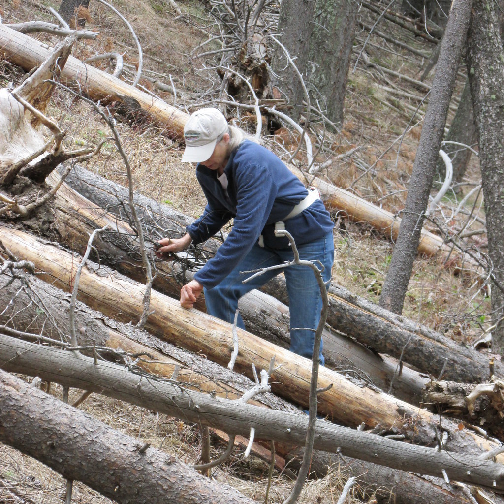
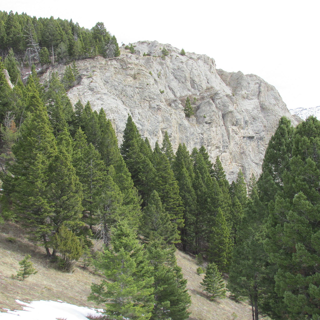
My wife in Watts Creek. The mountain pine beetles made this reach a bit interesting. In a normal year, all the deadfall would still be buried under at least 2 to 3' of snow.
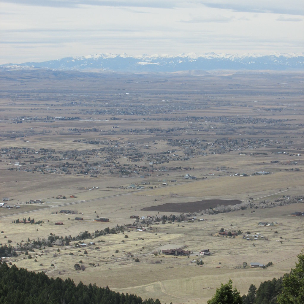
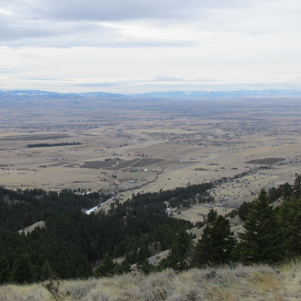
Looking out at the Gallatin Valley from about half way up Watts Creek. Forest Service Middle Cottonwood Creek access road lower left, Tobacco Root Mountains in the distance.
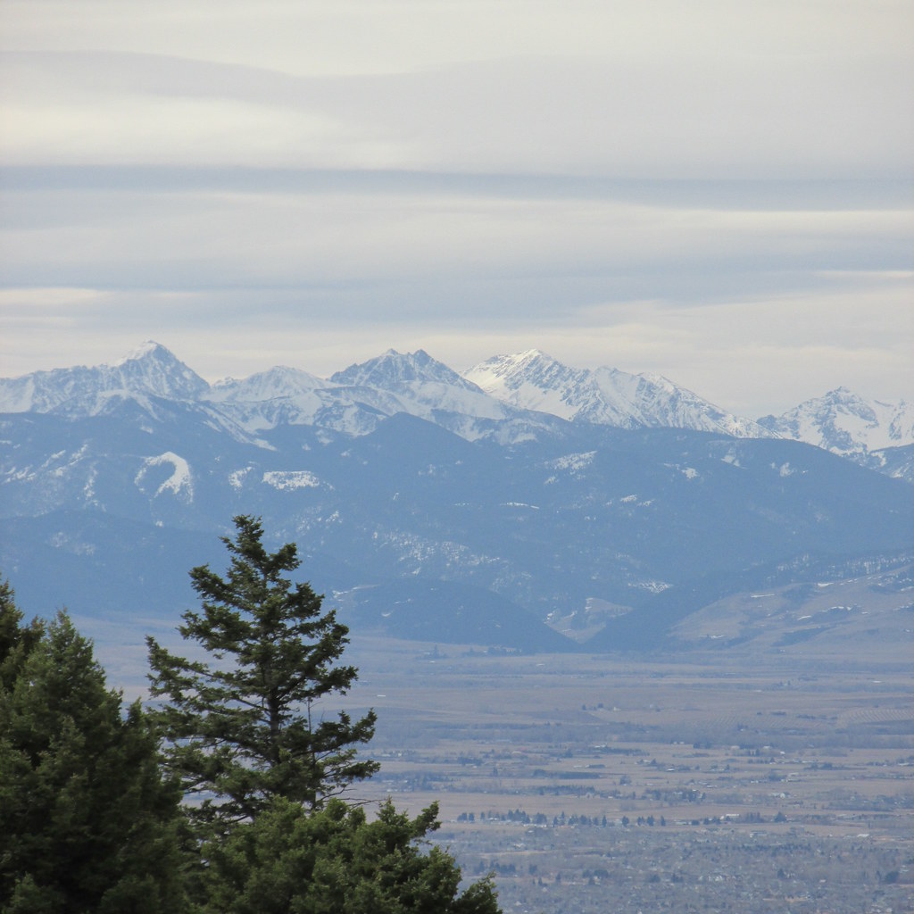
View to south from same point. Spanish Peaks, north end of the Madison Range.
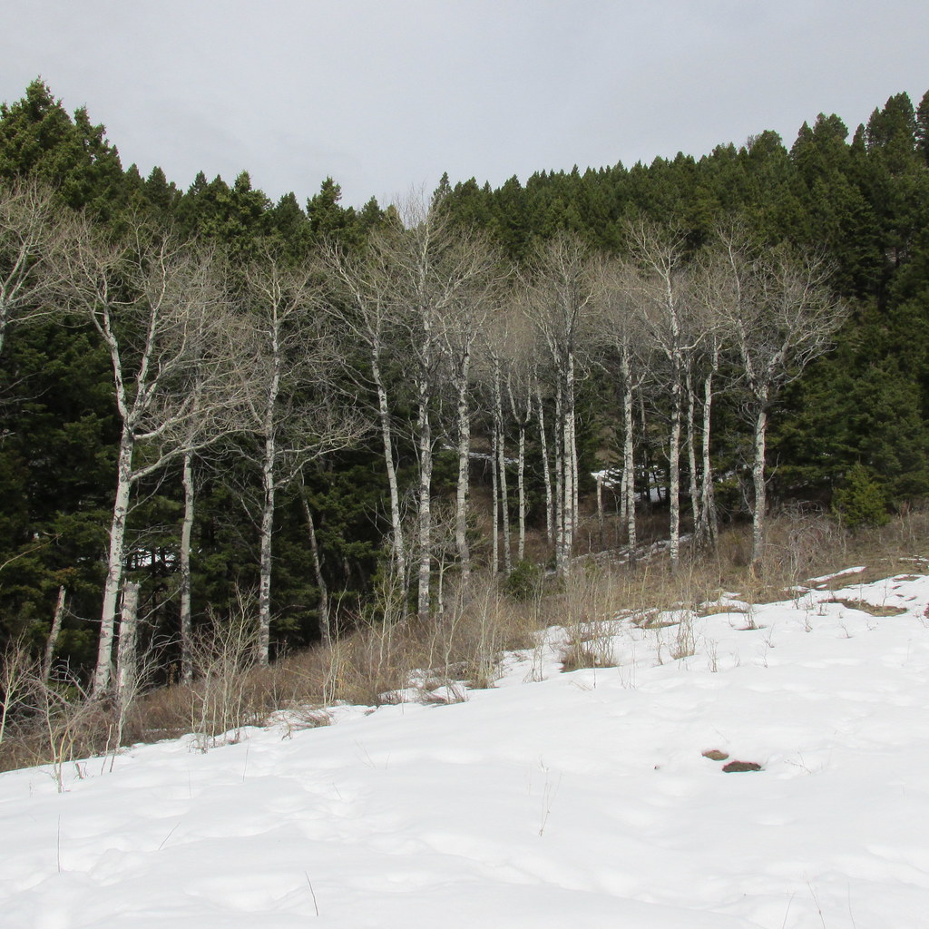
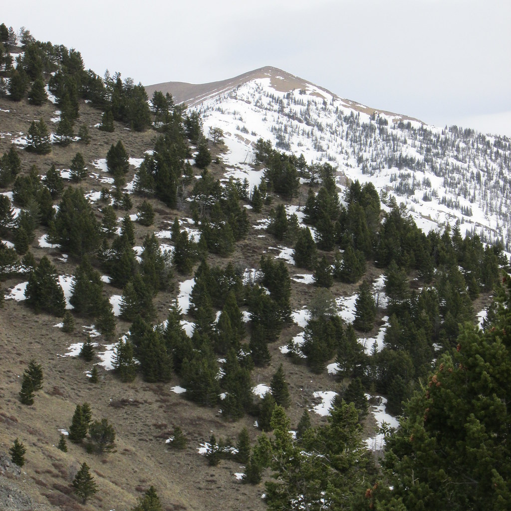
Near the top of Watts Creek. There should be 4' of snow here.
A couple views from the same place as above.
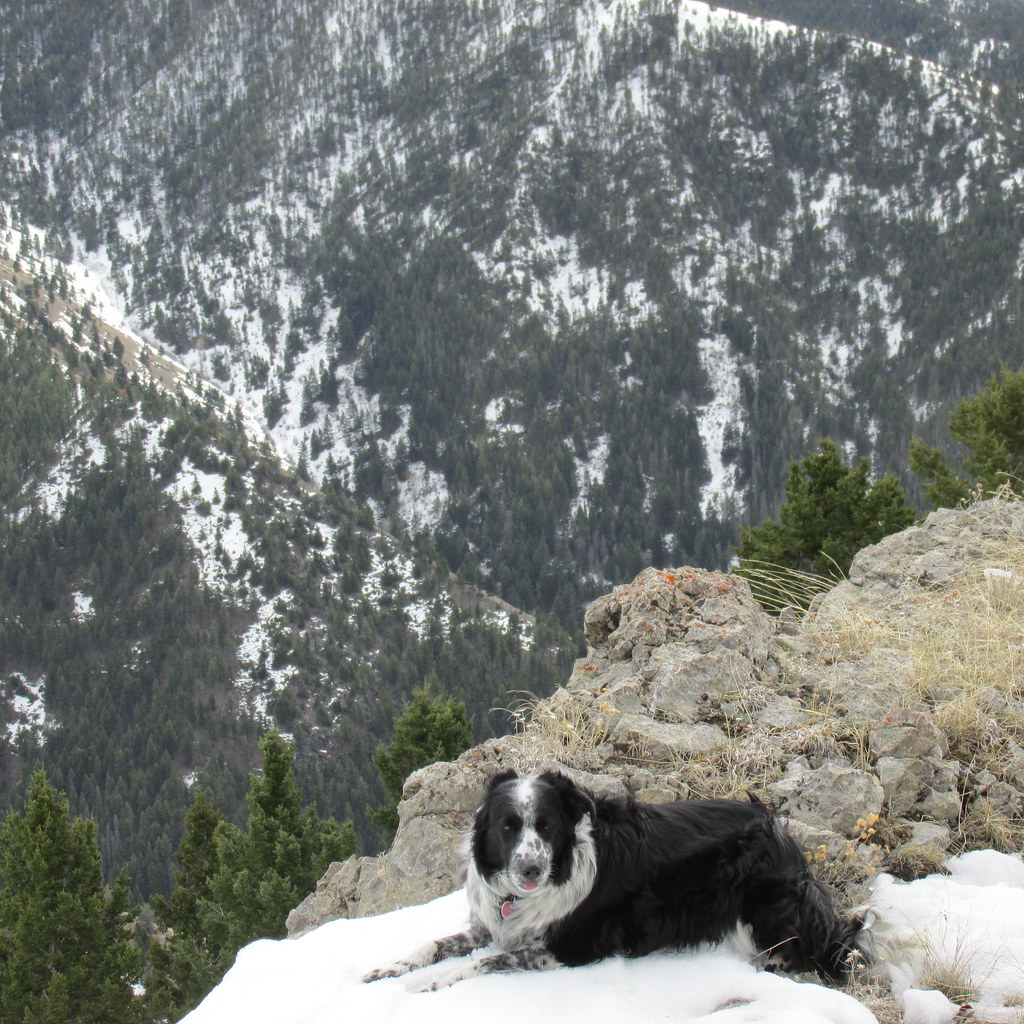
The thread "kid" photo.
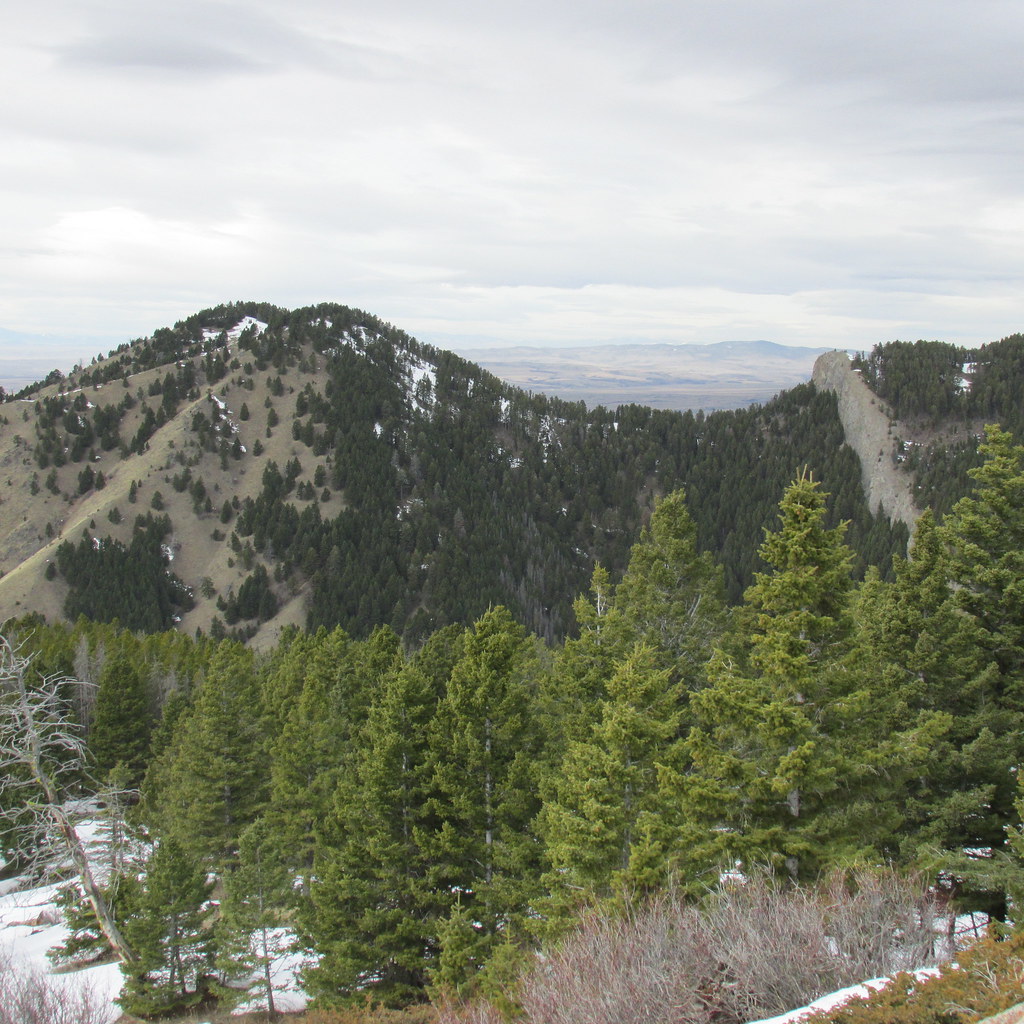
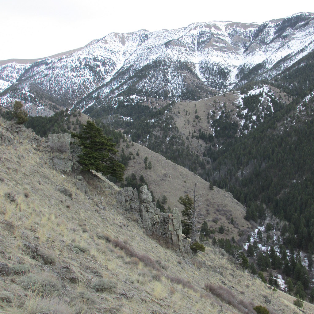
We ended up turning around on the rocky knob above the cliffs-barely getting into any snow. View to east into the upper end of Middle Cottonwood Creek. Rocking bump in ridge line is Bridger Peak.
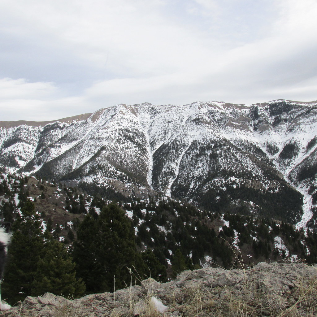
Saddle Peak from same place-Bridger Bowl Ski Area just to left of Saddle on the other side of the ridge.
View out to valley on our exit. Our place in foreground.
Looking back at Middle Cottonwood Creek.
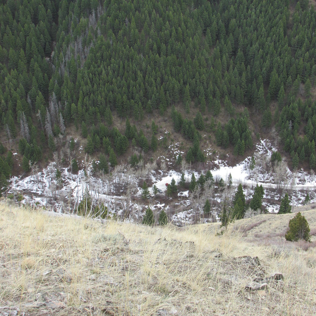
Looking down at the FS trailhead parking lot. Only 4 vehicles. Normally, this would all be white.
We got back to the house at about 5:30. A little more sunshine and it would have been a perfect day.
Featured image for home page:

My wife in Watts Creek. The mountain pine beetles made this reach a bit interesting. In a normal year, all the deadfall would still be buried under at least 2 to 3' of snow.
Looking out at the Gallatin Valley from about half way up Watts Creek. Forest Service Middle Cottonwood Creek access road lower left, Tobacco Root Mountains in the distance.
View to south from same point. Spanish Peaks, north end of the Madison Range.
Near the top of Watts Creek. There should be 4' of snow here.
A couple views from the same place as above.
The thread "kid" photo.
We ended up turning around on the rocky knob above the cliffs-barely getting into any snow. View to east into the upper end of Middle Cottonwood Creek. Rocking bump in ridge line is Bridger Peak.
Saddle Peak from same place-Bridger Bowl Ski Area just to left of Saddle on the other side of the ridge.
View out to valley on our exit. Our place in foreground.
Looking back at Middle Cottonwood Creek.
Looking down at the FS trailhead parking lot. Only 4 vehicles. Normally, this would all be white.
We got back to the house at about 5:30. A little more sunshine and it would have been a perfect day.
Featured image for home page:
