Howells Outdoors
Adventure is my middle name...actually it's Keith.
- Joined
- Sep 26, 2012
- Messages
- 444
Originally on my blog: mountain-dude.blogspot.com

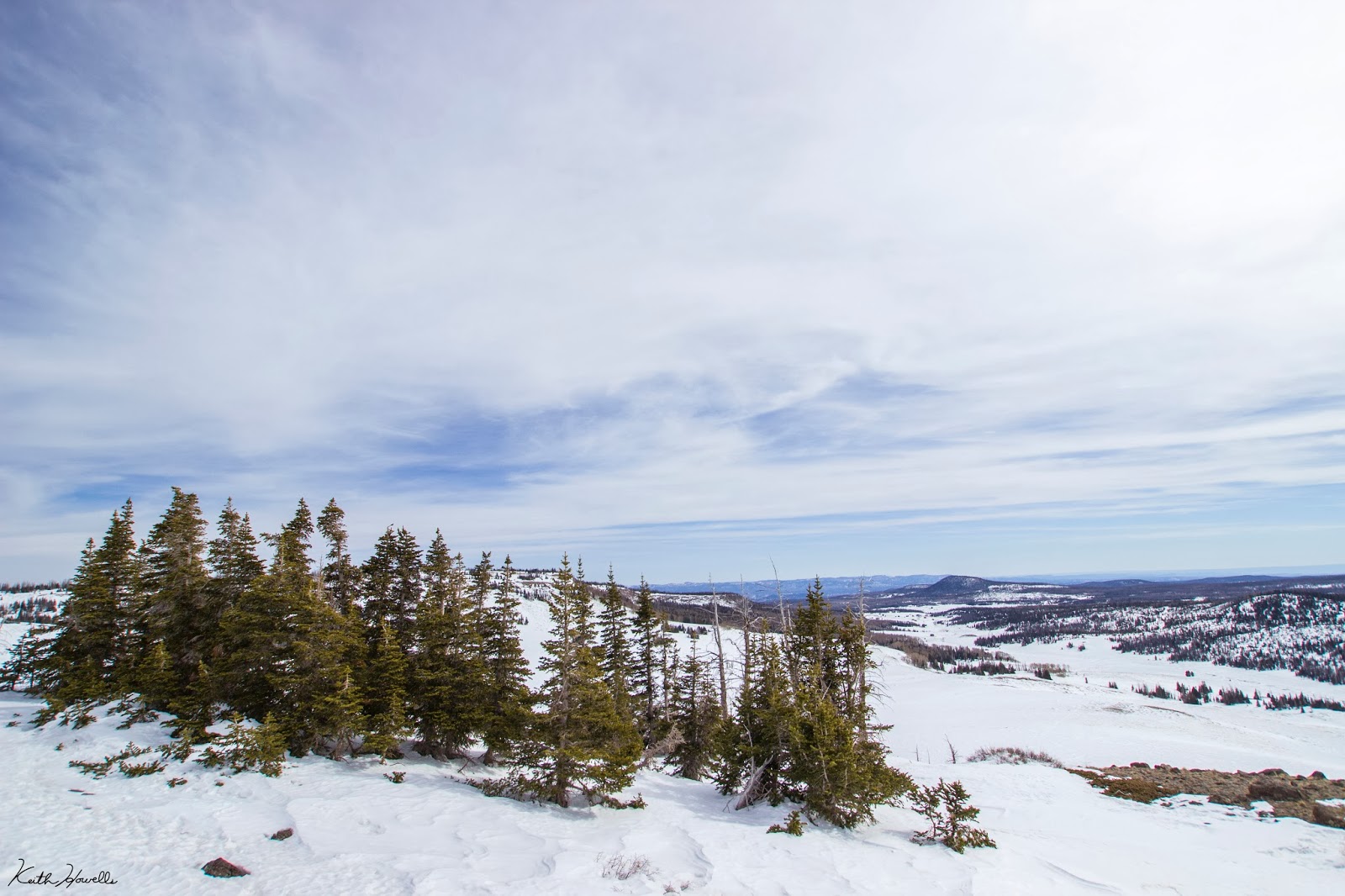
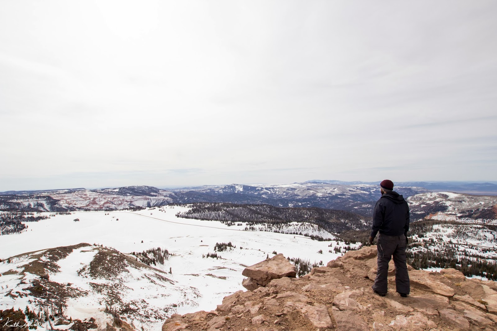
President's Day I headed up Brian Head Peak (the one in the photo above). The peak reaches to a height 11, 307 ft.; not too tall, but making it one of the highest points in southern Utah.
Such a fun hike, despite the poor snowfall this year. The plan was to hit the summit, then turn around and use the airboards to head back down.
We left Cedar City at about 10 a.m. and parked at the Rattle Snake Trailhead. This is like 500 yards further than if the Vista Point Road (the easy route up the peak) had been plowed out. Oh well.
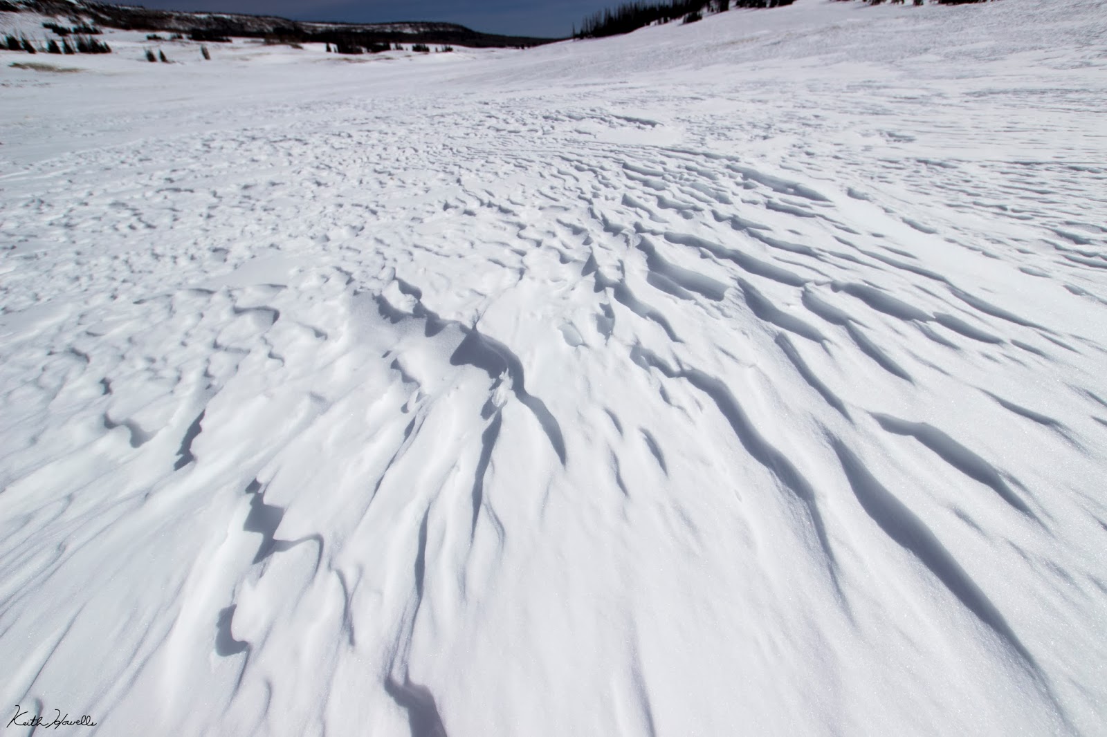
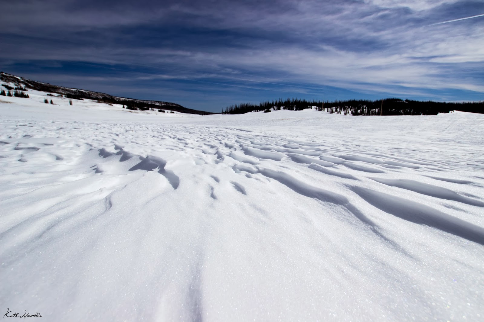
The snow wasn't that deep. A few inches in most places, but some wind blown areas were over a foot. This made the snowshoes kind of useless for floating on the snow. The main reason they were important to have was because of how icy it was.


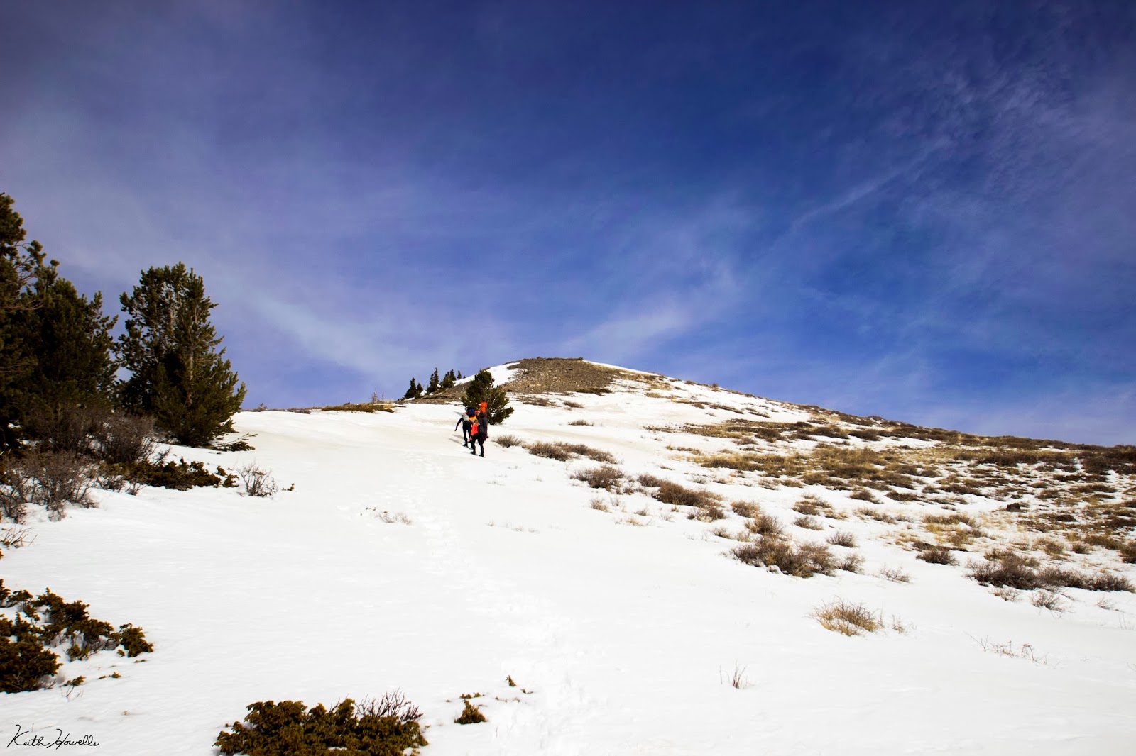
We just took straight up the south face (maybe we'll create our own clothing company called The South Face) to reach the top.


^Don't let others use your camera without telling them it's on manual focus.


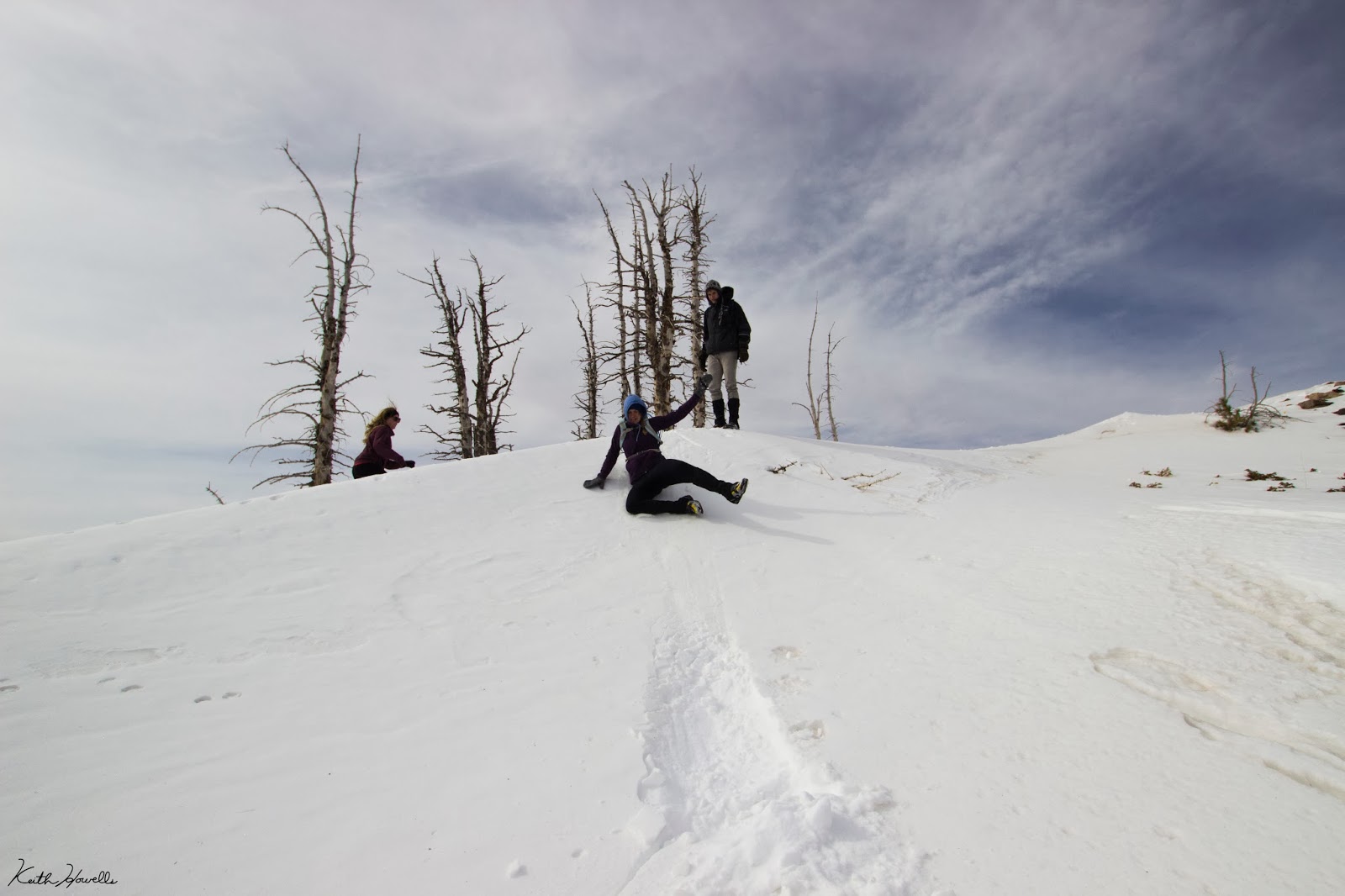
It was slow going once we hit the steep section of the trail. Well, let me rephrase that; I went slow on the steep section because I drink too much Mountain Dew.
We took the snowshoes off once we hit the rocky sections near the top. That sped the ascent up not having to trip and slip on the ice and snow.
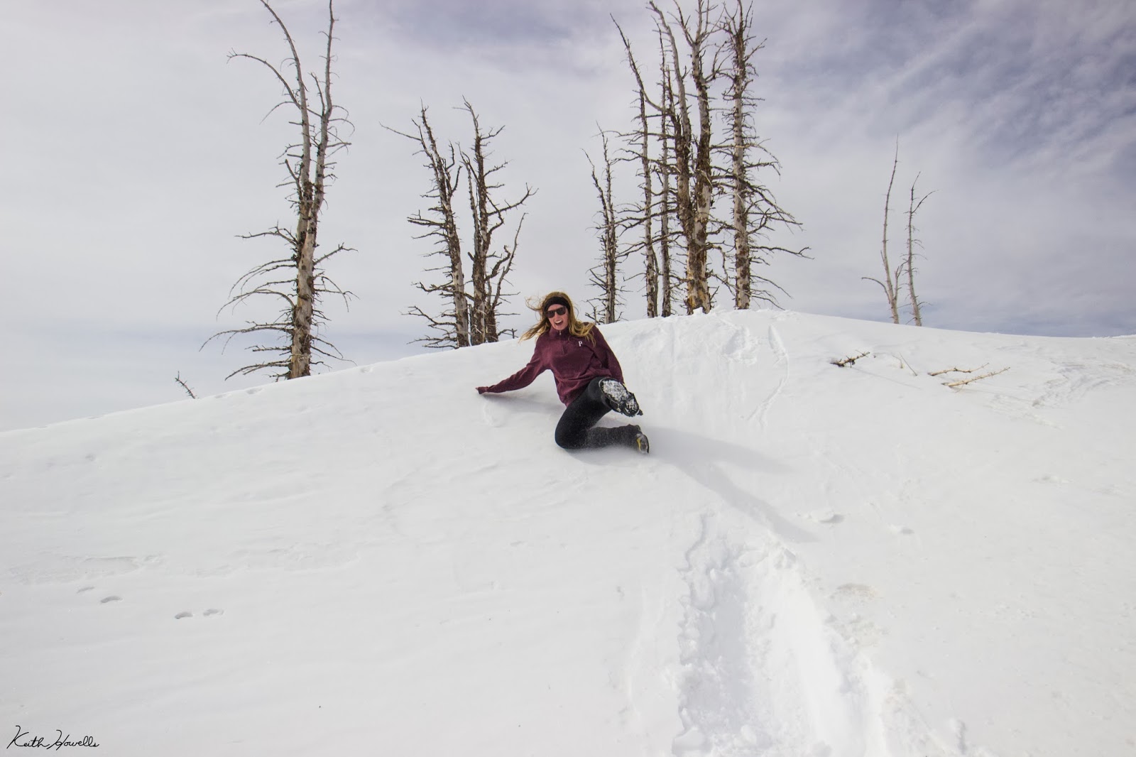
We found this awesome rock feature while heading up. I think this looks like Brian's Head. It is totally a skull coming out of the mountain. I'm naming it Brian's Skull.

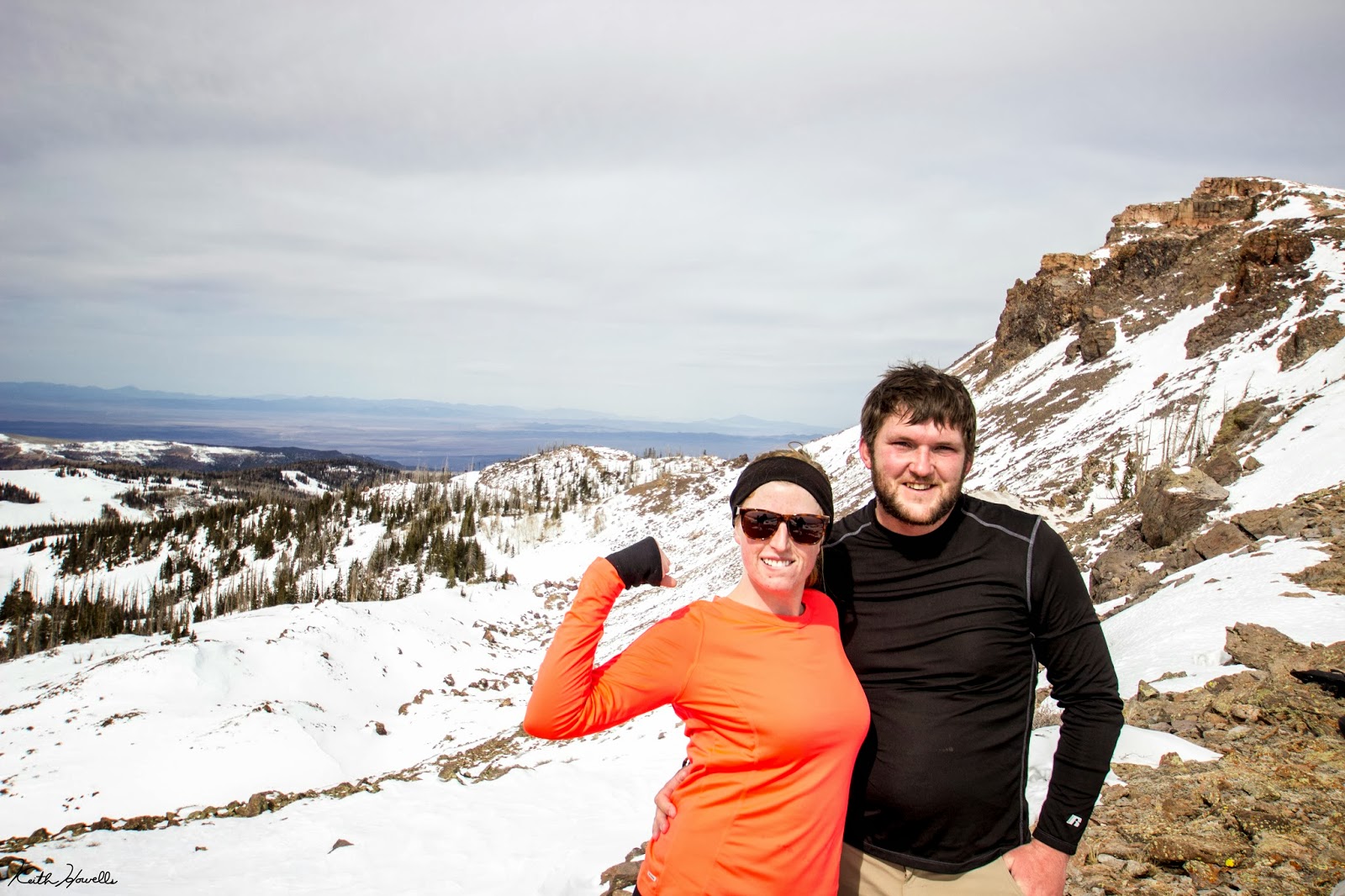
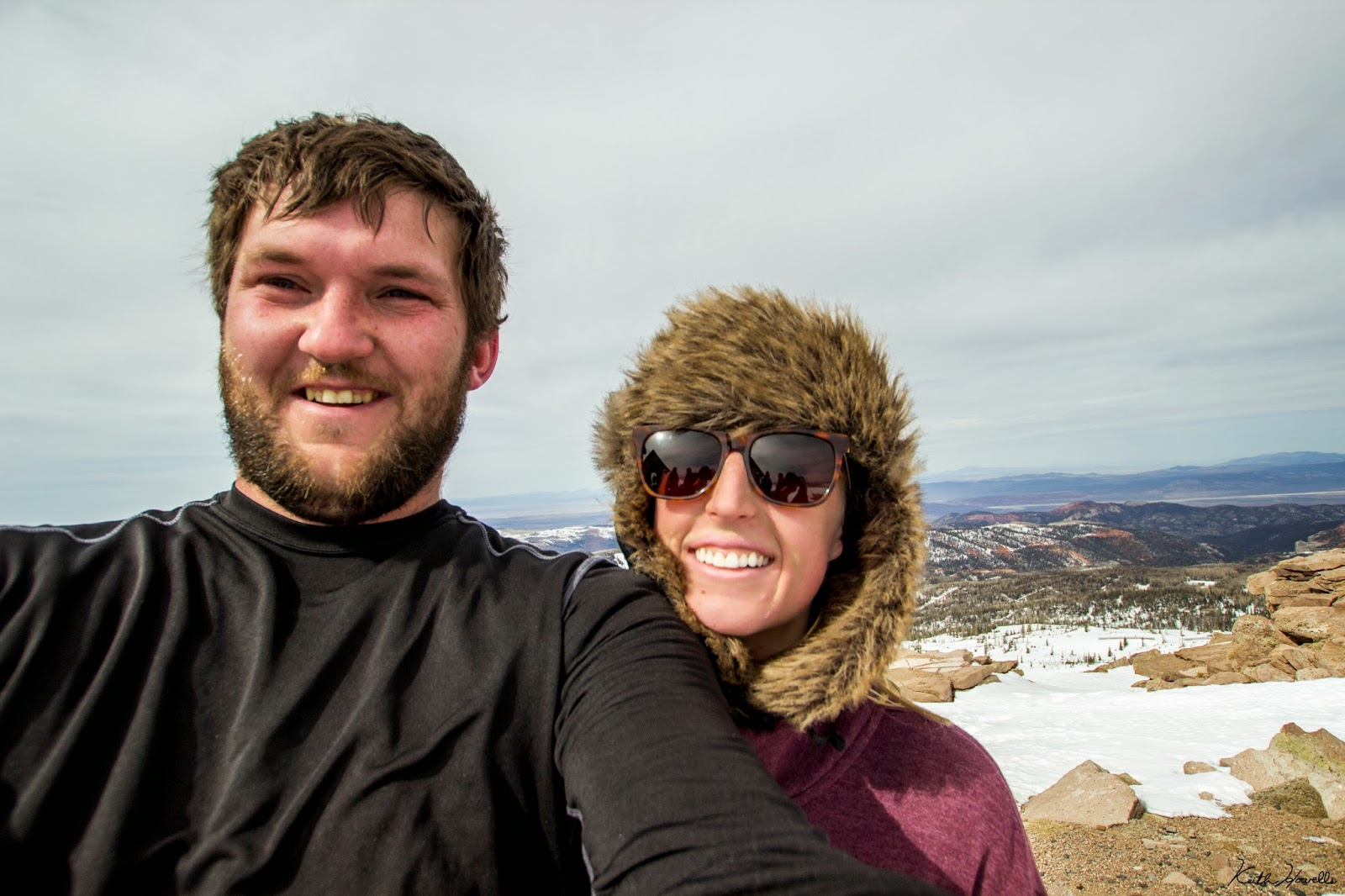
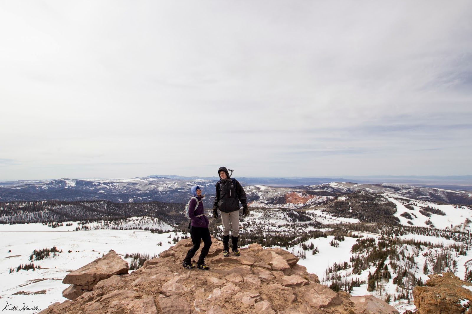
After about a 1,000 feet climb we reached the summit.

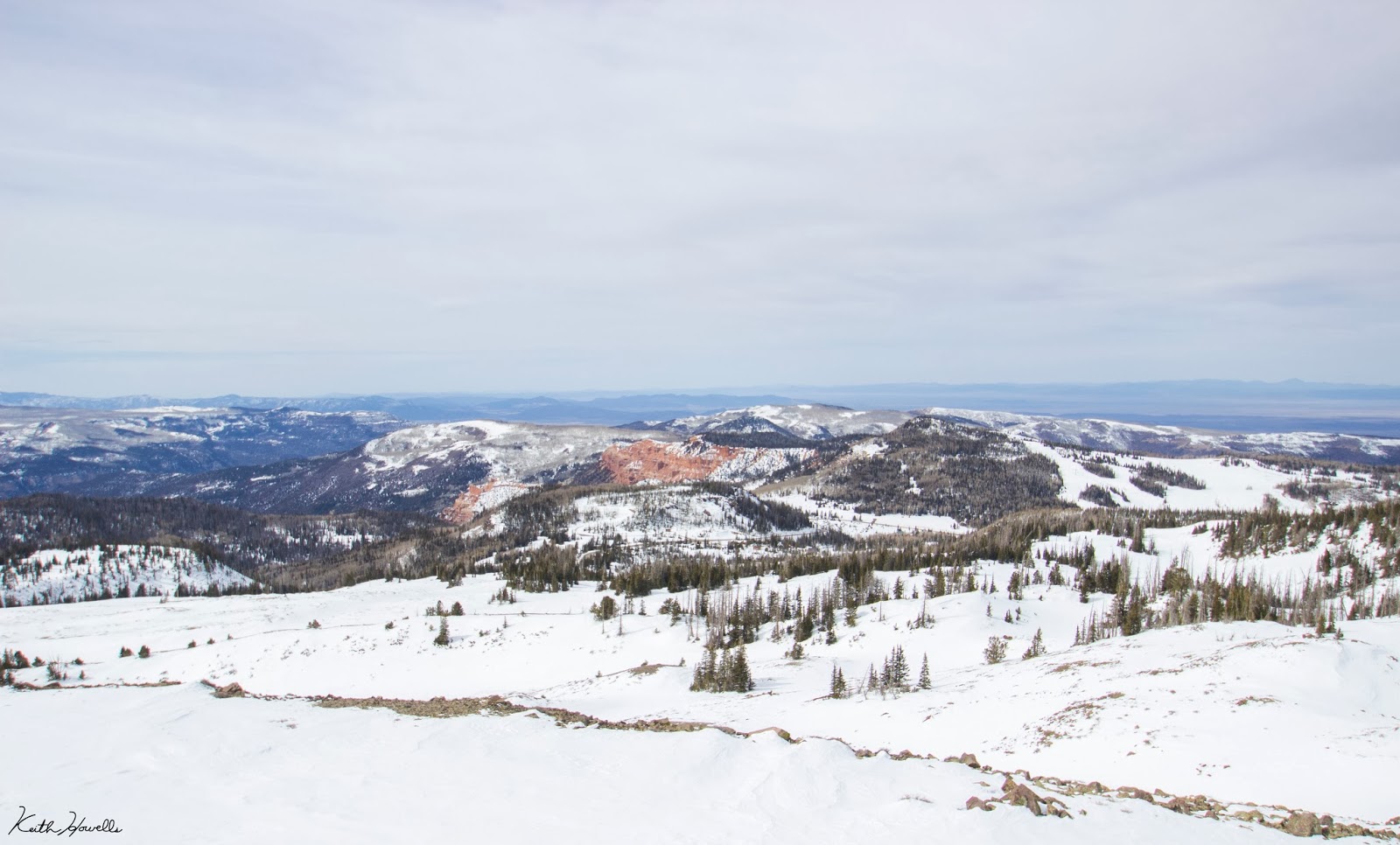
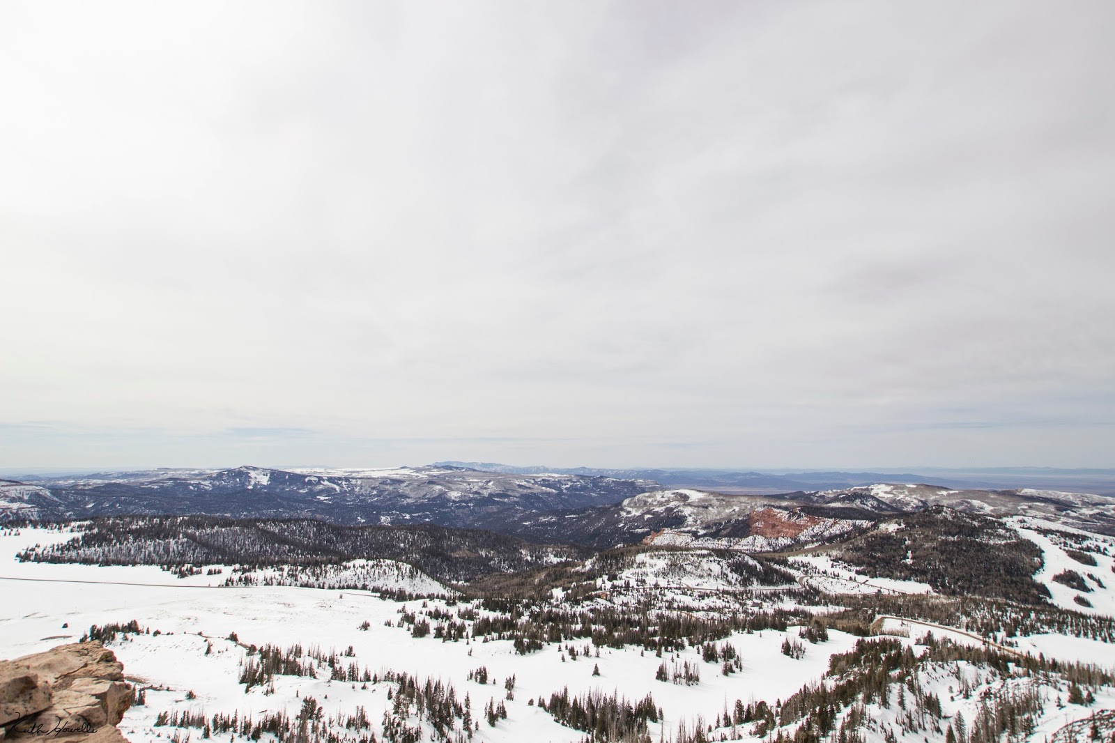
It's kind of a flat, barren area. This is looking to the north toward the Tushar Mountains (Looks like Eagle Point may have more snow than Brian Head).
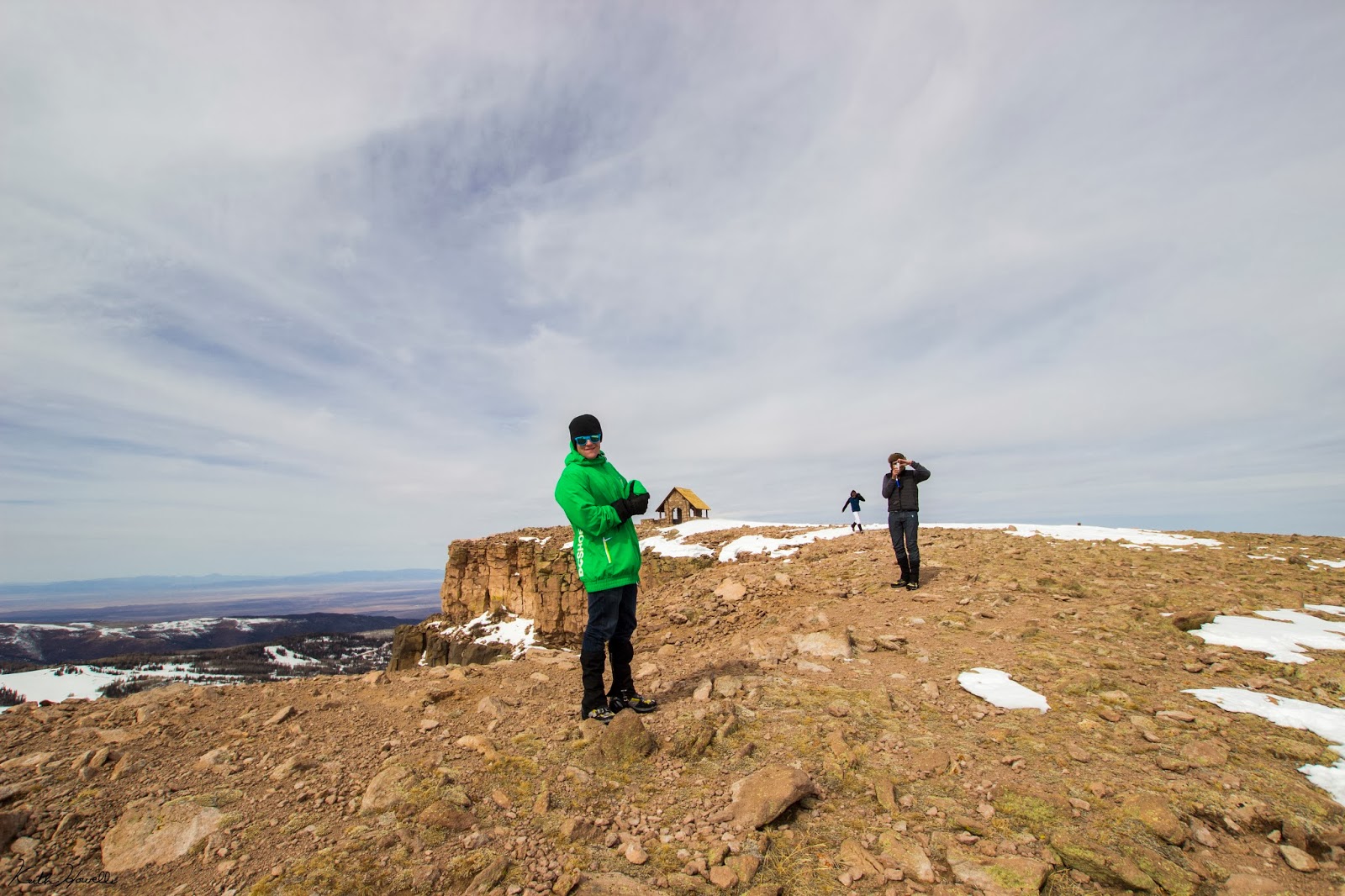
The little sign in the picture above just says the elevation, states you can see (Nevada, Arizona and Utah) and a Boy Scout Troop made the sign. In the summer you can drive up the Vista Point Road and park near the sign. There are a few mountain bike trails off of Brian Head Peak. I rode one back when i was like 14 and just remember it was awesome.
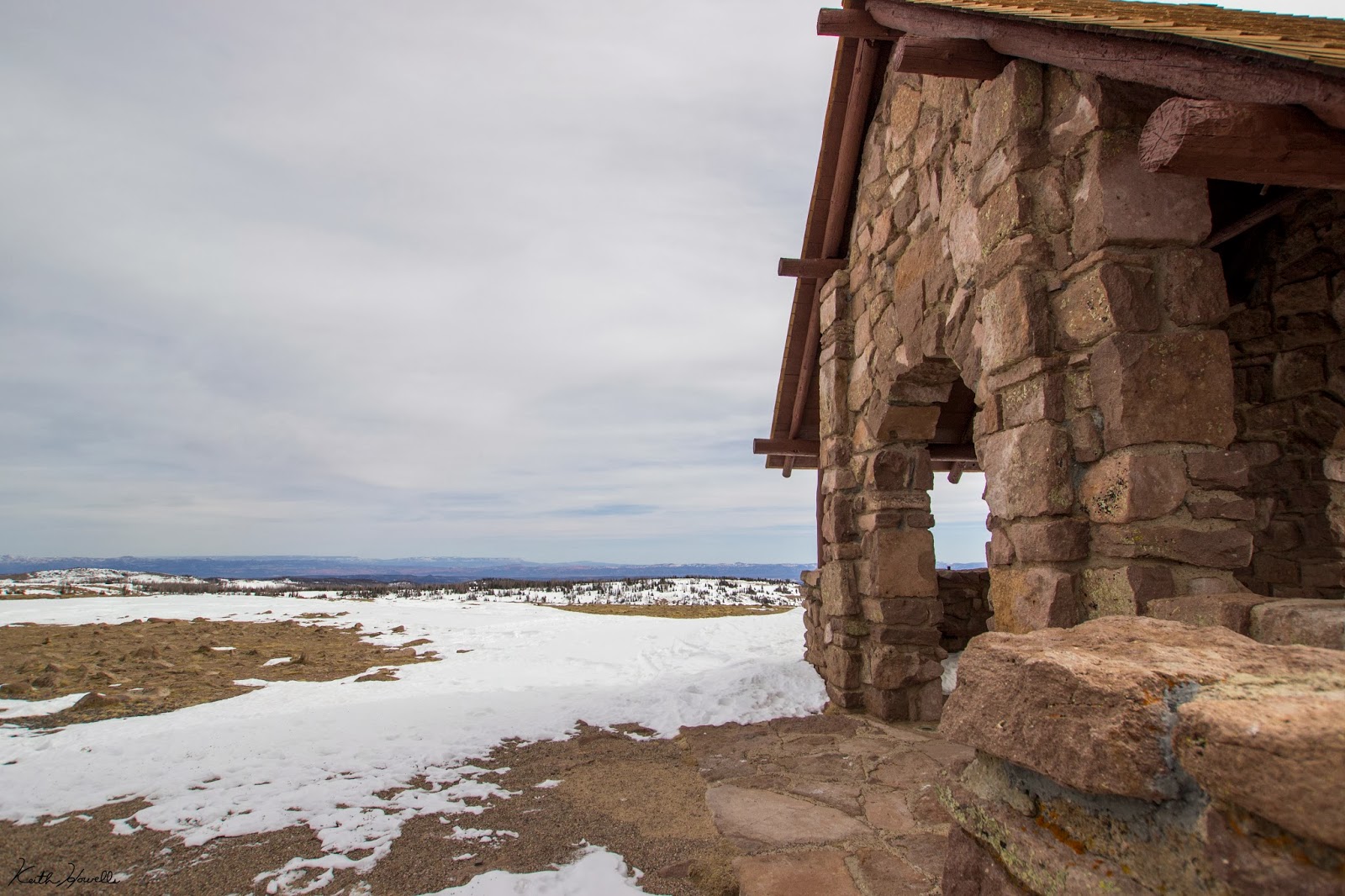
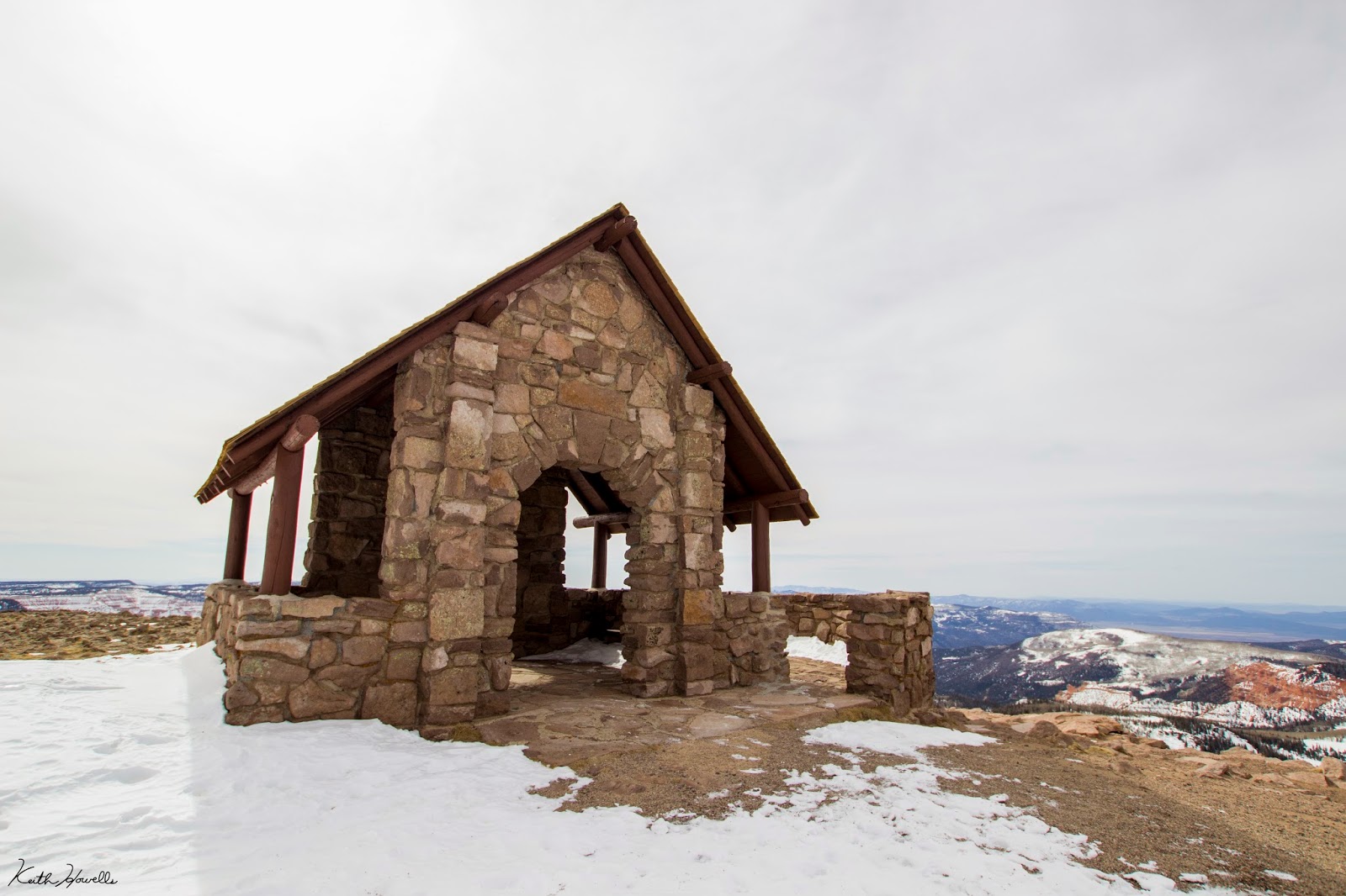
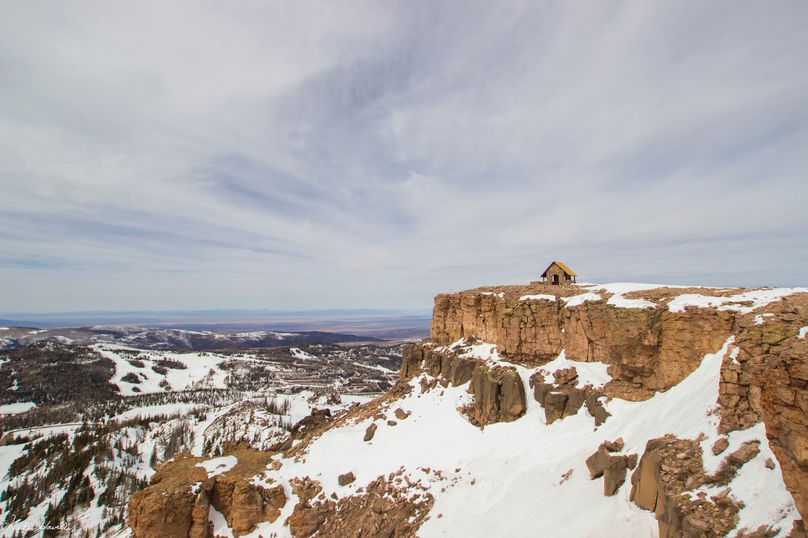
There is this really awesome building on top (one other thing the sign talks about). It's a Forest Service lookout built in the 1930's. It's a cool little building.


If nothing else the little building is an ok break from the wind. The wind is relentless up there.
The scenery is gorgeous up there. Great view of Cedar Breaks National Monument, Tushar Mountains, Bryce Canyon, Zion National Park, Grand Staircase Escalante National Monument, Kaibab Mountains, Great Basin, etc. It's pretty freakin' sweet.


Then we hiked back to where we had left our packs and snowshoes about 100 feet down. Then things got real!


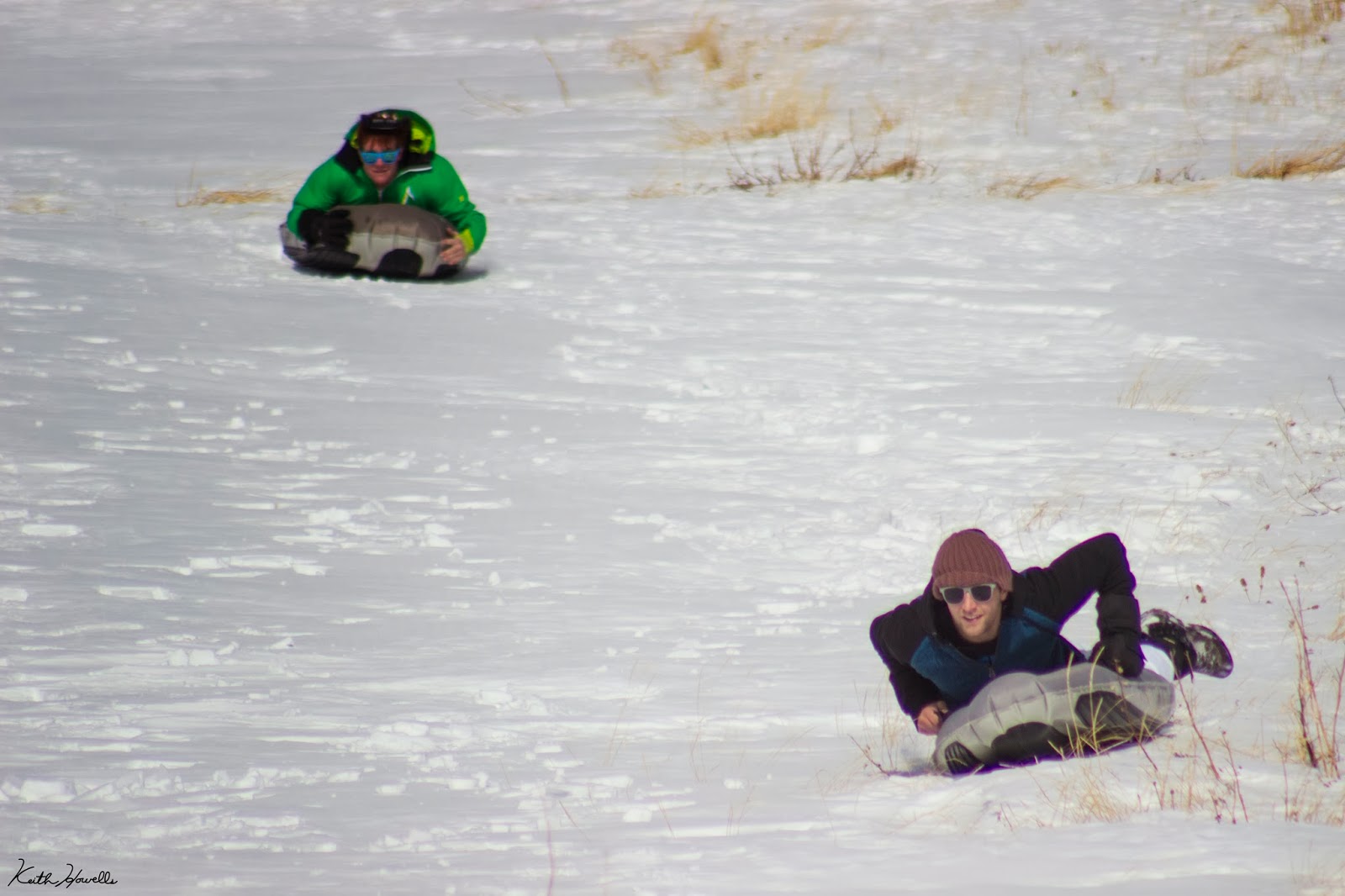
At this point we finally to why we really hiked up the peak. Each of us had in our packs an Airboard. If you don't know what an Airboard is, I'm sorry. You're missing out on the best sledding adventure you could have. Watch this video.
We had to descend a bit because of the lack of snow, but it was all worth the hard work. I jumped on my Airboard and took off down the hill before anyone else. I was able to grab my telephoto lens and snap a few shots of people coming down.


The whole ride on the Airboard was about a half-mile long. I couldn't give an estimate of the speed we hit coming down the slope, but it was fast. Scary fast!
Featured image for home page:

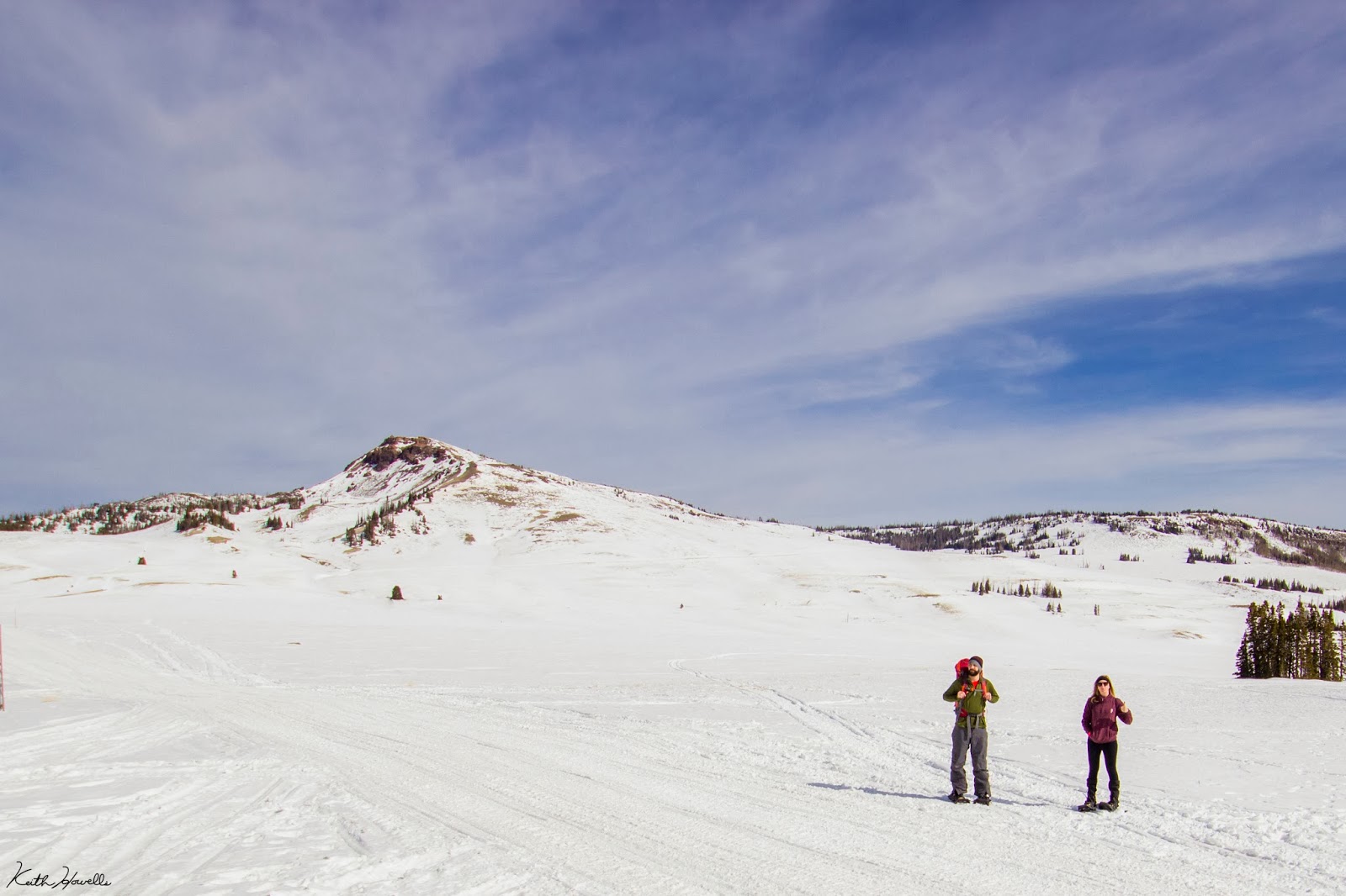
President's Day I headed up Brian Head Peak (the one in the photo above). The peak reaches to a height 11, 307 ft.; not too tall, but making it one of the highest points in southern Utah.
Such a fun hike, despite the poor snowfall this year. The plan was to hit the summit, then turn around and use the airboards to head back down.
We left Cedar City at about 10 a.m. and parked at the Rattle Snake Trailhead. This is like 500 yards further than if the Vista Point Road (the easy route up the peak) had been plowed out. Oh well.
The snow wasn't that deep. A few inches in most places, but some wind blown areas were over a foot. This made the snowshoes kind of useless for floating on the snow. The main reason they were important to have was because of how icy it was.


We just took straight up the south face (maybe we'll create our own clothing company called The South Face) to reach the top.


^Don't let others use your camera without telling them it's on manual focus.

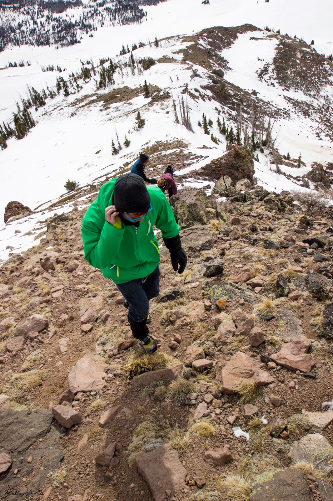
It was slow going once we hit the steep section of the trail. Well, let me rephrase that; I went slow on the steep section because I drink too much Mountain Dew.
We took the snowshoes off once we hit the rocky sections near the top. That sped the ascent up not having to trip and slip on the ice and snow.
We found this awesome rock feature while heading up. I think this looks like Brian's Head. It is totally a skull coming out of the mountain. I'm naming it Brian's Skull.

After about a 1,000 feet climb we reached the summit.

It's kind of a flat, barren area. This is looking to the north toward the Tushar Mountains (Looks like Eagle Point may have more snow than Brian Head).
The little sign in the picture above just says the elevation, states you can see (Nevada, Arizona and Utah) and a Boy Scout Troop made the sign. In the summer you can drive up the Vista Point Road and park near the sign. There are a few mountain bike trails off of Brian Head Peak. I rode one back when i was like 14 and just remember it was awesome.
There is this really awesome building on top (one other thing the sign talks about). It's a Forest Service lookout built in the 1930's. It's a cool little building.

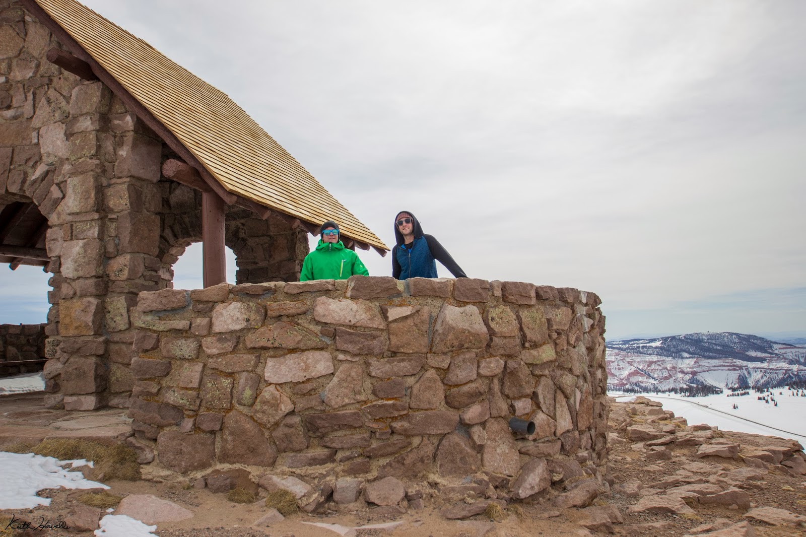


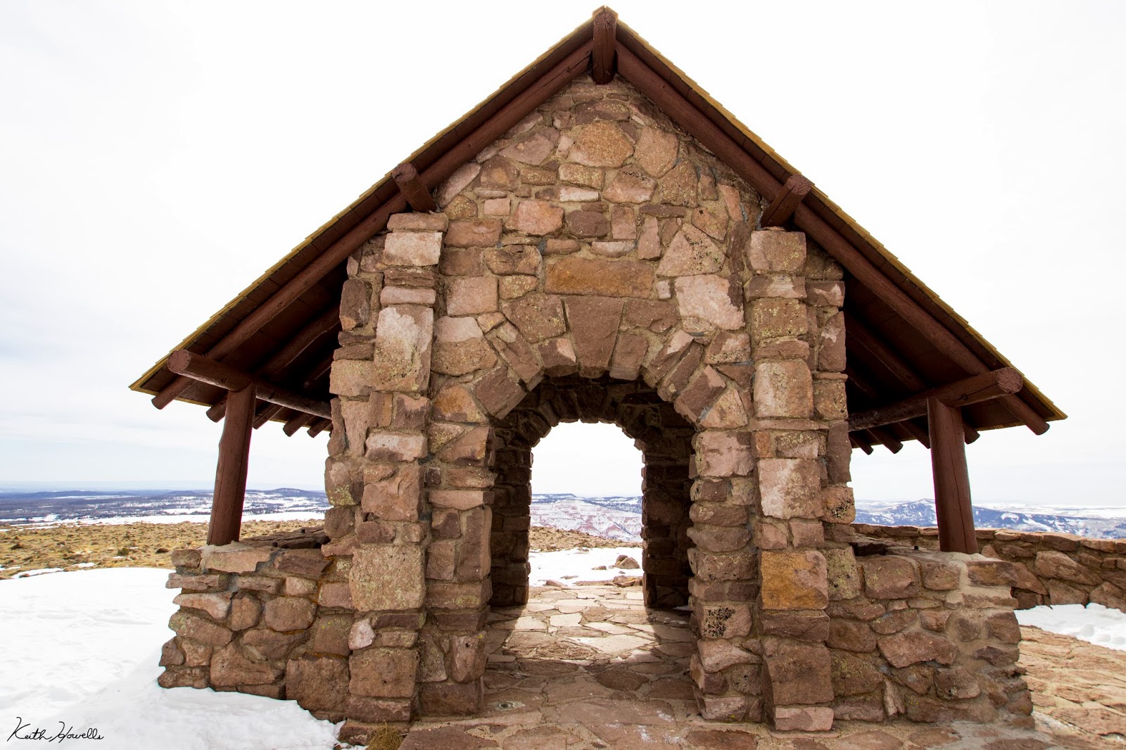


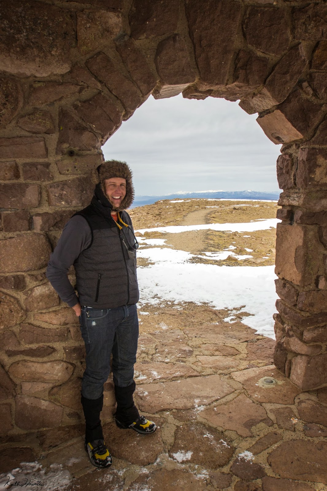
If nothing else the little building is an ok break from the wind. The wind is relentless up there.
The scenery is gorgeous up there. Great view of Cedar Breaks National Monument, Tushar Mountains, Bryce Canyon, Zion National Park, Grand Staircase Escalante National Monument, Kaibab Mountains, Great Basin, etc. It's pretty freakin' sweet.


Then we hiked back to where we had left our packs and snowshoes about 100 feet down. Then things got real!


At this point we finally to why we really hiked up the peak. Each of us had in our packs an Airboard. If you don't know what an Airboard is, I'm sorry. You're missing out on the best sledding adventure you could have. Watch this video.
We had to descend a bit because of the lack of snow, but it was all worth the hard work. I jumped on my Airboard and took off down the hill before anyone else. I was able to grab my telephoto lens and snap a few shots of people coming down.


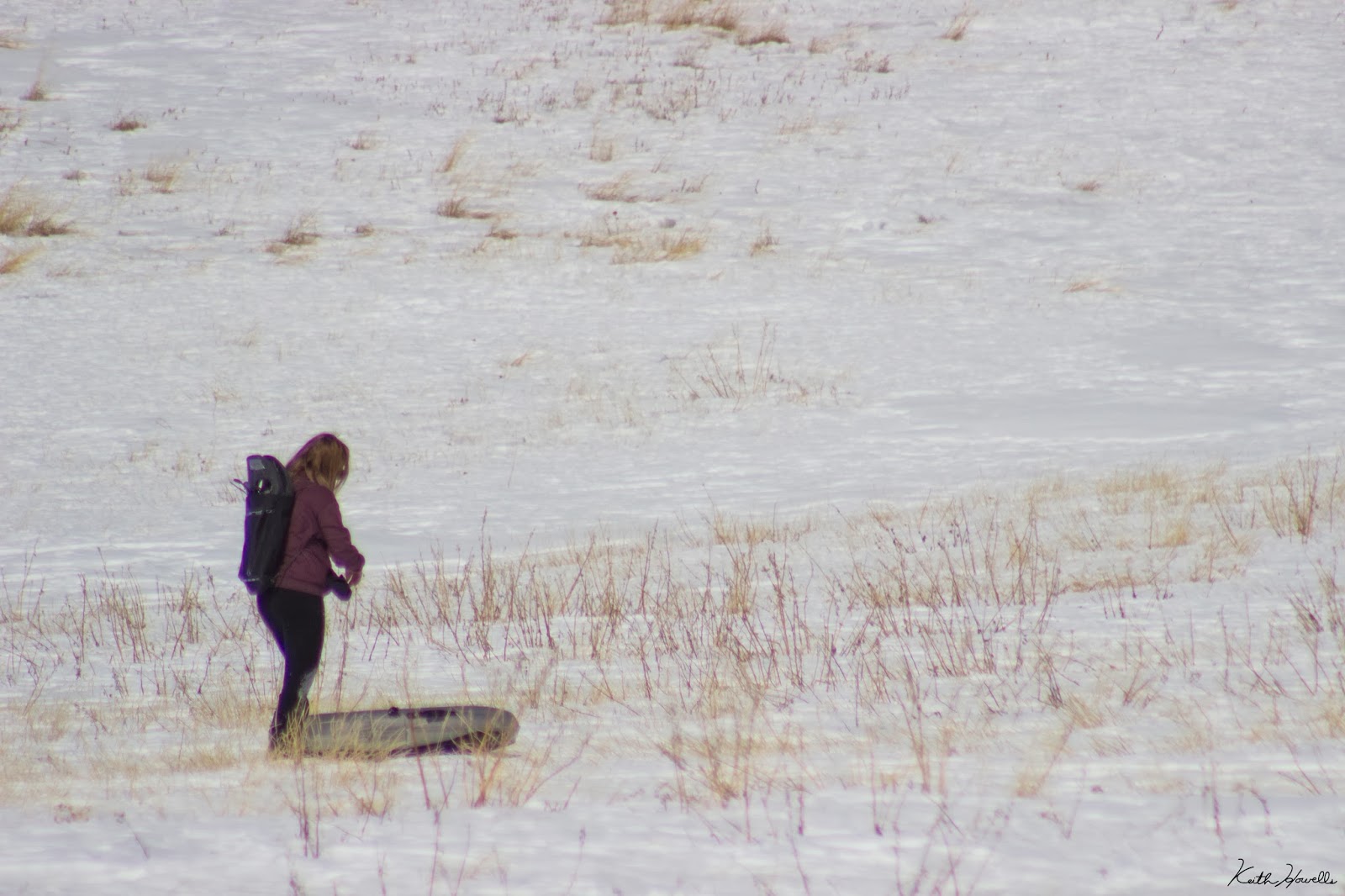
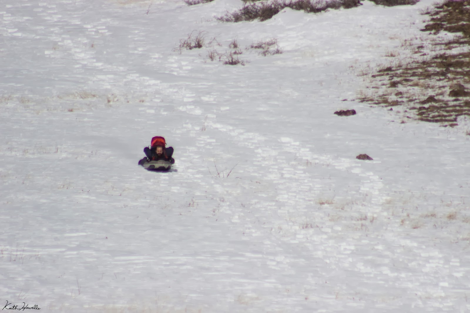


The whole ride on the Airboard was about a half-mile long. I couldn't give an estimate of the speed we hit coming down the slope, but it was fast. Scary fast!
Featured image for home page:
")