Udink
Still right here.
- Joined
- Jan 17, 2012
- Messages
- 1,748
June 26-28, 2020
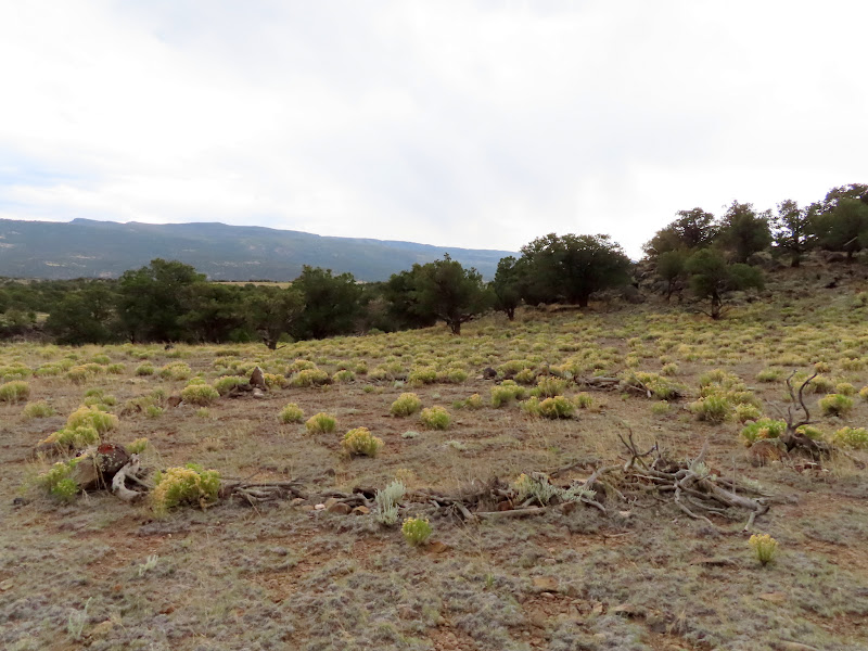
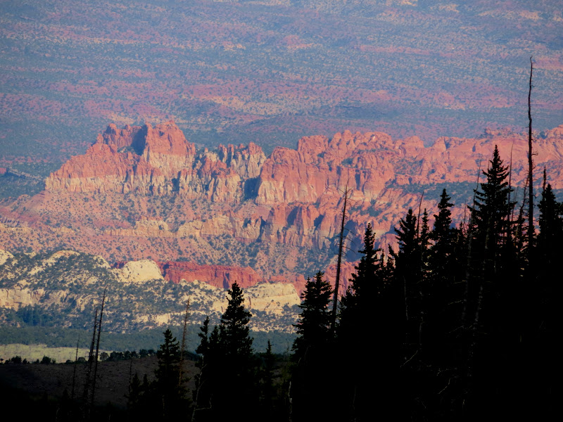
I spent last weekend on Boulder Top, exactly five years after my first trip there. That first trip was a day-trip on a motorcycle with very little hiking, but this trip was in my Jeep with plenty of hiking. Chris joined me and we drove down late Friday afternoon. Just before reaching the National Forest boundary we took a short side road to check out a circle that I'd spotted in the satellite imagery near Pine Creek. It didn't really look like a pit house but since I could drive close to it I figured it was worth taking a look at. It turned out to be a circle of rocks and tree branches and was obviously modern. We drove on into the forest and just past the boundary found a nice place to camp within the Pine Creek drainage but not very close to the water. I was hoping that at the relatively low elevation of 8,000' we wouldn't have any mosquitoes, and thankfully that was the case. It was a comfortably warm night with a decent sunset, and I slept as well as I ever have while camping. We both slept in cots under the stars, and I only woke up once during the night, peeking my head out of the sleeping bag briefly and seeing an immensely bright Milky Way overhead.
Rocks and tree branches forming a circle near Pine Creek
Pine Creek camp
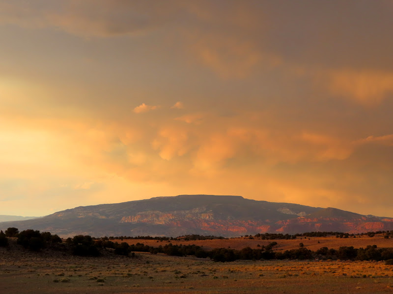
Thousand Lake Mountain at sunset
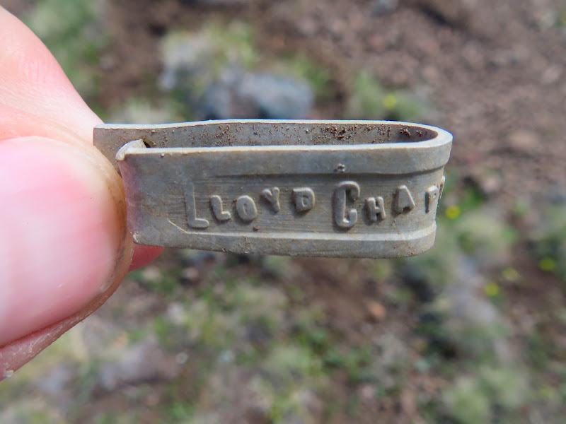
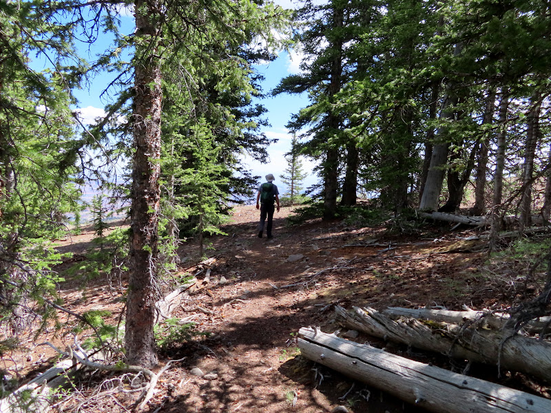
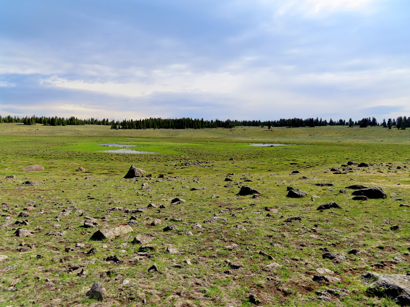
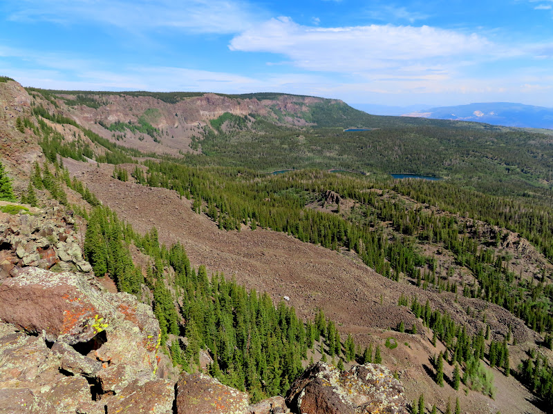
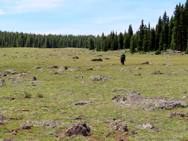
We slept in relatively late, close to 8AM, and quickly packed up camp and hit the road climbing to Boulder Top. We took the main road east across the plateau and curved north around the base of Bluebell Knoll, parking at Raft Lake to start our first hike. I wanted to hike to Donkey Point, but do it as a loop rather than an out-and-back, so we started off hiking cross-country to the north and turned to the east passing Jane Lake and Lee Lake. It was absolutely wonderful country to hike in! While walking across the meadow I spotted something on the ground which turned out to be a sheep ear tag with "Lloyd Chappell, Lyman, Utah" stamped on it (thanks to my friends Wade and Lyman for the identification). As we neared Donkey Point we took an old logging road cutting through the dense pines and met up with the Donkey Meadows Trail for the last short jaunt out to the point. Where the trail meets the edge of the plateau it drops steeply down to Green Lake, and we'd originally planned to hike down it but neither of us was feeling up to it. The actual Donkey Point is about 600' south of the trail and we hiked up to it and stopped for lunch while enjoying the views over Blind Lake toward Fish Creek Point (to which we would hike the next day).
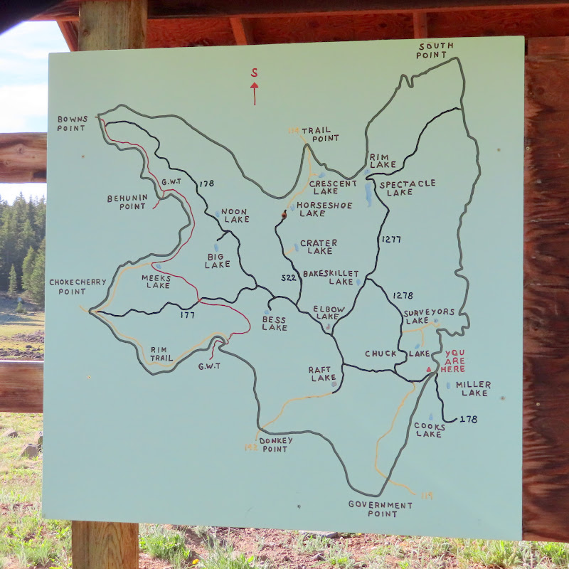
Neat hand-drawn map on Boulder Top
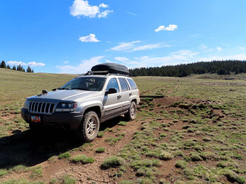
Parking spot along closed road to Donkey Point
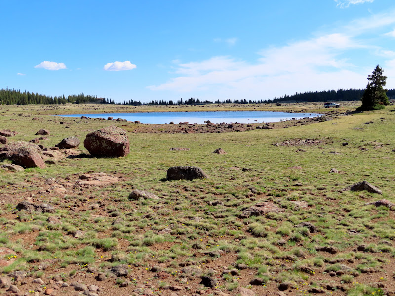
Dead Horse Lake
Jane Lake
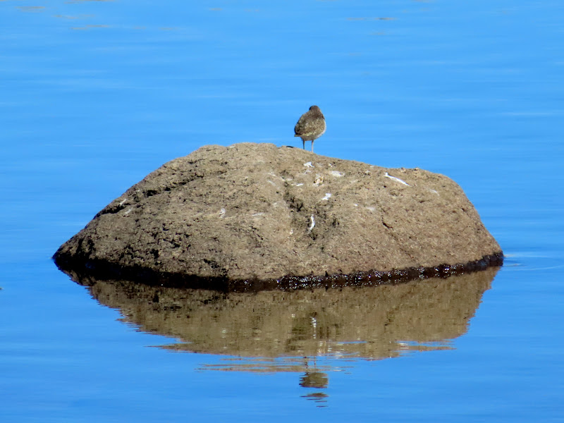
Bird on a rock in Jane Lake
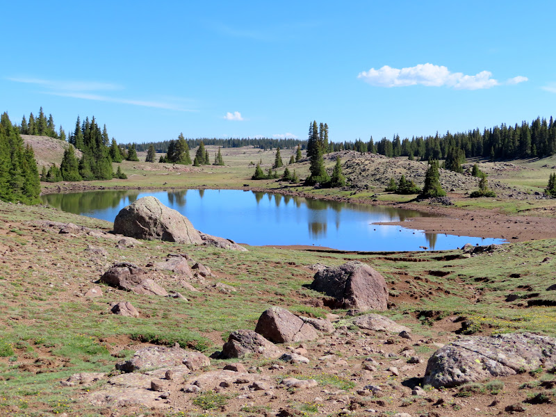
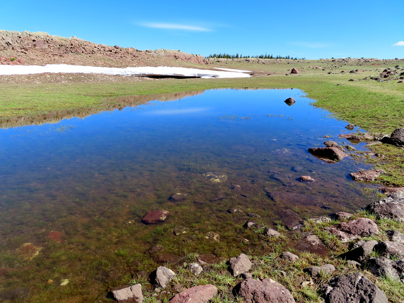
Unnamed pond east of Jane Lake
Enroute to Donkey Point
Sheep ear tag, Lloyd Chappell, Lyman, Utah
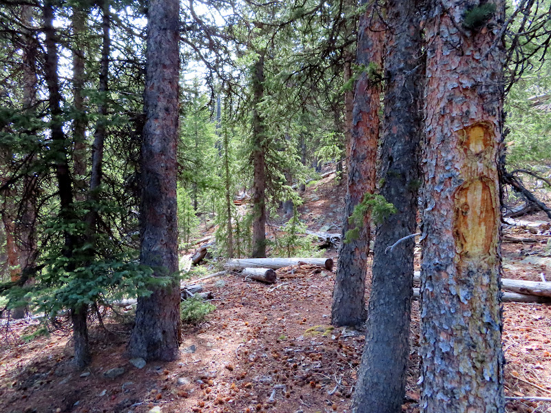
Entering the trees
Orange Crush can from the late 1960s

Final approach to Donkey Point
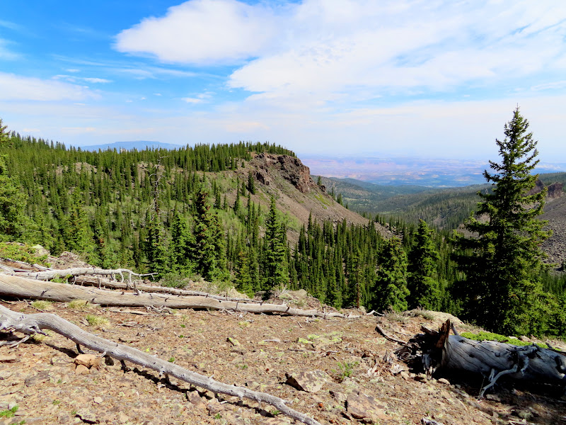
Thousand Lake Mountain and Green Lake seen from Donkey Point
Blind Lake viewed from Donkey Point
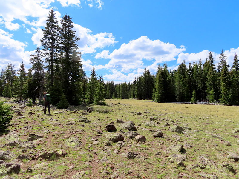
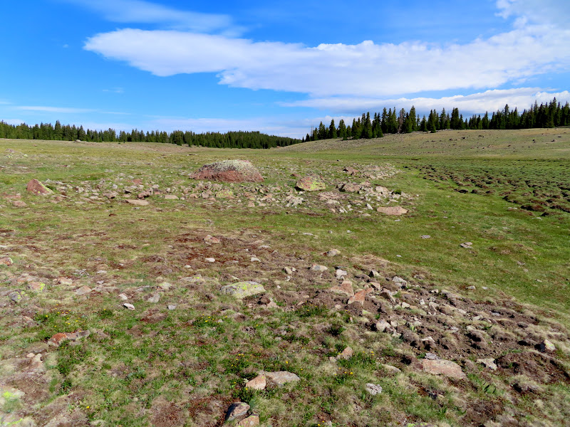
We hiked back along the Donkey Meadows Trail, which climbed gently through the pine trees for almost a mile before leveling out and breaking into open meadows. We got back to the Jeep after 1PM and, since we didn't make the hike down to Green Lake, we had some time to kill.
Blazed tree along the Donkey Meadows Trail
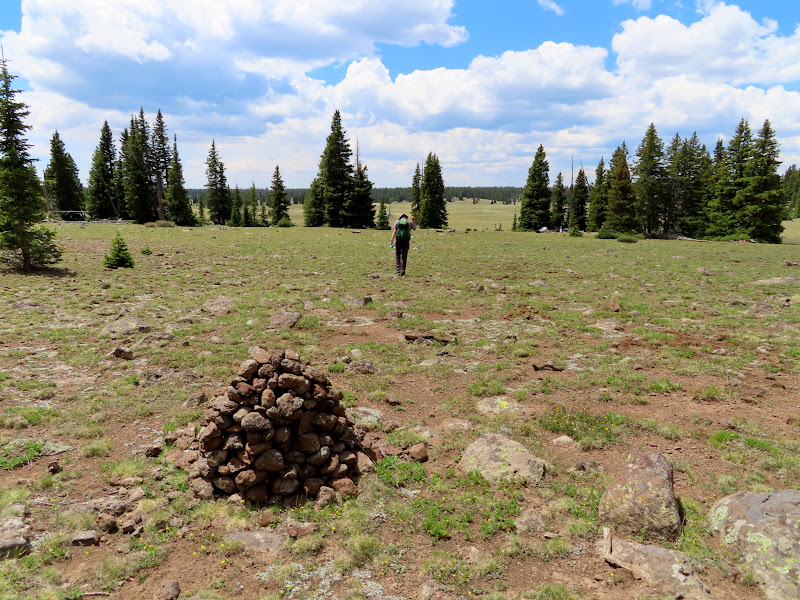
Large cairn leading into Donkey Meadows
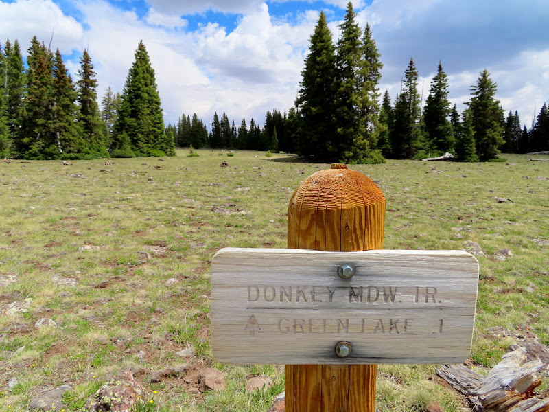
Donkey Meadows Trail sign
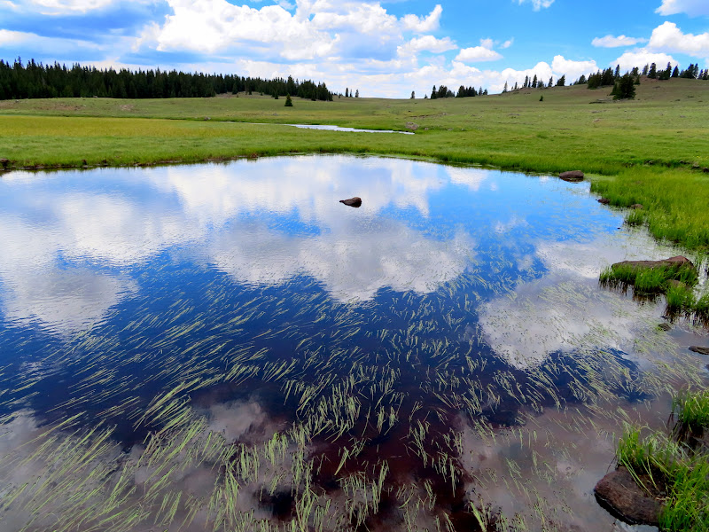
Donkey Meadows pond
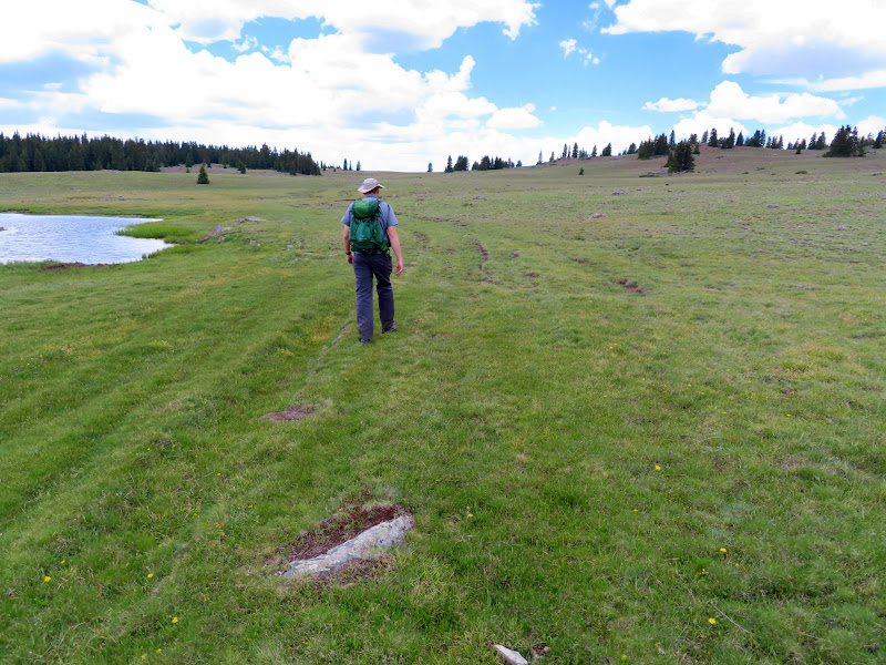
Old vehicle tracks in Donkey Meadows
Rocky reflection in Twin Lakes
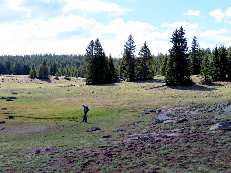
Almost back to the Jeep near Raft Lake
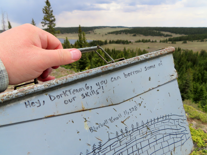
First we made the short hike to the top of Bluebell Knoll, the highest point in Wayne County at 11,317'. Next we drove to Spectacle Lake, where we ran into a guy in a white F-150 that we'd seen earlier near the start of our hike to Donkey Point. While chatting with him I learned that he'd done the same loop hike to Donkey Point at the same time as we had except in reverse, and we must have missed him while we were off-trail at the actual highest point.
Geocache at Bluebell Knoll
Spectacle Lake
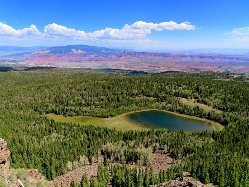
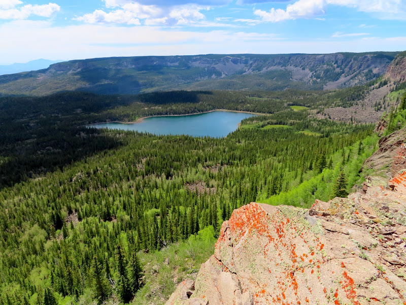
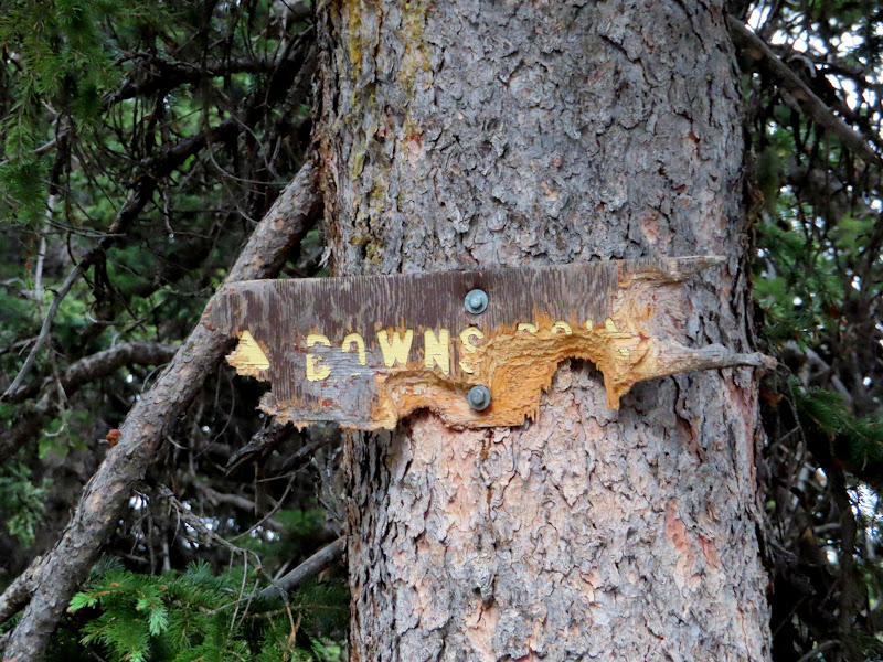
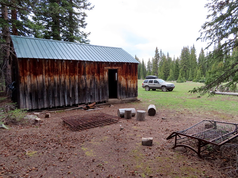
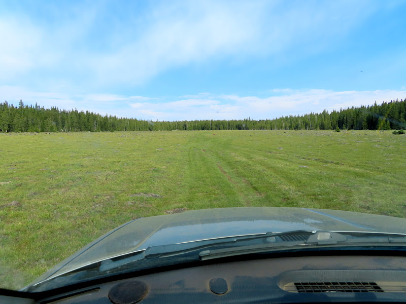
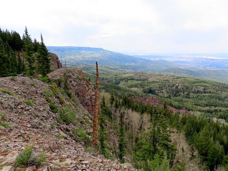
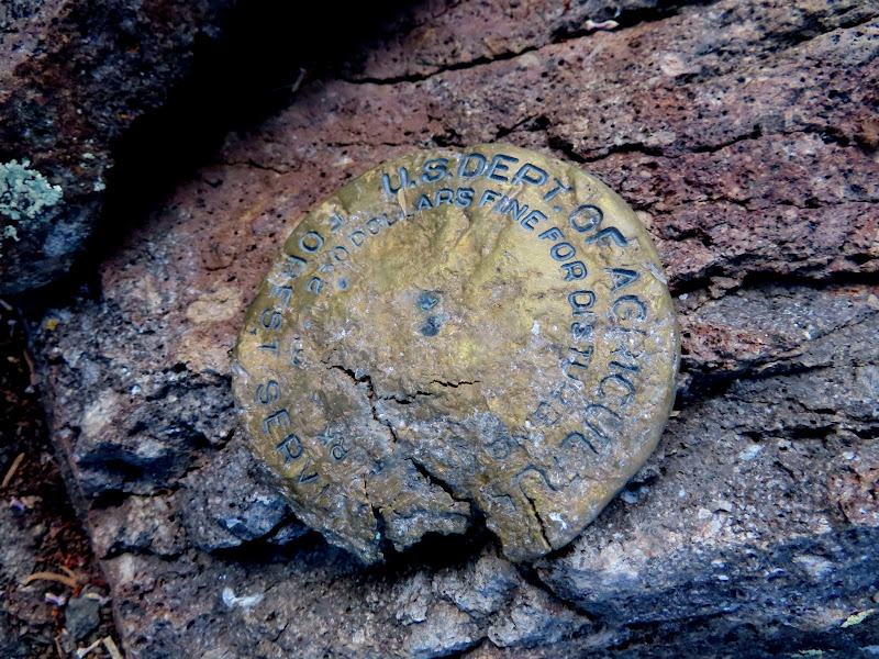
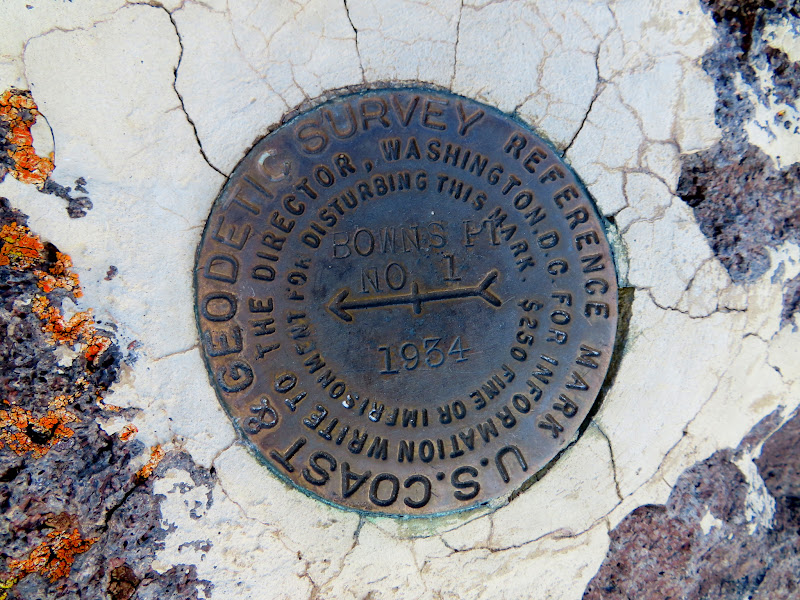
We left Spectacle Lake and started the long, rough drive to Bowns Point where we'd planned to camp that night. We stopped along the way to check out a cabin near Oak Draw and then continued on toward the point. We spent some time taking in the amazing views from end of the road, as well as checking in with the outside world since we had good cell service there. Just like at Donkey Point, the road reaches the edge of the plateau a short distance from the actual point, but in the case of Bowns Point that distance is almost half a mile. We each grabbed a beer and our cameras and hiked to the point. I looked around the highest spot hoping to find some sort of register but didn't see anything. We climbed down some boulders to a lower but sharper point below and were surprised to find some survey markers there. There were two U.S. Coast and Geodetic Survey reference markers from 1934 but the actual survey marker was gone--I could see the drill hole where it had been removed from. There was also a U.S. Forest Service survey marker that was badly damaged.
Bowns Point sign
Cabin at old sawmill location near Oak Draw
Driving across a meadow near Deer Lakes
View north from Bowns Point to Chokecherry Point
Cliffs near upper Long Canyon
Circle Cliffs north of the Flats
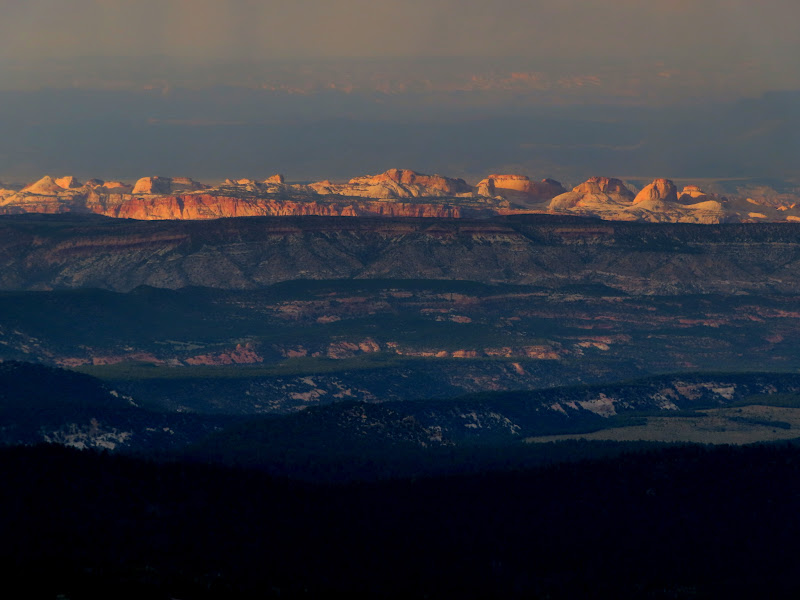
Hazy Henry Mountains across Capitol Reef
Lower Bowns Reservoir
Trail signs at Bowns Point
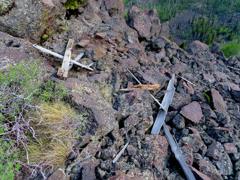
Remnants of survey tower at the real Bowns Point
Badly damaged USFS survey marker at Bowns Point
Bowns Point reference marker #1
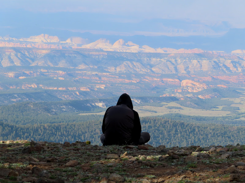
Hiking with a beer
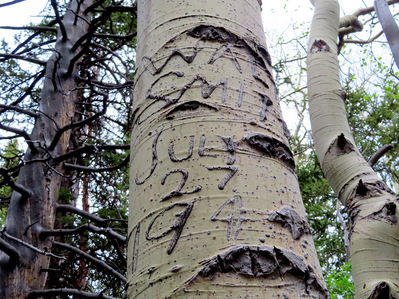
Walt Smith, July 27, 1944
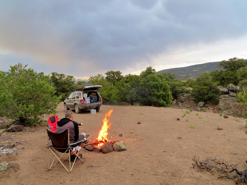
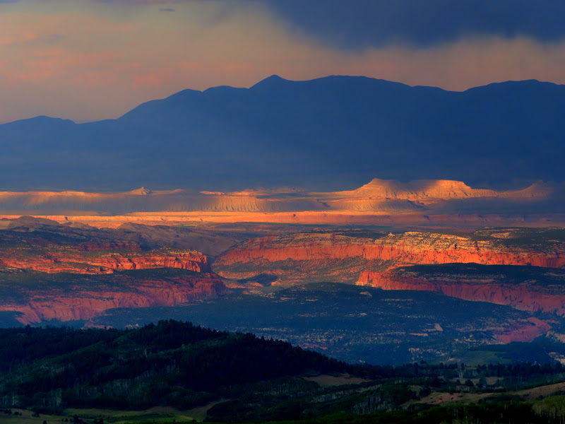
We walked back to the Jeep as a storm was moving in. It rained lightly which we'd hoped would stifle the mosquitoes but it didn't faze them a bit. The dark clouds did make for some nice lighting conditions on the desert landscape below! We waited out the mosquitoes for an hour or so in the Jeep, and when they subsided just before sunset we got out and spent the rest of the evening around a campfire before turning in relatively early. We awoke at 7AM on Sunday morning to cloudy skies and a nice breeze, but it cleared up quickly and the wind increased throughout the day. After breakfast we drove to the trail that would lead us to Fish Creek Point.
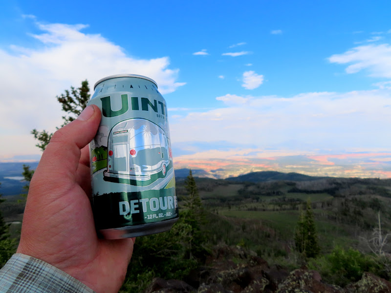
Chris soaking up some 4G
View over Oak Creek toward the Henry Mountains
Capitol Reef is lit!
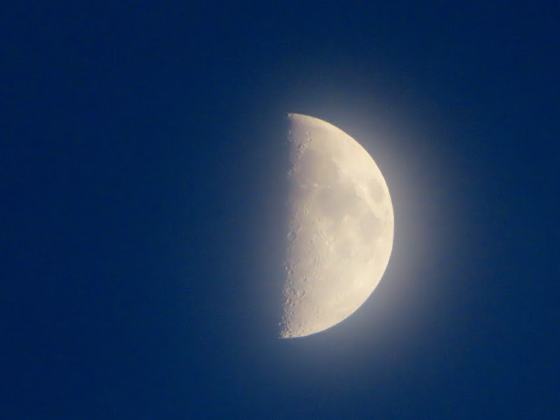
Half moon through the haze
Henry Mountains viewed from Bowns Point on Sunday morning
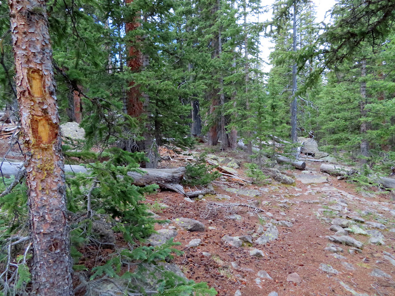
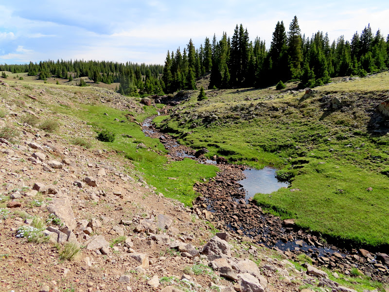
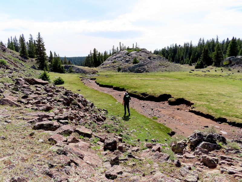
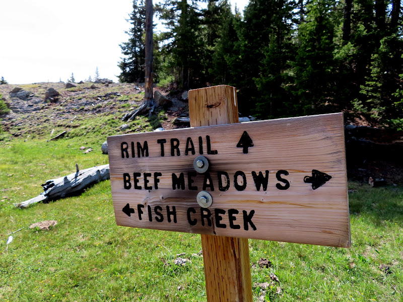
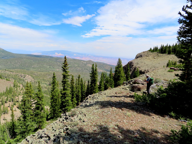
We parked at Beef Meadows, which forms the headwaters of Fish Creek. The trail was difficult to discern through the meadow but once the watercourse started to deepen the trail was more defined and even cairned in many spots. At the point where the trail starts to descend steeply off the plateau, we hiked cross-country a short distance to Fish Creek Point. The wind was quite gusty on the point and we didn't stick around too long.
Fish Creek Trail signage
Beef Meadows
Heading northwest in Beef Meadows
Upper Fish Creek
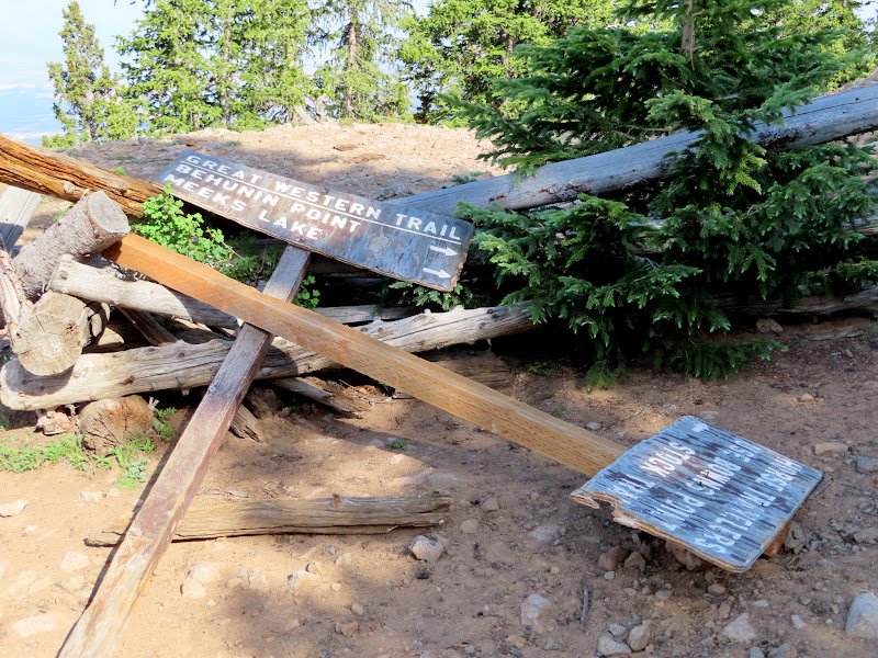
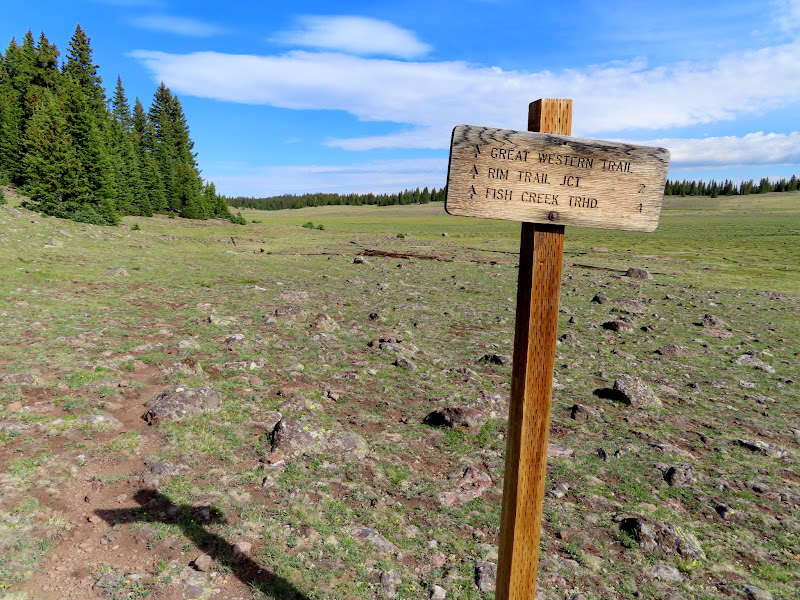
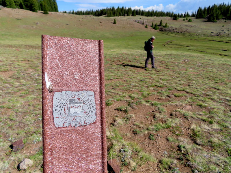
Great Western Trail sign
Upper Fish Creek
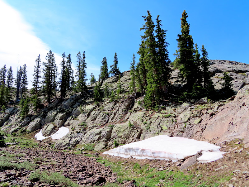
Snow drifts in upper Fish Creek
Trail junction
Chris on Fish Creek Point
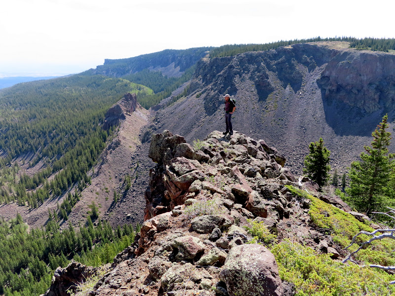
View north from Fish Creek Point to Donkey Point
Fish Creek drainage
Emily Lake
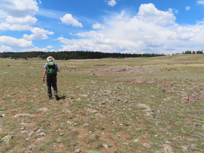
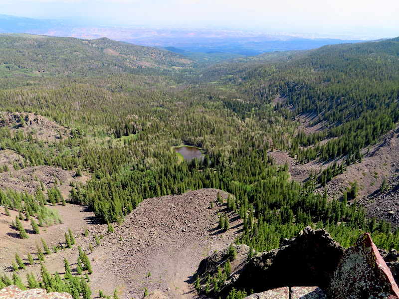
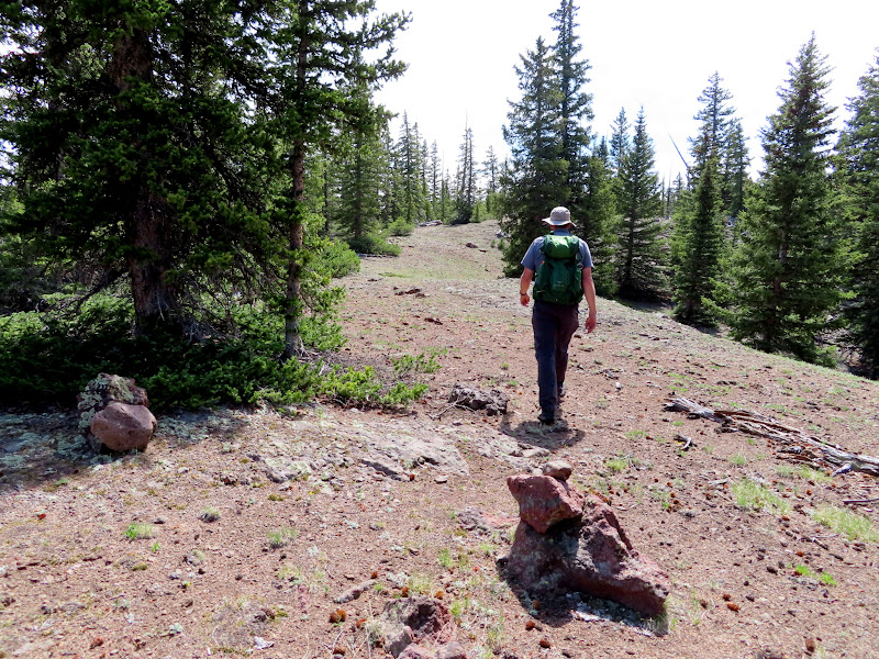
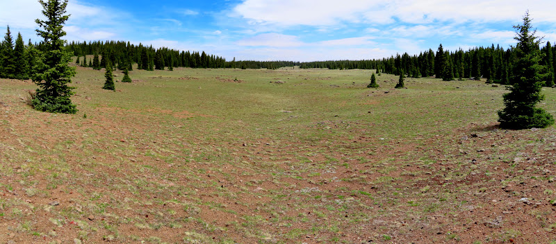
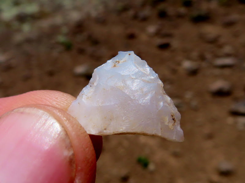
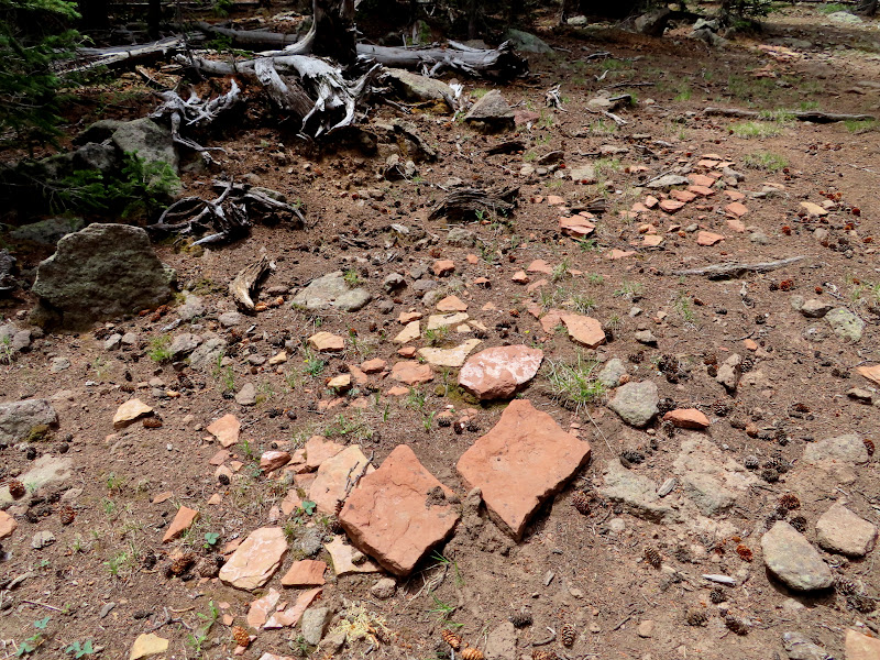
We returned to the trail and, since I wanted to do this hike as a loop as well, we tried finding our way up a steep slope through the trees to connect with the Rim Trail. A route between the two trails didn't look very promising in the satellite imagery but in reality it was pretty easy. After a short climb the terrain leveled out and we stopped to catch our breath. While standing there I noticed a cairn and realized we were actually standing on the Rim Trail. It obviously doesn't see very much use, and I'd characterize it as more of a route than a trail, defined by cairns and blazed trees. We followed the meandering route in and out of the trees, occasionally catching glimpses of the view off the rim. We reached the bottom of Lake in the Flat Meadow and left the trail, ascending the gently sloped meadow. There was a stiff headwind and we kept our heads down to keep our hats from blowing off. At the upper end of the meadow I spotted a broken arrowhead! I wasn't terribly surprised to see it, though I'd imagine above 11,000' elevation they're not very common. We took a logging road through the trees and over a short but broad hill and crossed Beef Meadows where we reached the Jeep. The views weren't the best on this hike, but the hike itself was easily the most enjoyable of the weekend. I'm sure I'll return to Boulder Top again, and it certainly won't take five years to do it next time!
Following the Rim "Trail"
Fish Creek Point viewed from the Rim Trail
Blazed tree on the Rim Trail
Lower end of Lake in the Flat Meadow
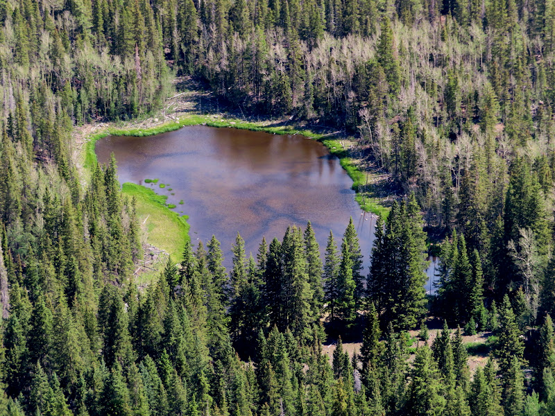
Pond in Lake in the Flat Meadow
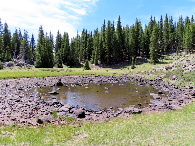
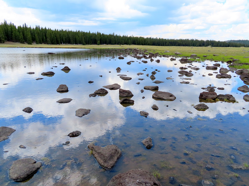
Lake in the Flat Meadow
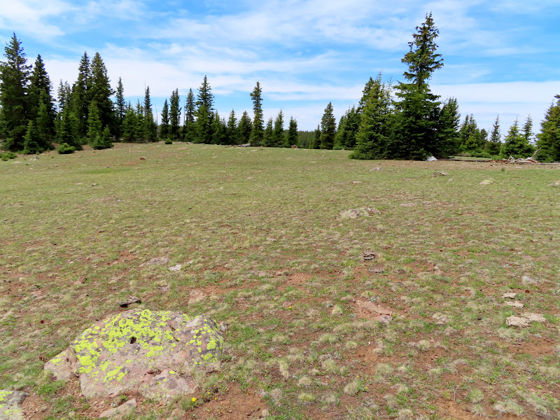
The "lake" in Lake in the Flat Meadow

Upper end of Lake in the Flat Meadow
Ooh, a pretty rock! Broken arrowhead found at about 11,050' elevation in Lake in the Flat Meadow.
Sandstone on an old logging road
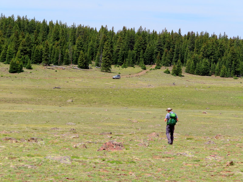
Route between Lake in the Flat Meadow and Beef Meadows
Almost back to the Jeep
Baby bird far from any trees
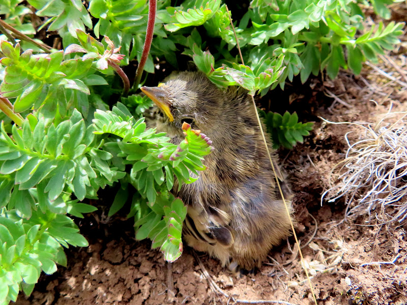
Photo Gallery: Boulder Top
GPS Track: Google Earth KMZ
I spent last weekend on Boulder Top, exactly five years after my first trip there. That first trip was a day-trip on a motorcycle with very little hiking, but this trip was in my Jeep with plenty of hiking. Chris joined me and we drove down late Friday afternoon. Just before reaching the National Forest boundary we took a short side road to check out a circle that I'd spotted in the satellite imagery near Pine Creek. It didn't really look like a pit house but since I could drive close to it I figured it was worth taking a look at. It turned out to be a circle of rocks and tree branches and was obviously modern. We drove on into the forest and just past the boundary found a nice place to camp within the Pine Creek drainage but not very close to the water. I was hoping that at the relatively low elevation of 8,000' we wouldn't have any mosquitoes, and thankfully that was the case. It was a comfortably warm night with a decent sunset, and I slept as well as I ever have while camping. We both slept in cots under the stars, and I only woke up once during the night, peeking my head out of the sleeping bag briefly and seeing an immensely bright Milky Way overhead.
Rocks and tree branches forming a circle near Pine Creek
Pine Creek camp
Thousand Lake Mountain at sunset
We slept in relatively late, close to 8AM, and quickly packed up camp and hit the road climbing to Boulder Top. We took the main road east across the plateau and curved north around the base of Bluebell Knoll, parking at Raft Lake to start our first hike. I wanted to hike to Donkey Point, but do it as a loop rather than an out-and-back, so we started off hiking cross-country to the north and turned to the east passing Jane Lake and Lee Lake. It was absolutely wonderful country to hike in! While walking across the meadow I spotted something on the ground which turned out to be a sheep ear tag with "Lloyd Chappell, Lyman, Utah" stamped on it (thanks to my friends Wade and Lyman for the identification). As we neared Donkey Point we took an old logging road cutting through the dense pines and met up with the Donkey Meadows Trail for the last short jaunt out to the point. Where the trail meets the edge of the plateau it drops steeply down to Green Lake, and we'd originally planned to hike down it but neither of us was feeling up to it. The actual Donkey Point is about 600' south of the trail and we hiked up to it and stopped for lunch while enjoying the views over Blind Lake toward Fish Creek Point (to which we would hike the next day).
Neat hand-drawn map on Boulder Top
Parking spot along closed road to Donkey Point
Dead Horse Lake
Jane Lake
Bird on a rock in Jane Lake
Unnamed pond east of Jane Lake
Enroute to Donkey Point
Sheep ear tag, Lloyd Chappell, Lyman, Utah
Entering the trees
Orange Crush can from the late 1960s
Final approach to Donkey Point
Thousand Lake Mountain and Green Lake seen from Donkey Point
Blind Lake viewed from Donkey Point
We hiked back along the Donkey Meadows Trail, which climbed gently through the pine trees for almost a mile before leveling out and breaking into open meadows. We got back to the Jeep after 1PM and, since we didn't make the hike down to Green Lake, we had some time to kill.
Blazed tree along the Donkey Meadows Trail
Large cairn leading into Donkey Meadows
Donkey Meadows Trail sign
Donkey Meadows pond
Old vehicle tracks in Donkey Meadows
Rocky reflection in Twin Lakes
Almost back to the Jeep near Raft Lake
First we made the short hike to the top of Bluebell Knoll, the highest point in Wayne County at 11,317'. Next we drove to Spectacle Lake, where we ran into a guy in a white F-150 that we'd seen earlier near the start of our hike to Donkey Point. While chatting with him I learned that he'd done the same loop hike to Donkey Point at the same time as we had except in reverse, and we must have missed him while we were off-trail at the actual highest point.
Geocache at Bluebell Knoll
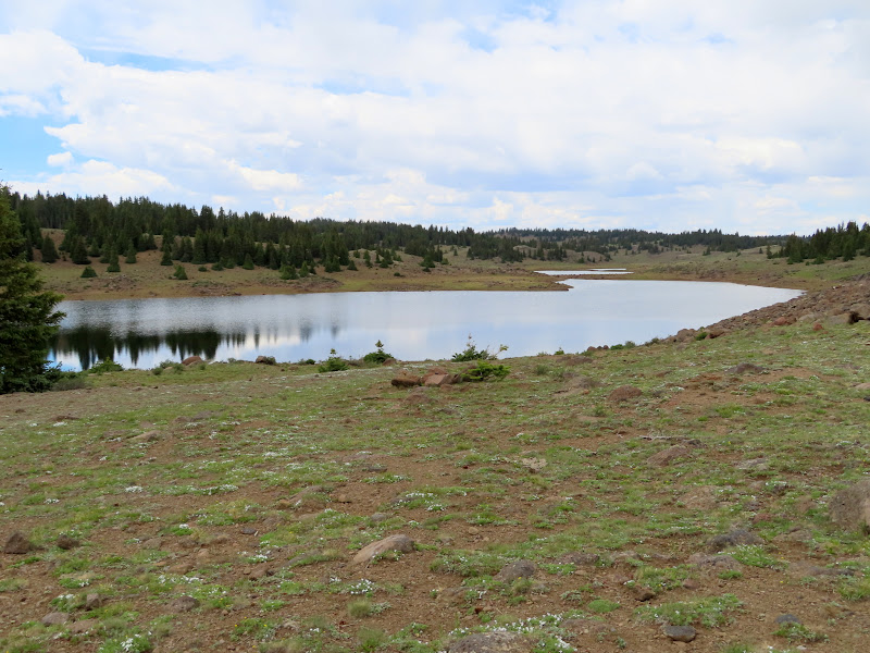
Spectacle Lake
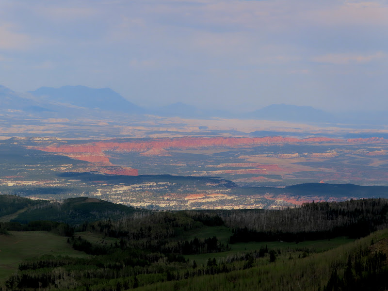
We left Spectacle Lake and started the long, rough drive to Bowns Point where we'd planned to camp that night. We stopped along the way to check out a cabin near Oak Draw and then continued on toward the point. We spent some time taking in the amazing views from end of the road, as well as checking in with the outside world since we had good cell service there. Just like at Donkey Point, the road reaches the edge of the plateau a short distance from the actual point, but in the case of Bowns Point that distance is almost half a mile. We each grabbed a beer and our cameras and hiked to the point. I looked around the highest spot hoping to find some sort of register but didn't see anything. We climbed down some boulders to a lower but sharper point below and were surprised to find some survey markers there. There were two U.S. Coast and Geodetic Survey reference markers from 1934 but the actual survey marker was gone--I could see the drill hole where it had been removed from. There was also a U.S. Forest Service survey marker that was badly damaged.
Bowns Point sign
Cabin at old sawmill location near Oak Draw
Driving across a meadow near Deer Lakes
View north from Bowns Point to Chokecherry Point
Cliffs near upper Long Canyon
Circle Cliffs north of the Flats
Hazy Henry Mountains across Capitol Reef
Lower Bowns Reservoir
Trail signs at Bowns Point
Remnants of survey tower at the real Bowns Point
Badly damaged USFS survey marker at Bowns Point
Bowns Point reference marker #1
Hiking with a beer
Walt Smith, July 27, 1944
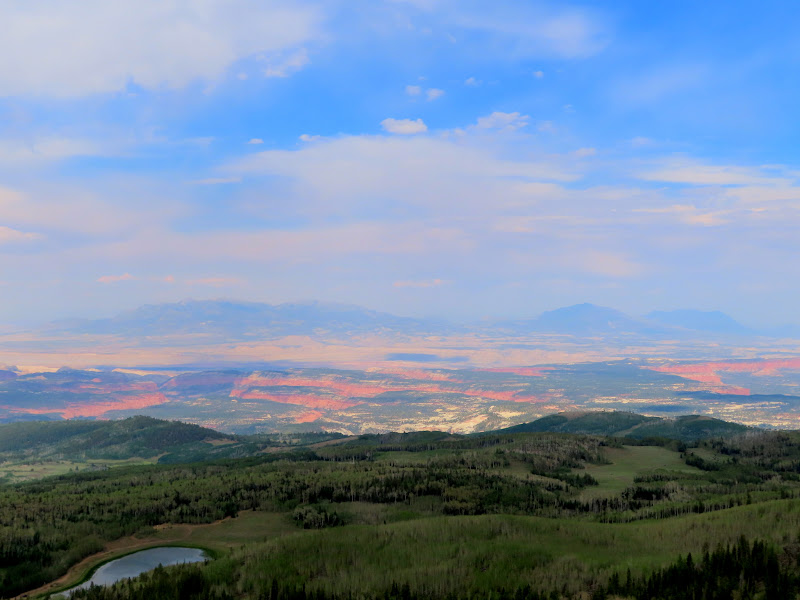
We walked back to the Jeep as a storm was moving in. It rained lightly which we'd hoped would stifle the mosquitoes but it didn't faze them a bit. The dark clouds did make for some nice lighting conditions on the desert landscape below! We waited out the mosquitoes for an hour or so in the Jeep, and when they subsided just before sunset we got out and spent the rest of the evening around a campfire before turning in relatively early. We awoke at 7AM on Sunday morning to cloudy skies and a nice breeze, but it cleared up quickly and the wind increased throughout the day. After breakfast we drove to the trail that would lead us to Fish Creek Point.
Chris soaking up some 4G
View over Oak Creek toward the Henry Mountains
Capitol Reef is lit!
Half moon through the haze
Henry Mountains viewed from Bowns Point on Sunday morning
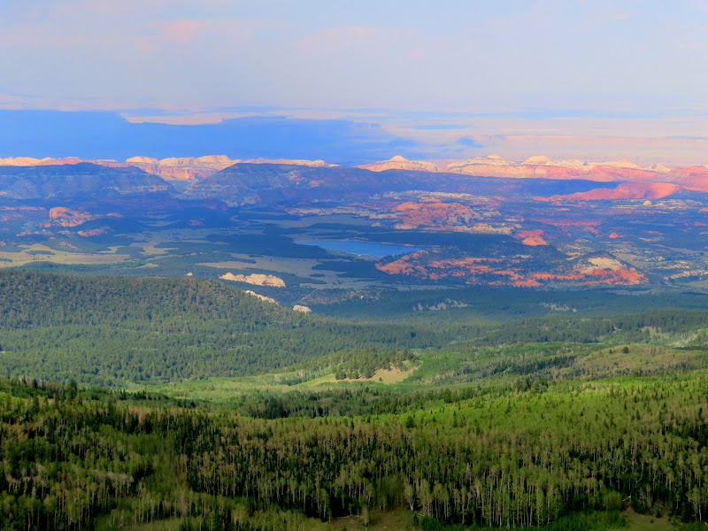
We parked at Beef Meadows, which forms the headwaters of Fish Creek. The trail was difficult to discern through the meadow but once the watercourse started to deepen the trail was more defined and even cairned in many spots. At the point where the trail starts to descend steeply off the plateau, we hiked cross-country a short distance to Fish Creek Point. The wind was quite gusty on the point and we didn't stick around too long.
Fish Creek Trail signage
Beef Meadows
Heading northwest in Beef Meadows
Upper Fish Creek
Great Western Trail sign
Upper Fish Creek
Snow drifts in upper Fish Creek
Trail junction
Chris on Fish Creek Point
View north from Fish Creek Point to Donkey Point
Fish Creek drainage
Emily Lake
We returned to the trail and, since I wanted to do this hike as a loop as well, we tried finding our way up a steep slope through the trees to connect with the Rim Trail. A route between the two trails didn't look very promising in the satellite imagery but in reality it was pretty easy. After a short climb the terrain leveled out and we stopped to catch our breath. While standing there I noticed a cairn and realized we were actually standing on the Rim Trail. It obviously doesn't see very much use, and I'd characterize it as more of a route than a trail, defined by cairns and blazed trees. We followed the meandering route in and out of the trees, occasionally catching glimpses of the view off the rim. We reached the bottom of Lake in the Flat Meadow and left the trail, ascending the gently sloped meadow. There was a stiff headwind and we kept our heads down to keep our hats from blowing off. At the upper end of the meadow I spotted a broken arrowhead! I wasn't terribly surprised to see it, though I'd imagine above 11,000' elevation they're not very common. We took a logging road through the trees and over a short but broad hill and crossed Beef Meadows where we reached the Jeep. The views weren't the best on this hike, but the hike itself was easily the most enjoyable of the weekend. I'm sure I'll return to Boulder Top again, and it certainly won't take five years to do it next time!
Following the Rim "Trail"
Fish Creek Point viewed from the Rim Trail
Blazed tree on the Rim Trail
Lower end of Lake in the Flat Meadow
Pond in Lake in the Flat Meadow
Lake in the Flat Meadow
The "lake" in Lake in the Flat Meadow
Upper end of Lake in the Flat Meadow
Ooh, a pretty rock! Broken arrowhead found at about 11,050' elevation in Lake in the Flat Meadow.
Sandstone on an old logging road
Route between Lake in the Flat Meadow and Beef Meadows
Almost back to the Jeep
Baby bird far from any trees
Photo Gallery: Boulder Top
GPS Track: Google Earth KMZ