intuitive cat
Jurassic Dust in my Bones
- Joined
- Mar 9, 2012
- Messages
- 402
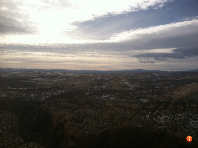
sorry i didn't get back to you sooner. it is gorgeous and hovering around 50 degrees in the day. perfect weather for you
Follow along with the video below to see how to install our site as a web app on your home screen.
Note: This feature may not be available in some browsers.
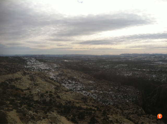
I quoted your post from the Bag Night thread. Thought I'd reply in this one to keep it all in one place.How were the conditions Nick? Lots of wading through knee-deep water?
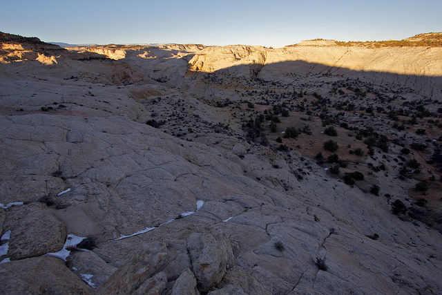
 Full trip report coming soon, of course.
 ")
")
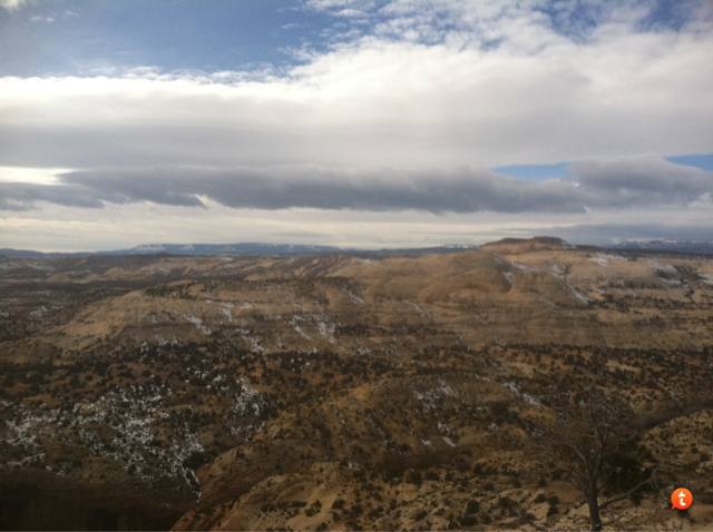
spencer flats is a great go to in winter. especially bighorn canyon and the zebra wash drainage. i can provide access info for that area if you are interested.
Probably not but may just not know the name. I wander a lot without a mapAhh yeah, I forget it faces north. Although looking back, it was pretty clear in January 2011. Definitely wouldn't be the case after a storm though. Bighorn would be awesome. I still need to do the upper part. Such a beautiful area. Have you been out there, Art?