shredhiker
Member
- Joined
- Feb 14, 2023
- Messages
- 172
We had 4 people enter the permit lottery on this one, only two of us got chosen, and one on the 3rd day. It was a bit of a frenzy to get campsites & piece this route together, but we were able to make it work. It was supposed to be a group of 5; Amber & myself, our friends who work at the Colter Bay visitor center (who are experienced backpackers) and our friend from upstate NY who was an experienced day hiker.
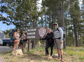
We spent the previous night at Gros Ventre campground. Stopped at butter cafe in Victor on the drive toward the trailhead, and we all met up at the Bechler Ranger Station around 10am. There was some lingering wildfire haze in the air, which obstructed the views of the Tetons as we drove in, but overall not terrible.
Day 1 (August 7):
I'd already picked up our permit, the day before, from the Snake River office. The lady there, who had previously been running the entrance gate, didn't know much about the trails or conditions beyond what was on the park website. We checked in at the Bechler office, they informed us that there was a small active fire around Lake Wyodaho, near our first nights camp. We were told it was no cause for concern, but it still made us a bit leery.
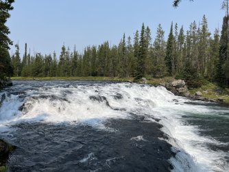
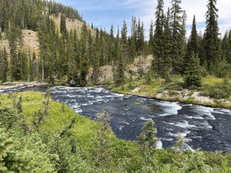
This was the hottest day of the trip. We followed the Bechler River Cutoff Trail, to where it met the river. At that point we dropped packs, three of us took a side trip down to Bechler Falls, while the other two took a break by the water. Just before reaching the falls, we ran into a black bear that crashed off as we approached. The rest of the group didn't seem thrilled to hear that we'd already had a bear encounter, a couple of miles into day 1. We also saw an Osprey nest, and spotted it flying around which was super cool. It was only visible through the trees at the edge of the trail, and I didn't try to get any closer.
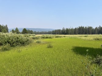
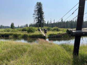
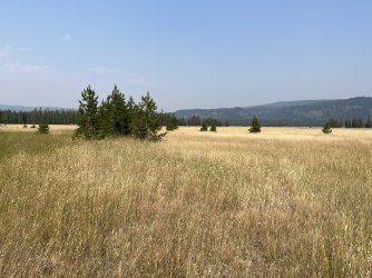
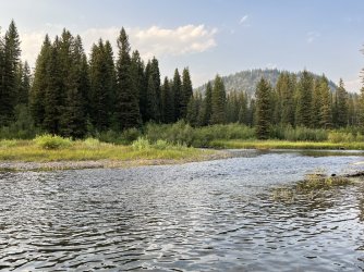
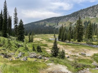
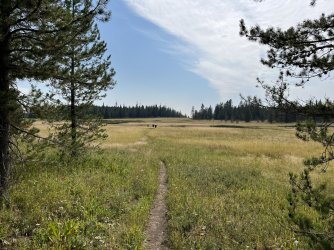
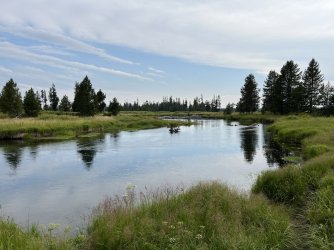
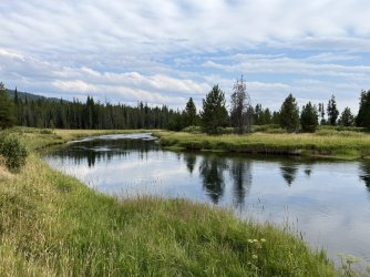
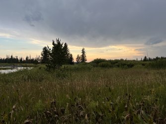
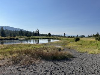
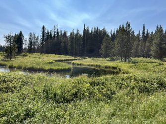
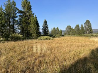
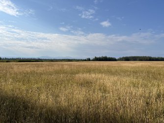
The Bechler Meadows were pretty dry and golden as we made our way across, the suspension bridge was very entertaining to everyone. After crossing one of the small creeks, we stopped for lunch in a stand of trees. I have no idea how, but about a mile up the trail, I realized I left my bear spray back in that spot. Thankfully, everyone else in the group had opted to carry two cans, so I was able to bum one to get me through the trip (days later I hiked back to that same stand of trees looking for it, and it was long gone)
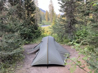
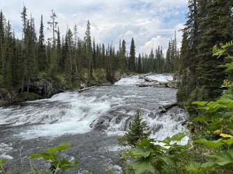
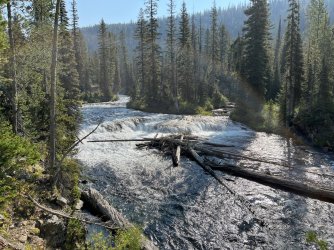
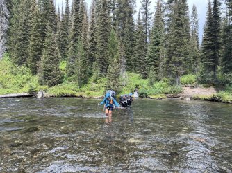
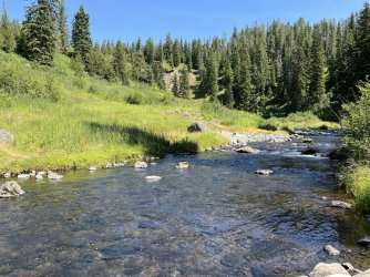
Fording the river, there was mostly knee deep, with one little spot that was nearly waist high, but not very swift. We made it to the Ouzel Falls campsite around 6:30. Mosquitoes were out, but not terrible. I kept on my long pants and sun hoody, which kept them at bay for the evening. It was a pretty flat hike, around 9 miles with the side trip to the falls.
Day 2:
Our friend from NY decided the previous day that she wanted to bail out of the hike. We've ran into this before, so we didn't try to talk her out of it, better to make this decision now, before we all get further in. We were all a bit nervous about her hiking out solo, especially not being experienced in the area. I gave her my paper map, since we had another one in the group, we all emphasized the importance of bear safety, and the only major water crossing was the one we'd already done. I gave her the best info I could, about finding lodging/camping near Island Park, and she agreed to pickup us up at 11 am on our hike out day. She contacted me on my in-reach the following day, saying she made it out find, and found a place in Island Park.
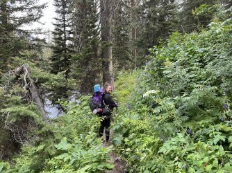
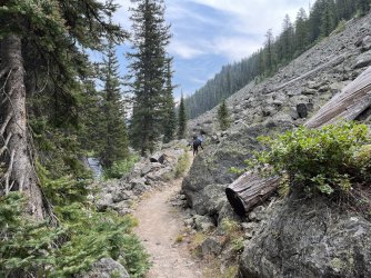
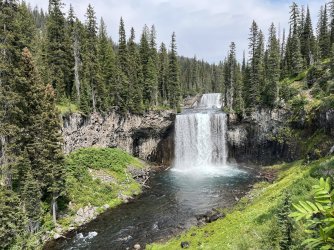
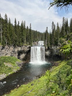
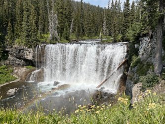
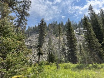
We had a short 3 mile day, the trail was a bit overgrown, lots of berries and wild flowers in bloom. The amount of berries had us on high alert for bear activity, but the only wildlife we saw were a few pikas in the rocky sections entering the canyon. We took the spur trail down to the Colonnade Falls overlook, which was well worth it, and decided to have lunch down there.
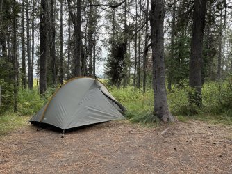
We arrived at campsite 9B6 around 4 pm, to find that previous occupants still hanging around. It appeared to be a dad with his two kids, and as best I could tell, they'd left their food hung up & packs otherwise packed up, and taken a side trip somewhere. My best guess is that they went to Mr Bubbles. Close to an hour later, they were finally hiking out. Mosquitoes were a little heavier than the previous evening, but still not horrible.
Day 3:
We woke up at 6am, in preparation for our 5.3 mile trek to the coveted Gregg Fork campsite. August of 2021, we'd hiked into the Bechler Canyon from the Lonestar TH and Albright Falls was where we had to turn around. We stopped there for an early lunch, and found a few fallen trees had changed the look of the site a bit. The bear pole had been moved as well.
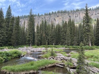
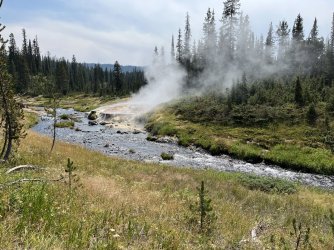
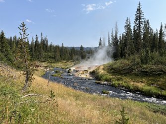
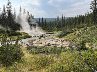
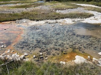
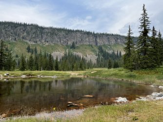
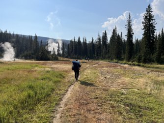
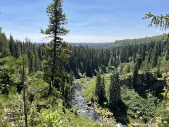
The wildfire haze was getting clearer every day, which was very exciting to me. The last time we hiked into the big open section of the canyon, by the hot springs and ranger station, it was another heavy fire season and the smoke was thick in the air. This time we had nice blue skies, and the hike across that section was much more enjoyable. We were happy to see the 3 rivers junction again; one of the coolest parts of the hike for me.
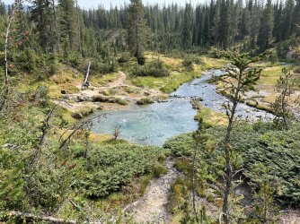
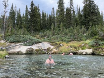
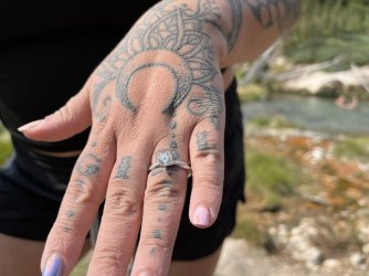
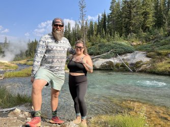
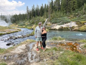
Amber and I had been talking about marriage for the past couple of years. As soon as we got the campsite permits sorted out, I knew I wanted to propose to her at Mr Bubbles. I didn't tell anyone we knew about this plan, because I wanted to keep it a surprise. I hid the ring in a waterproof match case, spent a few hours enjoying the pool waiting for the right moment, trying to think up something cool to say. Eventually she got distracted talking to another couple who was out there. I got behind her, removed the ring from the case, got on one knee, & said her name out loud. She turned around in complete shock, and said yes. It was a very joyous day for all of us.
Day 4:
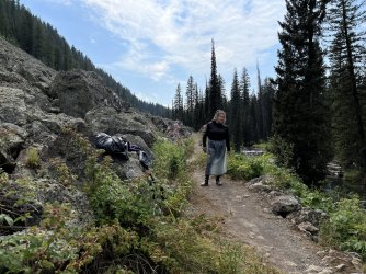
This was a pretty long day of backtracking, 10+ miles back to the campsite right where we crossed Bechler on day 1. Once again we got an early start, so we could stop back in at Mr Bubbles. This time we weren't there to soak, but to take a few group pics & engagement photos, since we didn't make time for any the day before, and who knows when or if we'll be back there again. It rained on & off through most of the afternoon, which wasn't horrible, but hiking through the overgrown section of trail we all got soaked from the waist down. I loaned Amber my rain skirt which helped for a while, but eventually her shoes were soaked through like the rest of us.
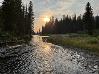
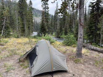
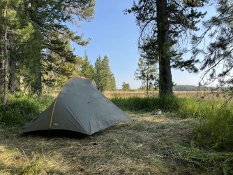
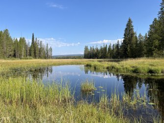
It was nice seeing Iris & Colonnade Falls again. We got to camp around 5pm, everyone completely exhausted. That site had a great view of the river & meadows though, and I think we saw an otter out in the water. No one got a great look before it disappeared into the grass, so it could've been a beaver. The bugs were a little worse at this camp than the other also.
Day 5:
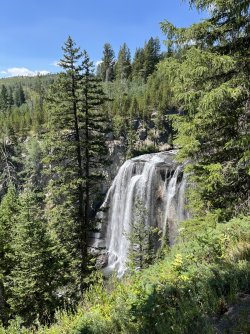
We made our way north across the Bechler Meadows to Boundary Creek. Even though our campsite was south from the trail junction, we all made a detour north toward Dunanda Falls. When we got to the campsite there, it was vacant so we decided to have lunch. Amber and I scrambled down to the water from the campsite, while our friends hiked up the overlook of the falls. We'd hoped to make our way up to the base of the falls off trail, but it took as a while to figure out the best way to get upstream, so we missed out on that unfortunately. When our friends came back, we left our packs with them and made the short hike up to the overlook. We got a nice look at Silver Scarf on the way, and also noticed the haze had cleared up where we could see all the way out to the Tetons. We talked to another group who was also checking out Dunanda, at some point one of the guys said he recognized me from my videos, which was kind of cool.
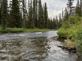
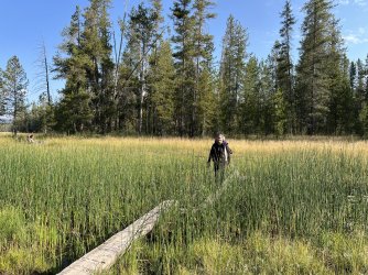
When we got back down to the trail junction, we were in the trees for a bit. Once we got out toward the meadows, we found ourselves again in overgrown trail, this time with a lot of tall willows and very little visibility. This kind of thing makes me extremely nervous when hiking solo. Even with a group of us, we made some extra noise and stayed pretty close together through that section. We had an easy ford of Boundary Creek right near our campsite, it was a hot day and the water was a little on the warm side. After we arrived at camp, we took turns going in pairs down to the creek to rinse off, which felt great.
The mosquitoes were out in full force at this spot, not quite enough to break out the head nets or rain gear, but certainly annoying to the point that we headed to bed a little early. We covered around 7.5 miles, mostly flat with a little bit of a climb right around Dunanda.
Day 6:
This was our hike out day, with 5 easy miles to the trailhead. We got up pretty early, not because we were in a rush, but because it was still chilly and we could enjoy coffee & breakfast before the bugs would be on us. By the time they were really out, we were all packed up and moving. It didn't take long to get past the meadows and into the trees for the remainder of the hike, it was another warm day so the shade was welcome, and it was nice forest to be walking through.
We made it to the trailhead right at 11am, our friend showed up to get us just past noon (which wasn't a big deal, but no one ever believes us when we say it takes an extra hour to get anywhere out there) We headed into West Yellowstone for a late pizza lunch, then checked into our site at Madison Campground. We had enough time to check out Midway & Black Sand Basin, then grab a couple of beers at Old Faithful and watch the eruption from the observation deck, still making it to camp & cooking dinner well before dark.

