John Goering
Member
- Joined
- Sep 30, 2014
- Messages
- 502
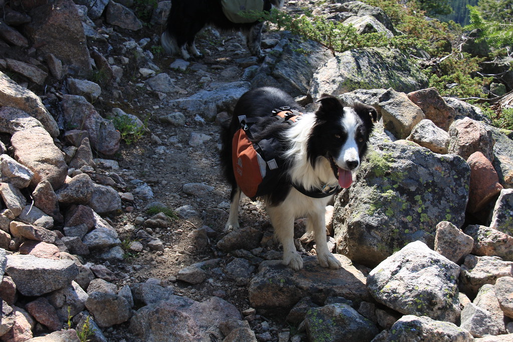
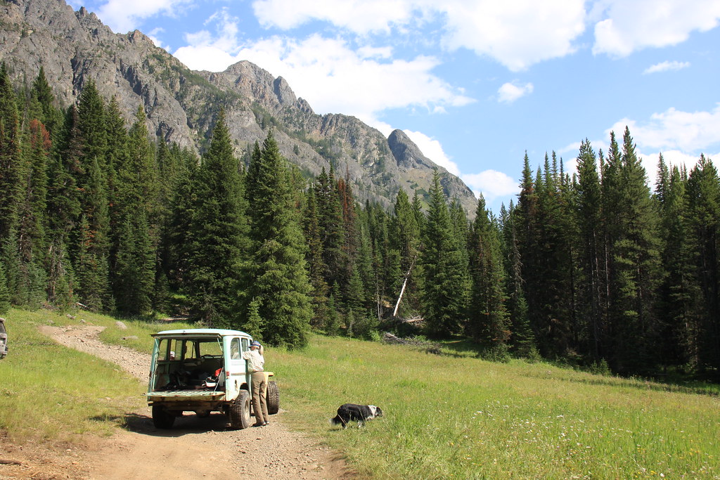
We did this trip July 26 through August 1st. It began by a rendezvous at the Bozeman, MT I90 rest area 8:00 am on the 26th. We caravan-ed the remaining portion, hitting Swingly Road out of Livingston, down the West Boulder River to MT 298 just south of McLeod, and then MT 298 and FS 6639 to the Hicks Park Trailhead (Upsidedown Creek) where all the gear, 6 adults and 3 canines were loaded in the JK for the 9 mile Jeep trail (FS 6639 & 121) to the kickoff near the Absaroka-Beartooth Wilderness boundary just east of Independence Peak on FS Trail 121 (Independence Trail). We entered the Wilderness on FS Trail 121 (old sign still showed 104) and continued to the junction of 121, 104, and 27 at the East Fork of the Boulder River. We camped a short distance up Trail 104 as it was about 6:30 pm by that time.
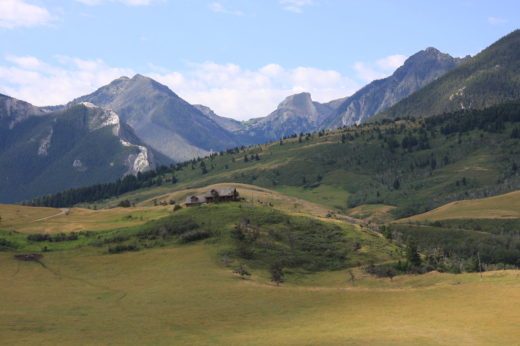
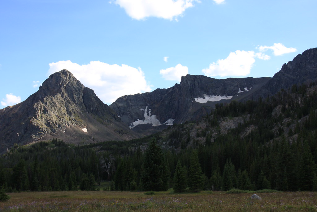
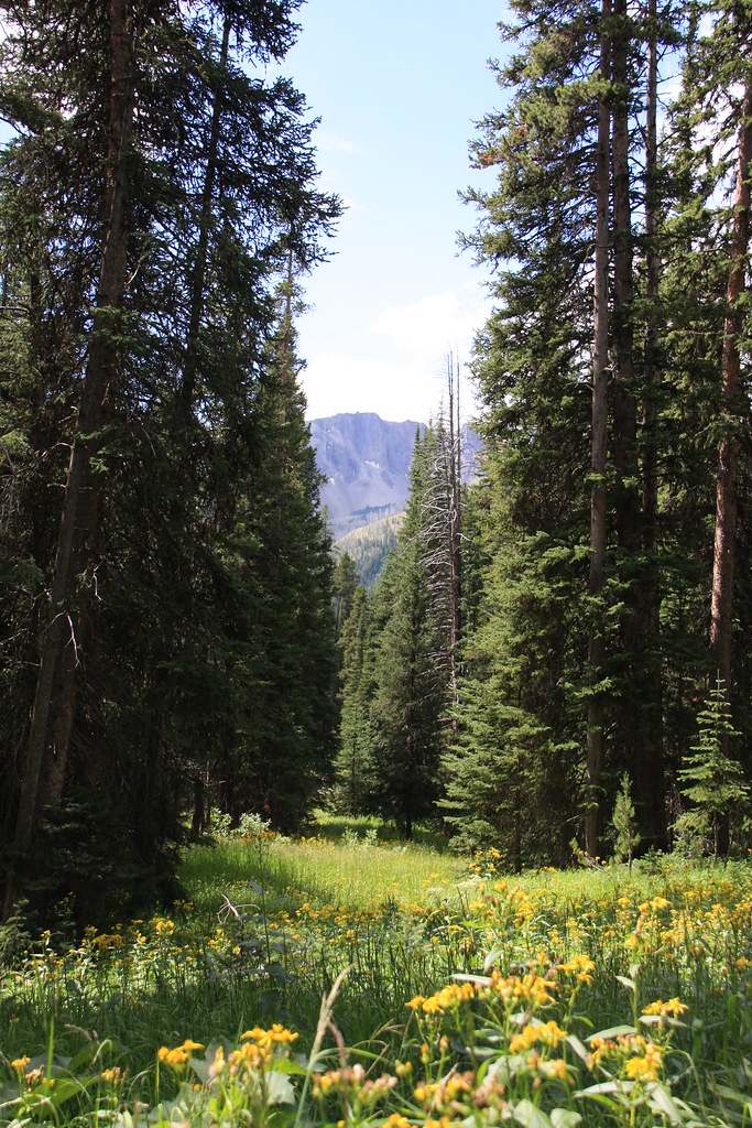
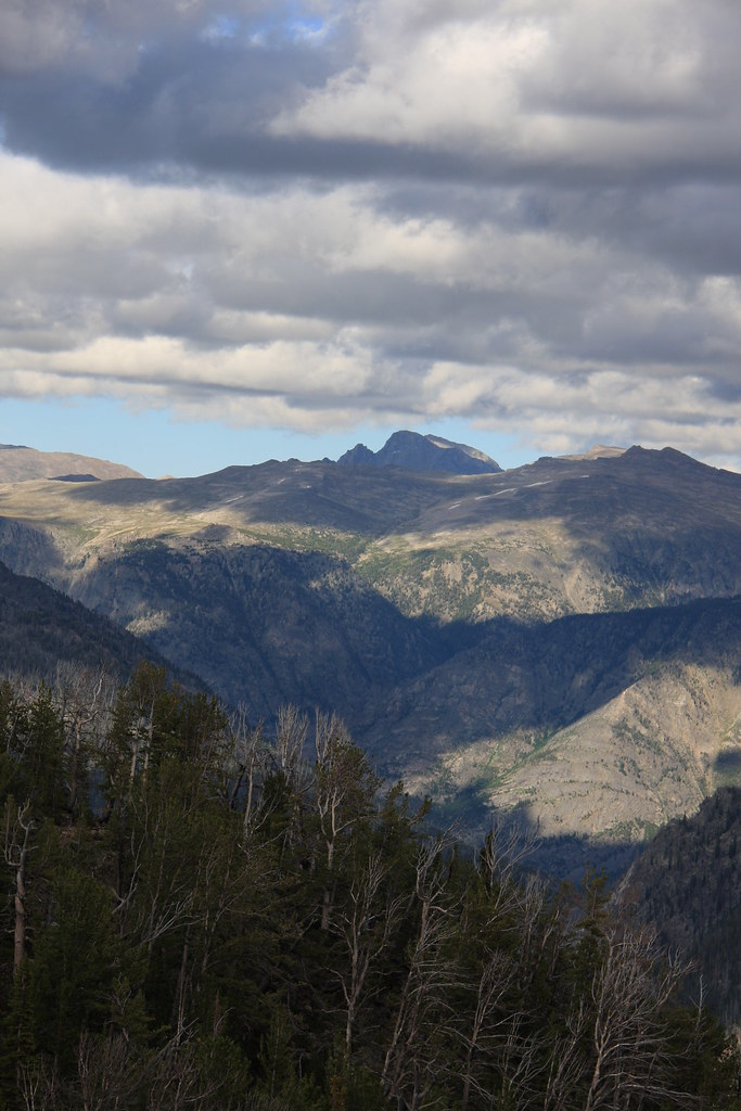
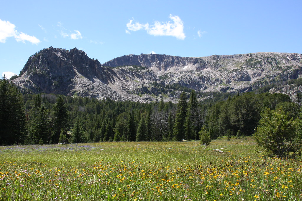
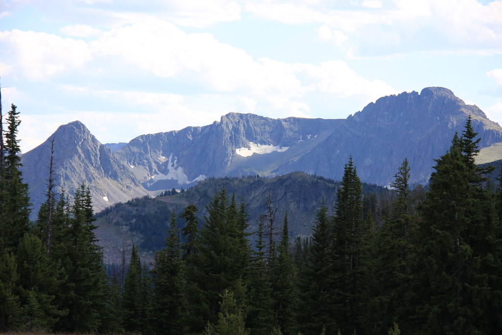
Elephanthead Mountain at the upper end of Mission Creek, about 2.5 miles within the northern end of the Absaroka-Beartooth Wilderness, from Swingley Road (Boulder Road on USGS maps). The view despoiled by what is becoming the new Montana.
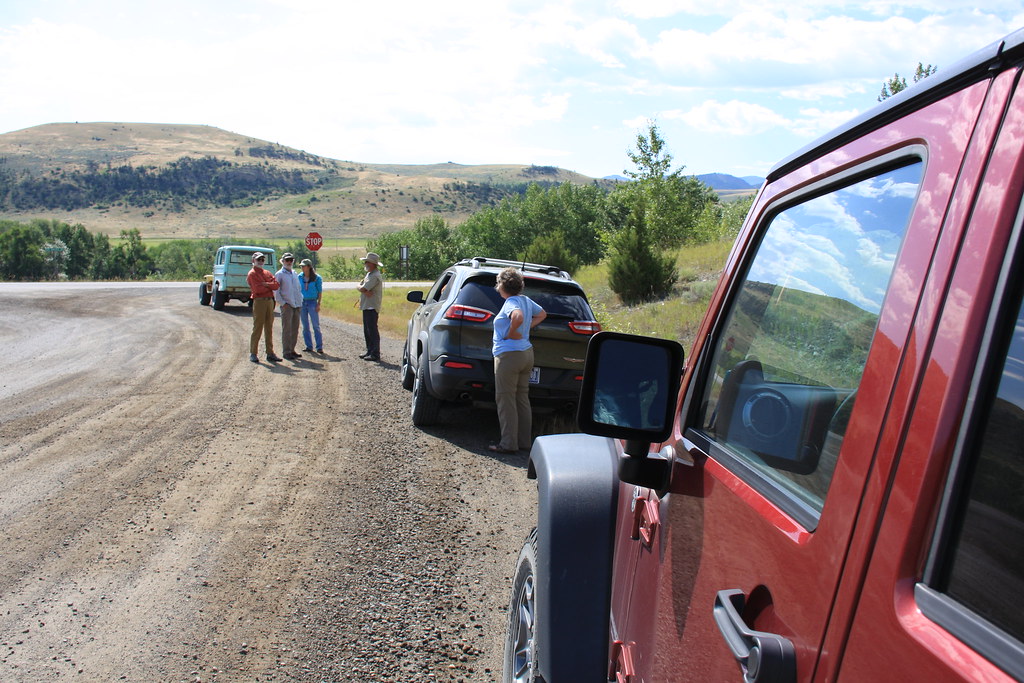
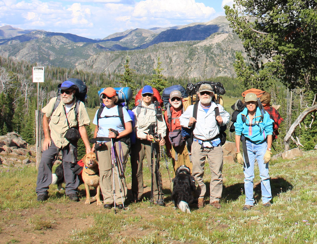
At the junction of Swingley Road and MT 298. This was an all Jeep trip, but a pretty diverse collection.
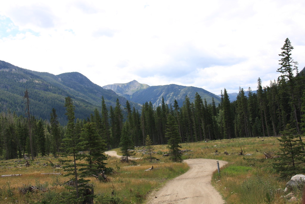
FS Road 6639 a few miles above the forest boundary.
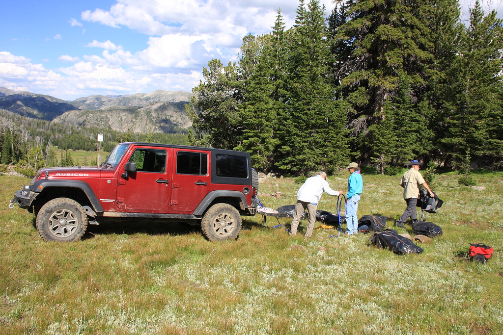
The JK at the kickoff point, trailhead for FS 121 near the wilderness boundary.
This trip was a decidedly geriatric geezer adventure with the mean and median age both being 65 something, ages ranging from 61 to 70.
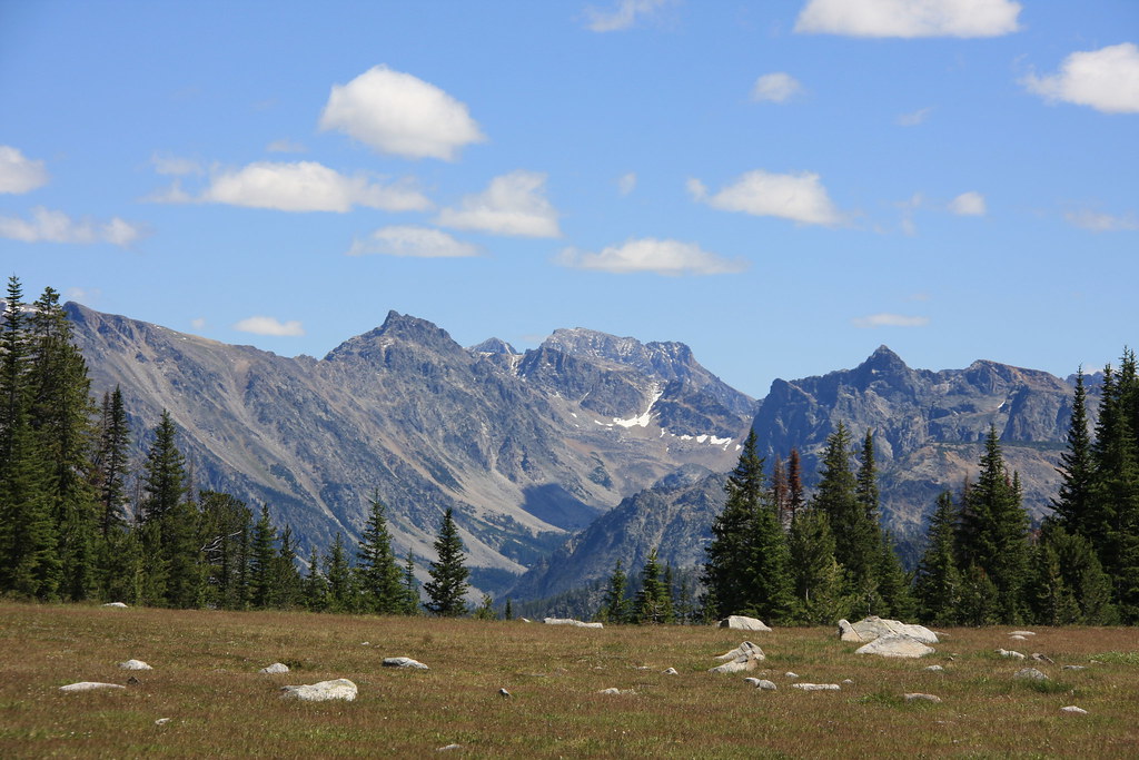
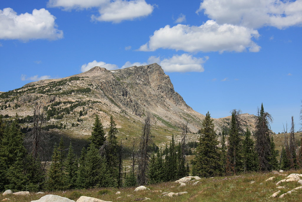
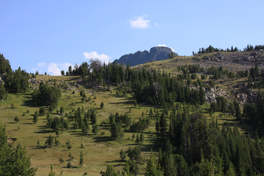
Haystack Peak, from about a mile in on 121.
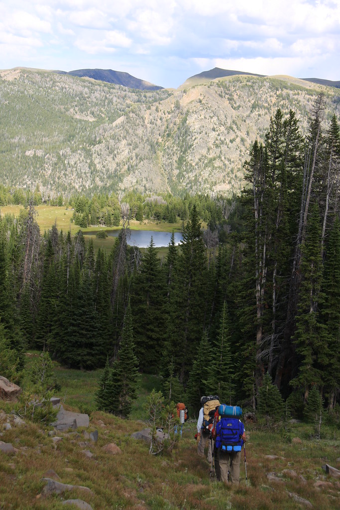
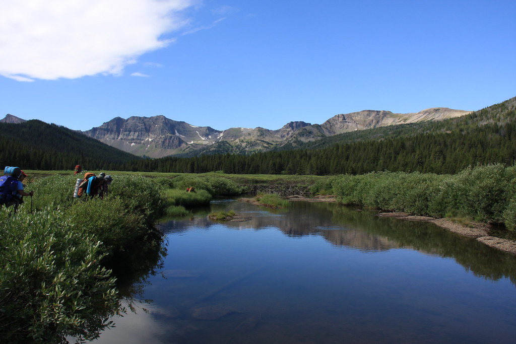
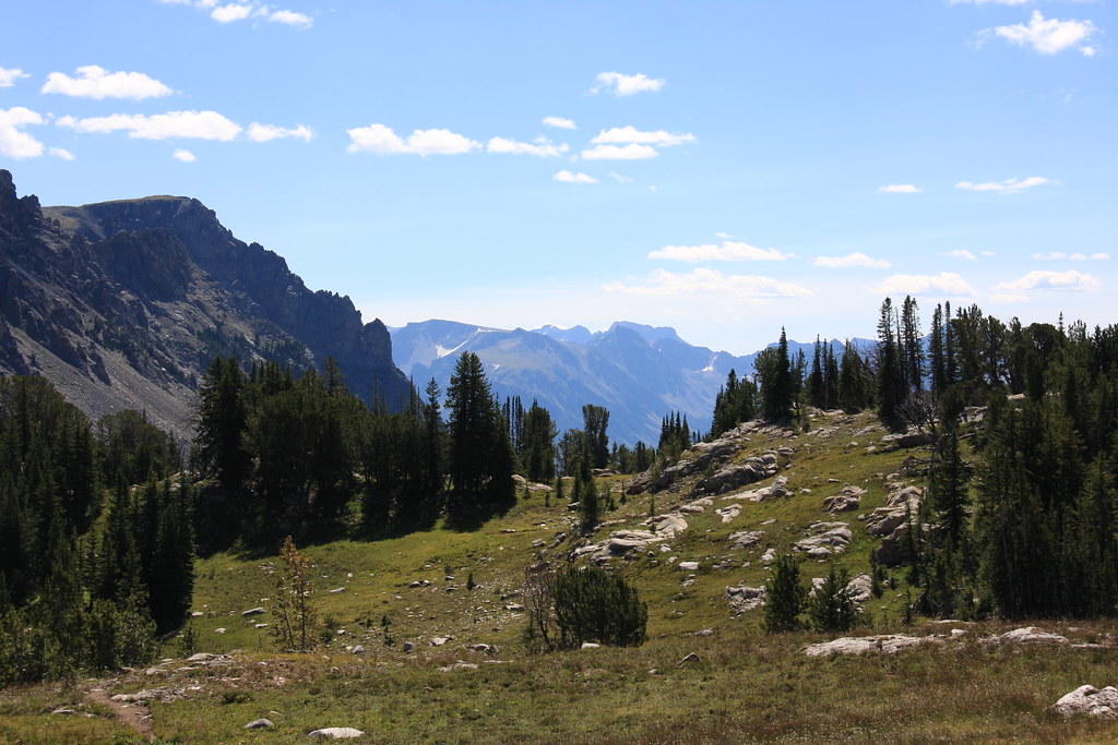
Heading into the East Fork Boulder River Drainage from the trailhead.
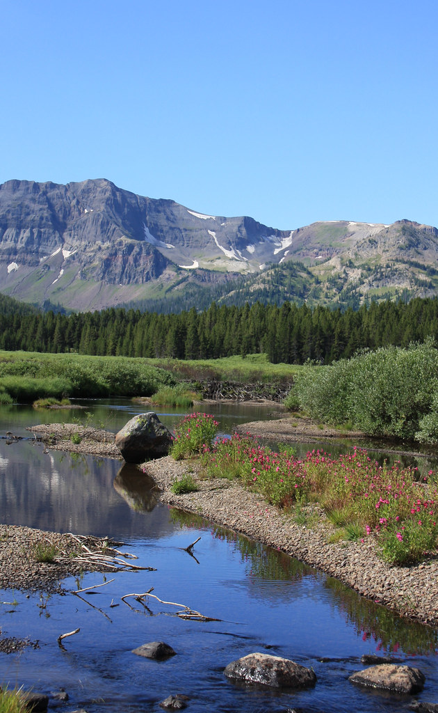
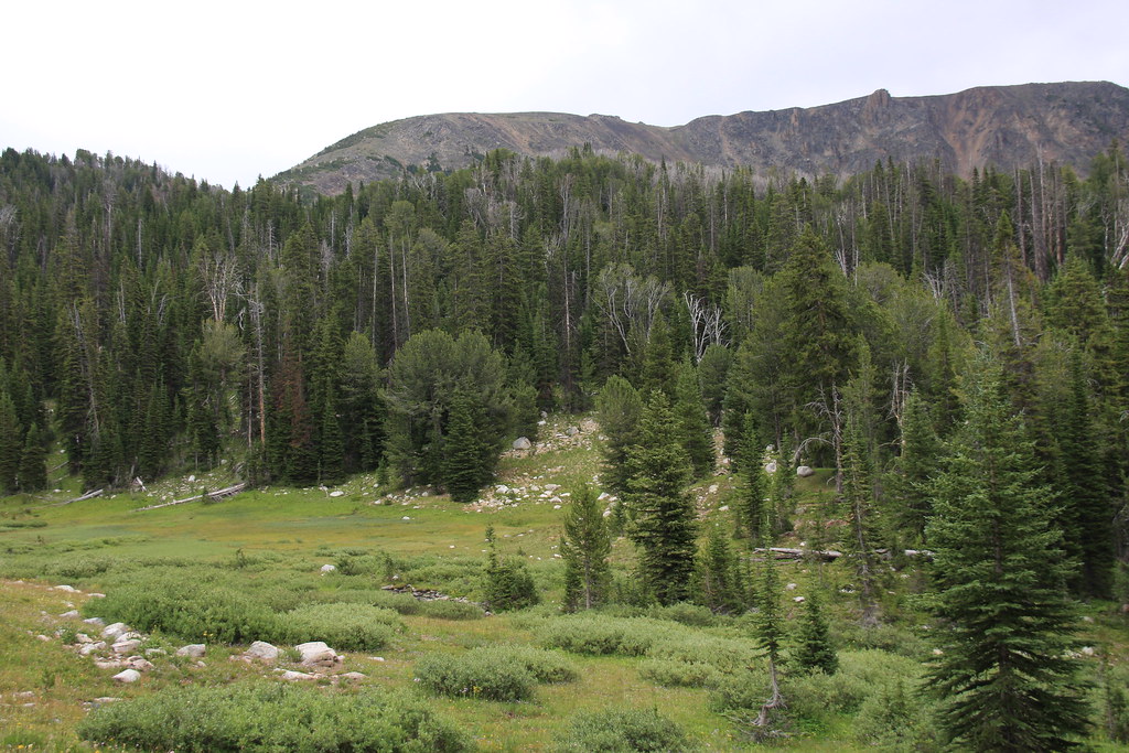
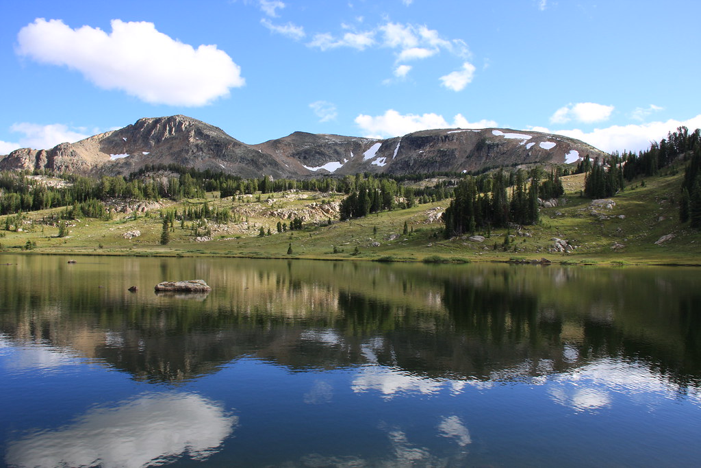
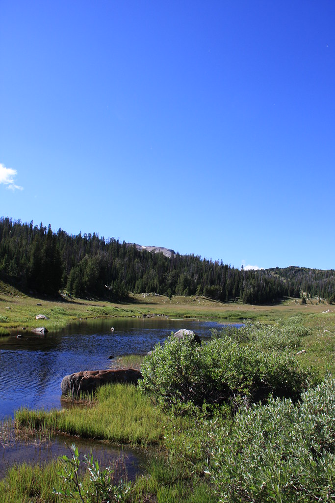
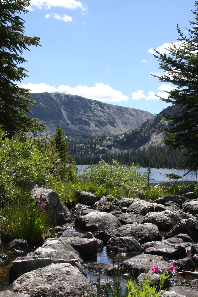
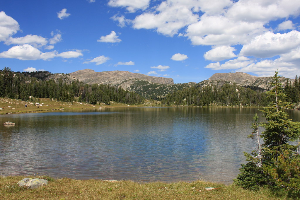
Wet meadows and several small lakes dropping into the East Fork of the Boulder River. Not to be confusing, but there is a West Boulder River, a Boulder River, an East Boulder River, and the East Fork of the Boulder River. All are separate entities.
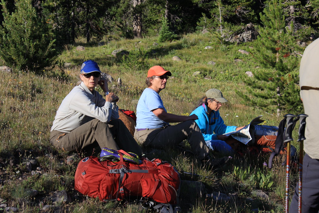
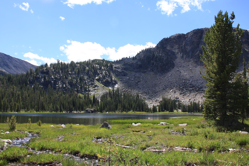
What to do? Deciding where we wanted to camp the first evening.
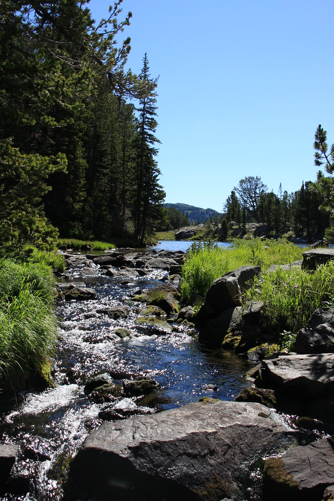
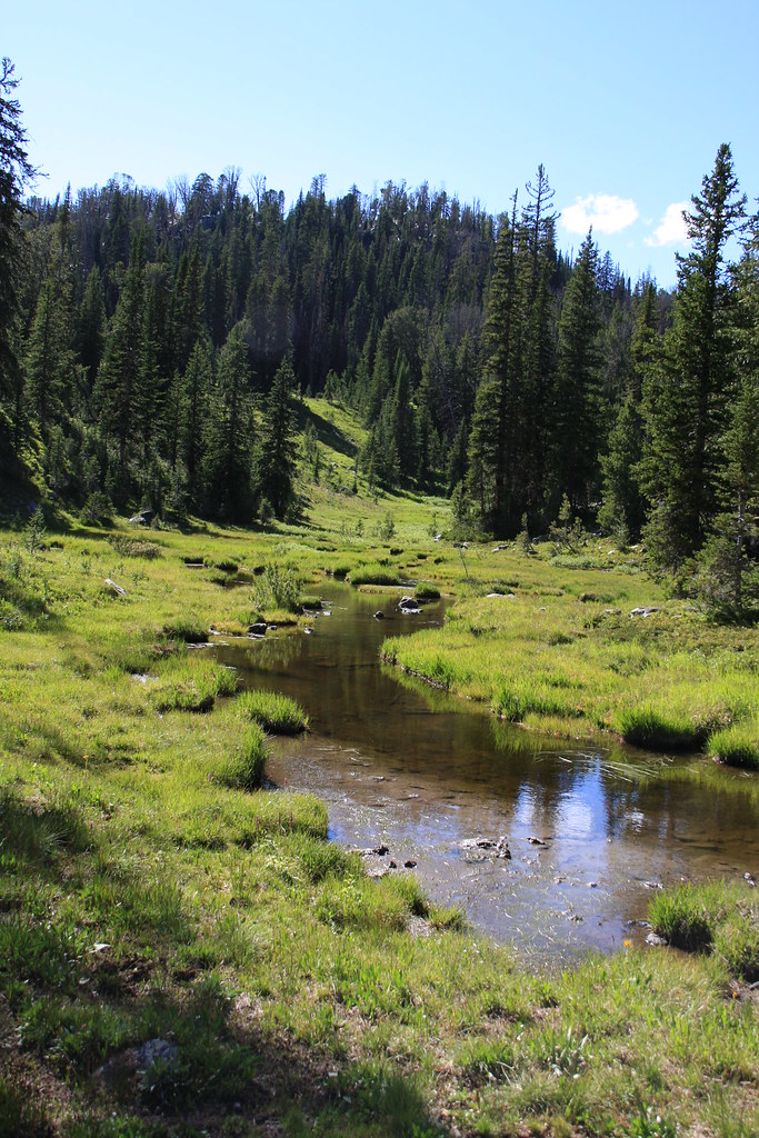
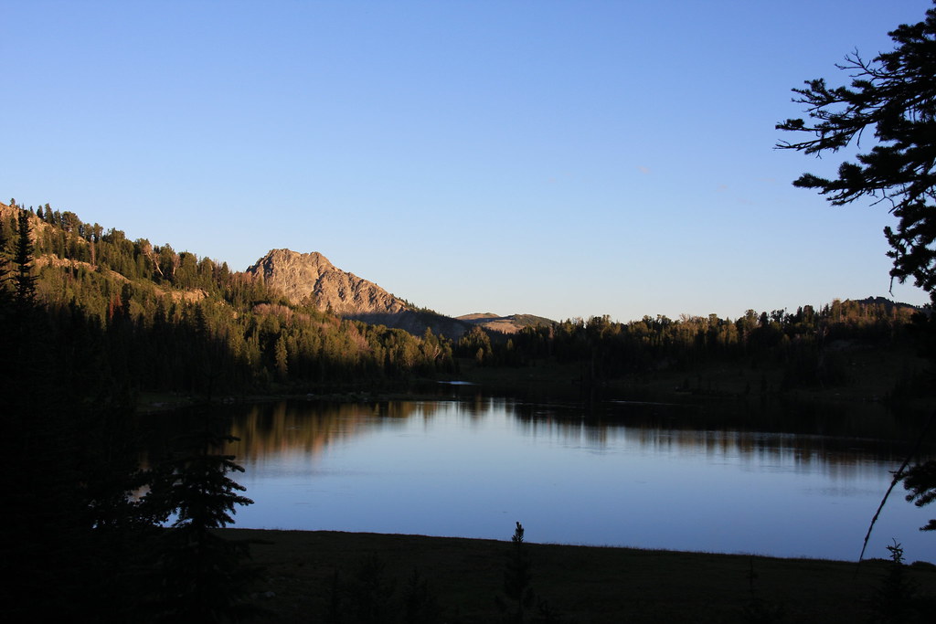
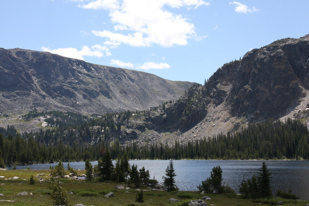
East Fork of the Boulder River near camp.
The next morning arrived cool and clear and we continued about a mile or so on Trail 104 before off-trailing up the upper end of Slough Creek (about 12 miles north of where it enters Yellowstone NP).
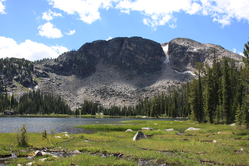
Part of Sheepherder Mountain and what is surely moose heaven, morning of day 2.
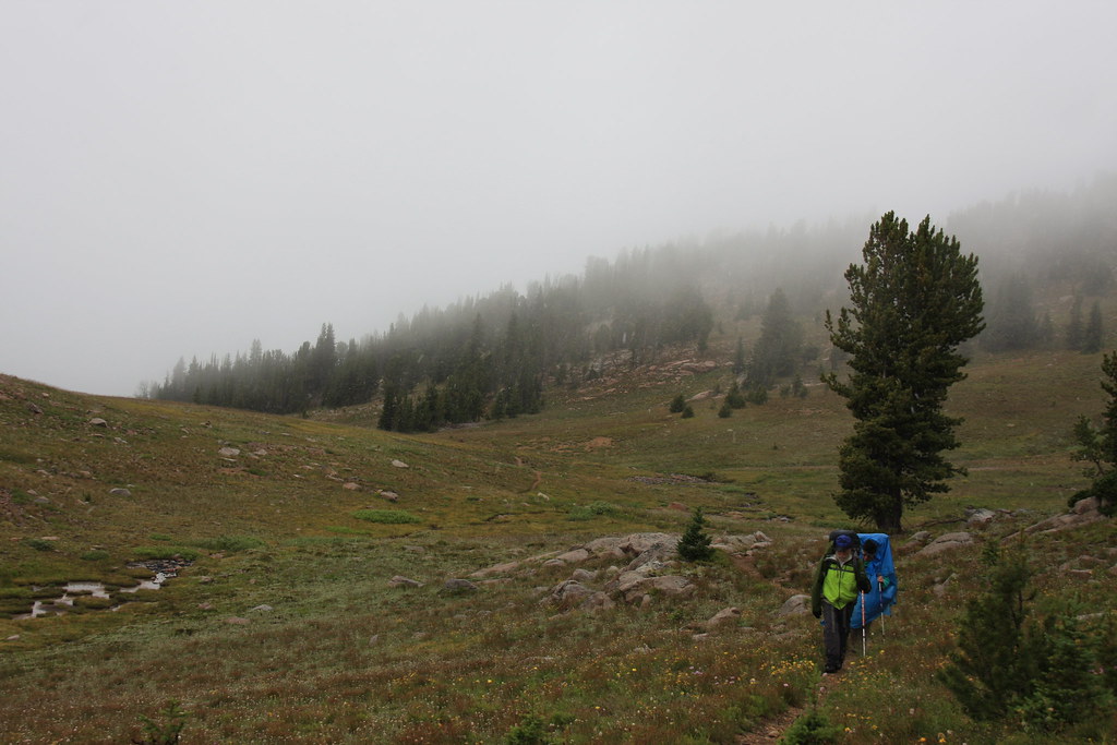
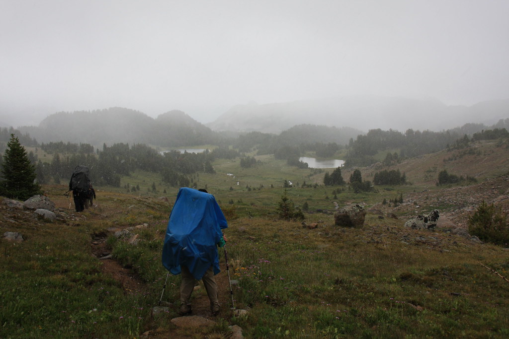
We bushwhacked about 3 miles through burn, heavy timber and then more open timber to the head of Slough Creek and then out on the plateau just short of the west approach to Columbine Pass. It was here that the storm predicted for the day finally caught up to us, starting with rain that quickly turned to snow along with 30 mph wind. It was also here that a member of or 6 person group ran into some problems with medications and had to stop for a breather every 100 yards-not a good situation. It was close to 7:00 pm when we finally made Favonius Lake at the east foot of the pass. We managed to get the tent pitched without getting it too wet, I filtered a couple liters of water at hit the down bag with very cold fingers. We had two very cold canines at that point and we put every last piece of extra clothing over them and it took about an hour before the older one (12 years old) quite shivering. That was good because the last option was wet dog in the down bag.
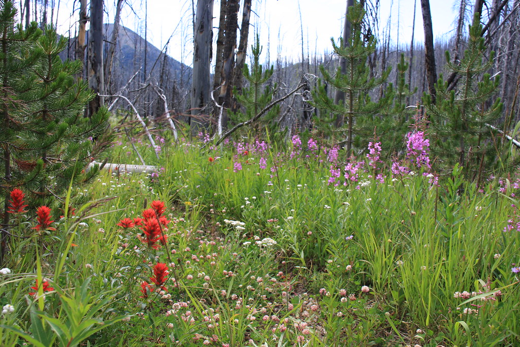
Part of FS Trail 104 traverses an old burn (probably the 2006 or 2007 fires-definitely more recent than the 88 Yellowstone fires). The flora was in full bloom.
The first part of the bushwhacking after leaving FS 104 was more of the same burn (tough going), or spruce/subalpine fir (even tougher going), but here and there were a few openings to look at the view across upper Slough Creek.
Eventually, the bushwhacking lead to more open whitebark pine terrain, and near the upper end, some wet meadows.
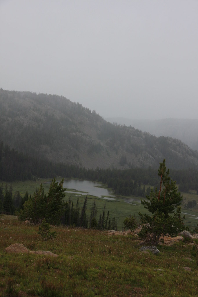
We arrived on the divide above Columbine Lake at the same time as the predicted storm. Columbine Lake.
Columbine Pass.
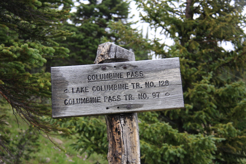
Why would anyone change a trail number just because you have a pass?
Favonius and Pentad Lakes in the sleet.
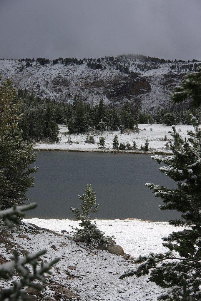
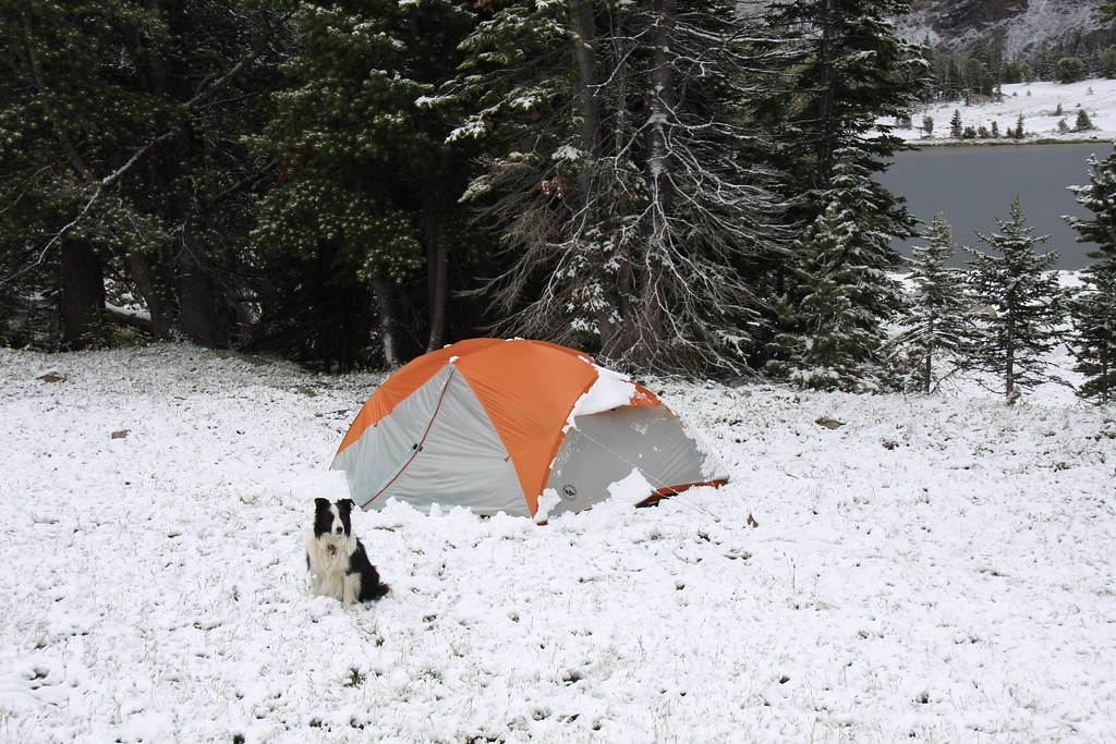
We were greeted the morning of day 3 with 3 to 4 inches of heavy wet snow and decided to chill out (forgive the pun) for the day as we had two days built into the trip for day hikes. It didn't warm up very quickly but by mid afternoon most of the snow was melted and my wife and I did a short hike to the east of camp.
Morning of day 3 at Favonius Lake.
Twin Peaks, afternoon day 3.
Favonius Lake, afternoon of day 3.
Day four started clear and cool, with no bugs anywhere. This was an entirely on-trail hike following FS Trails 97, 90 (over Jordan Pass), and finally a short reach of 91 to a camp on the north end of Wounded Man Lake-something close to 7 miles.
Outlet of Favonius, morning of day 4.
Pentad Lake.
South side of Jordan Pass.
Looking northeast into Wounded Man Creek from near Jordan Pass.
Heading down the switchbacks on the north side of Jordan Pass. Most of this reach is in the timber, but you are treated to a few views in the talus.
Wounded Man Creek at the bottom of the pass.
Wounded Man Creek immediately below Wounded Man Lake.
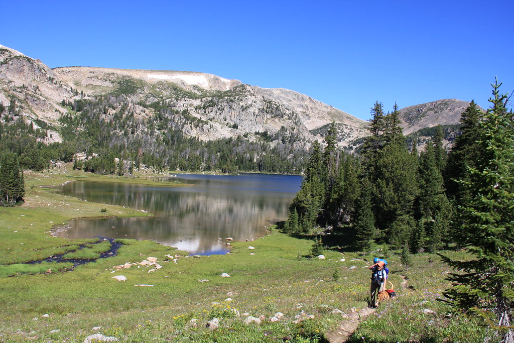
We found a nice camping area on the north side of the Lake. Wounded Man Lake evening day 4.
By the morning of day 5, it was warming up with a corresponding dose of the Beartooth's famous skeeters.
Wounded Man Lake and Jordan Mountain, morning day 5.
The goal for the day was a day hike 4 to 5 miles down the top of Flood Creek to Cimmerian Lake, the fifth lake in that chain. Unfortunately we got a late start and decided to bag it at Lake Surrender (appropriate????) as we didn't want to be using flashlights to get back to camp. It was a real pleasant hike anyway.
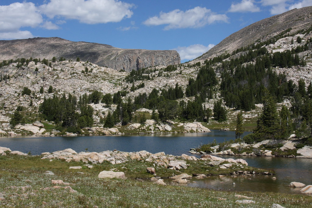
Lake Pinchot.
Pinchot outlet.
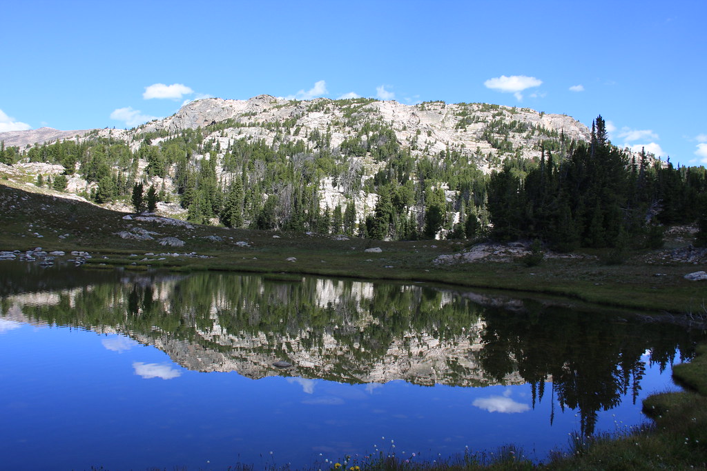
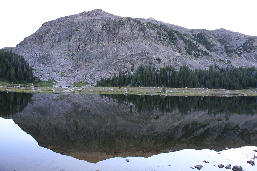
Dreary Lake-actually very pleasant.
And a couple shots of Ravin Lake.
Day six was a move from Wounded Man Lake via FS Trails 26, 28, and 44 to Horseshoe Lake, about 7 miles, saving day seven for the approximately 6 mile exit on FS 26 out Upsidedown Creek to the Hicks Park Trailhead.
Looking south east from FS Trail 44 above Wounded Man Lake.
Owl Lake.
Upper-most of the Rainbow Lakes.
Dropping into the largest of the Rainbow Lakes.
The lowest of the Rainbow Lakes.
It was below lower Rainbow Lake that we turned to FS Trail 26, headed to the Hicks Park Trailhead.
Un-named lake above Horseshoe Lake.
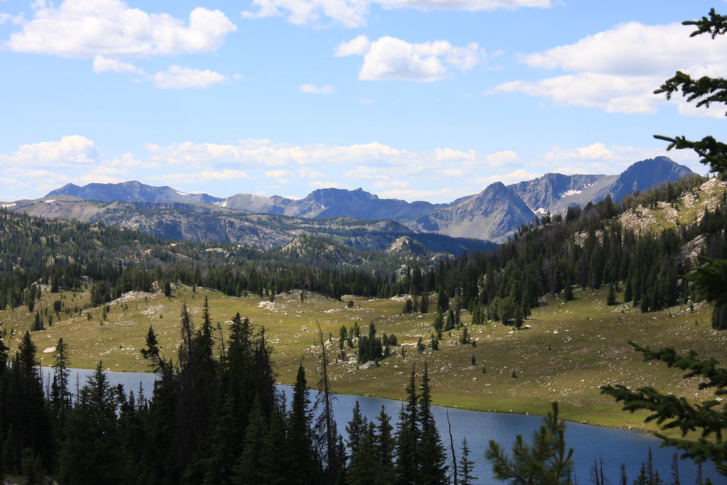
From near camp at Horseshoe Lake looking SW into the upper Boulder River area.
Horseshoe Lake, morning of day 7.
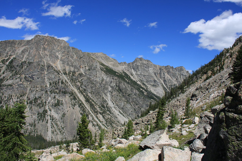
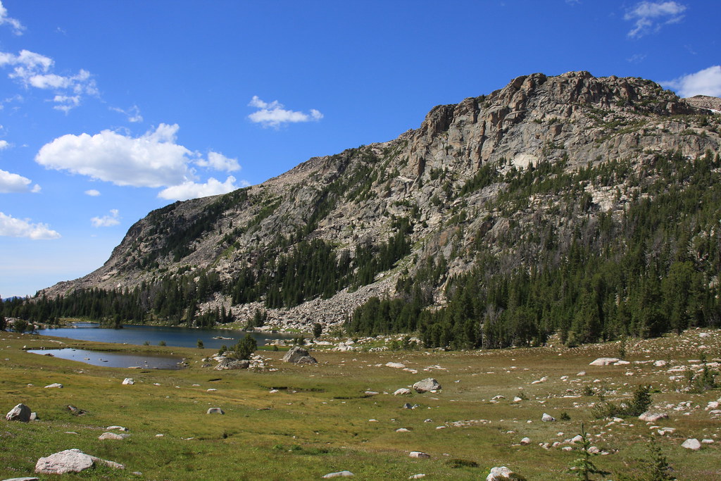
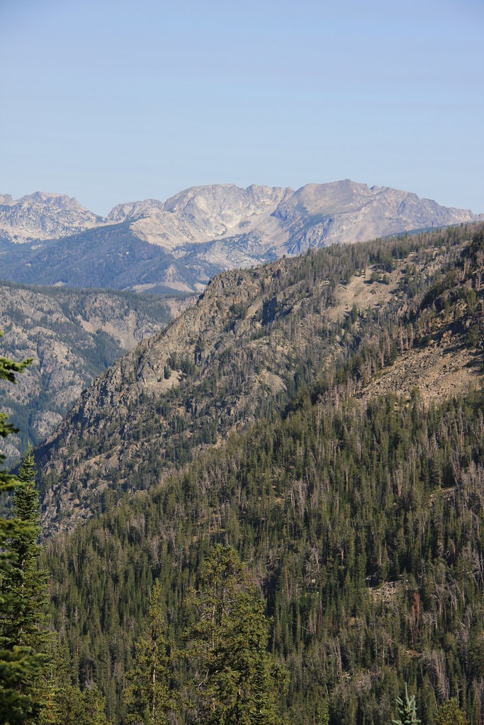
FS Trail 26 doesn't offer too many great views but occasionally when in the open talus there are some.
Looking into the upper Boulder River.
We reached the Hicks Park Trailhead about 1:30 pm on day 7. Fortunately, we were coming down Upsidedown Creek rather than up (FS Trail 26) which we have done several times in the past. There is an oversupply of switchbacks on that trail but some nice views.
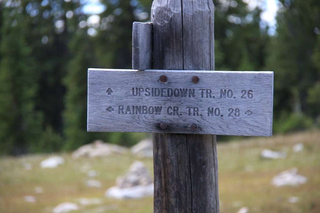
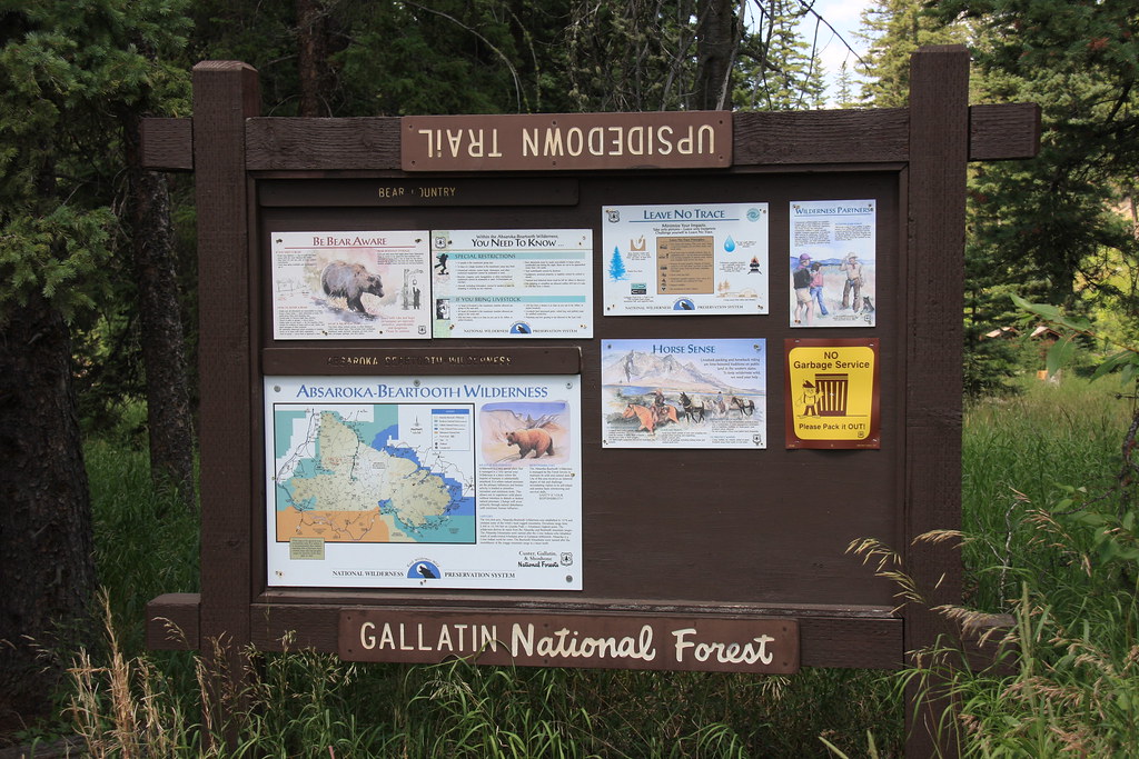
Cutsie FS trailhead sign.
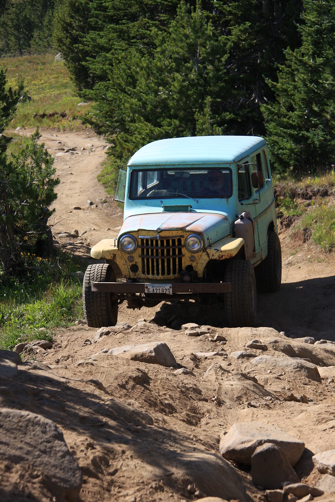
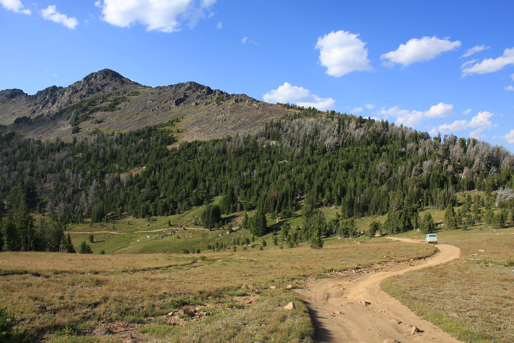
But the adventure wasn't quite over as there was still the 9 miles of Jeep trail to retrieve the JK. And we were going to do it in my friend’s Willys wagon with no skid plates or traction devices. I was fully prepared for another long day hike, but although we needed several different lines in a few places, the Willys did make it. We made it home uneventfully at midnight. A long day.
A few shots of the Willys trip.
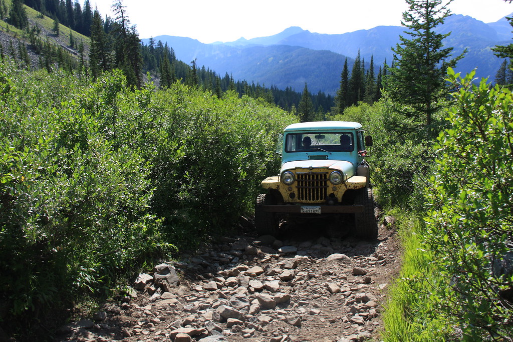
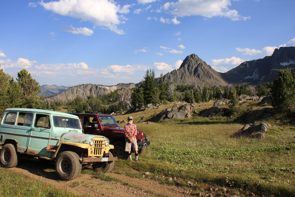
Back where we started.
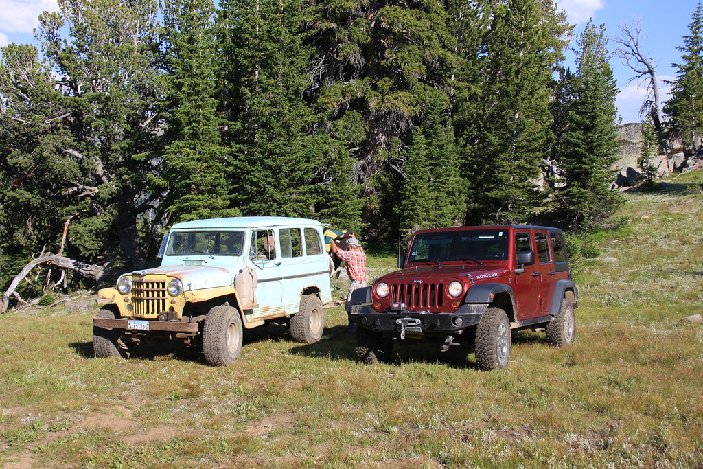
Dene and the Jeeps with Haystack Peak in the background.
Heading home.
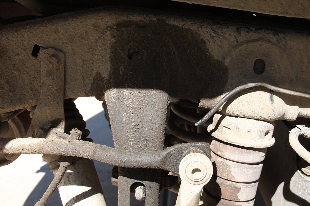
And as an epilogue, I somehow managed to remove the last 6 inches of the steel brake line to my right rear wheel of the JK about a half mile from where we had parked it 7 days previously and we went the 100+ miles home on the front brakes. Coming off the 9 miles of Jeep trail, I was extremely thankful it was a stick shift. We have been pretty happy with the Rubicon, but running brake lines on the outside of the frame rails was not someone’s idea of good engineering. I added a couple Adel clamps to make sure it doesn’t happen again. Fortunately, the fix was less than $20 and I didn’t have to remove the master cylinder to bench bleed it.
Featured image for home page:

Elephanthead Mountain at the upper end of Mission Creek, about 2.5 miles within the northern end of the Absaroka-Beartooth Wilderness, from Swingley Road (Boulder Road on USGS maps). The view despoiled by what is becoming the new Montana.
At the junction of Swingley Road and MT 298. This was an all Jeep trip, but a pretty diverse collection.
FS Road 6639 a few miles above the forest boundary.
The JK at the kickoff point, trailhead for FS 121 near the wilderness boundary.
This trip was a decidedly geriatric geezer adventure with the mean and median age both being 65 something, ages ranging from 61 to 70.
Haystack Peak, from about a mile in on 121.
Heading into the East Fork Boulder River Drainage from the trailhead.
Wet meadows and several small lakes dropping into the East Fork of the Boulder River. Not to be confusing, but there is a West Boulder River, a Boulder River, an East Boulder River, and the East Fork of the Boulder River. All are separate entities.
What to do? Deciding where we wanted to camp the first evening.
East Fork of the Boulder River near camp.
The next morning arrived cool and clear and we continued about a mile or so on Trail 104 before off-trailing up the upper end of Slough Creek (about 12 miles north of where it enters Yellowstone NP).
Part of Sheepherder Mountain and what is surely moose heaven, morning of day 2.
We bushwhacked about 3 miles through burn, heavy timber and then more open timber to the head of Slough Creek and then out on the plateau just short of the west approach to Columbine Pass. It was here that the storm predicted for the day finally caught up to us, starting with rain that quickly turned to snow along with 30 mph wind. It was also here that a member of or 6 person group ran into some problems with medications and had to stop for a breather every 100 yards-not a good situation. It was close to 7:00 pm when we finally made Favonius Lake at the east foot of the pass. We managed to get the tent pitched without getting it too wet, I filtered a couple liters of water at hit the down bag with very cold fingers. We had two very cold canines at that point and we put every last piece of extra clothing over them and it took about an hour before the older one (12 years old) quite shivering. That was good because the last option was wet dog in the down bag.
Part of FS Trail 104 traverses an old burn (probably the 2006 or 2007 fires-definitely more recent than the 88 Yellowstone fires). The flora was in full bloom.
The first part of the bushwhacking after leaving FS 104 was more of the same burn (tough going), or spruce/subalpine fir (even tougher going), but here and there were a few openings to look at the view across upper Slough Creek.
Eventually, the bushwhacking lead to more open whitebark pine terrain, and near the upper end, some wet meadows.
We arrived on the divide above Columbine Lake at the same time as the predicted storm. Columbine Lake.
Columbine Pass.
Why would anyone change a trail number just because you have a pass?
Favonius and Pentad Lakes in the sleet.
We were greeted the morning of day 3 with 3 to 4 inches of heavy wet snow and decided to chill out (forgive the pun) for the day as we had two days built into the trip for day hikes. It didn't warm up very quickly but by mid afternoon most of the snow was melted and my wife and I did a short hike to the east of camp.
Morning of day 3 at Favonius Lake.
Twin Peaks, afternoon day 3.
Favonius Lake, afternoon of day 3.
Day four started clear and cool, with no bugs anywhere. This was an entirely on-trail hike following FS Trails 97, 90 (over Jordan Pass), and finally a short reach of 91 to a camp on the north end of Wounded Man Lake-something close to 7 miles.
Outlet of Favonius, morning of day 4.
Pentad Lake.
South side of Jordan Pass.
Looking northeast into Wounded Man Creek from near Jordan Pass.
Heading down the switchbacks on the north side of Jordan Pass. Most of this reach is in the timber, but you are treated to a few views in the talus.
Wounded Man Creek at the bottom of the pass.
Wounded Man Creek immediately below Wounded Man Lake.
We found a nice camping area on the north side of the Lake. Wounded Man Lake evening day 4.
By the morning of day 5, it was warming up with a corresponding dose of the Beartooth's famous skeeters.
Wounded Man Lake and Jordan Mountain, morning day 5.
The goal for the day was a day hike 4 to 5 miles down the top of Flood Creek to Cimmerian Lake, the fifth lake in that chain. Unfortunately we got a late start and decided to bag it at Lake Surrender (appropriate????) as we didn't want to be using flashlights to get back to camp. It was a real pleasant hike anyway.
Lake Pinchot.
Pinchot outlet.
Dreary Lake-actually very pleasant.
And a couple shots of Ravin Lake.
Day six was a move from Wounded Man Lake via FS Trails 26, 28, and 44 to Horseshoe Lake, about 7 miles, saving day seven for the approximately 6 mile exit on FS 26 out Upsidedown Creek to the Hicks Park Trailhead.
Looking south east from FS Trail 44 above Wounded Man Lake.
Owl Lake.
Upper-most of the Rainbow Lakes.
Dropping into the largest of the Rainbow Lakes.
The lowest of the Rainbow Lakes.
It was below lower Rainbow Lake that we turned to FS Trail 26, headed to the Hicks Park Trailhead.
Un-named lake above Horseshoe Lake.
From near camp at Horseshoe Lake looking SW into the upper Boulder River area.
Horseshoe Lake, morning of day 7.
FS Trail 26 doesn't offer too many great views but occasionally when in the open talus there are some.
Looking into the upper Boulder River.
We reached the Hicks Park Trailhead about 1:30 pm on day 7. Fortunately, we were coming down Upsidedown Creek rather than up (FS Trail 26) which we have done several times in the past. There is an oversupply of switchbacks on that trail but some nice views.
Cutsie FS trailhead sign.
But the adventure wasn't quite over as there was still the 9 miles of Jeep trail to retrieve the JK. And we were going to do it in my friend’s Willys wagon with no skid plates or traction devices. I was fully prepared for another long day hike, but although we needed several different lines in a few places, the Willys did make it. We made it home uneventfully at midnight. A long day.
A few shots of the Willys trip.
Back where we started.
Dene and the Jeeps with Haystack Peak in the background.
Heading home.
And as an epilogue, I somehow managed to remove the last 6 inches of the steel brake line to my right rear wheel of the JK about a half mile from where we had parked it 7 days previously and we went the 100+ miles home on the front brakes. Coming off the 9 miles of Jeep trail, I was extremely thankful it was a stick shift. We have been pretty happy with the Rubicon, but running brake lines on the outside of the frame rails was not someone’s idea of good engineering. I added a couple Adel clamps to make sure it doesn’t happen again. Fortunately, the fix was less than $20 and I didn’t have to remove the master cylinder to bench bleed it.
Featured image for home page:
Last edited: