hatchcanyon
Member
- Joined
- May 29, 2013
- Messages
- 136
Summer of 2009. Monsoon season was in full swing. Nevertheless we were on a trip from Moab - on the bright side - to the area east of the Escalante River. Approaching Hanksville we could see dark clouds to the West.
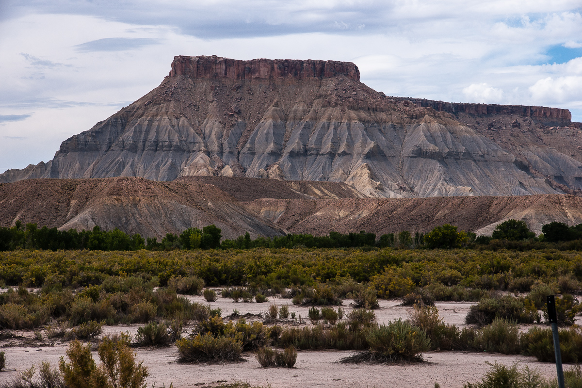
Middle of the road - between North and South Caineville Mesa on State Route 24
We hat often seen these Mesas in sunshine, the more diffuse light this day was completely different.
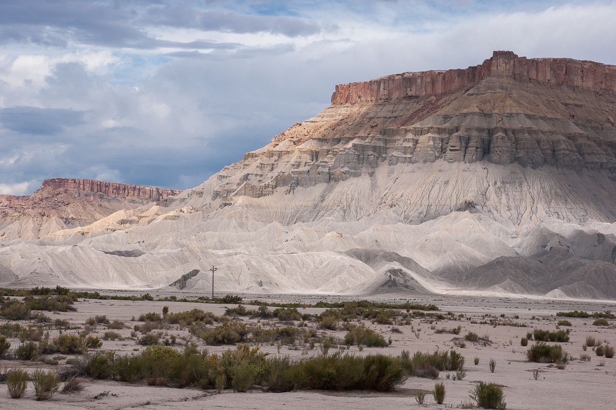
South Caineville Mesa across Fremont River
North Caineville Mesa
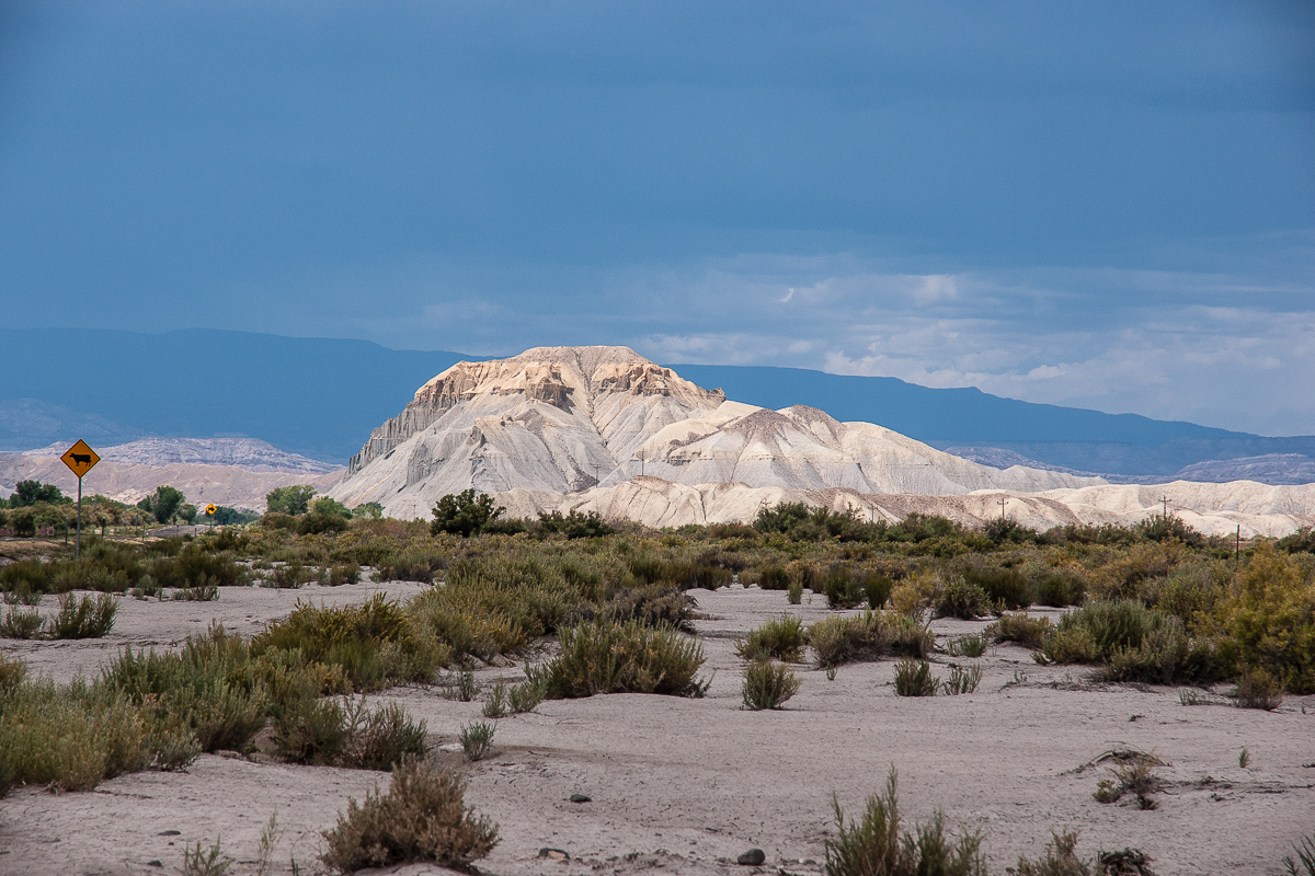
We stopped there to take some pictures especially from Factory Butte.
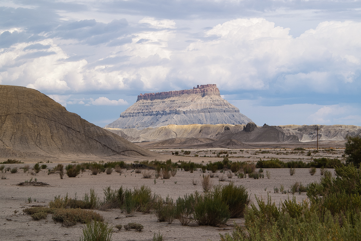
Factory Butte - what a beauty!
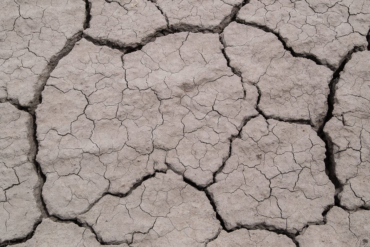
Mud Cracks
Even if it is called "Blue Gate" and Factory Butte sits on the Upper Blue Hills - it's grey for us. But we like it!
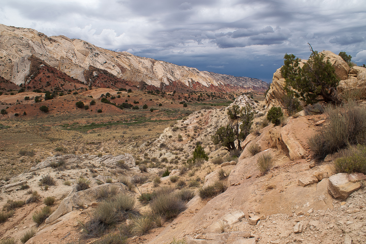
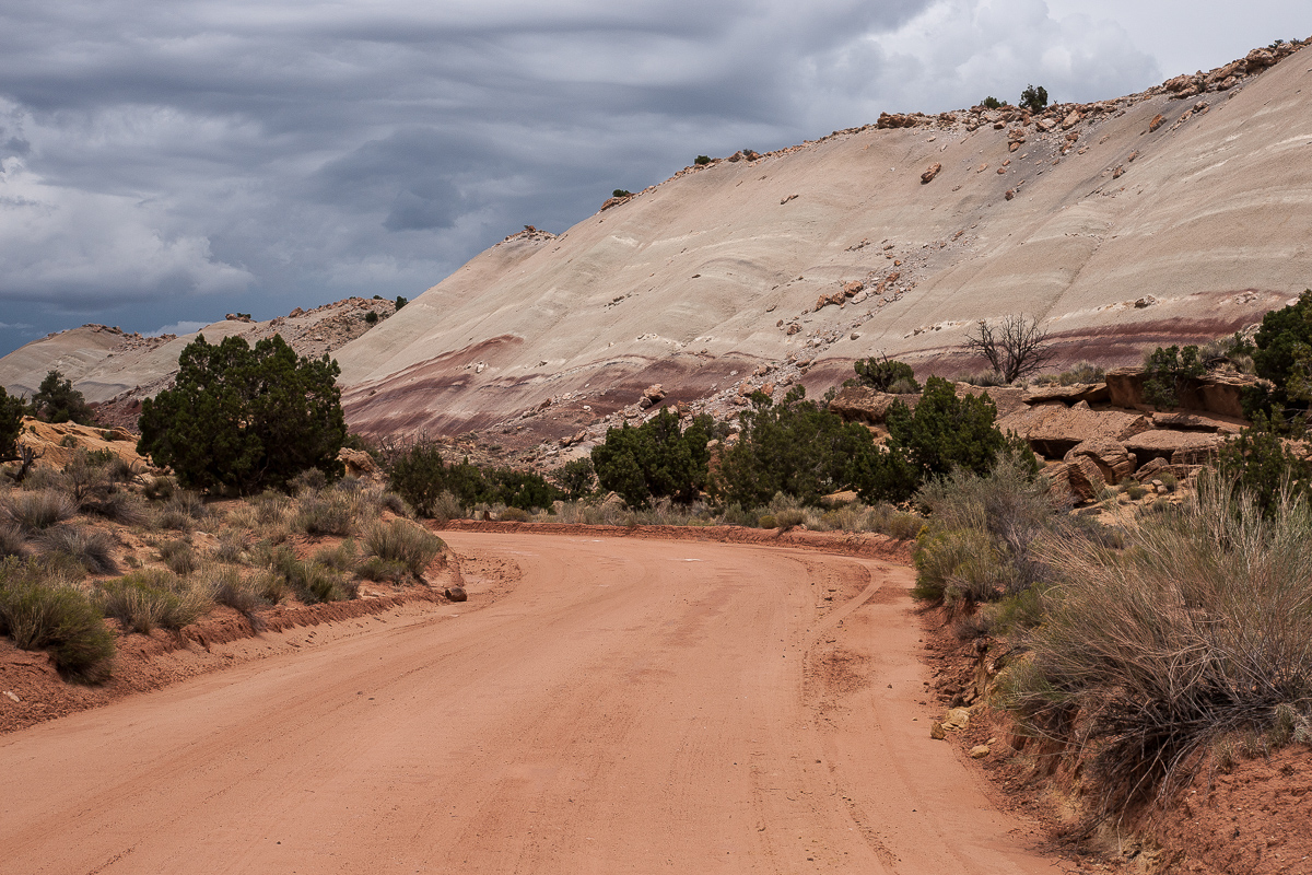
Meanwhile the Thunderstorm had moved more or less in our direction. Due to the fact that the plan was to use Notom Road respectively Burr Trail we saw a chance to avoid the bad weather.
The thunderstorm moved over Boulder Mountain
It was a fantastic mix of light. Selective spots of sunshine like on the hill in the picture above created some dramatic scenes.
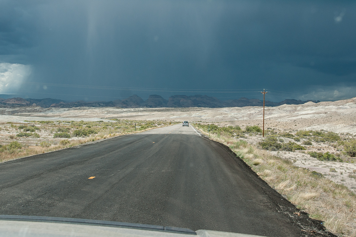
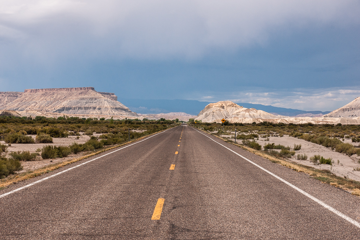
On UT 24 west of Caineville
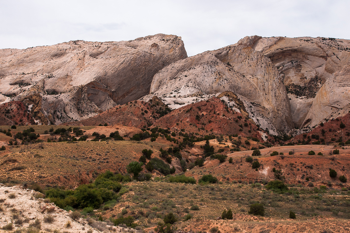
To the West the situation did not get better, Capitol Reef was drenched with rain but we recognized a northeastern drift of the storm. Good chance that it saves our day by a mile or so.
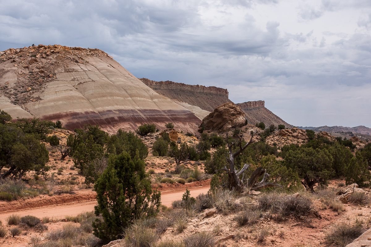
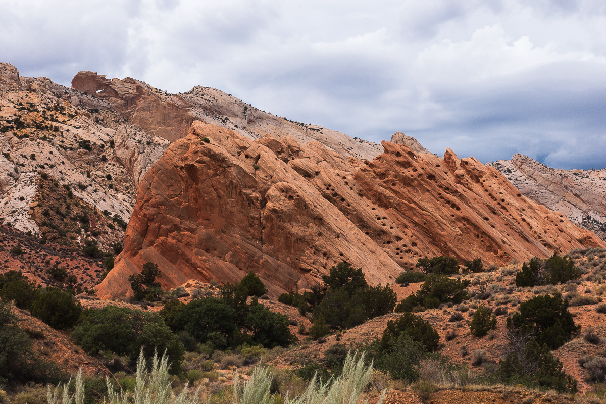
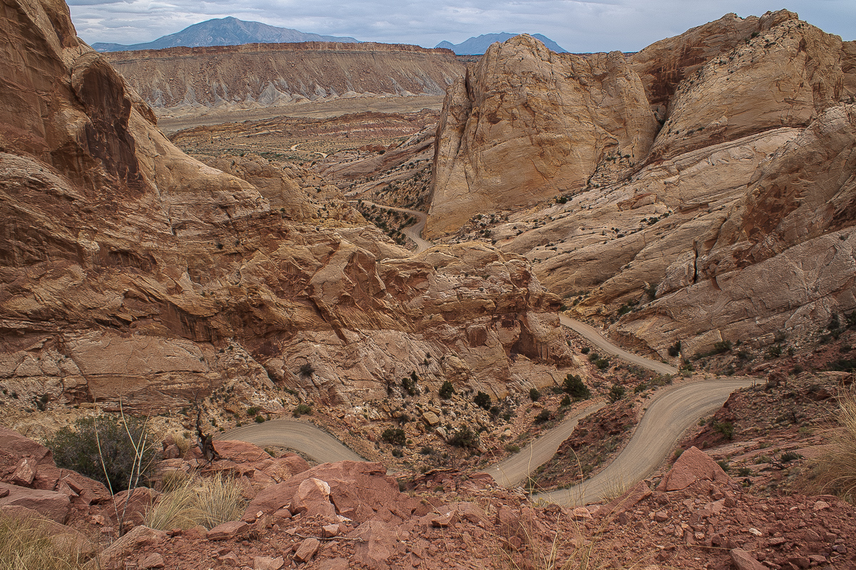
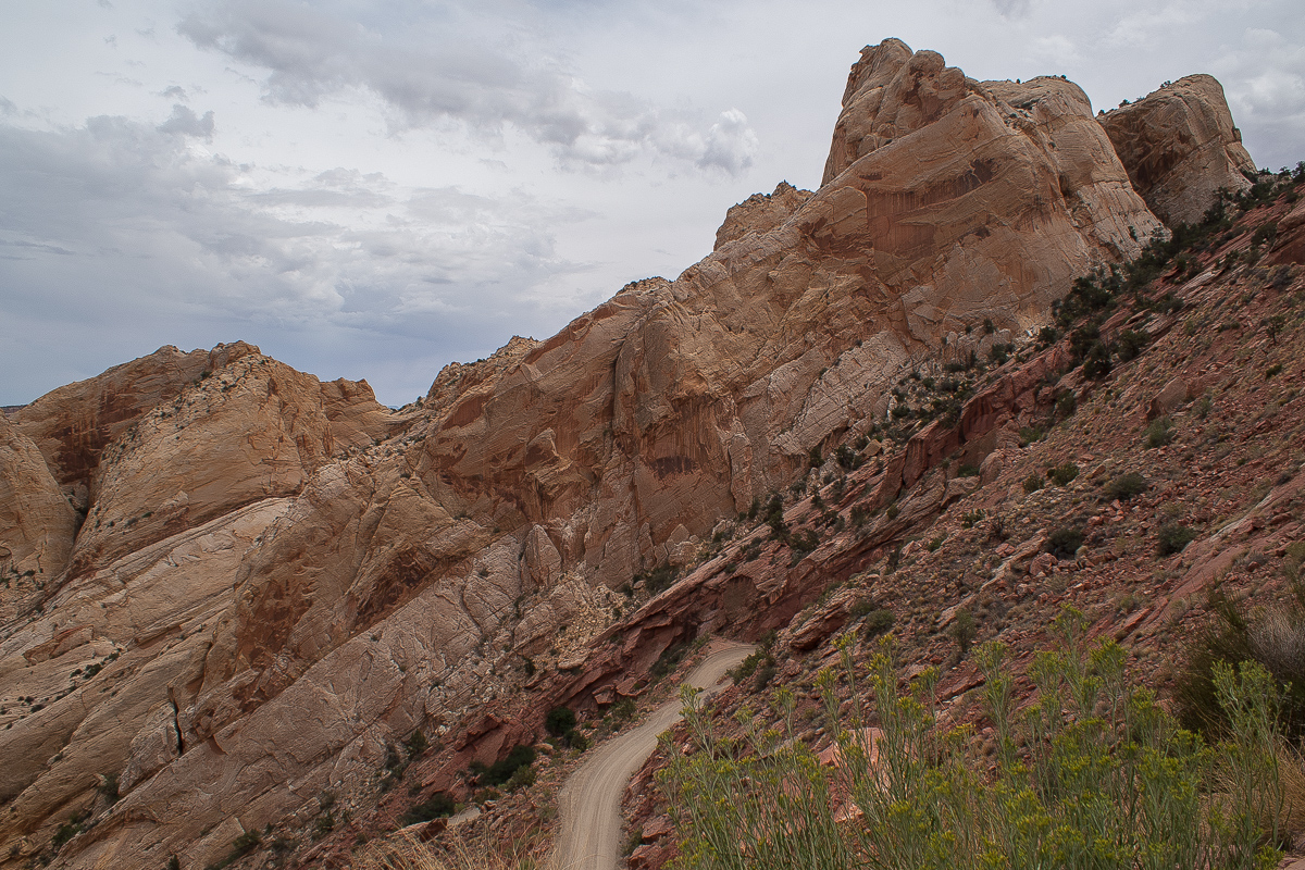
In fact we reached Notom Road without rain and to the South it looked bright.
Featured image for home page:

Middle of the road - between North and South Caineville Mesa on State Route 24
We hat often seen these Mesas in sunshine, the more diffuse light this day was completely different.
South Caineville Mesa across Fremont River
North Caineville Mesa
We stopped there to take some pictures especially from Factory Butte.
Factory Butte - what a beauty!
Mud Cracks
Even if it is called "Blue Gate" and Factory Butte sits on the Upper Blue Hills - it's grey for us. But we like it!
Meanwhile the Thunderstorm had moved more or less in our direction. Due to the fact that the plan was to use Notom Road respectively Burr Trail we saw a chance to avoid the bad weather.
The thunderstorm moved over Boulder Mountain
It was a fantastic mix of light. Selective spots of sunshine like on the hill in the picture above created some dramatic scenes.
On UT 24 west of Caineville
To the West the situation did not get better, Capitol Reef was drenched with rain but we recognized a northeastern drift of the storm. Good chance that it saves our day by a mile or so.
In fact we reached Notom Road without rain and to the South it looked bright.
Featured image for home page:
Last edited: