I hiked this peak a couple weeks ago on June 4th. While it wasn't an incredibly long hike, this peak is seldom climbed and I have yet to find anything about it on the internet other than a few articles mentioning its existence. I'm hoping that this will shed a little light on what it's like to summit this nice peak.
I can think of at least 2 feasible routes to the summit--one starting from the mouth of Providence Canyon, the other would be to hike up Leatham Hollow, which begins in the Left-Hand fork of Blacksmith Fork Canyon, then bushwhack to the summit. I live closer to Providence Canyon and have had that route mapped out in my head for quite some time, so I began there.
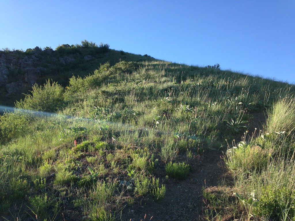
Essentially, it's just a walk up a ridge the whole way, so it's easy to stay on track. I was surprised to find a decent trail as I began my ascent.
Here's a view of the peak from a little ways up.
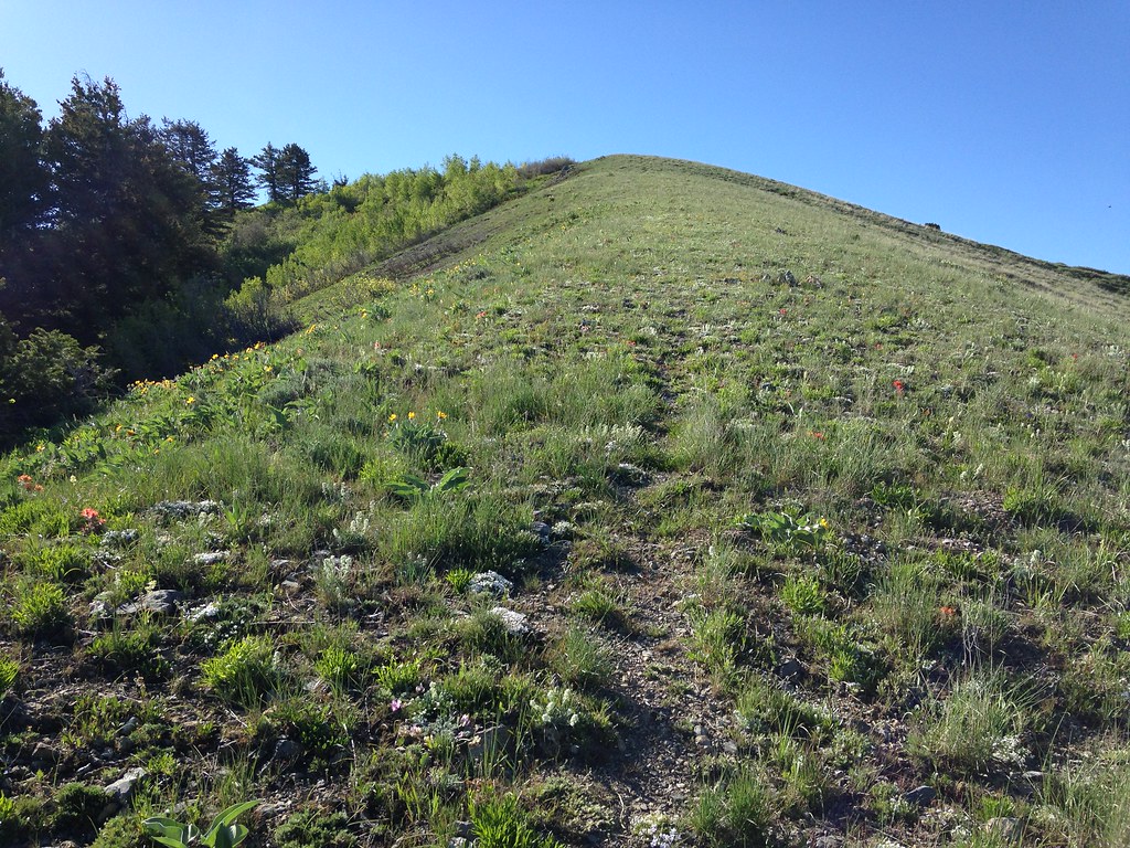
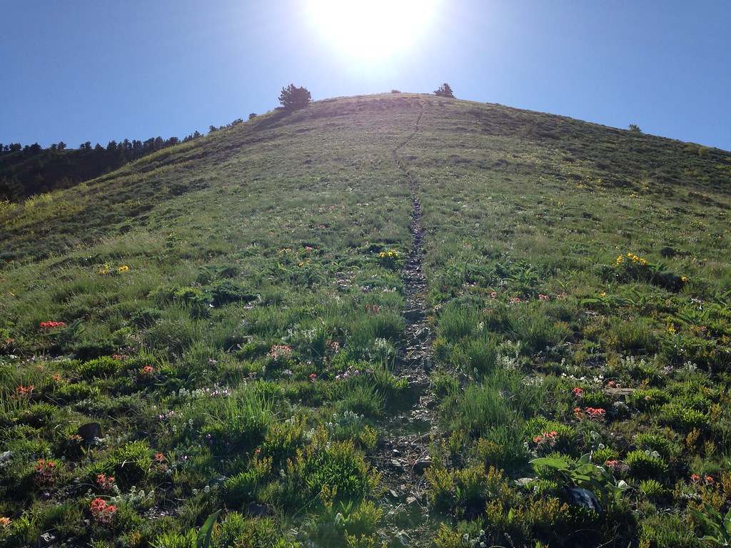
The trail continues with no switchbacks strait up the ridge, looking like this for most of the way. It's a steep climb up, but I didn't think it was too terrible. Coming down was pretty terrible, though.
I thought it was neat as shown in the previous photo to be between two different types of forest.
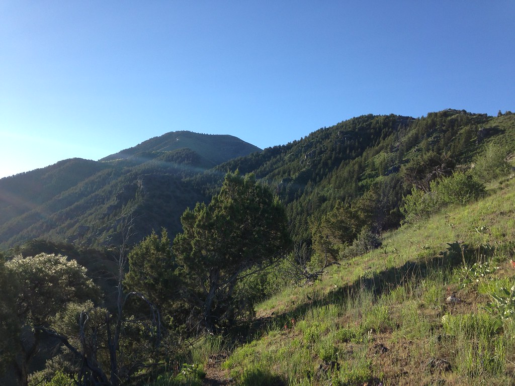
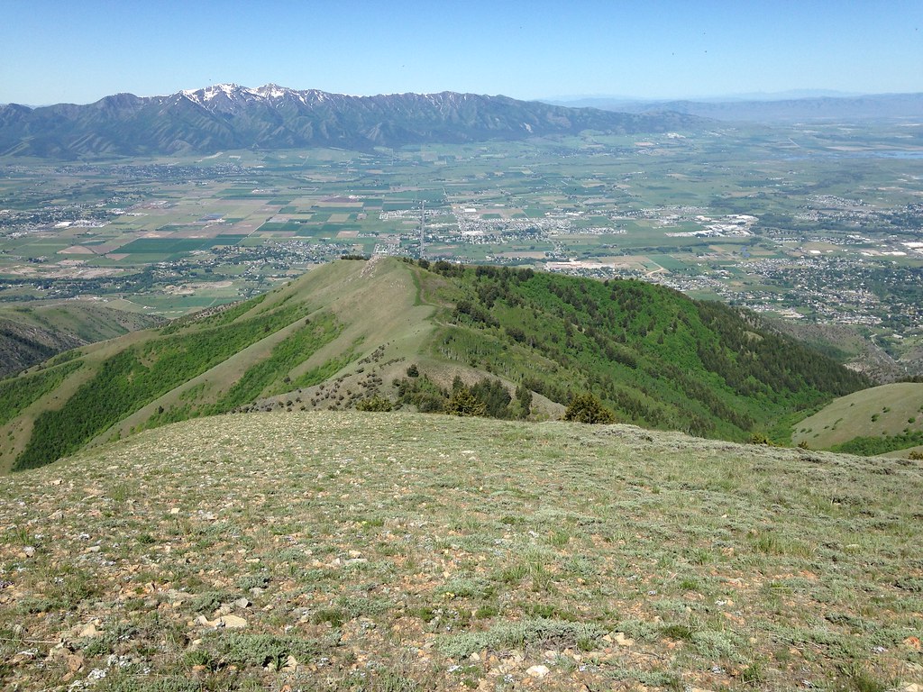
Lots of nice views of the valley on this hike. That's Gunsight Peak in the top left.
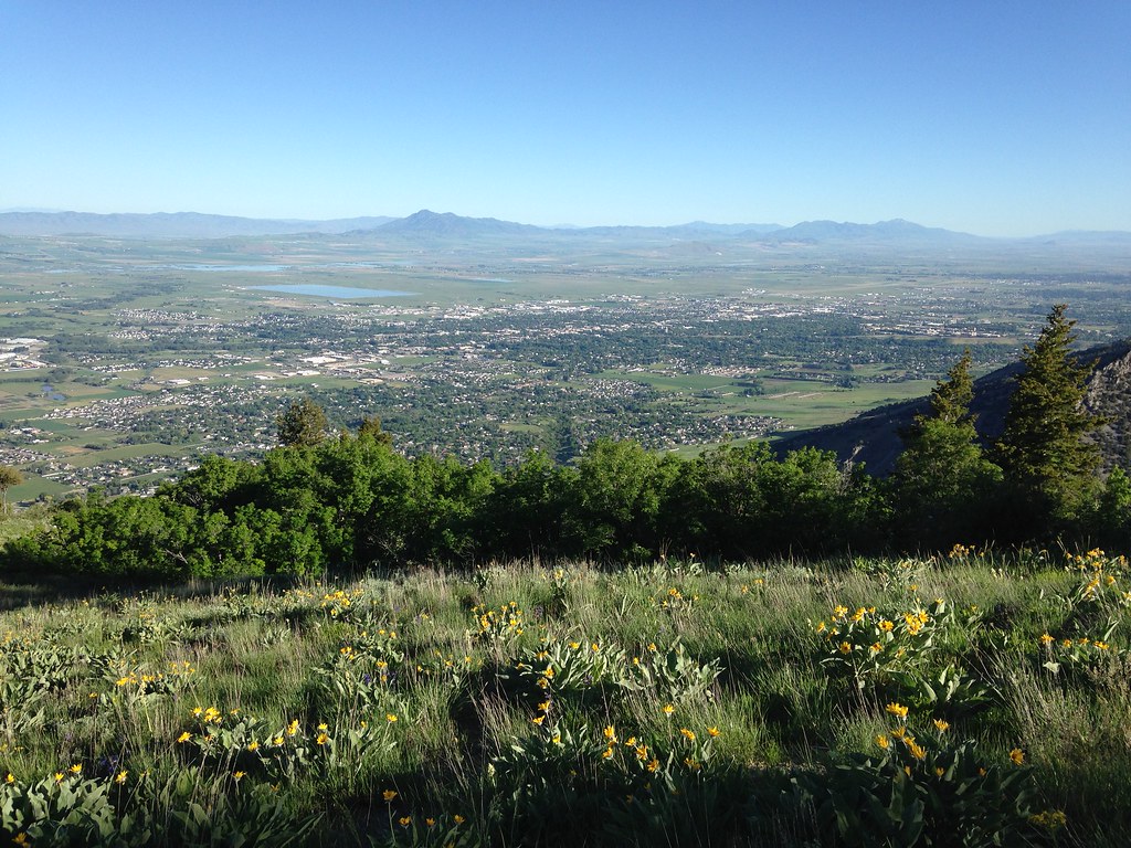
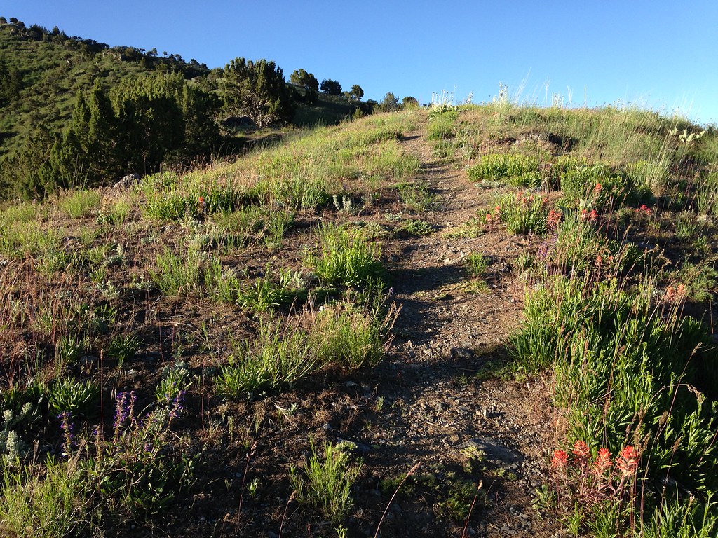
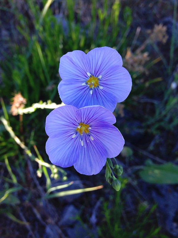
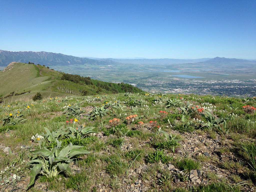
Wildflowers make hiking this time of year awesome, even on a dry mountain face like this.

This is Millville Canyon looking very green. I could hear the occasional Jeep driving its rough road.
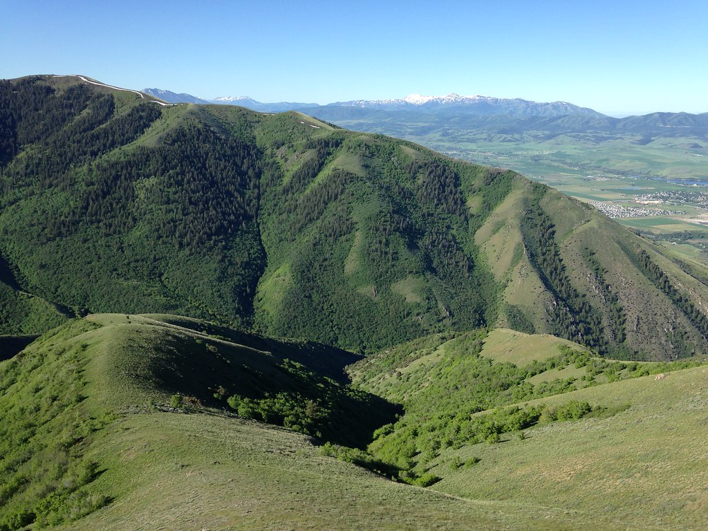
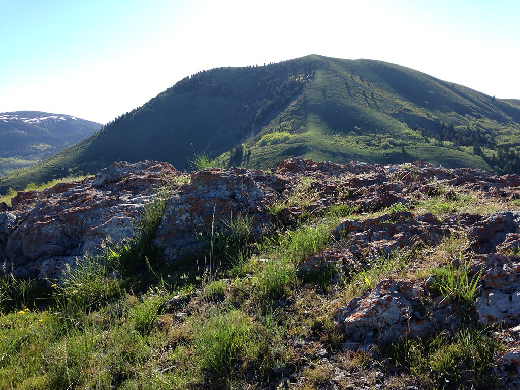
Look to the north and there's Logan Peak's south face.
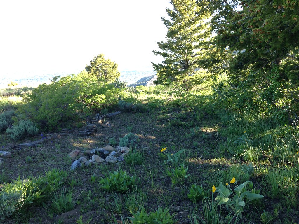
I came across this campsite a ways up. Thanks to decent tree cover, one could probably have a pretty good night's sleep here, despite being on a ridge.
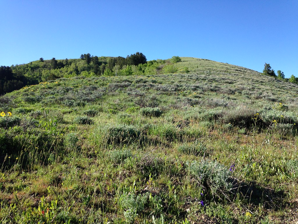
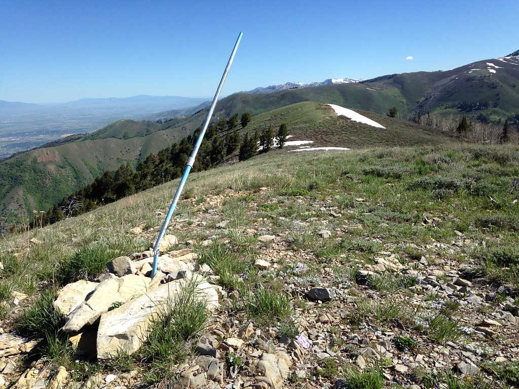
The trail eventually grows fainter as you gain elevation. You can see it in the top right.
I think of this hike as 3 sections: the first ridge climb (~1.8 mi; red), a sort-of shelf where you lose a few hundred feet in elevation (~0.6 mi; blue), then the final climb up the bald face (~0.5 mi; yellow).

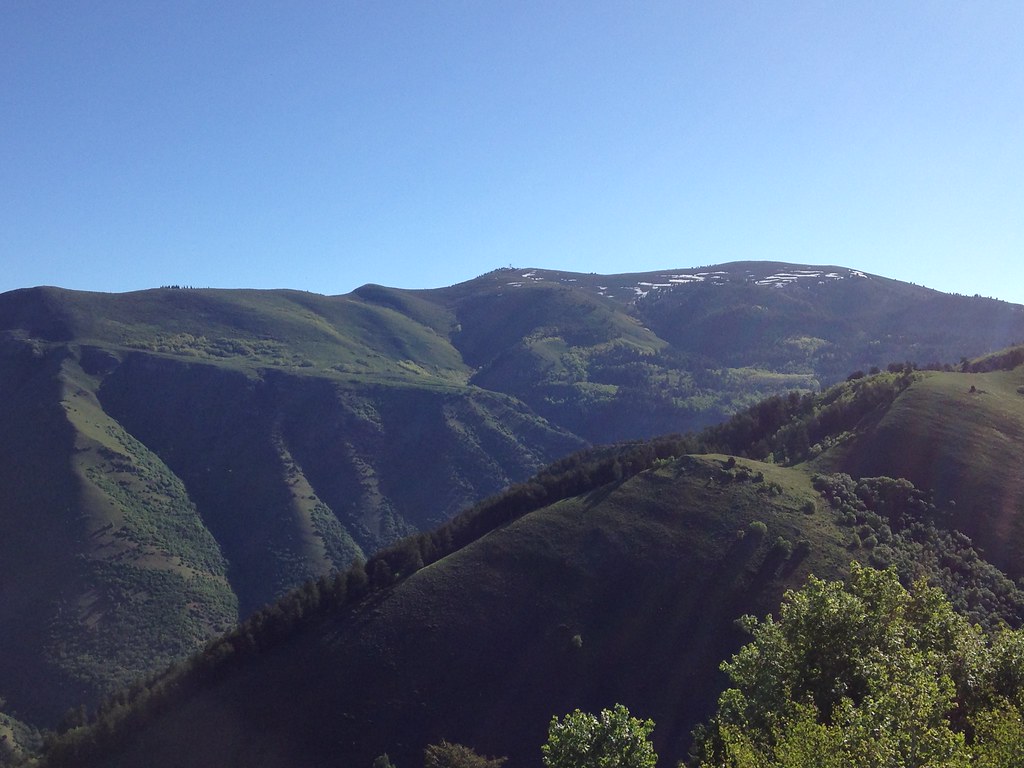
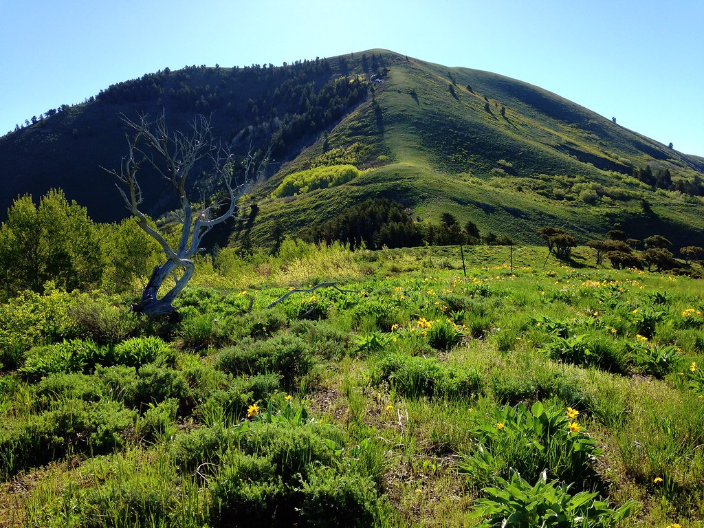
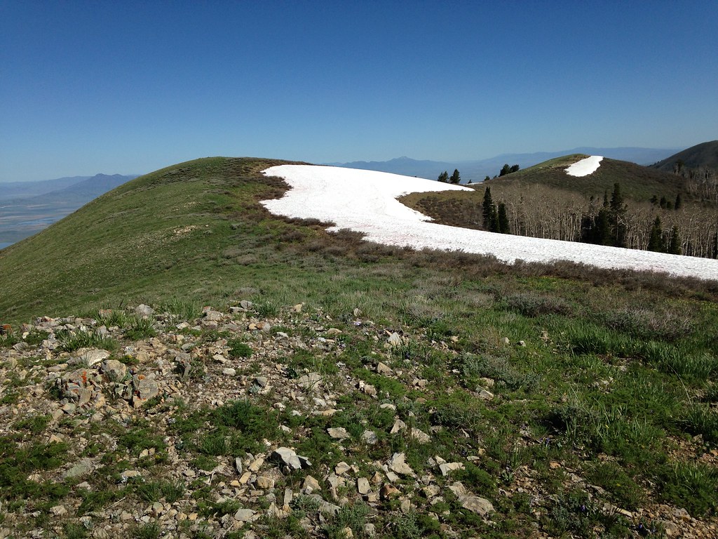
Here's the view from the beginning of the second section with the peak in the distance.
The rocks in that photo mask what the shelf looks like, so here's a shot from the other end of it just before you make the final climb.
Getting there!
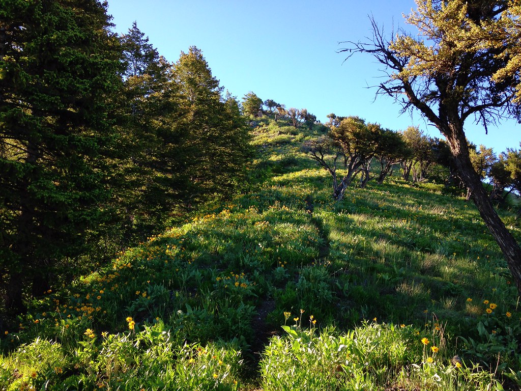
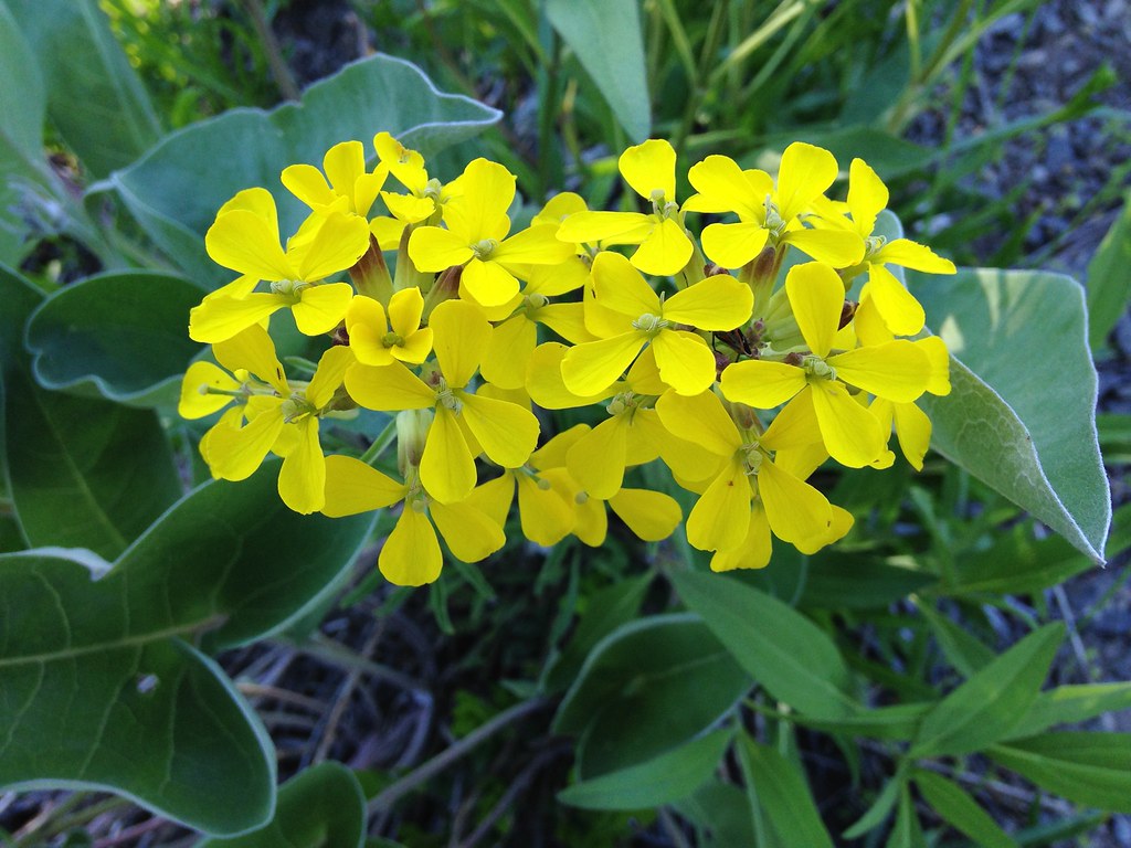
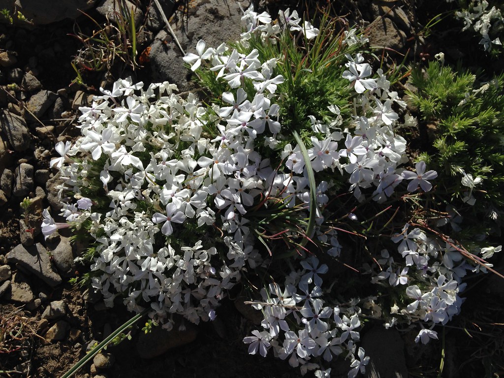
The final climb. Note all the wildflowers!
The last stretch was the most energy taxing--very steep and I found the trail to be troublesome with loose rocks. I mostly zigzagged my own path.
The summit! Note the still-snowy peaks north of Logan Canyon in this next photo.
I regret not taking any photos of the view to the east from the summit. I could see Millville Peak quite nicely and saw that hiking there from BB wouldn't be much of an issue. There was still decent snow cover in the saddle between the two peaks when I was there.
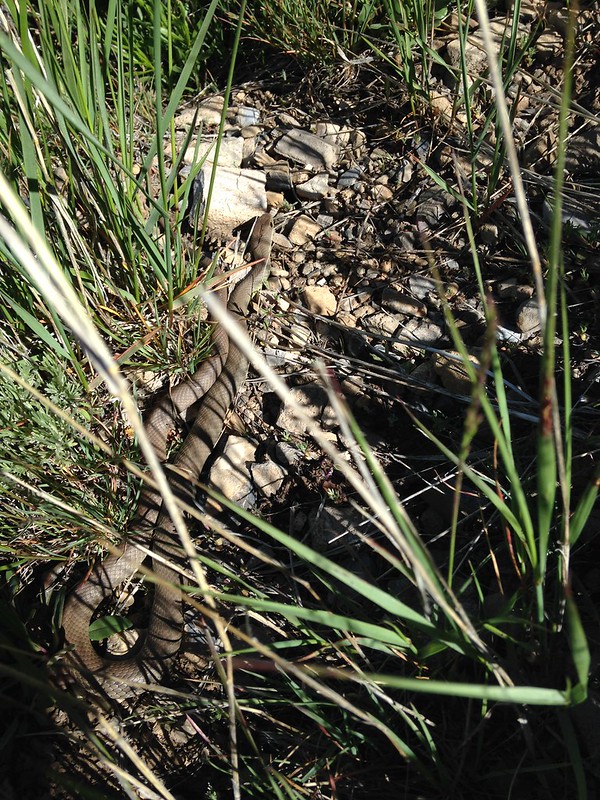
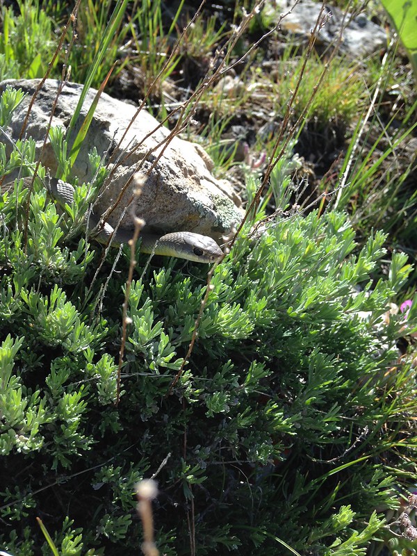
On the way down I came across this fellow who cooperated with a few photos before slithering away. Rubber Boa I believe, but someone on here may know better than I do.
As I mentioned earlier, coming down this route was pretty difficult due to the trail. It doesn't switchback at all, and combine that with its steep grade and loose sediment, I was lucky to have only slipped once. I found that zigzagging on either side of the trail was the best way to descend.
This hike is roughly 6 miles round trip. I was able to do it in about 5 and a half hours including a 30 minute break on the summit. Nice way to spend a Saturday morning!
This peak has captured my attention for a long time. It looms over my ride home, catching my eye every time. For as long as I've lived in Providence I've had the goal of climbing it one day. That goal was made several years ago, and I finally got around to getting it done. Finishing this hike gave me a special sense of accomplishment.
Approximate view from Providence.

I can think of at least 2 feasible routes to the summit--one starting from the mouth of Providence Canyon, the other would be to hike up Leatham Hollow, which begins in the Left-Hand fork of Blacksmith Fork Canyon, then bushwhack to the summit. I live closer to Providence Canyon and have had that route mapped out in my head for quite some time, so I began there.
Essentially, it's just a walk up a ridge the whole way, so it's easy to stay on track. I was surprised to find a decent trail as I began my ascent.
Here's a view of the peak from a little ways up.
The trail continues with no switchbacks strait up the ridge, looking like this for most of the way. It's a steep climb up, but I didn't think it was too terrible. Coming down was pretty terrible, though.
I thought it was neat as shown in the previous photo to be between two different types of forest.
Lots of nice views of the valley on this hike. That's Gunsight Peak in the top left.
Wildflowers make hiking this time of year awesome, even on a dry mountain face like this.
This is Millville Canyon looking very green. I could hear the occasional Jeep driving its rough road.
Look to the north and there's Logan Peak's south face.
I came across this campsite a ways up. Thanks to decent tree cover, one could probably have a pretty good night's sleep here, despite being on a ridge.
The trail eventually grows fainter as you gain elevation. You can see it in the top right.
I think of this hike as 3 sections: the first ridge climb (~1.8 mi; red), a sort-of shelf where you lose a few hundred feet in elevation (~0.6 mi; blue), then the final climb up the bald face (~0.5 mi; yellow).
Here's the view from the beginning of the second section with the peak in the distance.
The rocks in that photo mask what the shelf looks like, so here's a shot from the other end of it just before you make the final climb.
Getting there!
The final climb. Note all the wildflowers!
The last stretch was the most energy taxing--very steep and I found the trail to be troublesome with loose rocks. I mostly zigzagged my own path.
The summit! Note the still-snowy peaks north of Logan Canyon in this next photo.
I regret not taking any photos of the view to the east from the summit. I could see Millville Peak quite nicely and saw that hiking there from BB wouldn't be much of an issue. There was still decent snow cover in the saddle between the two peaks when I was there.
On the way down I came across this fellow who cooperated with a few photos before slithering away. Rubber Boa I believe, but someone on here may know better than I do.
As I mentioned earlier, coming down this route was pretty difficult due to the trail. It doesn't switchback at all, and combine that with its steep grade and loose sediment, I was lucky to have only slipped once. I found that zigzagging on either side of the trail was the best way to descend.
This hike is roughly 6 miles round trip. I was able to do it in about 5 and a half hours including a 30 minute break on the summit. Nice way to spend a Saturday morning!
This peak has captured my attention for a long time. It looms over my ride home, catching my eye every time. For as long as I've lived in Providence I've had the goal of climbing it one day. That goal was made several years ago, and I finally got around to getting it done. Finishing this hike gave me a special sense of accomplishment.
Approximate view from Providence.
Attachments
Last edited: