- Joined
- Dec 23, 2013
- Messages
- 4,296
This is a hike I did a few years before I knew this site existed, so please forgive me for the extensive delay in posting my report.
The original causeway to Antelope Island was not the northern one which you can now drive across to reach the island, but instead one that approached the island from the south. I believe it was completed in the early fifties and was used primarily for herding cattle to and from the island. I thought I had read back in the day, that it was also used to access the island in order to remove materiel from the island for the construction of I-80. I cannot find that article today though, so maybe someone who knows the history of the causeway or I-80 can chime in and correct me if need be.
I had gone out with my son a week before I did this hike to see where I needed to start from and get a general sense of what the area was like. As we walked down the dirt road, I had to stop my son from stepping on a rather large Gopher Snake that was stretched out across the road. My son said, "Dad, that snake is dead." I said, "No, I don't think it is." So I started to stroke its back with my finger and it stated sticking out its tongue but it did not move. I told my son, "Watch this!" and then went to pick him up just behind his head. Well as soon as I touched him, he wheeled around like lightning and bit me on the finger and started carrying on like a rattlesnake - coiling up and hissing and shaking the end of his tail as if he had had a rattle. Needless to say, I had to finish our little reconnaissance with my finger stuck up in the air because I could not get it to stop bleeding. My son still gets a big kick out of that story!
The hike itself is right around twenty miles round trip and essentially flat. The day I hiked it, it was raining, pouring heavily at times, and definitely a muddy slog. The sky cleared the last couple of miles on the way back. the route starts at the edge of the International Center and follows a dirt (muddy on this day) road diagonally all the way to the Salt Lake where the causeway then curves slightly to a point on the east side .9 miles north of the southern tip of the island.
Along the way, you cross the Surplus Canal which was raging and actually had spilled over its banks on the return trip.
I was surprised at the amount of wildlife that I was able to see along the way that included antelope (including a hidden fawn), coyotes, rabbits and all kinds of waterfowl.
At the beginning of the causeway there are a couple of breaches which forces you to walk out into the lake itself to get around them. The water at this point was only an inch or two deep and the lake bed was surprisingly solid so it wasn't too bad to cross. Of course, there was a fair amount of garbage along the causeway - things like old shoes, flip flops and such. I ran across six duck decoys washed up on the edge of the causeway.
Once at the island, I ate lunch before making the return trip back to my vehicle.
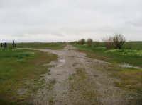
The dirt road that leads to the southern causeway
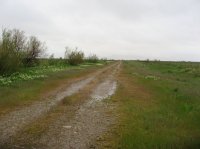
Nice and green in May
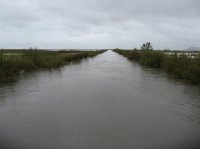 The Surplus Canal
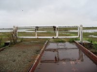
Gate at the end of the bridge across the Surplus Canal
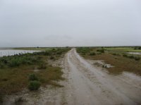
Still a pretty good rain at this point
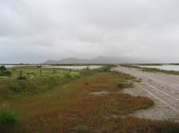
First glimpse of Antelope Island through the clouds
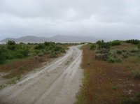
Approaching the beginning of the causeway
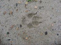
Coyote track
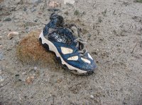
A shoe at the beginning of the causeway
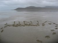
My shout-out for Uinta Brewery though I am pretty pissed that they got rid of their Kings Peak Porter
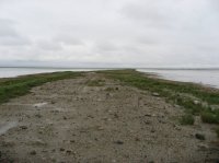
The southern causeway
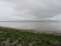
A look back at the Kennecott Smelter
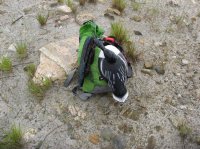
One of six duck decoys found along the causeway
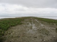
On the causeway
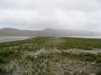
Approaching Antelope Island
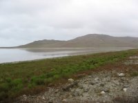
The southern end of the island
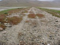
Looks like a vehicle may have used this in the recent past?
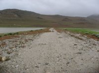
The island is within reach
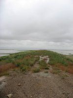
The point where the causeway meets Antelope Island
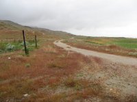
The road that heads north to the Garr Ranch
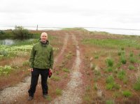
I can't recall who this is!
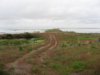
Looking back at the causeway from where I ate lunch
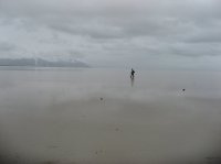
Bet you didn't know that Scatman could walk on water, did you?
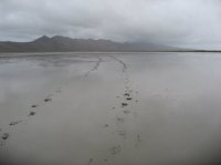
Scat tracks
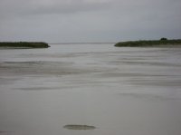
One of the breaches at the southern end of the causeway
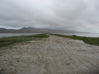
At the southern end of the causeway with a reasonable view of Antelope Island
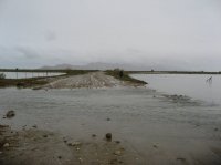
Overflow near the Surplus Canal
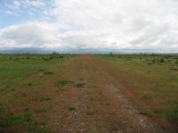
Some sun at last! Yippee!
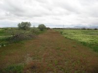
What the beginning of the hike looks like. It was raining too hard to take a picture when I first started out so I took this one at the end.
The original causeway to Antelope Island was not the northern one which you can now drive across to reach the island, but instead one that approached the island from the south. I believe it was completed in the early fifties and was used primarily for herding cattle to and from the island. I thought I had read back in the day, that it was also used to access the island in order to remove materiel from the island for the construction of I-80. I cannot find that article today though, so maybe someone who knows the history of the causeway or I-80 can chime in and correct me if need be.
I had gone out with my son a week before I did this hike to see where I needed to start from and get a general sense of what the area was like. As we walked down the dirt road, I had to stop my son from stepping on a rather large Gopher Snake that was stretched out across the road. My son said, "Dad, that snake is dead." I said, "No, I don't think it is." So I started to stroke its back with my finger and it stated sticking out its tongue but it did not move. I told my son, "Watch this!" and then went to pick him up just behind his head. Well as soon as I touched him, he wheeled around like lightning and bit me on the finger and started carrying on like a rattlesnake - coiling up and hissing and shaking the end of his tail as if he had had a rattle. Needless to say, I had to finish our little reconnaissance with my finger stuck up in the air because I could not get it to stop bleeding. My son still gets a big kick out of that story!
The hike itself is right around twenty miles round trip and essentially flat. The day I hiked it, it was raining, pouring heavily at times, and definitely a muddy slog. The sky cleared the last couple of miles on the way back. the route starts at the edge of the International Center and follows a dirt (muddy on this day) road diagonally all the way to the Salt Lake where the causeway then curves slightly to a point on the east side .9 miles north of the southern tip of the island.
Along the way, you cross the Surplus Canal which was raging and actually had spilled over its banks on the return trip.
I was surprised at the amount of wildlife that I was able to see along the way that included antelope (including a hidden fawn), coyotes, rabbits and all kinds of waterfowl.
At the beginning of the causeway there are a couple of breaches which forces you to walk out into the lake itself to get around them. The water at this point was only an inch or two deep and the lake bed was surprisingly solid so it wasn't too bad to cross. Of course, there was a fair amount of garbage along the causeway - things like old shoes, flip flops and such. I ran across six duck decoys washed up on the edge of the causeway.
Once at the island, I ate lunch before making the return trip back to my vehicle.

The dirt road that leads to the southern causeway

Nice and green in May
 The Surplus Canal
Gate at the end of the bridge across the Surplus Canal

Still a pretty good rain at this point

First glimpse of Antelope Island through the clouds

Approaching the beginning of the causeway

Coyote track

A shoe at the beginning of the causeway

My shout-out for Uinta Brewery though I am pretty pissed that they got rid of their Kings Peak Porter

The southern causeway

A look back at the Kennecott Smelter

One of six duck decoys found along the causeway

On the causeway

Approaching Antelope Island

The southern end of the island

Looks like a vehicle may have used this in the recent past?

The island is within reach

The point where the causeway meets Antelope Island

The road that heads north to the Garr Ranch

I can't recall who this is!

Looking back at the causeway from where I ate lunch

Bet you didn't know that Scatman could walk on water, did you?

Scat tracks

One of the breaches at the southern end of the causeway

At the southern end of the causeway with a reasonable view of Antelope Island

Overflow near the Surplus Canal

Some sun at last! Yippee!

What the beginning of the hike looks like. It was raining too hard to take a picture when I first started out so I took this one at the end.
