- Joined
- Dec 5, 2017
- Messages
- 1,422
Oct 15-21, 2026
Part 1:
Day 1 - Spanish Bottom to Confluence Overlook
Day 2 - Confluence Overlook to Pete's Mesa Trail via Shot Canyon and Chimney Rock
Day 3 - Pete's Mesa (and attempt up to the mesa) to north end of Pictograph Fork
Part 2:
Day 4 - Harvest Scene, Triple Arch, and the northern half of South Fork Horse Canyon
Day 5 - South Fork to Chocolate Drops Trail
Day 6 - Chocolate Drops back to Spanish Bottom via Chimney Rock
Day 7 - Rainy jet boat ride back to Moab
Day 4
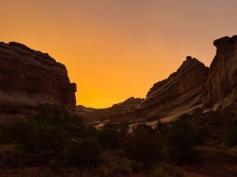
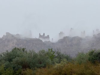
I was awake but still in the tent - listening to very light rain - when our orange tent fly started glowing. What is going on out there? I gasped as I went outside and saw this scene:
In the other direction was this rainbow.
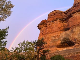
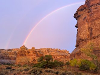
I moved away from our camp to get a better view of the rainbow. What a great way to start the morning!
We left our tent set up while we went to the Harvest Scene. I was very excited to see this and thoroughly enjoyed multiple panels along the wall.
In Pictograph Fork, there were lots of cottonwoods,
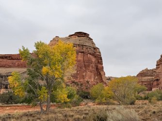
as well as interesting rocks, as always here.
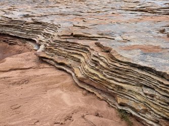
Armed with coordinates for Harvest Scene, we had no trouble finding it. We knew the art would be best viewed in morning light, but due to the drizzly cloudy day it probably would have looked the same all day.
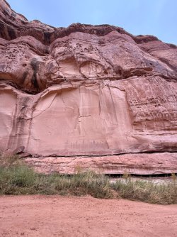
These pictographs are big!
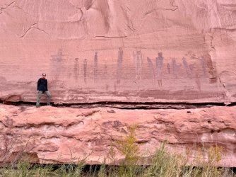
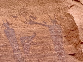
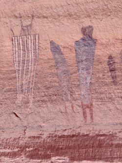
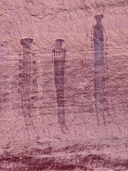
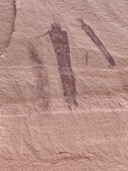
and further along the wall
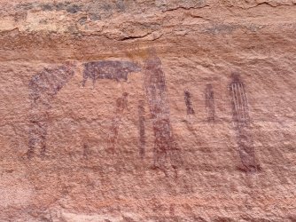
and even further along
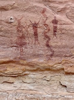
We wandered a little further into Pictograph Fork and wished we could have spent more time there.
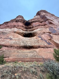
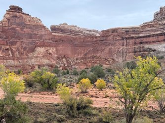
We enjoyed this tower and didn't realize we'd be seeing it from above two days later on the Chocolate Drops trail. One of the things I loved about this trip was getting to see things multiple times from different locations and directions.
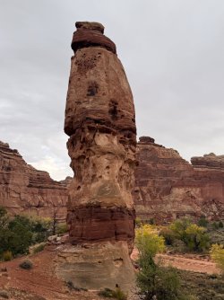
We went back out the north end of Pictograph Fork, and still without heavy packs we walked over to Triple Arch, which is a very short detour up North Fork Horse Canyon.
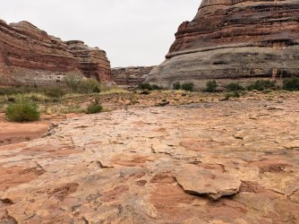
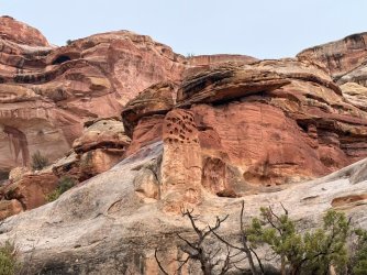
Our first view of Triple Arch - kind of hard to see all three
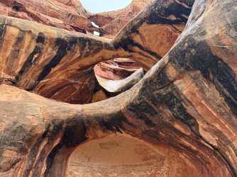
From right underneath you see it differently. We decided to call it Future Quadruple Arch.
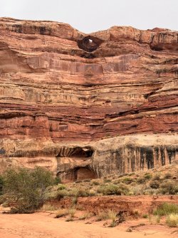
We went back to camp, packed up wet (just a drizzle, but everything was still wet), and headed up South Fork. The rain stopped and we enjoyed South Fork very much. When we were planning the trip, we had wanted to go to Maze Overlook, but the more we learned about it (mostly YouTube videos, plus the ranger's description) the more we realized it wasn't the right thing for us. So we skipped that - oh well.
We often saw drainages coming down from the Chocolate Drops ridge. We weren't sure if we were going to go up there, as our original hope had been to go back via Ernie's Country. It turned out we did go there the next day (we felt we didn't have time to go via Ernie's) and it was terrific. (More about that later.) There was a LOT of water in South Fork. I knew ahead of time to expect water, and there was lots more than I anticipated.
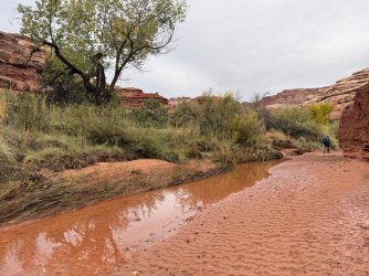
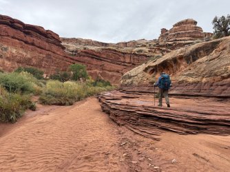
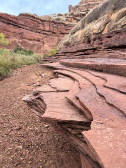
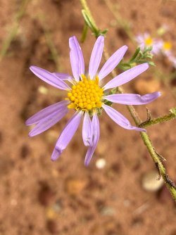
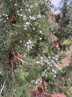
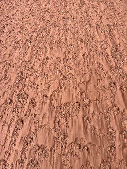
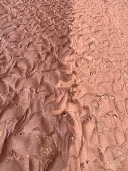
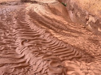
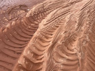
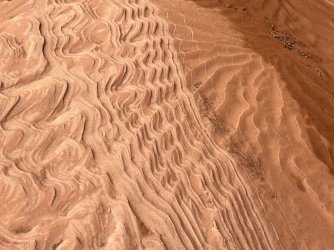
In one area, the mix of dry and wet sand from recent rains made beautiful patterns in the wash.
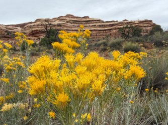
Chocolate Drops were a regular presence in the northern section of South Fork.
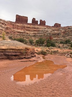
Raining again
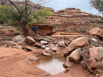
Always fun things to look at
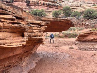
I had never seen these with fall color.
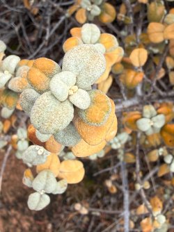
The water must have been pretty high at some point to leave that log on the rock.
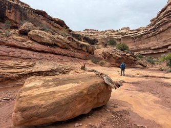
This part reminded us of Swiss Cheese Falls in Coyote Gulch.
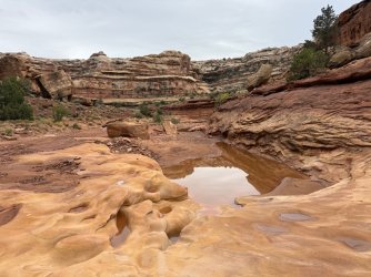
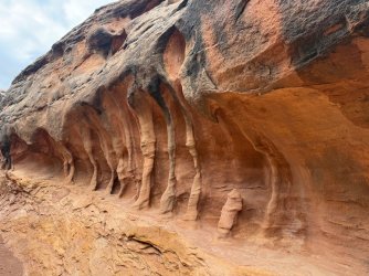
Alcoves everywhere!
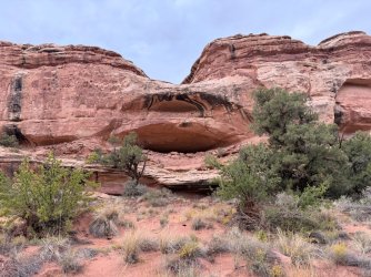
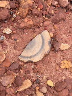
What kind of rock is this???
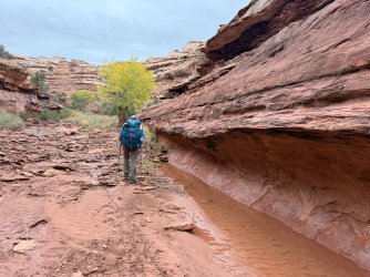
We started looking for campsites and picked a great one up on a hill above the water. Off in the distance we could see these interesting formations that we would end up seeing again and again when we hiked Chocolate Drops trail later on.
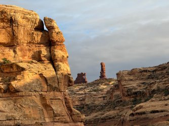
Great scenes from camp that night...
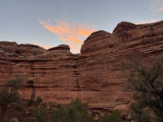
Day 5
...and again the next morning. Very moody skies!
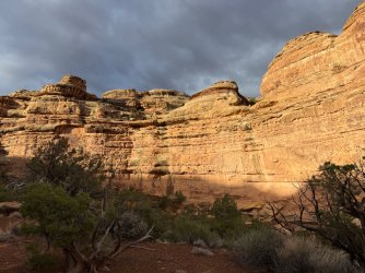
Continuing up (south) through South Fork. If you were to draw a straight line from one end to the other, South Fork might be about 4 miles. But because of all the squiggles in the wash, the walking distance is about 8 miles. Sometimes there were cut-offs, which reminded us of the Escalante which was fitting as that's where we had originally planned to backpack. Great scenery as always.
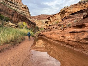
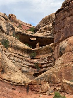
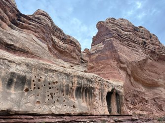
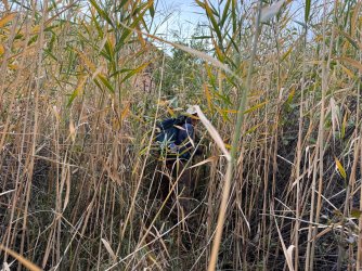
We knew there was a large pool with a pour-off that we'd need to bypass on the left/east. We bushwhacked through the tall reeds, but it didn't take very long to get through them.
Raining again
Horse legs
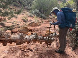
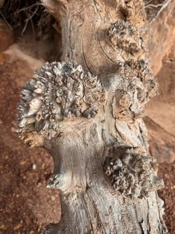
What's going on with this old dead tree trunk?
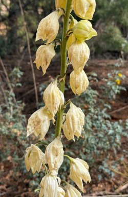
Yucca flowers
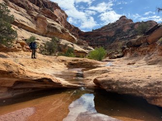
Last pool before we started climbing out of the canyon. As we went up up up, there were some potholes in the slick rock, but they didn't look very clear and we were glad we had maxed up further down. There was no more water for us after this point, except for muddy puddles on the jeep road that we would only have used if absolutely necessary.
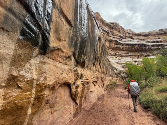
Climbing out of South Fork had lots of spicy parts, and the trail winds back and forth around the cliffs.
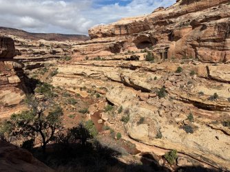
This unnamed arch reminded me of digging tunnels at the beach.
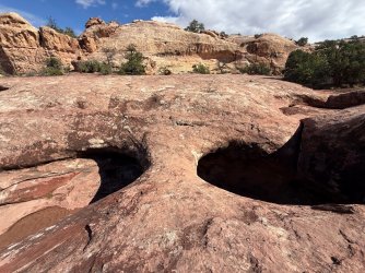
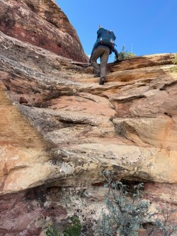
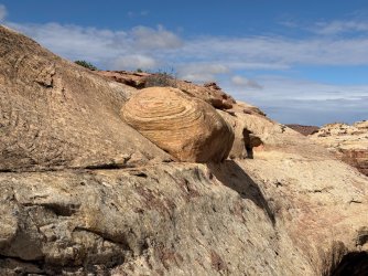
Finally out of the canyon and only a short walk from here to the road
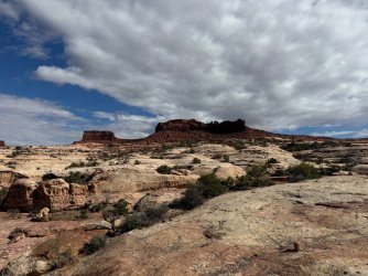
We got to the road and rested a little bit. The scenery to the south toward Ernie's looked great, but by this point we had already decided we wouldn't have enough time for that on this trip. (One more day would have done it, though.)
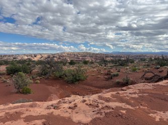
The fins
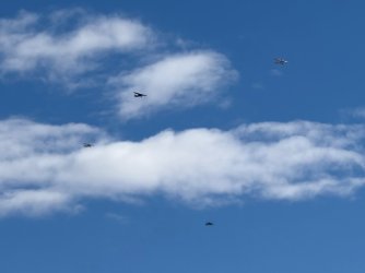
While we were resting, there was a flyover with 6 planes. Where were they coming from? What were they doing?
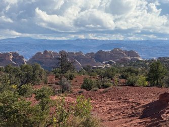
We would soon be walking amidst these formations.
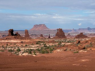
Road walking was very different from canyon and ridge walking!
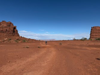
We had decided we'd walk partway along the Chocolate Drops trail, find a place to camp, and then do a packless out-and-back the next morning to the Chocolate Drops. This worked out really well for us. Along the Chocolate Drops trail, you've got interesting rock formations close at hand as well as spectacular views across the Maze. We felt that it sort of, kind of (maybe?) made up for not making it to Maze Overlook.
The Plug and Standing Rock
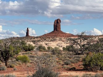
Lizard Rock - the next day when we walked behind it we could kind of see why it's called that, but it seemed like a bit of a naming stretch to us.
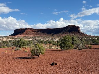
These two didn't have names that we could find. They were the same formations we had seen from our camp the previous evening, so it was really fun to be next to them now. One of them we thought looked a little bit like a turkey. The other - and I'll let you guess - we named the Petrified Pe - - -, because really, what else could it be?!
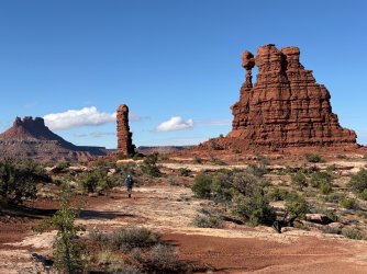
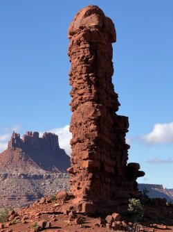
So many cool rocks.
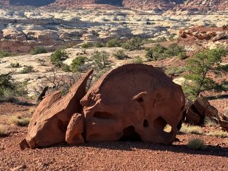
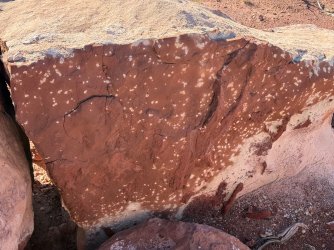
This reminded me of some we had seen in the Grand Canyon in April, with all the light colored spots.
The Chocolate Drops look very different from different angles. They're tall, long, and relatively narrow, so from this direction they look completely different from other times we had seen them.
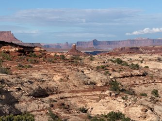
Some interesting weather rolled in. We never got rained on, but there were dramatic skies to the east and it clearly was raining over there. We enjoyed watching the clouds move from south to north across the Maze from where we were.
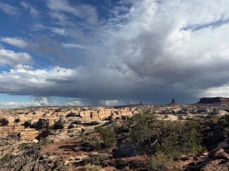
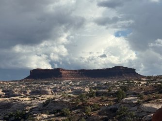
Rain + Sun = Rainbow! We got to see multiple ones that afternoon and evening. Lovely!
The first one, around 4:45pm
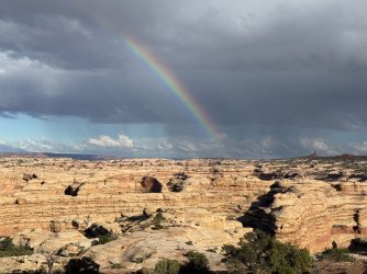
The second one, around 5:15pm
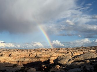
The third one, around 6:25pm, landing right at Chimney Rock!
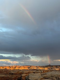
Dramatic skies the rest of the evening - this one looking west
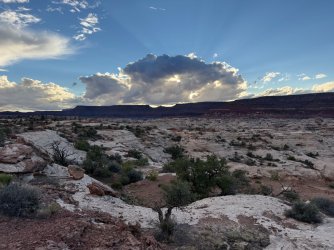
This one looking east, including the La Sal Mtns behind the pink clouds
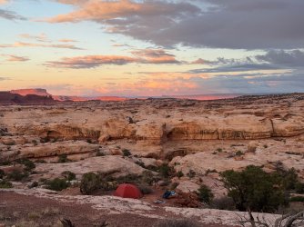
This one looking west
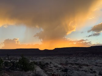
This one looking south
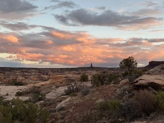
After sunset, looking southeast to Chimney Rock
Day 6
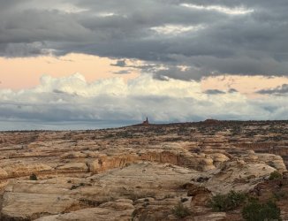
The light show continued the next morning - Chimney Rock again with totally different light
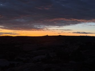
Pre-sunrise
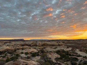
Chimney Rock has quite a presence out here!
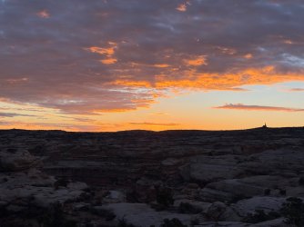
To the west - Elaterite Butte and the mesa surrounding it - this is what the colors really looked like!
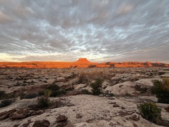
Look at our little tent all lit up by the sun! (We had removed the orange fly to dry off.)
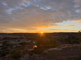
Looking north toward the Chocolate Drops, Ekker Butte, Candlestick Tower, and Island in the Sky
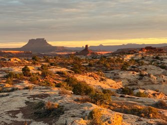
Elaterite Butte
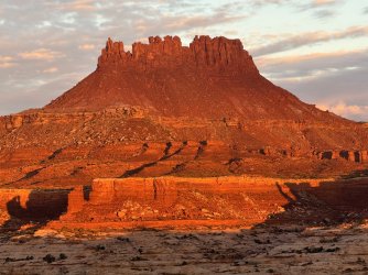
Looking north later
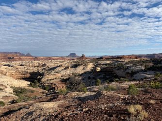
Elaterite Butte later
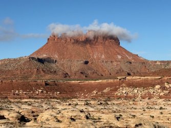
We packed up camp but stashed our things to get later. We headed further out the Chocolate Drops trail and loved all the views. This is looking down into Pictograph Fork where we had been the previous morning, and we could see the tower we had explored there. (In the middle of the picture) So cool!
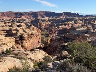
Approaching the Chocolate Drops from the south
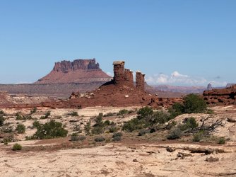
The Chocolate Drops trail is very easy except there's one part that's a bit spicy that some people might find intimidating. But otherwise it was easy walking the whole way.
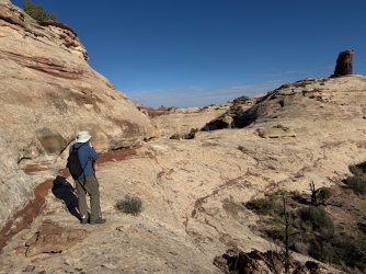
Love all that glorious white/gray slick rock before you get to the dark red/brown chocolate!
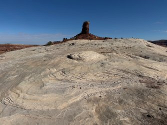
Here we're starting the 0.6 mile loop that goes around the Drops.
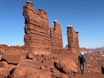
I climbed up a tiny bit.
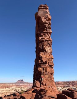
Enormous! (Can you see my husband down low for scale?)
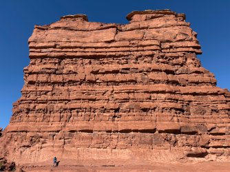
At the far end of the Chocolate Drops, we went out a bit further on the slick rock going north. From there, we could see to our left/west South Fork where we had been the day before AND where there were two people going up the Maze Overlook "trail." We watched them for a bit and it seemed rather challenging. I think we made the right decision not to go, based partly on our abilities (or lack thereof) and partly because of the time it would have taken us.
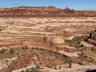
Heading back around the west side of the Drops
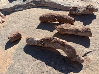
Never a shortage of interesting rocks to see.
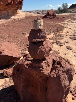
Loved this cairn, modeled after the Drops with their white caps!
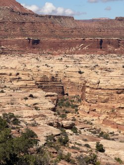
We retrieved our packs and continued back out toward the road. We thought we might be able to see our Night 4 camp from the base of the Petrified Pe - - - (since we had seen that from our campsite). Sure enough, it was visible down below. (The green part in the middle.) That was so cool!
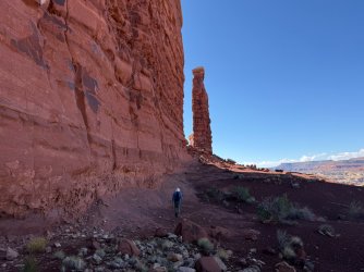
Once back on the jeep road, the walking was very quick and easy. Standing Rock is ahead of us here.
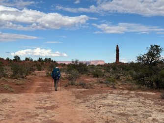
After Chimney Rock, we stayed on the road toward the Doll House. The moon had been waxing throughout our trip, blocking the stars a bit but giving us good light in the evenings.
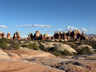
We retrieved our water cache (2.5 L, which ended up being even more than we needed, but there was no way to know that ahead of time on Day 1) and then went through the Doll House back down to Spanish Bottom.
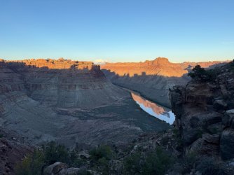
Day 7
We were ready for Tex's jet boat at 10:00am the next morning. Unfortunately, the rain had decided to join us for this part of the trip, starting perhaps around dawn and getting all of our stuff wet. Oh well. We absolutely loved this trip and the muddy, messy clean up was totally worth it
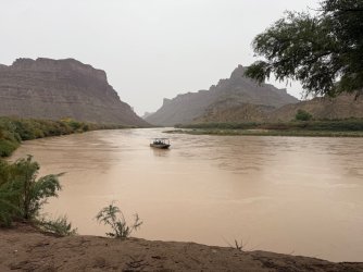
Goodbye Doll House - hopefully we'll see you again another time...
Part 1:
Day 1 - Spanish Bottom to Confluence Overlook
Day 2 - Confluence Overlook to Pete's Mesa Trail via Shot Canyon and Chimney Rock
Day 3 - Pete's Mesa (and attempt up to the mesa) to north end of Pictograph Fork
Part 2:
Day 4 - Harvest Scene, Triple Arch, and the northern half of South Fork Horse Canyon
Day 5 - South Fork to Chocolate Drops Trail
Day 6 - Chocolate Drops back to Spanish Bottom via Chimney Rock
Day 7 - Rainy jet boat ride back to Moab
Day 4
I was awake but still in the tent - listening to very light rain - when our orange tent fly started glowing. What is going on out there? I gasped as I went outside and saw this scene:
In the other direction was this rainbow.
I moved away from our camp to get a better view of the rainbow. What a great way to start the morning!
We left our tent set up while we went to the Harvest Scene. I was very excited to see this and thoroughly enjoyed multiple panels along the wall.
In Pictograph Fork, there were lots of cottonwoods,
as well as interesting rocks, as always here.
Armed with coordinates for Harvest Scene, we had no trouble finding it. We knew the art would be best viewed in morning light, but due to the drizzly cloudy day it probably would have looked the same all day.
These pictographs are big!
and further along the wall
and even further along
We wandered a little further into Pictograph Fork and wished we could have spent more time there.
We enjoyed this tower and didn't realize we'd be seeing it from above two days later on the Chocolate Drops trail. One of the things I loved about this trip was getting to see things multiple times from different locations and directions.
We went back out the north end of Pictograph Fork, and still without heavy packs we walked over to Triple Arch, which is a very short detour up North Fork Horse Canyon.
Our first view of Triple Arch - kind of hard to see all three
From right underneath you see it differently. We decided to call it Future Quadruple Arch.
We went back to camp, packed up wet (just a drizzle, but everything was still wet), and headed up South Fork. The rain stopped and we enjoyed South Fork very much. When we were planning the trip, we had wanted to go to Maze Overlook, but the more we learned about it (mostly YouTube videos, plus the ranger's description) the more we realized it wasn't the right thing for us. So we skipped that - oh well.
We often saw drainages coming down from the Chocolate Drops ridge. We weren't sure if we were going to go up there, as our original hope had been to go back via Ernie's Country. It turned out we did go there the next day (we felt we didn't have time to go via Ernie's) and it was terrific. (More about that later.) There was a LOT of water in South Fork. I knew ahead of time to expect water, and there was lots more than I anticipated.
In one area, the mix of dry and wet sand from recent rains made beautiful patterns in the wash.
Chocolate Drops were a regular presence in the northern section of South Fork.
Raining again
Always fun things to look at
I had never seen these with fall color.
The water must have been pretty high at some point to leave that log on the rock.
This part reminded us of Swiss Cheese Falls in Coyote Gulch.
Alcoves everywhere!
What kind of rock is this???
We started looking for campsites and picked a great one up on a hill above the water. Off in the distance we could see these interesting formations that we would end up seeing again and again when we hiked Chocolate Drops trail later on.
Great scenes from camp that night...
Day 5
...and again the next morning. Very moody skies!
Continuing up (south) through South Fork. If you were to draw a straight line from one end to the other, South Fork might be about 4 miles. But because of all the squiggles in the wash, the walking distance is about 8 miles. Sometimes there were cut-offs, which reminded us of the Escalante which was fitting as that's where we had originally planned to backpack. Great scenery as always.
We knew there was a large pool with a pour-off that we'd need to bypass on the left/east. We bushwhacked through the tall reeds, but it didn't take very long to get through them.
Raining again
Horse legs
What's going on with this old dead tree trunk?
Yucca flowers
Last pool before we started climbing out of the canyon. As we went up up up, there were some potholes in the slick rock, but they didn't look very clear and we were glad we had maxed up further down. There was no more water for us after this point, except for muddy puddles on the jeep road that we would only have used if absolutely necessary.
Climbing out of South Fork had lots of spicy parts, and the trail winds back and forth around the cliffs.
This unnamed arch reminded me of digging tunnels at the beach.
Finally out of the canyon and only a short walk from here to the road
We got to the road and rested a little bit. The scenery to the south toward Ernie's looked great, but by this point we had already decided we wouldn't have enough time for that on this trip. (One more day would have done it, though.)
The fins
While we were resting, there was a flyover with 6 planes. Where were they coming from? What were they doing?
We would soon be walking amidst these formations.
Road walking was very different from canyon and ridge walking!
We had decided we'd walk partway along the Chocolate Drops trail, find a place to camp, and then do a packless out-and-back the next morning to the Chocolate Drops. This worked out really well for us. Along the Chocolate Drops trail, you've got interesting rock formations close at hand as well as spectacular views across the Maze. We felt that it sort of, kind of (maybe?) made up for not making it to Maze Overlook.
The Plug and Standing Rock
Lizard Rock - the next day when we walked behind it we could kind of see why it's called that, but it seemed like a bit of a naming stretch to us.
These two didn't have names that we could find. They were the same formations we had seen from our camp the previous evening, so it was really fun to be next to them now. One of them we thought looked a little bit like a turkey. The other - and I'll let you guess - we named the Petrified Pe - - -, because really, what else could it be?!
So many cool rocks.
This reminded me of some we had seen in the Grand Canyon in April, with all the light colored spots.
The Chocolate Drops look very different from different angles. They're tall, long, and relatively narrow, so from this direction they look completely different from other times we had seen them.
Some interesting weather rolled in. We never got rained on, but there were dramatic skies to the east and it clearly was raining over there. We enjoyed watching the clouds move from south to north across the Maze from where we were.
Rain + Sun = Rainbow! We got to see multiple ones that afternoon and evening. Lovely!
The first one, around 4:45pm
The second one, around 5:15pm
The third one, around 6:25pm, landing right at Chimney Rock!
Dramatic skies the rest of the evening - this one looking west
This one looking east, including the La Sal Mtns behind the pink clouds
This one looking west
This one looking south
After sunset, looking southeast to Chimney Rock
Day 6
The light show continued the next morning - Chimney Rock again with totally different light
Pre-sunrise
Chimney Rock has quite a presence out here!
To the west - Elaterite Butte and the mesa surrounding it - this is what the colors really looked like!
Look at our little tent all lit up by the sun! (We had removed the orange fly to dry off.)
Looking north toward the Chocolate Drops, Ekker Butte, Candlestick Tower, and Island in the Sky
Elaterite Butte
Looking north later
Elaterite Butte later
We packed up camp but stashed our things to get later. We headed further out the Chocolate Drops trail and loved all the views. This is looking down into Pictograph Fork where we had been the previous morning, and we could see the tower we had explored there. (In the middle of the picture) So cool!
Approaching the Chocolate Drops from the south
The Chocolate Drops trail is very easy except there's one part that's a bit spicy that some people might find intimidating. But otherwise it was easy walking the whole way.
Love all that glorious white/gray slick rock before you get to the dark red/brown chocolate!
Here we're starting the 0.6 mile loop that goes around the Drops.
I climbed up a tiny bit.
Enormous! (Can you see my husband down low for scale?)
At the far end of the Chocolate Drops, we went out a bit further on the slick rock going north. From there, we could see to our left/west South Fork where we had been the day before AND where there were two people going up the Maze Overlook "trail." We watched them for a bit and it seemed rather challenging. I think we made the right decision not to go, based partly on our abilities (or lack thereof) and partly because of the time it would have taken us.
Heading back around the west side of the Drops
Never a shortage of interesting rocks to see.
Loved this cairn, modeled after the Drops with their white caps!
We retrieved our packs and continued back out toward the road. We thought we might be able to see our Night 4 camp from the base of the Petrified Pe - - - (since we had seen that from our campsite). Sure enough, it was visible down below. (The green part in the middle.) That was so cool!
Once back on the jeep road, the walking was very quick and easy. Standing Rock is ahead of us here.
After Chimney Rock, we stayed on the road toward the Doll House. The moon had been waxing throughout our trip, blocking the stars a bit but giving us good light in the evenings.
We retrieved our water cache (2.5 L, which ended up being even more than we needed, but there was no way to know that ahead of time on Day 1) and then went through the Doll House back down to Spanish Bottom.
Day 7
We were ready for Tex's jet boat at 10:00am the next morning. Unfortunately, the rain had decided to join us for this part of the trip, starting perhaps around dawn and getting all of our stuff wet. Oh well. We absolutely loved this trip and the muddy, messy clean up was totally worth it
Goodbye Doll House - hopefully we'll see you again another time...
Last edited: